
Top fish species at Lillys Cove


Check which species have trophy potential in Lillys Cove
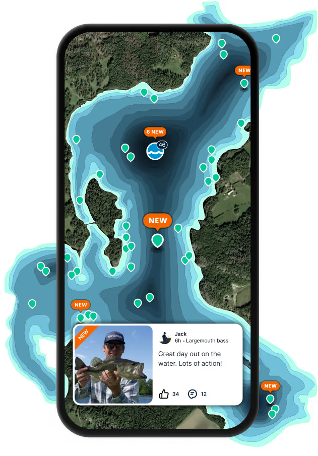
Lillys Cove fishing reports

Continue browsing catches and catch locations in the Fishbrain app
When are Striped Bass biting on Lillys Cove?
Learn what time of year and day to go fishing at Lillys Cove. Download Fishbrain today to look for new fishing spots, scout new fishing access, or prep for your next trip.

Fishing regulations at Lillys Cove, ME
Disclaimer: Always check local fishing regulations, water access rights and land ownership before fishing, regardless of any catches logged in that area by the Fishbrain community. Fishbrain has mapped millions of acres of government-owned land across the USA to help you identify potential fishing access, but you are responsible for ensuring compliance with all legal requirements.
Fishing regulations in Maine can change throughout the year. Make sure to check this page before fishing for the most up to date rules and regulations for the current season. Local regulations govern when you can fish, the max size of the fish you can keep, how many fish you can keep, and more.
Below you will see fishing regulations for catching Striped bass as of April 15th, 2026. To view regulations for a different fish species, please click on your preferred species in the drop-down.
Seasons
Bag limit
Min size
Max size
Hook and line only, no gaffing of striped bass.
CATCH & RELEASE SEASON WITH SPECIAL GEAR RESTRICTIONS From May 1 through June 30, inclusive. Fishing in this area is restricted to single hooked* artificial lures only and use of or possession of marine bait, dead or alive, is prohibited. (* may be a single treble hook)
OPEN SEASON: July 1 through November 30, inclusive.
CLOSED SEASON: Striped bass fishing is prohibited from December 1 through June 30, inclusive (exception catch & release season with special gear restrictions).
For more information, see 2023 Maine Striped Bass Regulations.
The Kennebec watershed is defined as all coastal waters inside and upstream of a line drawn from the outer extremity of Cape Small, in Phippsburg, to the outer extremity of Salter Island, thence to the outer extremity of Cape Newagen, in Southport. This area includes the coastal waters of Popham Beach and the adjoining State Park, Reid State Park, and all riverine waters of the Kennebec, Sheepscot, and Androscoggin Rivers including all bays and tributaries of those rivers to the head of tide. Due to the removal of Edwards dam, the "head of tide" in the Kennebec River is now at the downstream side of the power line located approximately 4,200 feet upstream of the Calumet Bridge at Old Fort Western in Augusta (formerly the Father Curran Bridge) for enforcement purposes.
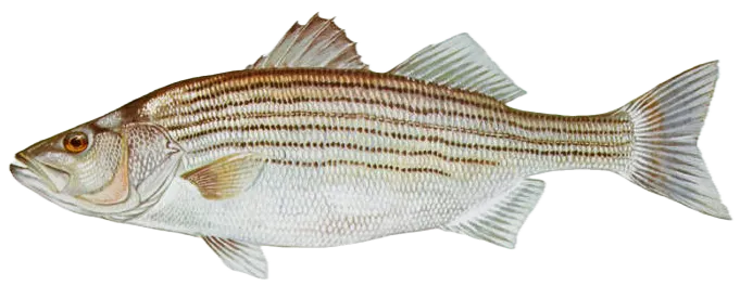
Morone saxatilis
Regulations for

FAQ about Lillys Cove fishing
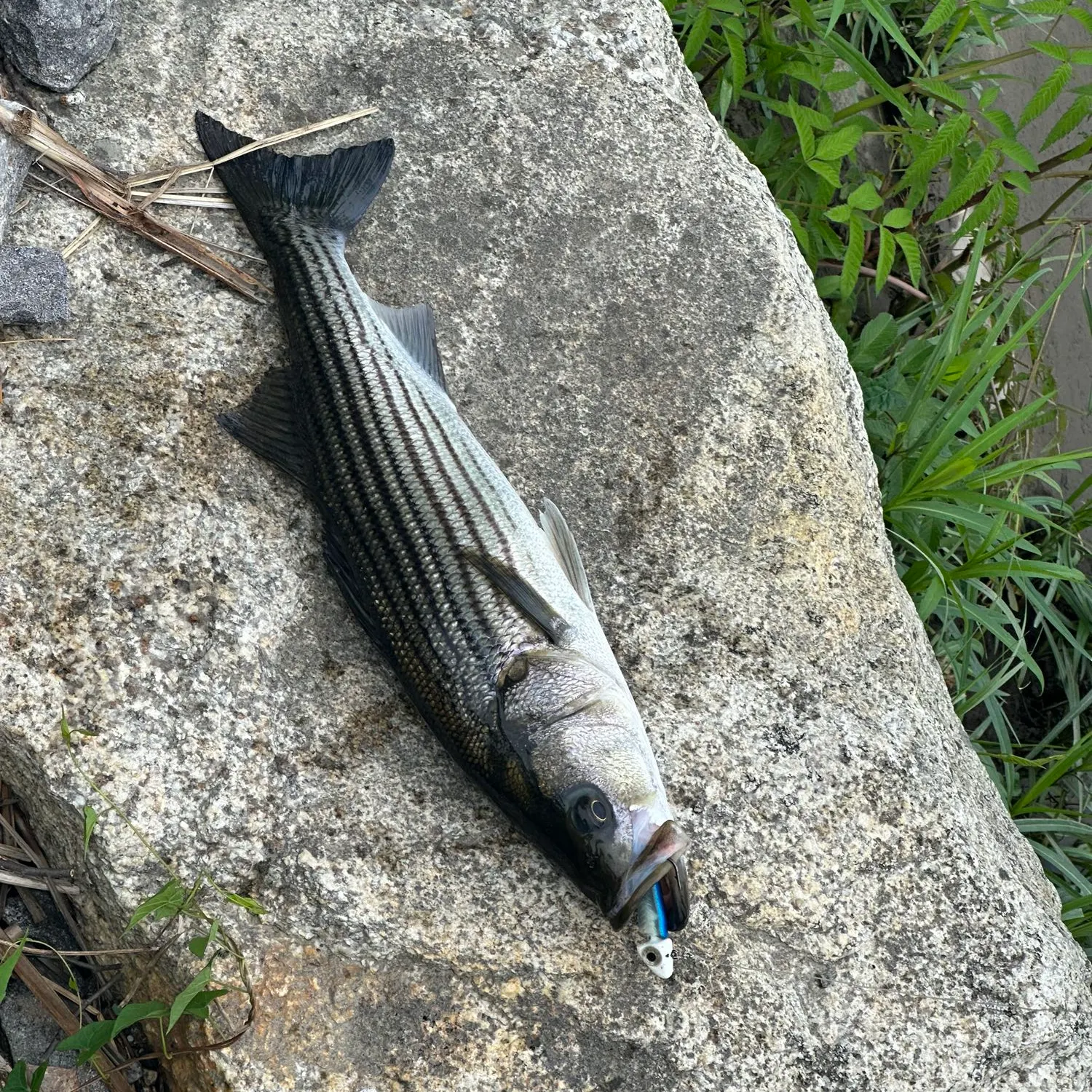
- Striped bass - 1 members reported to have caught this fish
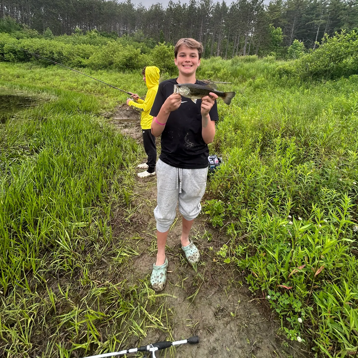
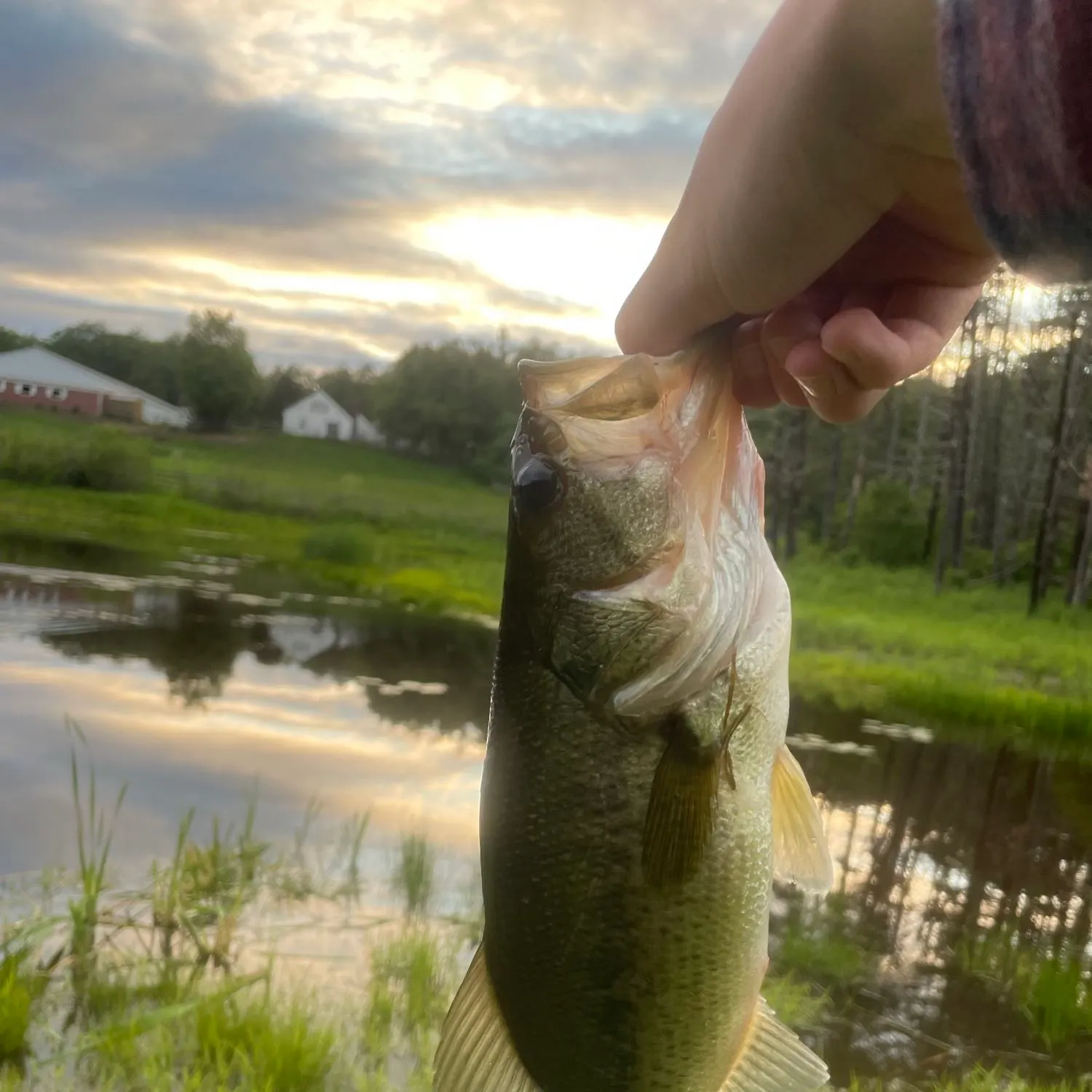
- Largemouth bass - 2 members reported to have caught this fish
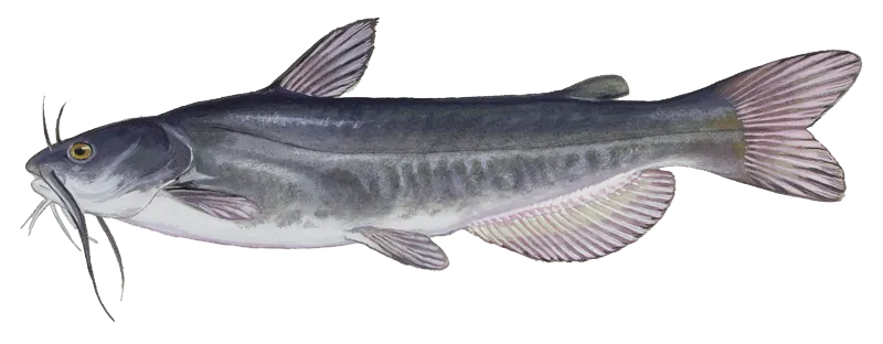
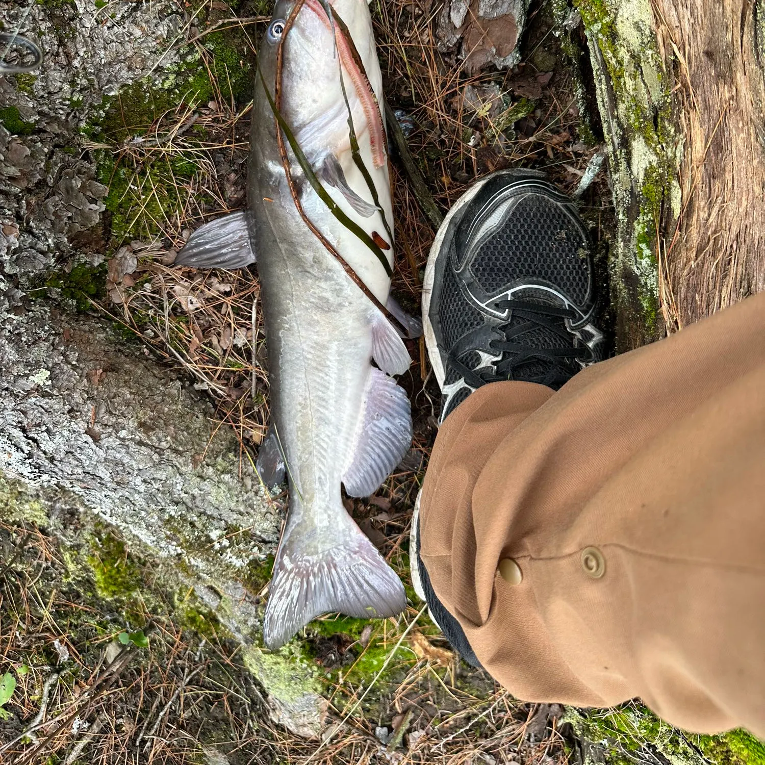
- White bullhead - 1 members reported to have caught this fish
- @chuckbachman reported a nice Largemouth bass.
- @emmetangler reported a nice White bullhead.
- @emmetangler reported a nice Striped bass.
- @HankBurt reported a nice Largemouth bass.
- @HankBurt reported a nice Pumpkinseed.
Free trial available