Depth maps highlight terrain changes as color-coded contours, so classic bass and walleye structure — points, humps, ledges, drop-offs — is easy to spot before you ever put a line in the water. Cross-reference that structure with nearby catch data on the main map to see which of these areas are actually producing right now.
Precise planning with depth maps
Get a fish eye view of the bottom of your lake, or river. Depth maps show you contours so you know the exact depths you should be fishing in based on time of year, water temp and other factors.
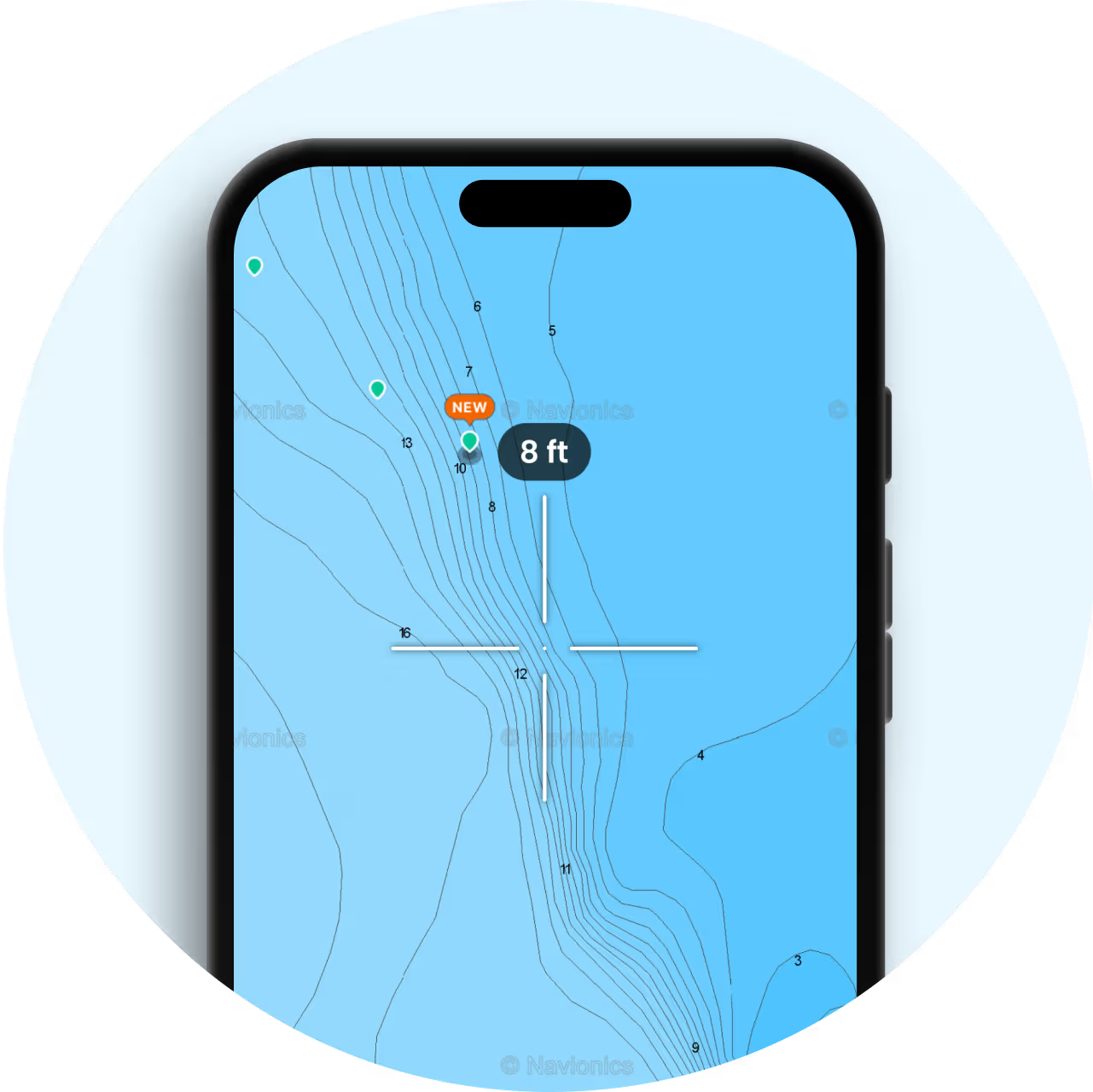
Find new fishing spots
Depth maps help you find prime fishing locations. Analyze the map for promising structures and depth changes.
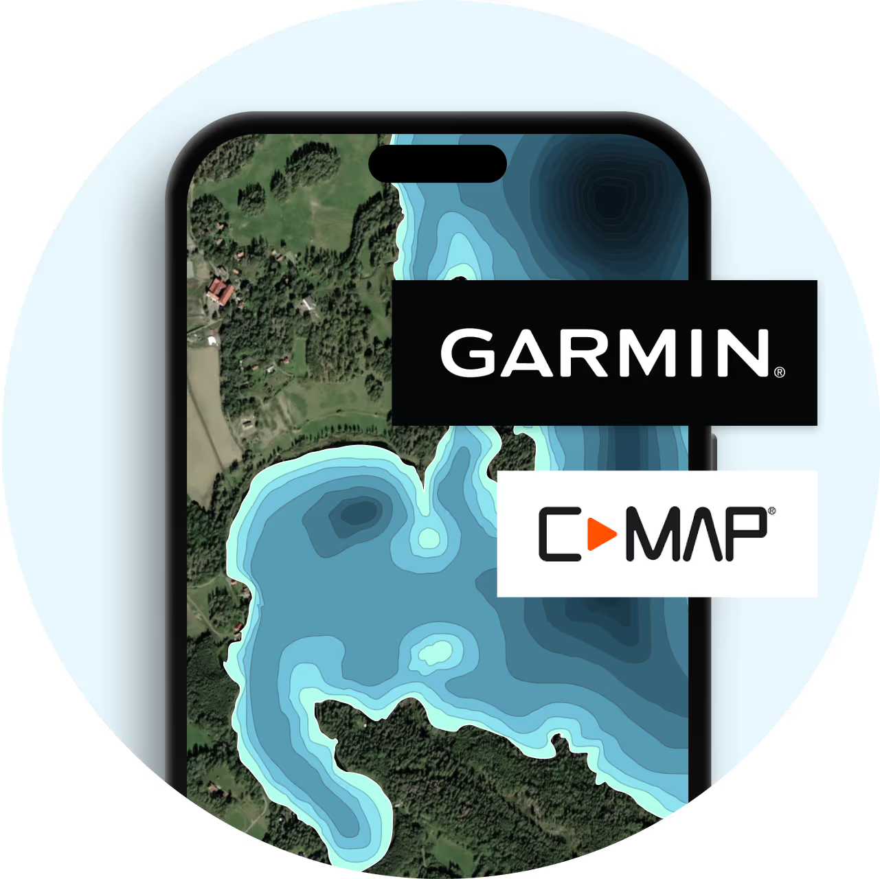
Optimize your fishing strategy
We have millions of lakes covered with depth maps from both Garmin® and C-maps. Depth maps help you strategize by showing where different fish are likely to be based on water depth and structures.
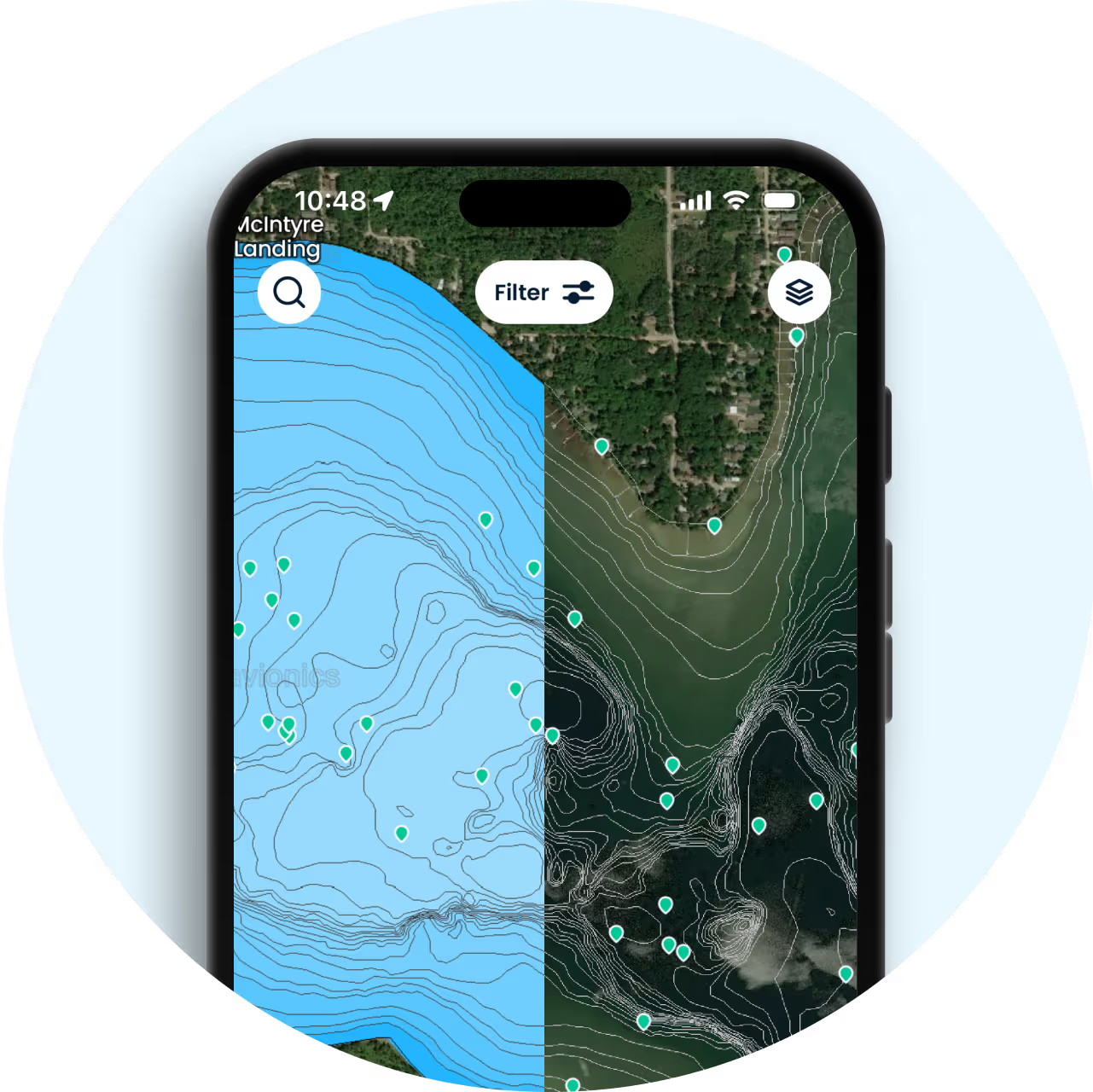
Contour lines for better fishing
Choose between transparent or Nautical mode. Close lines mean steep drop-offs; spaced lines show gradual changes, guiding you to the best spots for species like bass or walleye.
Depth maps FAQ
How can depth maps help me find productive structure like points, humps, and drop-offs?
Can depth maps help me find docks, timber, and other shoreline structure?
Yes — combine the depth layer with satellite imagery to spot shoreline structure like docks and submerged timber, then check for depth changes just offshore, where fish often stay near that same structure.
How do contour lines help with bass fishing specifically?
Contour lines reveal the depth changes and structure — points, ledges, drop-offs — that bass and other species typically hold near. Instead of guessing where the bottom changes, you can see it on the map and target that structure directly.
Can I identify creek channels and old reservoir structure with depth maps?
Yes — contour and depth-shading data make channel edges and old creek beds visible on reservoir maps, exactly the kind of structure that concentrates fish as water levels change through the season.
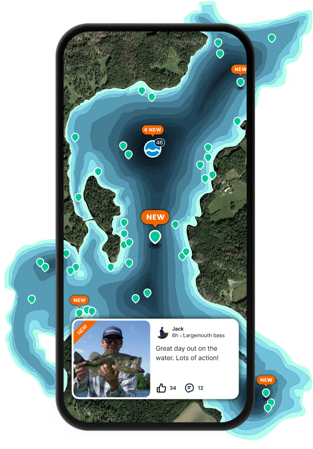
Download Fishbrain and fish smarter
Unlimited access to the best fishing spot finder in the game. Get all the fishing intel you need to start catching more, and bigger, fish.
Free trial available