
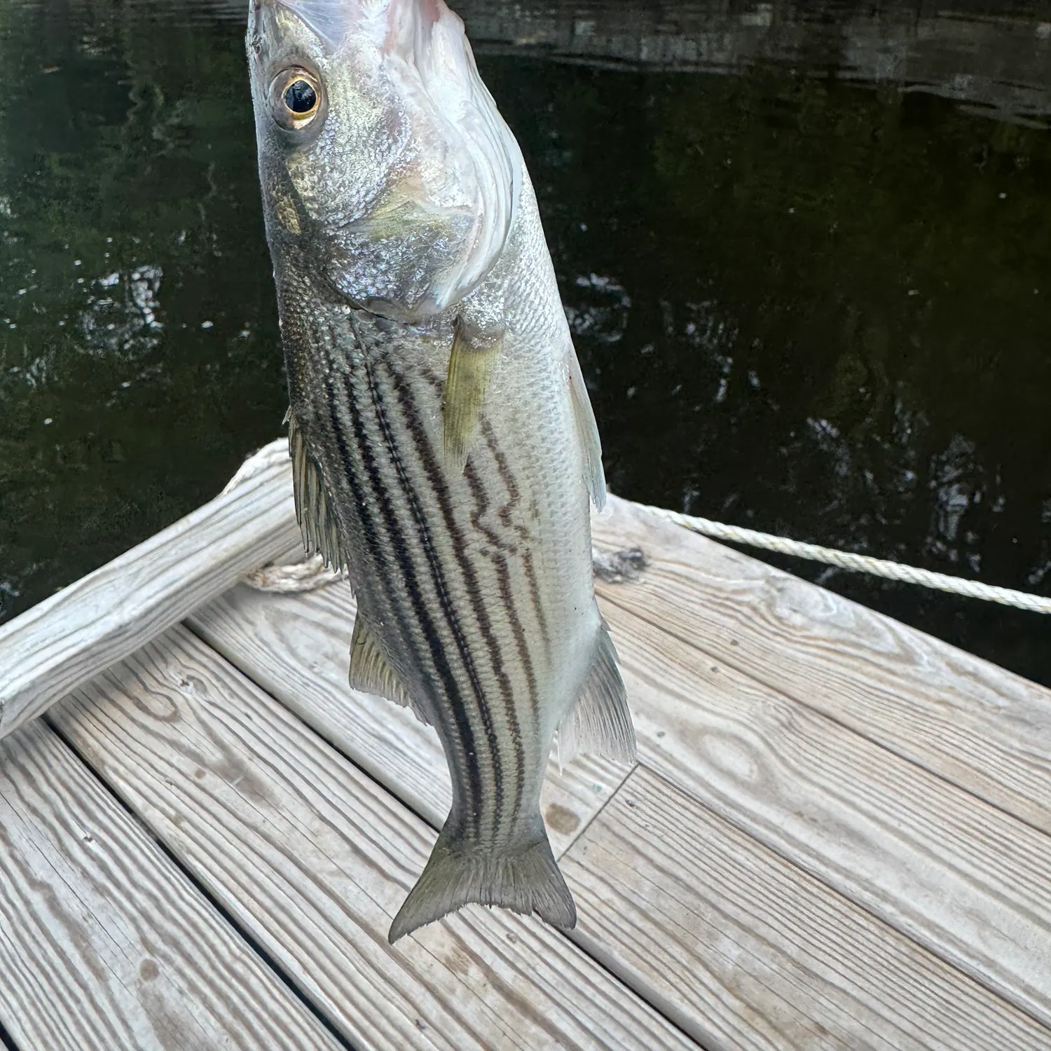
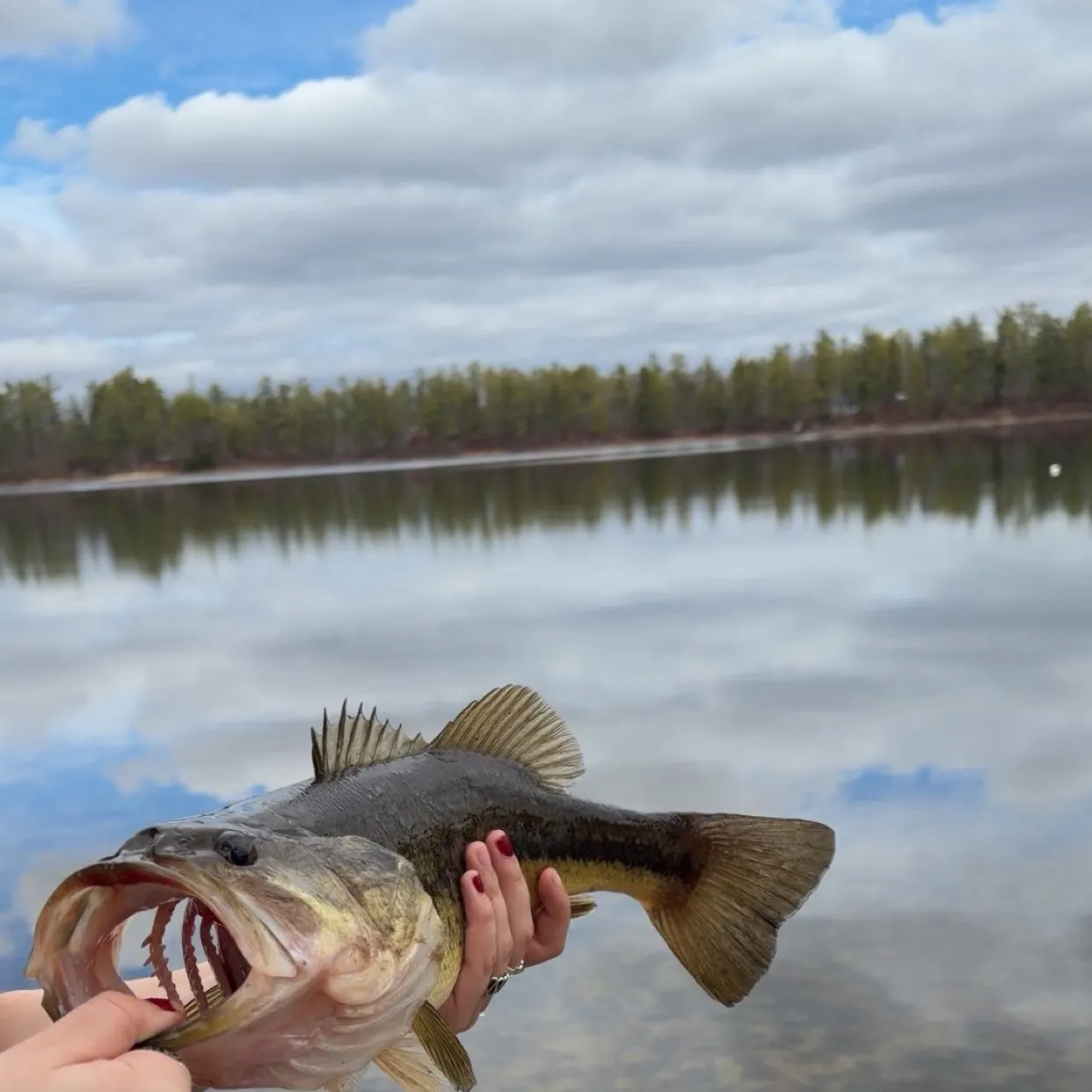
Top fish species at Merrymeeting Bay

Check which species have trophy potential in Merrymeeting Bay
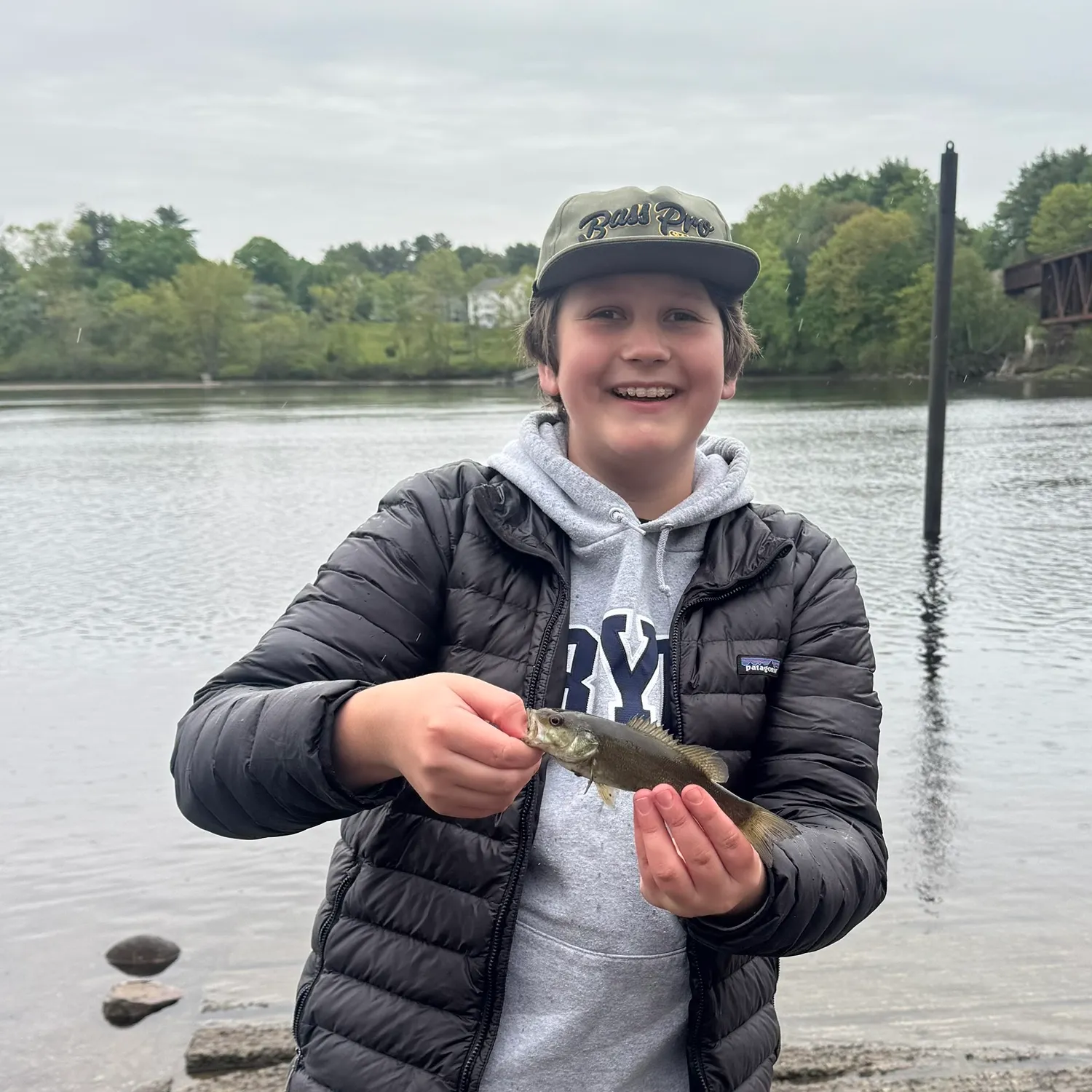
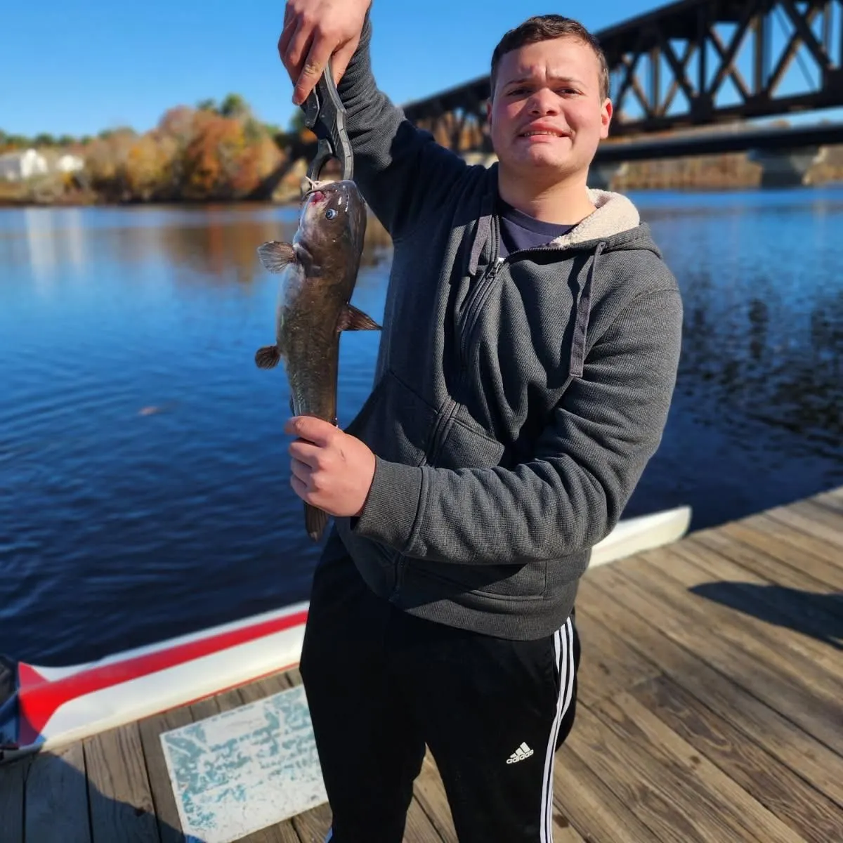
Merrymeeting Bay fishing reports


Continue browsing catches and catch locations in the Fishbrain app
When are Striped Bass biting on Merrymeeting Bay?
Learn what time of year and day to go fishing at Merrymeeting Bay. Download Fishbrain today to look for new fishing spots, scout new fishing access, or prep for your next trip.

Fishing regulations at Merrymeeting Bay, ME
Disclaimer: Always check local fishing regulations, water access rights and land ownership before fishing, regardless of any catches logged in that area by the Fishbrain community. Fishbrain has mapped millions of acres of government-owned land across the USA to help you identify potential fishing access, but you are responsible for ensuring compliance with all legal requirements.
Fishing regulations in Maine can change throughout the year. Make sure to check this page before fishing for the most up to date rules and regulations for the current season. Local regulations govern when you can fish, the max size of the fish you can keep, how many fish you can keep, and more.
Regulations for top species

Smallmouth bass
The maximum number of individual fish legally harvested per harvester per day. Bag limits are only for properly licensed anglers actively harvesting the species. People who are not actively harvesting or are not properly licensed (if a license is required) may NOT be counted for the purpose of bag limits.
The maximum number of individual fish across an aggregate group of species legally harvested per harvester per day.
The maximum number of trophy individuals legally harvested per harvester per day. A trophy is any individual of a length greater than the max size limit. Trophy individuals are included in the daily bag limit unless stated otherwise.
ME Illegal Fishing
Except as otherwise provided, it is unlawful to fish other than with a single baited hook and line, artificial flies or artificial lures and spinners. This does not apply to hook and line smelt fishing. All other rules and regulations governing the taking of smelt apply.Use of gaff is unlawful.Except as otherwise provided, it is unlawful to possess any grapnel, trawl, weir, seine, gill net, trap, set line or drop net on or adjacent to any of the inland waters of Maine. Except as otherwise provided, it is unlawful to fish with a grapnel, spear, spear gun, trawl, weir, gaff, seine, gill net, trap, or set lines. Unless otherwise provided by rule, the number of lines an angler may fish at any one time is limited to two lines while open water fishing and five lines while ice fishing. At no time may an angler fish with more than five lines.
ME Removal of Head and Tail
It is unlawful to alter the length of landlocked salmon, trout, togue, lake whitefish, and bass unless the fish are being prepared for immediate cooking. It is unlawful to possess or transport fish dressed in such a manner that the species of fish cannot be identified; unless the fish are being prepared for immediate cooking (smoking does not constitute cooking).
ME Snagging
It is unlawful to fish for any fish, except suckers, by snagging.
ME Explosives and Chemicals
It is unlawful to take or destroy any fish by use of an explosive, poisonous or stupefying substance.
ME Live Baitfish
In the North Zone: Use or possession of LIVE FISH as bait is PROHIBITED. The use of all other legal forms of bait (including worms and dead baitfish/smelts), artificial lures, and artificial flies is PERMITTED. In the South Zone: Use of all legal forms of bait (including live baitfish/smelts), artificial lures, and artificial flies is PERMITTED.
North Zone: no bag limit, no size limit
South Zone: bag limit = 2 bass; No minimum length. Only 1 bass may exceed 14-inches total length.
Rivers, streams, brooks:
- April 1 to August 15: Open to open water fishing.
- August 16 to September 30: Open to open water fishing using artificial lures or flies only.
- October 1 to March 31: Closed to all fishing.
Lakes and ponds North Zone:
- April 1 to September 30: Open to open water fishing.
- October 1 to March 31: Closed to all fishing.
Lakes and ponds South Zone
- January 1 to December 31: Open to ice and open water fishing.
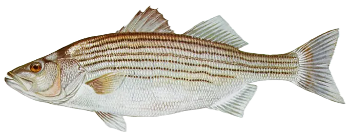
Striped bass
The maximum number of individual fish legally harvested per harvester per day. Bag limits are only for properly licensed anglers actively harvesting the species. People who are not actively harvesting or are not properly licensed (if a license is required) may NOT be counted for the purpose of bag limits.
No person shall harvest any individual fish less than the minimum size limit.
No person shall harvest any individual fish greater than the maximum size except as permitted.
Multiple Hooks
Harvest of this species by or with the use of any multiple hooks in conjunction with live or dead natural bait is prohibited.
NJ No Gaff
It is prohibited for any person to gaff striped bass when fishing recreationally.
Hook & Line Only
Allowable gear: hook and line.
Hook and line only, no gaffing of striped bass.
CATCH & RELEASE SEASON WITH SPECIAL GEAR RESTRICTIONS From May 1 through June 30, inclusive. Fishing in this area is restricted to single hooked* artificial lures only and use of or possession of marine bait, dead or alive, is prohibited. (* may be a single treble hook)
OPEN SEASON: July 1 through November 30, inclusive.
CLOSED SEASON: Striped bass fishing is prohibited from December 1 through June 30, inclusive (exception catch & release season with special gear restrictions).
For more information, see 2023 Maine Striped Bass Regulations.
The Kennebec watershed is defined as all coastal waters inside and upstream of a line drawn from the outer extremity of Cape Small, in Phippsburg, to the outer extremity of Salter Island, thence to the outer extremity of Cape Newagen, in Southport. This area includes the coastal waters of Popham Beach and the adjoining State Park, Reid State Park, and all riverine waters of the Kennebec, Sheepscot, and Androscoggin Rivers including all bays and tributaries of those rivers to the head of tide. Due to the removal of Edwards dam, the "head of tide" in the Kennebec River is now at the downstream side of the power line located approximately 4,200 feet upstream of the Calumet Bridge at Old Fort Western in Augusta (formerly the Father Curran Bridge) for enforcement purposes.

Largemouth bass
The maximum number of individual fish legally harvested per harvester per day. Bag limits are only for properly licensed anglers actively harvesting the species. People who are not actively harvesting or are not properly licensed (if a license is required) may NOT be counted for the purpose of bag limits.
The maximum number of individual fish across an aggregate group of species legally harvested per harvester per day.
The maximum number of trophy individuals legally harvested per harvester per day. A trophy is any individual of a length greater than the max size limit. Trophy individuals are included in the daily bag limit unless stated otherwise.
ME Illegal Fishing
Except as otherwise provided, it is unlawful to fish other than with a single baited hook and line, artificial flies or artificial lures and spinners. This does not apply to hook and line smelt fishing. All other rules and regulations governing the taking of smelt apply.Use of gaff is unlawful.Except as otherwise provided, it is unlawful to possess any grapnel, trawl, weir, seine, gill net, trap, set line or drop net on or adjacent to any of the inland waters of Maine. Except as otherwise provided, it is unlawful to fish with a grapnel, spear, spear gun, trawl, weir, gaff, seine, gill net, trap, or set lines. Unless otherwise provided by rule, the number of lines an angler may fish at any one time is limited to two lines while open water fishing and five lines while ice fishing. At no time may an angler fish with more than five lines.
ME Removal of Head and Tail
It is unlawful to alter the length of landlocked salmon, trout, togue, lake whitefish, and bass unless the fish are being prepared for immediate cooking. It is unlawful to possess or transport fish dressed in such a manner that the species of fish cannot be identified; unless the fish are being prepared for immediate cooking (smoking does not constitute cooking).
ME Snagging
It is unlawful to fish for any fish, except suckers, by snagging.
ME Explosives and Chemicals
It is unlawful to take or destroy any fish by use of an explosive, poisonous or stupefying substance.
ME Live Baitfish
In the North Zone: Use or possession of LIVE FISH as bait is PROHIBITED. The use of all other legal forms of bait (including worms and dead baitfish/smelts), artificial lures, and artificial flies is PERMITTED. In the South Zone: Use of all legal forms of bait (including live baitfish/smelts), artificial lures, and artificial flies is PERMITTED.
North Zone: no bag limit, no size limit
South Zone: bag limit = 2 bass; No minimum length. Only 1 bass may exceed 14-inches total length.
Rivers, streams, brooks:
- April 1 to August 15: Open to open water fishing.
- August 16 to September 30: Open to open water fishing using artificial lures or flies only.
- October 1 to March 31: Closed to all fishing.
Lakes and ponds North Zone:
- April 1 to September 30: Open to open water fishing.
- October 1 to March 31: Closed to all fishing.
Lakes and ponds South Zone
- January 1 to December 31: Open to ice and open water fishing.


Free trial available