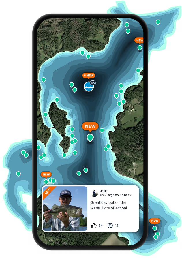
Map

Katama Bay

Fishing spots, fishing reports, and regulations in

Massachusetts, United States

4.3·184 catches

Top fish species at Katama Bay

App Section

Check which species have trophy potential in Katama Bay

Katama Bay fishing reports
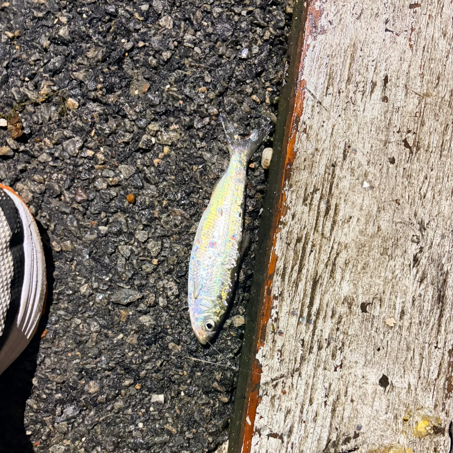
Loading...

American shad

length · weight

Loading...

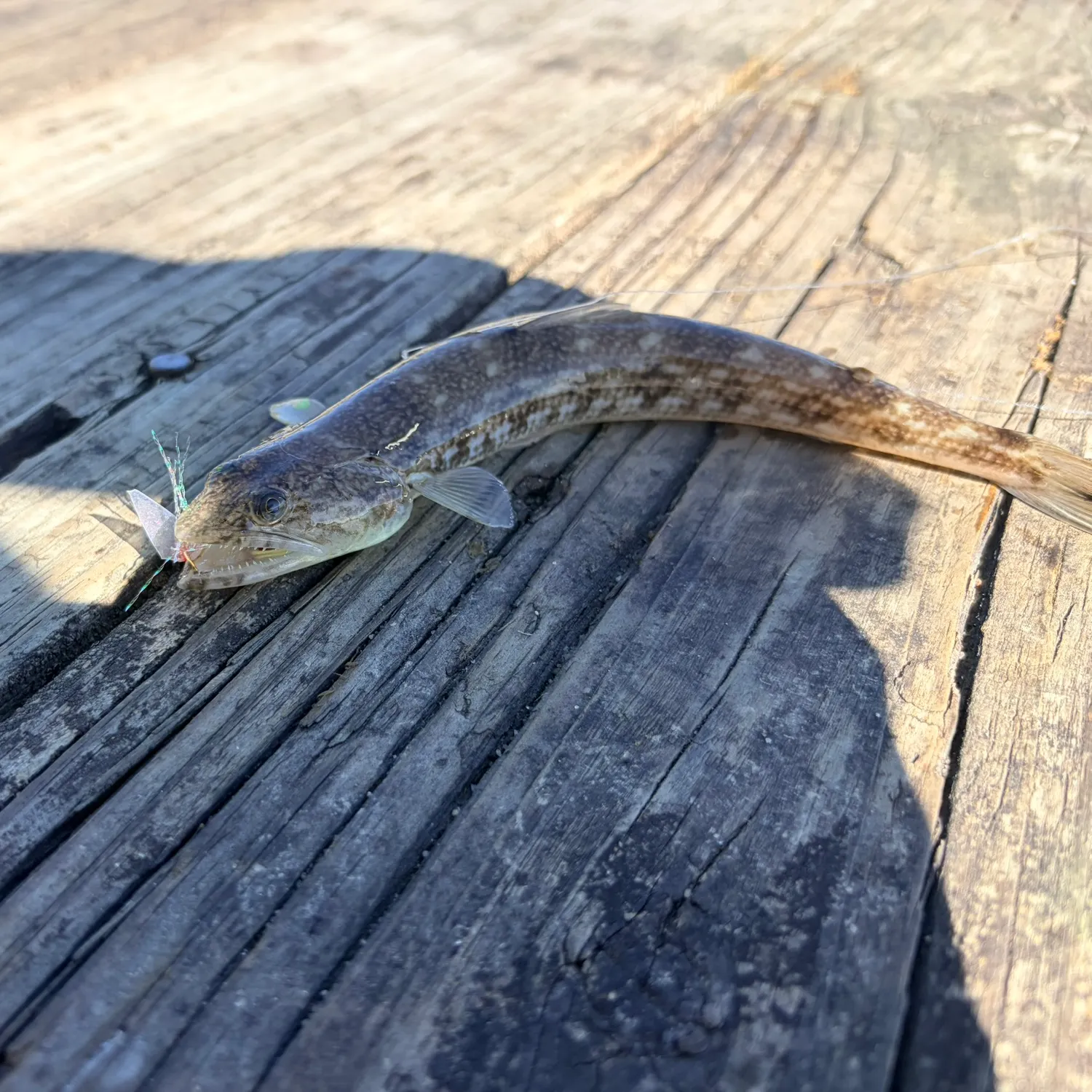
Inshore lizardfish

length · weight

Loading...

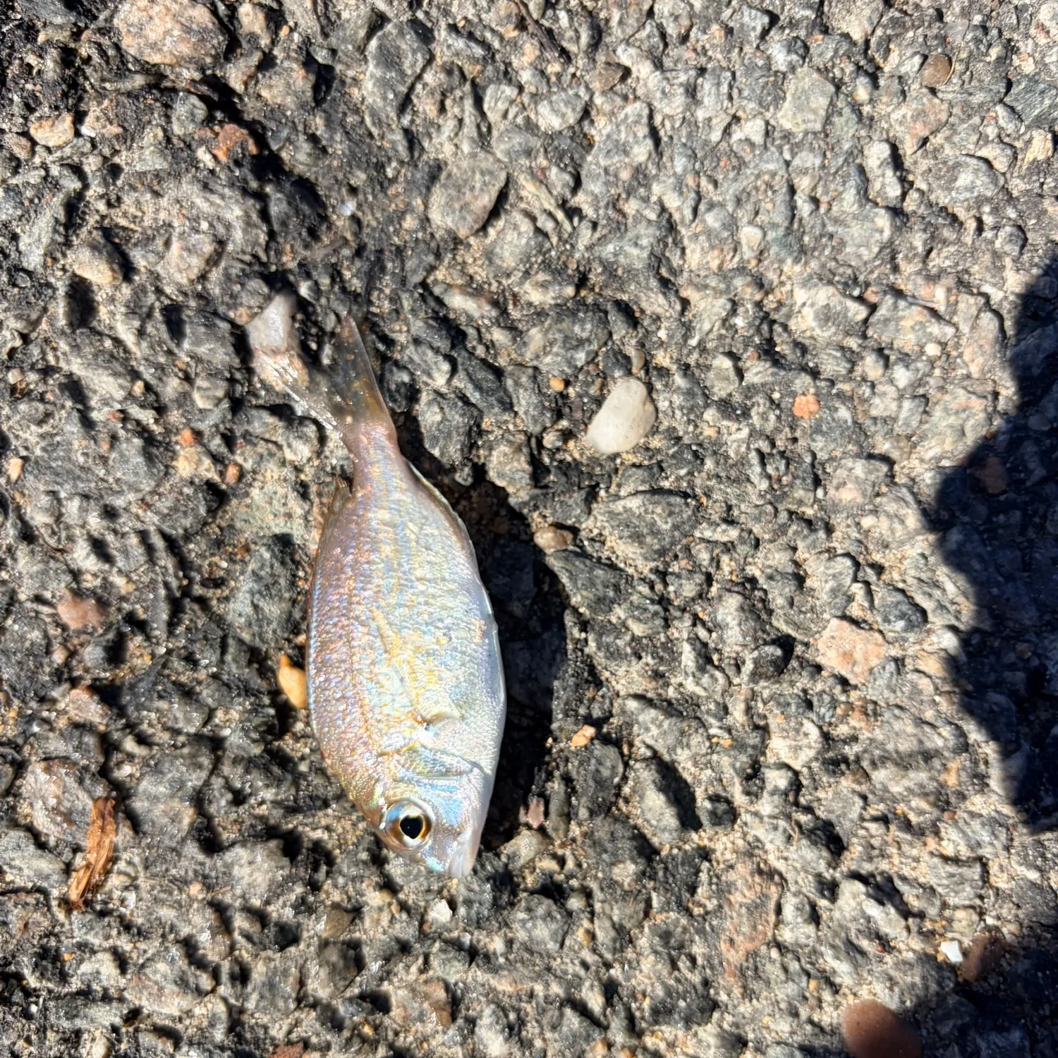
Scup

length · weight

Loading...

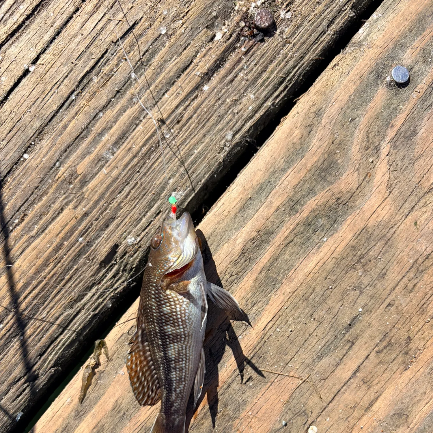
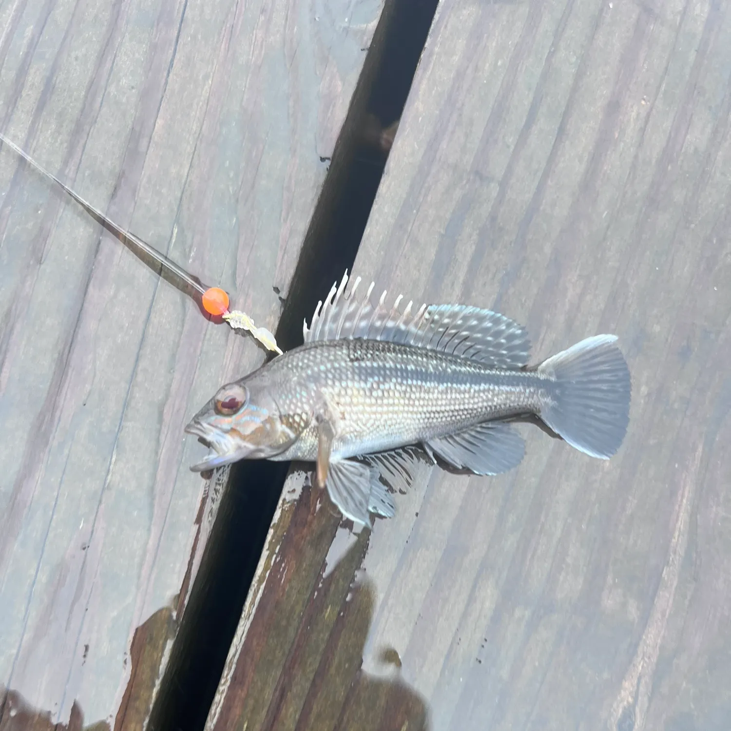
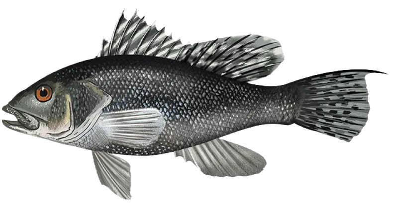
Black sea bass

length · weight

Loading...

Tautog

length · weight

Loading...

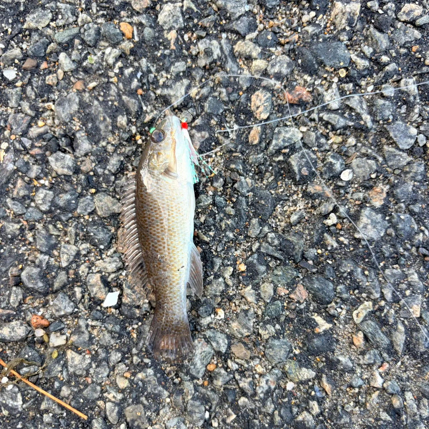
Black sea bass

length · weight

Fishbrain
More catches in the app...

Continue browsing catches and catch locations in the Fishbrain app

Loading...
Loading...
Loading...

General info

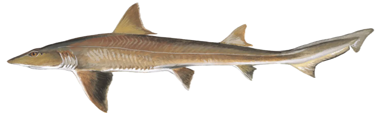
Katama Bay is a part of an ocean located in Dukes County, Massachusetts, United States. It is most popular for fishing Scup, Black sea bass, and Dusky smooth-hound.

Location

41°22′9.8″N 70°30′15.3″W
Directions

Amenities

Fishing regulations at Katama Bay, MA

Disclaimer: Always check local fishing regulations, water access rights and land ownership before fishing, regardless of any catches logged in that area by the Fishbrain community. Fishbrain has mapped millions of acres of government-owned land across the USA to help you identify potential fishing access, but you are responsible for ensuring compliance with all legal requirements.

Fishing regulations in Massachusetts can change throughout the year. Make sure to check this page before fishing for the most up to date rules and regulations for the current season. Local regulations govern when you can fish, the max size of the fish you can keep, how many fish you can keep, and more.

Regulations for top species

Season open: May 1 - December 31
Scup

Scup

Regulation boundaryMassachusetts State Waters
Bag limit30

The maximum number of individual fish legally harvested per harvester per day. Bag limits are only for properly licensed anglers actively harvesting the species. People who are not actively harvesting or are not properly licensed (if a license is required) may NOT be counted for the purpose of bag limits.

Min size9.5" (Total Length)

No person shall harvest any individual fish less than the minimum size limit.

Total length means the straight line distance from the most forward point of the head with the mouth closed, to the farthest tip of the tail with the tail compressed or squeezed, while the fish is lying on its side.

Vessel limit150

The maximum number of individual fish legally possessed aboard any vessel.

Additional information
Shore Angler: May 1 – December 31 possession Limit = 30 scup per person, Minimum size = 9.5-inches total lengthPrivate: May 1 – December 31 possession Limit = 30 scup per person, Minimum size = 11-inches total lengthFor-hire Vessel: May 1–June 30 possession Limit = 40 scup per person, Minimum size = 11-inches total lengthFor-hire Vessel: July 1 – December 31 possession Limit = 30 scup per person, Minimum size = 11-inches total length
Edibility
Very good
Synonyms
Stenotomus chrysops
Season closed: October 15 - May 15
Black sea bass

Black sea bass

Regulation boundaryMassachusetts State Waters
Bag limit4

The maximum number of individual fish legally harvested per harvester per day. Bag limits are only for properly licensed anglers actively harvesting the species. People who are not actively harvesting or are not properly licensed (if a license is required) may NOT be counted for the purpose of bag limits.

Min size16" (Total Length)

No person shall harvest any individual fish less than the minimum size limit.

Total length means the straight line distance from the most forward point of the head with the mouth closed, to the farthest tip of the tail with the tail compressed or squeezed, while the fish is lying on its side.

Additional information
Recreational rules (effective via emergency regulation filed April 3, 2026; intended to be finalized for 2026 and 2027 pending the May 28, 2026 MFAC vote):Open season: May 16 – October 14Minimum size: 16 inchesBag limit:4 fish/day from May 16 – August 312 fish/day from September 1 – October 14Measurement: tip of snout/jaw (mouth closed) to the farthest extremity of the tail, not including the tail filamentFilleting at sea: allowed, but not skinning; max 2 fillets per allowed fish
Edibility
Excellent according to Adam L.
Synonyms
Centropristis striata
Season open: year-round
Dusky smooth-hound

Dusky smooth-hound

Regulation boundaryHighly Migratory Species
Special gear

HMS Shark

No person issued an HMS Angling permit or an HMS Charter/Headboat permit under may possess a shark if the shark was taken from its management unit by any gear other than rod and reel or handline.

Restrictions & requirements

Gigging

Harvest by gigging prohibited.

Snagging

Harvest of this species by snagging (snatch hooking) is prohibited.

Spears

Harvest of this species by "spearing" is prohibited. Spearing includes the catching or taking of a fish by bow hunting, gigging, spearfishing, or by any device used to capture a fish by piercing the body.

Multiple Hooks

Harvest of this species by or with the use of any multiple hooks in conjunction with live or dead natural bait is prohibited.

Required licenses
Atlantic Highly Migratory Species Angling Permit with shark endorsement
Additional information
No retention limit. No minimum size. Smooth dogfish are 1 of only 3 ridgeback sharks that may be retained. Ridgeback sharks are sharks that have an interdorsal ridge, or visible line of raised skin, between their dorsal fins. Recreational shark anglers aboard federally permitted vessels are required to use non-offset, non stainless steel circle hooks in federal waters (3 – 200 miles offshore) when fishing with baited hooks. All sharks must be landed intact with the head, tail, and all fins naturally attached. The shark may be gutted and bled at sea (e.g., by making an incision at the base of the tail). Sharks harvested but not retained must be released in a manner that will ensure maximum probability of survival. Do NOT remove the fish from the water. Sharks can be difficult to ID. Remember: If you don't know, let it go. For help with shark identification, download the Recreational Atlantic HMS Shark ID Placard (http://www.nmfs.noaa.gov/sfa/hms/species/sharks/documents/shark_id_placard_532017_web.pdf) or the Prohibited Shark ID Placard (http://www.nmfs.noaa.gov/sfa/hms/species/sharks/documents/prohibited_shark_id_placard_5302017_web.pdf) All highly migratory species require an HMS Angling Permit from NOAA Fisheries. Permits are available by calling 1-888-872-8862, or by visiting hmspermits.noaa.gov. No sale permitted for HMS species caught under an HMS Angling Permit. For complete HMS regulations contact NOAA Fisheries HMS Management Division at 1-301-427-8503 or visit www.fisheries.noaa.gov/topic/atlantic-highly-migratory-species
Synonyms
Dusky smoothhound, Mustelus canis
License Icon
Local laws and licenses

Massachusetts fishing license

Get license

Reviews of Katama Bay

4.3
Loading...

3 ratings

5
4
3
2
1
Top reviews

Cities nearby

Oak Bluffs

6.7 miles away

Vineyard Haven

8.1 miles away

Seconsett Island

13.6 miles away

Woods Hole

13.8 miles away

New Seabury

13.8 miles away

Monomoscoy Island

13.9 miles away

Teaticket

14.0 miles away

East Falmouth

14.2 miles away

Popponesset

14.3 miles away

Seabrook

14.8 miles away

Popponesset Island

15.1 miles away

Falmouth

16.0 miles away

Mashpee Neck

16.9 miles away

Mashpee

17.2 miles away

West Falmouth

17.4 miles away

North Falmouth

19.7 miles away

Forestdale

21.8 miles away

Barnstable

22.2 miles away

Pocasset

22.8 miles away

Sandwich

23.8 miles away

Monument Beach

24.7 miles away

Bourne

24.8 miles away

Mattapoisett Center

25.8 miles away

Marion Center

26.7 miles away

Anything missing or inaccurate?

Suggest changes to improve what we show.

Suggest changes

FAQ about Katama Bay fishing

📍 Where is Katama Bay located?
Katama Bay is a part of an ocean located in Dukes County, Massachusetts, United States. Its coordinates are:
41°22′9.8″N 70°30′15.3″W
.
🎣 Where on Katama Bay is it best to fish?
Find the best fishing spots on Katama Bay by looking at where other anglers have caught fish. This can easily be done in the where it is also possible to see big fish potential and how good fishing is right now along with Garmin® depth maps.
🐟 What species are in Katama Bay?
The most common species in Katama Bay are:
📢 What are the latest Katama Bay fishing reports?
The latest Katama Bay fishing reports are:
🗓️ What species are in season at Katama Bay right now?
According to fishing regulations at Katama Bay, some of the species in season this October include: Tautog, Atlantic bluefin tuna, Scup, Winter flounder, and Atlantic rainbow smelt. For full details on other species — including bag limits, minimum and maximum size limits, and seasonal closures — download the .
🪪 Do I need a fishing license to fish at Katama Bay?

Fishing in Massachusetts requires a valid state fishing license for anglers. Licenses include resident and non-resident, annual and short-term options, available online or at licensed agents.

In Massachusetts, no fishing license is required for anglers under 15 or residents 65 and older. A few other exceptions worth knowing:

  • Free fishing days — most states designate 1–2 weekends a year where anyone can fish without a license

  • Tribal waters — tribal members fishing on tribal land operate under separate tribal regulations

  • Private ponds — landowners fishing their own water typically don't need a license

Non-residents usually pay more for a license than residents. Some species also require an extra stamp or endorsement on top of your base license.

Get license
App Section
Download Fishbrain and fish smarter
Unlimited access to the best fishing spot finder in the game. Get all the fishing intel you need to start catching more, and bigger, fish.

Free trial available

Loading...
Loading...
Loading...
Loading...