Map

Fishing spots, fishing reports, and regulations in

Hurricane Pass

Florida, United States

4.5Β·101 catches

Top fish species at Hurricane Pass

Hurricane Pass fishing reports

fish catches icon
recently logged catches
Loading...

length Β· weight

fish catches icon
recently logged catches
Loading...

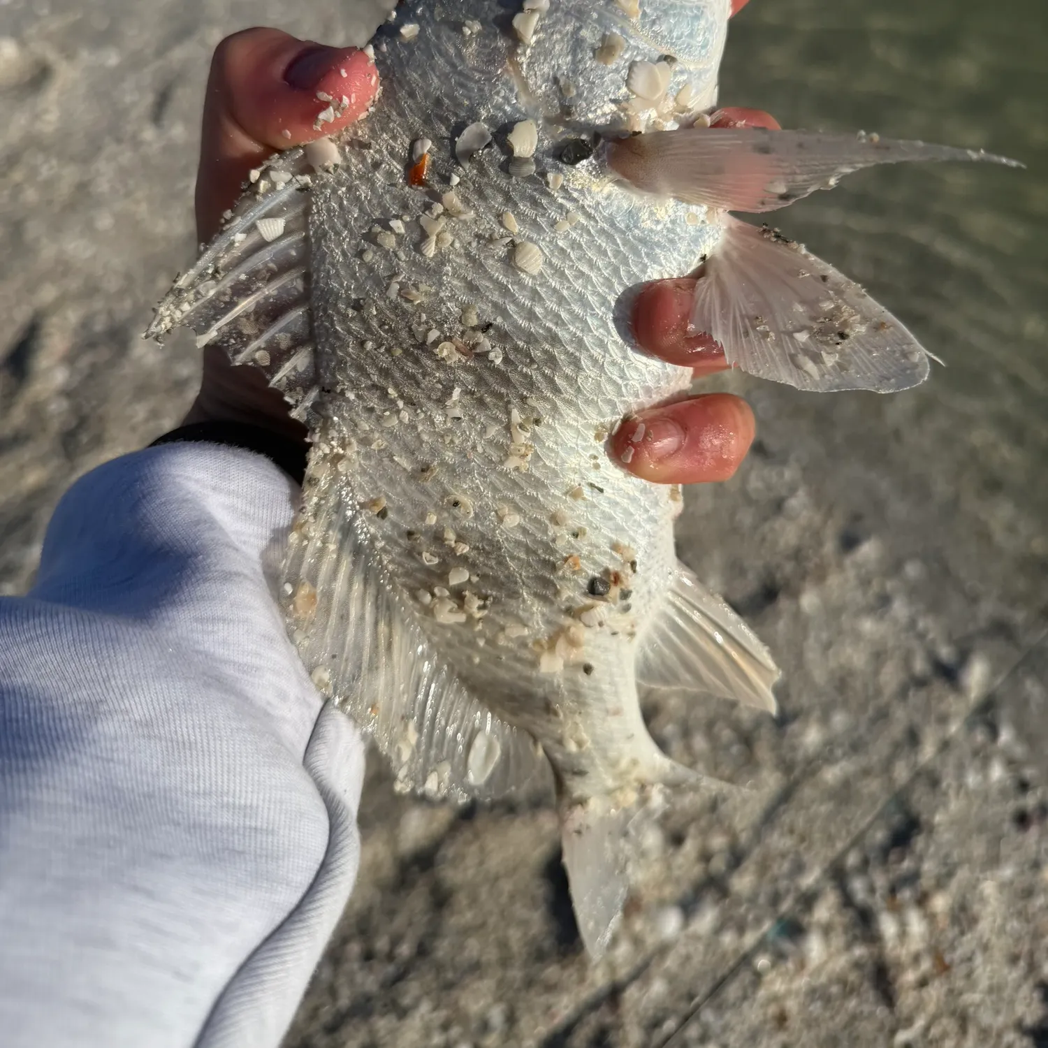
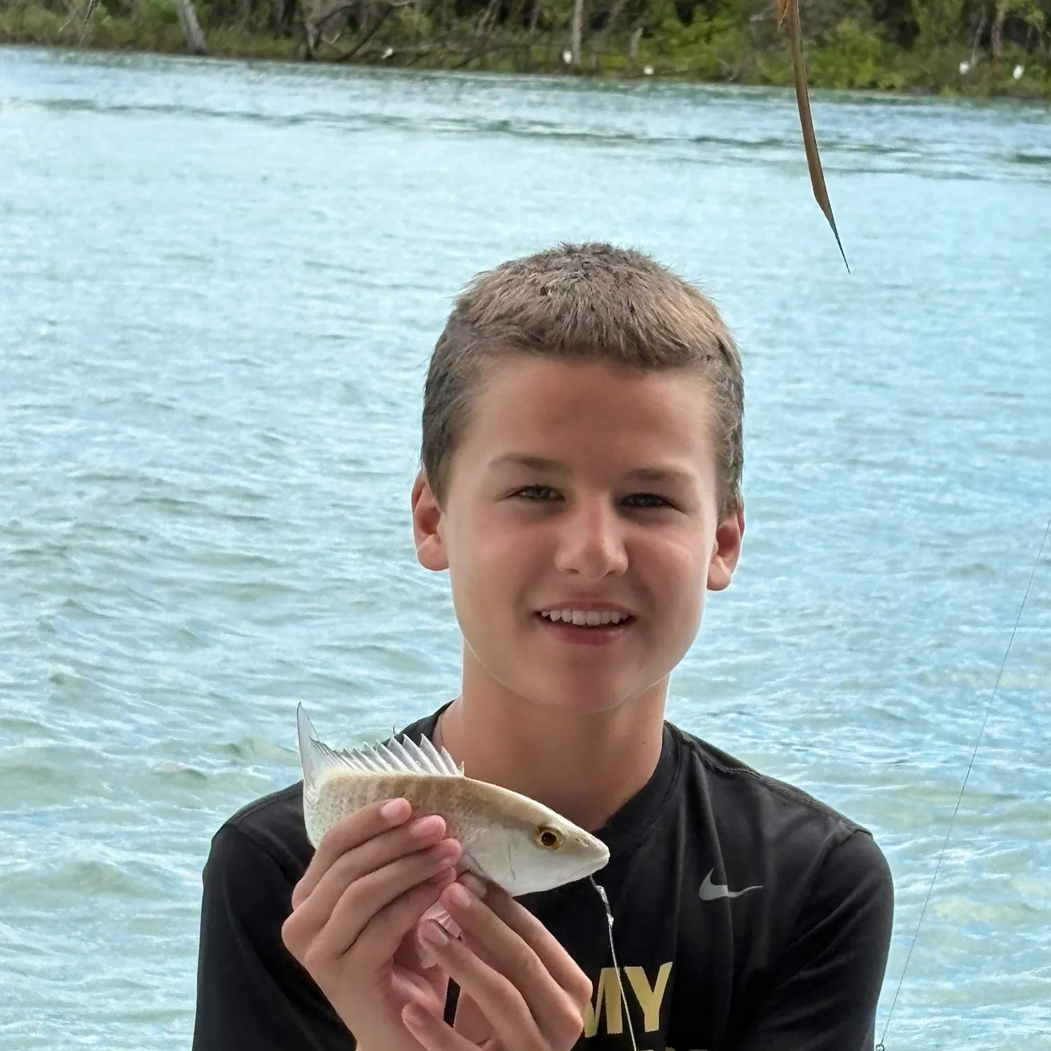
Southern pompano

13 in Β· 3 lb 3 oz

fish catches icon
recently logged catches
Loading...

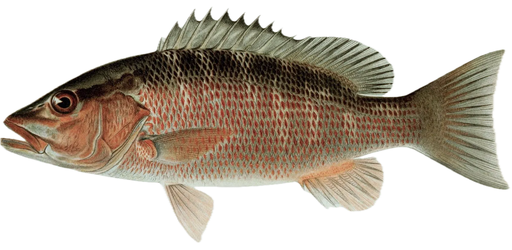
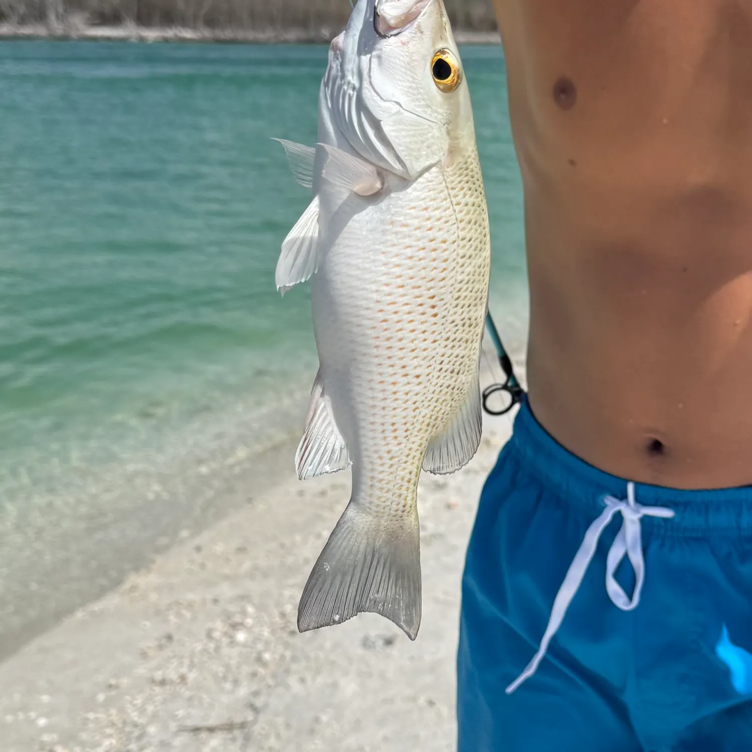
Mangrove snapper

length Β· weight

fish catches icon
recently logged catches
Loading...

Mangrove snapper

length Β· weight

fish catches icon
recently logged catches
Loading...

Hardhead sea catfish

length Β· weight

fish catches icon
recently logged catches
Loading...

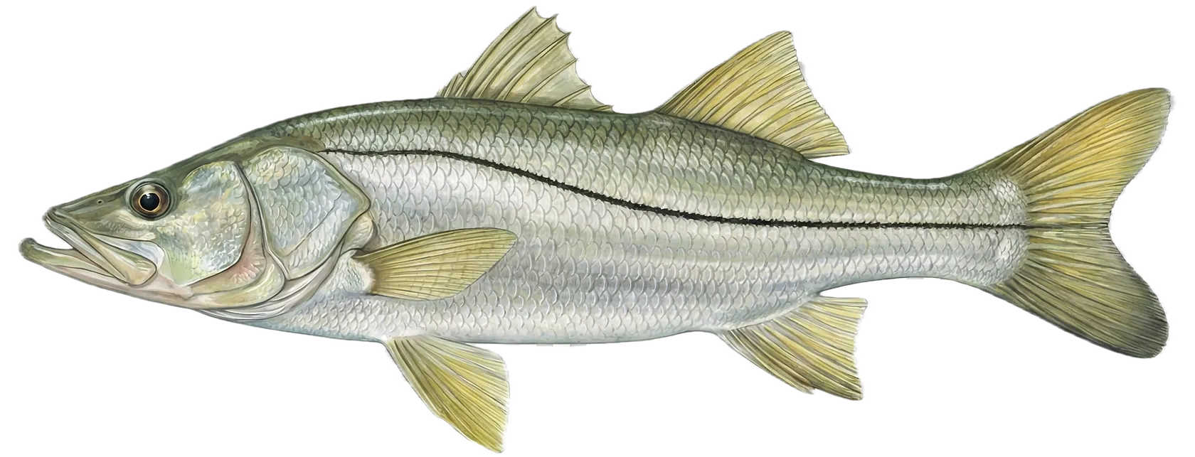
Common snook

length Β· weight

fish catches icon
recently logged catches
Loading...

Common snook

length Β· weight

fish catches icon
recently logged catches
Loading...

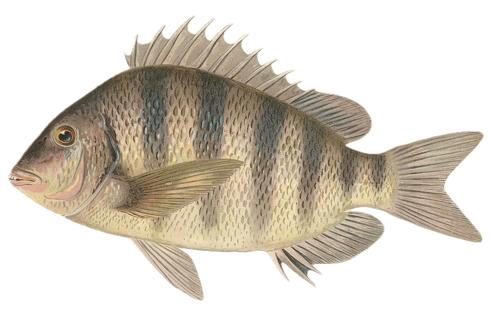
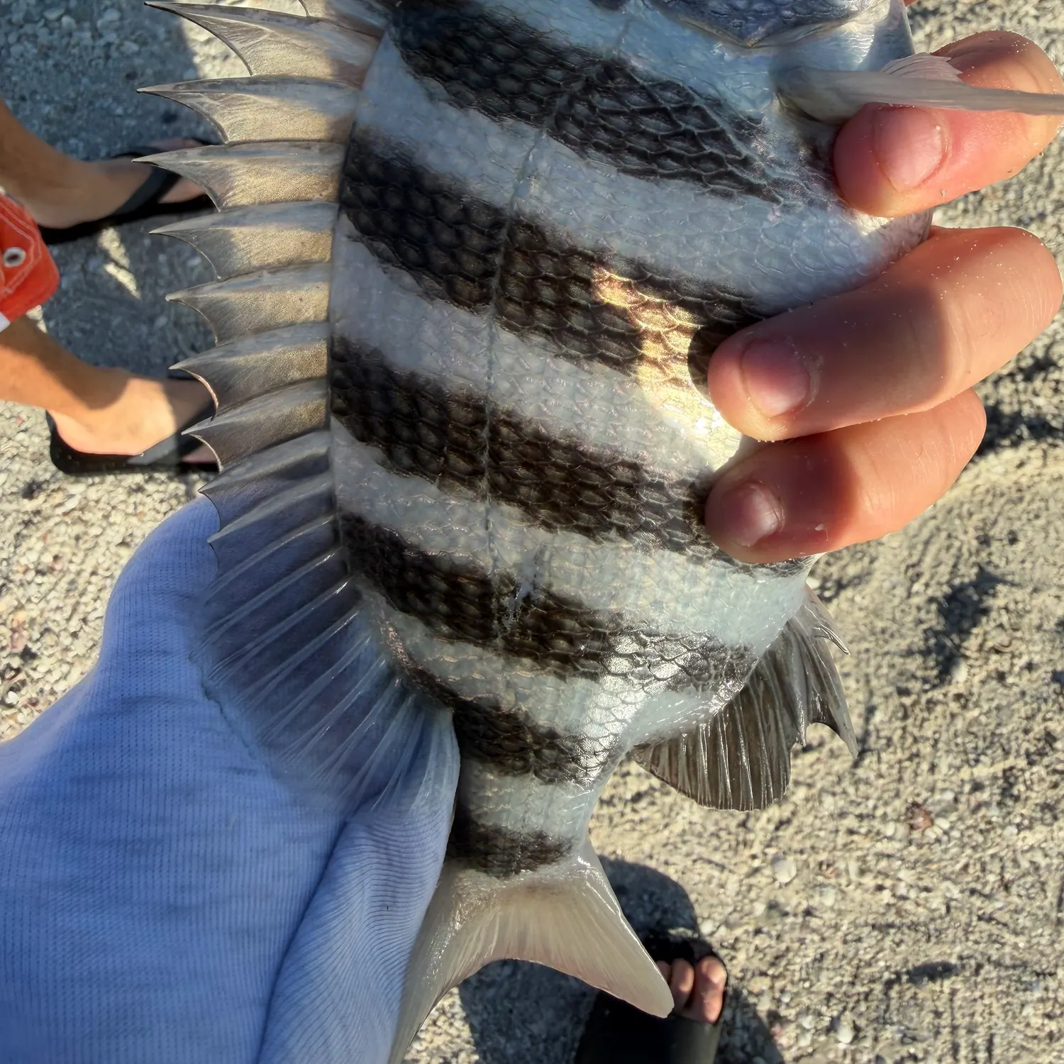
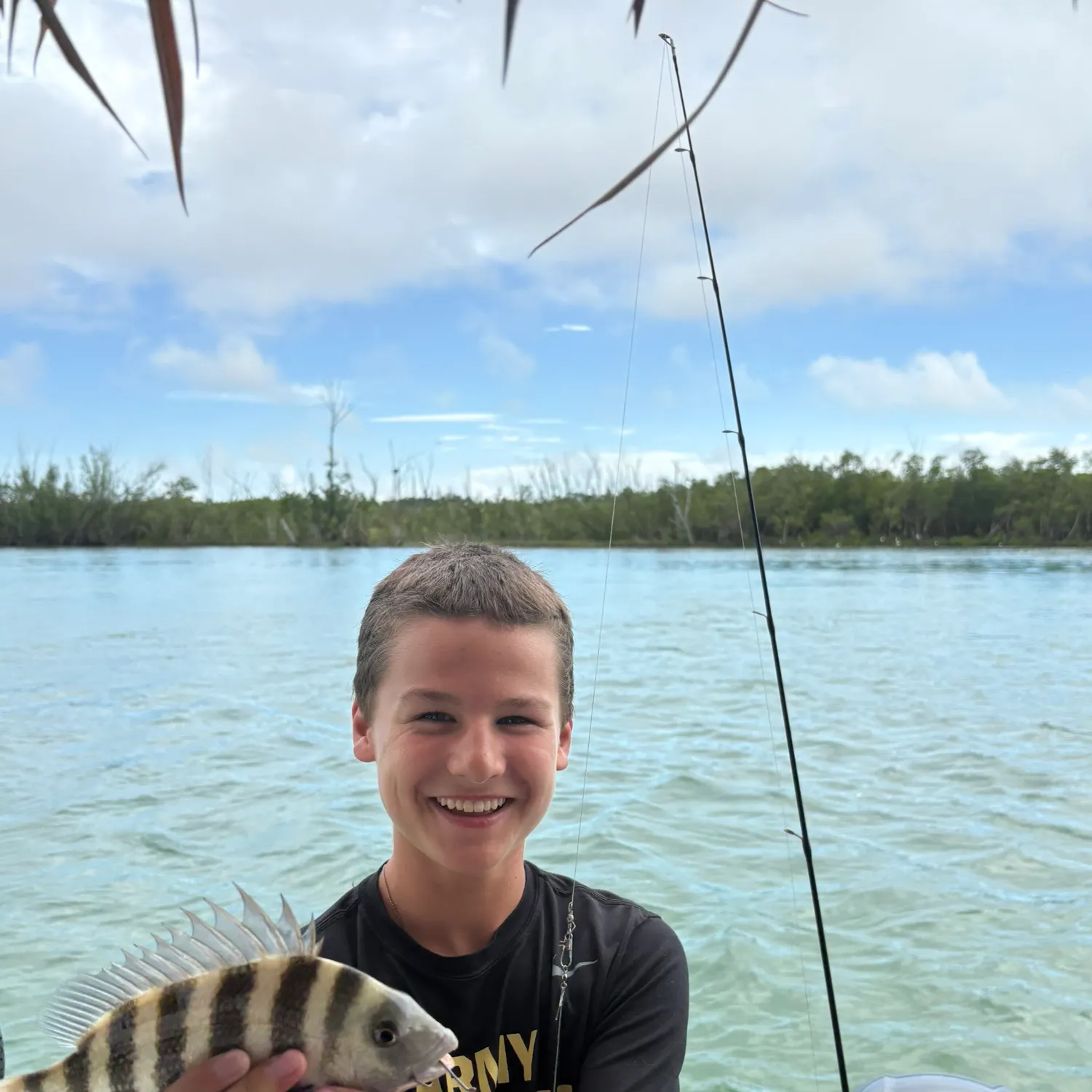
Sheepshead

length Β· weight

fish catches icon
recently logged catches
Loading...

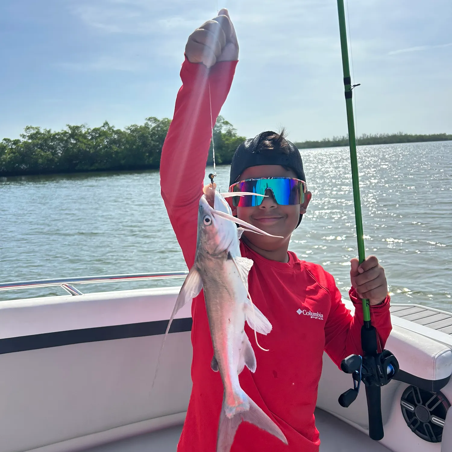
Gafftopsail sea catfish

length Β· weight

fish catches icon
recently logged catches
Loading...

Gafftopsail sea catfish

length Β· weight

Fishbrain
More catches in the app...

Continue browsing catches and catch locations in the Fishbrain app

Loading...
Loading...
Loading...

General info

Hurricane Pass is a part of an ocean located in Florida, United States. It is most popular for fishing Common snook, Sheepshead, and Gafftopsail sea catfish.

Avatar of Fishbrain user

barrett-webb +66 others fish here

Location

25Β°59β€²22.3β€³N 81Β°44β€²55.2β€³W
Directions

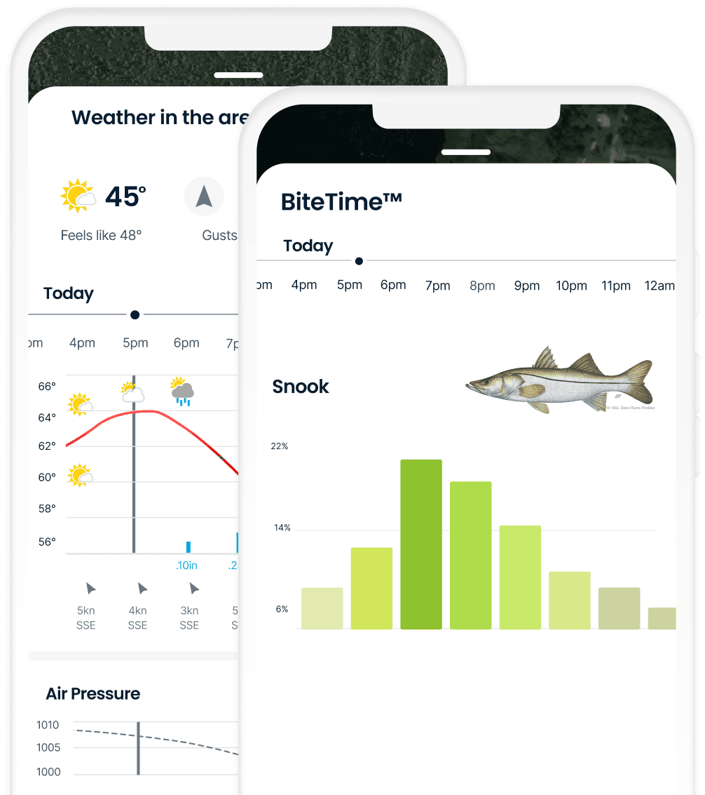
When is the Snook biting in Hurricane Pass?

Learn what hours to go fishing at Hurricane Pass. Download the app today and get started looking for fishing spots, prepare for your next fishing trip, and try out our BiteTimeβ„’ feature, explore fishing spots, and save relevant baits to prepare for your next fishing trip.

Bite time image

Fishing regulations at Hurricane Pass, FL

Loading boundaries...
License Icon
Local laws and licenses

Florida fishing license

Get license

Reviews of Hurricane Pass

4.5
Loading...

6 ratings

5
4
3
2
1
Top reviews

Cities nearby

Marco Island

5.0 miles away

Naples

11.5 miles away

Golden Gate

13.8 miles away

Bonita Springs

25.4 miles away

Estero

30.4 miles away

San Carlos Park

33.9 miles away

Immokalee

36.2 miles away

Iona

38.7 miles away

Cypress Lake

39.1 miles away

Villas

39.4 miles away

Lehigh Acres

43.5 miles away

Fort Myers

43.8 miles away

Cape Coral

47.8 miles away

North Fort Myers

51.1 miles away

LaBelle

53.9 miles away

Punta Gorda

65.2 miles away

Clewiston

72.7 miles away

Port Charlotte

72.8 miles away

Englewood

76.8 miles away

Weston

83.7 miles away

Kendall West

83.7 miles away

The Hammocks

83.8 miles away

Tamiami

85.3 miles away

Country Walk

85.3 miles away

Anything missing or inaccurate?

Suggest changes to improve what we show.

Suggest changes

FAQ about Hurricane Pass fishing

Hurricane Pass is a part of an ocean located in Florida, United States. Its coordinates are:
25Β°59β€²22.3β€³N 81Β°44β€²55.2β€³W
.
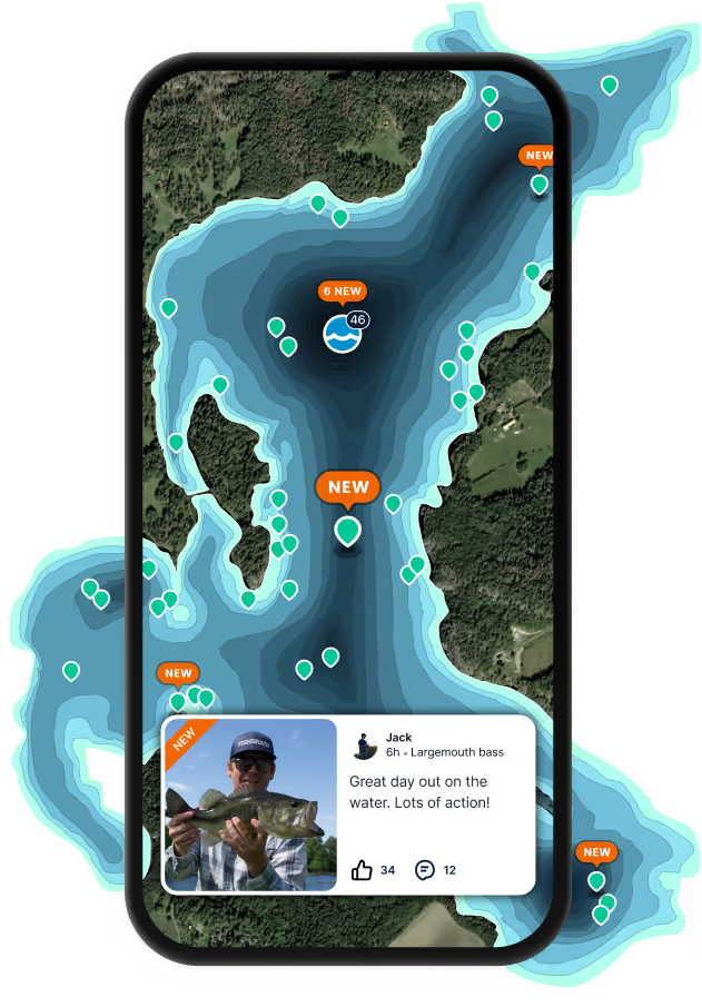
Find the best fishing spots on Hurricane Pass by looking at where other anglers have caught fish. This can easily be done in the where it is also possible to see big fish potential and how good fishing is right now along with Navionics depth maps.
The most common species in Hurricane Pass are:
The latest Hurricane Pass fishing reports are:
App Section
Download Fishbrain and fish smarter
Unlimited access to the best fishing spot finder in the game. Get all the fishing intel you need to start catching more, and bigger, fish.

Free trial available
Loading...
Loading...
Loading...
Loading...