
Top fish species at Dry Fork Branch

Check which species have trophy potential in Dry Fork Branch
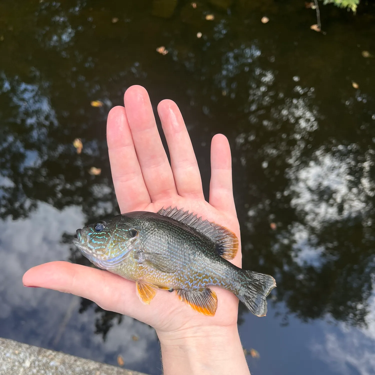
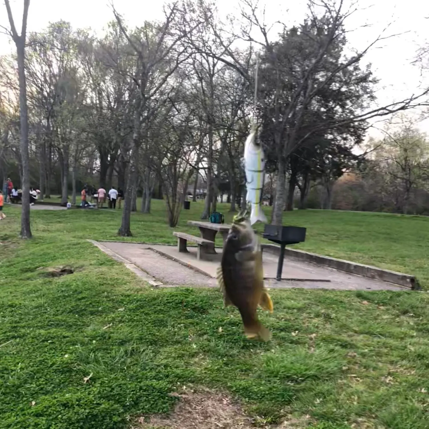
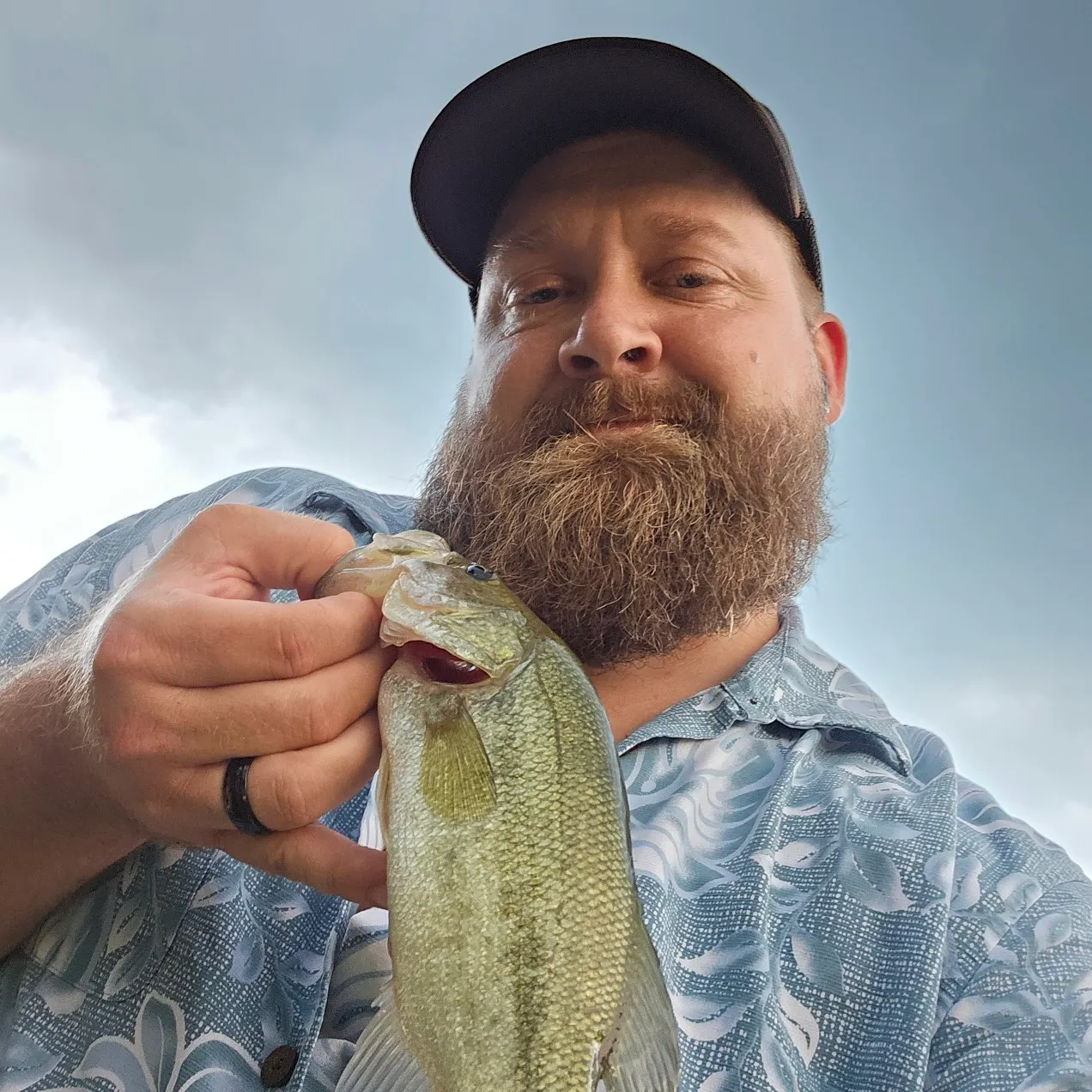
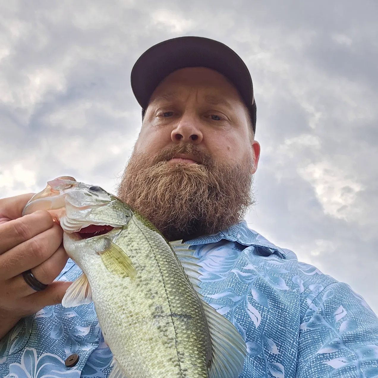
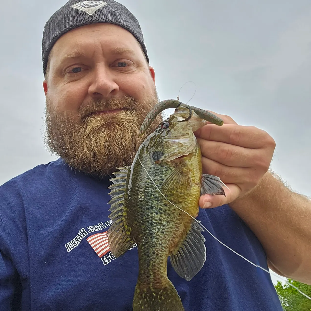
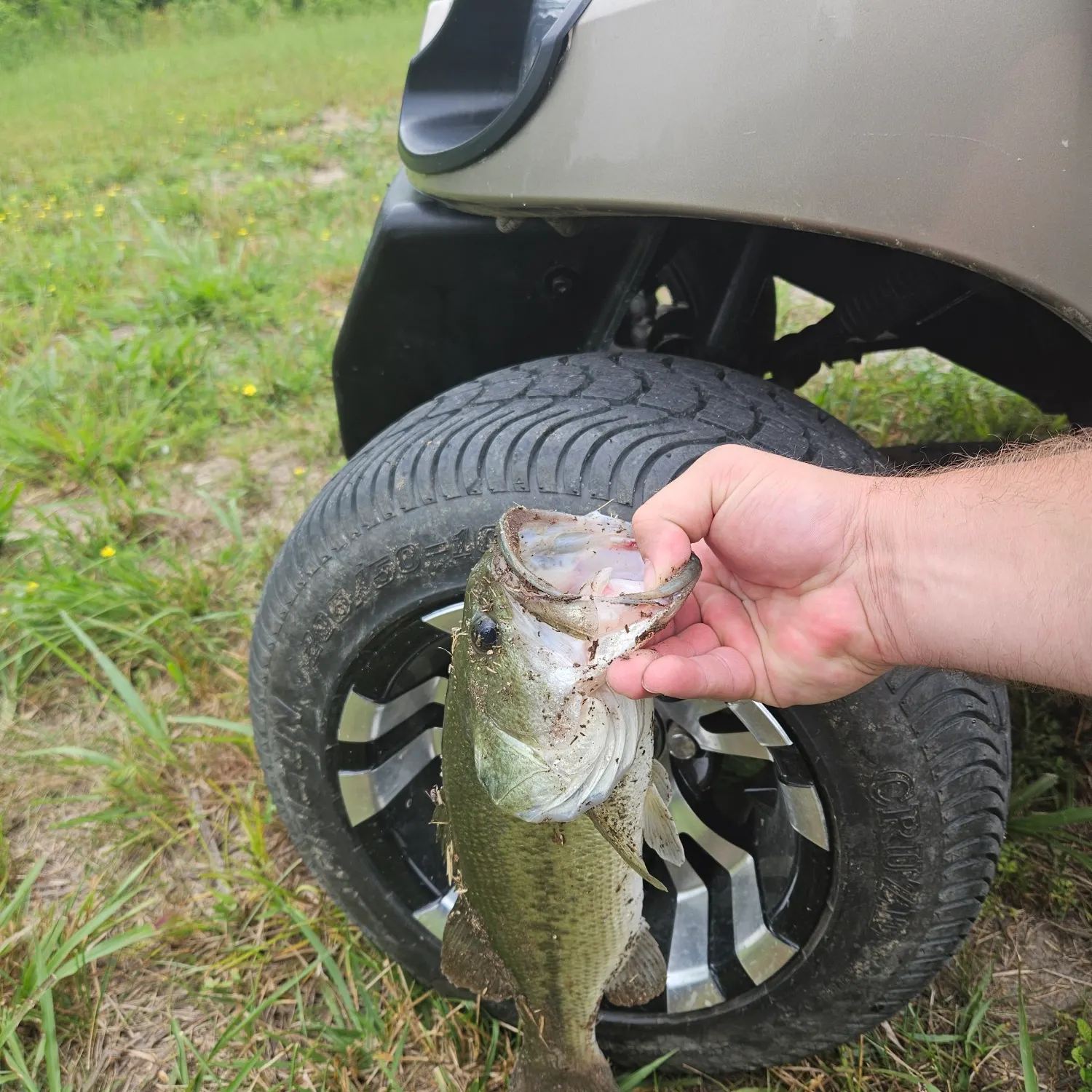
Dry Fork Branch fishing reports
length · weight

Continue browsing catches and catch locations in the Fishbrain app
When are Largemouth Bass biting on Dry Fork Branch?
Learn what time of year and day to go fishing at Dry Fork Branch. Download Fishbrain today to look for new fishing spots, scout new fishing access, or prep for your next trip.

Fishing regulations at Dry Fork Branch, TN
Disclaimer: Always check local fishing regulations, water access rights and land ownership before fishing, regardless of any catches logged in that area by the Fishbrain community. Fishbrain has mapped millions of acres of government-owned land across the USA to help you identify potential fishing access, but you are responsible for ensuring compliance with all legal requirements.
Fishing regulations in Tennessee can change throughout the year. Make sure to check this page before fishing for the most up to date rules and regulations for the current season. Local regulations govern when you can fish, the max size of the fish you can keep, how many fish you can keep, and more.
Regulations for top species

Largemouth bass
Bag limit5
The maximum number of individual fish legally harvested per harvester per day. Bag limits are only for properly licensed anglers actively harvesting the species. People who are not actively harvesting or are not properly licensed (if a license is required) may NOT be counted for the purpose of bag limits.
Aggregate limit5
The maximum number of individual fish across an aggregate group of species legally harvested per harvester per day.
Restrictions & requirements
Gigging
Harvest by gigging prohibited.
Snagging
Harvest of this species by snagging (snatch hooking) is prohibited.
Spears
Harvest of this species by "spearing" is prohibited. Spearing includes the catching or taking of a fish by bow hunting, gigging, spearfishing, or by any device used to capture a fish by piercing the body.
Bow Fishing
Harvest of this species by bow fishing is prohibited.
TN Hook Restriction
Anglers in Tennessee are restricted to a maximum of 3 hooks per rod, pole, or hand-held line. Single, double, or treble hooks each count as one hook. The statewide hook restriction does not apply when using a sabiki rig or piscatore rig to take shad or herring.
Required licenses
Additional information
Edibility
Synonyms
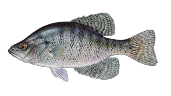
White crappie
Bag limit15
The maximum number of individual fish legally harvested per harvester per day. Bag limits are only for properly licensed anglers actively harvesting the species. People who are not actively harvesting or are not properly licensed (if a license is required) may NOT be counted for the purpose of bag limits.
Min size10" (Total Length)
No person shall harvest any individual fish less than the minimum size limit.
Total length means the straight line distance from the most forward point of the head with the mouth closed, to the farthest tip of the tail with the tail compressed or squeezed, while the fish is lying on its side.
Aggregate limit15
The maximum number of individual fish across an aggregate group of species legally harvested per harvester per day.
Restrictions & requirements
Gigging
Harvest by gigging prohibited.
Snagging
Harvest of this species by snagging (snatch hooking) is prohibited.
Spears
Harvest of this species by "spearing" is prohibited. Spearing includes the catching or taking of a fish by bow hunting, gigging, spearfishing, or by any device used to capture a fish by piercing the body.
Bow Fishing
Harvest of this species by bow fishing is prohibited.
TN Hook Restriction
Anglers in Tennessee are restricted to a maximum of 3 hooks per rod, pole, or hand-held line. Single, double, or treble hooks each count as one hook. The statewide hook restriction does not apply when using a sabiki rig or piscatore rig to take shad or herring.
Required licenses
Additional information
Edibility
Synonyms
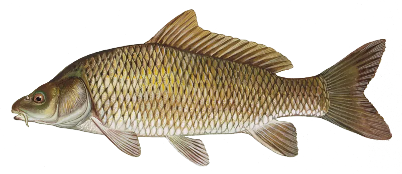
Common carp
Restrictions & requirements
TN Hook Restriction
Anglers in Tennessee are restricted to a maximum of 3 hooks per rod, pole, or hand-held line. Single, double, or treble hooks each count as one hook. The statewide hook restriction does not apply when using a sabiki rig or piscatore rig to take shad or herring.
Required licenses
Additional information
Edibility
Synonyms


Free trial available