
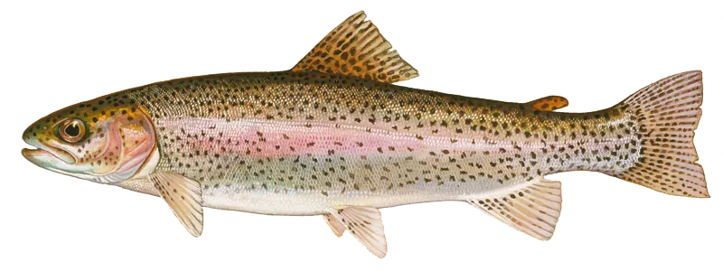
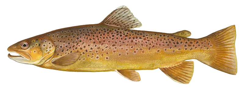
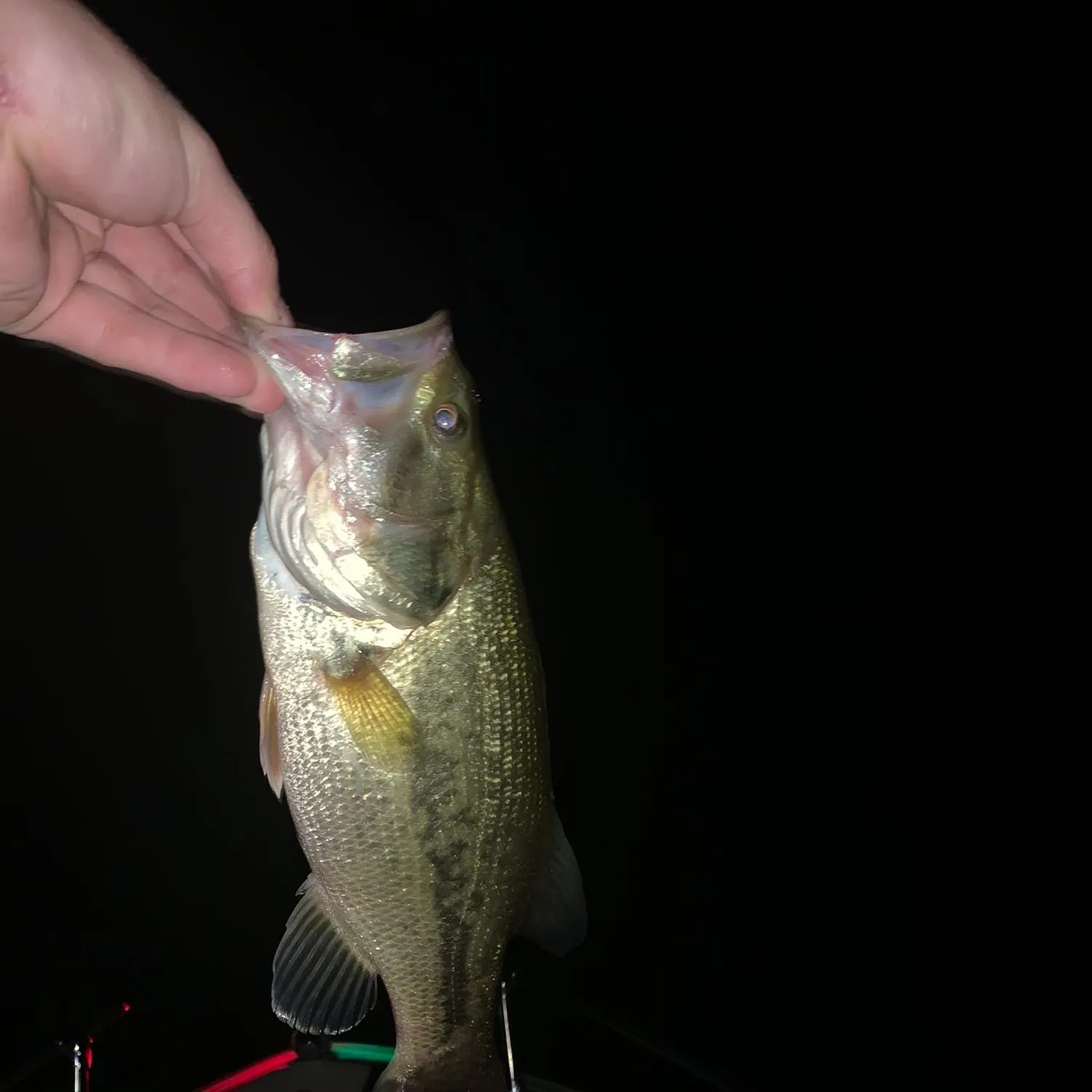
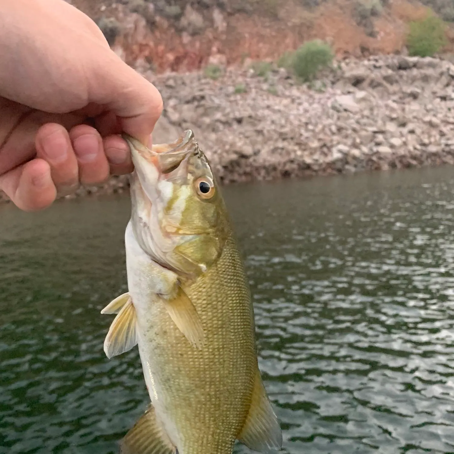
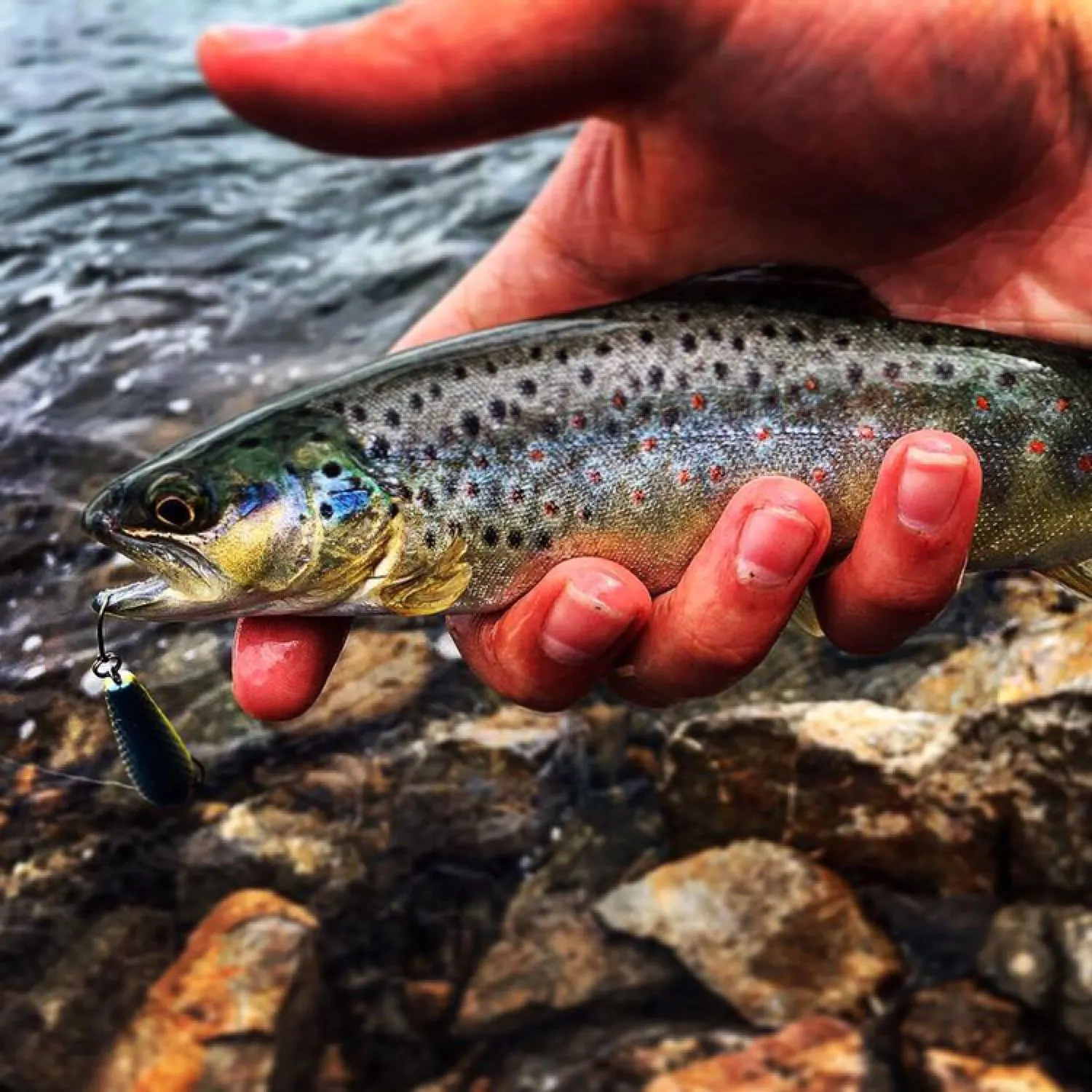
Top fish species at Lower Charleston Canal

Check which species have trophy potential in Lower Charleston Canal
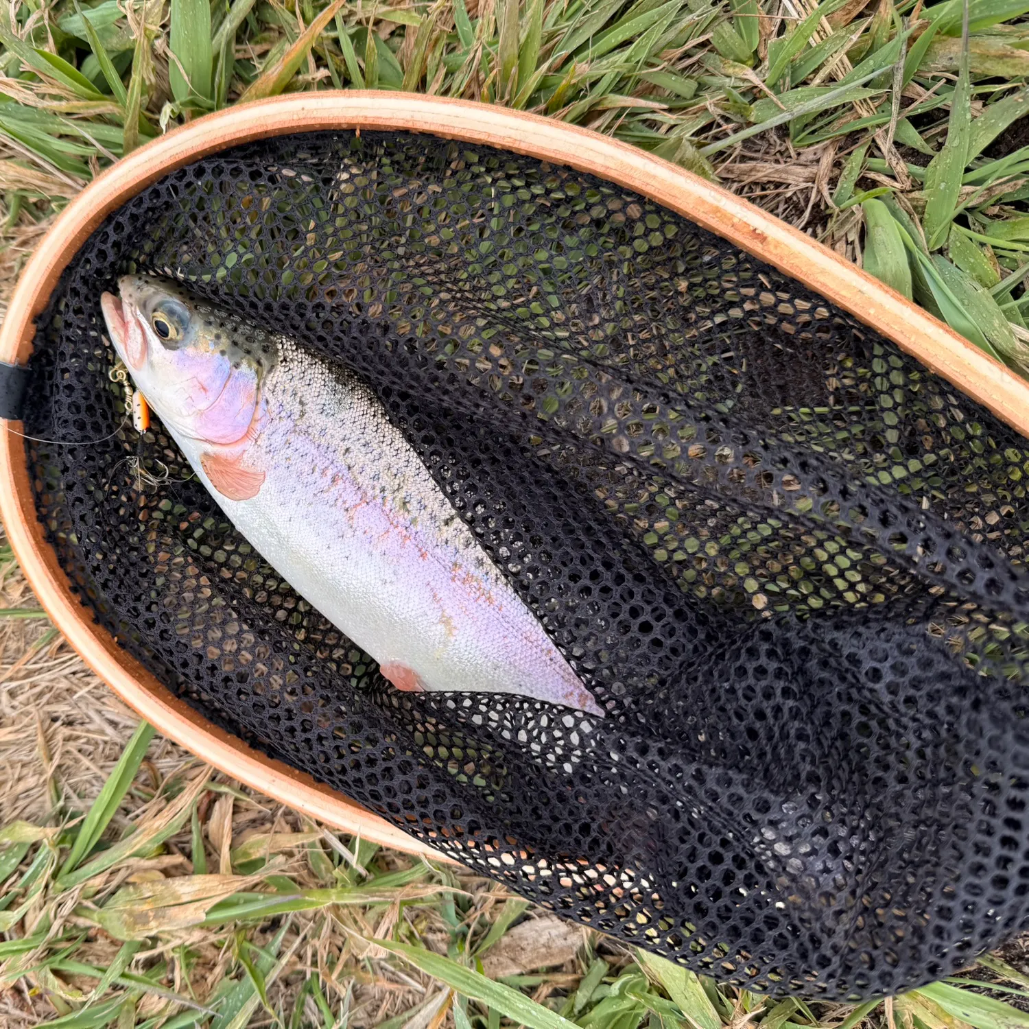
Lower Charleston Canal fishing reports


Continue browsing catches and catch locations in the Fishbrain app
When are Brown trout biting on Lower Charleston Canal?
Learn what time of year and day to go fishing at Lower Charleston Canal. Download Fishbrain today to look for new fishing spots, scout new fishing access, or prep for your next trip.

Fishing regulations at Lower Charleston Canal, UT
Disclaimer: Always check local fishing regulations, water access rights and land ownership before fishing, regardless of any catches logged in that area by the Fishbrain community. Fishbrain has mapped millions of acres of government-owned land across the USA to help you identify potential fishing access, but you are responsible for ensuring compliance with all legal requirements.
Fishing regulations in Utah can change throughout the year. Make sure to check this page before fishing for the most up to date rules and regulations for the current season. Local regulations govern when you can fish, the max size of the fish you can keep, how many fish you can keep, and more.
Regulations for top species

Smallmouth bass
Bag limit6
The maximum number of individual fish legally harvested per harvester per day. Bag limits are only for properly licensed anglers actively harvesting the species. People who are not actively harvesting or are not properly licensed (if a license is required) may NOT be counted for the purpose of bag limits.
Aggregate limit6
The maximum number of individual fish across an aggregate group of species legally harvested per harvester per day.
Restrictions & requirements
Gigging
Harvest by gigging prohibited.
Snagging
Harvest of this species by snagging (snatch hooking) is prohibited.
Spears
Harvest of this species by "spearing" is prohibited. Spearing includes the catching or taking of a fish by bow hunting, gigging, spearfishing, or by any device used to capture a fish by piercing the body.
UT Bowfishing
Fishing with archery tackle—also called bowfishing—is allowed in most Utah waterbodies but only for nonprotected, nongame fish such as carp. And within that limitation, there are waters where you may bowfish for carp only (see Utah Division of Wildlife Resources Fishing Guidebook).In most areas, bowfishing is allowed at night with the use of spotlights. There are a few notable exceptions: The tributaries of Utah Lake are closed to bowfishing at night (sunset to sunrise) from May 7 until 6 a.m. on July 9. A few other lakes, including Lake Powell, have closed areas. If you're wondering about a specific waterbody, see the Utah Division of Wildlife Resources Fishing Guidebook or call the Division office that manages that particular fishery.You may use a crossbow to take carp at any open water statewide. You may not use a crossbow to take any other species of fish.Please remember that archery tackle and crossbows are considered weapons and cannot be discharged within 600 feet of a structure.
UT Underwater Spearfishing
Underwater spearfishing hours are fromofficial sunrise to official sunset. It is illegal touse artificial light while underwater spearfishing,and free shafting is prohibited.The waters listed below are open to underwaterspearfishing for game fish from Jan. 1through Dec. 31.Unless otherwise noted, you may usespearfishing to take any legal species withinthe daily limits, length limits and seasonalclosures that apply to each waterbody:Big Sand Wash Reservoir (Duchesne County)Blue Lake, for pacu and tilapia only (Tooele County)Brown's Draw Reservoir (Duchesne County)Causey Reservoir (Weber County)Electric Lake (Emery County)Grantsville Reservoir (Tooele County)Jordan River, for northern pike only (Salt Lake and Utah counties)Newcastle Reservoir, for wipers and rainbow trout only (Iron County)Porcupine Reservoir (Cache County)Quail Creek Reservoir, for smallmouth bass only (Washington County)Recapture Reservoir (San Juan County)Sand Lake (Summit County)Smith and Morehouse Reservoir (Summit County)Utah Lake, for northern pike and white bass only (Utah County) Utah Lake tributaries, including but not limited to the following tributaries west of I-15: American Fork Creek, Beer Creek, Dry Creek, Hobble Creek, Spanish Fork River, Spring Creek and Spring Creek Run; for northern pike only (Utah County). Spearfishing is not permitted in the Provo River or Provo River Delta.Willard Bay Reservoir (Box Elder County) Yuba Reservoir (Juab and Sanpete counties)There are a few exceptions to spearfishing regulations:At Fish Lake (Sevier County), you may underwater spearfish for all fish species from 6 a.m. on June 4 until official sunset on Sept. 9.At Flaming Gorge (Daggett County), you can underwater spearfish for burbot from Jan. 1 to Dec. 31, 24 hours per day. You can also use artificial light while spearfishing for burbot at this reservoir. All possession limits and seasonal closures apply, regardless of the angling technique you use. (This includes the statewide seasonal closure on kokanee salmon from Sept. 10 to Nov. 30, 2024.)Restrictions on spearfishing for bassThe waters listed below are open to underwater spearfishing for game fish from Jan. 1 through Dec. 31, but you may not use spearfishing to take largemouth and smallmouth bass from April 1 through June 22, 2024:Deer Creek Reservoir (Wasatch County)East Canyon Reservoir (Morgan County)Echo Reservoir (Summit County)Flaming Gorge Reservoir (Daggett County)Lake Powell (Garfield, Kane and San Juan counties)Pineview Reservoir, except closed year round to the take of tiger muskie (Weber County)Red Fleet Reservoir (Uintah County)Rockport Reservoir (Summit County)Starvation Reservoir (Duchesne County)Steinaker Reservoir (Uintah County) When you are spearfishing for bass at the above waterbodies, all daily limits and length limits apply.
Additional information
Synonyms


Free trial available