Dismal CreekSmith BranchBig Butt BranchBens BranchLake BerwindLittle Town Hill CreekTown Hill CreekCoal CreekMudlick CreekSlate Creek

Fishing spots, fishing reports, and regulations in
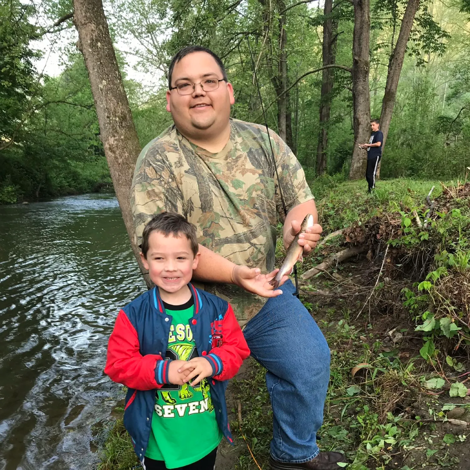
Loggy Bottom Branch
4 catches
4
Logged catches
Top fish species at Loggy Bottom Branch

See all species in the Fishbrain app
Loggy Bottom Branch fishing reports

length · weight

Have you been fishing here?
Log your catch and check out other catches from the community in the Fishbrain app.
General info
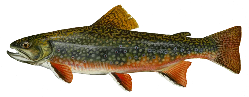
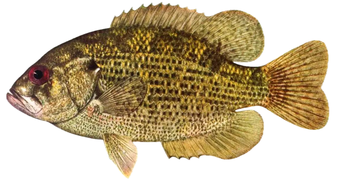
Loggy Bottom Branch is a stream located in Virginia, United States. It is most popular for fishing Smallmouth bass, Brook trout, and Rock bass.
chadnrebeccaclifton +2 others fish here
Location
37°14′37.3″N 81°54′6.5″W
Directions Fishing regulations at Loggy Bottom Branch, VA

FAQ about Loggy Bottom Branch fishing
the Loggy Bottom Branch is a stream located in Virginia, United States. Its coordinates are:
37°14′37.3″N 81°54′6.5″W
.Find the best fishing spots on the Loggy Bottom Branch by looking at where other anglers have caught fish. This can easily be done in the where it is also possible to see big fish potential and how good fishing is right now along with Navionics depth maps.
The most common species in the Loggy Bottom Branch are:
- Smallmouth bass - 1 members reported to have caught this fish
- Brook trout - 1 members reported to have caught this fish
- Rock bass - 1 members reported to have caught this fish
The latest Loggy Bottom Branch fishing reports are:
- @k-dye reported a nice Rock bass.
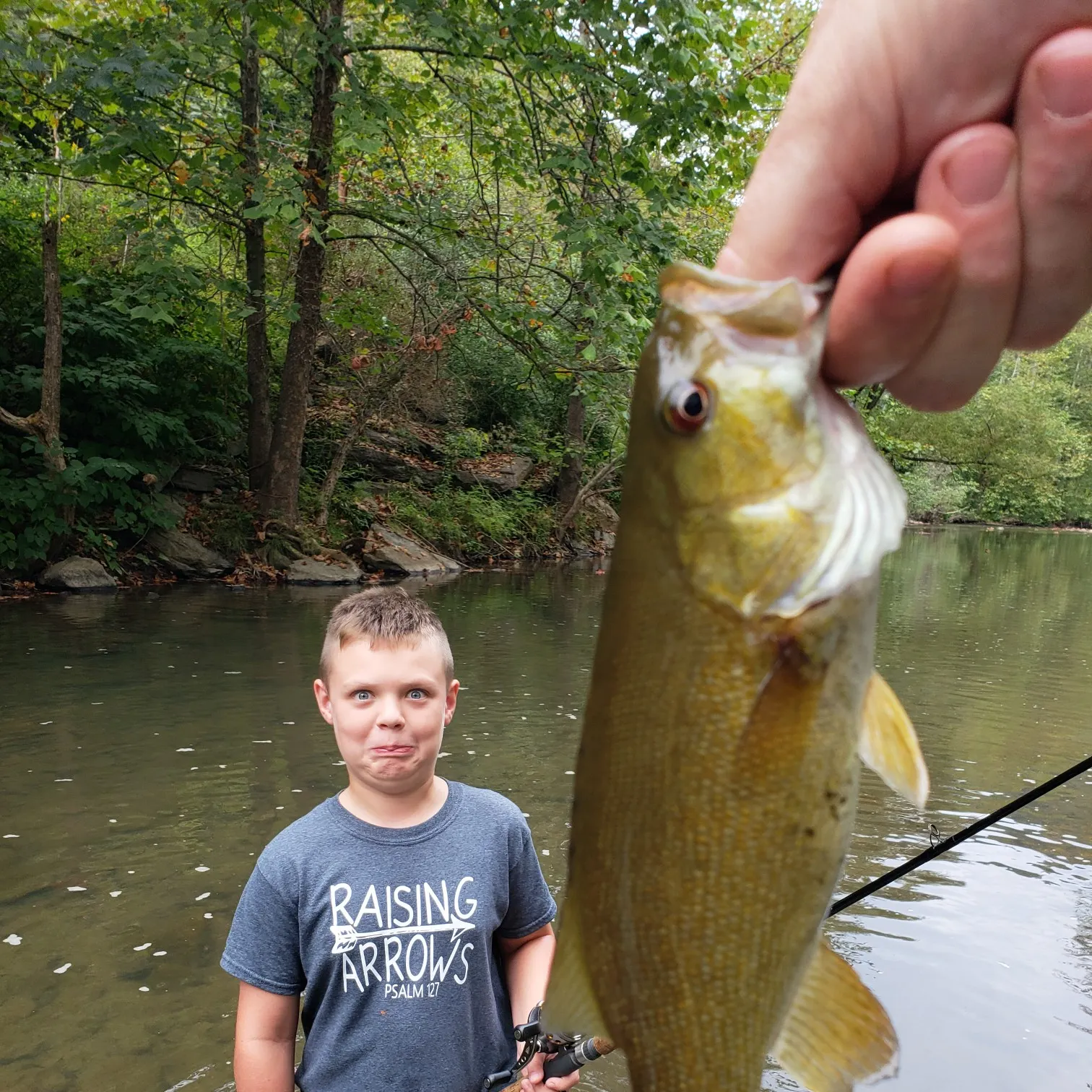
- @wharman8702 reported a nice Smallmouth bass.
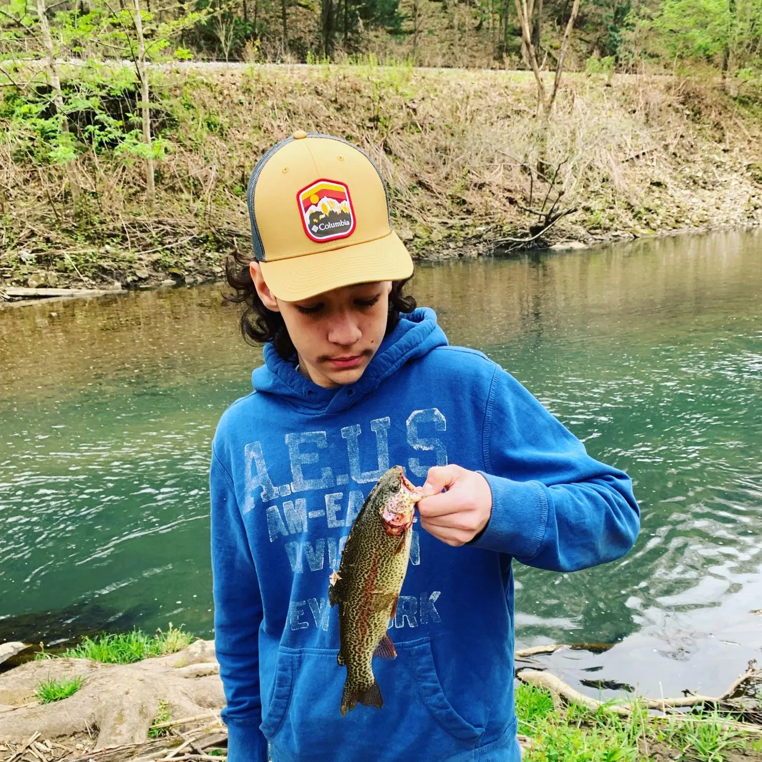
- @chadnrebeccaclifton reported a nice Brook trout.

Download Fishbrain and fish smarter
Unlimited access to the best fishing spot finder in the game. Get all the fishing intel you need to start catching more, and bigger, fish.
Free trial available