
Top fish species at Great Dismal Swamp


Check which species have trophy potential in Great Dismal Swamp
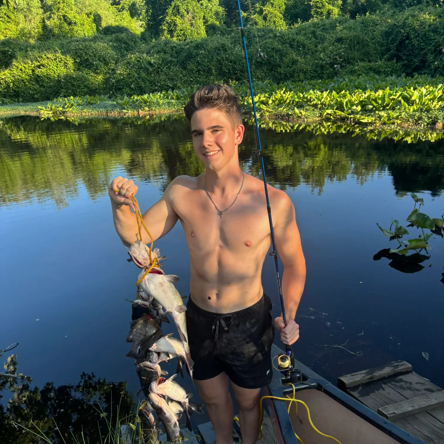
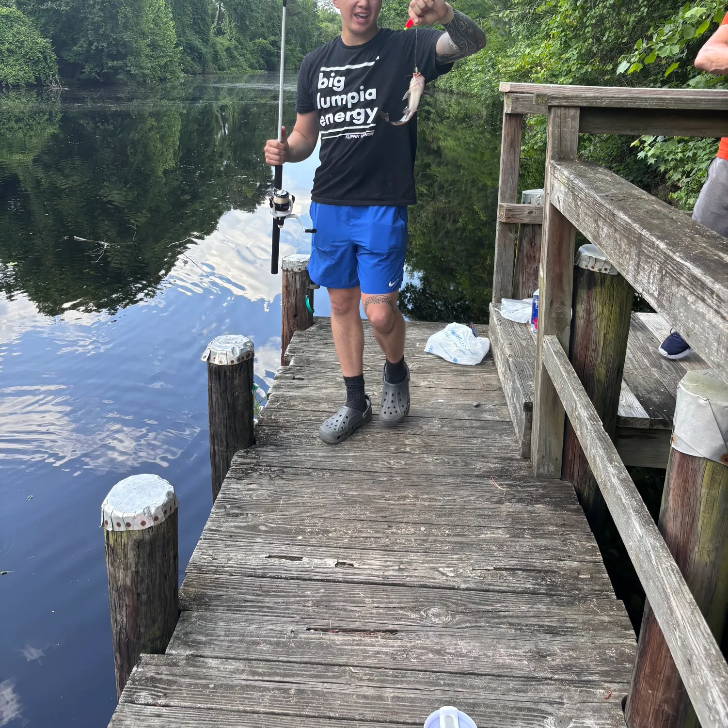
Great Dismal Swamp fishing reports

length · weight

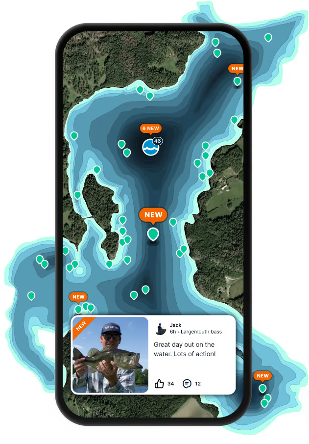
Continue browsing catches and catch locations in the Fishbrain app
When are Largemouth Bass biting on Great Dismal Swamp?
Learn what time of year and day to go fishing at Great Dismal Swamp. Download Fishbrain today to look for new fishing spots, scout new fishing access, or prep for your next trip.

Fishing regulations at Great Dismal Swamp, NC
Disclaimer: Always check local fishing regulations, water access rights and land ownership before fishing, regardless of any catches logged in that area by the Fishbrain community. Fishbrain has mapped millions of acres of government-owned land across the USA to help you identify potential fishing access, but you are responsible for ensuring compliance with all legal requirements.
Fishing regulations in North Carolina can change throughout the year. Make sure to check this page before fishing for the most up to date rules and regulations for the current season. Local regulations govern when you can fish, the max size of the fish you can keep, how many fish you can keep, and more.
Below you will see fishing regulations for catching Largemouth bass as of April 1st, 2026. To view regulations for a different fish species, please click on your preferred species in the drop-down.
Seasons
Bag limit
Min size
Measurement
14-inch minimum, except 2 may be less than 14 inches
For more information please see https://www.ncwildlife.org/licensing/regulations
Size and daily creel limit exceptions to state waters regulations:
Lake Santeetlah (Graham Co.)
No minimum size limit, and only 5 large- mouth bass and smallmouth bass in combination may be greater than 14 inches
No daily creel limit for large- mouth bass and smallmouth bass less than 14 inches, and only 5 largemouth bass and smallmouth bass in combination may be greater than 14 inches
Lake Cammack (Alamance Co.) and Lake Holt (Granville Co.)
No minimum size limit, and only 2 may be greater than 14 inches
10, including only 2 greater than 14 inches
New River (Alleghany Co. portion downstream of Fields Dam in Grayson Co., VA)
No minimum size, none between 14-22 inches may be possessed, and only 1 large- mouth bass, smallmouth bass, or spotted bass may be greater than 22 inches
5 largemouth bass, smallmouth bass, and spotted bass in combination, including only 1 largemouth bass, smallmouth bass, or spotted bass greater than 22 inches
Lake Chatuge (Clay Co.)
12-inch minimum
10 largemouth bass, smallmouth bass, Alabama bass, and spotted bass in combination
In the following waters and their tributaries:
- Albemarle, Croatan, Currituck, and Roanoke Sounds
- Alligator River (including the Alligator/Pungo Canal (Intra- coastal Waterway) east of the U.S. 264/N.C. 45 bridge)
- Big Flatty Creek (Pasquotank Co.)
- Chowan River (including the Meherrin River)
- Little River (Pasquotank and Perquimans counties)
- North River (Camden and Currituck counties)
- Northwest River (Currituck Co.)
- Pasquotank River
- Perquimans River
- Roanoke River downstream of Roanoke Rapids Dam
- Scuppernong River
- Yeopim River
- All other associated tributaries and canals to the waters listed above
14-inch minimum; limit 5
New Lake (Hyde Co.)
14-inch minimum; limit 5
Pungo Lake (Hyde and Washington counties)
14-inch minimum; limit 5
Lake Raleigh (Wake Co.)
14-inch minimum; limit 5
Sutton Lake (New Hanover Co.)
14-inch minimum; limit 5
Lake Hampton (Yadkin Co.) and Shearon Harris Reservoir (Chatham and Wake counties)
14-inch minimum, except 2 may be less than 14 inches and none between 16-20 inches may be possessed 5, including only 2 less than 14 inches
Lake Phelps
14-inch minimum and none between 16-20 inches may be possessed; limit 5
Buckhorn Reservoir (Nash and Wilson counties) and Cane Creek Lake (Union Co.)
16-inch minimum; limit 5
Lake Mattamuskeet and associated canals (Hyde Co.)
16-inch minimum, and only 1 may be greater than 20 inches; limit 5, including only 1 greater than 20 inches
Lake Thom-A-Lex (Davidson Co.)
18-inch minimum; limit 5
Jean Guite Creek and assoicated canals within the Town of Southern Shores (Dare Co.) and Ponds associated with Martin Marietta Park (Craven Co.)
No largemouth bass may be possessed
For more information please see https://www.ncwildlife.org/licensing/regulations
Micropterus nigricans
Regulations for

FAQ about Great Dismal Swamp fishing
- Largemouth bass - 5 members reported to have caught this fish
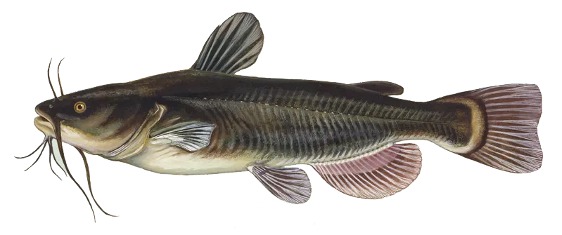
- Black bullhead - 4 members reported to have caught this fish
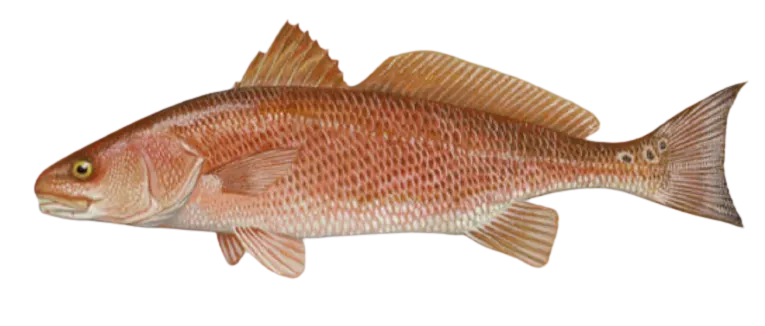
- Red drum - 1 members reported to have caught this fish
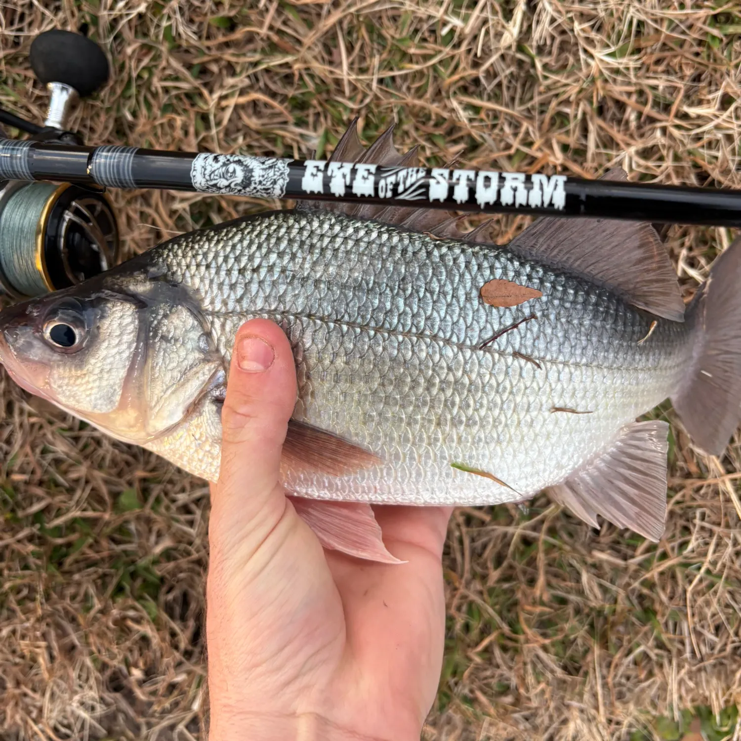
- @mason-thurman reported a nice White perch.
- @colekreis reported a nice Eyetail bowfin.
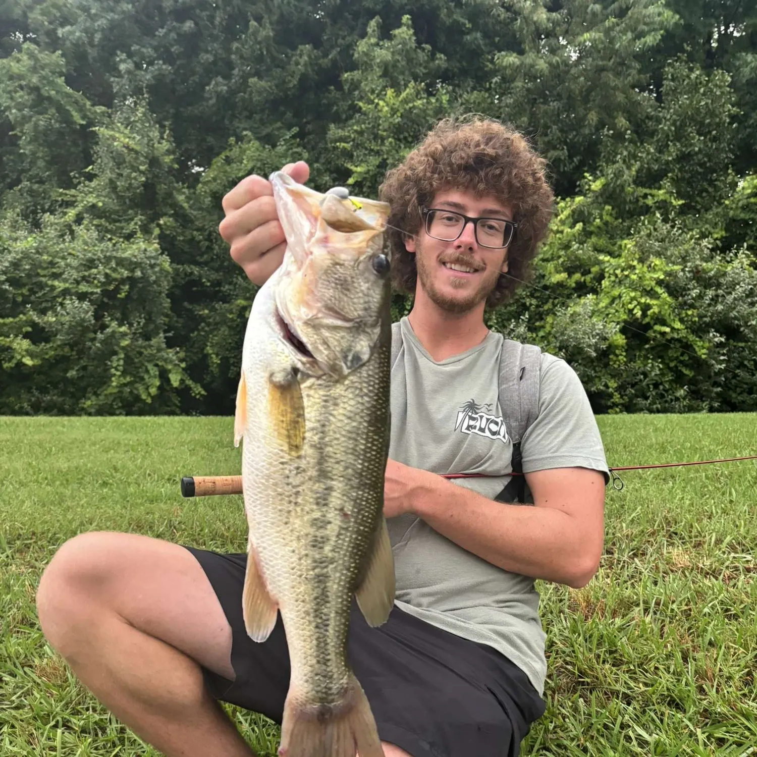
- @mason-thurman reported a nice Largemouth bass.
- @johnzuba reported a nice Yellow bullhead.
- @mason-thurman reported a nice Black crappie.
Free trial available