
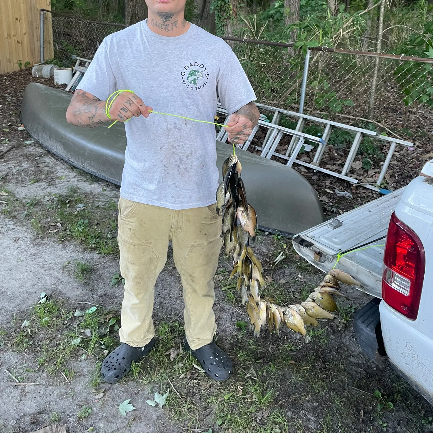
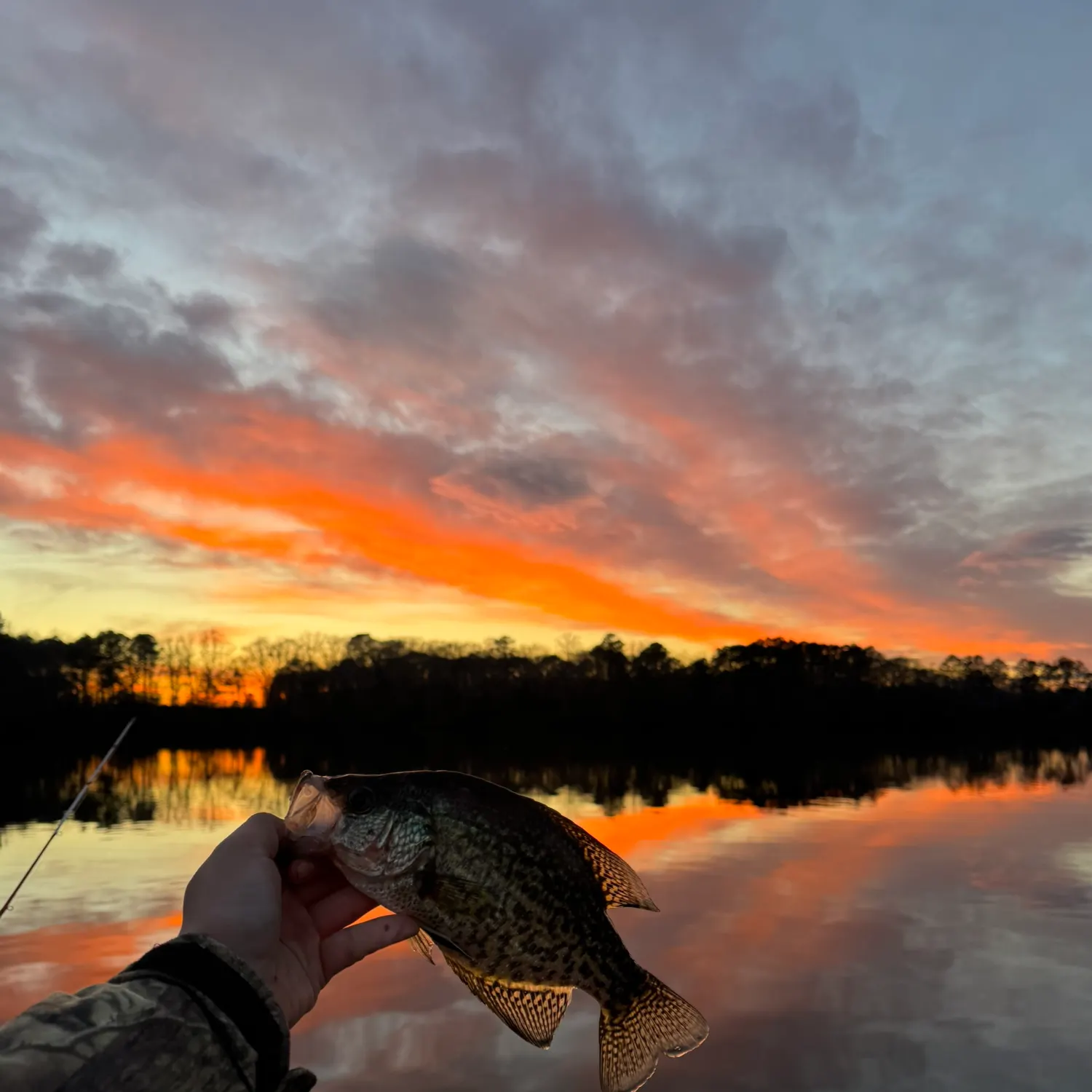
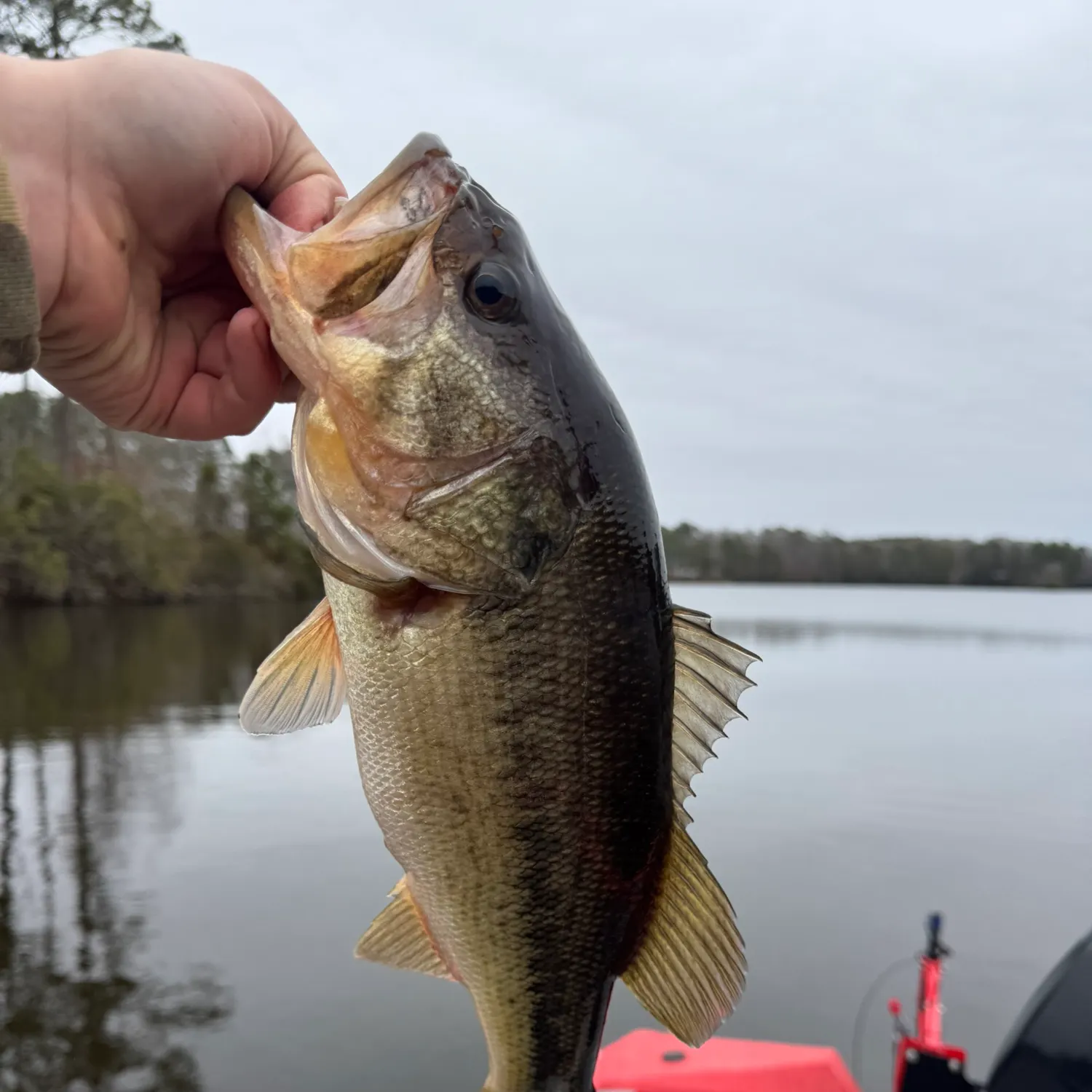
Logged catches
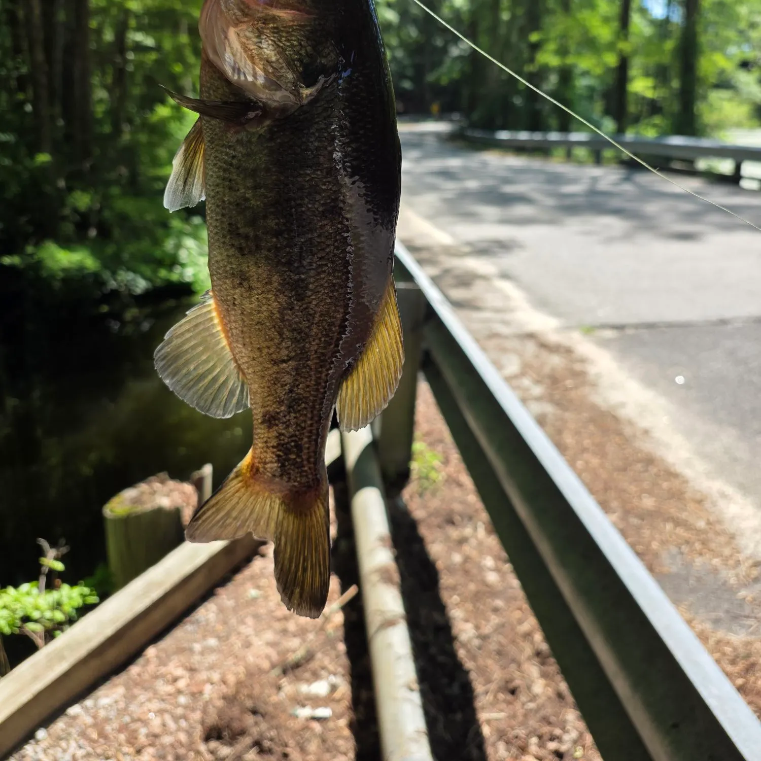
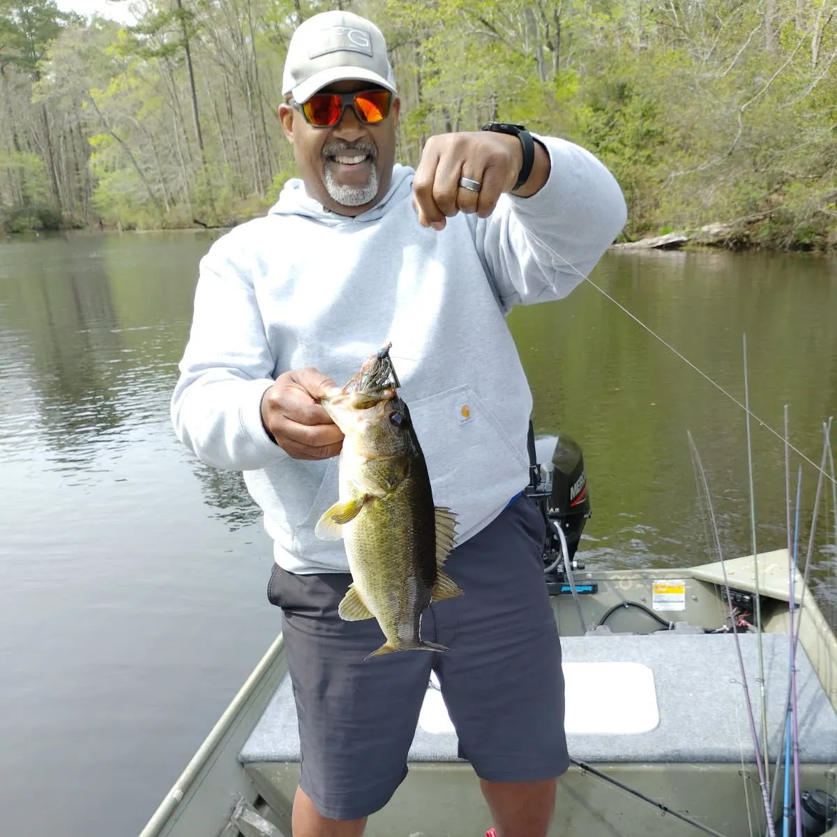
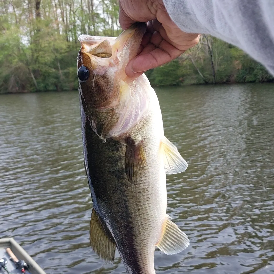
Top fish species at Lake Burnt Mills

Check which species have trophy potential in Lake Burnt Mills
Lake Burnt Mills fishing reports
length · weight

Continue browsing catches and catch locations in the Fishbrain app
When are Largemouth Bass biting on Lake Burnt Mills?
Learn what time of year and day to go fishing at Lake Burnt Mills. Download Fishbrain today to look for new fishing spots, scout new fishing access, or prep for your next trip.

Fishing regulations at Lake Burnt Mills, VA
Disclaimer: Always check local fishing regulations, water access rights and land ownership before fishing, regardless of any catches logged in that area by the Fishbrain community. Fishbrain has mapped millions of acres of government-owned land across the USA to help you identify potential fishing access, but you are responsible for ensuring compliance with all legal requirements.
Fishing regulations in Virginia can change throughout the year. Make sure to check this page before fishing for the most up to date rules and regulations for the current season. Local regulations govern when you can fish, the max size of the fish you can keep, how many fish you can keep, and more.
Regulations for top species

Largemouth bass
Bag limit5
The maximum number of individual fish legally harvested per harvester per day. Bag limits are only for properly licensed anglers actively harvesting the species. People who are not actively harvesting or are not properly licensed (if a license is required) may NOT be counted for the purpose of bag limits.
Aggregate limit5
The maximum number of individual fish across an aggregate group of species legally harvested per harvester per day.
Restrictions & requirements
Gigging
Harvest by gigging prohibited.
Snagging
Harvest of this species by snagging (snatch hooking) is prohibited.
Spears
Harvest of this species by "spearing" is prohibited. Spearing includes the catching or taking of a fish by bow hunting, gigging, spearfishing, or by any device used to capture a fish by piercing the body.
VA SCUBA
It is illegal to use SCUBA gear to take or attempt to take fish. (SCUBA = Self-contained Underwater Breathing Apparatus)
VA Noxious Substances
It is unlawful to use lime, dynamite, or any other substances to destroy fish, or to cast or allow noxious matter to pass into watercourses that might destroy fish or fish spawn, or to deposit trash in streams or lakes or along their banks.
VA Altered Fish
It shall be unlawful for any person, while fishing, to remove the head or tail or otherwise change the appearance of any gamefish (except bluegill sunfish and bream of the sunfish family) having a daily creel or size limit so as to obscure its species or render it impracticable to measure its total original length or count the number of such fish in possession. In addition, it shall be unlawful for any person to possess or transport such altered gamefish while on the water. However, the prohibition against possession and transportation in the previous sentence shall not apply to the preparation of lawfully obtained fish for immediate use as food or any lawful commercial use of such fish.
VA Hook and Line
Fishing in inland waters must be by angling with a hook and line or rod and reel. A hand landing net may be used to land fish legally hooked in all waters. See Virginia Department of Wildlife Resources website for exceptions.
Additional information
No statewide length limit. Statewide regulations are shown above.
Exceptions - LAKES
Briery Creek Lake: No largemouth or smallmouth bass 16 to 24 inches, only 1 per day longer than 24-inches total length
Buggs Island Lake/Kerr Reservoir: Only 2 of 5 largemouth or smallmouth bass less than 14-inches total length
Claytor Lake: No smallmouth less than 14-inches total length
Flannagan Reservoir: No largemouth bass less than 12-inches; no smallmouth bass less than 15-inches total length
Lake Gaston: Only 2 of 5 largemouth or smallmouth bass less than 14-inches total length
Leesville Reservoir: Only 2 of 5 largemouth or smallmouth bass less than 14-inches total length
Lake Moomaw: No largemouth or smallmouth bass less than 12-inches total length
Philpott Reservoir: No largemouth or smallmouth bass less than 12-inches total length
Quantico Marine Base waters: No largemouth or smallmouth bass 12 to 15-inches total length
Smith Mt. Lake and its tributaries below Niagara Dam: Only 2 of 5 largemouth or smallmouth bass less than 14-inches total length
South Holston Reservoir: No smallmouth less than 15-inches total length
Exceptions - RIVERS
Clinch River–within the boundaries of Scott, Wise, Russell or Tazewell counties: No largemouth or smallmouth bass less than 20-inches, only 1 per day longer than 20-inches total length
Dan River and tributaries downstream from the Union Street Dam, Danville: Only 2 of 5 largemouth or smallmouth bass less than 14-inches total length
James River–Confluence of the Jackson and Cowpasture rivers (Botetourt Cty) downstream to the 14th St. Bridge in Richmond: No largemouth or smallmouth bass 14 to 22-inches, only 1 per day longer than 22-inches total length
Levisa Fork River–within the boundaries Buchanan County: No largemouth or smallmouth bass less than 20-inches, only 1 per day longer than 20-inches total length
New River–Fields Dam (Grayson County) downstream to the VA-WV state line and its tributaries Little River downstream from Little River Dam in Montgomery County, Big Walker Creek from the Norfolk Southern Railroad Bridge downstream to the New River and Wolf Creek from the Narrows Dam downstream to the New River in Giles County. (Not includING Claytor Lake which is delineated as the upper end of the island at Allisonia downstream to the dam.): No largemouth or smallmouth bass 14 to 22-inches, only 1 per day longer than 22-inches total length
North Fork Holston River–Rt. 91 Bridge upstream of Saltville, Va. downstream to the VA-TN state line: No largemouth or smallmouth bass less than 20-inches, only 1 per day longer than 20-inches total length
Potomac River – Virginia tidal tributaries above Rt. 301 bridge: No largemouth or smallmouth bass less than 15-inches total length from March 1 through June 15
Staunton (Roanoke) River–and its tributaries below Difficult Creek, Charlotte County: Only 2 of 5 largemouth or smallmouth bass less than 14-inches total length
North Fork, South Fork and Mainstem Shenandoah River: No largemouth or smallmouth bass 11 to 14-inches total length
Staunton River–Leesville Dam (Campbell County) downstream to the mouth of Difficult Creek, Charlotte County: No smallmouth bass less than 20-inches, only 1 per day longer than 20-inches total length
For additional information, see Virginia Department of Wildlife Resources.
Edibility
Synonyms
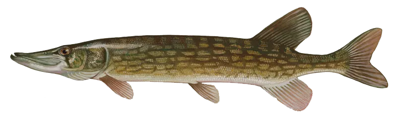
Chain pickerel
Bag limit5
The maximum number of individual fish legally harvested per harvester per day. Bag limits are only for properly licensed anglers actively harvesting the species. People who are not actively harvesting or are not properly licensed (if a license is required) may NOT be counted for the purpose of bag limits.
Restrictions & requirements
Gigging
Harvest by gigging prohibited.
Snagging
Harvest of this species by snagging (snatch hooking) is prohibited.
Spears
Harvest of this species by "spearing" is prohibited. Spearing includes the catching or taking of a fish by bow hunting, gigging, spearfishing, or by any device used to capture a fish by piercing the body.
VA SCUBA
It is illegal to use SCUBA gear to take or attempt to take fish. (SCUBA = Self-contained Underwater Breathing Apparatus)
VA Noxious Substances
It is unlawful to use lime, dynamite, or any other substances to destroy fish, or to cast or allow noxious matter to pass into watercourses that might destroy fish or fish spawn, or to deposit trash in streams or lakes or along their banks.
VA Altered Fish
It shall be unlawful for any person, while fishing, to remove the head or tail or otherwise change the appearance of any gamefish (except bluegill sunfish and bream of the sunfish family) having a daily creel or size limit so as to obscure its species or render it impracticable to measure its total original length or count the number of such fish in possession. In addition, it shall be unlawful for any person to possess or transport such altered gamefish while on the water. However, the prohibition against possession and transportation in the previous sentence shall not apply to the preparation of lawfully obtained fish for immediate use as food or any lawful commercial use of such fish.
VA Hook and Line
Fishing in inland waters must be by angling with a hook and line or rod and reel. A hand landing net may be used to land fish legally hooked in all waters. See Virginia Department of Wildlife Resources website for exceptions.
Additional information
No length limit. Statewide bag limit = 5 chain pickerel per day.
Lake Gaston and Buggs Island Lake/Kerr Reservoir: No daily limit
Edibility
Synonyms
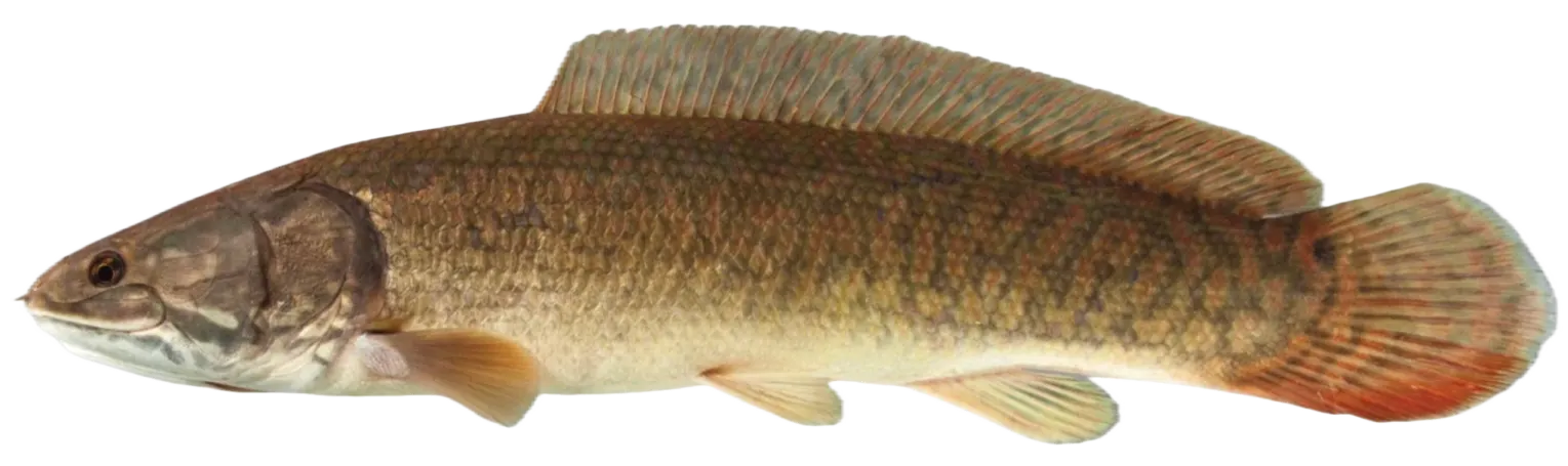
Ruddy bowfin
Bag limit5
The maximum number of individual fish legally harvested per harvester per day. Bag limits are only for properly licensed anglers actively harvesting the species. People who are not actively harvesting or are not properly licensed (if a license is required) may NOT be counted for the purpose of bag limits.
Restrictions & requirements
VA SCUBA
It is illegal to use SCUBA gear to take or attempt to take fish. (SCUBA = Self-contained Underwater Breathing Apparatus)
VA Noxious Substances
It is unlawful to use lime, dynamite, or any other substances to destroy fish, or to cast or allow noxious matter to pass into watercourses that might destroy fish or fish spawn, or to deposit trash in streams or lakes or along their banks.
VA Trotlines
Trotlines, juglines (noodles), or set poles (limb lines) may be used to take nongame fish and turtles provided they are not baited with live bait (worms are permissible), except on designated stocked trout waters, Department-owned lakes, and within 600 feet of any dam. Live bait other than game fish may be used on trot lines to take catfish in Carroll, Dickenson, Giles, Grayson, Montgomery, Pulaski and Wythe counties, and in the Clinch River in Russell, Scott, and Wise counties. Any person setting or possessing the above equipment shall have it clearly marked by permanent means with his or her name, address, and telephone number, and is required to check all lines and remove all fish and animals caught each day. All trotlines, juglines, or set poles must be removed from public waters when not in use.
Additional information
No statewide length limits
Bag limit:
- July 1 to April 14: 5 bowfin per day
- April 15 to June 30: 1 bowfin per day
Any common carp, grass carp, northern snakehead, goldfish, catfish, longnose gar, or bowfin taken with bow and arrow must be retained and must not be released back into or disposed of into the water. These fishes may not be disposed of on property abutting the body of water of capture.
For more information, see Virginia Department of Wildlife Resources.
Edibility
Synonyms


Free trial available