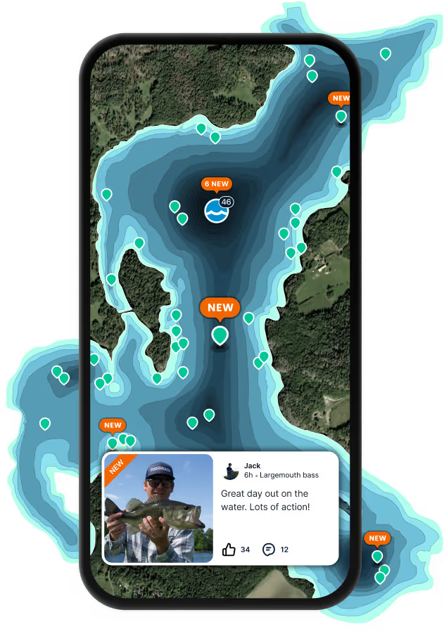
Map

Fleets Bay

Fishing spots, fishing reports, and regulations in

Virginia, United States

2.0·18 catches

Top fish species at Fleets Bay

App Section

Check which species have trophy potential in Fleets Bay

Fleets Bay fishing reports

Loading...

Summer flounder

length · weight

Loading...

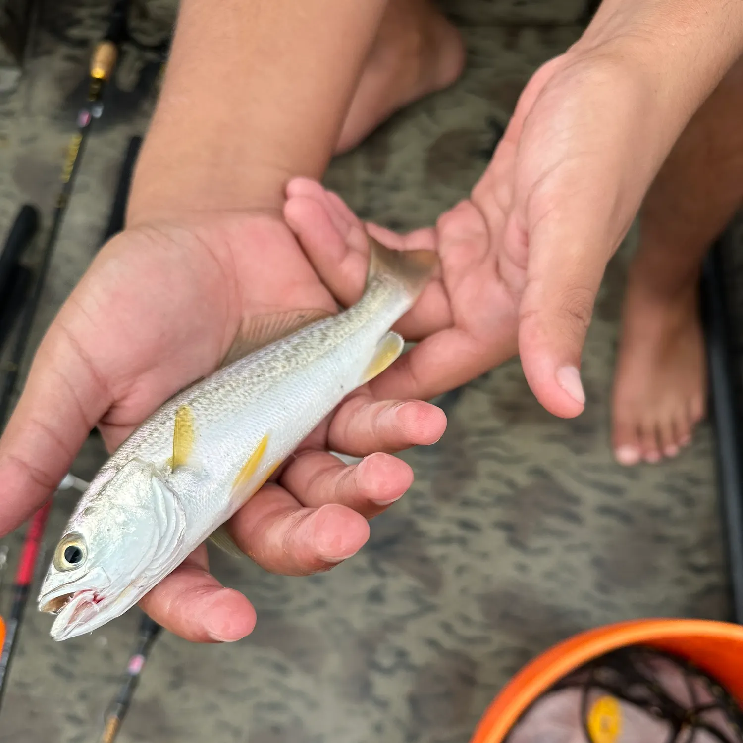
Gray weakfish

length · weight

Loading...

Spot croaker

length · weight

Loading...

Southern kingcroaker

length · weight

Loading...

Southern kingcroaker

length · weight

Loading...

Spot croaker

length · weight

Fishbrain
More catches in the app...

Continue browsing catches and catch locations in the Fishbrain app

Loading...
Loading...
Loading...

General info

Fleets Bay is an inshore water located in Lancaster County, Virginia, United States. It is also intersecting with Northumberland County, Virginia. It is most popular for fishing Red drum, Striped bass, and Southern kingcroaker.

Location

37°40′7.4″N 76°18′53.8″W
Directions

Amenities

When are Striped Bass biting on Fleets Bay?

Learn what time of year and day to go fishing at Fleets Bay. Download Fishbrain today to look for new fishing spots, scout new fishing access, or prep for your next trip.

Bite time image

Fishing regulations at Fleets Bay, VA

Disclaimer: Always check local fishing regulations, water access rights and land ownership before fishing, regardless of any catches logged in that area by the Fishbrain community. Fishbrain has mapped millions of acres of government-owned land across the USA to help you identify potential fishing access, but you are responsible for ensuring compliance with all legal requirements.

Fishing regulations in Virginia can change throughout the year. Make sure to check this page before fishing for the most up to date rules and regulations for the current season. Local regulations govern when you can fish, the max size of the fish you can keep, how many fish you can keep, and more.

Regulations for top species
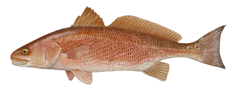
Season open: year-round
Red drum

Red drum

Regulation boundaryVirginia State Waters
Bag limit3

The maximum number of individual fish legally harvested per harvester per day. Bag limits are only for properly licensed anglers actively harvesting the species. People who are not actively harvesting or are not properly licensed (if a license is required) may NOT be counted for the purpose of bag limits.

Min size18" (Total Length)

No person shall harvest any individual fish less than the minimum size limit.

Total length means the straight line distance from the most forward point of the head with the mouth closed, to the farthest tip of the tail with the tail compressed or squeezed, while the fish is lying on its side.

Max size26" (Total Length)

No person shall harvest any individual fish greater than the maximum size except as permitted.

Total length means the straight line distance from the most forward point of the head with the mouth closed, to the farthest tip of the tail with the tail compressed or squeezed, while the fish is lying on its side.

Restrictions & requirements

Snagging

Harvest of this species by snagging (snatch hooking) is prohibited.

Additional information
Note: In Back Bay and tributaries, including Brinson's Inlet Lake (Lake Tecumseh), and the North Landing River and its tributaries: 1 red drum per day between 18 to 27-inches total length Release Citation 46 inches
Edibility
Very Good
Synonyms
Channel Bass, Redfish, Sciaenops ocellatus, Spottail Bass
Season open: May 16 - April 30
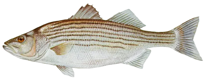
Striped bass

Striped bass

Regulation boundaryVirginia State Waters
Bag limit1

The maximum number of individual fish legally harvested per harvester per day. Bag limits are only for properly licensed anglers actively harvesting the species. People who are not actively harvesting or are not properly licensed (if a license is required) may NOT be counted for the purpose of bag limits.

Min size28" (Total Length)

No person shall harvest any individual fish less than the minimum size limit.

Total length means the straight line distance from the most forward point of the head with the mouth closed, to the farthest tip of the tail with the tail compressed or squeezed, while the fish is lying on its side.

Max size31" (Total Length)

No person shall harvest any individual fish greater than the maximum size except as permitted.

Total length means the straight line distance from the most forward point of the head with the mouth closed, to the farthest tip of the tail with the tail compressed or squeezed, while the fish is lying on its side.

Restrictions & requirements

NJ No Gaff

It is prohibited for any person to gaff striped bass when fishing recreationally.

Additional information
Regulations provided here are for the Virginia Coastal Season. Buggs Island Lake/Kerr Reservoir including the Staunton (Roanoke) River and its tributaries to Leesville Dam and the Dan River and its tributaries to the Union Street Dam (Danville) October 1–May 31: 2 per day in the aggregate (combined) No striped bass or hybridstriped bass less than 20 inches or greater than 26 inchesJune 1–September 30: 4 per day in the aggregate (combined) No length limit Claytor Lake and its tributariesSeptember 16–June 30: 2 per day in the aggregate, no striped bass or hybrid bassless than 20 inchesJuly 1–September 15: 4 per day in the aggregate; no length limit Lake Gaston4 per day in the aggregate (combined)October 1–May 31: No striped bass or hybrid striped bass less than 20 inchesJune 1–September 30: No length limit Smith Mountain Lake and its tributaries, including the Roanoke River upstream to Niagara Dam 2 per day in the aggregate (combined)November 1–May 31: No striped bass 30 to 40 inchesJune 1–October 31: No length limit Striped bass in the Meherrin, Nottoway, Blackwater (Chowan Drainage), North Landing and Northwest rivers and their tributaries plus Back BayCREEL AND LENGTH LIMIT = No possessionGEOGRAPHIC EXCEPTIONS = None applyCREEL OR LENGTH LIMITS = None apply Anadromous (coastal) striped bass above the fall line in all coastal rivers of the Chesapeake Bay and Crane Lake (City of Suffolk)CREEL AND LENGTH LIMIT = Creel and length limits shall be as set by the Virginia Marine Resources Commission for recreational fishing in tidal watersGEOGRAPHIC EXCEPTIONS = None applyCREEL OR LENGTH LIMITS FOR EXCEPTIONS = None apply The Virginia Department of Wildlife Resources (VDWR) maintains a database of wildlife locations, including threatened and endangered species, trout streams, and anadromous fish waters that may contain information not documented in this letter. Their database may be accessed https://services.dwr.virginia.gov/fwis/ or contact Amy Martin at 804-367-2211 or amy.martin@dwr.virginia.gov.
Synonyms
Morone saxatilis
Season open: year-round
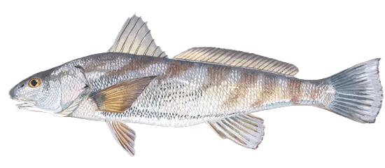
Southern kingcroaker

Southern kingcroaker

Regulation boundaryVirginia State Waters
Additional information
No minimum size limit No bag limit Citation 1.5 lbs or 16 inches
Edibility
Very good
Synonyms
Ground Mullet, Menticirrhus americanus, Roundhead, Sea Mullet, Whiting
License Icon
Local laws and licenses

Virginia fishing license

Get license

Reviews of Fleets Bay

2.0
Loading...

1 ratings

5
4
3
2
1
Top reviews

Cities nearby

White Stone

4.4 miles away

Kilmarnock

4.8 miles away

Deltaville

8.1 miles away

Lancaster

10.2 miles away

Urbanna

14.3 miles away

Saluda

15.9 miles away

Mathews

16.1 miles away

Heathsville

19.5 miles away

Tangier

20.6 miles away

Gloucester Courthouse

21.6 miles away

Boston

26.2 miles away

Smith Island

26.4 miles away

Franktown

27.4 miles away

West Point

27.8 miles away

Willis Wharf

29.6 miles away

Eastville

30.0 miles away

Warsaw

31.6 miles away

Yorktown

31.9 miles away

St. George Island

32.1 miles away

Cape Charles

33.0 miles away

Tappahannock

34.7 miles away

Williamsburg

35.0 miles away

New Kent

38.4 miles away

Anything missing or inaccurate?

Suggest changes to improve what we show.

Suggest changes

FAQ about Fleets Bay fishing

📍 Where is Fleets Bay located?
Fleets Bay is an inshore water located in Lancaster County, Virginia, United States. It is also intersecting with Northumberland County, Virginia. Its coordinates are:
37°40′7.4″N 76°18′53.8″W
.
🎣 Where on Fleets Bay is it best to fish?
Find the best fishing spots on Fleets Bay by looking at where other anglers have caught fish. This can easily be done in the where it is also possible to see big fish potential and how good fishing is right now along with Garmin® depth maps.
🐟 What species are in Fleets Bay?
The most common species in Fleets Bay are:
📢 What are the latest Fleets Bay fishing reports?
The latest Fleets Bay fishing reports are:
🗓️ What species are in season at Fleets Bay right now?
According to fishing regulations at Fleets Bay, some of the species in season this November include: Striped bass, Spotted seatrout, Blacktip shark, Black sea bass, and Bonnethead shark. For full details on other species — including bag limits, minimum and maximum size limits, and seasonal closures — download the .
🪪 Do I need a fishing license to fish at Fleets Bay?

Fishing in Virginia requires a valid state fishing license for anglers. Licenses include resident and non-resident, annual, short-term, and combination options, available online or from licensed agents.

In Virginia, no fishing license is required for anglers under 16 or residents 65 and older. A few other exceptions worth knowing:

  • Free fishing days — most states designate 1–2 weekends a year where anyone can fish without a license

  • Tribal waters — tribal members fishing on tribal land operate under separate tribal regulations

  • Private ponds — landowners fishing their own water typically don't need a license

Non-residents usually pay more for a license than residents. Some species also require an extra stamp or endorsement on top of your base license.

Get license
App Section
Download Fishbrain and fish smarter
Unlimited access to the best fishing spot finder in the game. Get all the fishing intel you need to start catching more, and bigger, fish.

Free trial available

Loading...
Loading...
Loading...
Loading...