
Fishing in White Stone, VA
Best fishing spots in White Stone, VA
Chesapeake Bay (South)
Virginia, United States
4.7
Rappahannock River
Virginia, United States
4.2
Beaverdam Swamp Reservoir
Virginia, United States
4.1
Piankatank River
Virginia, United States
4.6

Great Wicomico River
Virginia, United States
5.0
Cockrell Creek
Virginia, United States
Tabbs Creek
Virginia, United States
4.5
East River
Virginia, United States

Beaverdam Swamp
Virginia, United States
Dividing Creek
Virginia, United States

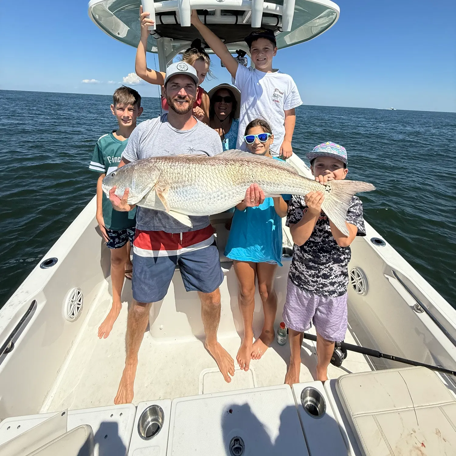
Want trophy-size catches? These White Stone spots deliver
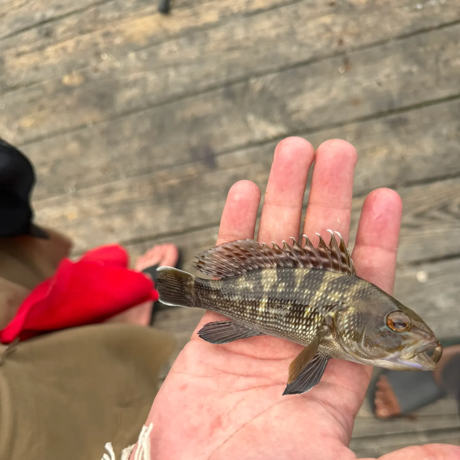
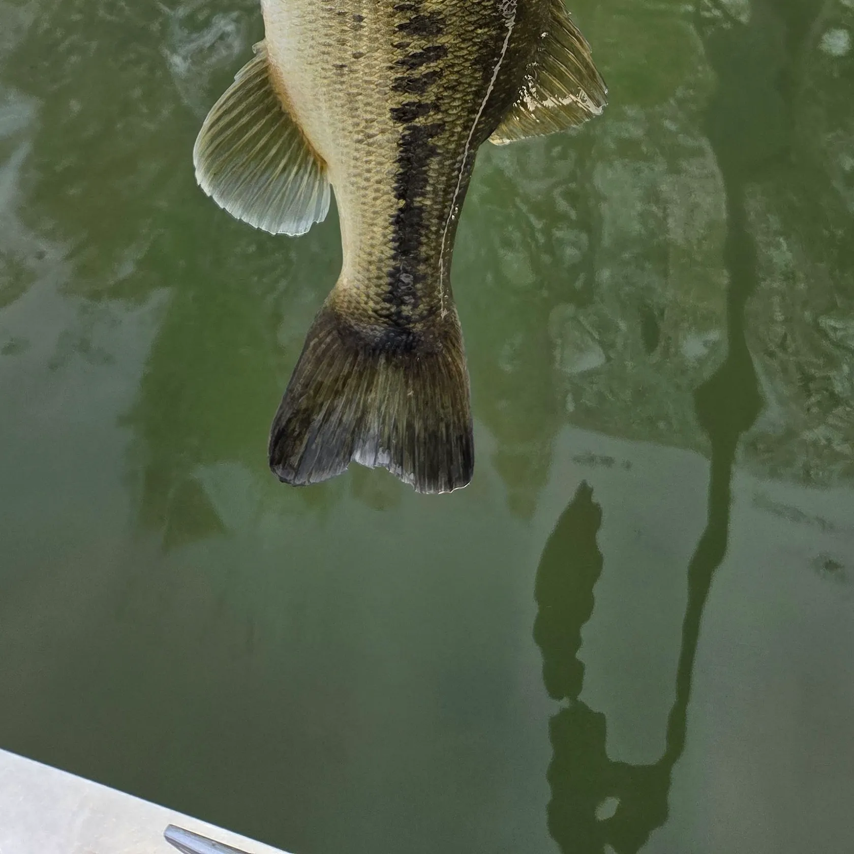
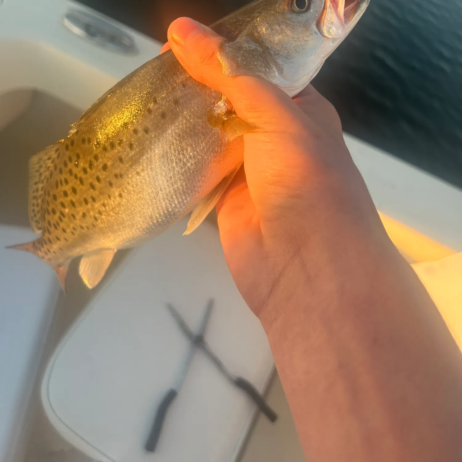
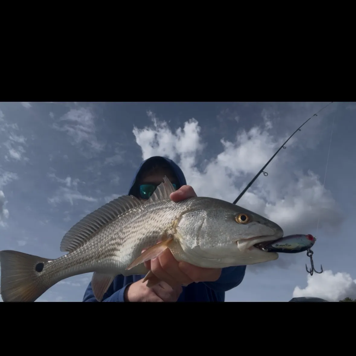
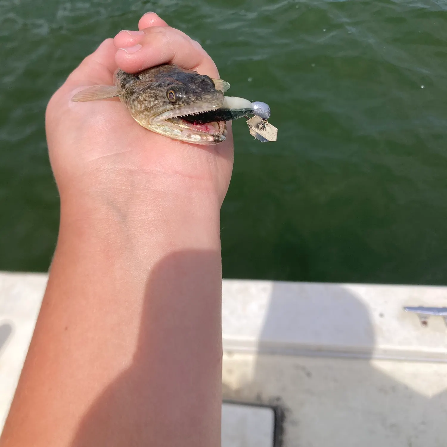
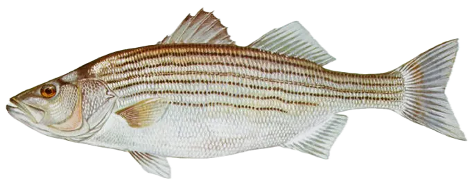
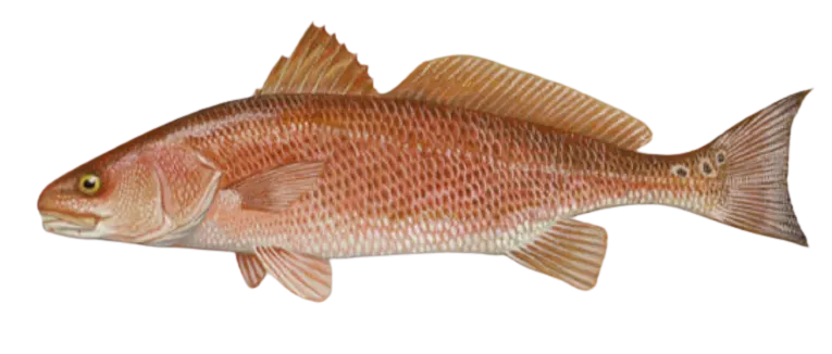
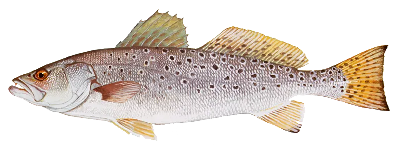
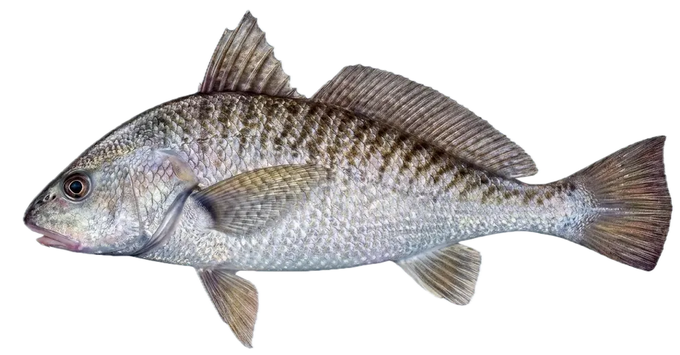
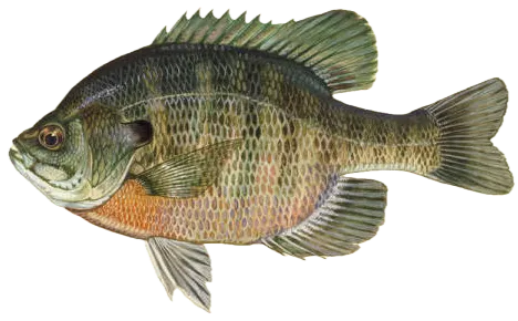
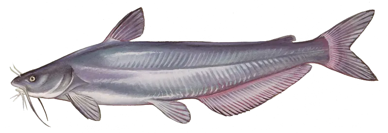
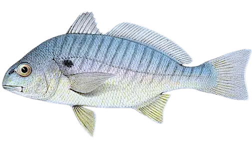
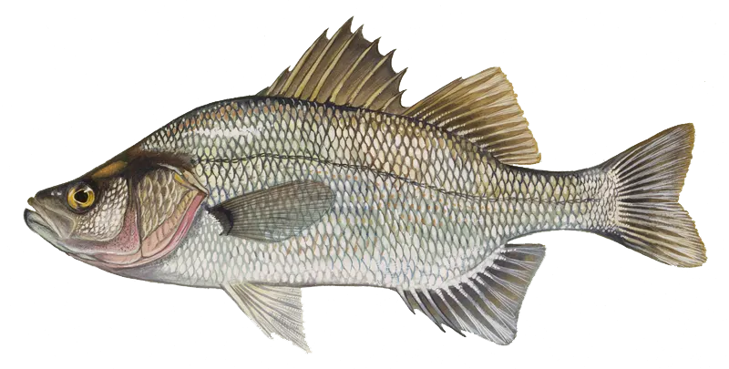
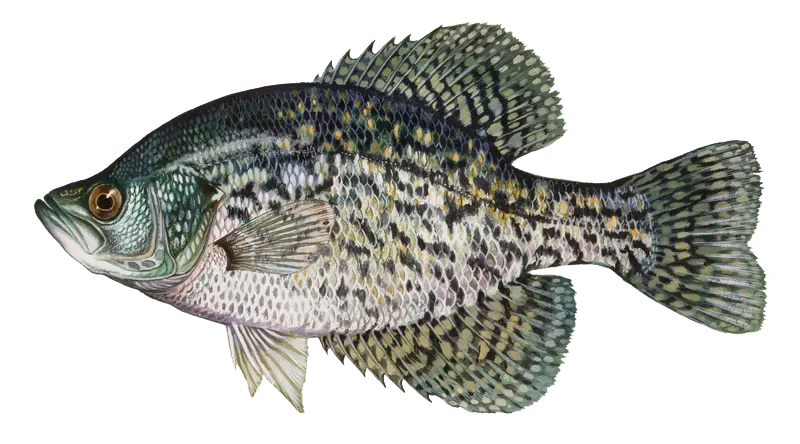
Top fish species in White Stone

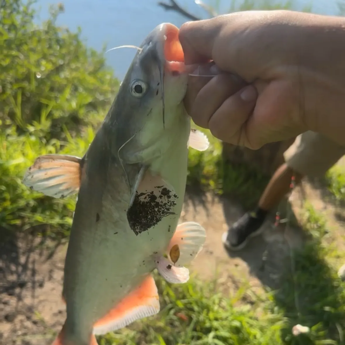
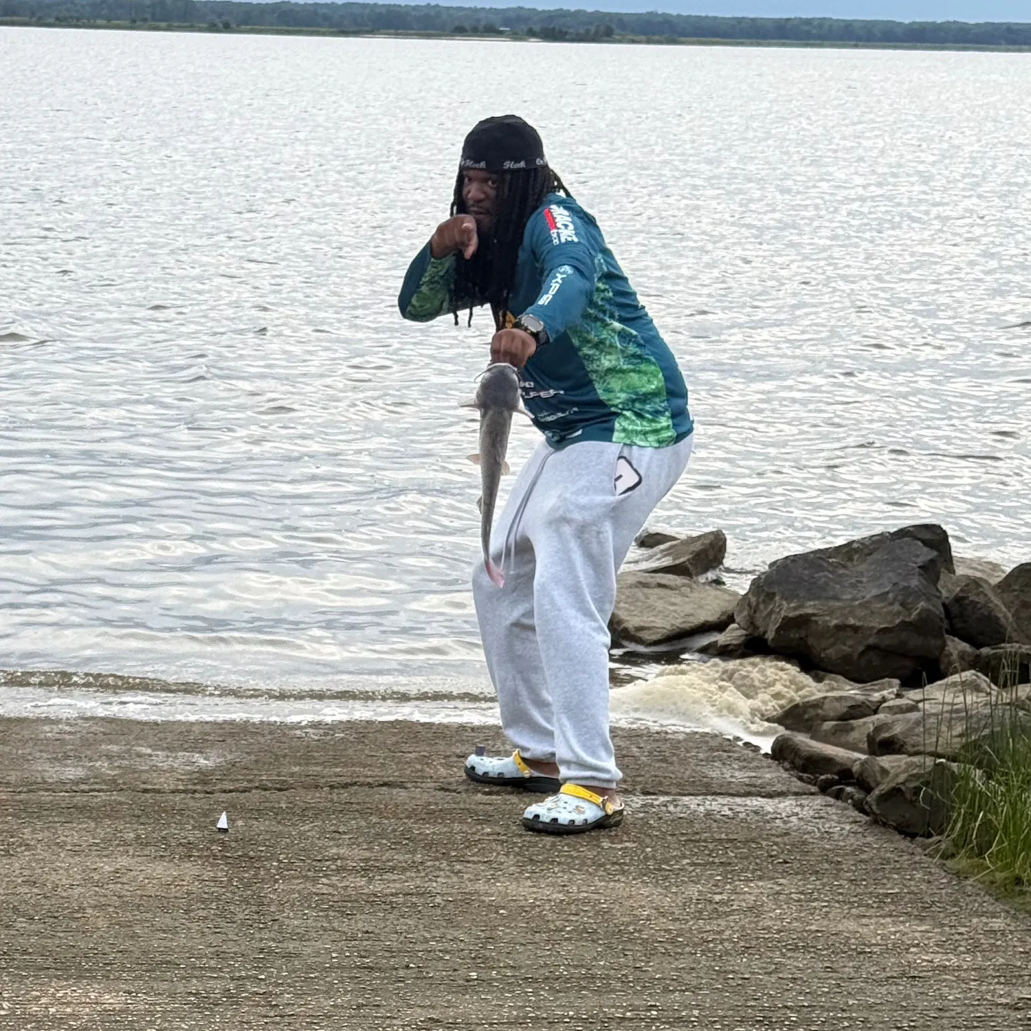
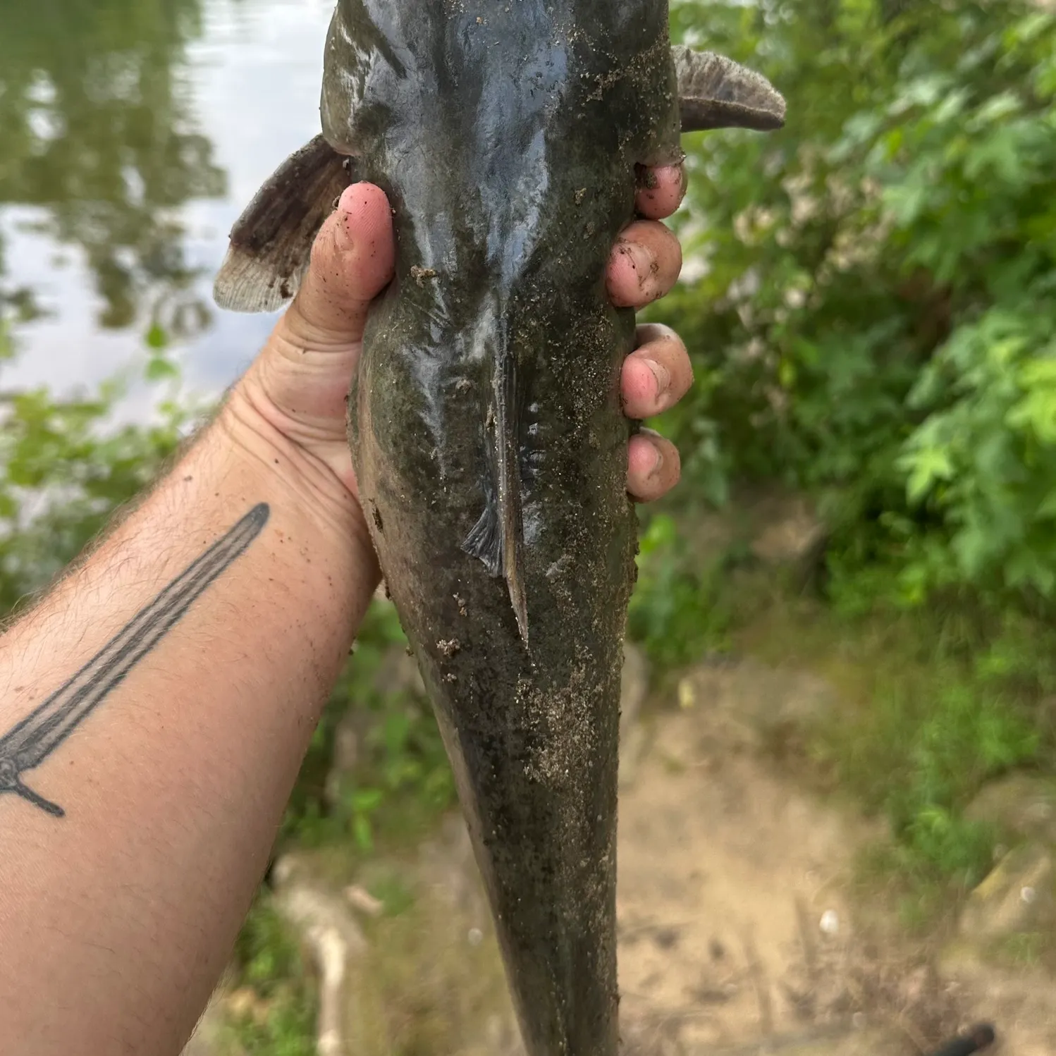
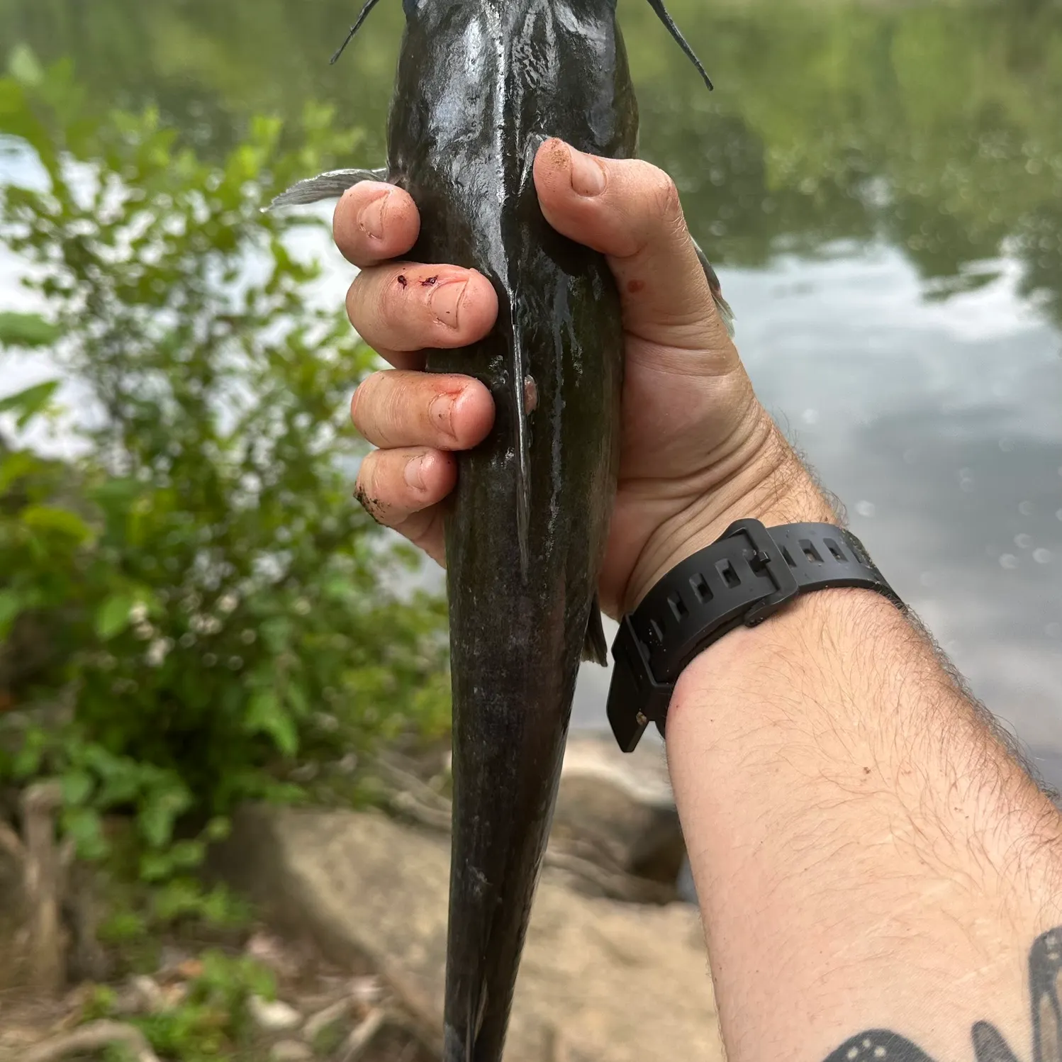
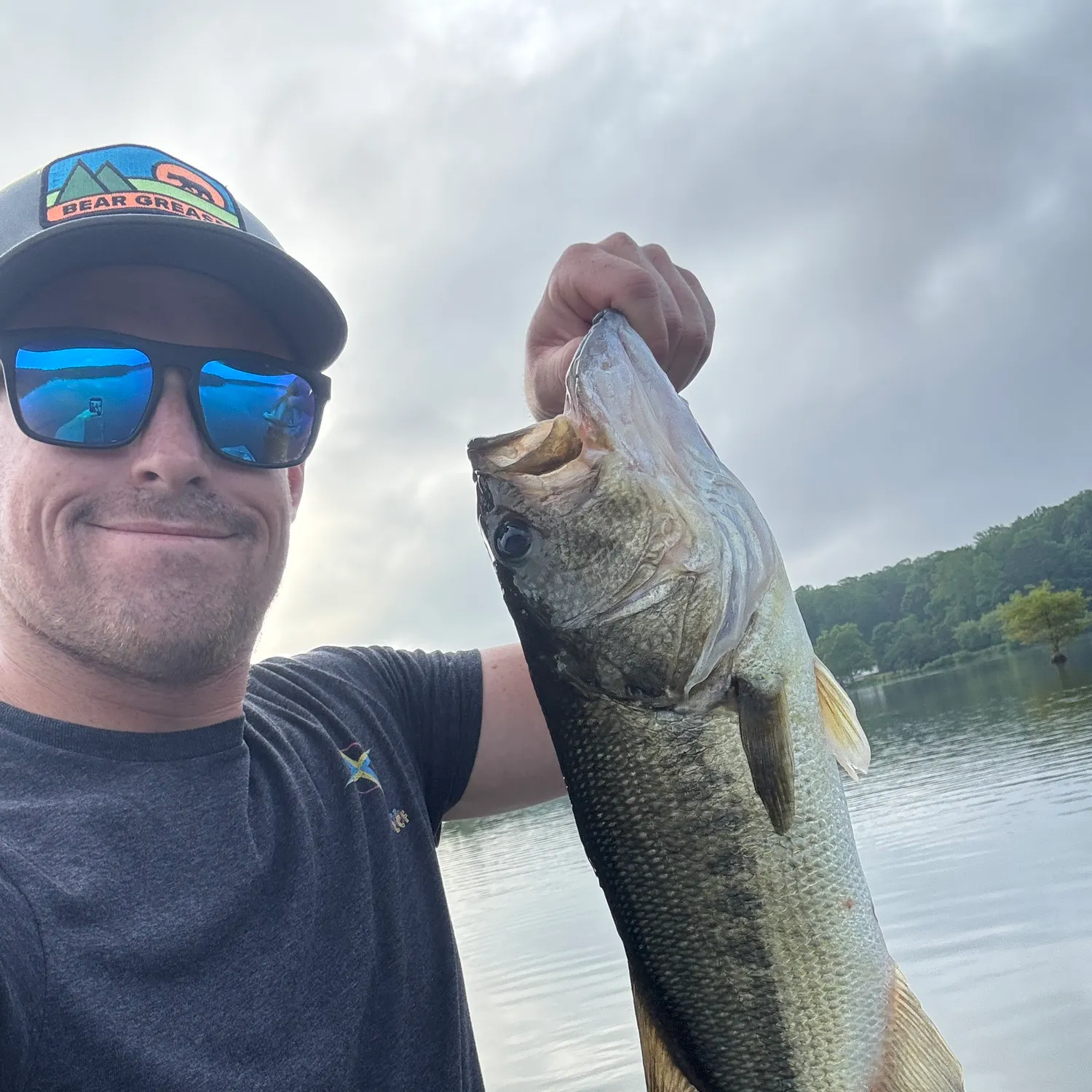
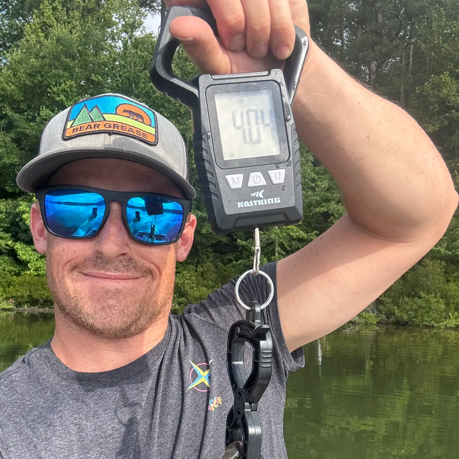
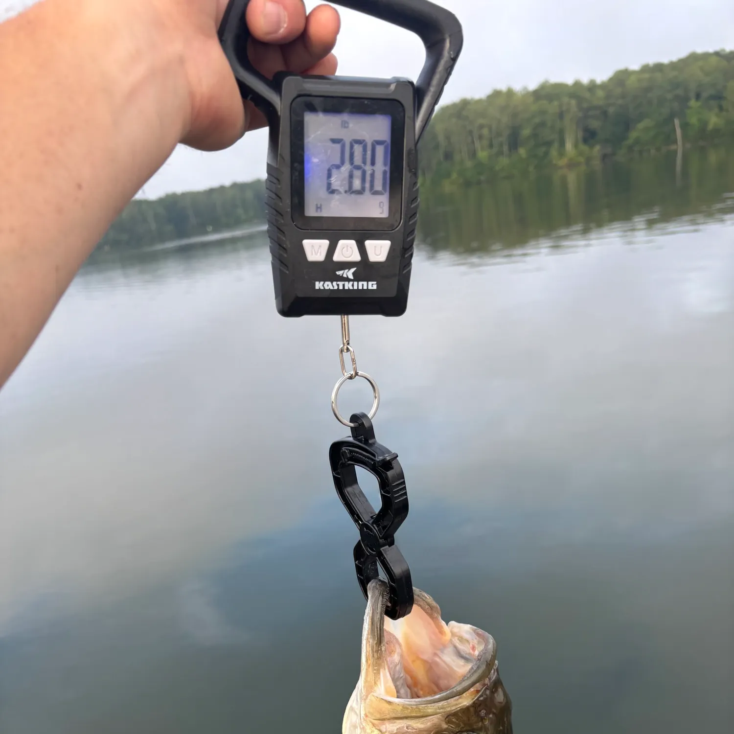
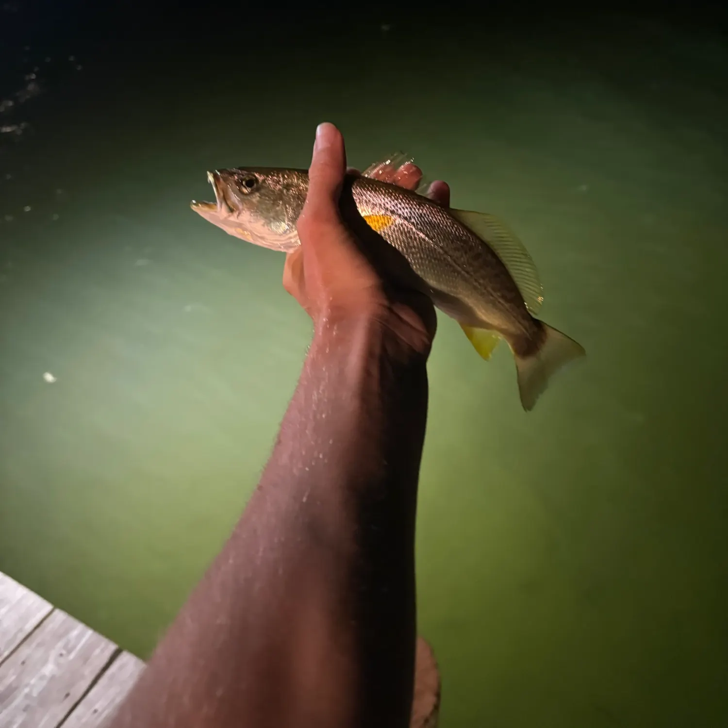
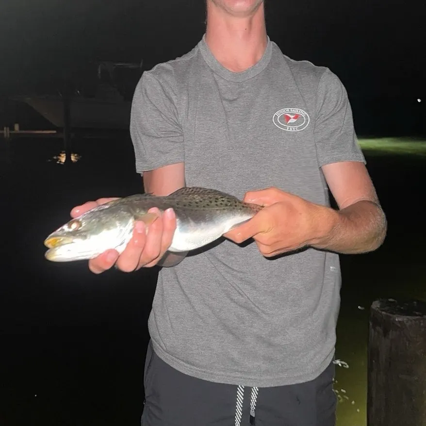
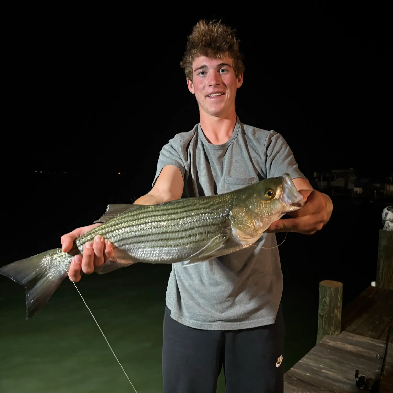
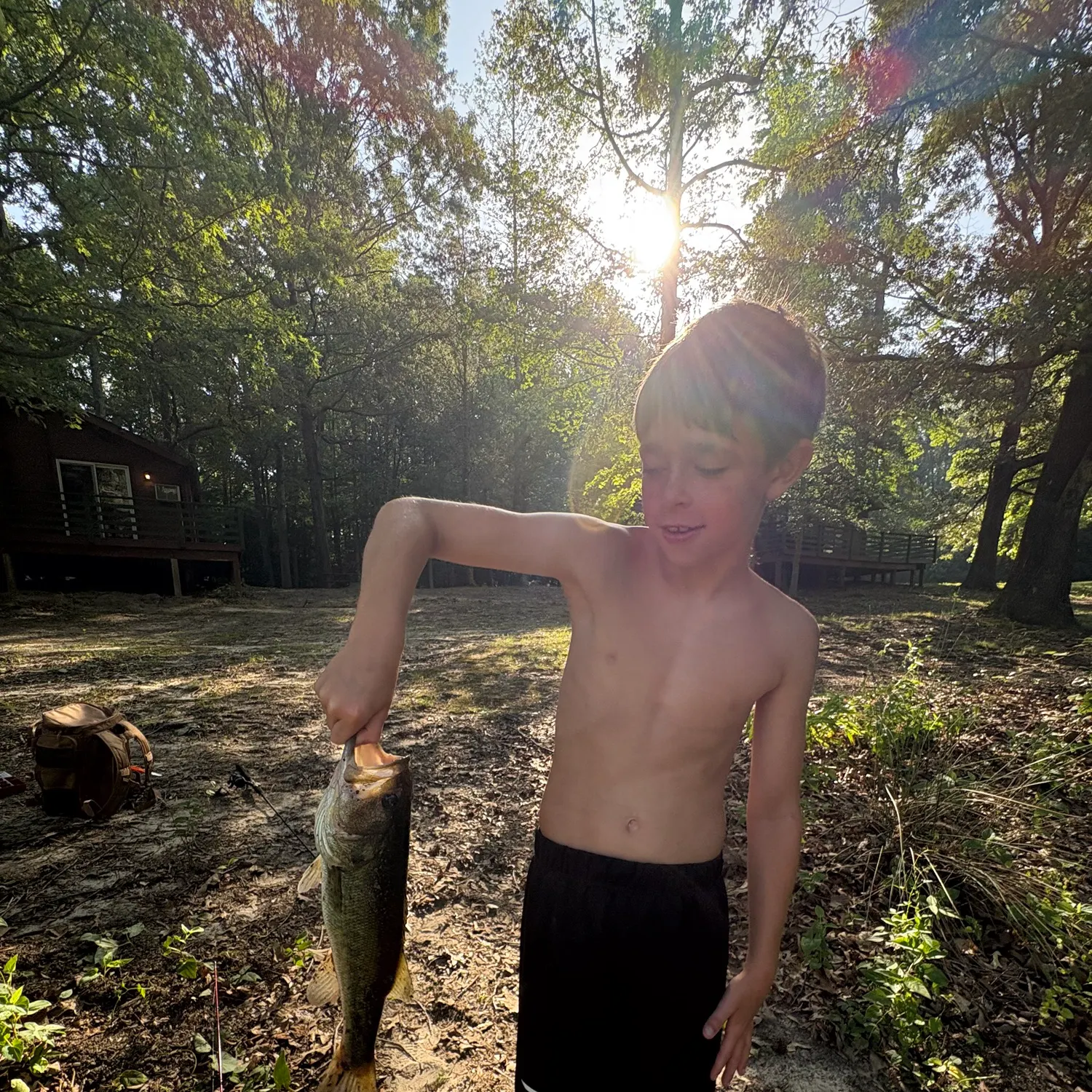
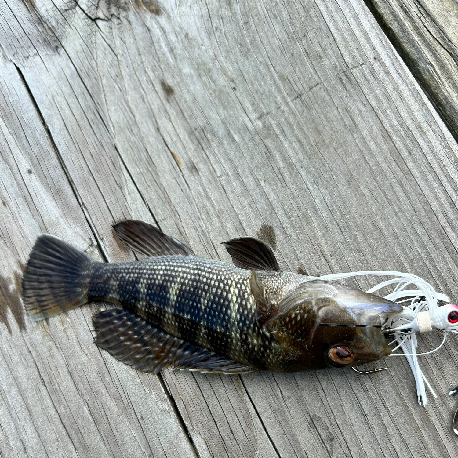
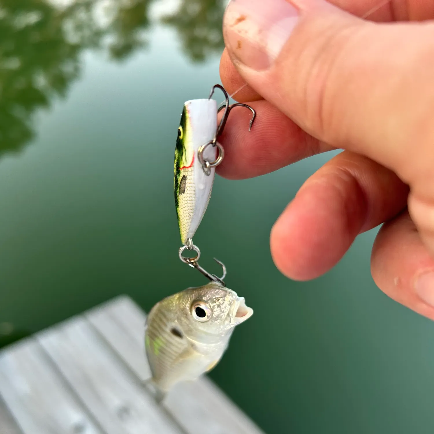
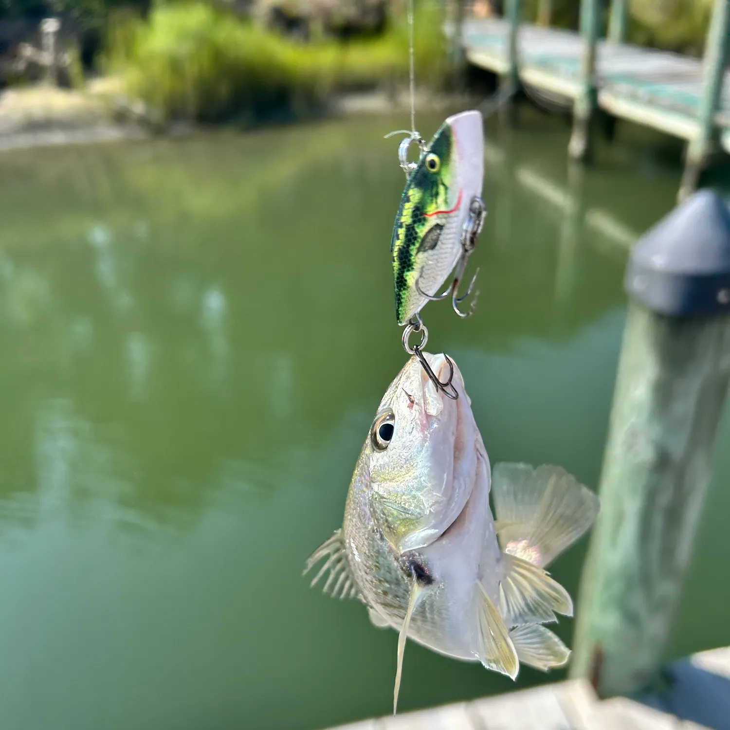
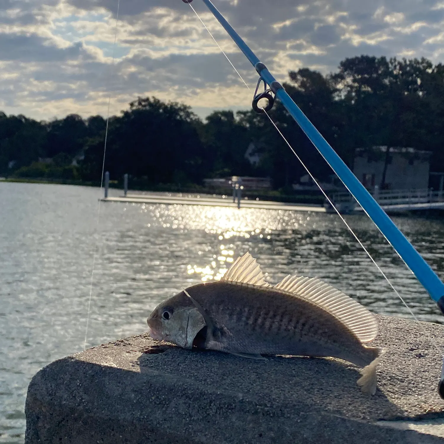
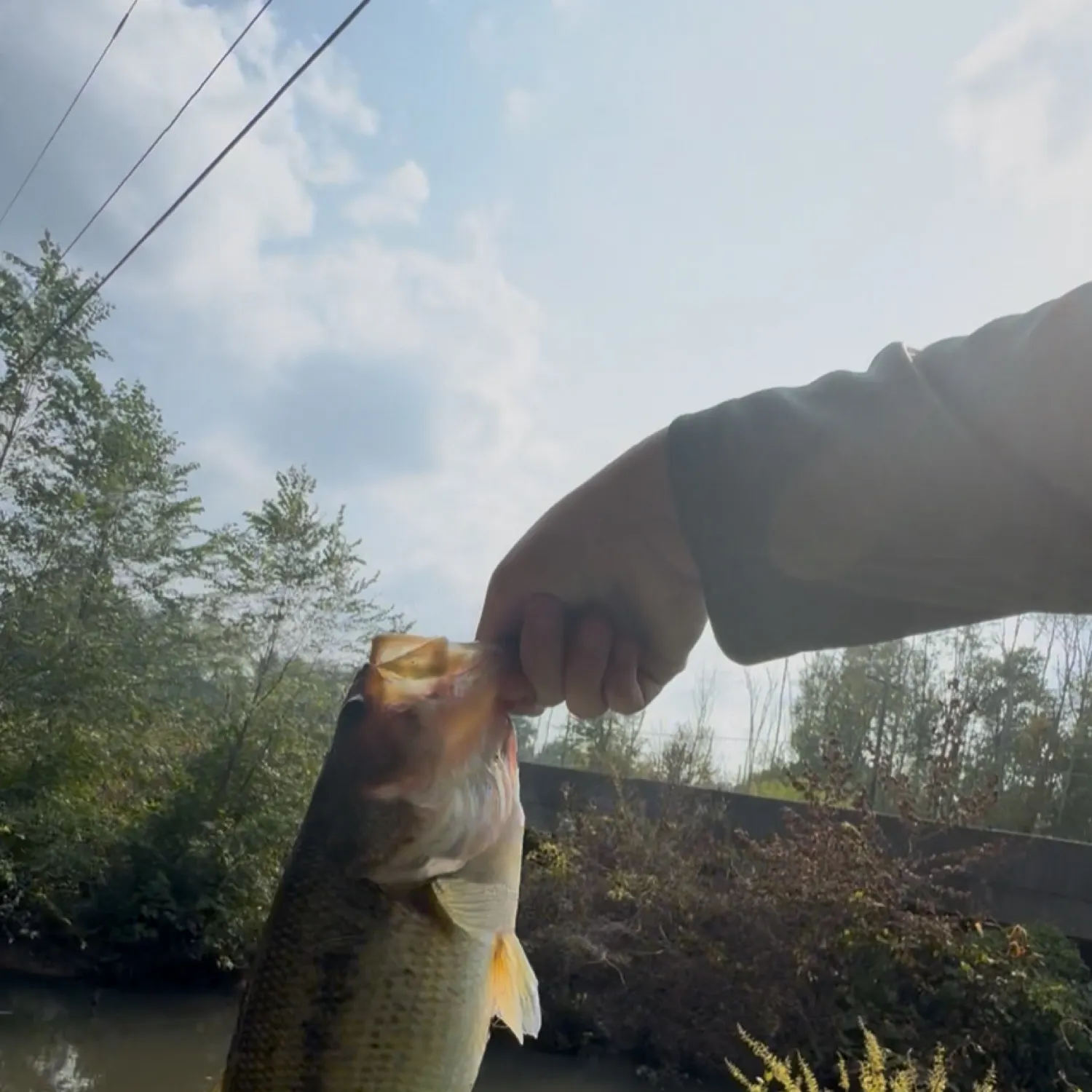
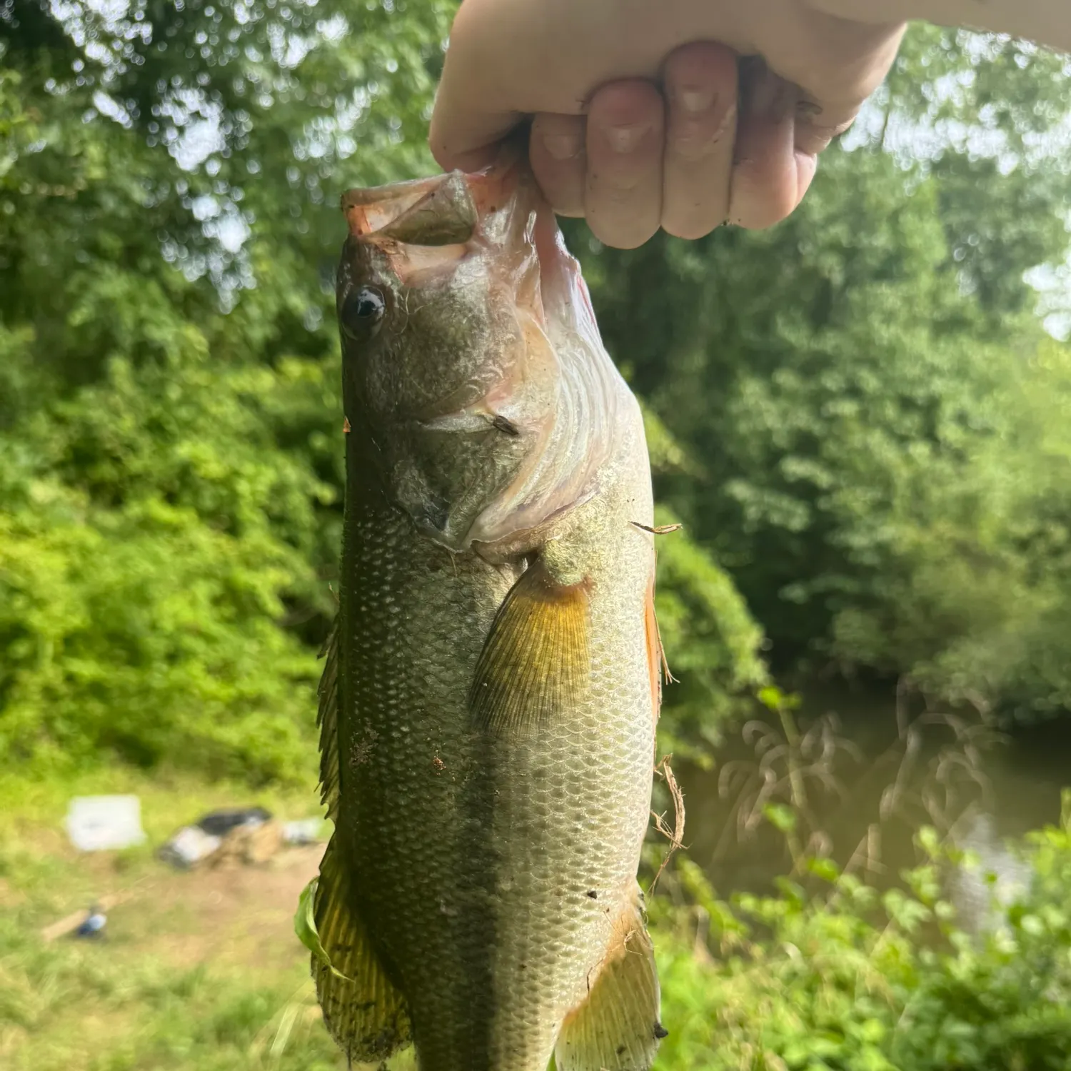
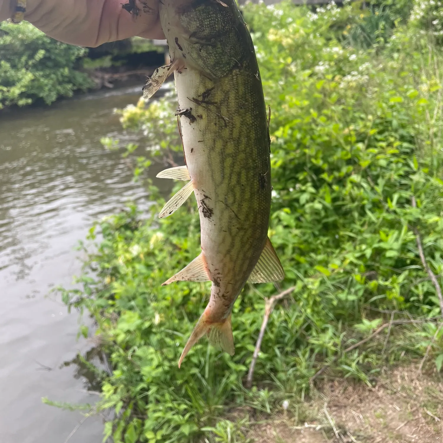
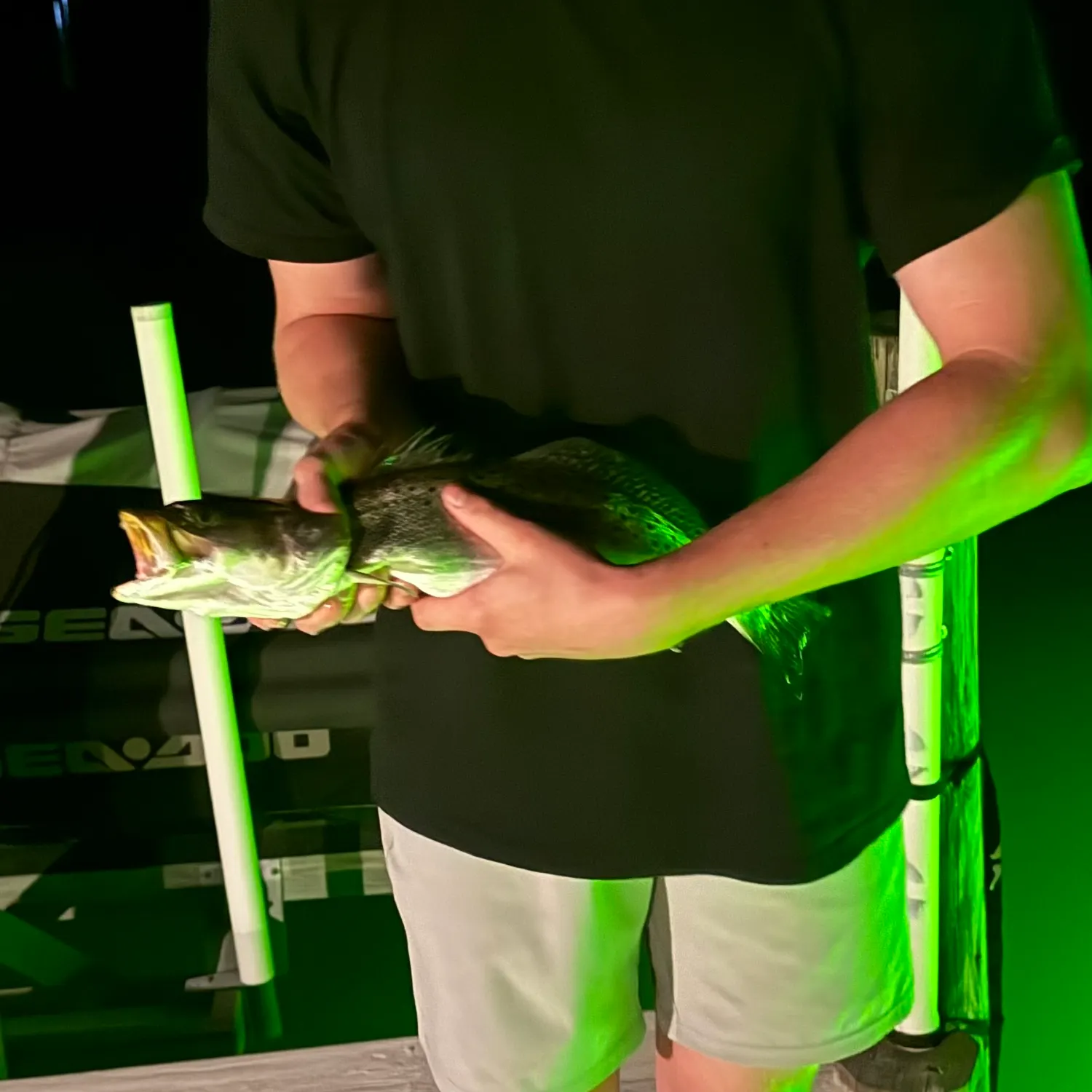
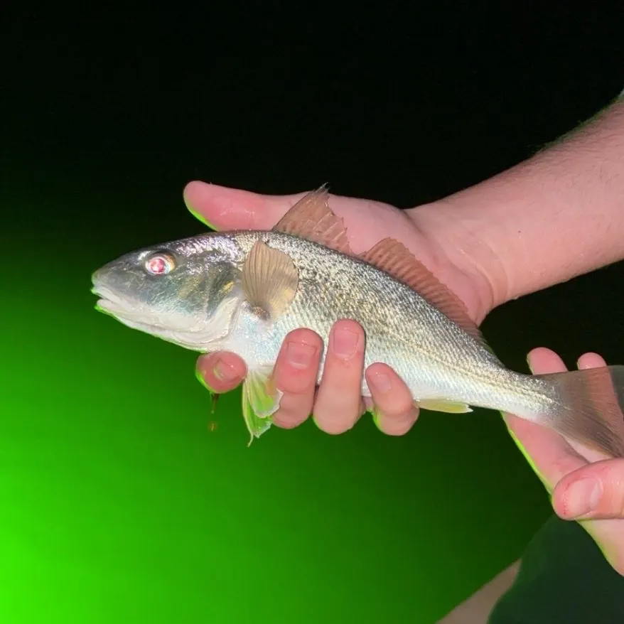
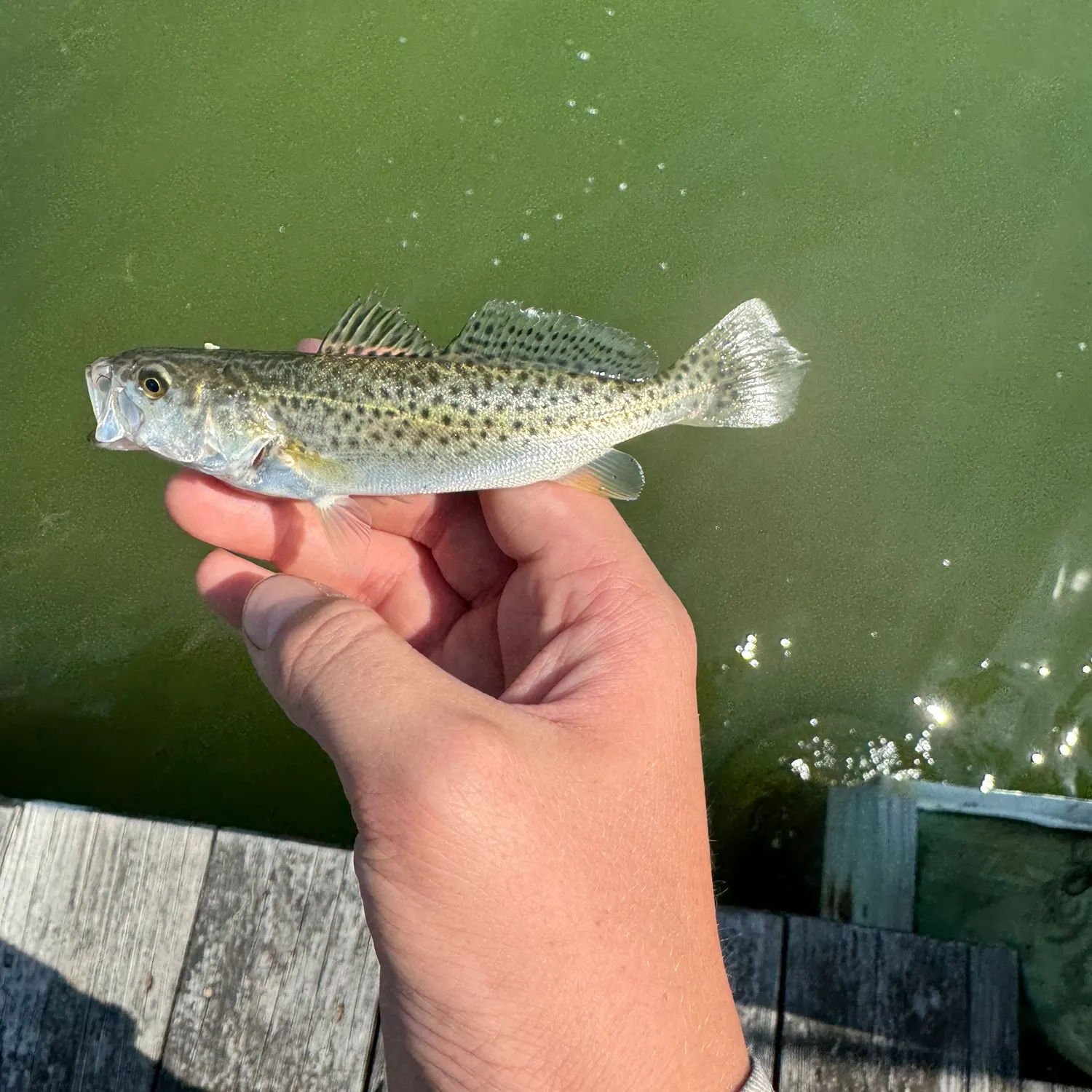
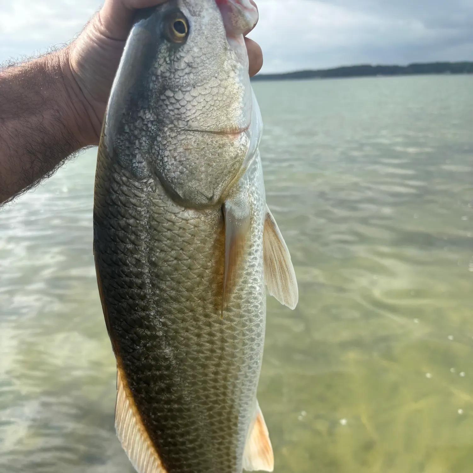
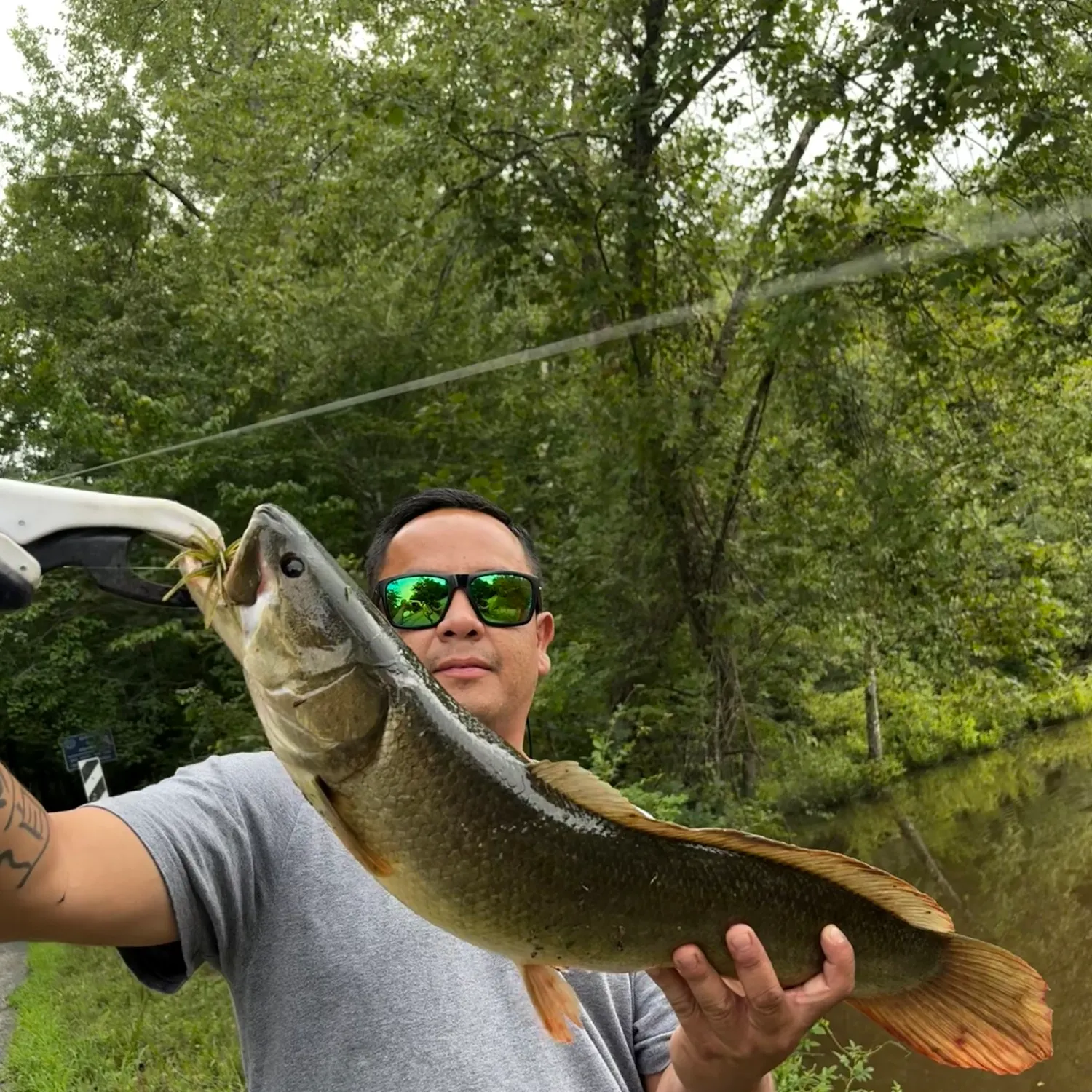
Latest White Stone fishing reports
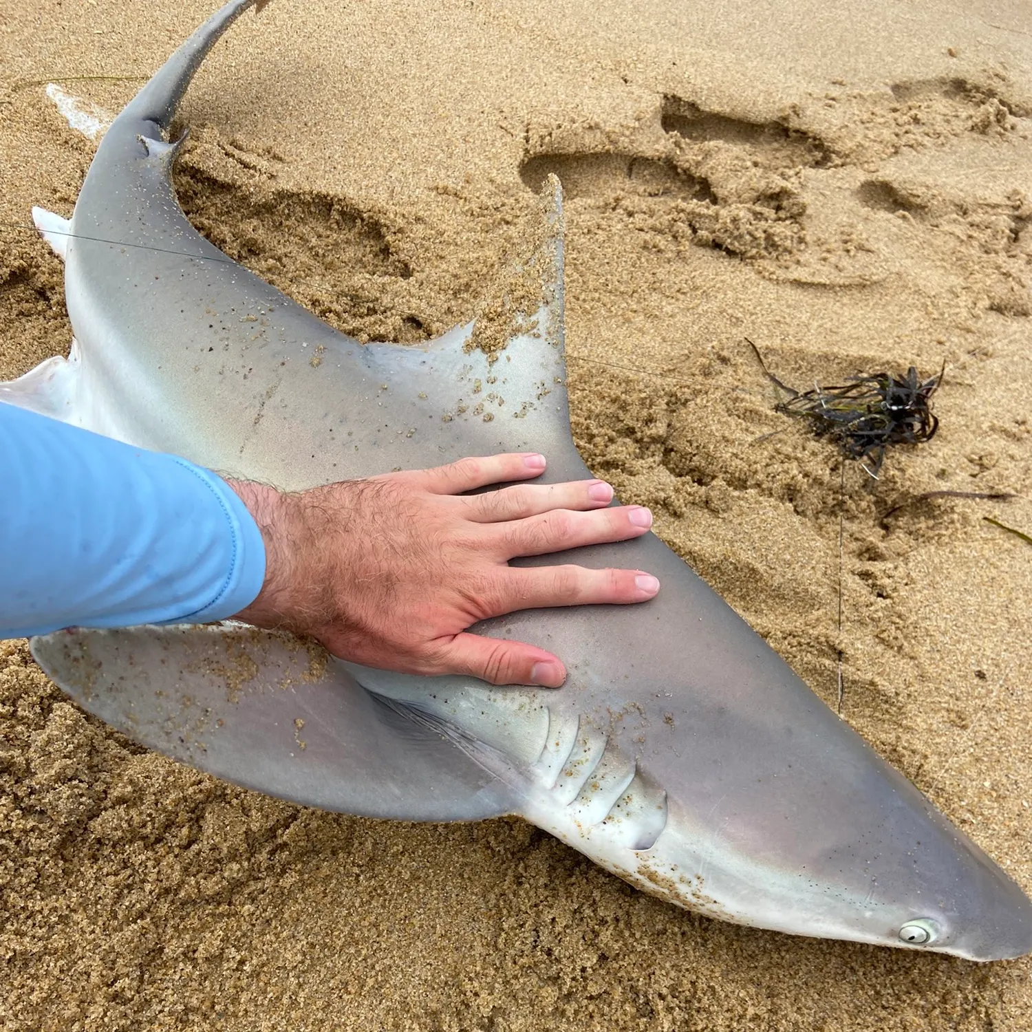
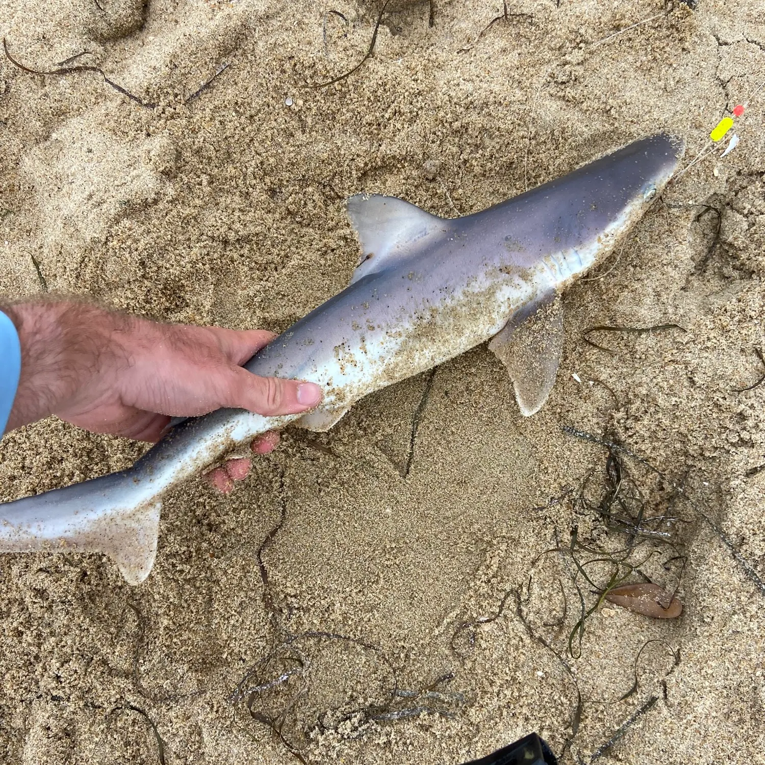
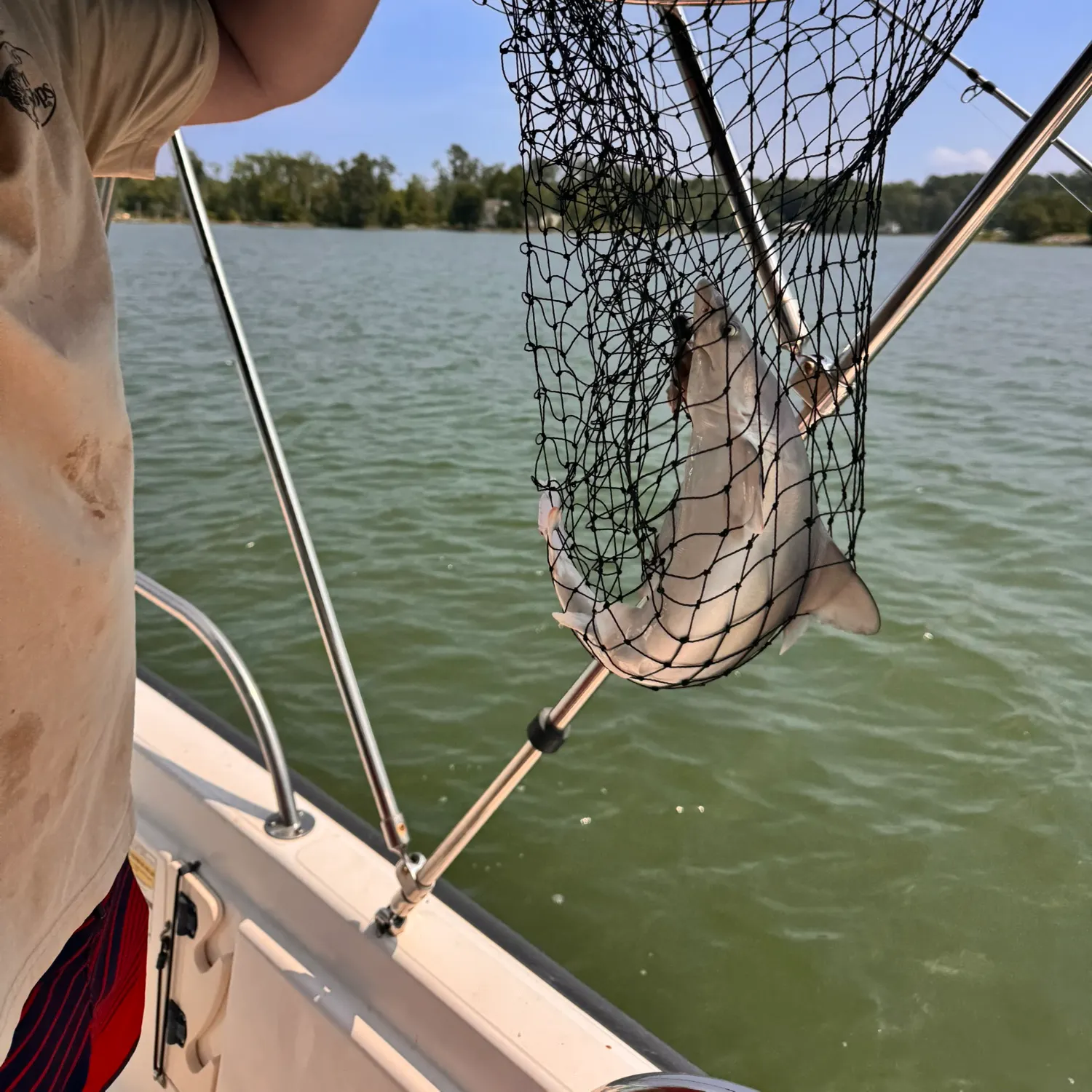
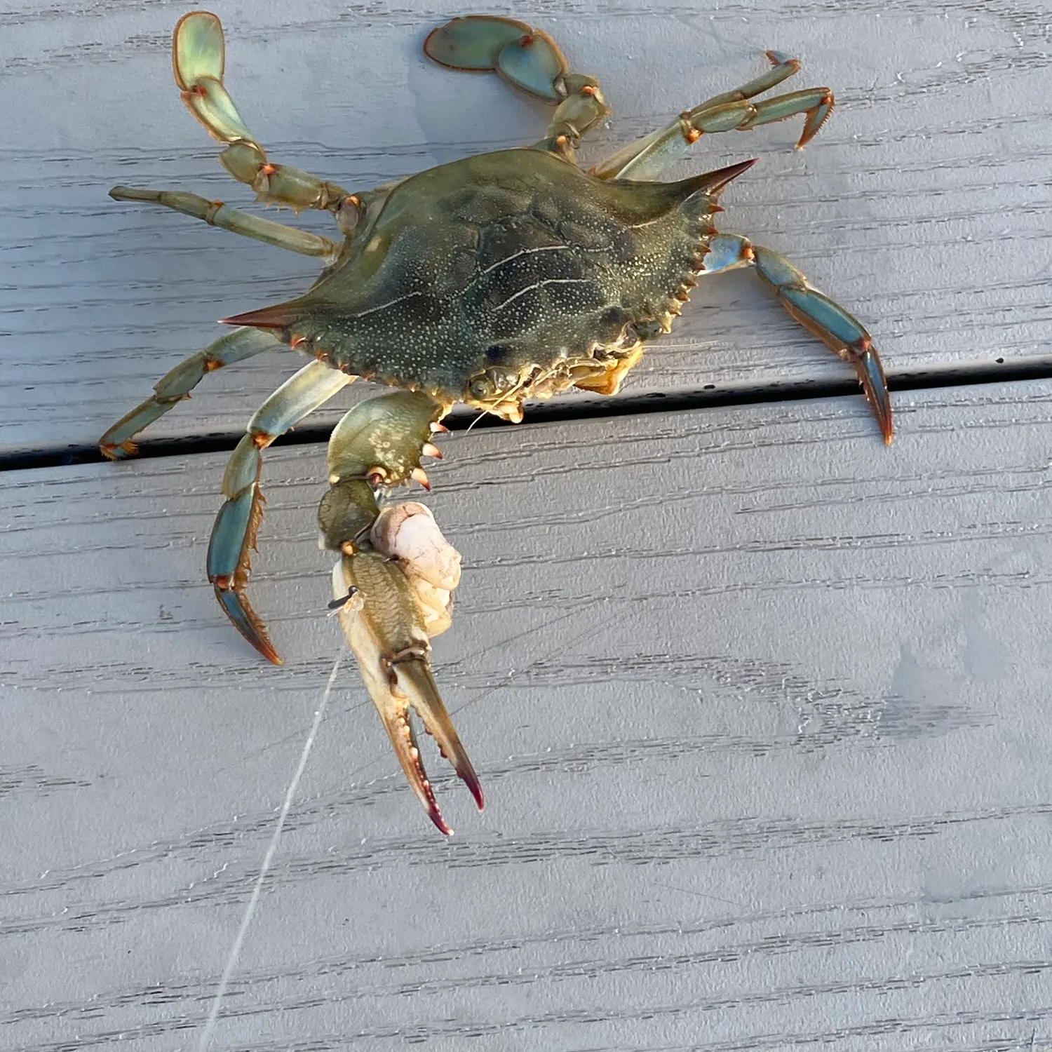
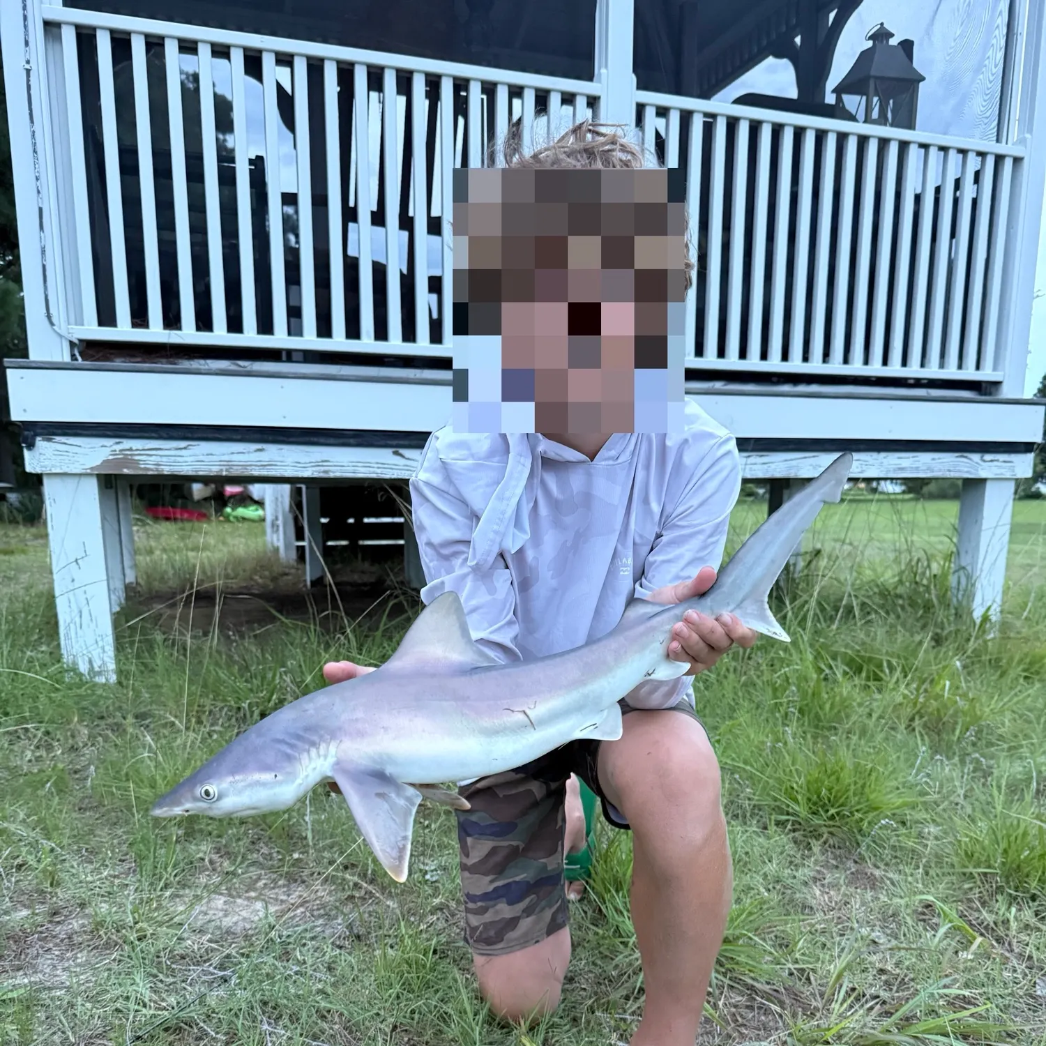
Atlantic sharpnose shark
Chesapeake Bay (South)
20 in · 1 lb

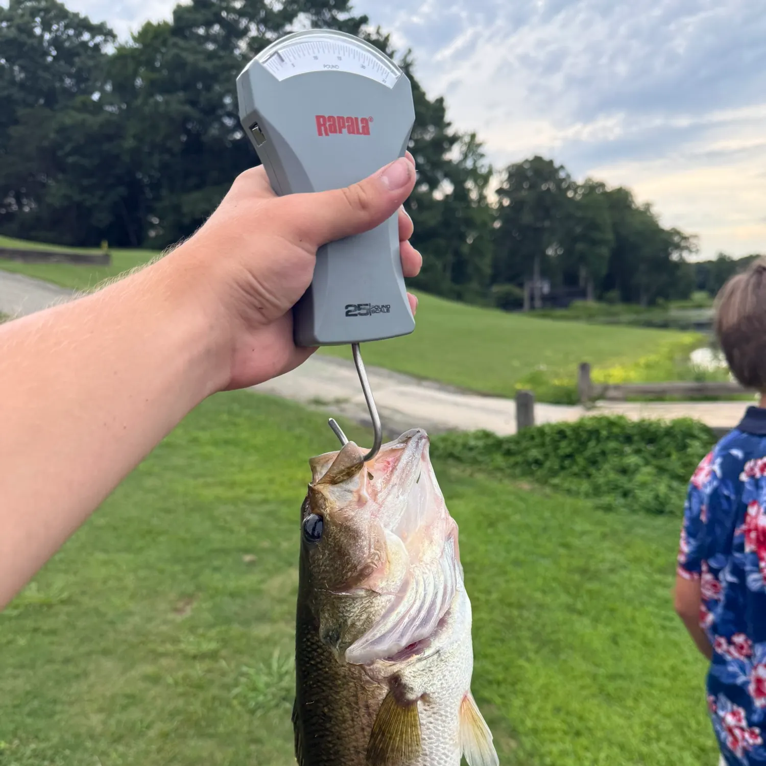
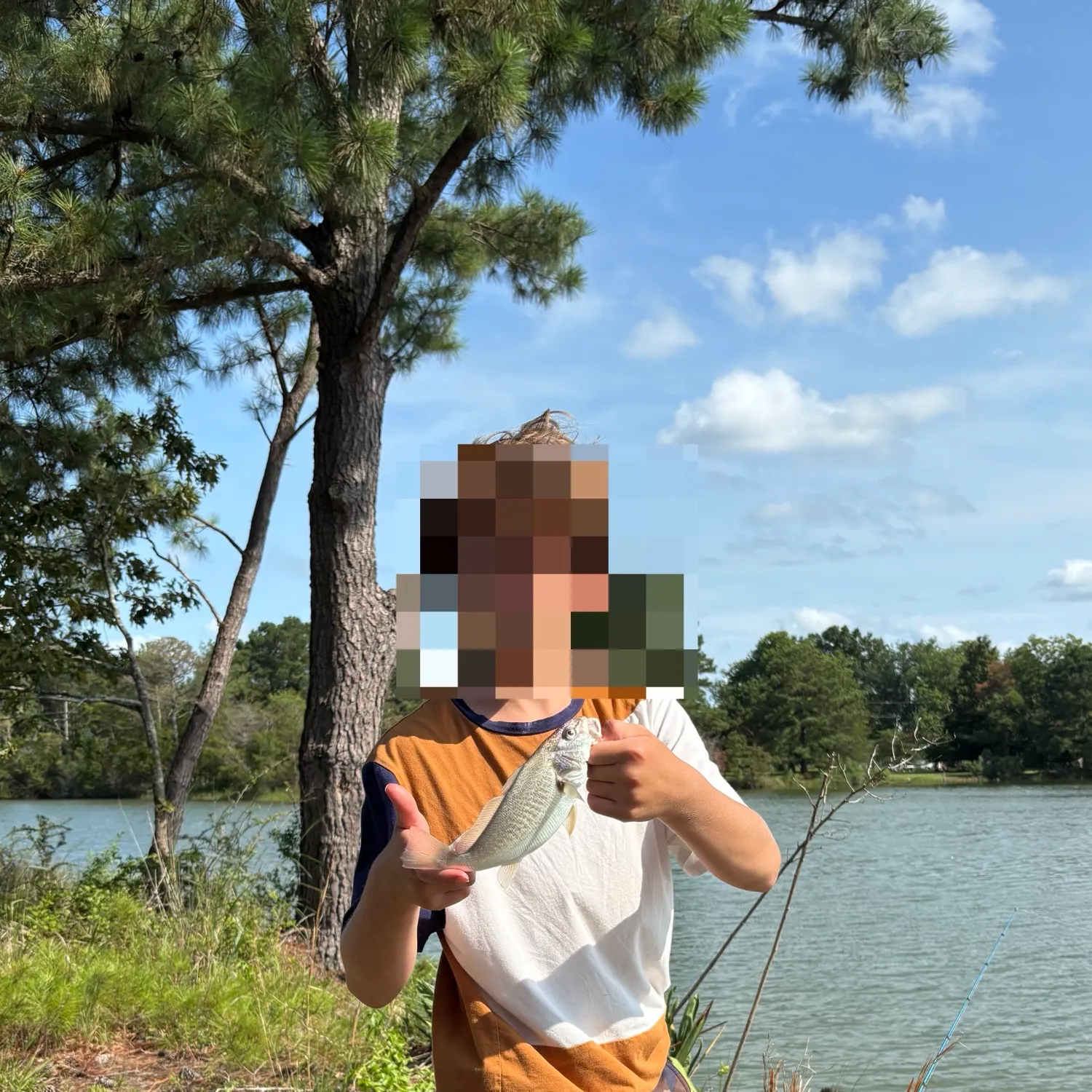
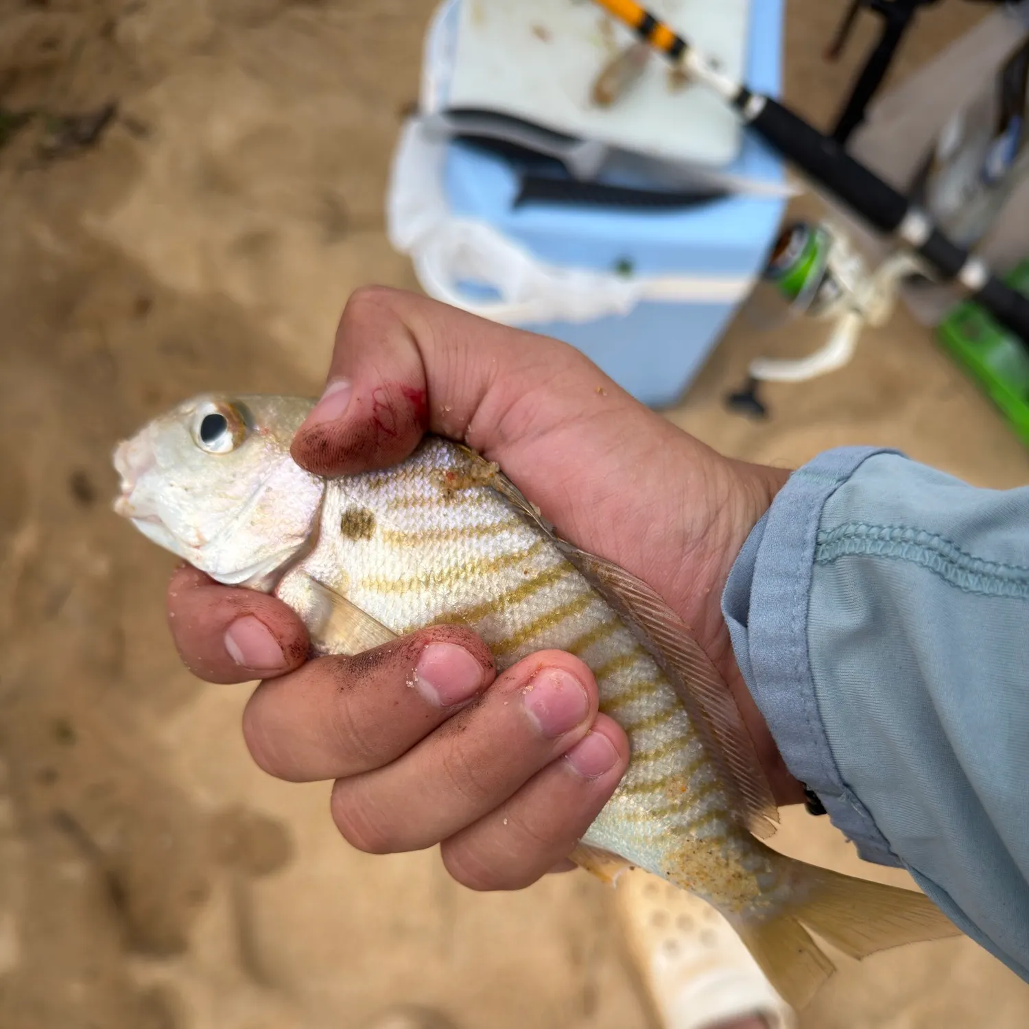
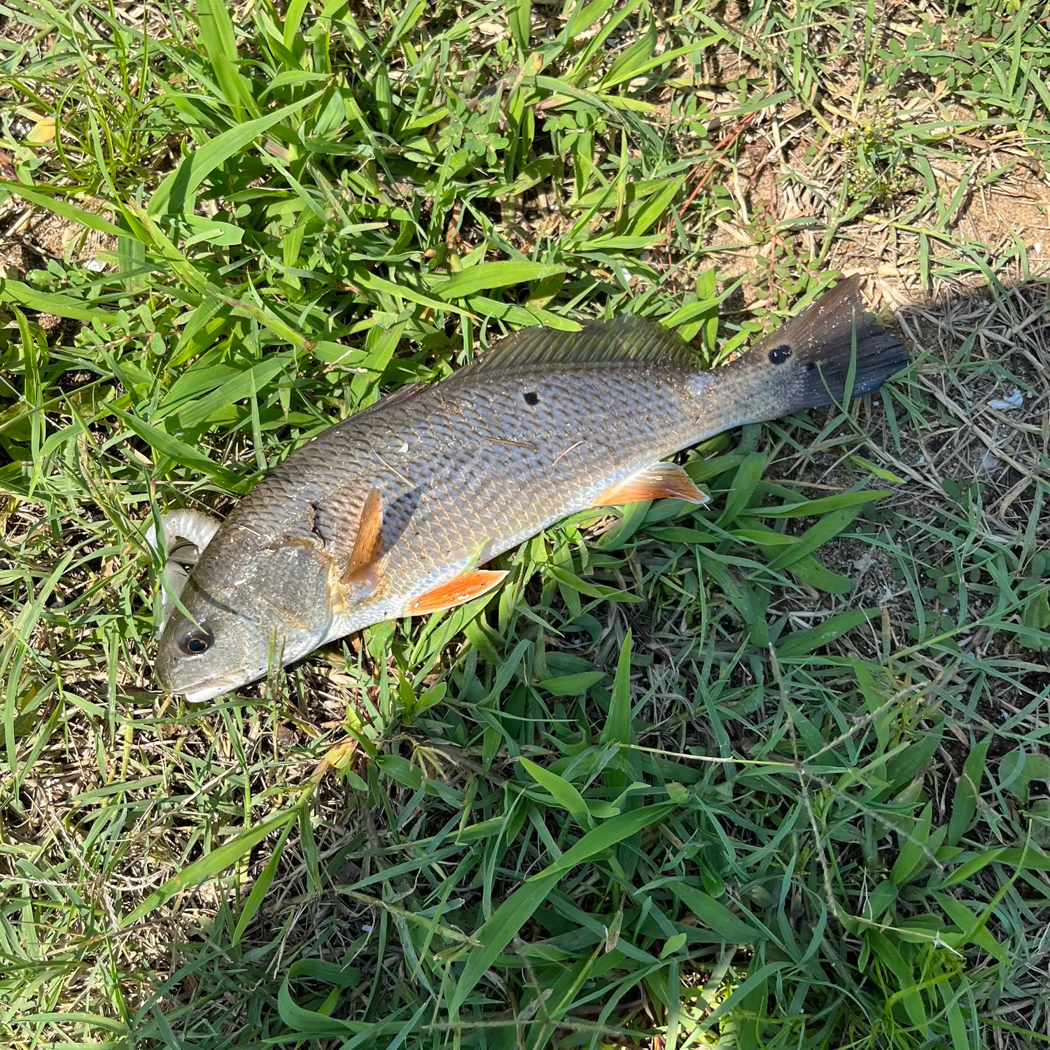
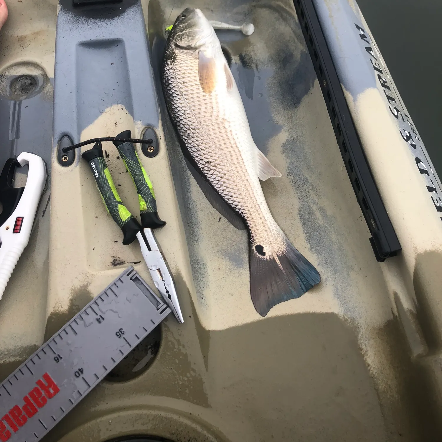
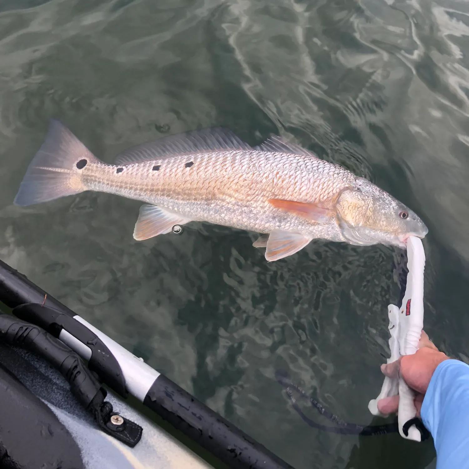
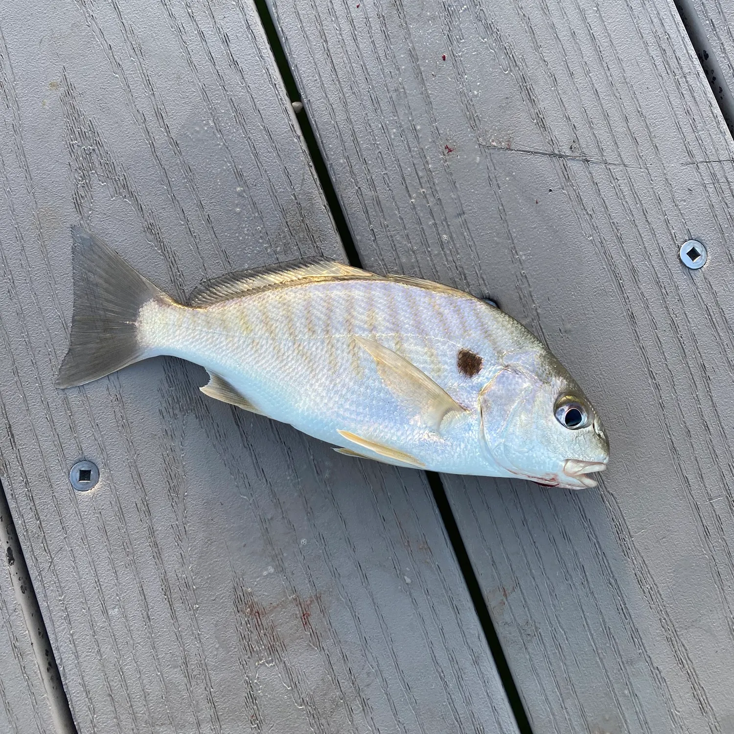
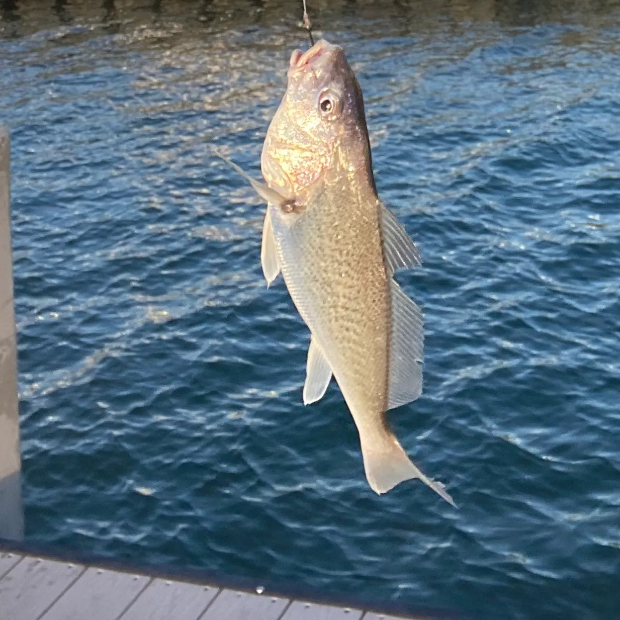
Atlantic croaker
length · weight

More catches in the app...
Continue browsing catches and catch locations in the Fishbrain app
Unlock fishing secrets in the app
Discover the best time to fish by species in your area with Bitetime™


Download Fishbrain and fish smarter
Unlimited access to the best fishing spot finder in the game. Get all the fishing intel you need to start catching more, and bigger, fish.
Free trial available