
Top fish species at Roberts Creek

Check which species have trophy potential in Roberts Creek
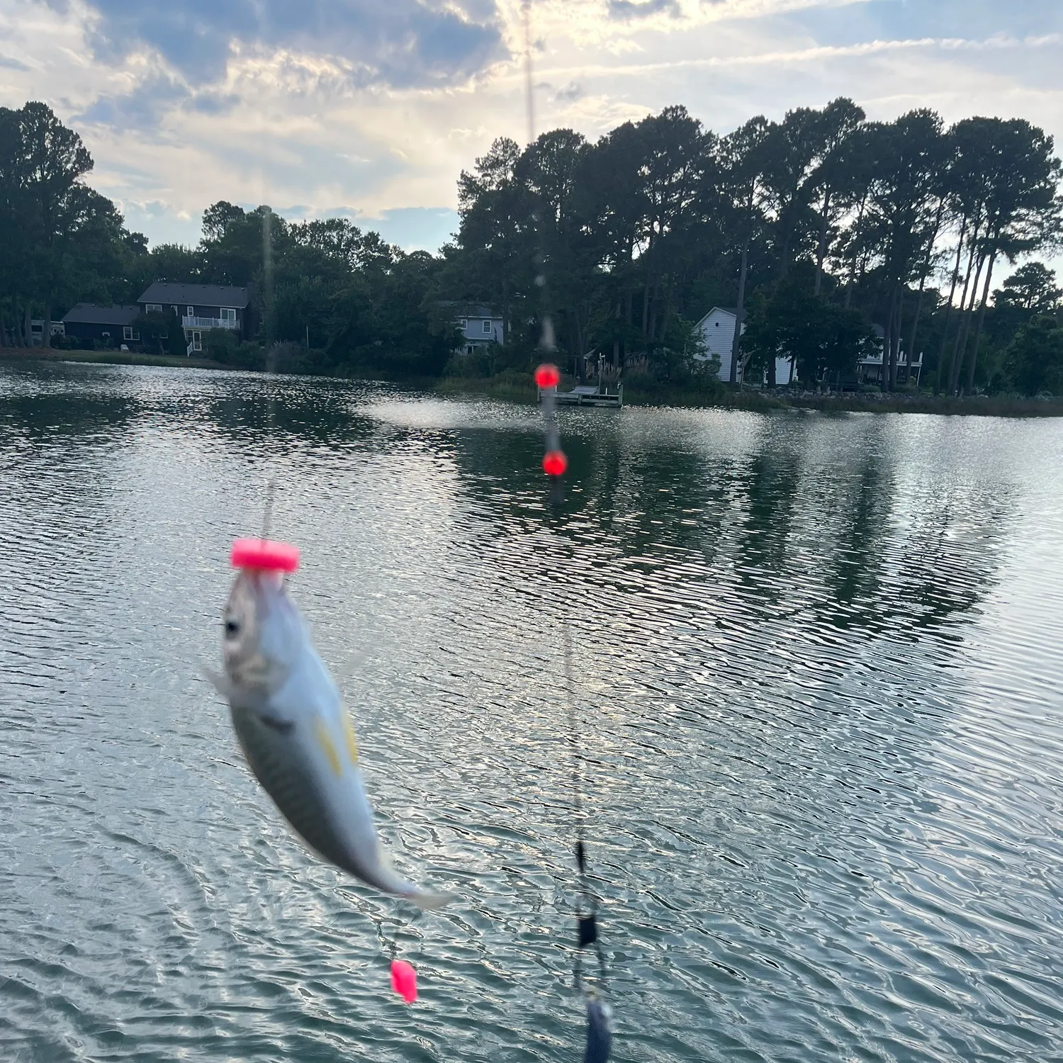
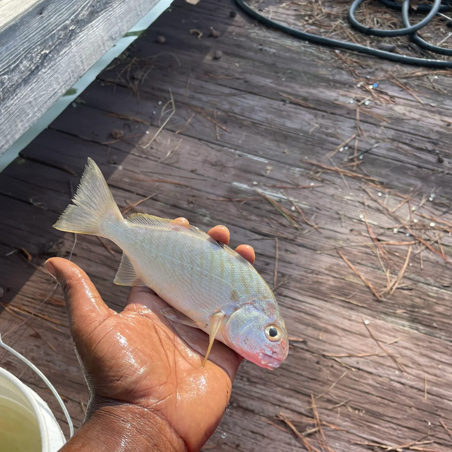
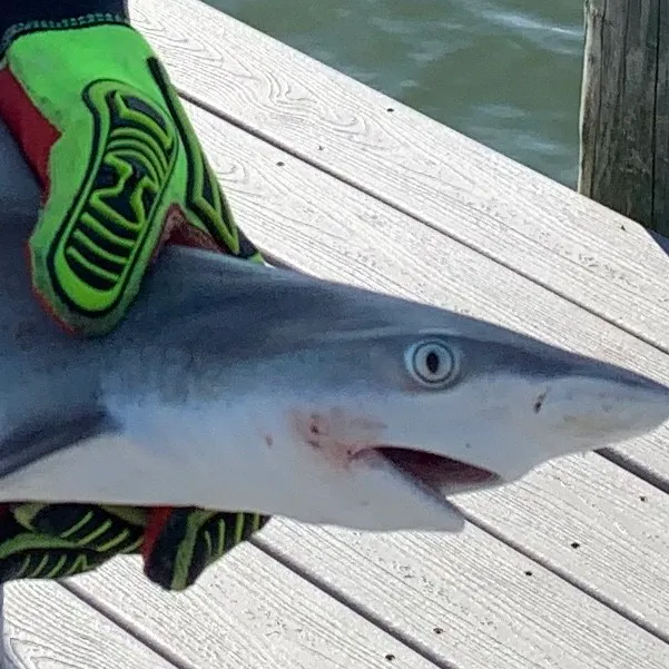
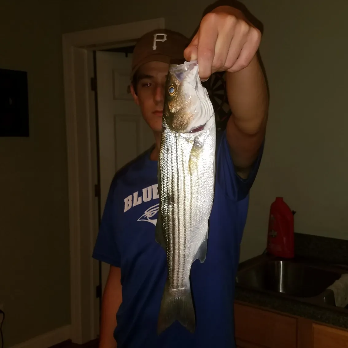
Roberts Creek fishing reports

Continue browsing catches and catch locations in the Fishbrain app
When are Striped Bass biting on Roberts Creek?
Learn what time of year and day to go fishing at Roberts Creek. Download Fishbrain today to look for new fishing spots, scout new fishing access, or prep for your next trip.

Fishing regulations at Roberts Creek, VA
Disclaimer: Always check local fishing regulations, water access rights and land ownership before fishing, regardless of any catches logged in that area by the Fishbrain community. Fishbrain has mapped millions of acres of government-owned land across the USA to help you identify potential fishing access, but you are responsible for ensuring compliance with all legal requirements.
Fishing regulations in Virginia can change throughout the year. Make sure to check this page before fishing for the most up to date rules and regulations for the current season. Local regulations govern when you can fish, the max size of the fish you can keep, how many fish you can keep, and more.
Regulations for top species
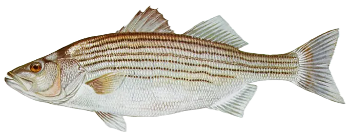
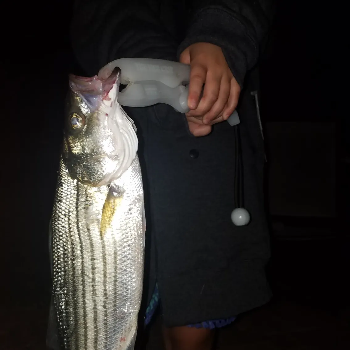
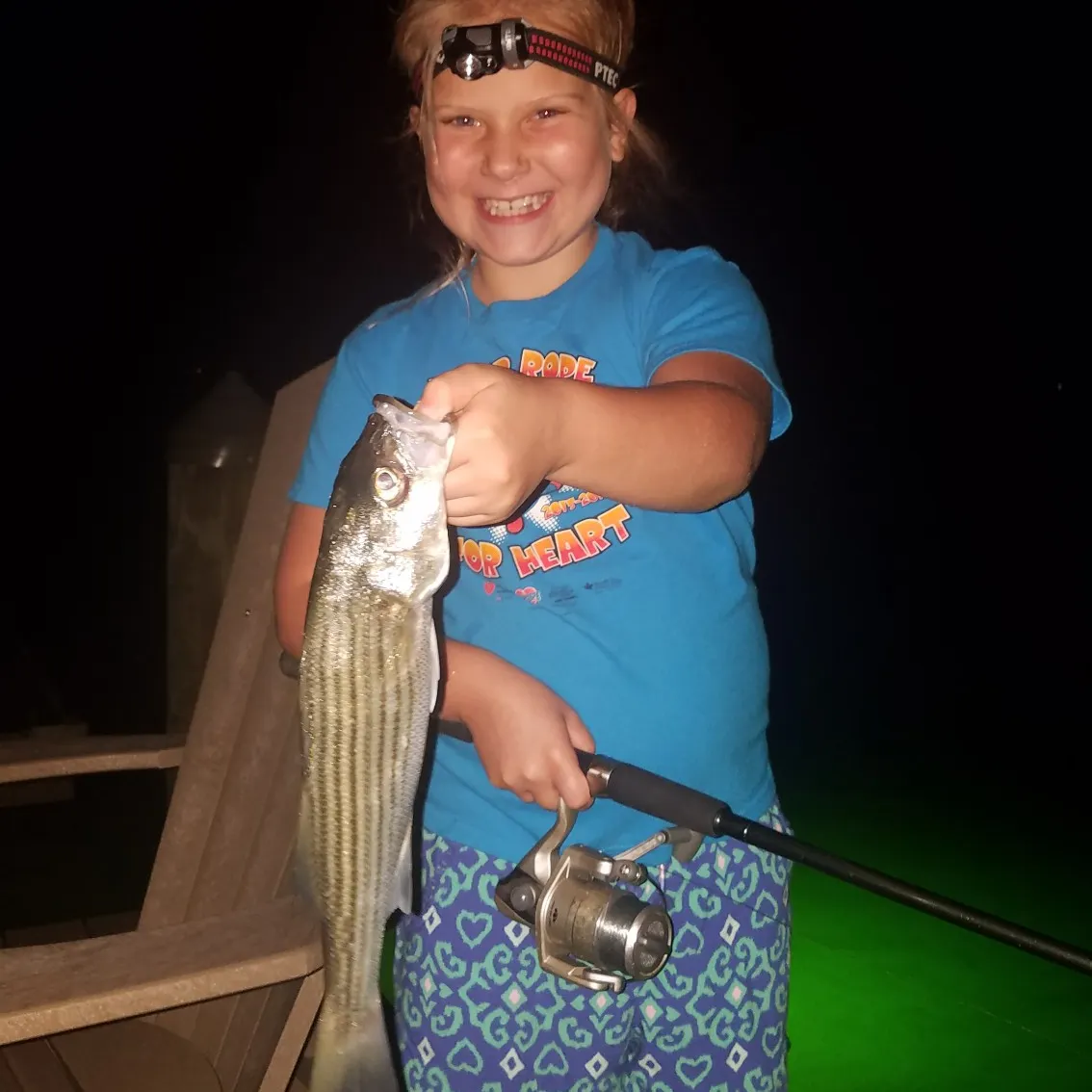
Striped bass
Bag limit1
The maximum number of individual fish legally harvested per harvester per day. Bag limits are only for properly licensed anglers actively harvesting the species. People who are not actively harvesting or are not properly licensed (if a license is required) may NOT be counted for the purpose of bag limits.
Min size28" (Total Length)
No person shall harvest any individual fish less than the minimum size limit.
Total length means the straight line distance from the most forward point of the head with the mouth closed, to the farthest tip of the tail with the tail compressed or squeezed, while the fish is lying on its side.
Max size31" (Total Length)
No person shall harvest any individual fish greater than the maximum size except as permitted.
Total length means the straight line distance from the most forward point of the head with the mouth closed, to the farthest tip of the tail with the tail compressed or squeezed, while the fish is lying on its side.
Restrictions & requirements
NJ No Gaff
It is prohibited for any person to gaff striped bass when fishing recreationally.
Additional information
Regulations provided here are for the Virginia Coastal Season.
Buggs Island Lake/Kerr Reservoir including the Staunton (Roanoke) River and its tributaries to Leesville Dam and the Dan River and its tributaries to the Union Street Dam (Danville)
October 1–May 31: 2 per day in the aggregate (combined) No striped bass or hybrid
striped bass less than 20 inches or greater than 26 inches
June 1–September 30: 4 per day in the aggregate (combined) No length limit
Claytor Lake and its tributaries
September 16–June 30: 2 per day in the aggregate, no striped bass or hybrid bass
less than 20 inches
July 1–September 15: 4 per day in the aggregate; no length limit
Lake Gaston
4 per day in the aggregate (combined)
October 1–May 31: No striped bass or hybrid striped bass less than 20 inches
June 1–September 30: No length limit
Smith Mountain Lake and its tributaries, including the Roanoke River upstream to Niagara Dam 2 per day in the aggregate (combined)
November 1–May 31: No striped bass 30 to 40 inches
June 1–October 31: No length limit
Striped bass in the Meherrin, Nottoway, Blackwater (Chowan Drainage), North Landing and Northwest rivers and their tributaries plus Back Bay
CREEL AND LENGTH LIMIT = No possession
GEOGRAPHIC EXCEPTIONS = None apply
CREEL OR LENGTH LIMITS = None apply
Anadromous (coastal) striped bass above the fall line in all coastal rivers of the Chesapeake Bay and Crane Lake (City of Suffolk)
CREEL AND LENGTH LIMIT = Creel and length limits shall be as set by the Virginia Marine Resources Commission for recreational fishing in tidal waters
GEOGRAPHIC EXCEPTIONS = None apply
CREEL OR LENGTH LIMITS FOR EXCEPTIONS = None apply
The Virginia Department of Wildlife Resources (VDWR) maintains a database of wildlife locations, including threatened and endangered species, trout streams, and anadromous fish waters that may contain information not documented in this letter. Their database may be accessed https://services.dwr.virginia.gov/fwis/ or contact Amy Martin at 804-367-2211 or amy.martin@dwr.virginia.gov.
Synonyms
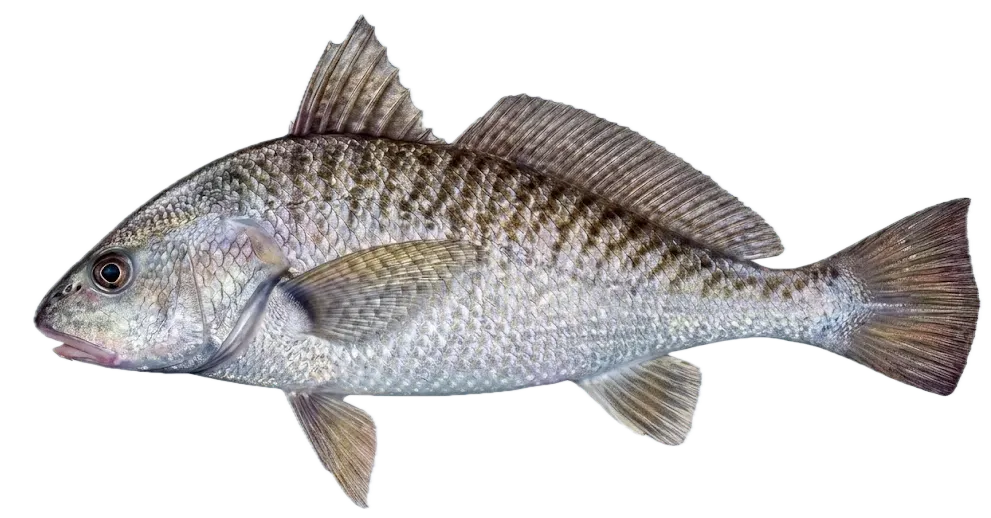
Atlantic croaker
Bag limit50
The maximum number of individual fish legally harvested per harvester per day. Bag limits are only for properly licensed anglers actively harvesting the species. People who are not actively harvesting or are not properly licensed (if a license is required) may NOT be counted for the purpose of bag limits.
Restrictions & requirements
Snagging
Harvest of this species by snagging (snatch hooking) is prohibited.
Additional information
Edibility
Synonyms
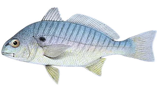
Spot croaker
Bag limit50
The maximum number of individual fish legally harvested per harvester per day. Bag limits are only for properly licensed anglers actively harvesting the species. People who are not actively harvesting or are not properly licensed (if a license is required) may NOT be counted for the purpose of bag limits.
Restrictions & requirements
Snagging
Harvest of this species by snagging (snatch hooking) is prohibited.
Additional information
Edibility
Synonyms


Free trial available