
Top fish species at South Fork John Day River
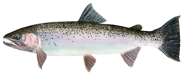

Check which species have trophy potential in South Fork John Day River

South Fork John Day River fishing reports
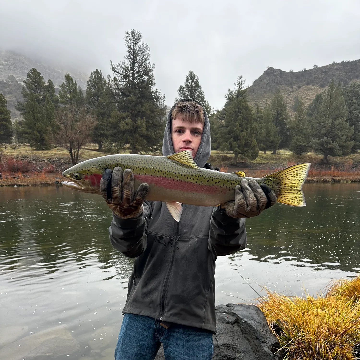
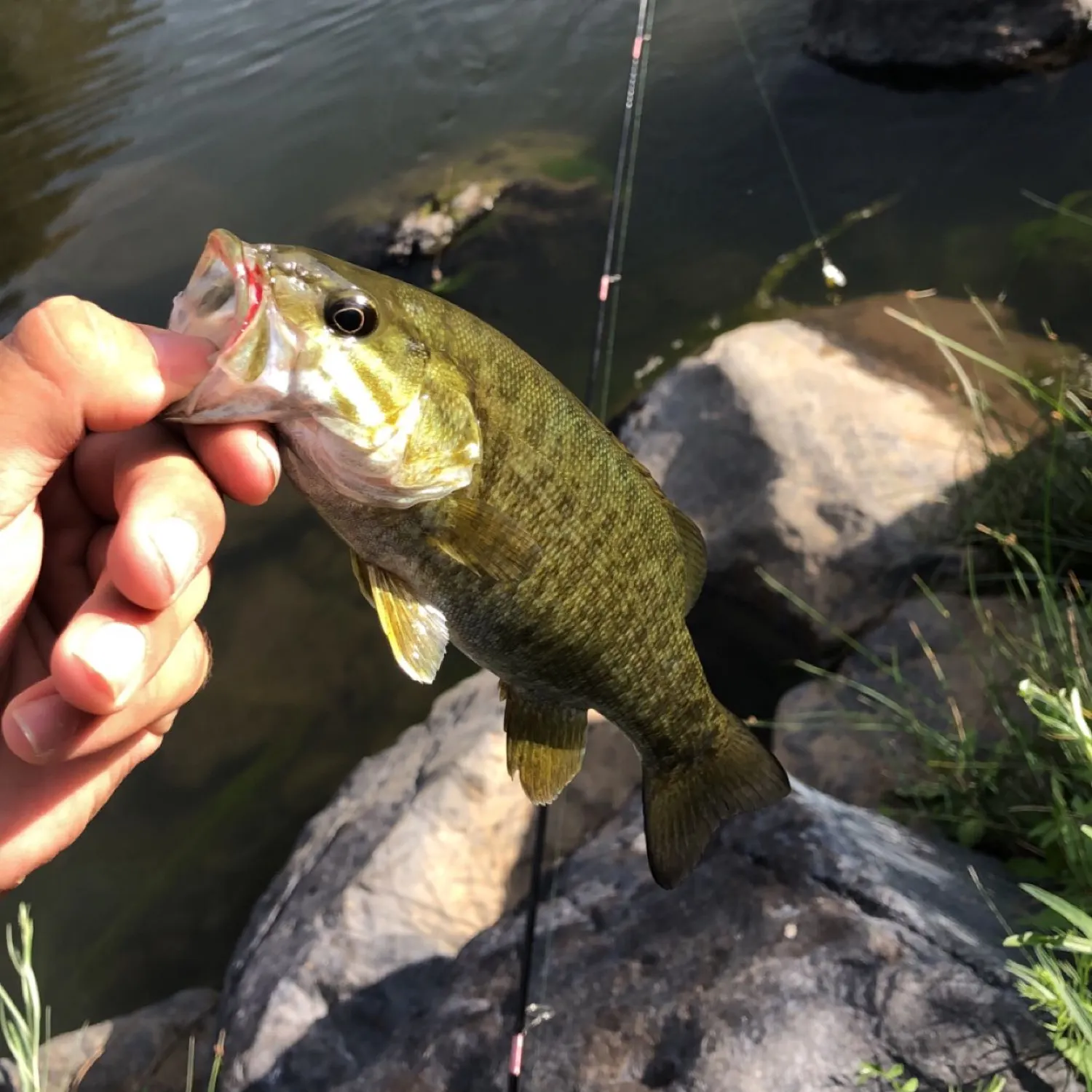
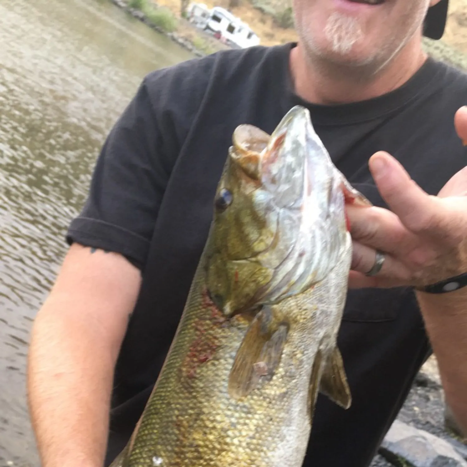


Log your catch and check out other catches from the community in the Fishbrain app.
Fishing regulations at South Fork John Day River, OR
Disclaimer: Always check local fishing regulations, water access rights and land ownership before fishing, regardless of any catches logged in that area by the Fishbrain community. Fishbrain has mapped millions of acres of government-owned land across the USA to help you identify potential fishing access, but you are responsible for ensuring compliance with all legal requirements.
Fishing regulations in Oregon can change throughout the year. Make sure to check this page before fishing for the most up to date rules and regulations for the current season. Local regulations govern when you can fish, the max size of the fish you can keep, how many fish you can keep, and more.
Regulations for top species
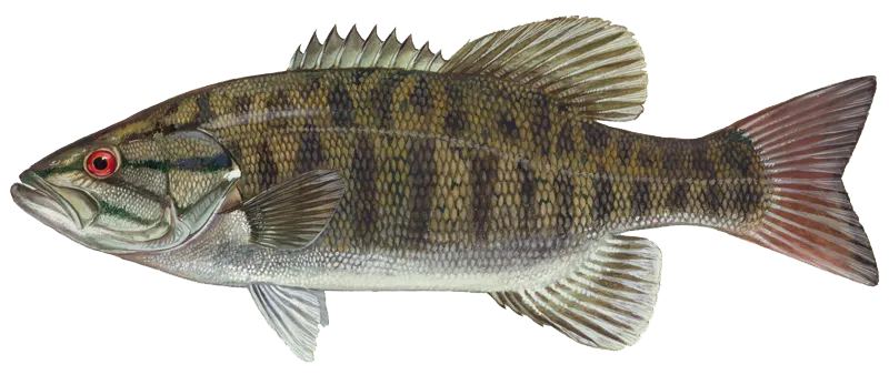
Smallmouth bass
Bag limit5
The maximum number of individual fish legally harvested per harvester per day. Bag limits are only for properly licensed anglers actively harvesting the species. People who are not actively harvesting or are not properly licensed (if a license is required) may NOT be counted for the purpose of bag limits.
Aggregate limit5
The maximum number of individual fish across an aggregate group of species legally harvested per harvester per day.
Memorable / trophy limits3 > 15
The maximum number of trophy individuals legally harvested per harvester per day. A trophy is any individual of a length greater than the max size limit. Trophy individuals are included in the daily bag limit unless stated otherwise.
Restrictions & requirements
OR Using devices to land fish
It is unlawful to use gurdies, winches or reels affixed to a boat to land a fish.
OR Use of drones and radios
It is unlawful to use drones/ radio controlled boats/ or other unmanned vehicles when angling or to aid in angling.
OR Snagging
It is unlawful to snag or attempt to snag gamefish.Additional anti-snagging gear restrictions:Fishing gear restricted to artificial fly, lure, or bait with one single-point hook.Unless otherwise specified, hook must measure 3/4 inch or less at the gap.Hook must be attached to or below any lure or bait.Weight cannot be less than 18 inches above the lure or bait.Consult exceptions to zone regulations for which leader length applies:Leader length: 18-36 inches or less than or equal to 6 feet
OR Unlawful Taking & Retention
It is unlawful to fish for or take and retain any legal species while possessing on board any species not allowed to be taken in that area at that time.
OR Use of More than One Rod or Line
It is unlawful to use more than one rod or line when angling except:with a Two-Rod Validation as a youth anglers (under 12 years of age) when angling outside of three miles from shore for offshore pelagic species, any number of rods or lines are allowed only if no species other than offshore pelagic species have been retained.
OR Ice hole size
Angling through a human-made ice hole larger than 12 inches in diameter or length is unlawful.
OR Use of chum
Taking or attempting to take any fish by chumming, or knowingly angle with the aid of chum is unlawful except when angling for offshore pelagic species outside of three miles from shore if no species other than offshore pelagic species have been retained.
OR Buying or selling fish and fish parts
Buying or selling fish or shellfish, or parts thereof, that were caught or taken for personal use. Except the skeletal remains of ocean food fish may be sold; and eggs from ocean-caught salmon may be sold to a licensed fish or bait dealer.
OR Fish with radio tags
It is unlawful to take a fish with a radio tag (identified by an antenna trailing from its mouth or body) except in the mainstem Columbia River and its tributaries, when consistent with all other applicable laws and regulations.
OR Fishways weirs and fish traps
It is unlawful to trespass on a fishway, weir or fish trap, or angle within 200 feet above and 200 feet below a weir or the entrance/exit of a private or public fishway or fish trap.
OR Transport of live fish and egs
Bringing live fish or live eggs into the state, transporting them overland, or from one waterbody to another without a permit from ODFW is unlawful.
OR Salmon and Steelhead Bobber Rules
When fishing for salmon and steelhead fishing gear restricted to artificial fly, lure, or bait with one single-point hook. Salmon/steelhead bobber angling gear mustinclude a bobber and leader no longer than36 inches. Any weight is to be no more than 36 inchesfrom the hook when suspended vertically. The bobber must suspend the weight, leader, and terminal gear, not allowing it to rest on the river bottom.
OR Bait Restriction
The following may NOT be used as bait:• Live fish. Except live nongame fish maybe used in the ocean, bays and tidewaters when taken from the same waters in which they will be used as bait.• Goldfish. Nor can they be in an angler's possession while angling.• Lamprey.• Live crayfish.• Live leeches. Nor can they be in an angler'spossession while angling.
OR 3 Hook Maximum
No more than three hooks may be used when angling, except herring jigs may be used for marine food fish species.• A double or treble point hook is classified asone hook.• When angling with two rods (whereallowed and with a Two-Rod Validation), the general hook rule applies to each rod.
OR Salmon, Steelhead, Halibut, Sturgeon Hooks
Salmon, Steelhead, Halibut and SturgeonPacific halibut: no more than two hooks may be used.Sturgeon:no more than one single point barbless hook may be used.Ocean salmon: no more than two single point barbless hooks when angling for salmon in the ocean, or when angling for other ocean species with salmon or steelhead onboard.Salmon/Steelhead (except ocean): Single-point hooks larger than 1inch gap and multiple point hooks larger than 9/16 inch gap are prohibited. All weight, if not part of conventional lure, must be attached on the fishing line between the lure and the end of the rod. With hooks larger than 5/8 inch gap or multiple point hook, weight must be attached 18 inches or more above the uppermost hook.
OR Daylight Hours
It is unlawful to angle for or take salmon, shad, steelhead, sturgeon, trout or whitefish except during daylight hours (one hour before sunrise until one hour after sunset). Unless there is an exception for specific waterbodies.
OR Game Fish Unlawful Methods
It is unlawful to take game fish other than those hooked inside the mouth. It is unlawful to: snag, spear, gaff, net, trap, club, shoot or ensnare any freshwater game fish. A hand-held landing net may be used to land a legally hooked fish. A gaff may not be used to land salmon, steelhead or other freshwater game fish in inland or ocean fisheries.
OR Removal of eggs
It is unlawful to remove eggs from any salmon, steelhead or sturgeon without retaining the carcass while in the field.
OR Field dressing of mutilating
It is unlawful to possess game fish in the field that have been dressed or mutilated so that size, species or fin clip cannot be determined. Fish may be dressed when the angler has reached their automobile (or principle means of land transportation) and has finished angling for the day.
OR Dip Net, Cast Net, Angling, Herring Jigs ONLY
May only be taken by dip net, cast net, angling and herring jigs.
OR Angling with Single Line or Spear
May be taken by angling with a single line, no more than 2 hooks; and by spear.
OR Angling Tag in Possession
All anglers need a valid Combined Angling Tag (authorizing harvest of 20 salmon or steelhead per year) in possession to angle for salmon, steelhead, sturgeon and halibut.Harvested adult wild salmon or steelhead must be immediately recorded on the Combined Angling Tag.
Additional information
Synonyms
Location regulation notes
Location specific information
Free trial available