
Top fish species at Ashuelot River


See all species in the Fishbrain app

Check which species have trophy potential in Ashuelot River
Ashuelot River fishing reports


More catches in the app...
Continue browsing catches and catch locations in the Fishbrain app
Fishing regulations at Ashuelot River, NH
Disclaimer: Always check local fishing regulations, water access rights and land ownership before fishing, regardless of any catches logged in that area by the Fishbrain community. Fishbrain has mapped millions of acres of government-owned land across the USA to help you identify potential fishing access, but you are responsible for ensuring compliance with all legal requirements.
No regulations for this area yetWe are working on adding regulations to your area. Please contact your regulation provider and ask them to support Fishbrain.
Regulations for
42°59′55.8″N 72°18′32.1″W

FAQ about Ashuelot River fishing
the Ashuelot River is a stream located in Cheshire County, New Hampshire, United States. It is also intersecting with Sullivan County, New Hampshire. Its coordinates are:
42°59′55.8″N 72°18′32.1″W
.Find the best fishing spots on the Ashuelot River by looking at where other anglers have caught fish. This can easily be done in the where it is also possible to see big fish potential and how good fishing is right now along with Garmin® depth maps.
The most common species in the Ashuelot River are:
- Smallmouth bass - 23 members reported to have caught this fish
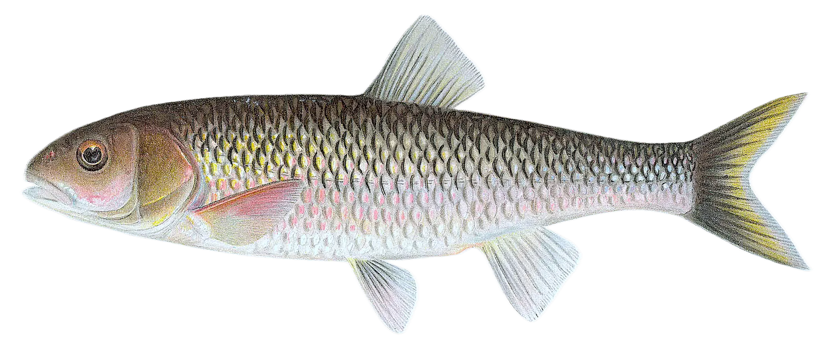
- Fallfish - 25 members reported to have caught this fish
- Redbreast sunfish - 9 members reported to have caught this fish
The latest Ashuelot River fishing reports are:
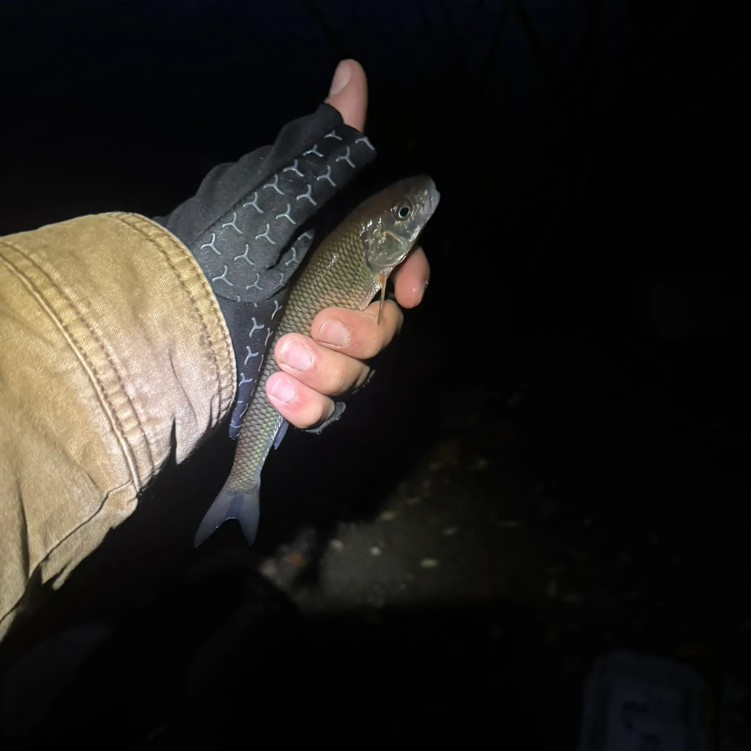
- @declanbagster reported a nice Fallfish.
- @nickyfishesNE reported a nice Fallfish.
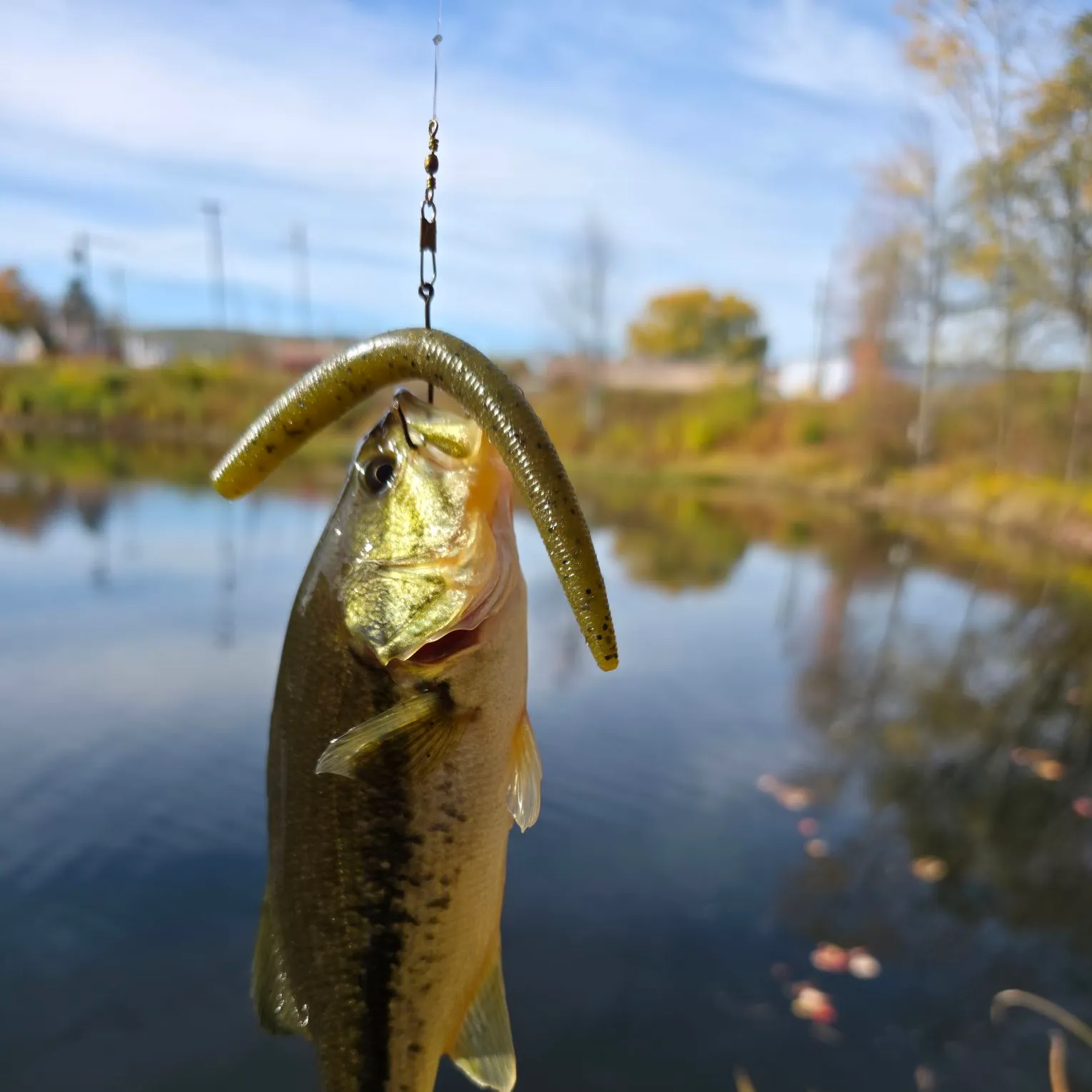
- @jacobhuppe reported a nice Largemouth bass.
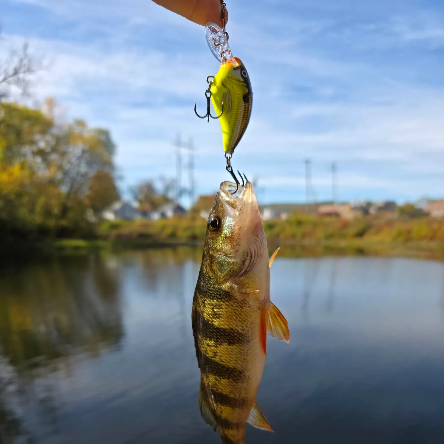
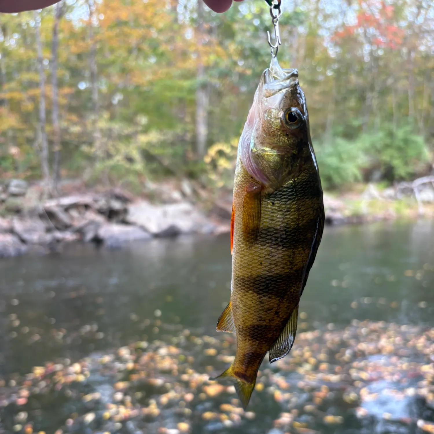
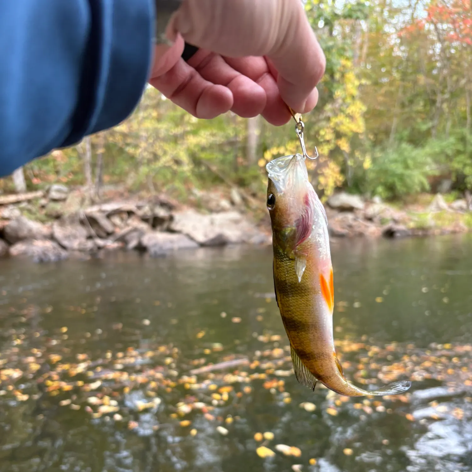
- @jacobhuppe reported a nice Yellow perch.
- @MD_NH_Fishing reported a nice Yellow perch.

Download Fishbrain and fish smarter
Unlimited access to the best fishing spot finder in the game. Get all the fishing intel you need to start catching more, and bigger, fish.
Free trial available