Map

Atlantic Ocean via Outer Banks, NC

Fishing spots, fishing reports, and regulations in

North Carolina, United States

4.9·494 catches

Top fish species at Atlantic Ocean via Outer Banks, NC

App Section

Check which species have trophy potential in Atlantic Ocean via Outer Banks, NC

Atlantic Ocean via Outer Banks, NC fishing reports
Loading...

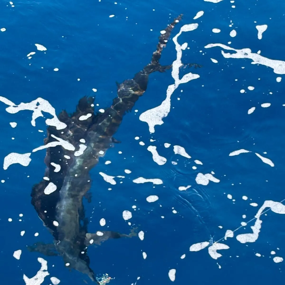
Atlantic sailfish

64 in · 35 lb

Loading...

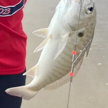
Spot croaker

length · weight

Loading...

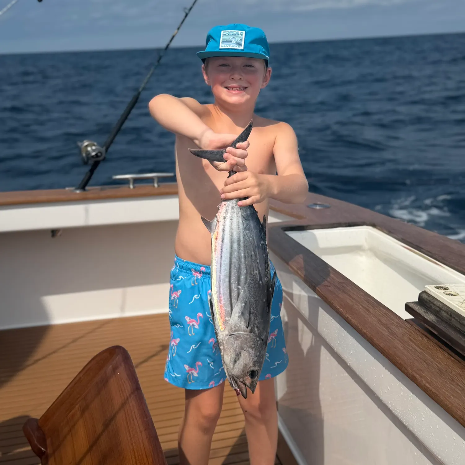
Skipjack tuna

23 in · 19 lb

Loading...

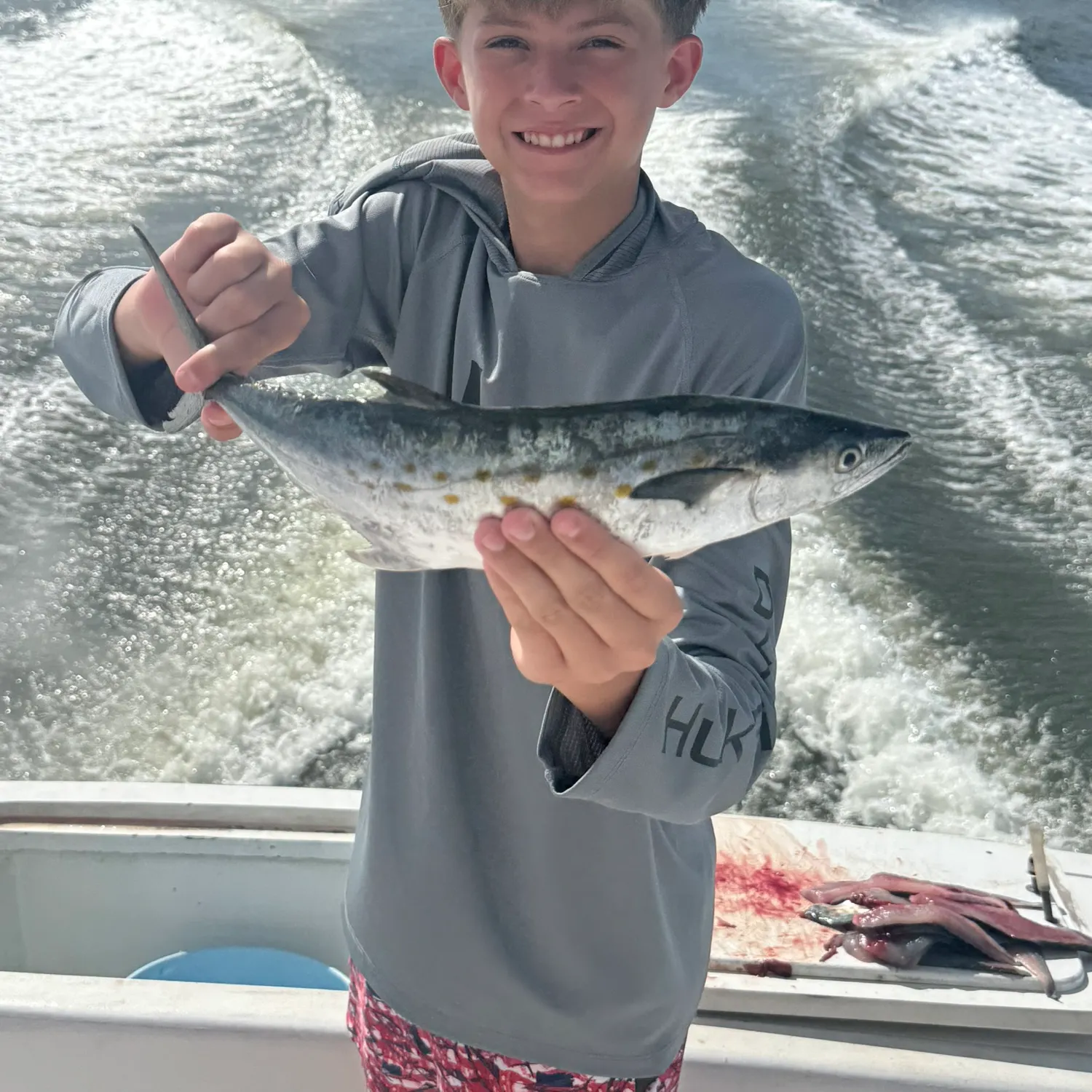
Spanish mackerel

length · weight

Loading...

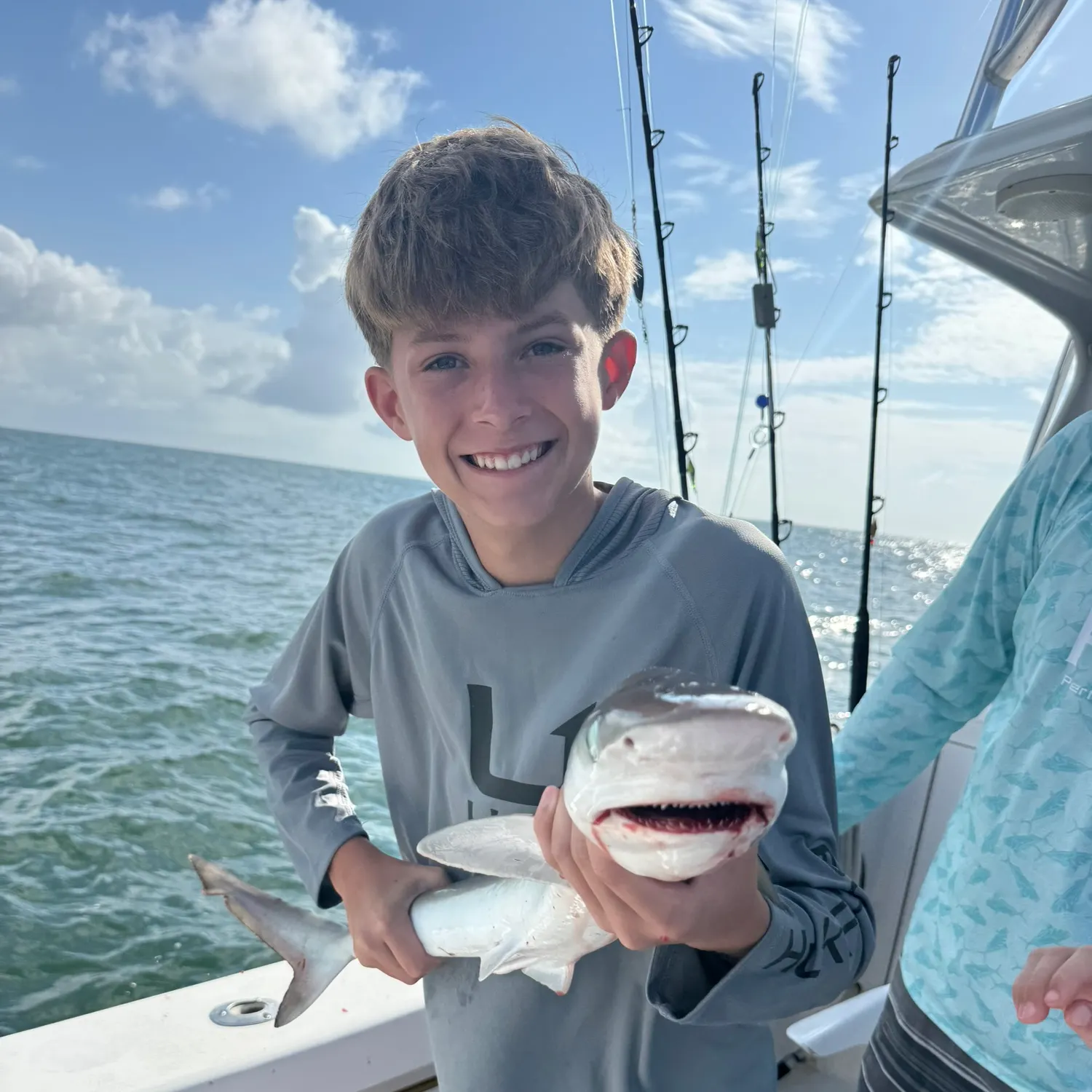
Atlantic sharpnose shark

length · weight

Loading...

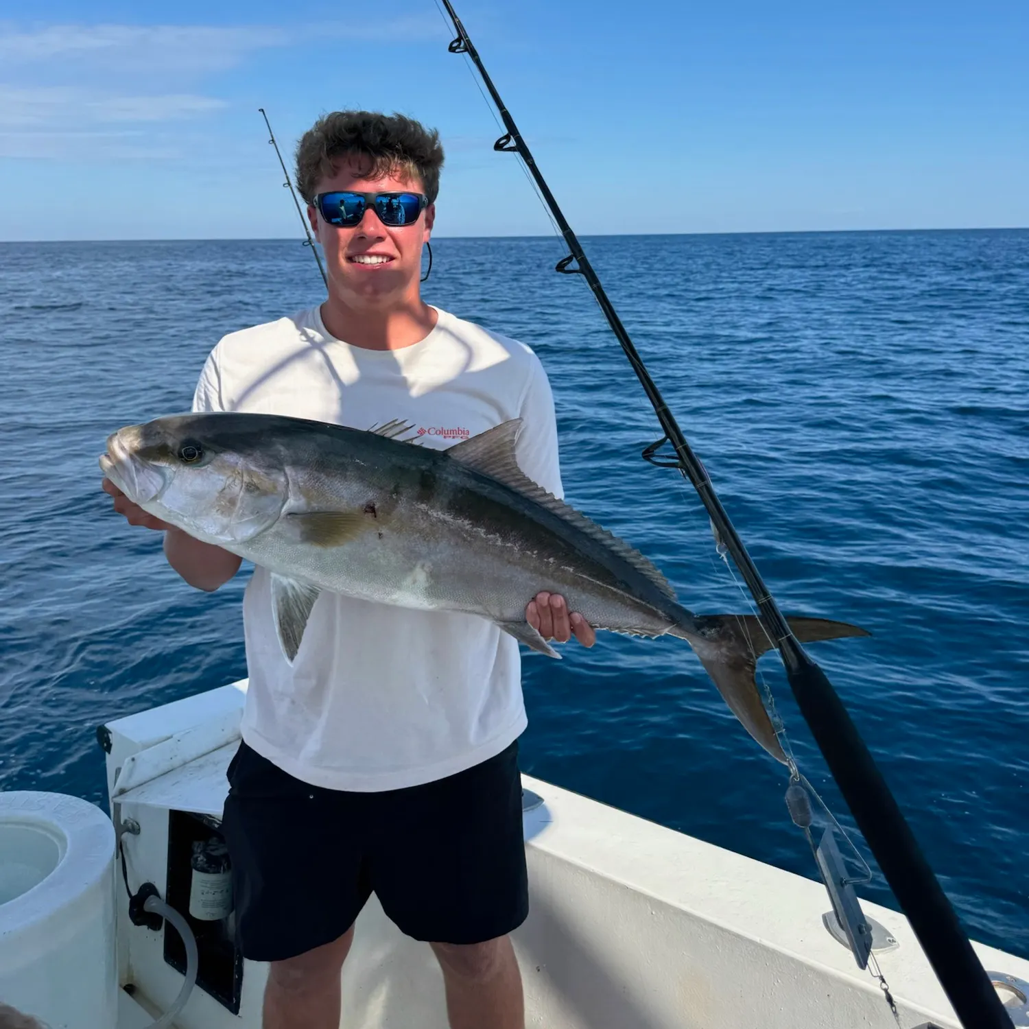
Greater amberjack

34 in · 17 lb

Fishbrain
More catches in the app...

Continue browsing catches and catch locations in the Fishbrain app

Loading...
Loading...
Loading...

General info

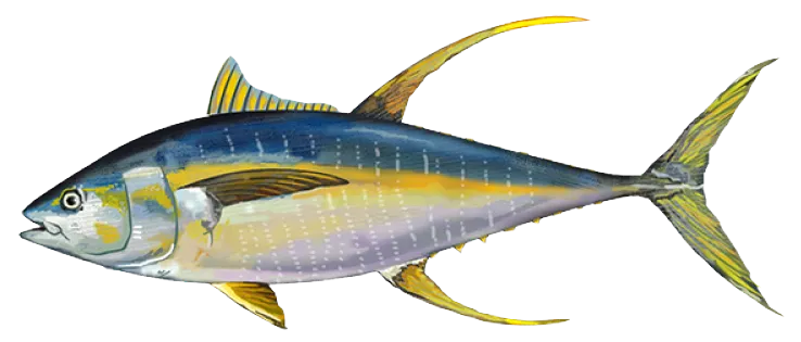
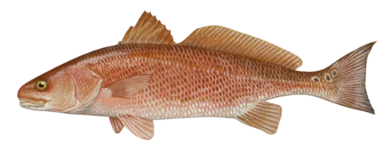
Atlantic Ocean via Outer Banks, NC is a part of an ocean located in Dare County, North Carolina, United States. It is most popular for fishing Common dolphinfish, Yellowfin tuna, and Red drum.

Location

35°16′1.2″N 74°51′22.7″W
Directions

Amenities

Fishing regulations at Atlantic Ocean via Outer Banks, NC, NC

Disclaimer: Always check local fishing regulations, water access rights and land ownership before fishing, regardless of any catches logged in that area by the Fishbrain community. Fishbrain has mapped millions of acres of government-owned land across the USA to help you identify potential fishing access, but you are responsible for ensuring compliance with all legal requirements.

Fishing regulations in North Carolina can change throughout the year. Make sure to check this page before fishing for the most up to date rules and regulations for the current season. Local regulations govern when you can fish, the max size of the fish you can keep, how many fish you can keep, and more.

Regulations for top species

Season open: year-round
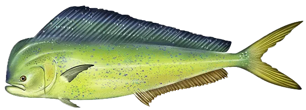
Common dolphinfish

Common dolphinfish

Regulation boundarySouth Atlantic Federal Waters NC
Bag limit10

The maximum number of individual fish legally harvested per harvester per day. Bag limits are only for properly licensed anglers actively harvesting the species. People who are not actively harvesting or are not properly licensed (if a license is required) may NOT be counted for the purpose of bag limits.

Vessel limit54

The maximum number of individual fish legally possessed aboard any vessel.

Additional information
Effective May 2nd 2022, the recreational vessel limit for dolphin is 54 fish (excluding headboats). The 10 dolphin per person per day recreational bag limit will remain unchanged for all recreational vessels (private, charter vessels, and headboats). See Fishery Bulletin Must be landed with head and fins intact. Minimum size limit only applies in waters off Florida, Georgia, and South Carolina. If you are bringing fish back to the U.S. from the Bahamas by water, please see Bringing fish back from the Bahamas. ---------- Federally Permitted Charter/Headboats: -If a federally permitted vessel fishing in federal waters catches a species that is closed to harvest in federal waters, the vessel is not allowed to retain that fish. -If a federally permitted vessel fishing in state waters catches a species that is closed to harvest in federal waters but open in state waters, the vessel is not allowed to retain that species. -If a federally permitted vessel fishing in federal waters catches a species that is closed to harvest in state waters but open to harvest in federal waters, they may retain that fish if they do not stop to fish in state waters when returning to port. All gear must be stowed. For more information, see: Dolphin Regulations
Edibility
Excellent, and they are considered a very sustainable fishery. Catch, Clean, Cook Mahi Mahi by DMFD
Synonyms
Coryphaena hippurus, dorado, mahi mahi
Season open: year-round
Yellowfin tuna

Yellowfin tuna

Regulation boundaryHighly Migratory Species
Bag limit3

The maximum number of individual fish legally harvested per harvester per day. Bag limits are only for properly licensed anglers actively harvesting the species. People who are not actively harvesting or are not properly licensed (if a license is required) may NOT be counted for the purpose of bag limits.

Min size27" (Curved Fork Length)

No person shall harvest any individual fish less than the minimum size limit.

Curved fork length means the length of a tuna taken in a line tracing the contour of the body from the tip of the upper jaw to the fork of the tail. The measuring tape must pass over (and touch) the pectoral fin and the caudal keel.

Special gear

HMS Tuna

Anglers with an HMS Angling permit may harvest Bigeye, Albacore, Yellowfin, Skipjack using handline, rod and reel, or speargun. Bluefin tuna may only be harvested using handline or rod and reel (no speargun).

Restrictions & requirements

Gigging

Harvest by gigging prohibited.

Snagging

Harvest of this species by snagging (snatch hooking) is prohibited.

Required licenses
Atlantic Highly Migratory Species Angling Permit
Additional information
All tunas must be landed with at least the tail and one pectoral fin attached. The upper and lower lobes of the tail may be removed for storage purposes as long as the fork of the tail remains intact. Any Atlantic tuna that is caught but not kept must be released immediately, without removing it from the water, to improve its chances of survival. Anglers must report all recreational tuna landings. Report all non-tournament recreational Atlantic tuna landings to NMFS within 24 hours by calling 1-800-894-5528 or hmspermits.noaa.gov. You must report recreational landings of tuna in North Carolina by calling 1-800-338-7804. You must report recreational landings of tuna in Maryland by calling 1-410-213-1531. All highly migratory species require an HMS Angling Permit from NOAA Fisheries. Permits are available by calling 1-888-872-8862, or by visiting hmspermits.noaa.gov. No sale permitted for HMS species caught under an HMS Angling Permit. For complete HMS regulations contact NOAA Fisheries HMS Management Division at 1-301-427-8503 or visit www.fisheries.noaa.gov/topic/atlantic-highly-migratory-species
Edibility
Excellent, but may contain high mercury levels. Catch, Clean, Cook Yellowfin Tuna by DMFDSpearfishing Yellowfin Tuna by DMFD
Synonyms
Thunnus albacares, ‘ahi
Species prohibited
Red drum

Red drum

Regulation boundarySouth Atlantic Federal Waters

It is unlawful to harvest, possess, land, purchase, sell, or exchange this species.

Additional information
Harvest prohibited in federal waters.
Edibility
Very Good
Synonyms
Channel Bass, Redfish, Sciaenops ocellatus, Spottail Bass
License Icon
Local laws and licenses

North Carolina fishing license

Get license

Reviews of Atlantic Ocean via Outer Banks, NC

4.9
Loading...

26 ratings

5
4
3
2
1
Top reviews

Cities nearby

Avon

37.1 miles away

Buxton

39.0 miles away

Waves

40.2 miles away

Rodanthe

41.0 miles away

Hatteras

47.0 miles away

Wanchese

59.1 miles away

Ocracoke

60.9 miles away

Manteo

63.0 miles away

Engelhard

67.1 miles away

Manns Harbor

67.3 miles away

Kill Devil Hills

69.1 miles away

Southern Shores

76.8 miles away

Fairfield

79.5 miles away

Swan Quarter

83.4 miles away

Grandy

88.0 miles away

Atlantic

88.2 miles away

Columbia

90.0 miles away

Davis

96.5 miles away

Creswell

96.5 miles away

Mesic

101.0 miles away

Belhaven

101.3 miles away

Vandemere

102.2 miles away

Pantego

103.9 miles away

Oriental

104.3 miles away

Anything missing or inaccurate?

Suggest changes to improve what we show.

Suggest changes

FAQ about Atlantic Ocean via Outer Banks, NC fishing

📍 Where is Atlantic Ocean via Outer Banks, NC located?
Atlantic Ocean via Outer Banks, NC is a part of an ocean located in Dare County, North Carolina, United States. Its coordinates are:
35°16′1.2″N 74°51′22.7″W
.
🎣 Where on Atlantic Ocean via Outer Banks, NC is it best to fish?
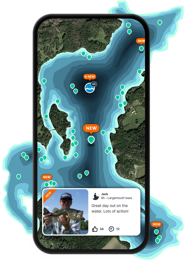
Find the best fishing spots on Atlantic Ocean via Outer Banks, NC by looking at where other anglers have caught fish. This can easily be done in the where it is also possible to see big fish potential and how good fishing is right now along with Garmin® depth maps.
🐟 What species are in Atlantic Ocean via Outer Banks, NC?
The most common species in Atlantic Ocean via Outer Banks, NC are:
📢 What are the latest Atlantic Ocean via Outer Banks, NC fishing reports?
The latest Atlantic Ocean via Outer Banks, NC fishing reports are:
🗓️ What species are in season at Atlantic Ocean via Outer Banks, NC right now?
According to fishing regulations at Atlantic Ocean via Outer Banks, NC, some of the species in season this November include: Cobia, Red grouper, Atlantic bluefin tuna, Greater amberjack, and Black grouper. For full details on other species — including bag limits, minimum and maximum size limits, and seasonal closures — download the .
🪪 Do I need a fishing license to fish at Atlantic Ocean via Outer Banks, NC?

Fishing in North Carolina requires a valid state fishing license for anglers. Licenses include resident and non-resident, annual, short-term, and combination options, purchasable online or at vendors.

In North Carolina, no fishing license is required for anglers under 16. Residents 70 and older qualify for a discounted lifetime license. A few other exceptions worth knowing:

  • Free fishing days — most states designate 1–2 weekends a year where anyone can fish without a license

  • Tribal waters — tribal members fishing on tribal land operate under separate tribal regulations

  • Private ponds — landowners fishing their own water typically don't need a license

Non-residents usually pay more for a license than residents. Some species also require an extra stamp or endorsement on top of your base license.

Get license
App Section
Download Fishbrain and fish smarter
Unlimited access to the best fishing spot finder in the game. Get all the fishing intel you need to start catching more, and bigger, fish.

Free trial available

Loading...
Loading...
Loading...
Loading...