Map

Fishing spots, fishing reports, and regulations in

McDougall Branch

Ohio, United States

5 catches

Top fish species at McDougall Branch

McDougall Branch fishing reports

fish catches icon
recently logged catches
Loading...

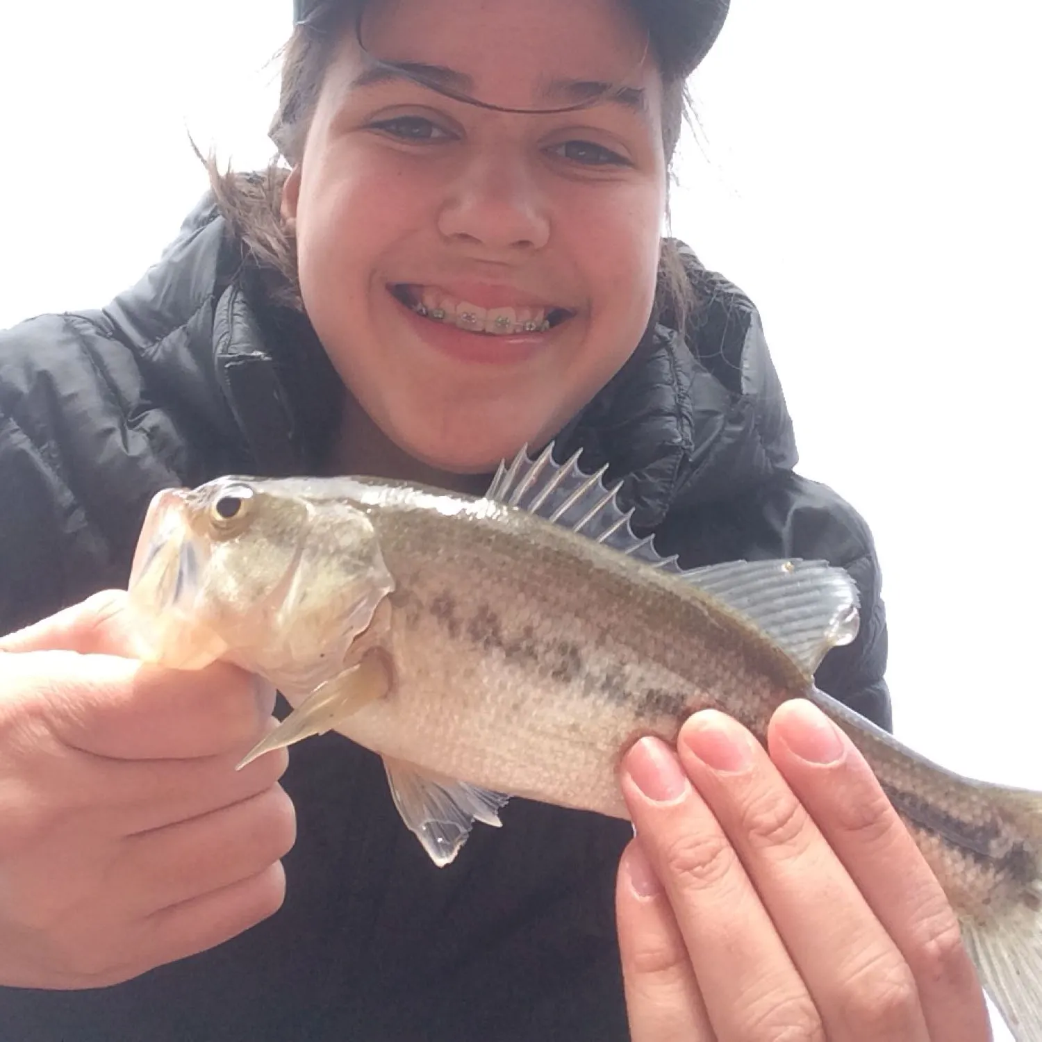
Spotted bass

length Β· weight

fish catches icon
recently logged catches
Loading...

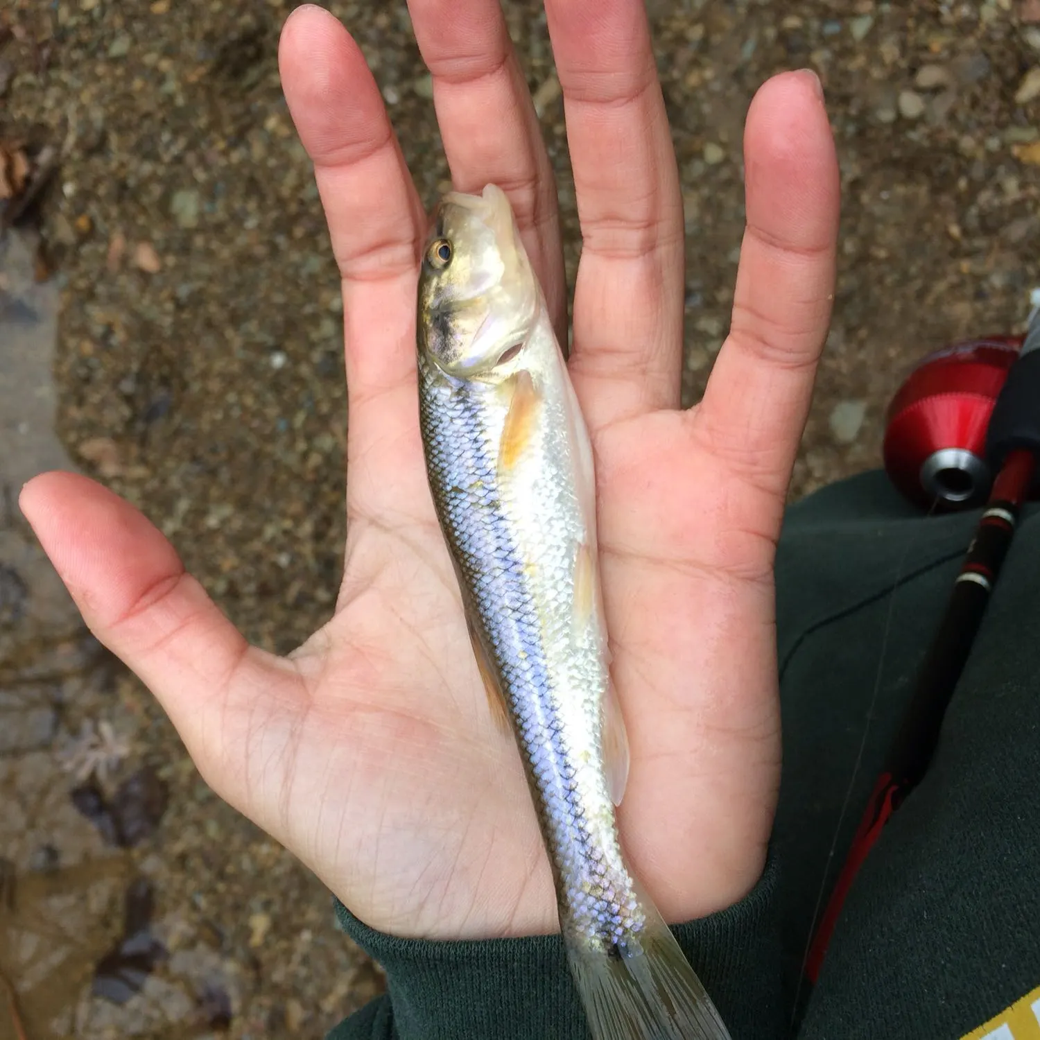
Creek chub

length Β· weight

fish catches icon
recently logged catches
Loading...

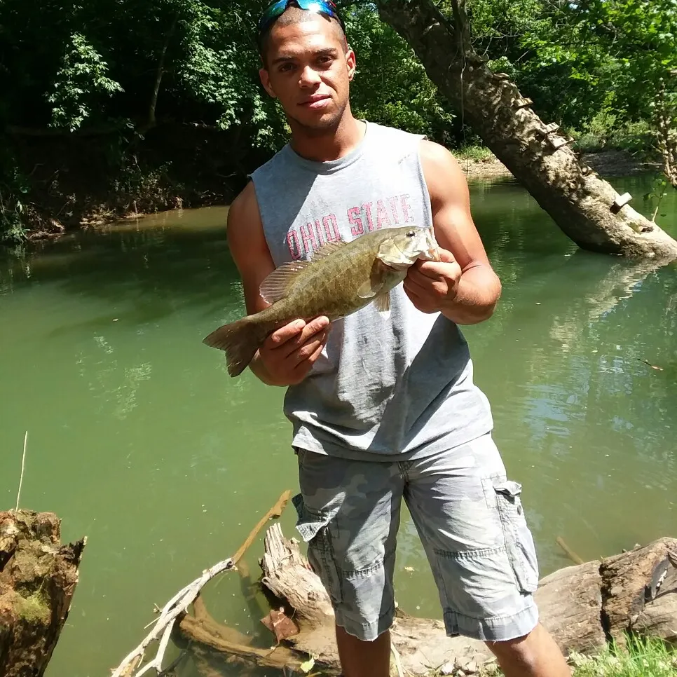
Smallmouth bass

length Β· weight

fish catches icon
recently logged catches
Loading...

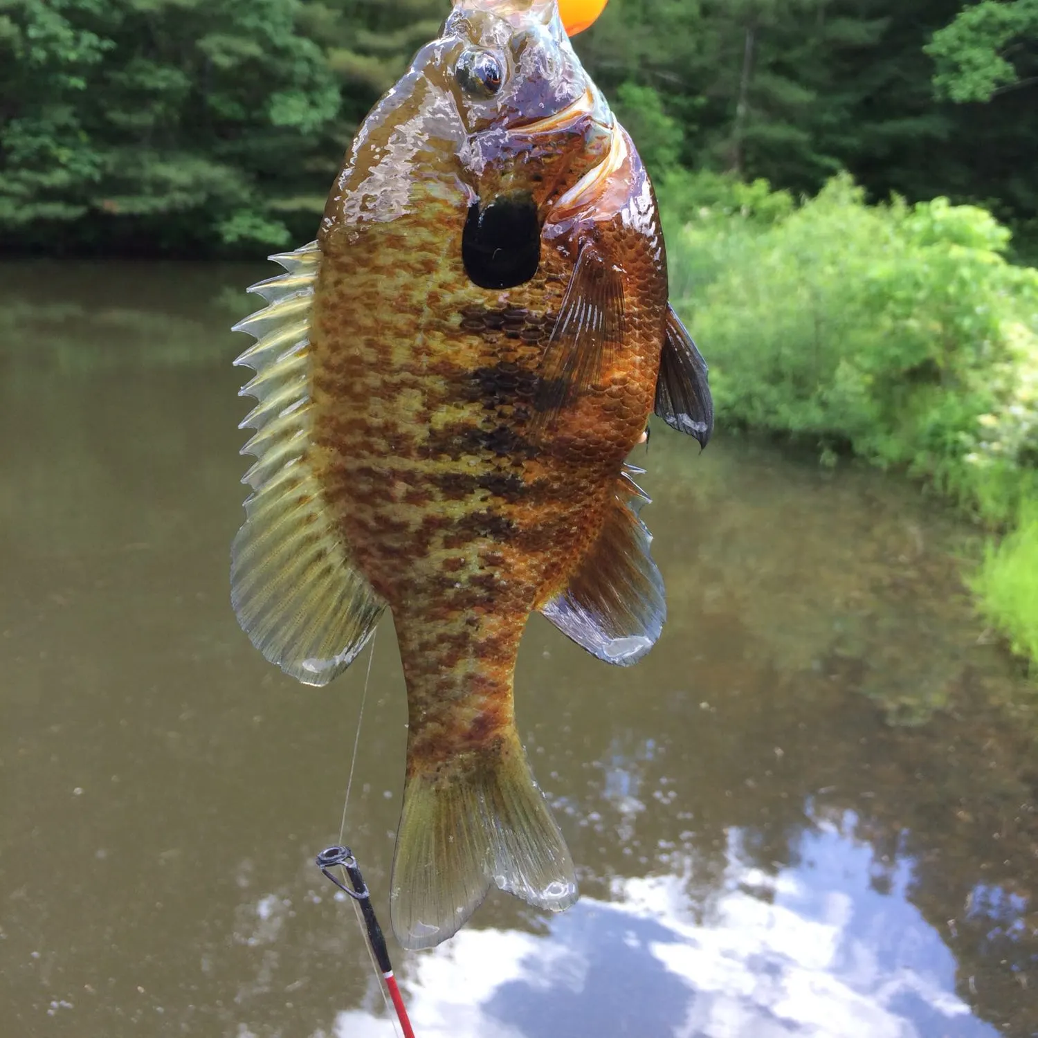
Bluegill

length Β· weight

fish catches icon
recently logged catches
Loading...

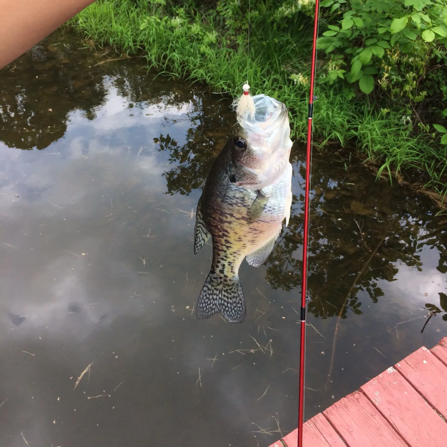
White crappie

length Β· weight

Fishbrain
Have you been fishing here?

Log your catch and check out other catches from the community in the Fishbrain app.

Loading...
Loading...
Loading...

General info

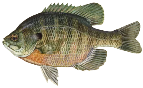
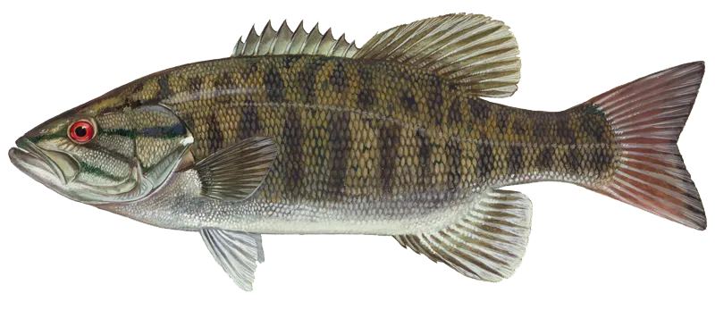
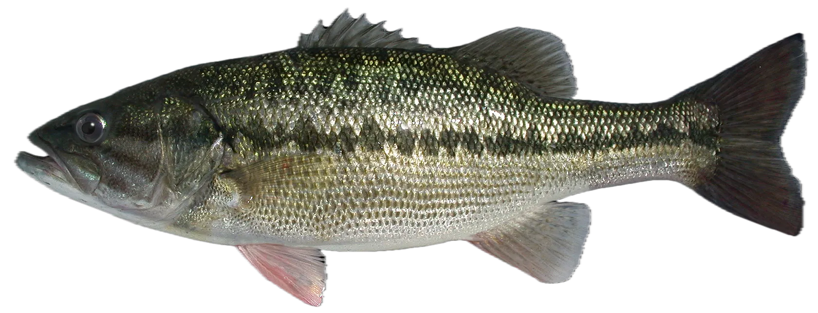
McDougall Branch is a stream located in Ohio, United States. It is most popular for fishing Bluegill, Smallmouth bass, and Spotted bass.

Avatar of Fishbrain user

kjones7897 +1 fish here

Location

39Β°24β€²1β€³N 82Β°01β€²29β€³W
Directions

Fishing regulations at McDougall Branch, OH

Loading boundaries...
License Icon
Local laws and licenses

Ohio fishing license

Get license

Cities nearby

Athens

6.4 miles away

Parkersburg

27.5 miles away

Marietta

30.9 miles away

Lancaster

38.2 miles away

Zanesville

38.4 miles away

Jackson

41.4 miles away

Cambridge

48.9 miles away

Circleville

50.5 miles away

Newark

51.0 miles away

Chillicothe

51.9 miles away

Pickerington

52.0 miles away

Pataskala

55.9 miles away

Reynoldsburg

56.2 miles away

Whitehall

60.2 miles away

Coshocton

60.2 miles away

Gahanna

62.1 miles away

Bexley

62.1 miles away

Grove City

64.2 miles away

Columbus

65.1 miles away

Teays Valley

66.0 miles away

Portsmouth

66.5 miles away

Westerville

69.0 miles away

Huntington

71.8 miles away

Ashland

73.1 miles away

Anything missing or inaccurate?

Suggest changes to improve what we show.

Suggest changes

FAQ about McDougall Branch fishing

the McDougall Branch is a stream located in Ohio, United States. Its coordinates are:
39Β°24β€²1β€³N 82Β°01β€²29β€³W
.
Find the best fishing spots on the McDougall Branch by looking at where other anglers have caught fish. This can easily be done in the where it is also possible to see big fish potential and how good fishing is right now along with Navionics depth maps.
The most common species in the McDougall Branch are:
The latest McDougall Branch fishing reports are:
App Section
Download Fishbrain and fish smarter
Unlimited access to the best fishing spot finder in the game. Get all the fishing intel you need to start catching more, and bigger, fish.

Free trial available

Loading...
Loading...
Loading...
Loading...