Map

Wreck Lead Channel

Fishing spots, fishing reports, and regulations in

New York, United States

3.8·20 catches

Top fish species at Wreck Lead Channel

App Section

Check which species have trophy potential in Wreck Lead Channel

Wreck Lead Channel fishing reports

Loading...

Tautog

length · weight

Loading...

Feather blenny

length · weight

Loading...

Grey triggerfish

length · weight

Loading...

length · weight

Loading...

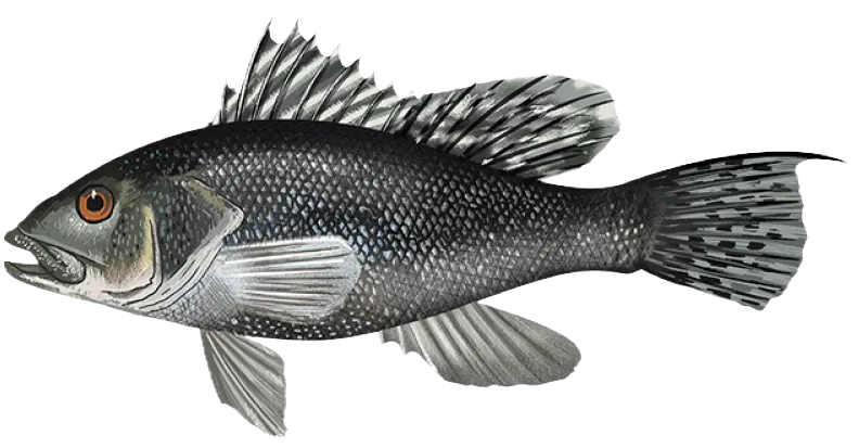
Black sea bass

length · weight

Loading...

Striped bass

length · weight

Fishbrain
More catches in the app...

Continue browsing catches and catch locations in the Fishbrain app

Loading...
Loading...
Loading...

General info

Wreck Lead Channel is an inshore water located in Nassau County, New York, United States. It is most popular for fishing Black sea bass, Summer flounder, and Tautog.

Location

40°35′43.8″N 73°39′35.4″W
Directions

Amenities

Fishing regulations at Wreck Lead Channel, NY

Disclaimer: Always check local fishing regulations, water access rights and land ownership before fishing, regardless of any catches logged in that area by the Fishbrain community. Fishbrain has mapped millions of acres of government-owned land across the USA to help you identify potential fishing access, but you are responsible for ensuring compliance with all legal requirements.

Fishing regulations in New York can change throughout the year. Make sure to check this page before fishing for the most up to date rules and regulations for the current season. Local regulations govern when you can fish, the max size of the fish you can keep, how many fish you can keep, and more.

Regulations for top species

Season open: year-round
Black sea bass

Black sea bass

Regulation boundaryNew York State Waters
Bag limit6

The maximum number of individual fish legally harvested per harvester per day. Bag limits are only for properly licensed anglers actively harvesting the species. People who are not actively harvesting or are not properly licensed (if a license is required) may NOT be counted for the purpose of bag limits.

Min size16" (Total Length)

No person shall harvest any individual fish less than the minimum size limit.

Total length means the straight line distance from the most forward point of the head with the mouth closed, to the farthest tip of the tail with the tail compressed or squeezed, while the fish is lying on its side.

Additional information
Bag limit = 3 fish per person May 16-August 31. Bag limit = 6 fish per person September 1-December 31.The tail filament is not included in measurement of Black Sea Bass total length.
Edibility
Excellent according to Adam L.
Synonyms
Centropristis striata
Season closed: October 16 - May 3
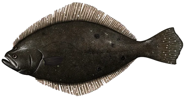
Summer flounder

Summer flounder

Regulation boundaryNew York State Waters
Bag limit3

The maximum number of individual fish legally harvested per harvester per day. Bag limits are only for properly licensed anglers actively harvesting the species. People who are not actively harvesting or are not properly licensed (if a license is required) may NOT be counted for the purpose of bag limits.

Min size19.5" (Total Length)

No person shall harvest any individual fish less than the minimum size limit.

Total length means the straight line distance from the most forward point of the head with the mouth closed, to the farthest tip of the tail with the tail compressed or squeezed, while the fish is lying on its side.

Additional information
May 4 - Aug 1: minimum size = 19-inchesAug 2 - Oct 15: minimum size = 19.5-inchesFederal regulations are waived for Summer Flounder, and recreational anglers shall follow regulations for the state in which their catch is landed.Summer flounder may not have heads or tails removed or be otherwise cleaned, cut, filleted or skinned until brought to shore, with the following exception: the white side fillet or white skin only of a legal size fluke may be removed to use as bait. The carcass of the fluke with dark side completely intact must be retained for inspection of size limit and counts against the possession limit.For more information, see NY Recreational saltwater regulations
Synonyms
Fluke, Paralichthys dentatus
Season open: October 15 - December 22
Tautog

Tautog

Regulation boundaryNew York State Waters
Bag limit2

The maximum number of individual fish legally harvested per harvester per day. Bag limits are only for properly licensed anglers actively harvesting the species. People who are not actively harvesting or are not properly licensed (if a license is required) may NOT be counted for the purpose of bag limits.

Min size16" (Total Length)

No person shall harvest any individual fish less than the minimum size limit.

Total length means the straight line distance from the most forward point of the head with the mouth closed, to the farthest tip of the tail with the tail compressed or squeezed, while the fish is lying on its side.

Additional information
Regulations shown are for NY Bight Management Region (Marine and coastal district waters lying outside of the Long Island Sound Region)Open season April 1 through April 30; bag limit = 2 Tautog per anglerOpen season October 15 through December 22; bag limit = 4 Tautog per anglerLong Island Sound Management Region (Marine and coastal district waters lying east of the Throgs Neck Bridge and west of a line that runs from Orient Pt, NY to Watch Hill, RI):Open season April 1 through April 30; bag limit = 2 Tautog per personOpen season October 11 through December 9; bag limit = 3 Tautog per person
Edibility
Chris R. says they're delicious!
Synonyms
Tautoga onitis
License Icon
Local laws and licenses

New York fishing license

Get license

Reviews of Wreck Lead Channel

3.8
Loading...

4 ratings

5
4
3
2
1
Top reviews

Cities nearby

Harbor Isle

0.5 miles away

Long Beach

0.6 miles away

Island Park

0.7 miles away

Barnum Island

1.1 miles away

Bay Park

2.4 miles away

Lido Beach

2.5 miles away

East Atlantic Beach

2.6 miles away

Hewlett Neck

2.8 miles away

Oceanside

2.9 miles away

Hewlett Harbor

2.9 miles away

Lawrence

3.0 miles away

Woodsburgh

3.1 miles away

Hewlett Bay Park

3.3 miles away

East Rockaway

3.3 miles away

Atlantic Beach

3.7 miles away

Hewlett

3.7 miles away

Cedarhurst

4.1 miles away

Point Lookout

4.2 miles away

Woodmere

4.4 miles away

Lynbrook

4.4 miles away

Rockville Centre

4.9 miles away

North Lynbrook

5.1 miles away

Inwood

5.1 miles away

South Valley Stream

5.2 miles away

Anything missing or inaccurate?

Suggest changes to improve what we show.

Suggest changes

FAQ about Wreck Lead Channel fishing

📍 Where is Wreck Lead Channel located?
Wreck Lead Channel is an inshore water located in Nassau County, New York, United States. Its coordinates are:
40°35′43.8″N 73°39′35.4″W
.
🎣 Where on Wreck Lead Channel is it best to fish?
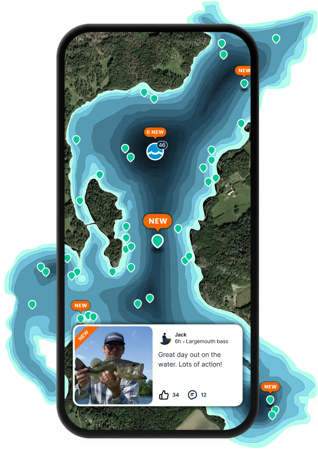
Find the best fishing spots on Wreck Lead Channel by looking at where other anglers have caught fish. This can easily be done in the where it is also possible to see big fish potential and how good fishing is right now along with Garmin® depth maps.
🐟 What species are in Wreck Lead Channel?
The most common species in Wreck Lead Channel are:
📢 What are the latest Wreck Lead Channel fishing reports?
The latest Wreck Lead Channel fishing reports are:
🗓️ What species are in season at Wreck Lead Channel right now?
According to fishing regulations at Wreck Lead Channel, some of the species in season this November include: Largemouth bass, Smallmouth bass, Northern pike, Striped bass, and Walleye. For full details on other species — including bag limits, minimum and maximum size limits, and seasonal closures — download the .
🪪 Do I need a fishing license to fish at Wreck Lead Channel?

Fishing in New York requires a valid state fishing license for anglers. Options include resident and non-resident, annual, daily, and lifetime licenses, available online or at licensed agents statewide.

In New York, no fishing license is required for anglers under 16. Residents 70 and older qualify for a discounted license. A few other exceptions worth knowing:

  • Free fishing days — most states designate 1–2 weekends a year where anyone can fish without a license

  • Tribal waters — tribal members fishing on tribal land operate under separate tribal regulations

  • Private ponds — landowners fishing their own water typically don't need a license

Non-residents usually pay more for a license than residents. Some species also require an extra stamp or endorsement on top of your base license.

Get license
App Section
Download Fishbrain and fish smarter
Unlimited access to the best fishing spot finder in the game. Get all the fishing intel you need to start catching more, and bigger, fish.

Free trial available

Loading...
Loading...
Loading...
Loading...