App Section

Check which species have trophy potential in Burnt Mills Swamp

Fishbrain
Have you been fishing here?

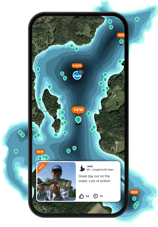
Log your catch and check out other catches from the community in the Fishbrain app.

Loading...
Loading...
Loading...

General info

Burnt Mills Swamp is a stream located in Isle of Wight County, Virginia, United States.

Location

36°50′44.5″N 76°45′32.1″W
Directions

Fishing regulations at Burnt Mills Swamp, VA

Disclaimer: Always check local fishing regulations, water access rights and land ownership before fishing, regardless of any catches logged in that area by the Fishbrain community. Fishbrain has mapped millions of acres of government-owned land across the USA to help you identify potential fishing access, but you are responsible for ensuring compliance with all legal requirements.

Fishing regulations in Virginia can change throughout the year. Make sure to check this page before fishing for the most up to date rules and regulations for the current season. Local regulations govern when you can fish, the max size of the fish you can keep, how many fish you can keep, and more.
License Icon
Local laws and licenses

Virginia fishing license

Get license

Cities nearby

Windsor

2.7 miles away

Ivor

8.7 miles away

Carrsville

10.4 miles away

Benns Church

11.5 miles away

Suffolk

12.3 miles away

Sedley

13.5 miles away

Camptown

13.6 miles away

Carrollton

14.5 miles away

Dendron

16.0 miles away

Rushmere

16.7 miles away

Southampton Meadows

19.9 miles away

Surry

20.6 miles away

Newport News

22.3 miles away

Portsmouth

22.4 miles away

Waverly

22.7 miles away

Scotland

23.3 miles away

Newsoms

25.3 miles away

Hampton

26.2 miles away

Capron

26.2 miles away

Como

27.5 miles away

Chesapeake

27.8 miles away

Norfolk

27.8 miles away

Sunbury

28.7 miles away

Gatesville

30.3 miles away

Anything missing or inaccurate?

Suggest changes to improve what we show.

Suggest changes

FAQ about Burnt Mills Swamp fishing

the Burnt Mills Swamp is a stream located in Isle of Wight County, Virginia, United States. Its coordinates are:
36°50′44.5″N 76°45′32.1″W
.
Find the best fishing spots on the Burnt Mills Swamp by looking at where other anglers have caught fish. This can easily be done in the where it is also possible to see big fish potential and how good fishing is right now along with Garmin® depth maps.
According to fishing regulations at the Burnt Mills Swamp, some of the species in season this May include: Striped bass, Blacktip shark, Black sea bass, Bonnethead shark, and Bull shark. For full details on other species — including bag limits, minimum and maximum size limits, and seasonal closures — download the .
App Section
Download Fishbrain and fish smarter
Unlimited access to the best fishing spot finder in the game. Get all the fishing intel you need to start catching more, and bigger, fish.

Free trial available

Loading...
Loading...
Loading...
Loading...