Mountain RunPitt Spring RunFridley RunWar BranchButtermilk CreekDaphna CreekMorgan RunLinville CreekLong MeadowCedar Run

Fishing spots, fishing reports, and regulations in
Dry Fork
1.0·14 catches
14
Logged catches
1.0
Top fish species at Dry Fork

See all species in the Fishbrain app
Dry Fork fishing reports

More catches in the app...
Continue browsing catches and catch locations in the Fishbrain app
General info
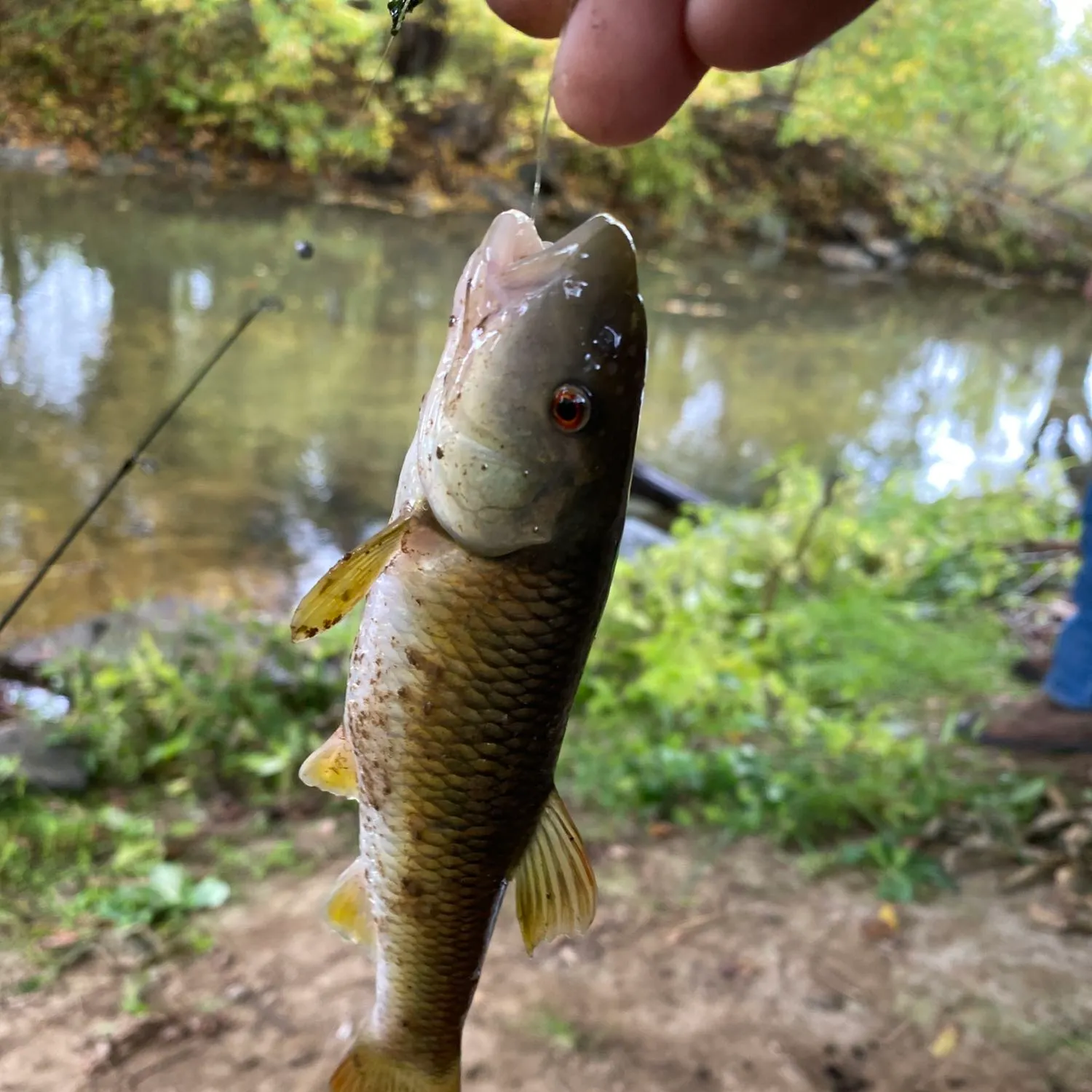
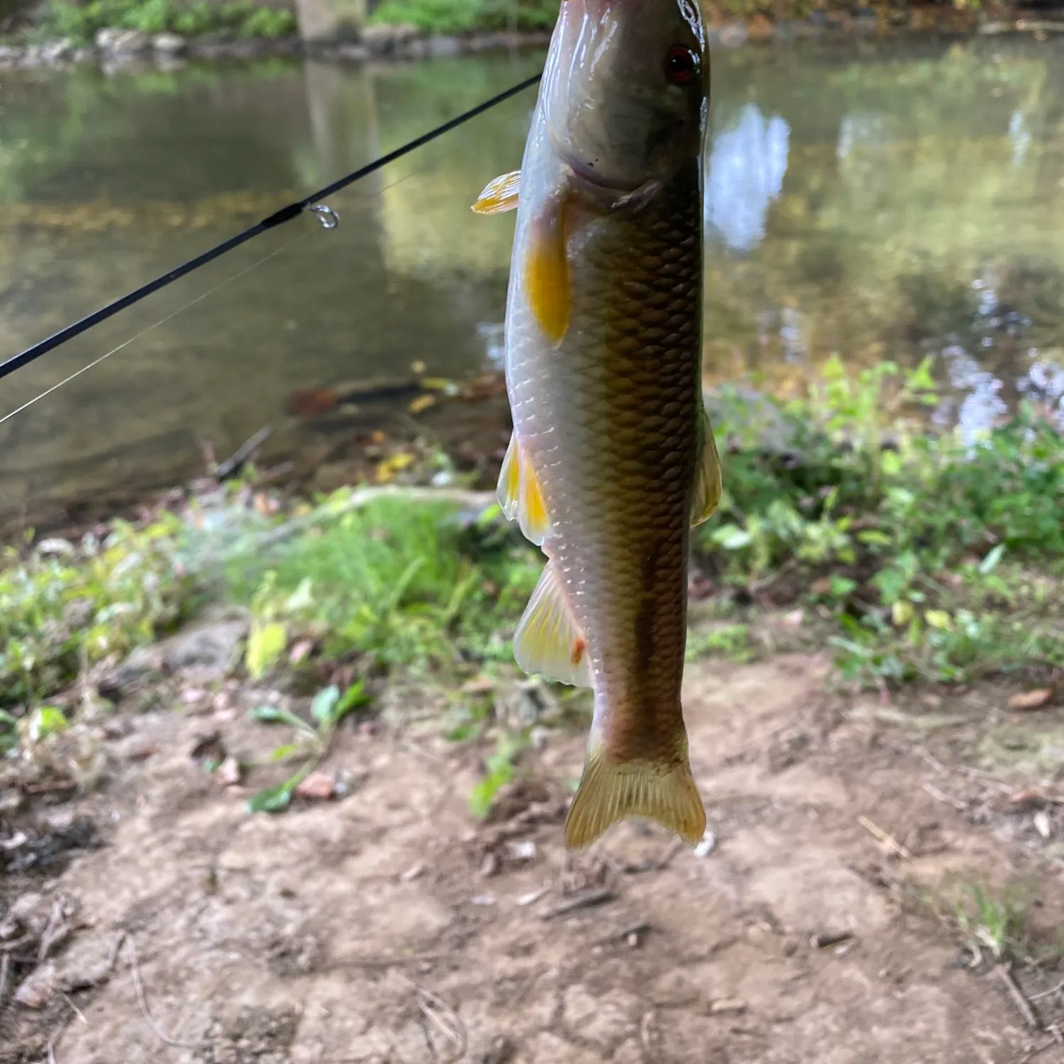
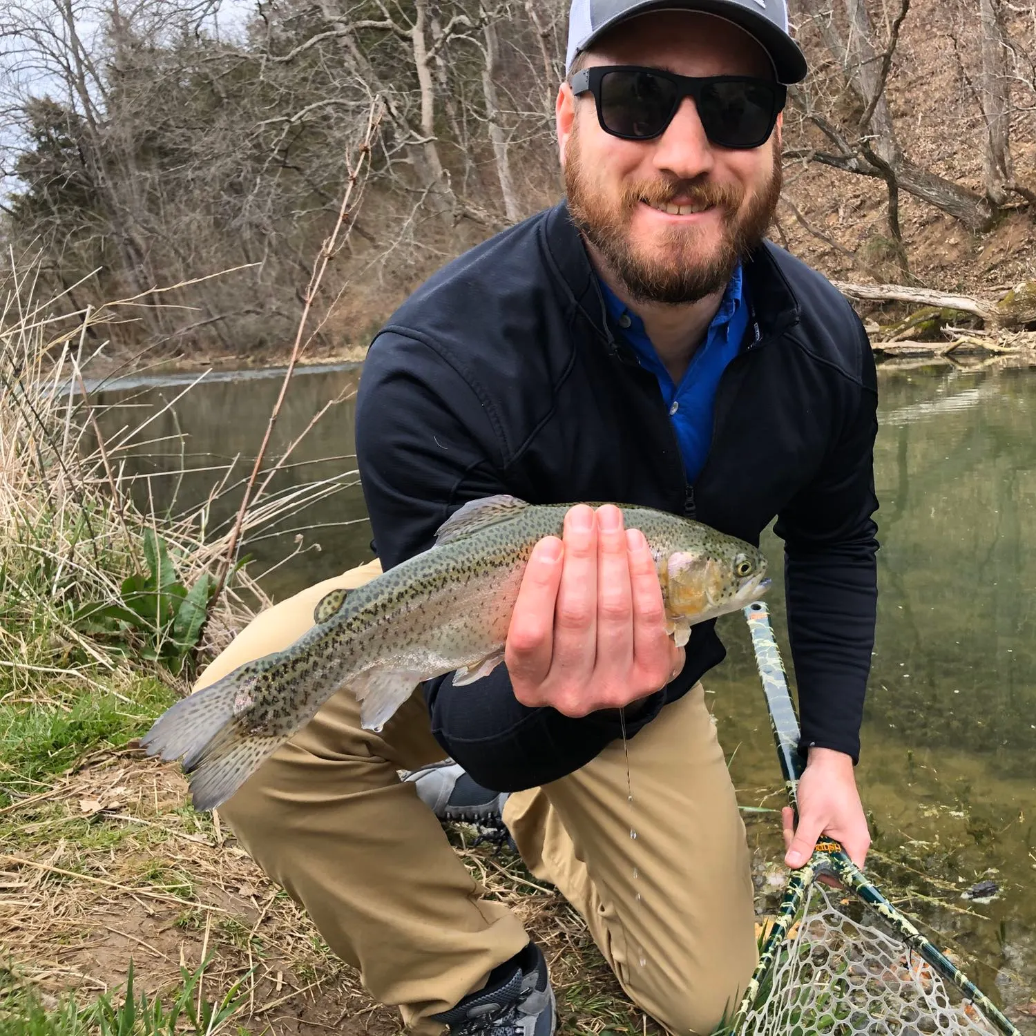
Dry Fork is a stream located in Virginia, United States. It is most popular for fishing Largemouth bass, White sucker, and Rainbow trout.
sarahfairweather +8 others fish here
Location
38°32′19.3″N 78°45′29.2″W
Directions When is the Largemouth Bass biting in Dry Fork?
Learn what hours to go fishing at Dry Fork. Download the app today and get started looking for fishing spots, prepare for your next fishing trip, and try out our BiteTime™ feature, explore fishing spots, and save relevant baits to prepare for your next fishing trip.


Fishing regulations at Dry Fork, VA

FAQ about Dry Fork fishing
the Dry Fork is a stream located in Virginia, United States. Its coordinates are:
38°32′19.3″N 78°45′29.2″W
.Find the best fishing spots on the Dry Fork by looking at where other anglers have caught fish. This can easily be done in the where it is also possible to see big fish potential and how good fishing is right now along with Navionics depth maps.
The most common species in the Dry Fork are:
- Largemouth bass - 3 members reported to have caught this fish
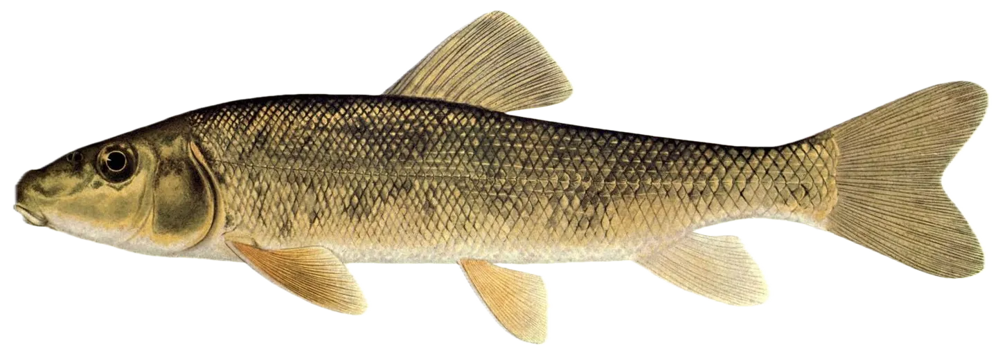
- White sucker - 1 members reported to have caught this fish
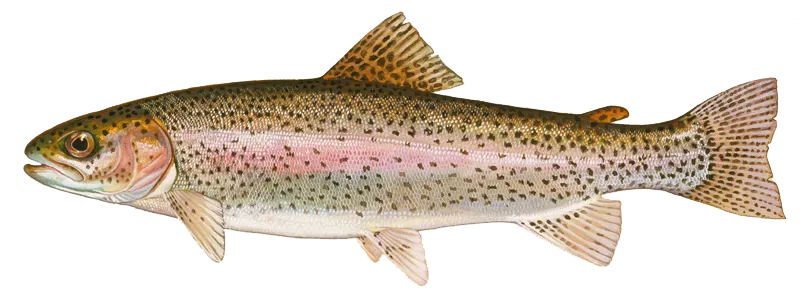
- Rainbow trout - 2 members reported to have caught this fish
The latest Dry Fork fishing reports are:
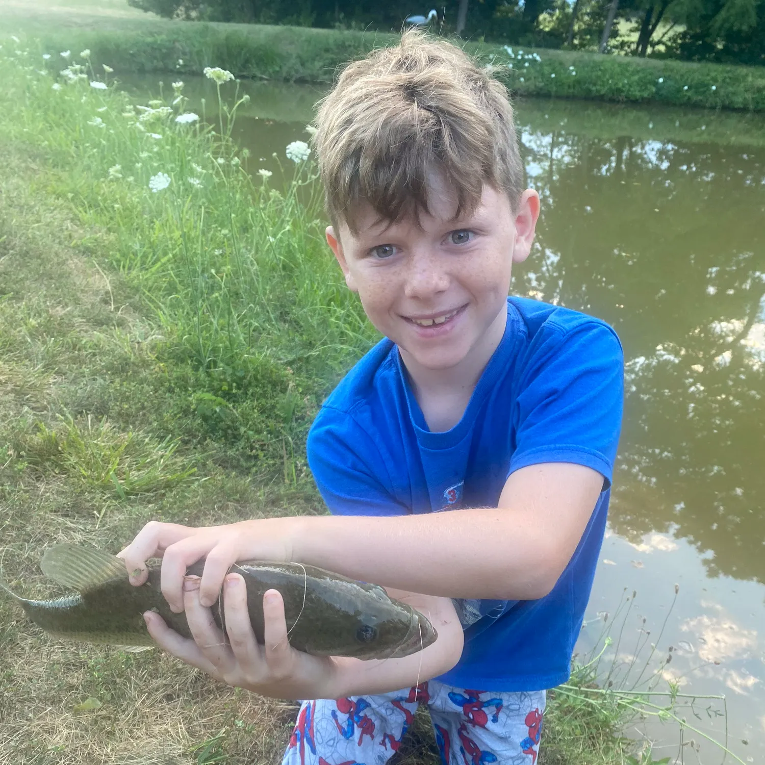
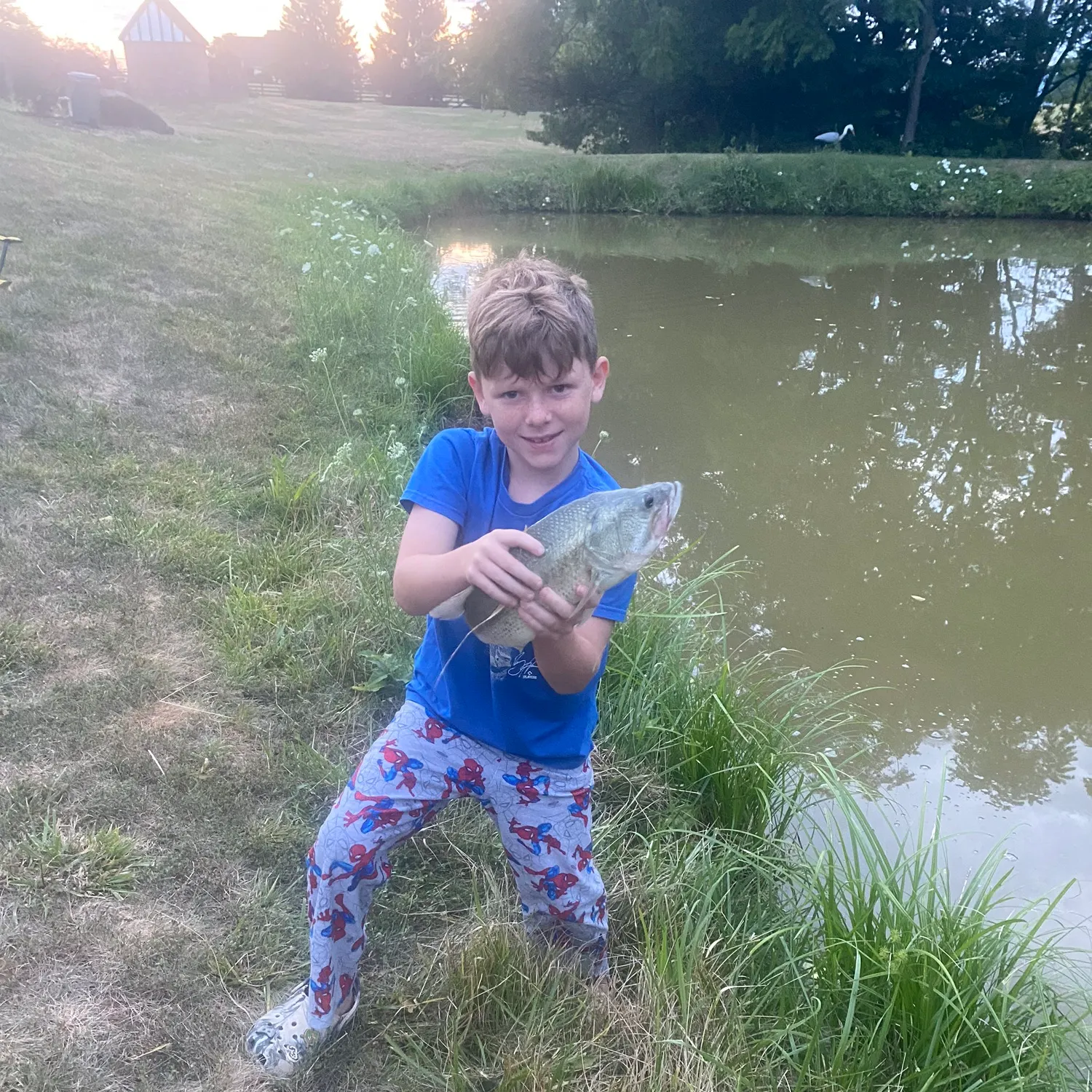
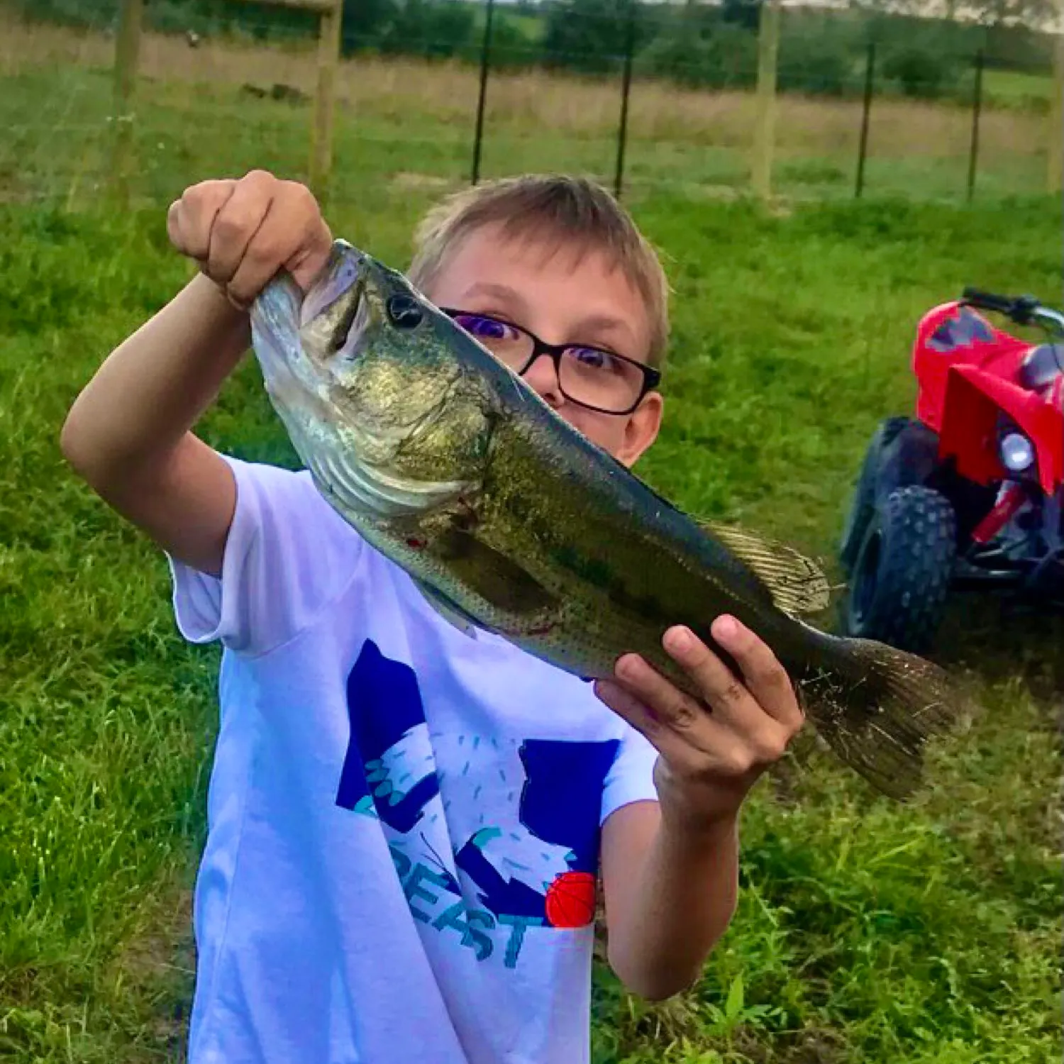
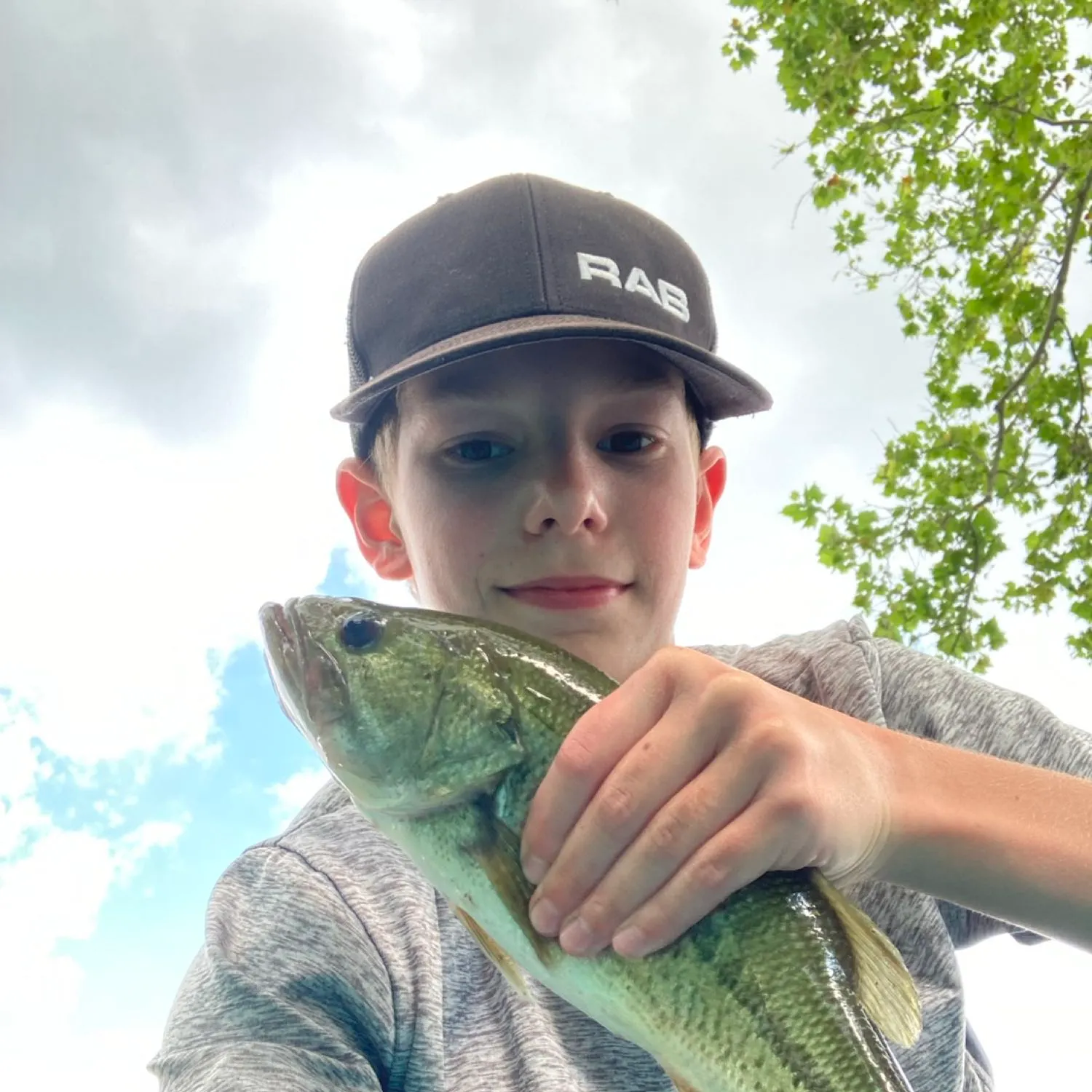
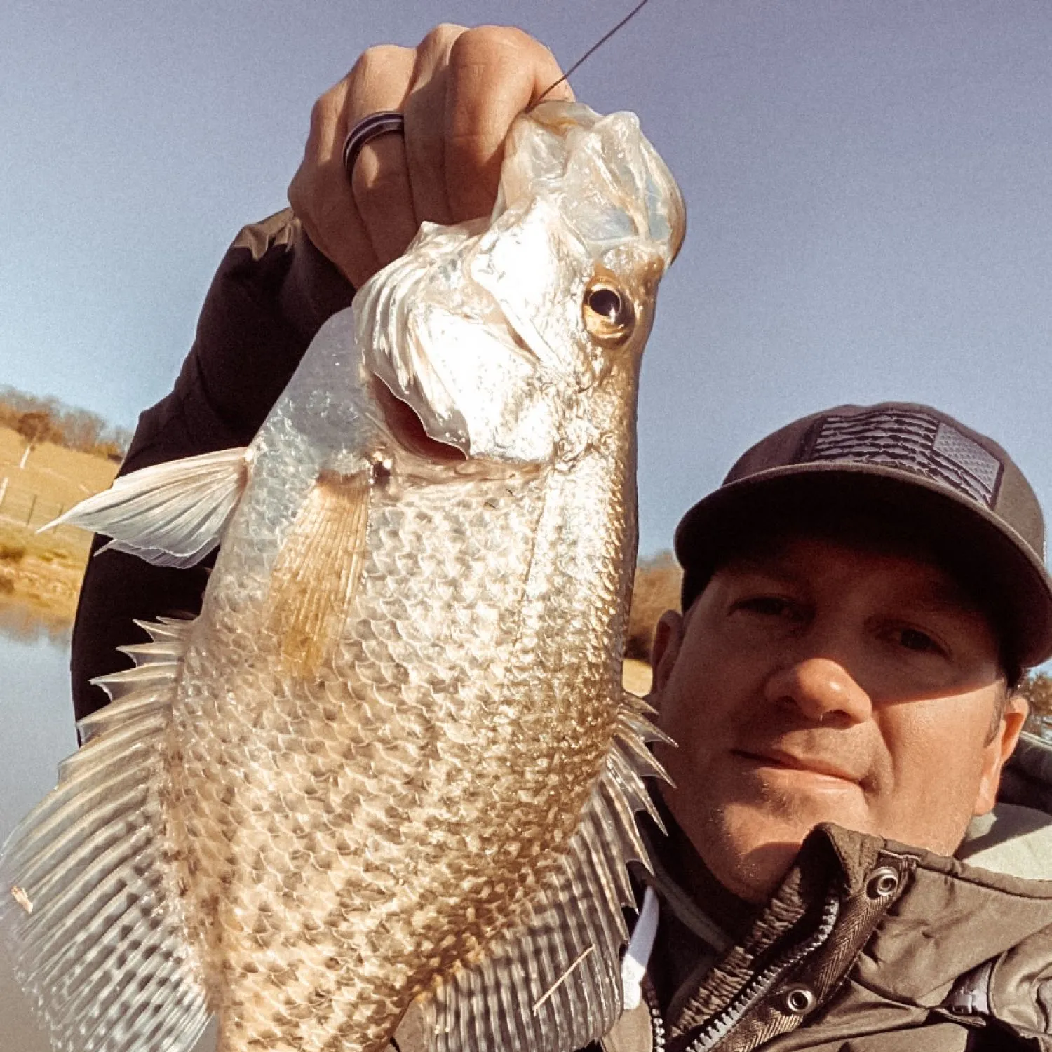
- @Levisfishing2insane reported a nice Largemouth bass.
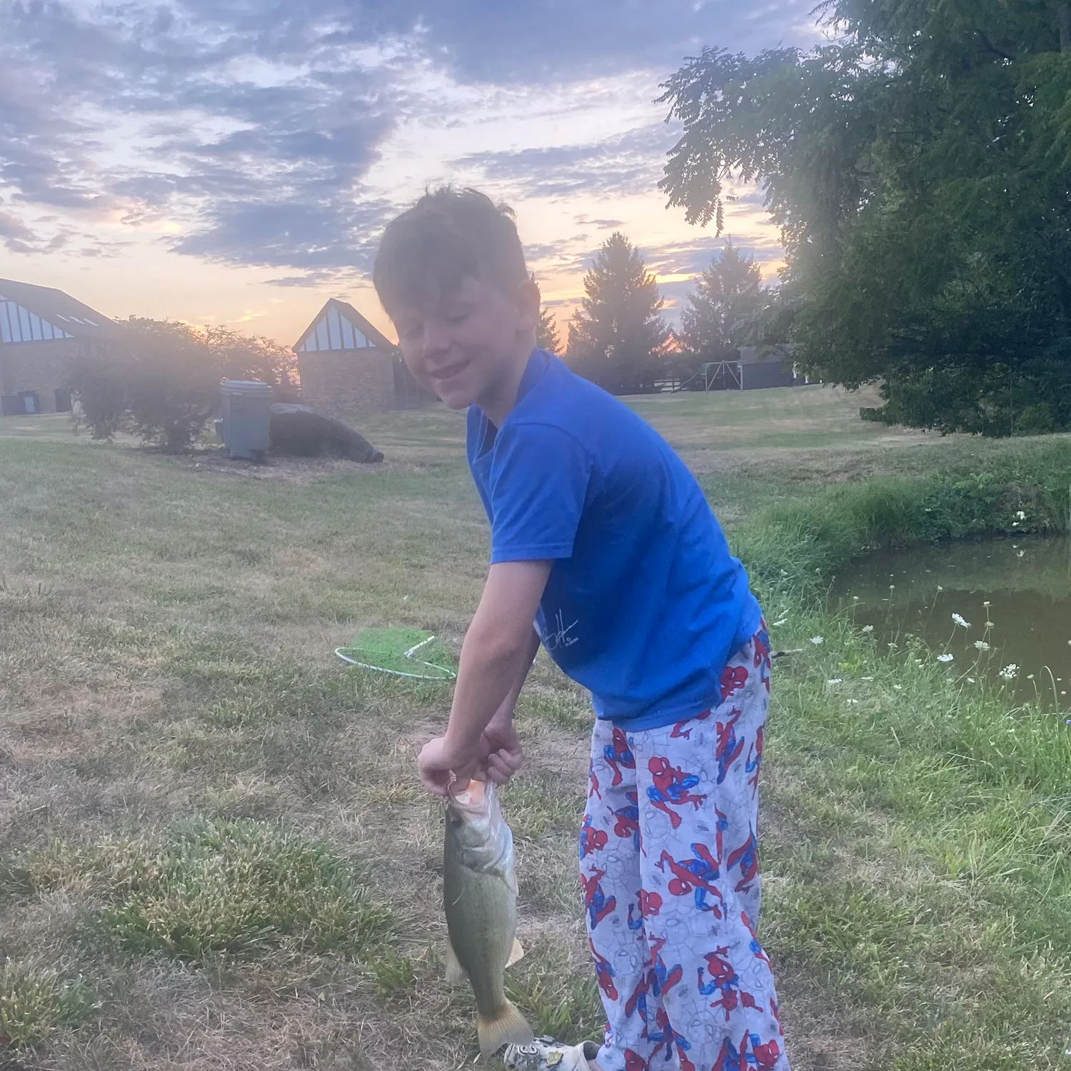
- @avery.cox reported a nice Largemouth bass.

Download Fishbrain and fish smarter
Unlimited access to the best fishing spot finder in the game. Get all the fishing intel you need to start catching more, and bigger, fish.
Free trial available