
Top fish species at Sturtevant Stream

Check which species have trophy potential in Sturtevant Stream
Sturtevant Stream fishing reports

Continue browsing catches and catch locations in the Fishbrain app
Fishing regulations at Sturtevant Stream, ME
Disclaimer: Always check local fishing regulations, water access rights and land ownership before fishing, regardless of any catches logged in that area by the Fishbrain community. Fishbrain has mapped millions of acres of government-owned land across the USA to help you identify potential fishing access, but you are responsible for ensuring compliance with all legal requirements.
Fishing regulations in Maine can change throughout the year. Make sure to check this page before fishing for the most up to date rules and regulations for the current season. Local regulations govern when you can fish, the max size of the fish you can keep, how many fish you can keep, and more.
Regulations for top species
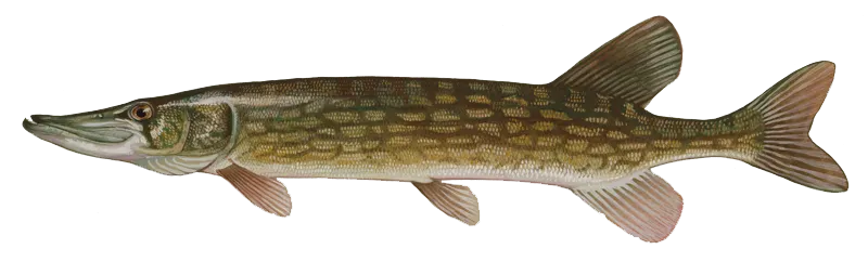
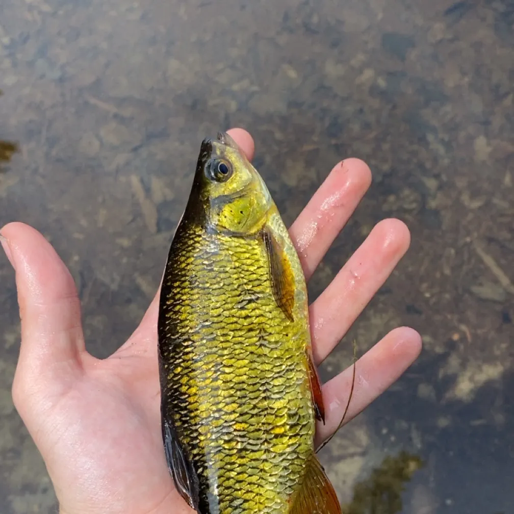
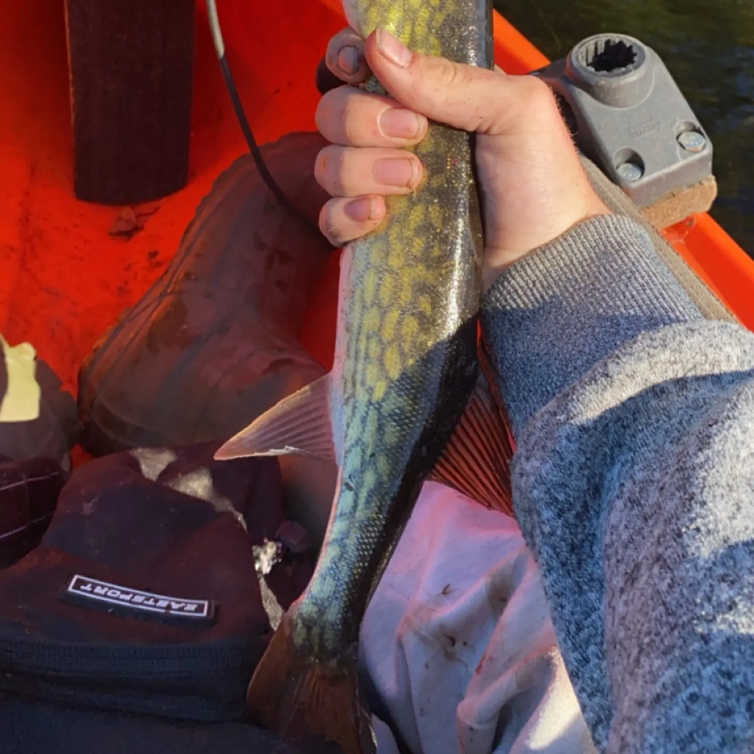
Chain pickerel
Restrictions & requirements
ME Illegal Fishing
Except as otherwise provided, it is unlawful to fish other than with a single baited hook and line, artificial flies or artificial lures and spinners. This does not apply to hook and line smelt fishing. All other rules and regulations governing the taking of smelt apply.Use of gaff is unlawful.Except as otherwise provided, it is unlawful to possess any grapnel, trawl, weir, seine, gill net, trap, set line or drop net on or adjacent to any of the inland waters of Maine. Except as otherwise provided, it is unlawful to fish with a grapnel, spear, spear gun, trawl, weir, gaff, seine, gill net, trap, or set lines. Unless otherwise provided by rule, the number of lines an angler may fish at any one time is limited to two lines while open water fishing and five lines while ice fishing. At no time may an angler fish with more than five lines.
ME Removal of Head and Tail
It is unlawful to alter the length of landlocked salmon, trout, togue, lake whitefish, and bass unless the fish are being prepared for immediate cooking. It is unlawful to possess or transport fish dressed in such a manner that the species of fish cannot be identified; unless the fish are being prepared for immediate cooking (smoking does not constitute cooking).
ME Snagging
It is unlawful to fish for any fish, except suckers, by snagging.
ME Explosives and Chemicals
It is unlawful to take or destroy any fish by use of an explosive, poisonous or stupefying substance.
ME Live Baitfish
In the North Zone: Use or possession of LIVE FISH as bait is PROHIBITED. The use of all other legal forms of bait (including worms and dead baitfish/smelts), artificial lures, and artificial flies is PERMITTED. In the South Zone: Use of all legal forms of bait (including live baitfish/smelts), artificial lures, and artificial flies is PERMITTED.
Required licenses
Additional information
Edibility
Synonyms

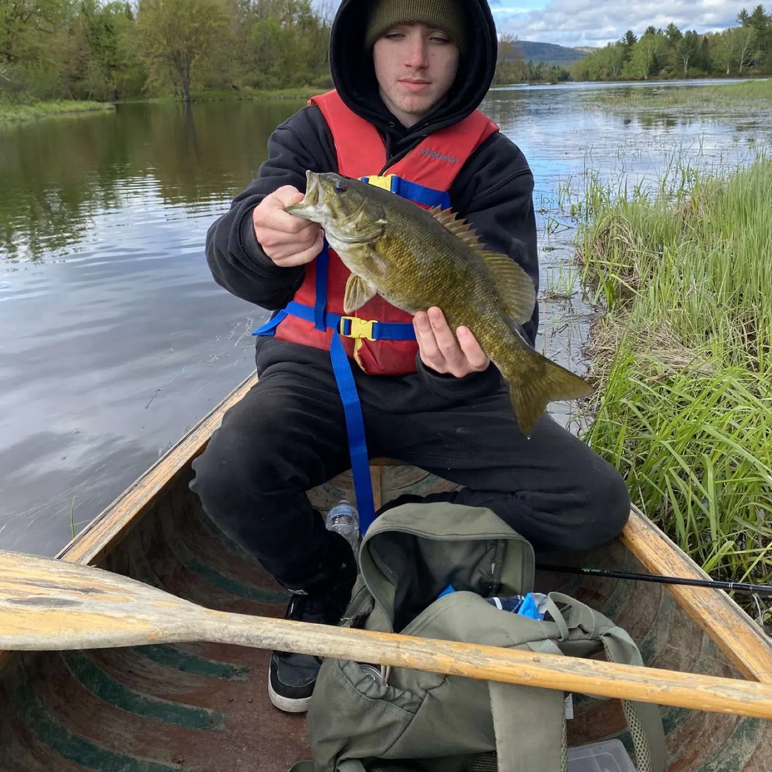
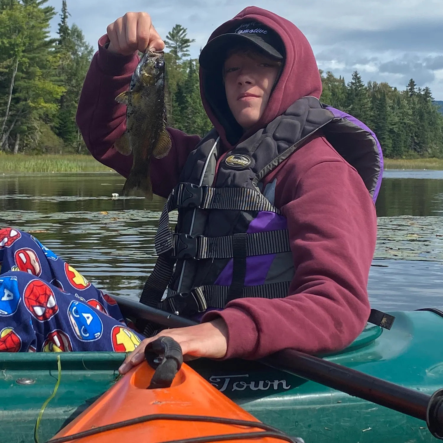
Smallmouth bass
Bag limit2
The maximum number of individual fish legally harvested per harvester per day. Bag limits are only for properly licensed anglers actively harvesting the species. People who are not actively harvesting or are not properly licensed (if a license is required) may NOT be counted for the purpose of bag limits.
Aggregate limit2
The maximum number of individual fish across an aggregate group of species legally harvested per harvester per day.
Memorable / trophy limits1 > 14
The maximum number of trophy individuals legally harvested per harvester per day. A trophy is any individual of a length greater than the max size limit. Trophy individuals are included in the daily bag limit unless stated otherwise.
Restrictions & requirements
ME Illegal Fishing
Except as otherwise provided, it is unlawful to fish other than with a single baited hook and line, artificial flies or artificial lures and spinners. This does not apply to hook and line smelt fishing. All other rules and regulations governing the taking of smelt apply.Use of gaff is unlawful.Except as otherwise provided, it is unlawful to possess any grapnel, trawl, weir, seine, gill net, trap, set line or drop net on or adjacent to any of the inland waters of Maine. Except as otherwise provided, it is unlawful to fish with a grapnel, spear, spear gun, trawl, weir, gaff, seine, gill net, trap, or set lines. Unless otherwise provided by rule, the number of lines an angler may fish at any one time is limited to two lines while open water fishing and five lines while ice fishing. At no time may an angler fish with more than five lines.
ME Removal of Head and Tail
It is unlawful to alter the length of landlocked salmon, trout, togue, lake whitefish, and bass unless the fish are being prepared for immediate cooking. It is unlawful to possess or transport fish dressed in such a manner that the species of fish cannot be identified; unless the fish are being prepared for immediate cooking (smoking does not constitute cooking).
ME Snagging
It is unlawful to fish for any fish, except suckers, by snagging.
ME Explosives and Chemicals
It is unlawful to take or destroy any fish by use of an explosive, poisonous or stupefying substance.
ME Live Baitfish
In the North Zone: Use or possession of LIVE FISH as bait is PROHIBITED. The use of all other legal forms of bait (including worms and dead baitfish/smelts), artificial lures, and artificial flies is PERMITTED. In the South Zone: Use of all legal forms of bait (including live baitfish/smelts), artificial lures, and artificial flies is PERMITTED.
Additional information
Synonyms
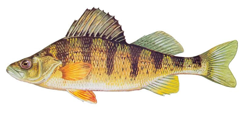
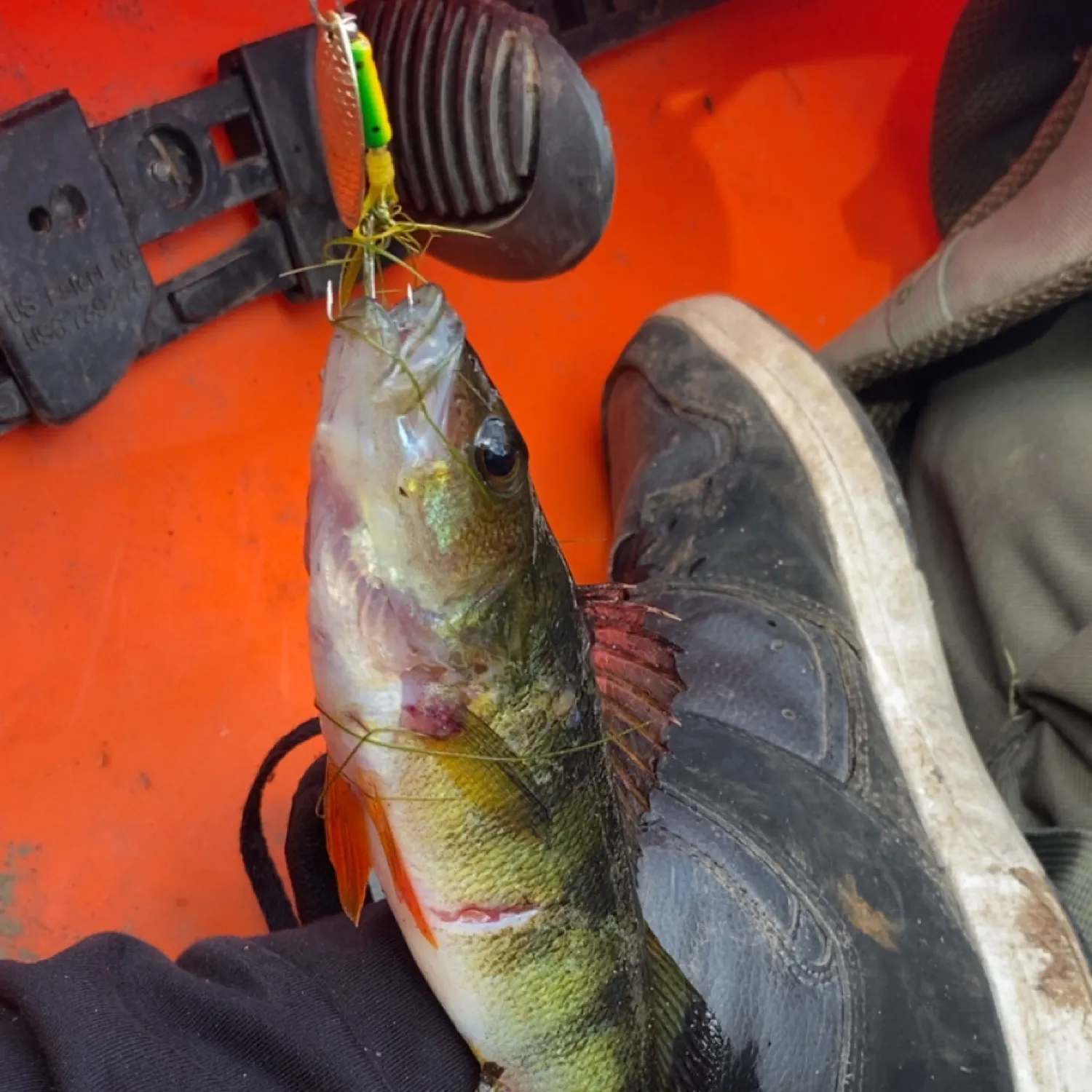
Yellow perch
Restrictions & requirements
ME Illegal Fishing
Except as otherwise provided, it is unlawful to fish other than with a single baited hook and line, artificial flies or artificial lures and spinners. This does not apply to hook and line smelt fishing. All other rules and regulations governing the taking of smelt apply.Use of gaff is unlawful.Except as otherwise provided, it is unlawful to possess any grapnel, trawl, weir, seine, gill net, trap, set line or drop net on or adjacent to any of the inland waters of Maine. Except as otherwise provided, it is unlawful to fish with a grapnel, spear, spear gun, trawl, weir, gaff, seine, gill net, trap, or set lines. Unless otherwise provided by rule, the number of lines an angler may fish at any one time is limited to two lines while open water fishing and five lines while ice fishing. At no time may an angler fish with more than five lines.
ME Removal of Head and Tail
It is unlawful to alter the length of landlocked salmon, trout, togue, lake whitefish, and bass unless the fish are being prepared for immediate cooking. It is unlawful to possess or transport fish dressed in such a manner that the species of fish cannot be identified; unless the fish are being prepared for immediate cooking (smoking does not constitute cooking).
ME Snagging
It is unlawful to fish for any fish, except suckers, by snagging.
ME Explosives and Chemicals
It is unlawful to take or destroy any fish by use of an explosive, poisonous or stupefying substance.
ME Live Baitfish
In the North Zone: Use or possession of LIVE FISH as bait is PROHIBITED. The use of all other legal forms of bait (including worms and dead baitfish/smelts), artificial lures, and artificial flies is PERMITTED. In the South Zone: Use of all legal forms of bait (including live baitfish/smelts), artificial lures, and artificial flies is PERMITTED.
Required licenses
Additional information
Edibility
Synonyms


Free trial available