
Top fish species at American Falls Reservoir

Check which species have trophy potential in American Falls Reservoir
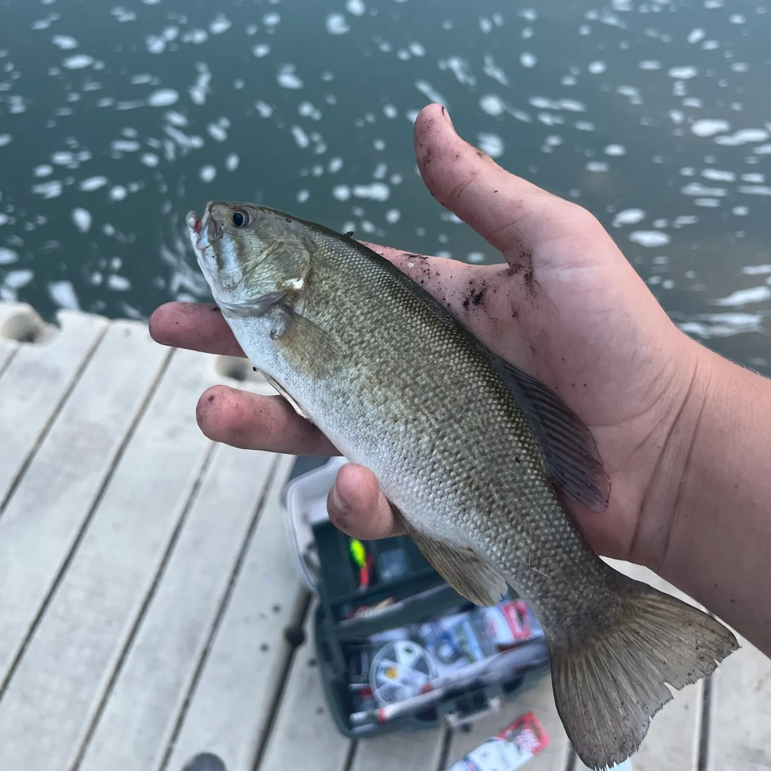
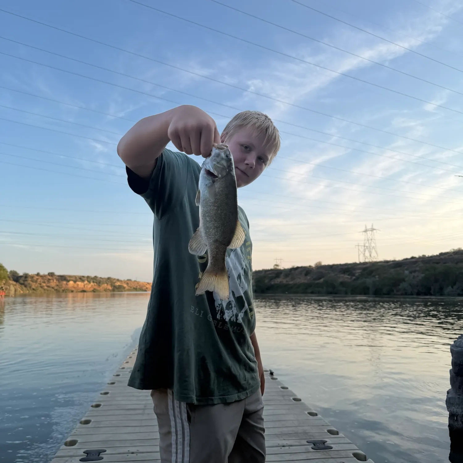
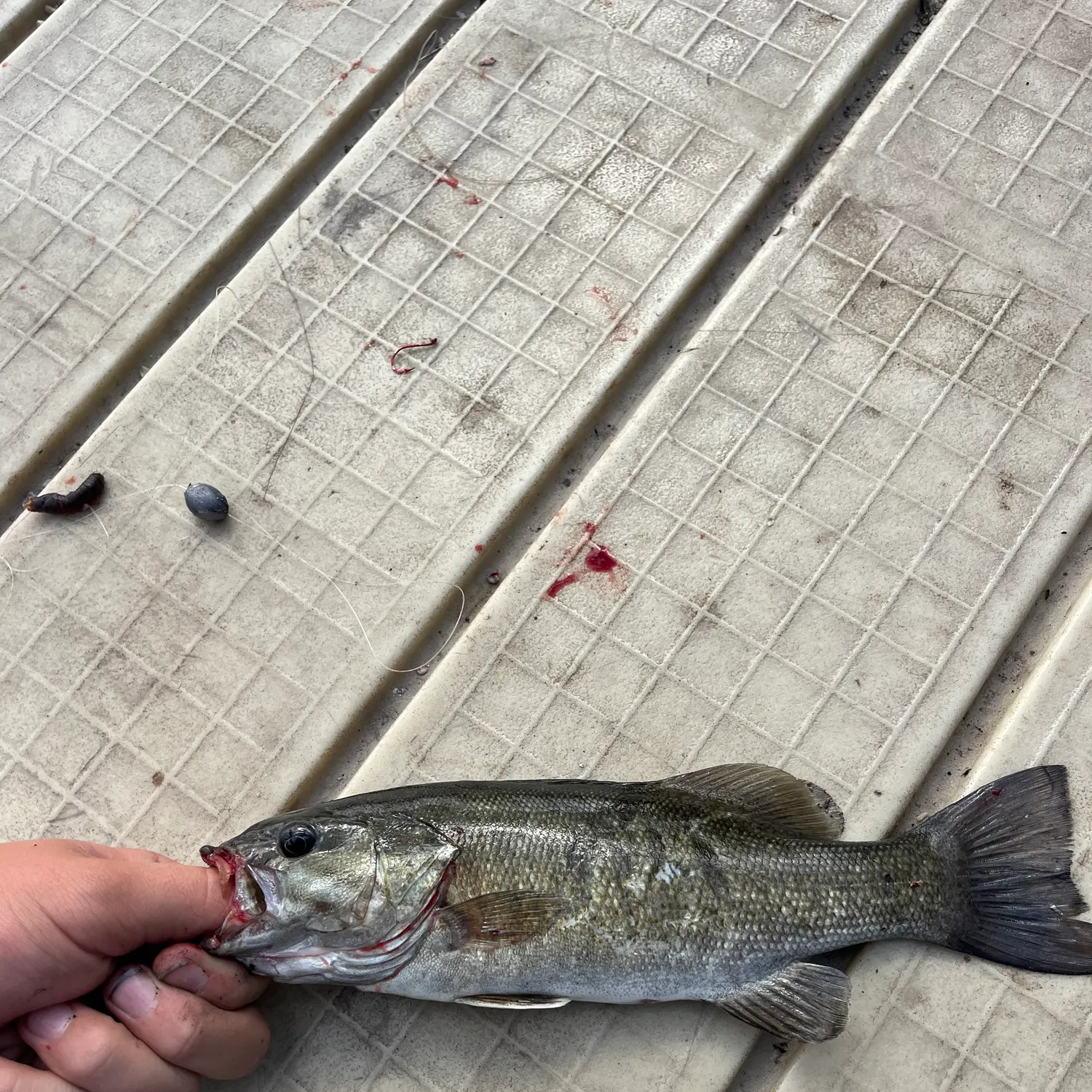
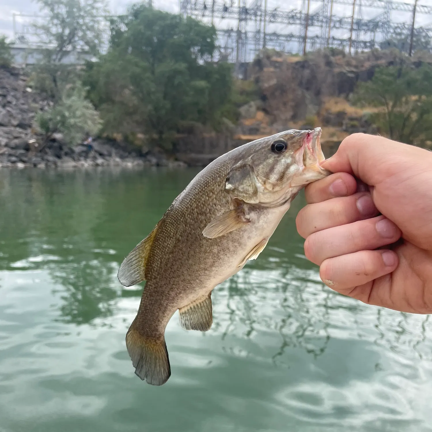
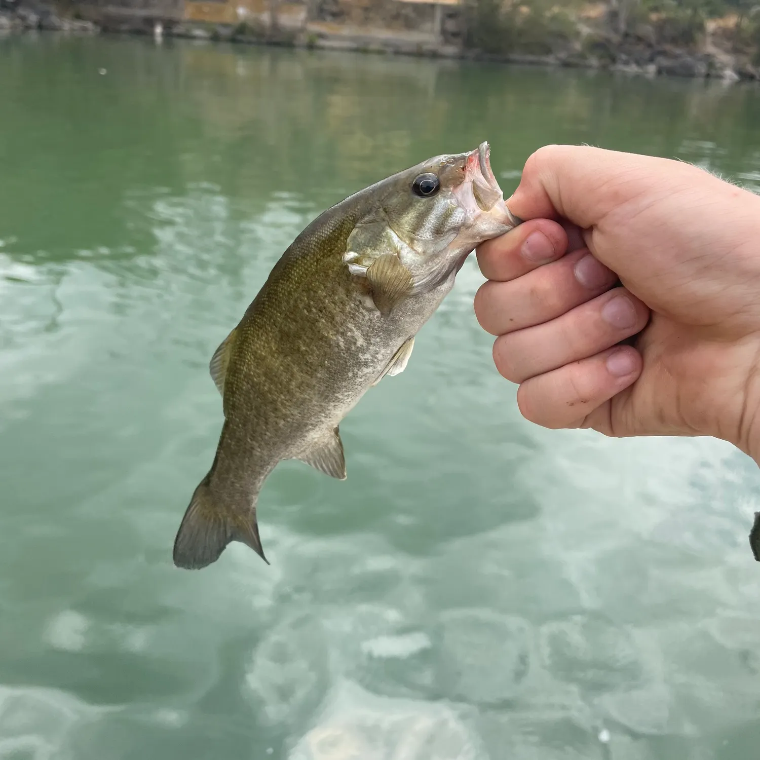
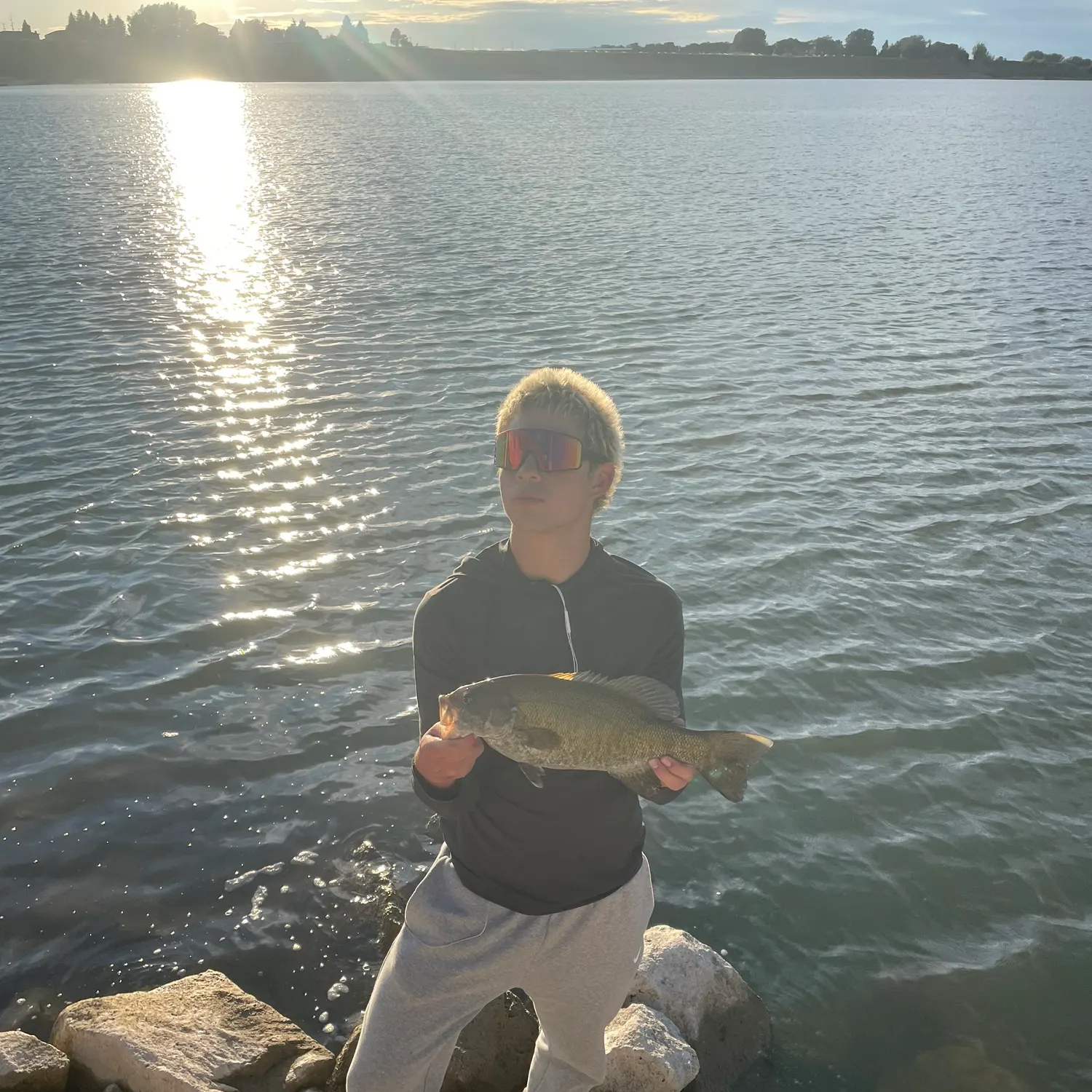
American Falls Reservoir fishing reports

Continue browsing catches and catch locations in the Fishbrain app
When are Brown trout biting on American Falls Reservoir?
Learn what time of year and day to go fishing at American Falls Reservoir. Download Fishbrain today to look for new fishing spots, scout new fishing access, or prep for your next trip.

Fishing regulations at American Falls Reservoir, ID
Disclaimer: Always check local fishing regulations, water access rights and land ownership before fishing, regardless of any catches logged in that area by the Fishbrain community. Fishbrain has mapped millions of acres of government-owned land across the USA to help you identify potential fishing access, but you are responsible for ensuring compliance with all legal requirements.
Fishing regulations in Idaho can change throughout the year. Make sure to check this page before fishing for the most up to date rules and regulations for the current season. Local regulations govern when you can fish, the max size of the fish you can keep, how many fish you can keep, and more.
Regulations for top species

Smallmouth bass
Bag limit6
The maximum number of individual fish legally harvested per harvester per day. Bag limits are only for properly licensed anglers actively harvesting the species. People who are not actively harvesting or are not properly licensed (if a license is required) may NOT be counted for the purpose of bag limits.
Min size14" (Total Length)
No person shall harvest any individual fish less than the minimum size limit.
Total length means the straight line distance from the most forward point of the head with the mouth closed, to the farthest tip of the tail with the tail compressed or squeezed, while the fish is lying on its side.
Aggregate limit6
The maximum number of individual fish across an aggregate group of species legally harvested per harvester per day.
Restrictions & requirements
ID Chumming
The use of any substance not attached to a hook that is intended to attract fish. It is illegal to chum while fishing in Idaho.
ID Illegal Methods
It is illegal to use chemicals, poisons, electric current, or explosives for fishing.
ID Shooting and Molesting Fish
It is illegal to molest any fish by shooting at it with a firearm or pellet gun, striking at it with a club, hands, rocks, or other objects, building obstructions for catching fish, or chasing fish up or downstream in any manner.
ID Weir or Fish Trip
Fishing is not allowed within the posted upstream and downstream boundary of any fish weir or trap.
ID Clipped and Unclipped Adipose Fins
Steelhead with an unclipped adipose fin must be released. Fall Chinook Salmon and Coho Salmon with an unclipped adipose fish can be kept. Spring and summer Chinook Salmon seasons are set annually and anglers should refer to season proclamations to determine if spring and summer Chinook Salmon with an unclipped adipose fin can be retained. Clipped Adipose Fin: Hatchery steelhead or salmon may be kept if the adipose fin has been clipped as evidenced by a healed scar.
ID Archery and Spear Fishing
Archery and Spear Fishing: Fishing with a bow and arrow, crossbow, spear or mechanical device, excluding firearms. This type of fishing is permitted only in the taking of bullfrogs and unprotected nongame fish and only in those waters during the season set for the taking of game fish.
ID Bait Restriction
Use of live fish, leeches, frogs, salamanders, waterdogs or shrimp as bait is prohibited in Idaho, except that live crayfish may be used if caught on the body of water being fished.
ID Number of Lines and hooks
It is unlawful to fish in any waters of Idaho with more than one (1) handline or pole with a line attached, except a person with a two (2) pole permit may use two (2) poles; or with more than five (5) lines while ice fishing; or by archery, spearfishing, snagging, hands, and netting except as permitted. Not more than five (5) hooks may be attached per line. The line or lines must be attended by the person fishing.
ID Gaff Hook
It is illegal to land fish of any species with a gaff hook except through a hole cut or broken in the ice in waters which have no length restrictions or harvest closures for that species or when landing non-game fish taken with archery equipment.
ID Fishing by Hand
The only fish you can legally catch and harvest using your hands are crayfish and bullfrogs. You must use fishing gear to harvest all other fish species.
ID Snagging
Game fish cannot be harvested unless hooked in the mouth or jaw. Snag fishing is illegal except where allowed by special rule. Snagging of unprotected nongame fish species is permitted.
ID Snake River state boundary between ID OR WA
Snake River between Idaho and Oregon or Washington:The holder of a valid Idaho fishing license may fish the Snake River where it forms the boundary between the states of Idaho and Oregon or Washington, subject to the fish and game laws of Idaho but may not fish from the shore including wading, and may not fish in sloughs or tributaries on the Oregon or Washington side. An Oregon or Washington license holder has the same rights and restrictions with reference to the Idaho side.Any angler who fishes on the Snake River or any other water forming an Idaho boundary is entitled to have in possession only the limit allowed by one license regardless of the number of licenses in possession.
ID Attendance of Fishing Gear
Attendance of Fishing Gear: You must attend to your fishing gear while fishing. This means being able to watch your rod at all times and be able to react to a potential strike.
Synonyms
Location regulation notes
Location specific information
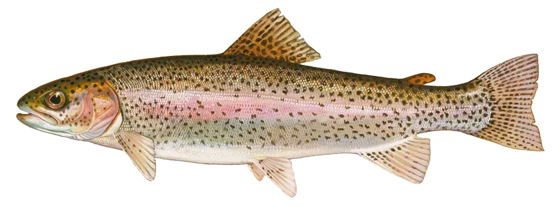
Rainbow trout
Bag limit6
The maximum number of individual fish legally harvested per harvester per day. Bag limits are only for properly licensed anglers actively harvesting the species. People who are not actively harvesting or are not properly licensed (if a license is required) may NOT be counted for the purpose of bag limits.
Aggregate limit6
The maximum number of individual fish across an aggregate group of species legally harvested per harvester per day.
Restrictions & requirements
ID Chumming
The use of any substance not attached to a hook that is intended to attract fish. It is illegal to chum while fishing in Idaho.
ID Illegal Methods
It is illegal to use chemicals, poisons, electric current, or explosives for fishing.
ID Shooting and Molesting Fish
It is illegal to molest any fish by shooting at it with a firearm or pellet gun, striking at it with a club, hands, rocks, or other objects, building obstructions for catching fish, or chasing fish up or downstream in any manner.
ID Weir or Fish Trip
Fishing is not allowed within the posted upstream and downstream boundary of any fish weir or trap.
ID Clipped and Unclipped Adipose Fins
Steelhead with an unclipped adipose fin must be released. Fall Chinook Salmon and Coho Salmon with an unclipped adipose fish can be kept. Spring and summer Chinook Salmon seasons are set annually and anglers should refer to season proclamations to determine if spring and summer Chinook Salmon with an unclipped adipose fin can be retained. Clipped Adipose Fin: Hatchery steelhead or salmon may be kept if the adipose fin has been clipped as evidenced by a healed scar.
ID Archery and Spear Fishing
Archery and Spear Fishing: Fishing with a bow and arrow, crossbow, spear or mechanical device, excluding firearms. This type of fishing is permitted only in the taking of bullfrogs and unprotected nongame fish and only in those waters during the season set for the taking of game fish.
ID Bait Restriction
Use of live fish, leeches, frogs, salamanders, waterdogs or shrimp as bait is prohibited in Idaho, except that live crayfish may be used if caught on the body of water being fished.
ID Number of Lines and hooks
It is unlawful to fish in any waters of Idaho with more than one (1) handline or pole with a line attached, except a person with a two (2) pole permit may use two (2) poles; or with more than five (5) lines while ice fishing; or by archery, spearfishing, snagging, hands, and netting except as permitted. Not more than five (5) hooks may be attached per line. The line or lines must be attended by the person fishing.
ID Gaff Hook
It is illegal to land fish of any species with a gaff hook except through a hole cut or broken in the ice in waters which have no length restrictions or harvest closures for that species or when landing non-game fish taken with archery equipment.
ID Fishing by Hand
The only fish you can legally catch and harvest using your hands are crayfish and bullfrogs. You must use fishing gear to harvest all other fish species.
ID Snagging
Game fish cannot be harvested unless hooked in the mouth or jaw. Snag fishing is illegal except where allowed by special rule. Snagging of unprotected nongame fish species is permitted.
ID Snake River state boundary between ID OR WA
Snake River between Idaho and Oregon or Washington:The holder of a valid Idaho fishing license may fish the Snake River where it forms the boundary between the states of Idaho and Oregon or Washington, subject to the fish and game laws of Idaho but may not fish from the shore including wading, and may not fish in sloughs or tributaries on the Oregon or Washington side. An Oregon or Washington license holder has the same rights and restrictions with reference to the Idaho side.Any angler who fishes on the Snake River or any other water forming an Idaho boundary is entitled to have in possession only the limit allowed by one license regardless of the number of licenses in possession.
ID Attendance of Fishing Gear
Attendance of Fishing Gear: You must attend to your fishing gear while fishing. This means being able to watch your rod at all times and be able to react to a potential strike.
Additional information
Edibility
Synonyms
Location regulation notes
Location specific information
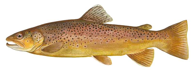
Brown trout
Bag limit6
The maximum number of individual fish legally harvested per harvester per day. Bag limits are only for properly licensed anglers actively harvesting the species. People who are not actively harvesting or are not properly licensed (if a license is required) may NOT be counted for the purpose of bag limits.
Aggregate limit6
The maximum number of individual fish across an aggregate group of species legally harvested per harvester per day.
Restrictions & requirements
ID Chumming
The use of any substance not attached to a hook that is intended to attract fish. It is illegal to chum while fishing in Idaho.
ID Illegal Methods
It is illegal to use chemicals, poisons, electric current, or explosives for fishing.
ID Shooting and Molesting Fish
It is illegal to molest any fish by shooting at it with a firearm or pellet gun, striking at it with a club, hands, rocks, or other objects, building obstructions for catching fish, or chasing fish up or downstream in any manner.
ID Weir or Fish Trip
Fishing is not allowed within the posted upstream and downstream boundary of any fish weir or trap.
ID Clipped and Unclipped Adipose Fins
Steelhead with an unclipped adipose fin must be released. Fall Chinook Salmon and Coho Salmon with an unclipped adipose fish can be kept. Spring and summer Chinook Salmon seasons are set annually and anglers should refer to season proclamations to determine if spring and summer Chinook Salmon with an unclipped adipose fin can be retained. Clipped Adipose Fin: Hatchery steelhead or salmon may be kept if the adipose fin has been clipped as evidenced by a healed scar.
ID Archery and Spear Fishing
Archery and Spear Fishing: Fishing with a bow and arrow, crossbow, spear or mechanical device, excluding firearms. This type of fishing is permitted only in the taking of bullfrogs and unprotected nongame fish and only in those waters during the season set for the taking of game fish.
ID Bait Restriction
Use of live fish, leeches, frogs, salamanders, waterdogs or shrimp as bait is prohibited in Idaho, except that live crayfish may be used if caught on the body of water being fished.
ID Number of Lines and hooks
It is unlawful to fish in any waters of Idaho with more than one (1) handline or pole with a line attached, except a person with a two (2) pole permit may use two (2) poles; or with more than five (5) lines while ice fishing; or by archery, spearfishing, snagging, hands, and netting except as permitted. Not more than five (5) hooks may be attached per line. The line or lines must be attended by the person fishing.
ID Gaff Hook
It is illegal to land fish of any species with a gaff hook except through a hole cut or broken in the ice in waters which have no length restrictions or harvest closures for that species or when landing non-game fish taken with archery equipment.
ID Fishing by Hand
The only fish you can legally catch and harvest using your hands are crayfish and bullfrogs. You must use fishing gear to harvest all other fish species.
ID Snagging
Game fish cannot be harvested unless hooked in the mouth or jaw. Snag fishing is illegal except where allowed by special rule. Snagging of unprotected nongame fish species is permitted.
ID Snake River state boundary between ID OR WA
Snake River between Idaho and Oregon or Washington:The holder of a valid Idaho fishing license may fish the Snake River where it forms the boundary between the states of Idaho and Oregon or Washington, subject to the fish and game laws of Idaho but may not fish from the shore including wading, and may not fish in sloughs or tributaries on the Oregon or Washington side. An Oregon or Washington license holder has the same rights and restrictions with reference to the Idaho side.Any angler who fishes on the Snake River or any other water forming an Idaho boundary is entitled to have in possession only the limit allowed by one license regardless of the number of licenses in possession.
ID Attendance of Fishing Gear
Attendance of Fishing Gear: You must attend to your fishing gear while fishing. This means being able to watch your rod at all times and be able to react to a potential strike.
Additional information
Edibility
Synonyms
Location regulation notes
Location specific information


Free trial available