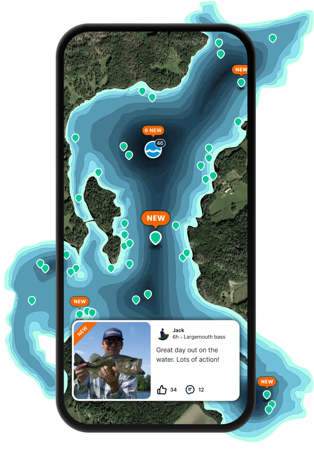
Map

Uhauʻiole Stream

Fishing spots, fishing reports, and regulations in

Hawaii, United States

3.0·2 catches

Top fish species at Uhauʻiole Stream

Smallmouth bass
Smallmouth bass
App Section

Check which species have trophy potential in Uhauʻiole Stream

Uhauʻiole Stream fishing reports

Loading...

Smallmouth bass

length · weight

Loading...

Smallmouth bass

8 in · 4 oz

Fishbrain
Have you been fishing here?

Log your catch and check out other catches from the community in the Fishbrain app.

Loading...
Loading...
Loading...

General info

Uhauʻiole Stream is a stream located in Kauai County, Hawaii, United States. It is most popular for fishing Smallmouth bass.

Location

22°04′46.8″N 159°25′44.7″W
Directions

Amenities

Fishing regulations at Uhauʻiole Stream, HI

Disclaimer: Always check local fishing regulations, water access rights and land ownership before fishing, regardless of any catches logged in that area by the Fishbrain community. Fishbrain has mapped millions of acres of government-owned land across the USA to help you identify potential fishing access, but you are responsible for ensuring compliance with all legal requirements.

Fishing regulations in Hawaii can change throughout the year. Make sure to check this page before fishing for the most up to date rules and regulations for the current season. Local regulations govern when you can fish, the max size of the fish you can keep, how many fish you can keep, and more.

Regulations for top species
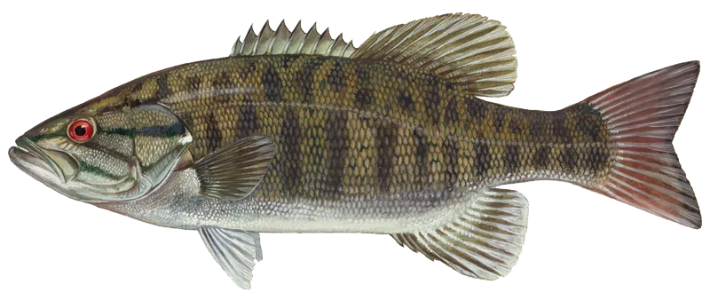
Season open: year-round
Smallmouth bass

Smallmouth bass

Regulation boundaryHI Hawaii State Waters
Bag limit10

The maximum number of individual fish legally harvested per harvester per day. Bag limits are only for properly licensed anglers actively harvesting the species. People who are not actively harvesting or are not properly licensed (if a license is required) may NOT be counted for the purpose of bag limits.

Min size9" (Total Length)

No person shall harvest any individual fish less than the minimum size limit.

Total length means the straight line distance from the most forward point of the head with the mouth closed, to the farthest tip of the tail with the tail compressed or squeezed, while the fish is lying on its side.

Aggregate limit10

The maximum number of individual fish across an aggregate group of species legally harvested per harvester per day.

Required licenses
Freshwater Game Fishing License
Additional information
In Wahiawā Public Fishing Area catch-and-release only. Unlawful to keep, retain, hold, or kill any bass or tucunare. Bass or tucunare brought to shore or on board a vessel must be returned to the water immediately. In Wailua Reservoir Public Fishing Area bag limit = 2; minimum size = 9 inches total length; Aggregate total bag limit of 3 fish applies.
Synonyms
Micropterus dolomieui
Location regulation notes
To see maps of DAR's official marine managed areas, please see Hawaii DAR's ARCGIS Map Viewer.
Location specific information
To see maps of DAR's official marine managed areas, please see Hawaii DAR's ARCGIS Map Viewer.
License Icon
Local laws and licenses

Hawaii fishing license

Get license

Reviews of Uhauʻiole Stream

3.0
Loading...

1 ratings

5
4
3
2
1
Top reviews

Cities nearby

Wailua Homesteads

3.5 miles away

Wailua

5.9 miles away

Hanamaulu

7.7 miles away

Puhi

8.5 miles away

Anahola

8.6 miles away

Lihue

8.8 miles away

Kilauea

9.3 miles away

Hanalei

9.7 miles away

Princeville

10.1 miles away

Wainiha

11.1 miles away

Omao

11.3 miles away

Haena

12.8 miles away

Kalaheo

12.8 miles away

Poipu

13.7 miles away

Eleele

15.3 miles away

Hanapepe

15.3 miles away

Pakala Village

16.6 miles away

Kekaha

19.8 miles away

Mokuleia

87.8 miles away

Makaha

88.7 miles away

Makaha Valley

89.8 miles away

Waialua

91.1 miles away

Waianae

91.2 miles away

Haleiwa

91.5 miles away

Anything missing or inaccurate?

Suggest changes to improve what we show.

Suggest changes

FAQ about Uhauʻiole Stream fishing

📍 Where is the Uhauʻiole Stream located?
the Uhauʻiole Stream is a stream located in Kauai County, Hawaii, United States. Its coordinates are:
22°04′46.8″N 159°25′44.7″W
.
🎣 Where on the Uhauʻiole Stream is it best to fish?
Find the best fishing spots on the Uhauʻiole Stream by looking at where other anglers have caught fish. This can easily be done in the where it is also possible to see big fish potential and how good fishing is right now along with Garmin® depth maps.
🐟 What species are in the Uhauʻiole Stream?
The most common species in the Uhauʻiole Stream are:
📢 What are the latest Uhauʻiole Stream fishing reports?
The latest Uhauʻiole Stream fishing reports are:
🗓️ What species are in season at the Uhauʻiole Stream right now?
According to fishing regulations at the Uhauʻiole Stream, some of the species in season this November include: Striped mullet, and Sixfinger threadfin. For full details on other species — including bag limits, minimum and maximum size limits, and seasonal closures — download the .
🪪 Do I need a fishing license to fish at the Uhauʻiole Stream?

Fishing in Hawaii requires a valid state fishing license for anglers. Saltwater licenses include resident and non-resident options, available online and at authorized vendors.

In Hawaii, no freshwater fishing license is required for anglers of any age. A few other exceptions worth knowing:

  • Free fishing days — most states designate 1–2 weekends a year where anyone can fish without a license

  • Tribal waters — tribal members fishing on tribal land operate under separate tribal regulations

  • Private ponds — landowners fishing their own water typically don't need a license

Non-residents usually pay more for a license than residents. Some species also require an extra stamp or endorsement on top of your base license.

Get license
App Section
Download Fishbrain and fish smarter
Unlimited access to the best fishing spot finder in the game. Get all the fishing intel you need to start catching more, and bigger, fish.

Free trial available

Loading...
Loading...
Loading...
Loading...