
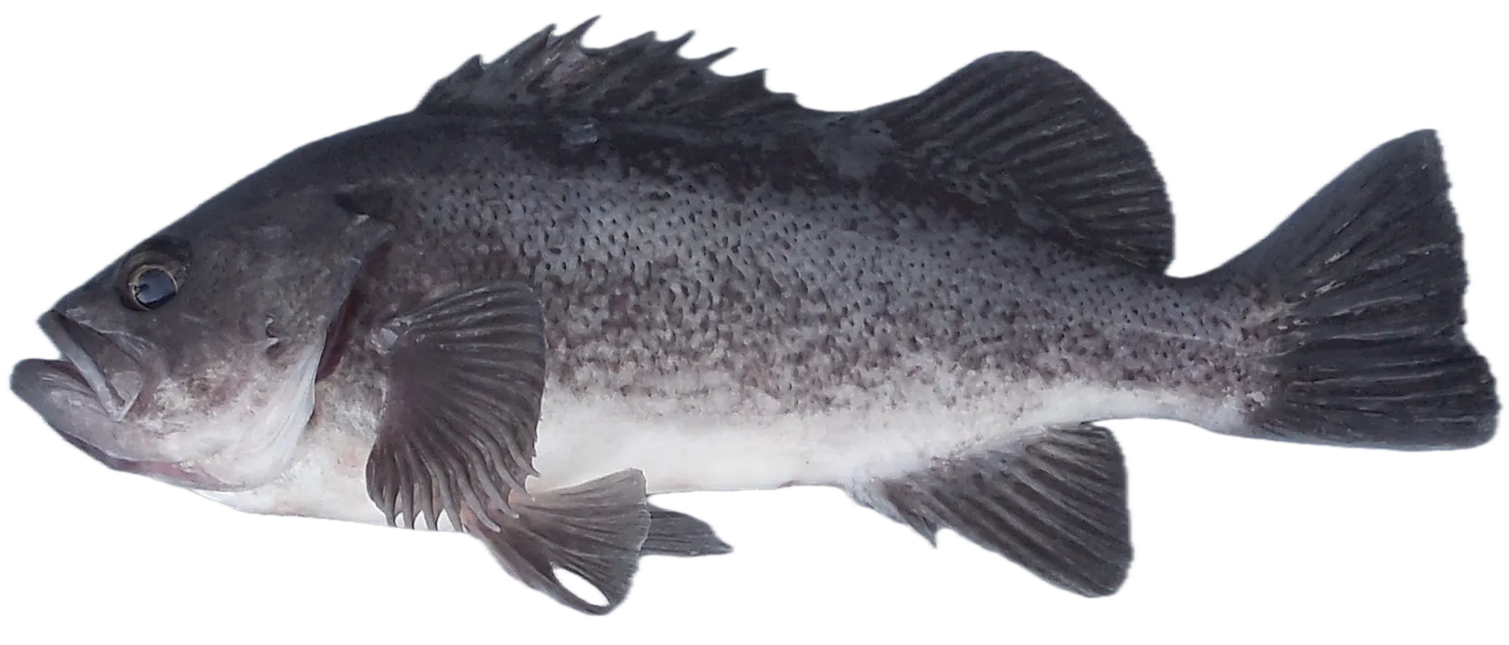
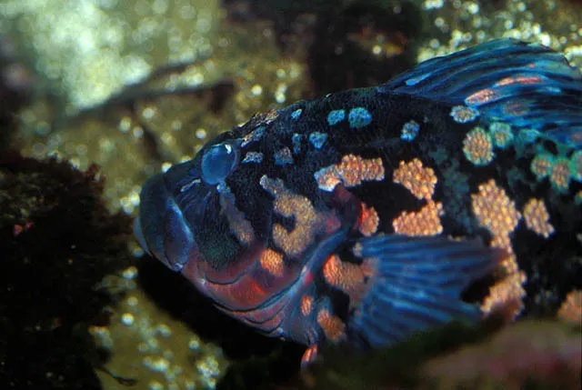
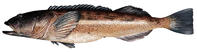
Top fish species at Coos Bay Entrance

Check which species have trophy potential in Coos Bay Entrance
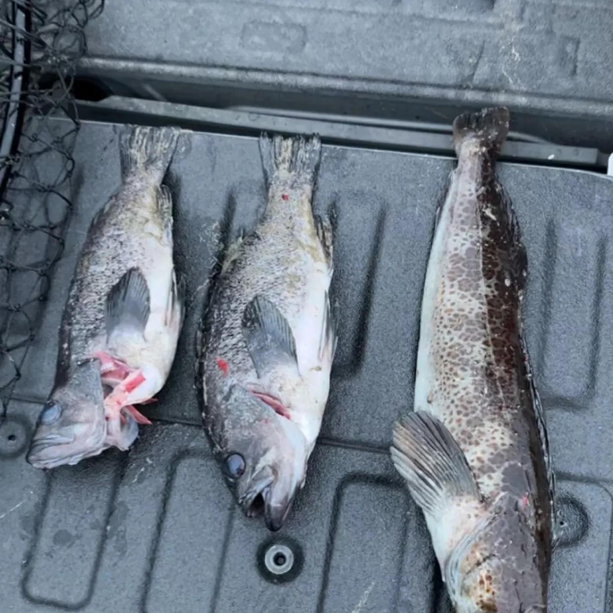
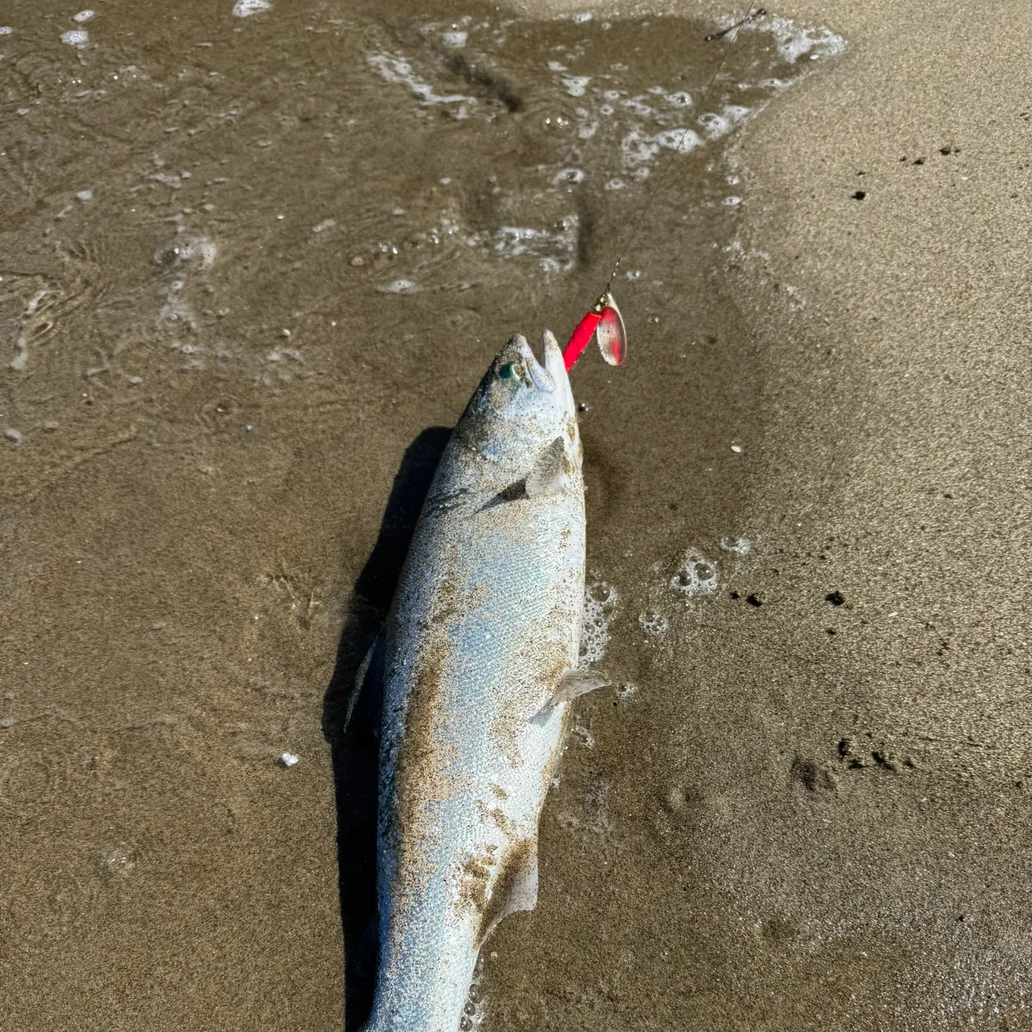
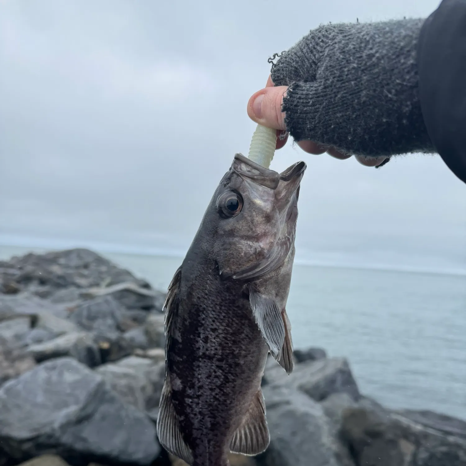
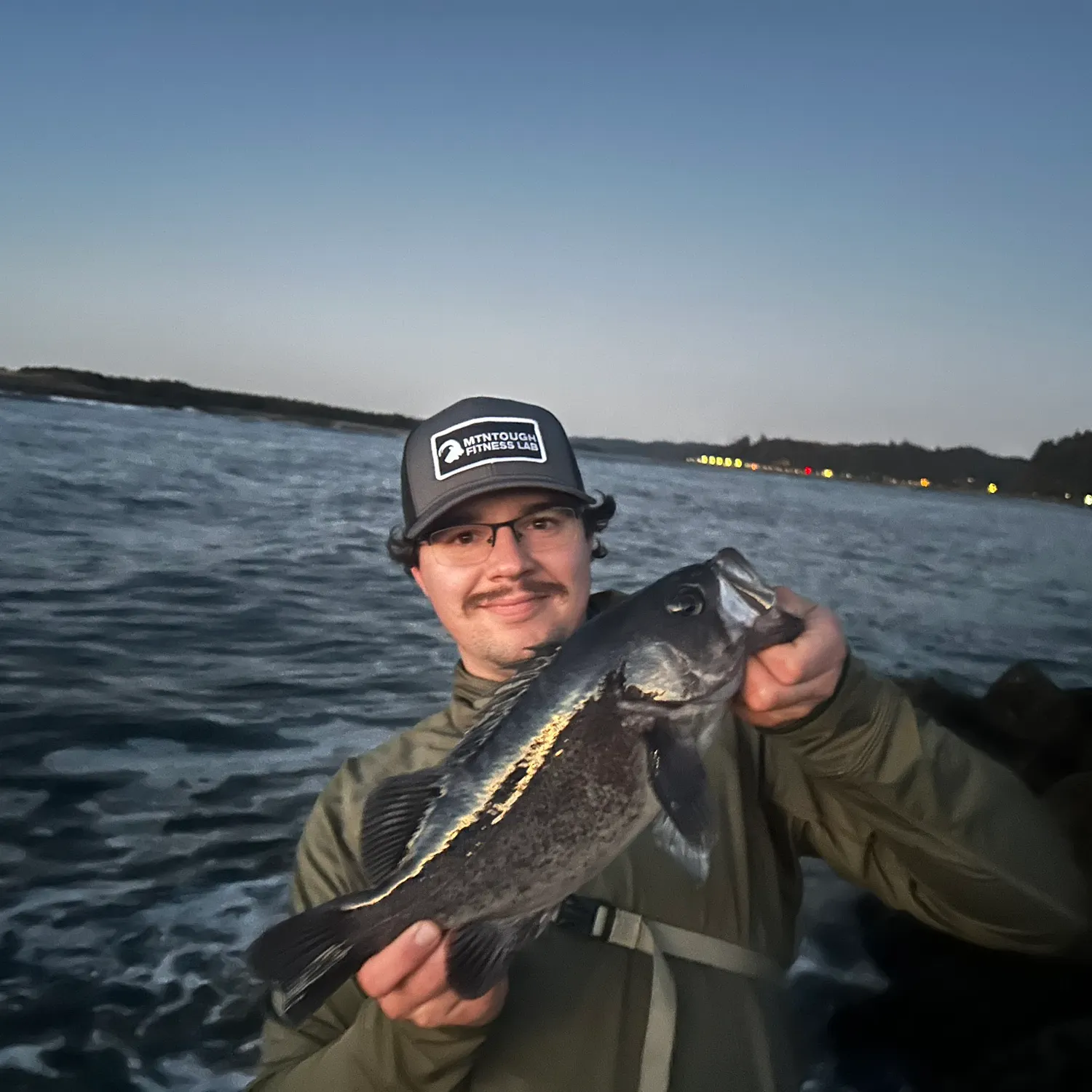
Coos Bay Entrance fishing reports

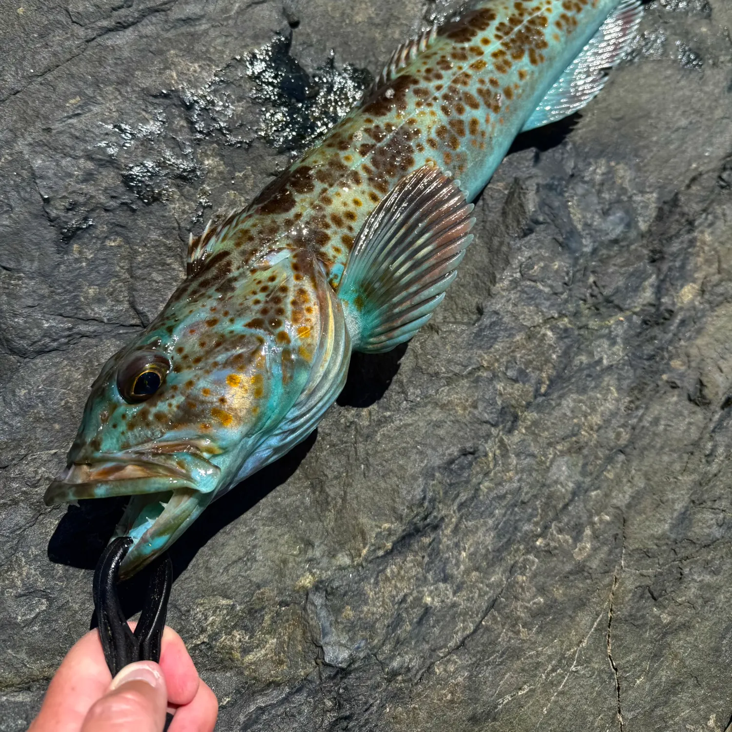
length · weight

Continue browsing catches and catch locations in the Fishbrain app
Fishing regulations at Coos Bay Entrance, OR
Disclaimer: Always check local fishing regulations, water access rights and land ownership before fishing, regardless of any catches logged in that area by the Fishbrain community. Fishbrain has mapped millions of acres of government-owned land across the USA to help you identify potential fishing access, but you are responsible for ensuring compliance with all legal requirements.
Fishing regulations in Oregon can change throughout the year. Make sure to check this page before fishing for the most up to date rules and regulations for the current season. Local regulations govern when you can fish, the max size of the fish you can keep, how many fish you can keep, and more.


Free trial available