
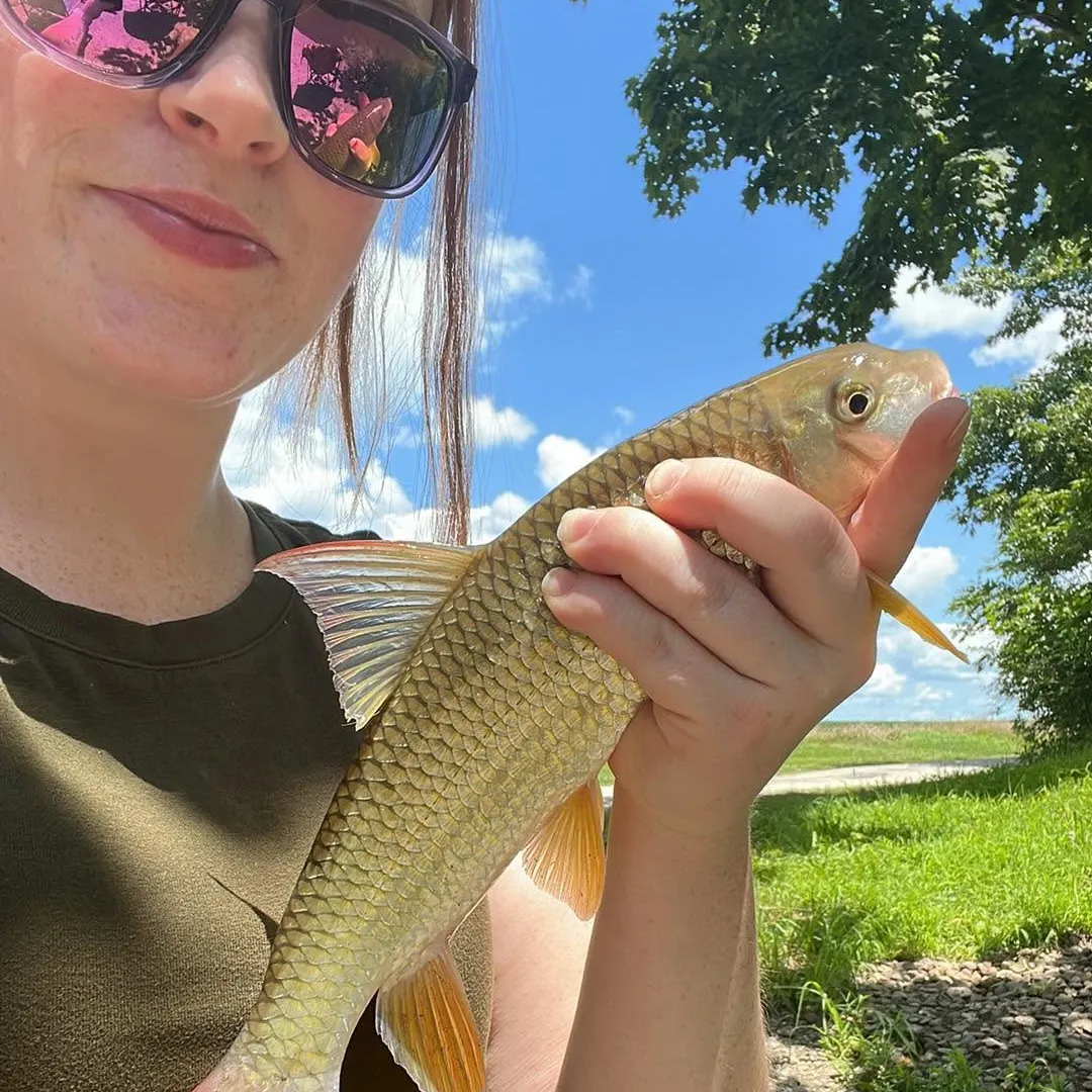
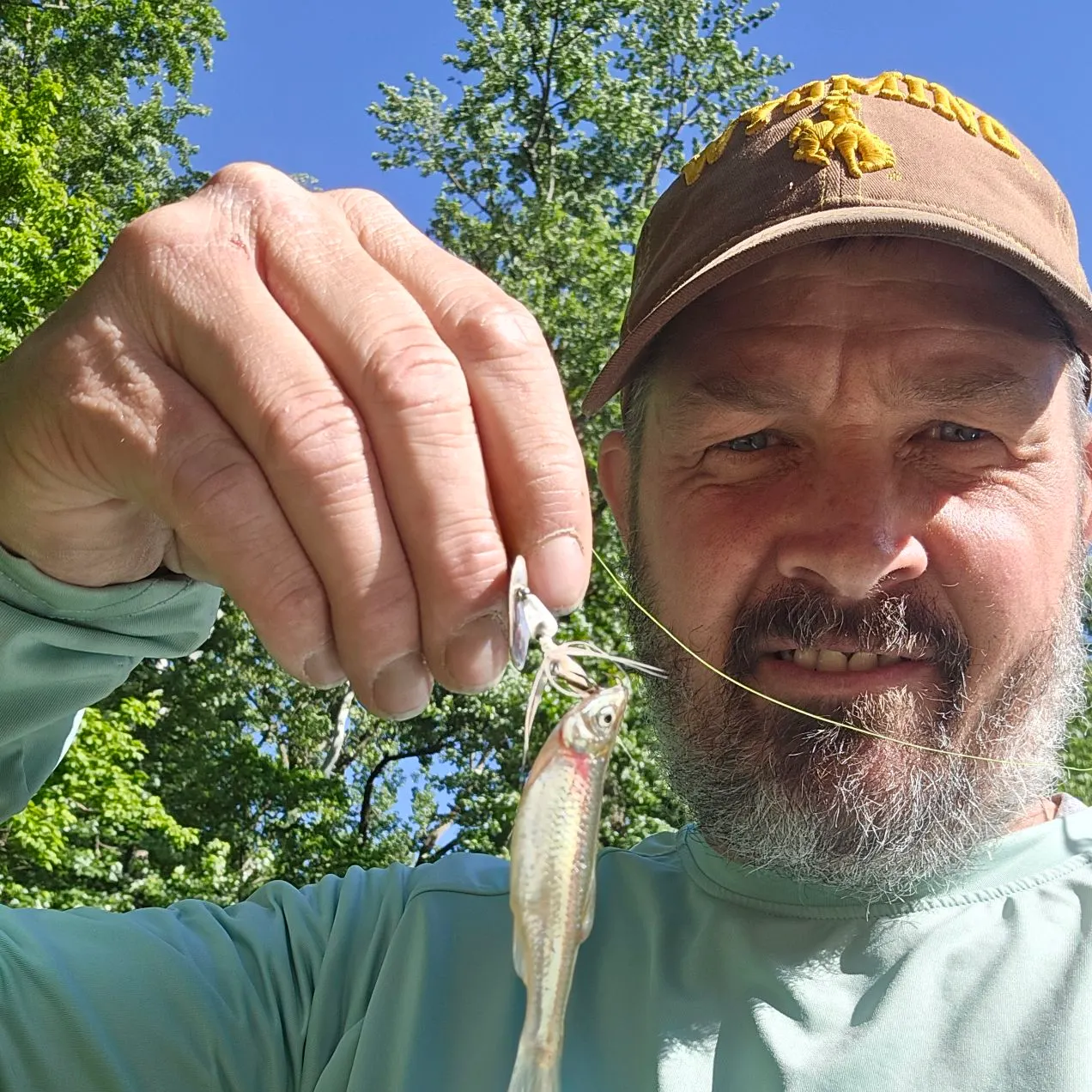
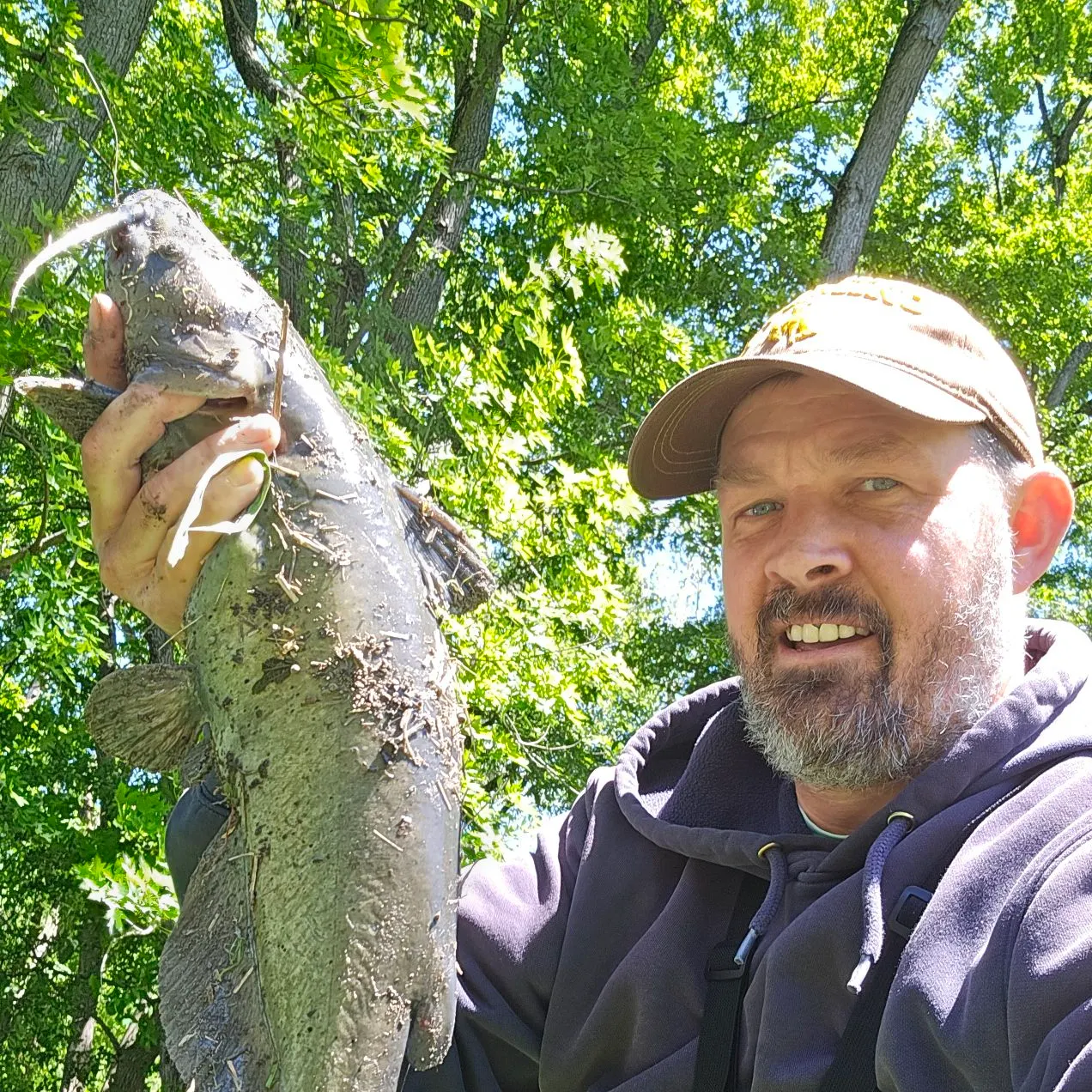
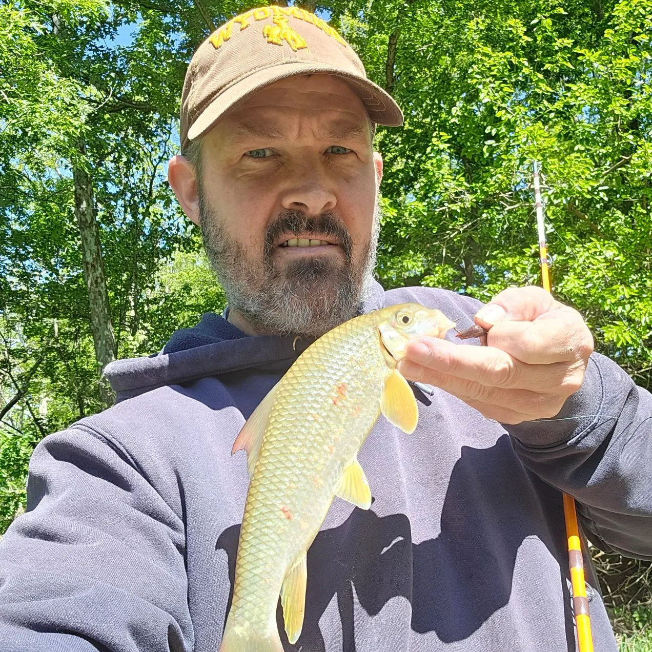
Logged catches
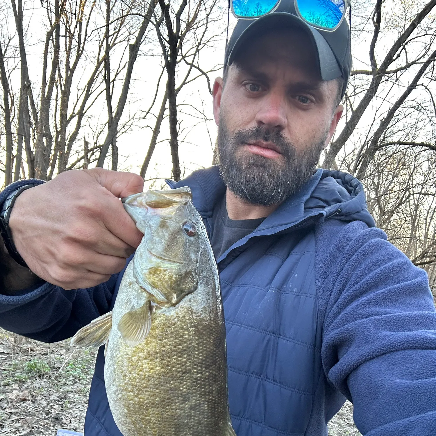
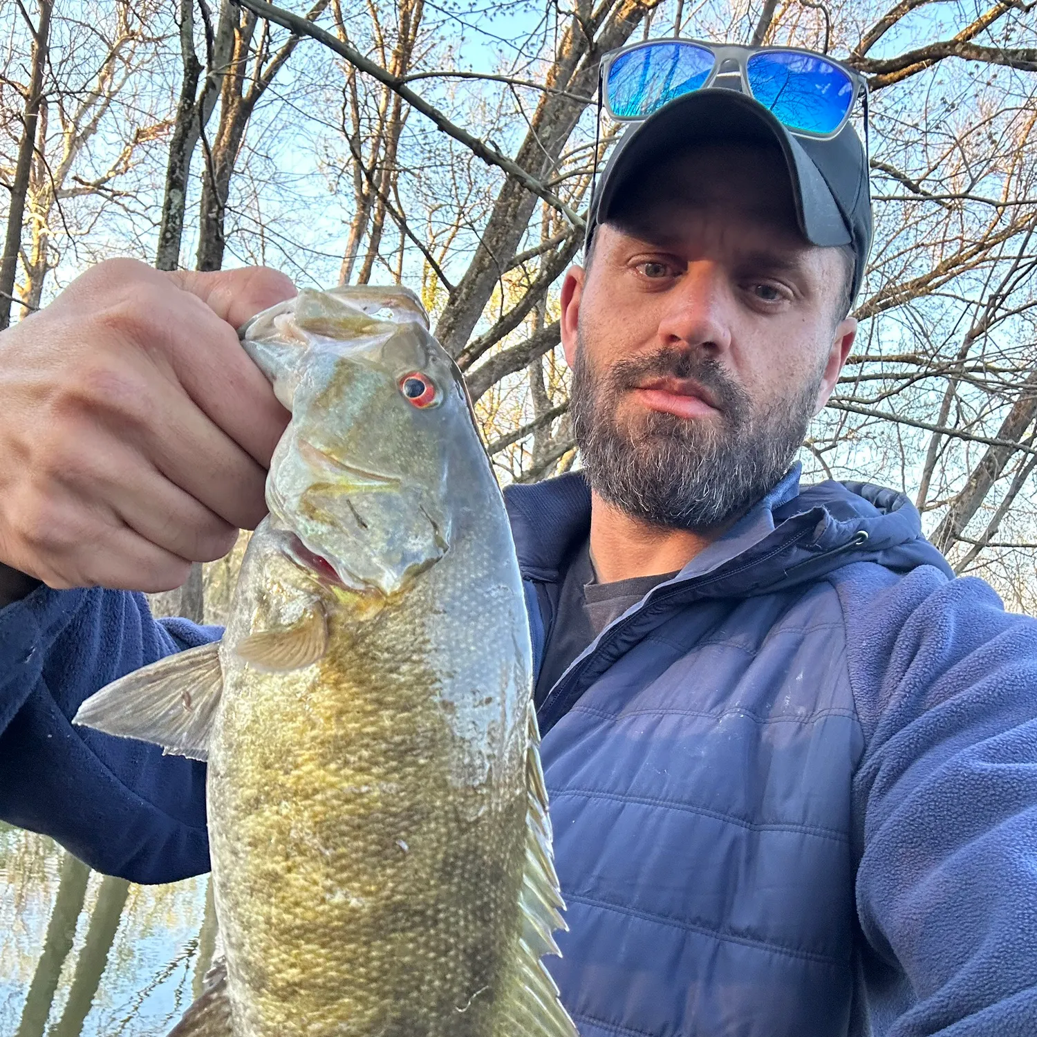
Top fish species at Salt Fork

Check which species have trophy potential in Salt Fork
Salt Fork fishing reports

Continue browsing catches and catch locations in the Fishbrain app
When are Largemouth Bass biting on Salt Fork?
Learn what time of year and day to go fishing at Salt Fork. Download Fishbrain today to look for new fishing spots, scout new fishing access, or prep for your next trip.

Fishing regulations at Salt Fork, IL
Disclaimer: Always check local fishing regulations, water access rights and land ownership before fishing, regardless of any catches logged in that area by the Fishbrain community. Fishbrain has mapped millions of acres of government-owned land across the USA to help you identify potential fishing access, but you are responsible for ensuring compliance with all legal requirements.
Fishing regulations in Illinois can change throughout the year. Make sure to check this page before fishing for the most up to date rules and regulations for the current season. Local regulations govern when you can fish, the max size of the fish you can keep, how many fish you can keep, and more.
Regulations for top species

Smallmouth bass
Bag limit6
The maximum number of individual fish legally harvested per harvester per day. Bag limits are only for properly licensed anglers actively harvesting the species. People who are not actively harvesting or are not properly licensed (if a license is required) may NOT be counted for the purpose of bag limits.
Aggregate limit6
The maximum number of individual fish across an aggregate group of species legally harvested per harvester per day.
Additional information
Synonyms

Largemouth bass
Bag limit6
The maximum number of individual fish legally harvested per harvester per day. Bag limits are only for properly licensed anglers actively harvesting the species. People who are not actively harvesting or are not properly licensed (if a license is required) may NOT be counted for the purpose of bag limits.
Aggregate limit6
The maximum number of individual fish across an aggregate group of species legally harvested per harvester per day.
Additional information
Edibility
Synonyms
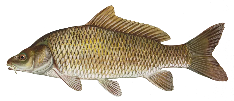
Common carp
Special gear
IL Snagging
SNAGGINGa) Sport fishermen are permitted only one pole and line device to which can be attached no more than two hooks. On the Mississippi River between Illinois and Iowa, the maximum treble hook size is 5/0; gaffs may not be used to land Paddlefish. b) Species of Fish and Snagging Harvest Limit. Only the following species of fish and harvest limit may be taken by snagging: Bighead Carp (no live possession) – no harvest limit Black Carp (no live possession) – no harvest limitBowfin – no harvest limitBuffalo – no harvest limitCarpsuckers – no harvest limitCommon Carp – no harvest limitFreshwater Drum – no harvest limitGizzard Shad – no harvest limitGrass Carp (no live possession) – no harvest limitLongnose Gar – no harvest limitPaddlefish – two per day; the maximum length limit for Paddlefish taken from the Mississippi River between Illinois and Iowa is 33-inch eye-fork length (EFL) (all Paddlefish greater than or equal to 33-inch EFL must be imme- diately released back to the Mississippi River); the minimum length limit for Paddlefish taken from the Mississippi River between Illinois and Missouri is 24-inch EFL(all Paddlefish less than or equal to 24-inch EFL must be immedi- ately released back to the Mississippi River). Salmon (Coho and Chinook only) – five fish, in the aggregate, daily harvest limit Shortnose Gar – no harvest limit Silver Carp (no live possession) – no harvest limit Suckers – no harvest limit c) No sorting (i.e., catching more fish than is allowed and putting back some in order to keep larger ones) of snagged Salmon and Paddlefish is permitted, except for Paddlefish taken from the Mississippi River between Illinois and Missouri where sorting is permitted. Every Paddlefish snagged must be included in the daily harvest limit. Every Salmon 10 inches in total length or longer snagged must be taken into immediate possession and included in the daily harvest limit. Once the daily limit of Salmon or Paddlefish has been reached, snagging must cease. d) Waters Open to Snagging and Snagging Season: Snagging for fish is permitted from September 15 through December 15 and from March 15 through May 15 within a 300 yard downstream limit below all locks and dams of the Illinois River, except for the area below the Peoria Lock and Dam where snagging is permitted year round. Snagging for fish is permitted from September 15 through December 15 and from March 15 through May 15 within a 300 yard downstream limit below all locks and dams of the Mississippi River between Illinois and Missouri, except for the Chain of Rocks low water dam at Chouteau Island – Madison County, also known as Dam 27 at the Chain of Rocks – Madison County where no snagging is permitted. Snagging is permitted from 1/2 hour before sunrise to 1/2 hour after sunset daily, March 1 through April 15 within a 500 yard downstream limit below locks and dams on the Mississippi River between Illinois and Iowa. Snagging for fish is permitted year-round within a 100 yard limit upstream or downstream of the dam at Horseshoe Lake in Alexander County. Snagging for Chinook and Coho Salmon only is permitted from the following Lake Michigan shoreline areas from October 1 through December 31; however, no snagging is allowed at any time within 200 feet of a moored watercraft or as posted: Lincoln Park Lagoon from the Fullerton Avenue Bridge to the southern end of the Lagoon.Waukegan Harbor (in North Harbor basin only). Winnetka Power Plant discharge area. Jackson Harbor (Inner and Outer Harbors). Disposition of Snagged Salmon and Paddlefish. All snagged Salmon and Paddlefish must be removed from the area from which they are taken and disposed of properly.
Additional information
Edibility
Synonyms


Free trial available