Map

Fishing in Sugarland Run, VA

Virginia, United States

App Section

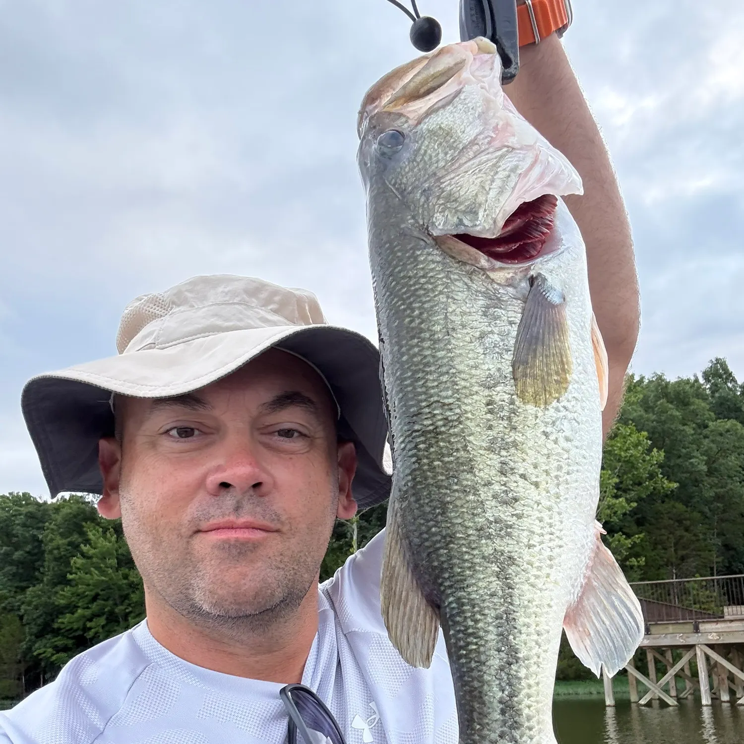
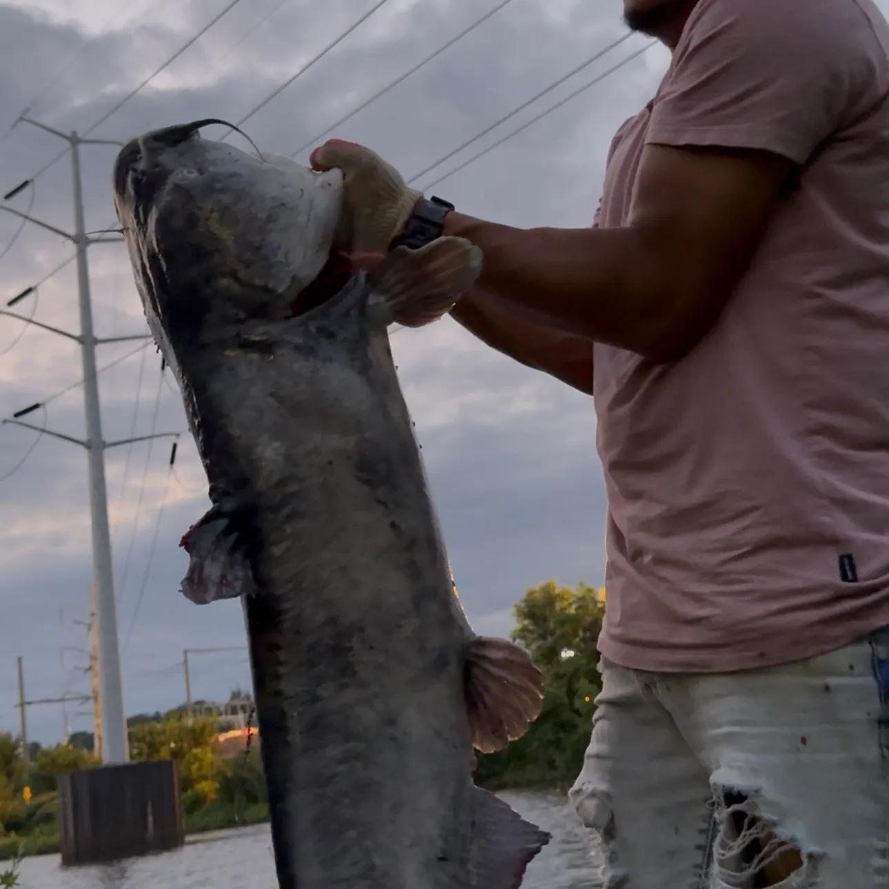
Want trophy-size catches? These Sugarland Run spots deliver

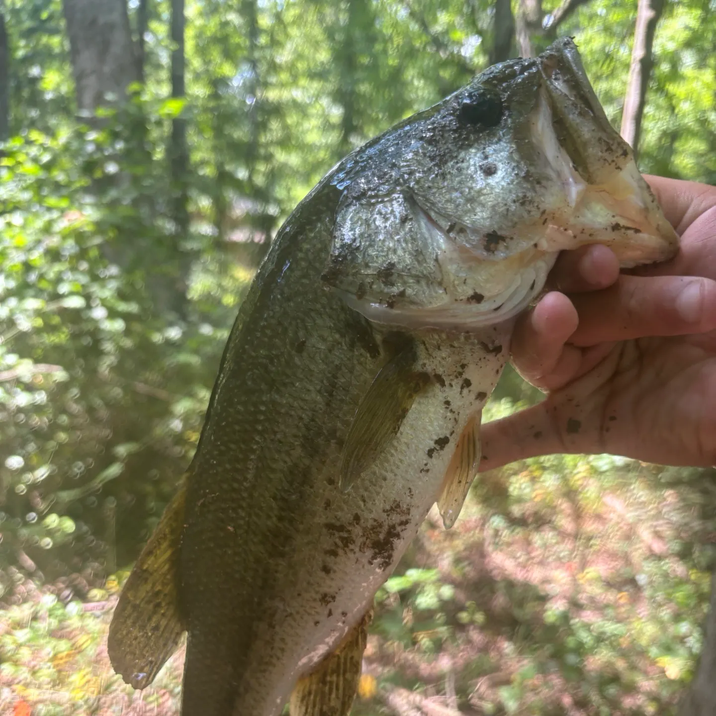
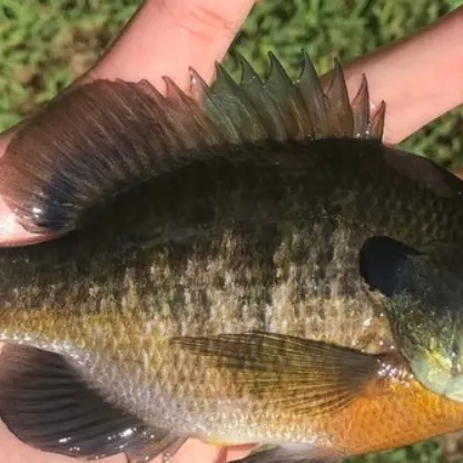
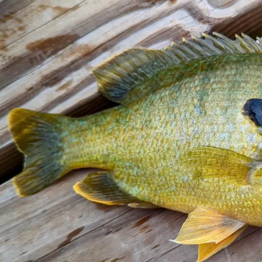
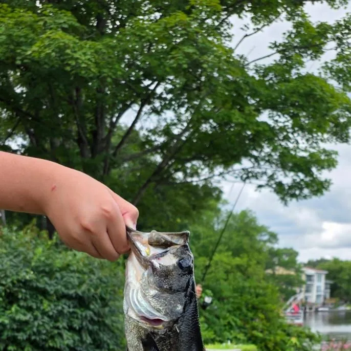
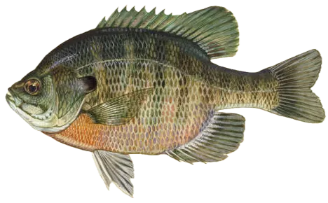
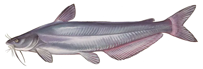
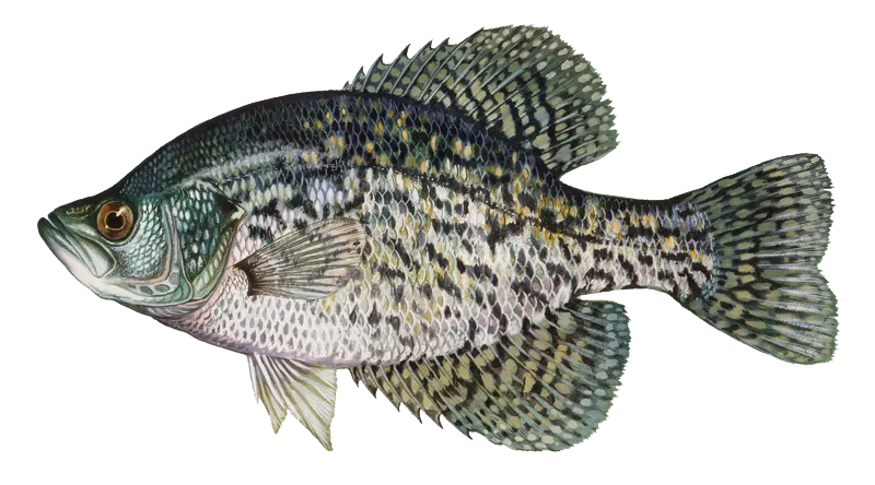
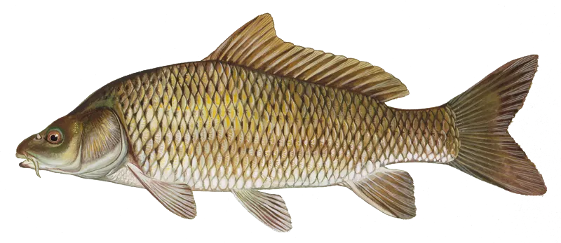
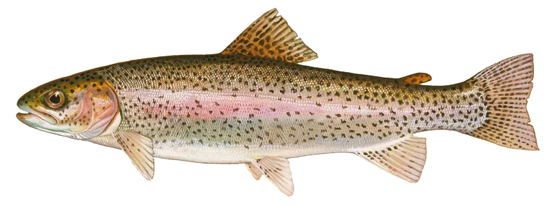
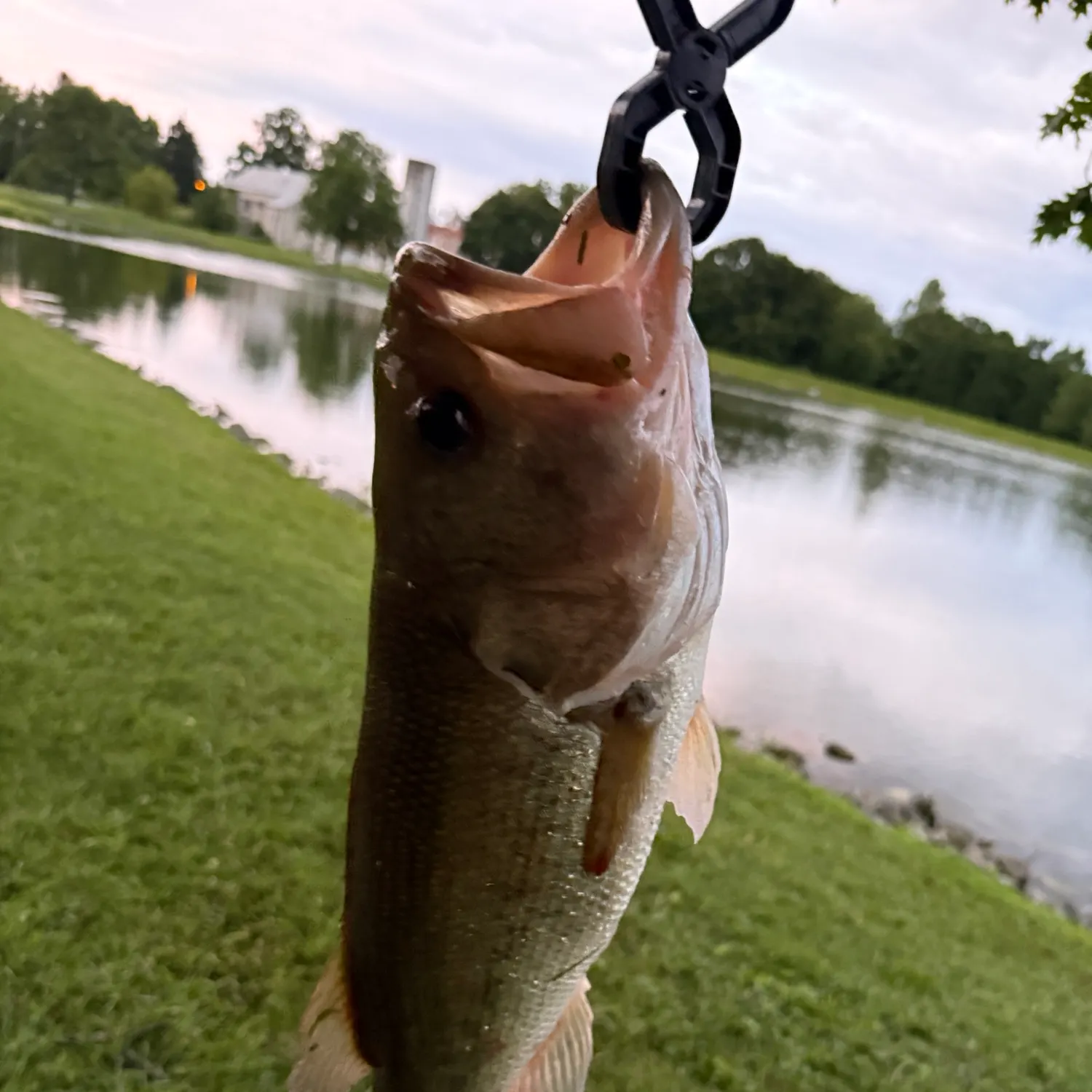
Top fish species in Sugarland Run

Largemouth bass
Largemouth bass
Bluegill
Bluegill
Blue catfish
Blue catfish
Channel catfish
Channel catfish
Smallmouth bass
Smallmouth bass

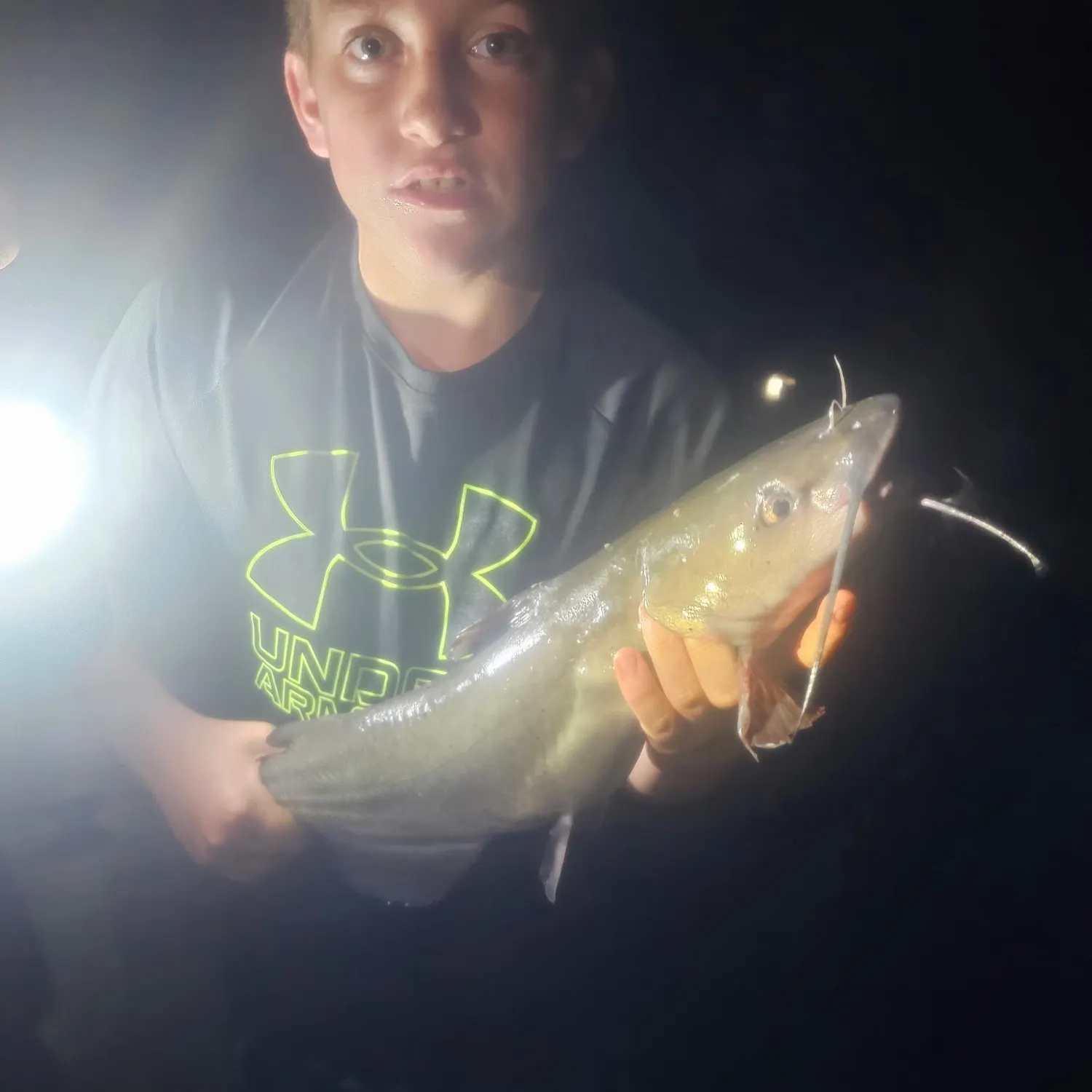
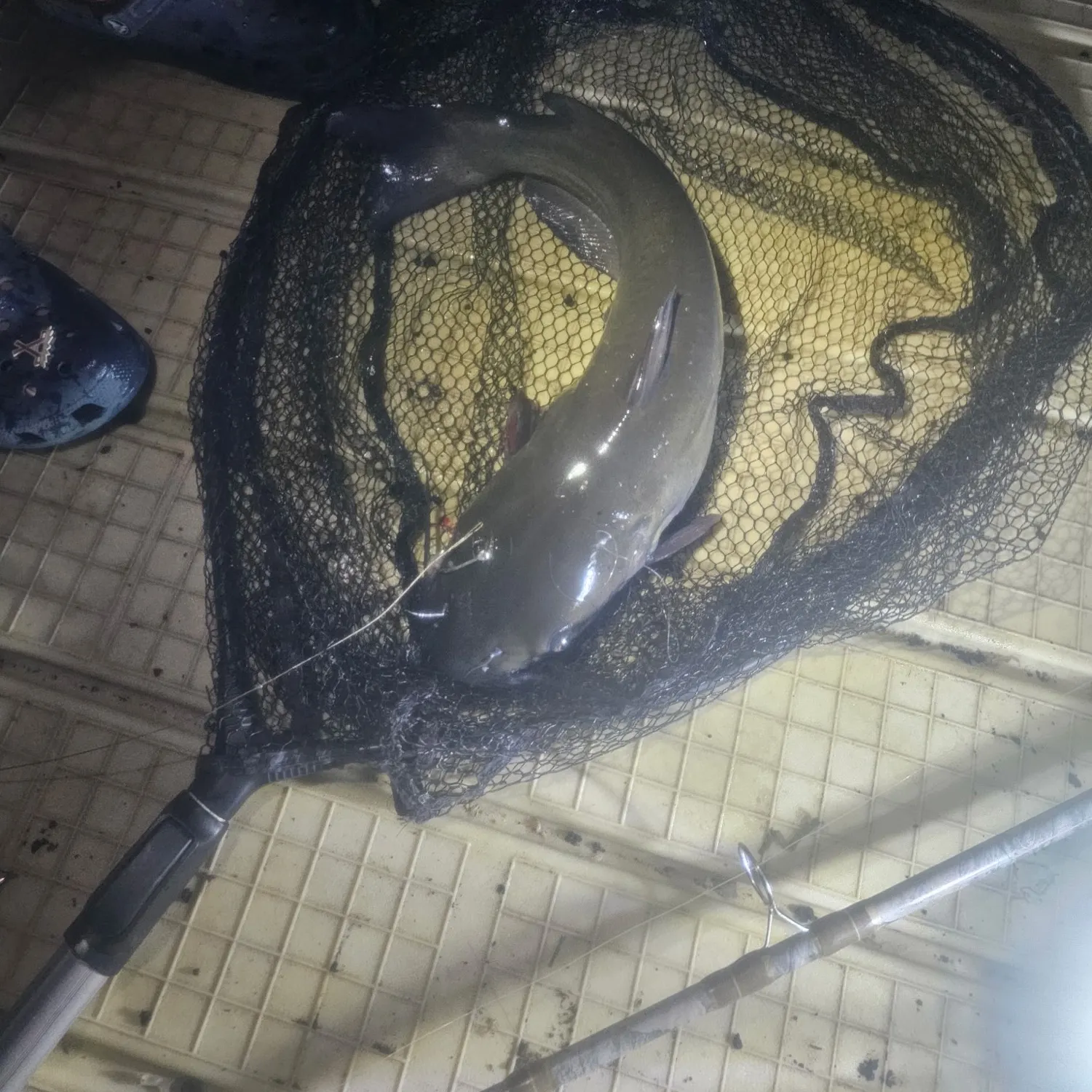
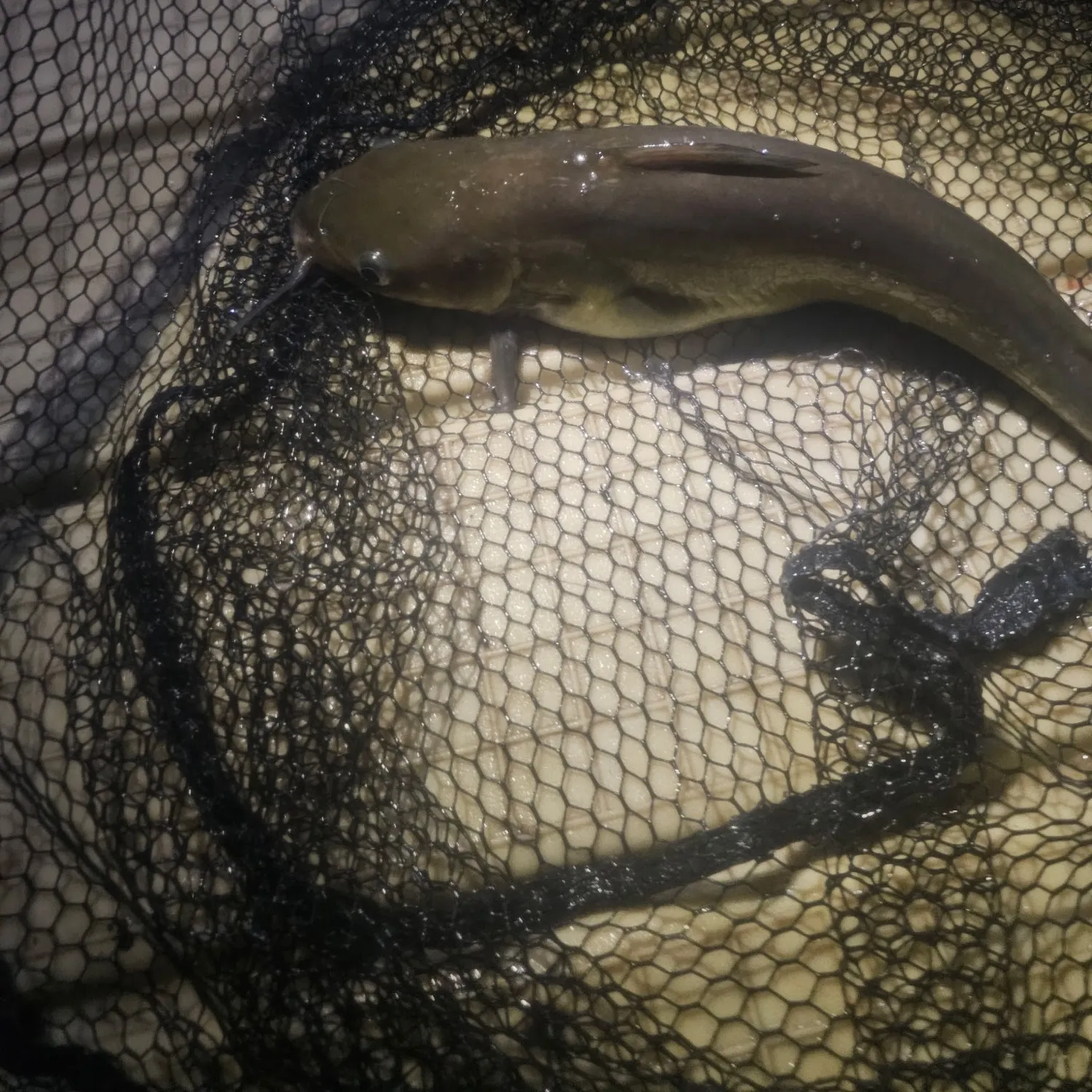
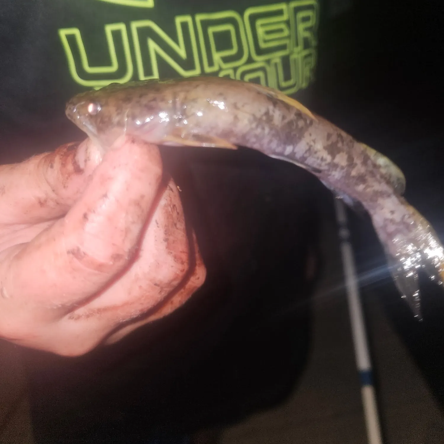
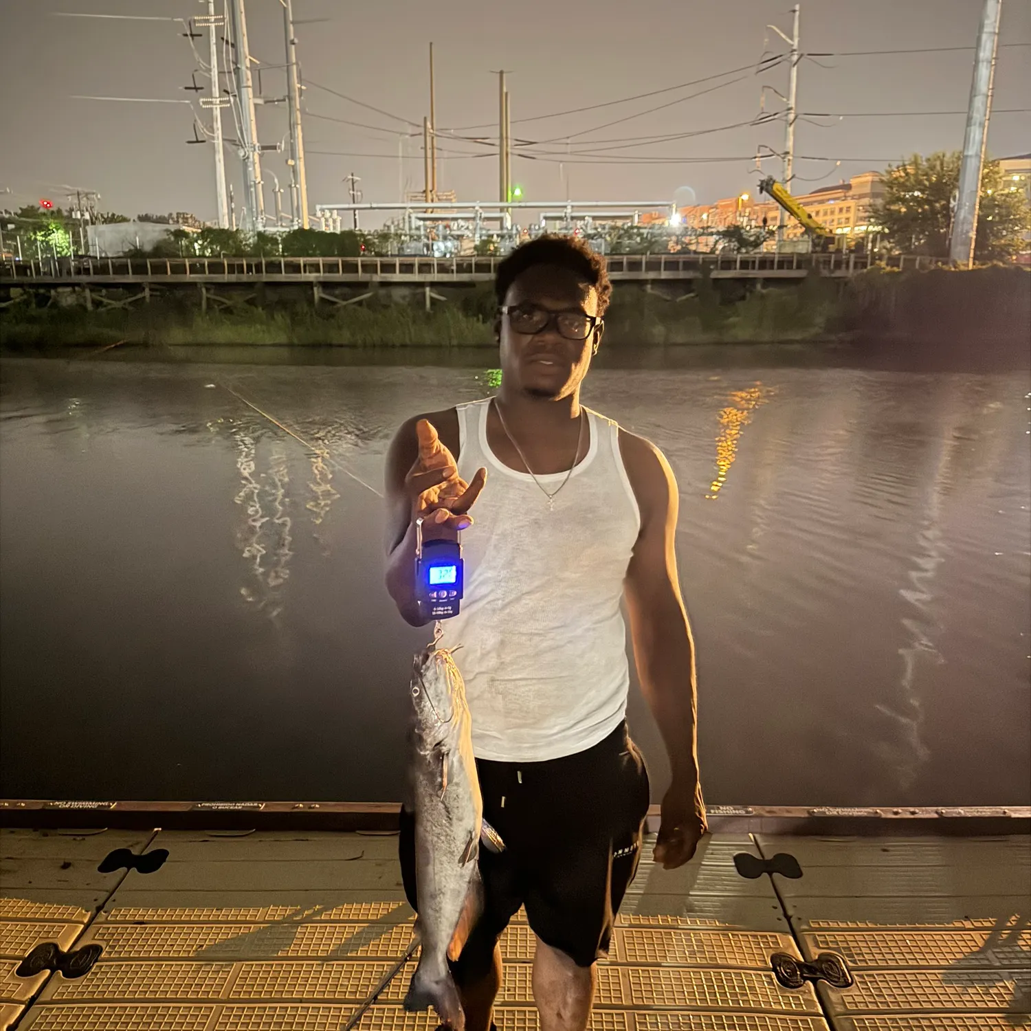
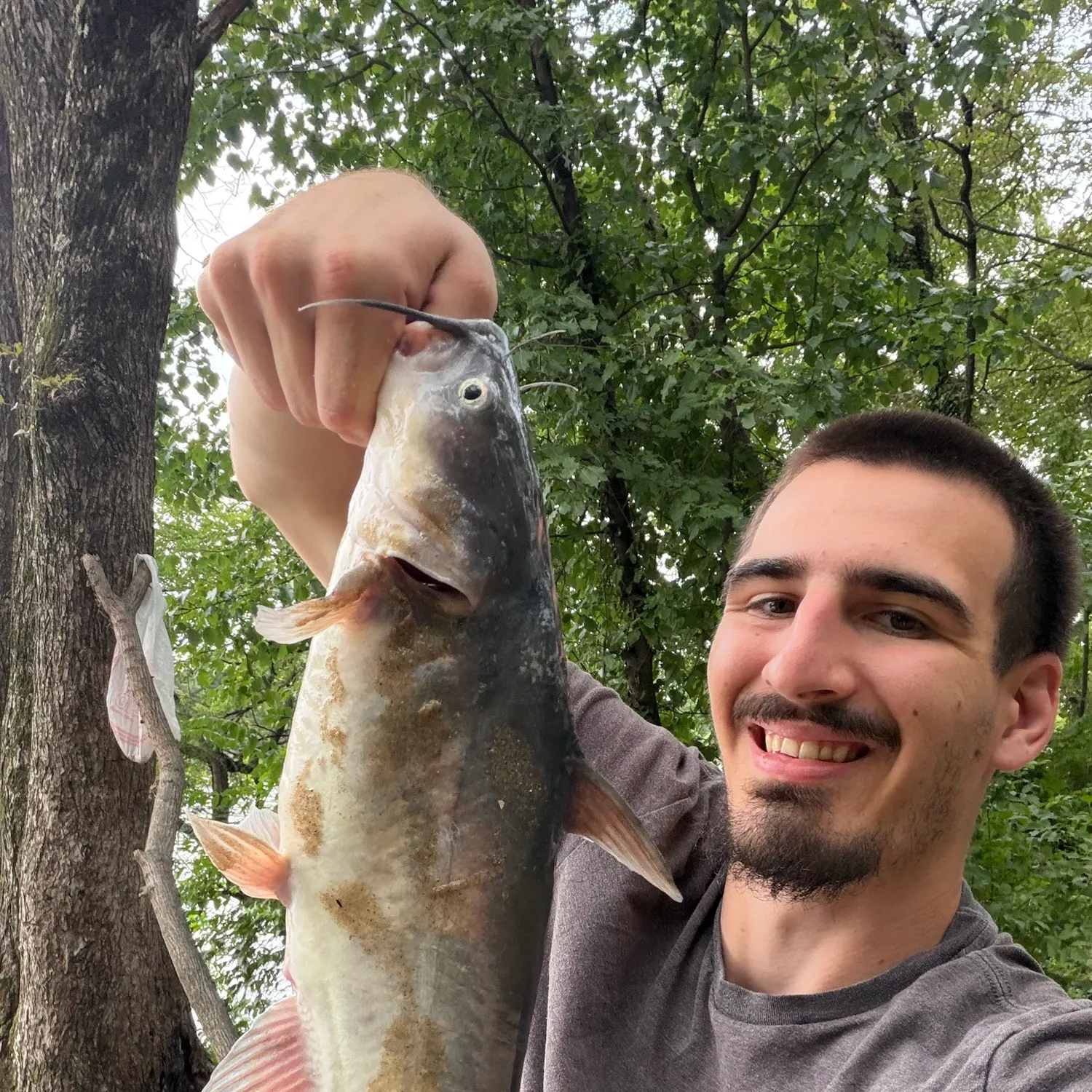
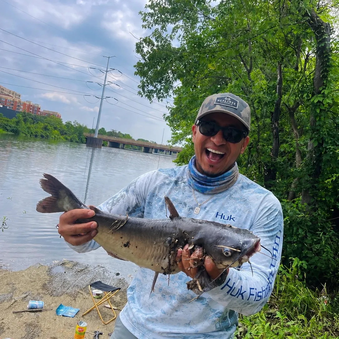
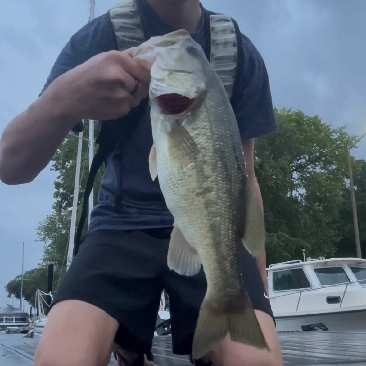
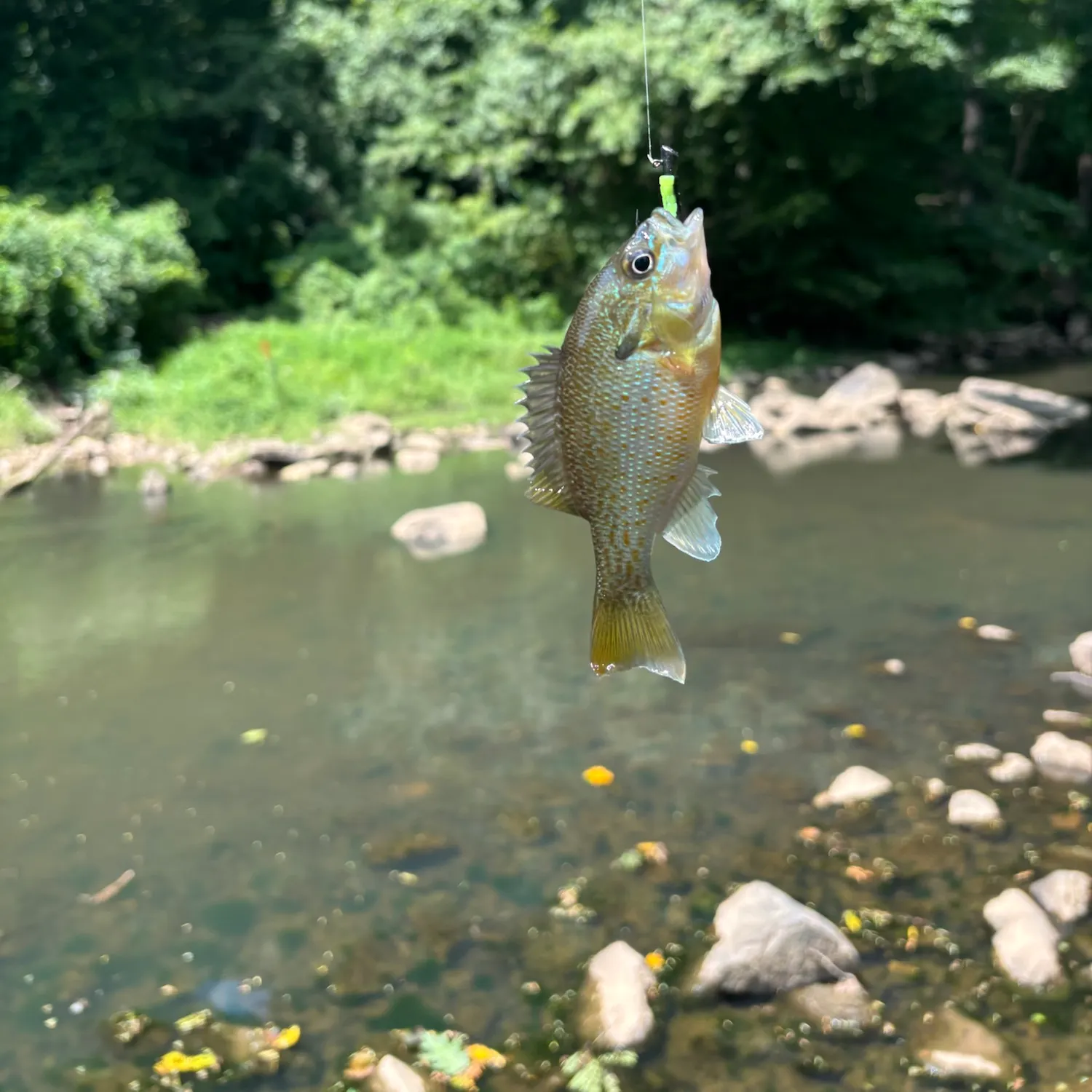
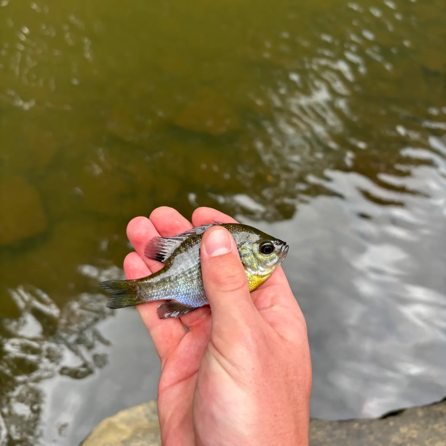
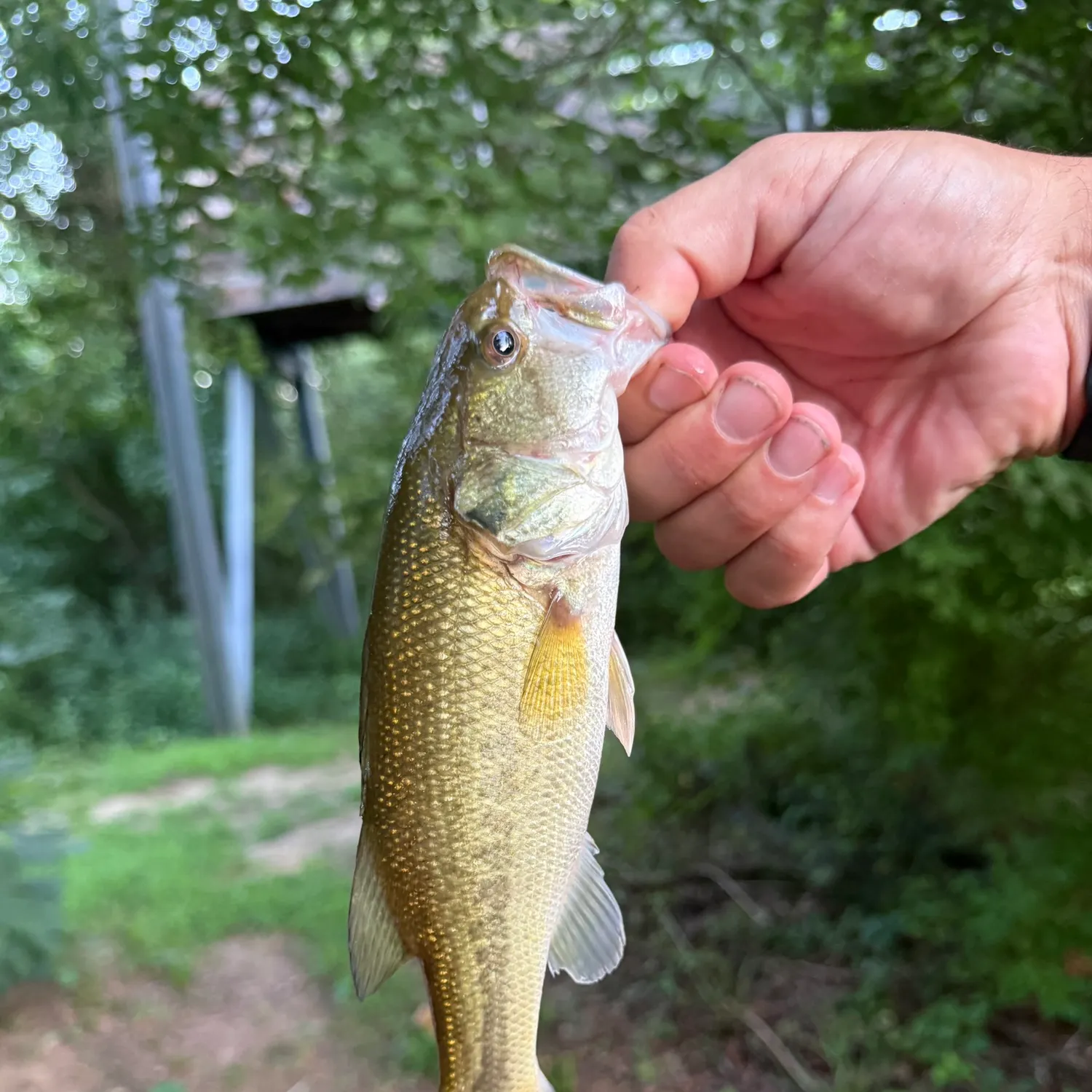
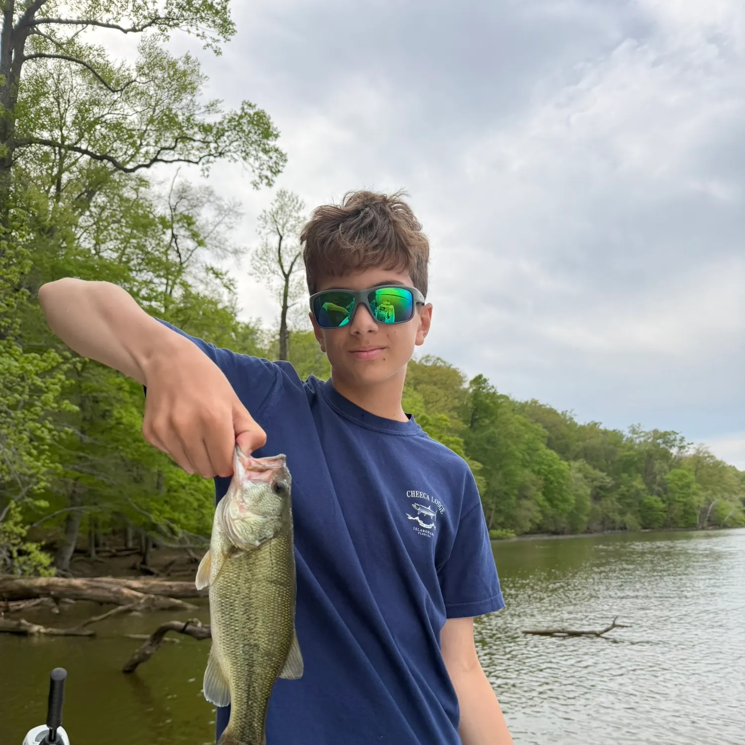
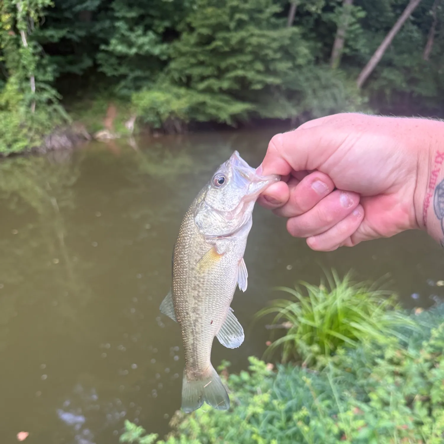
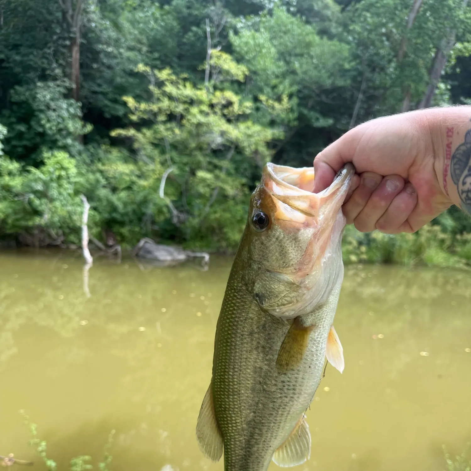
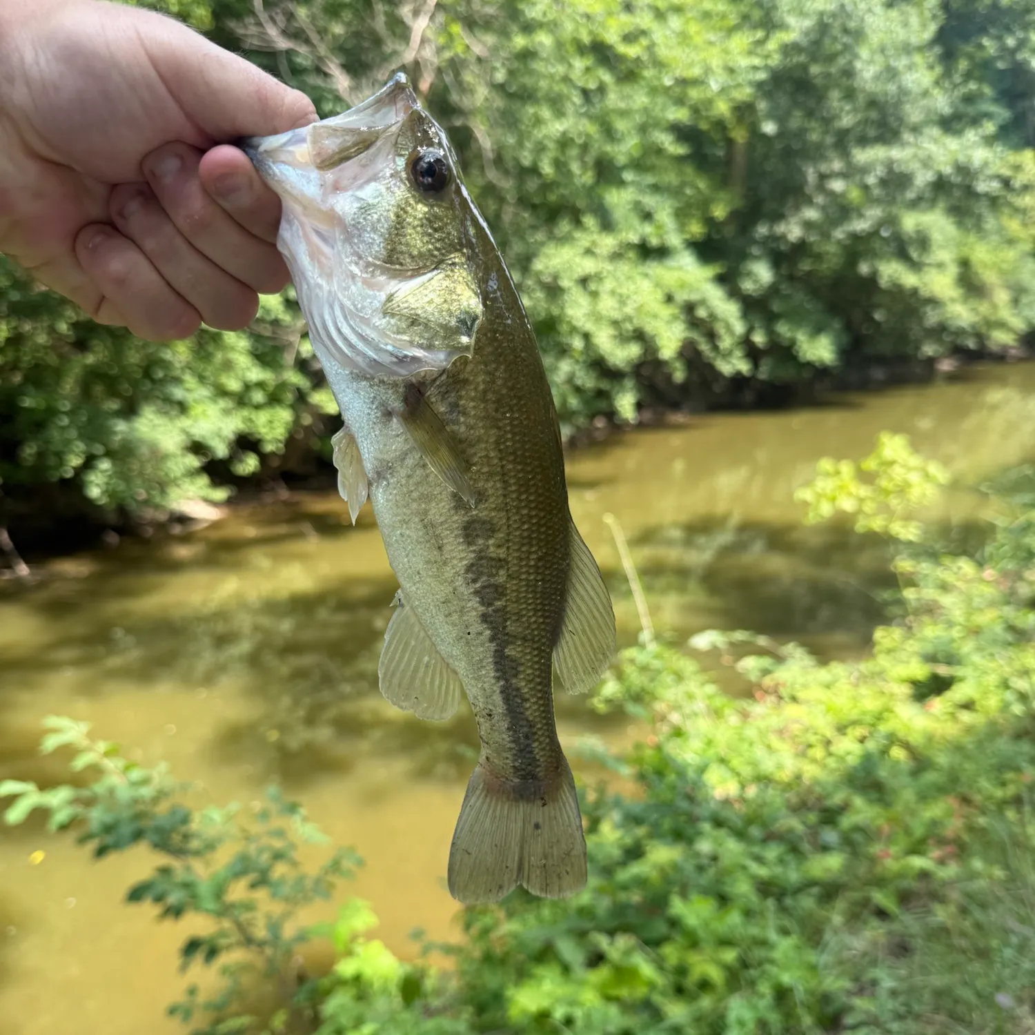
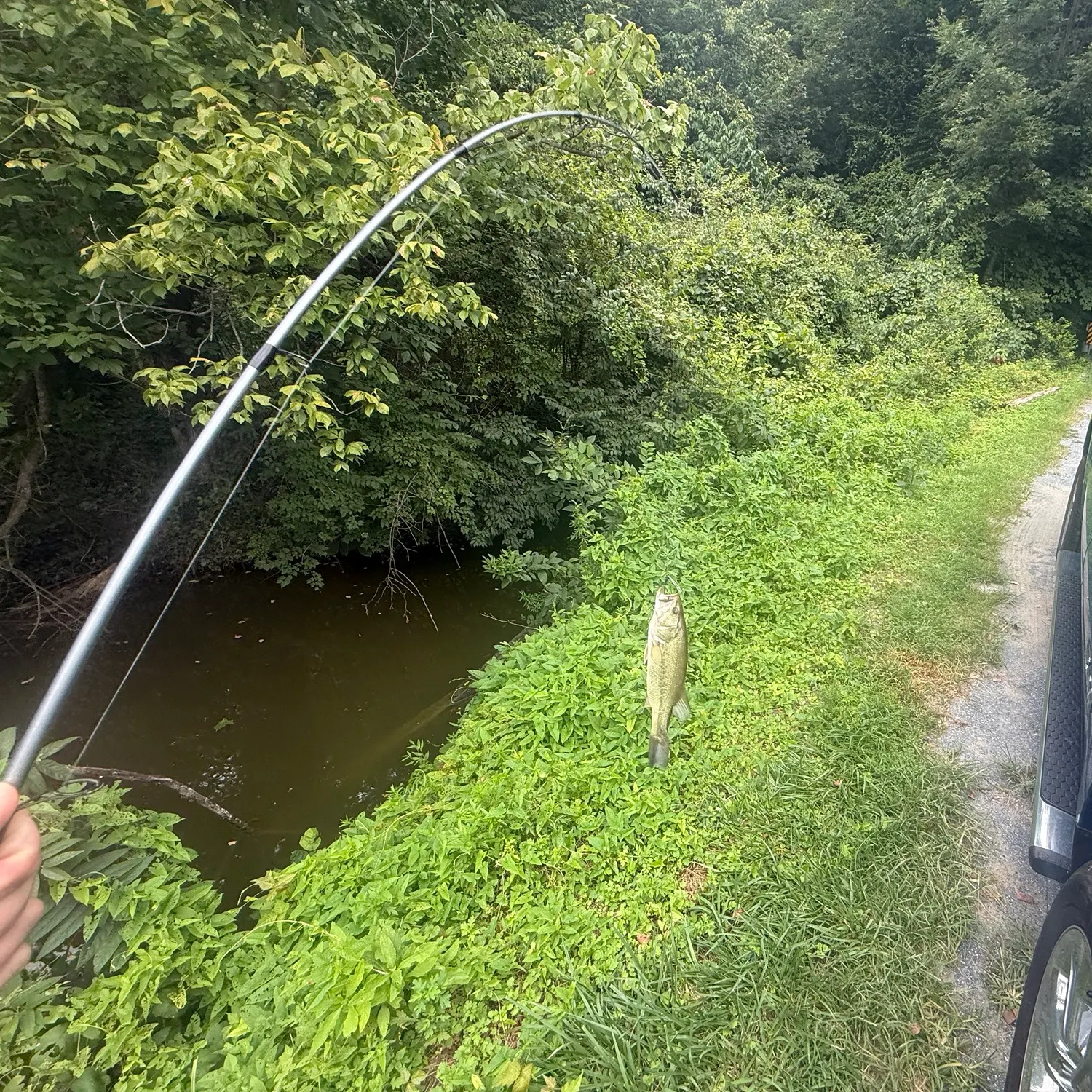
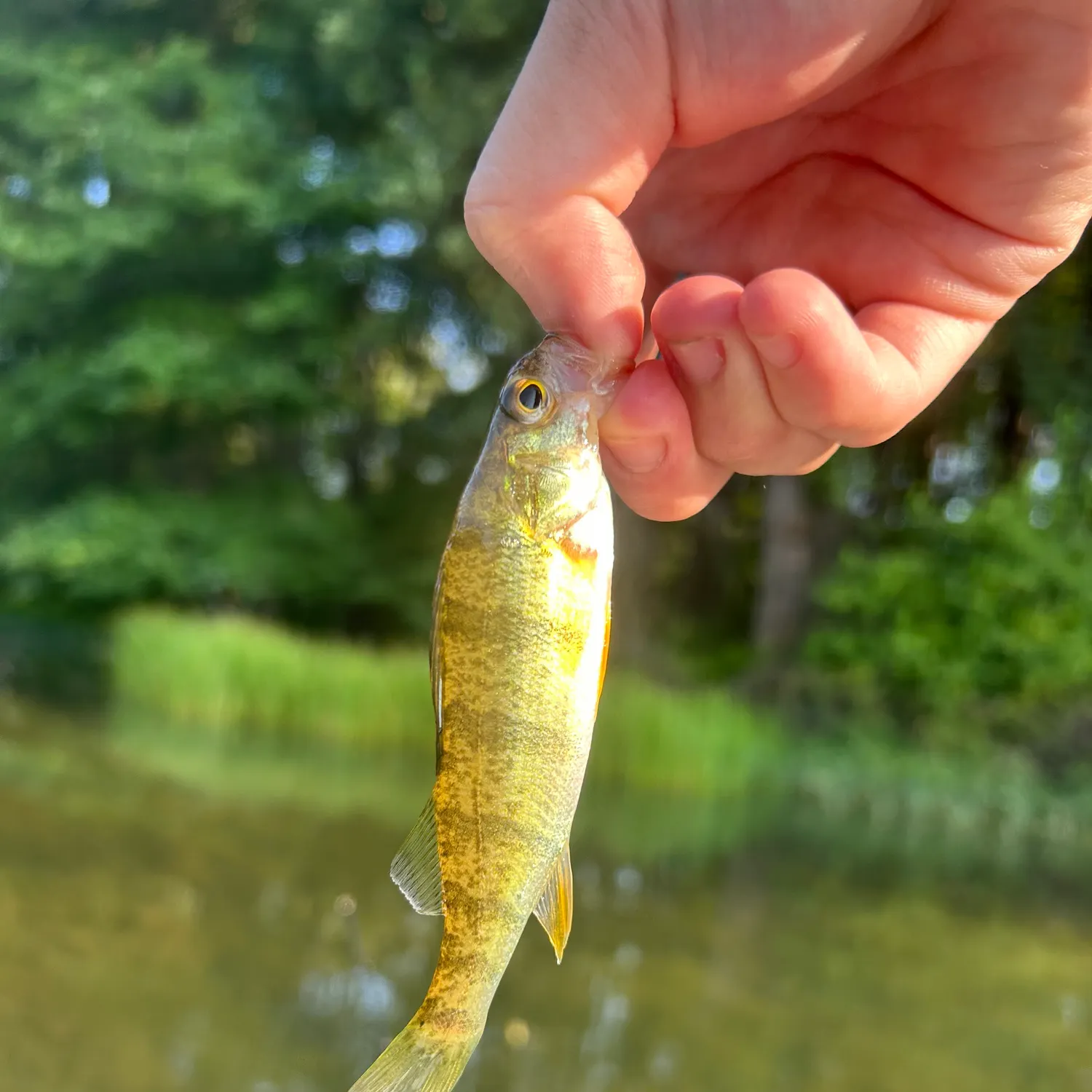
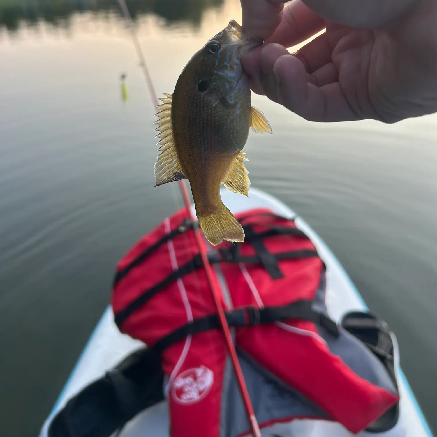
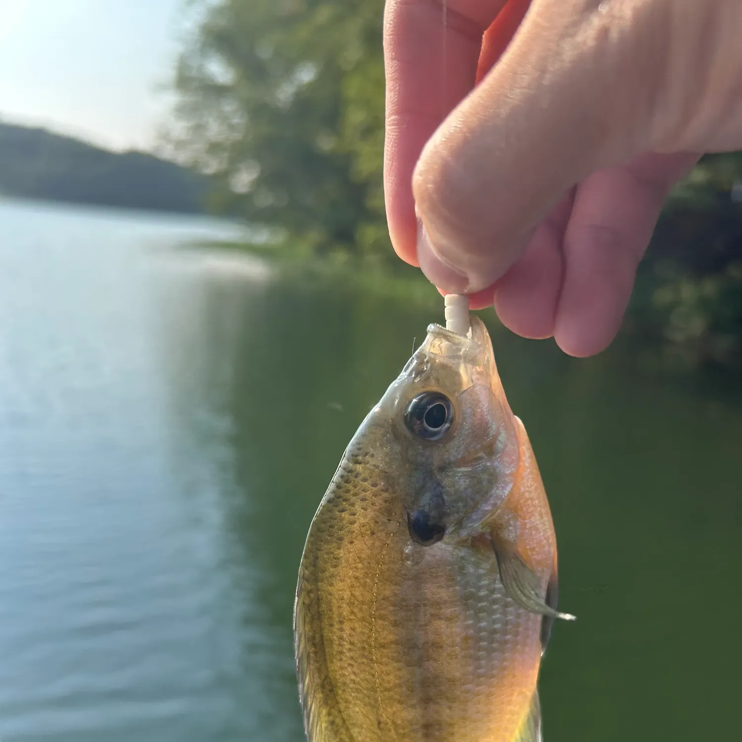
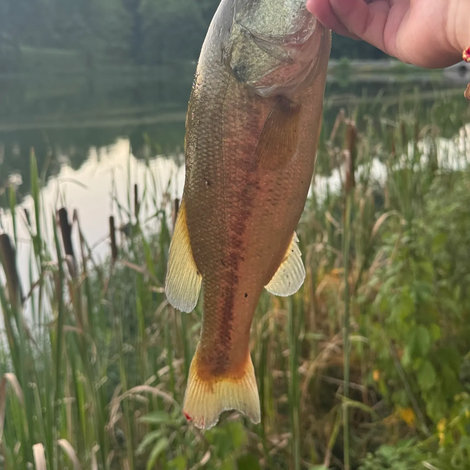
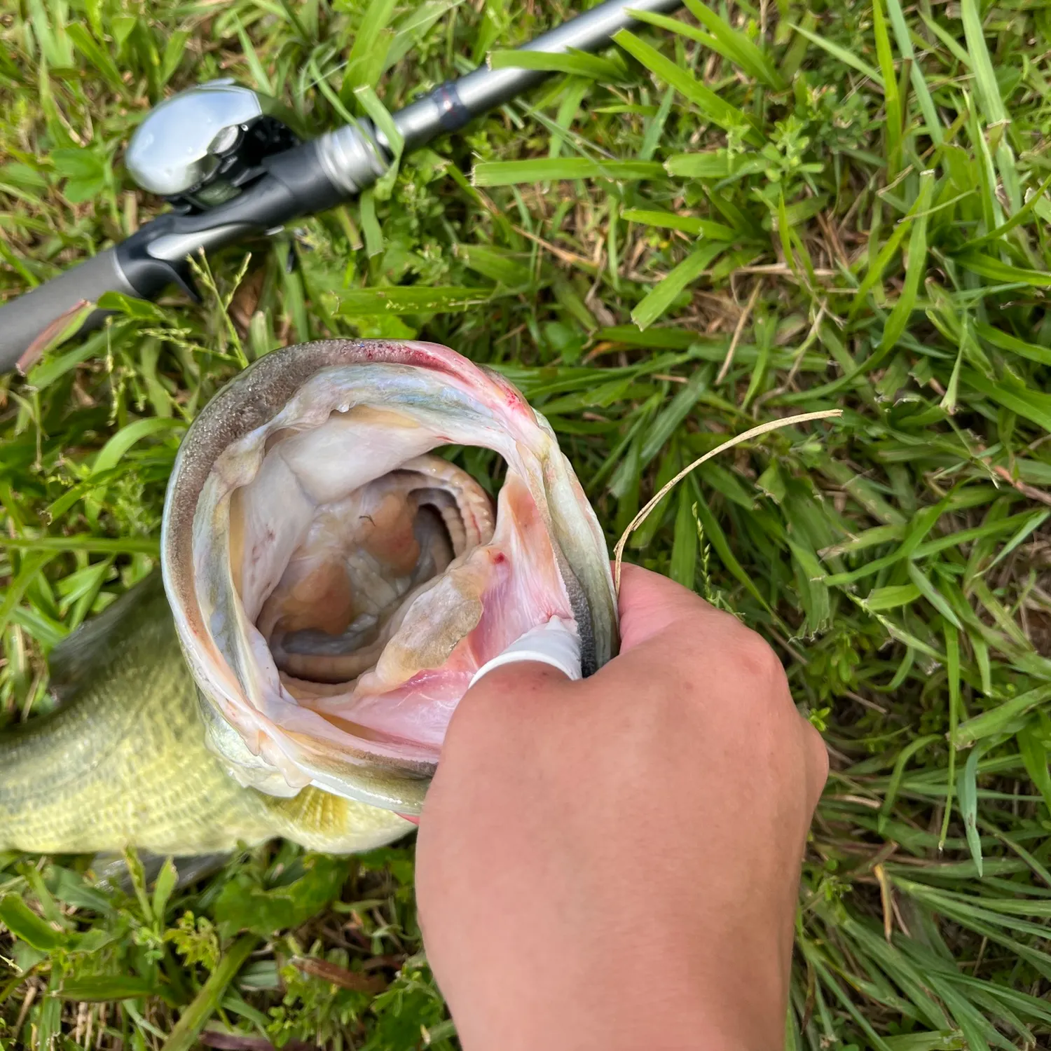
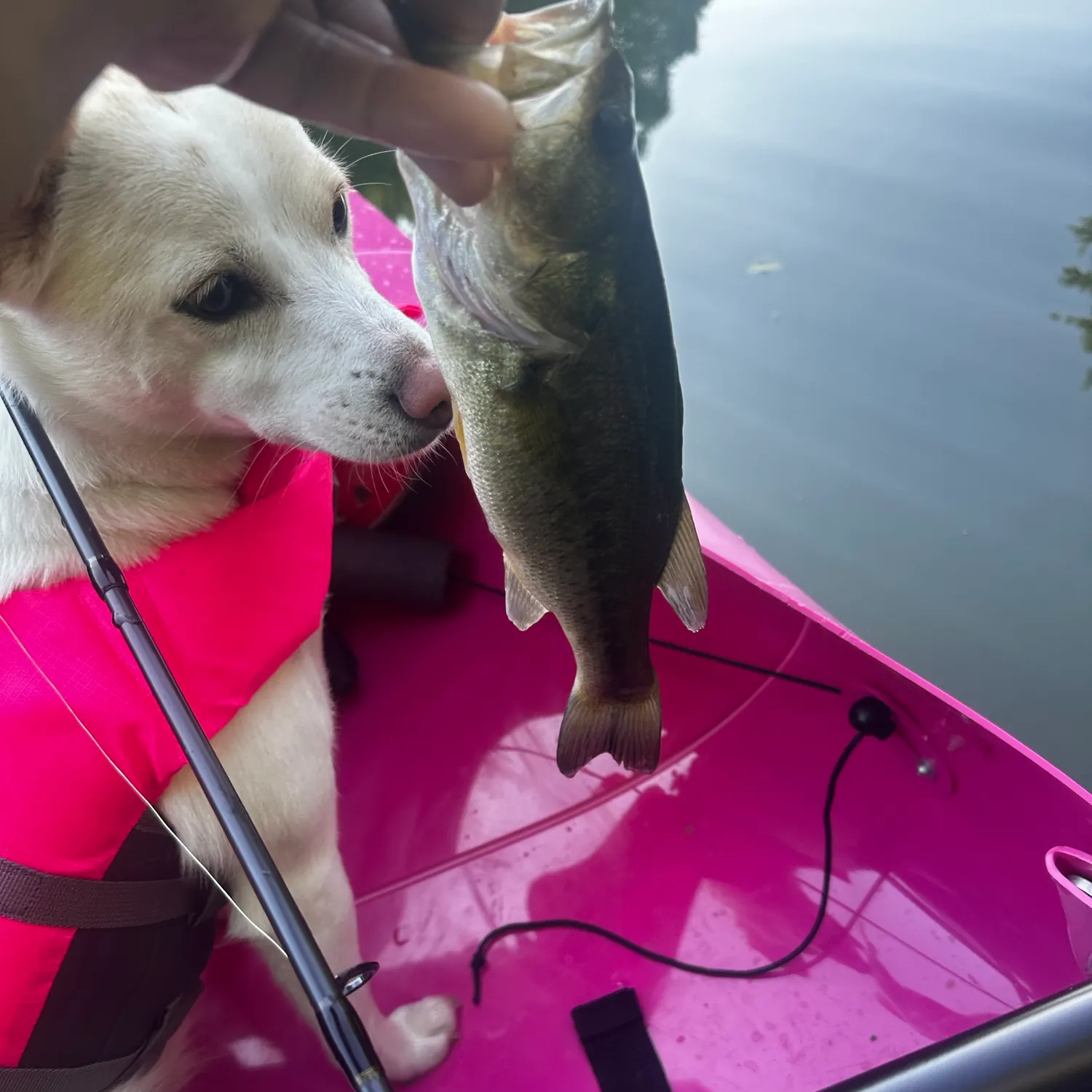
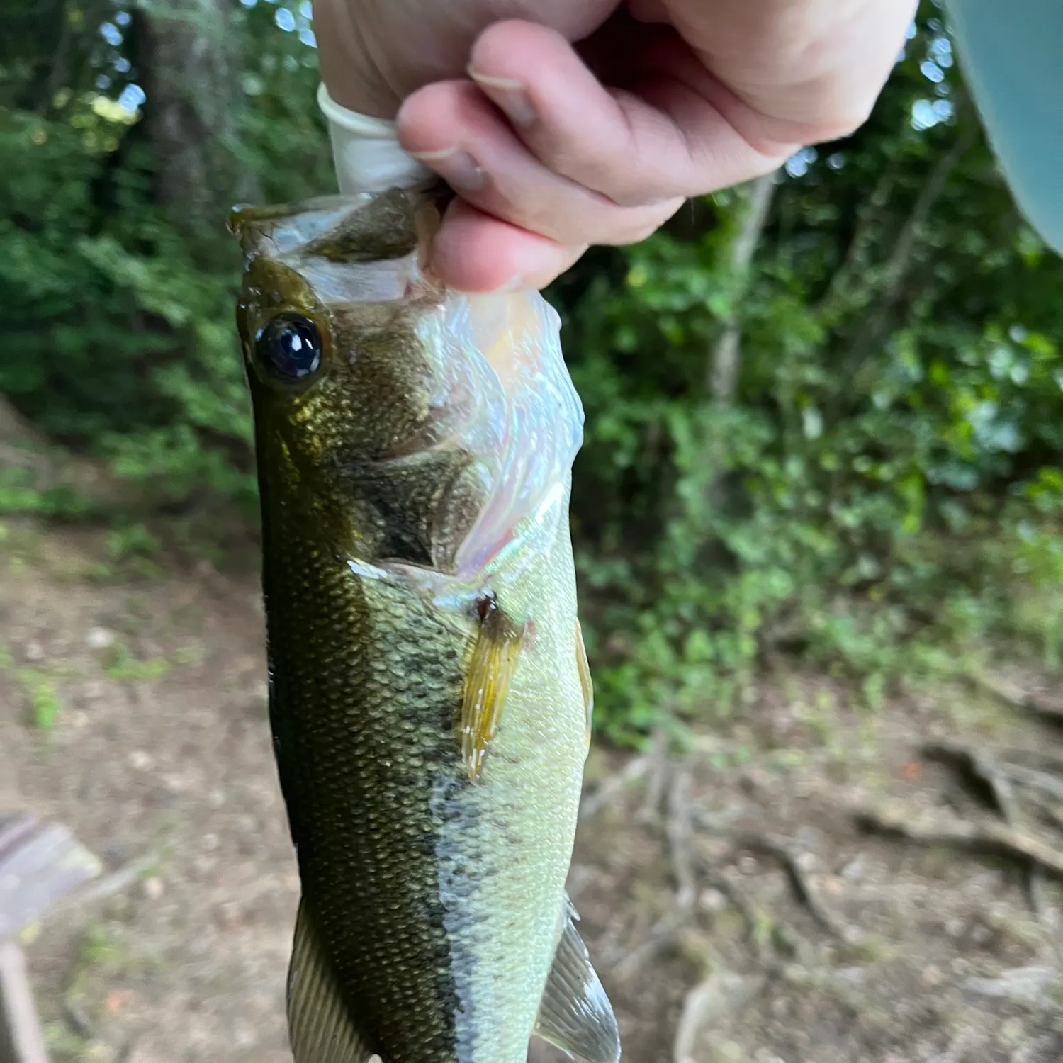
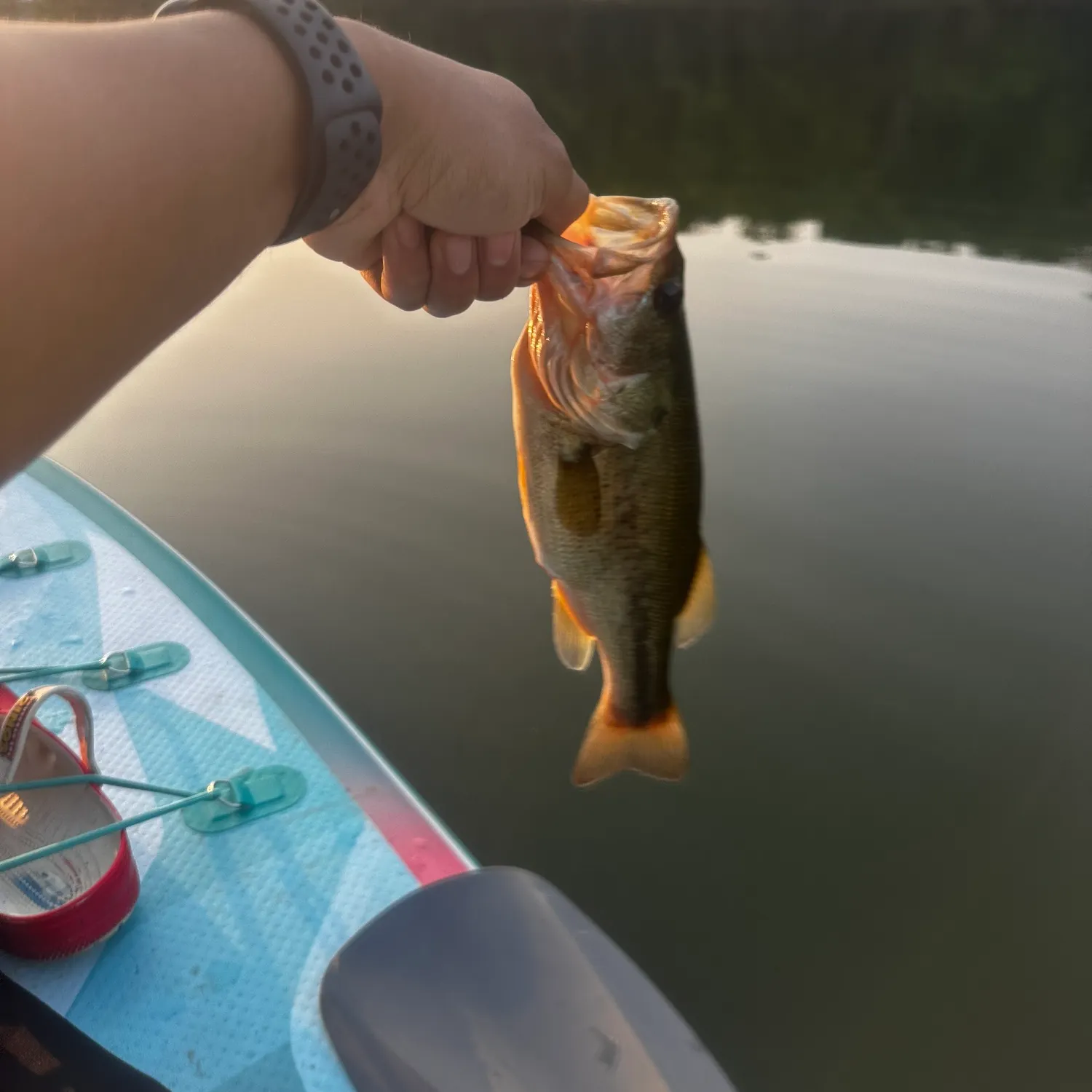
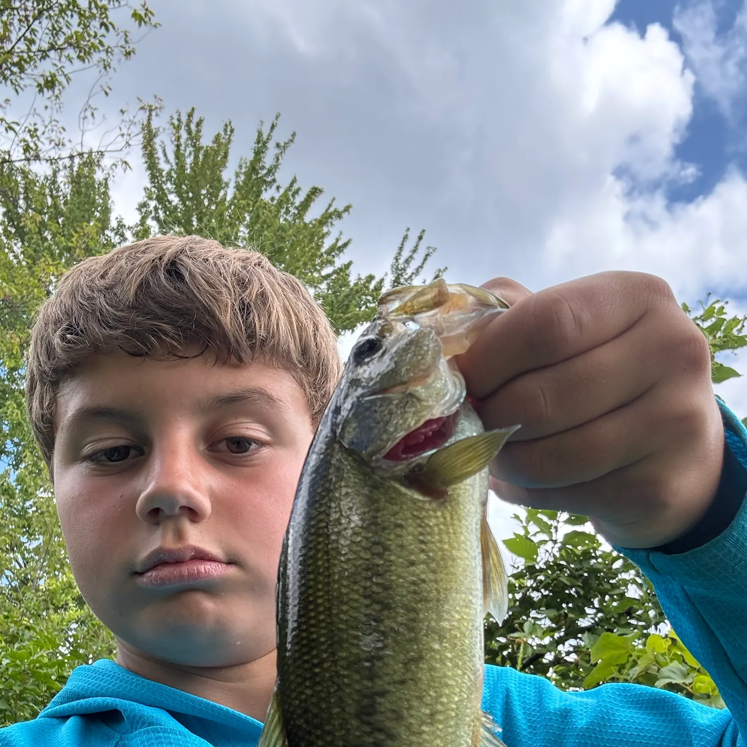
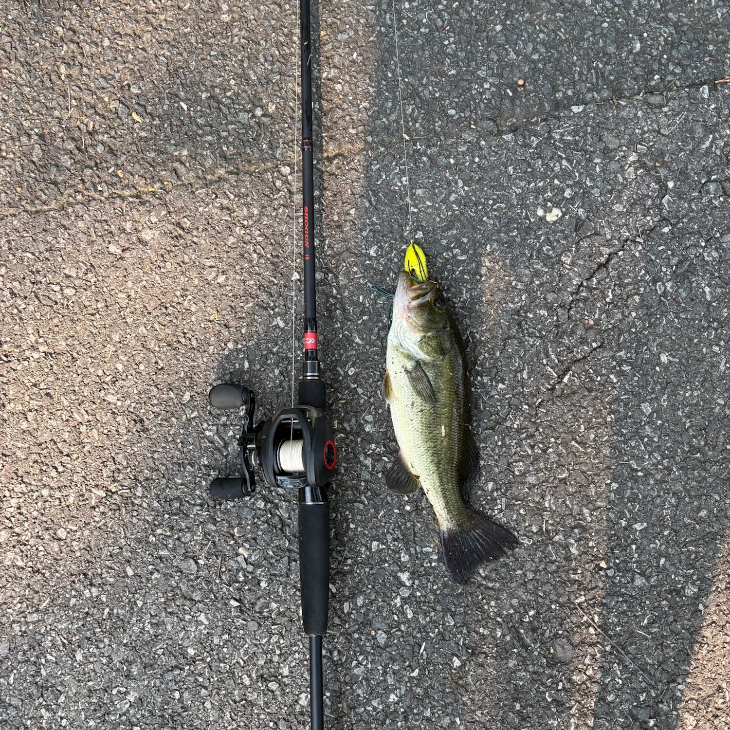
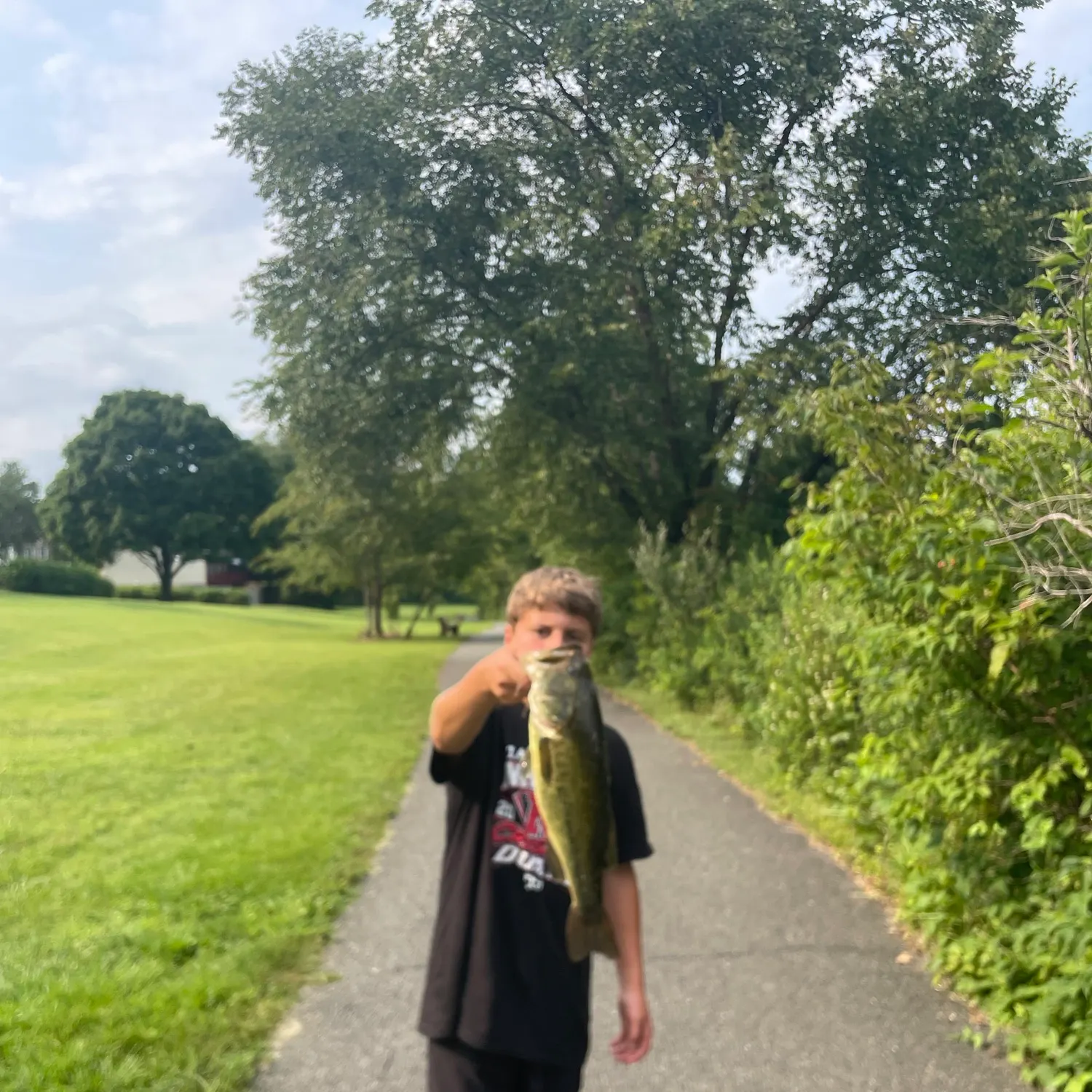
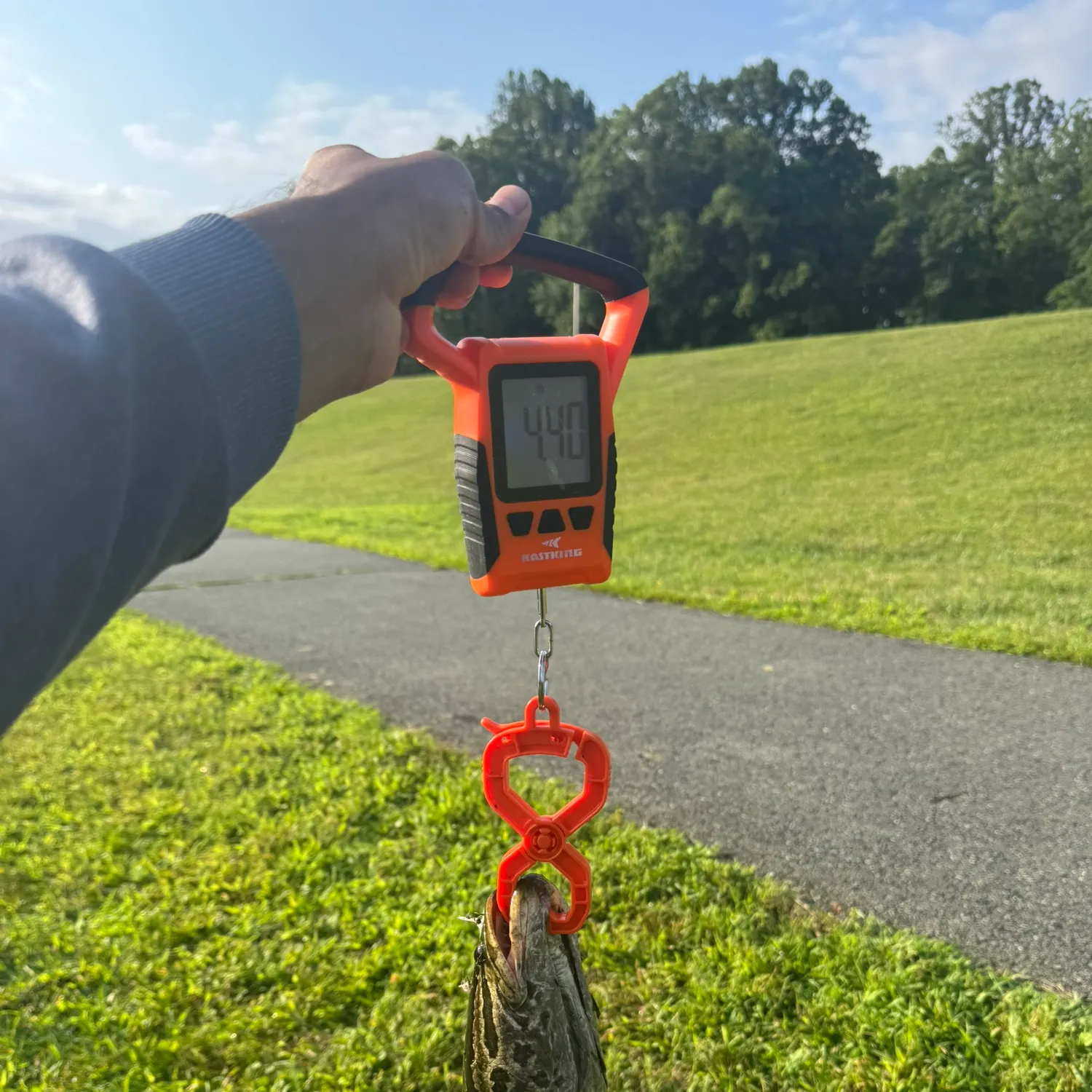
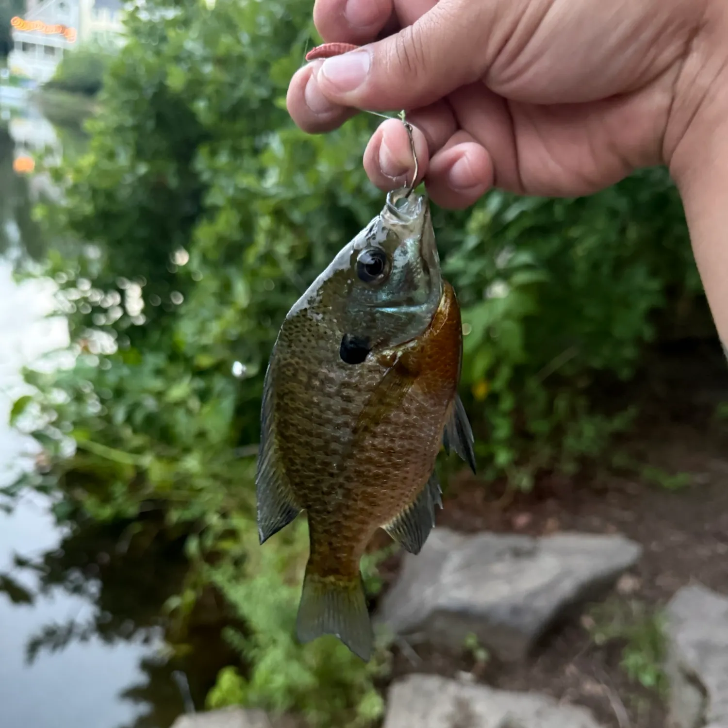
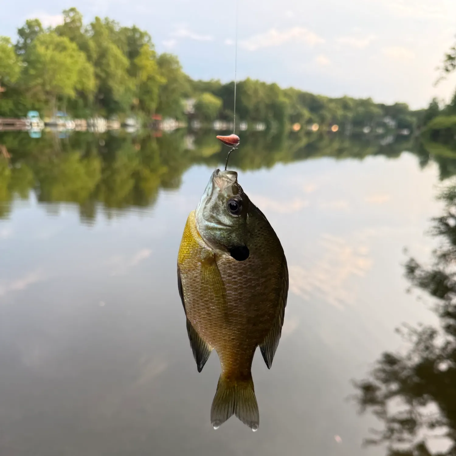
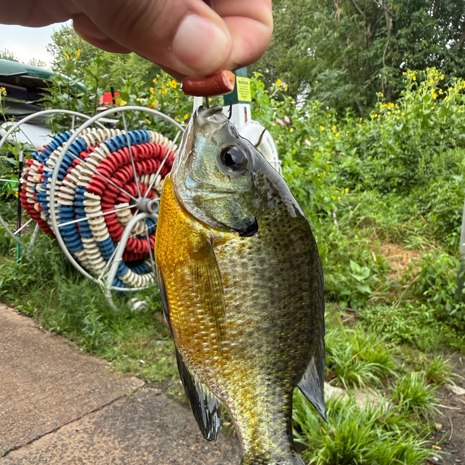
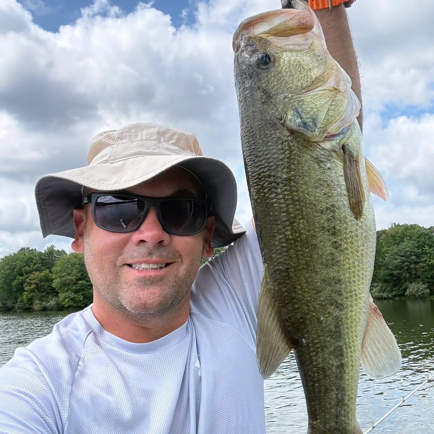
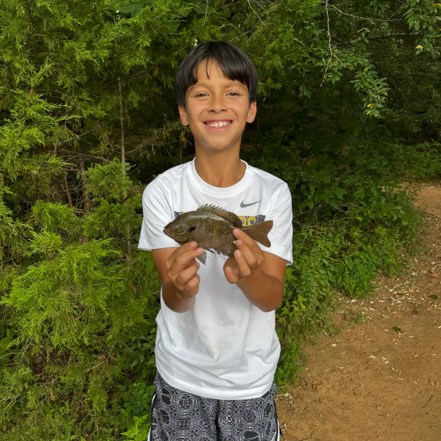
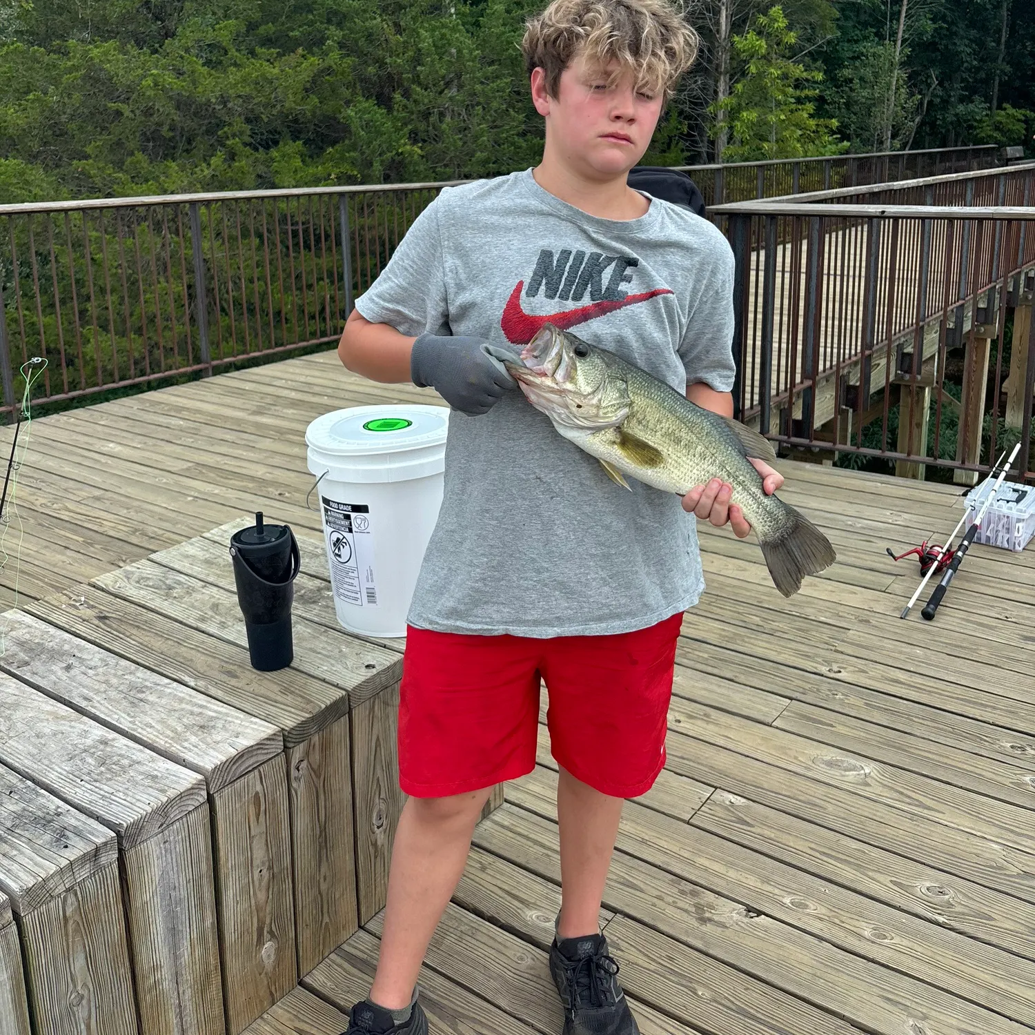
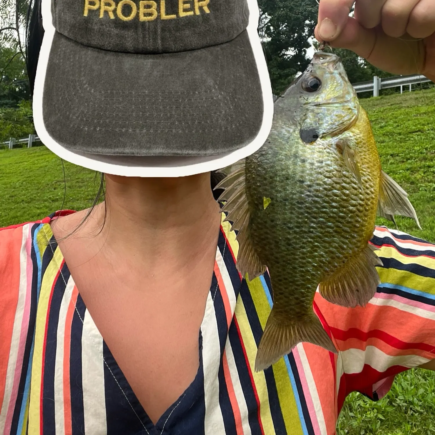
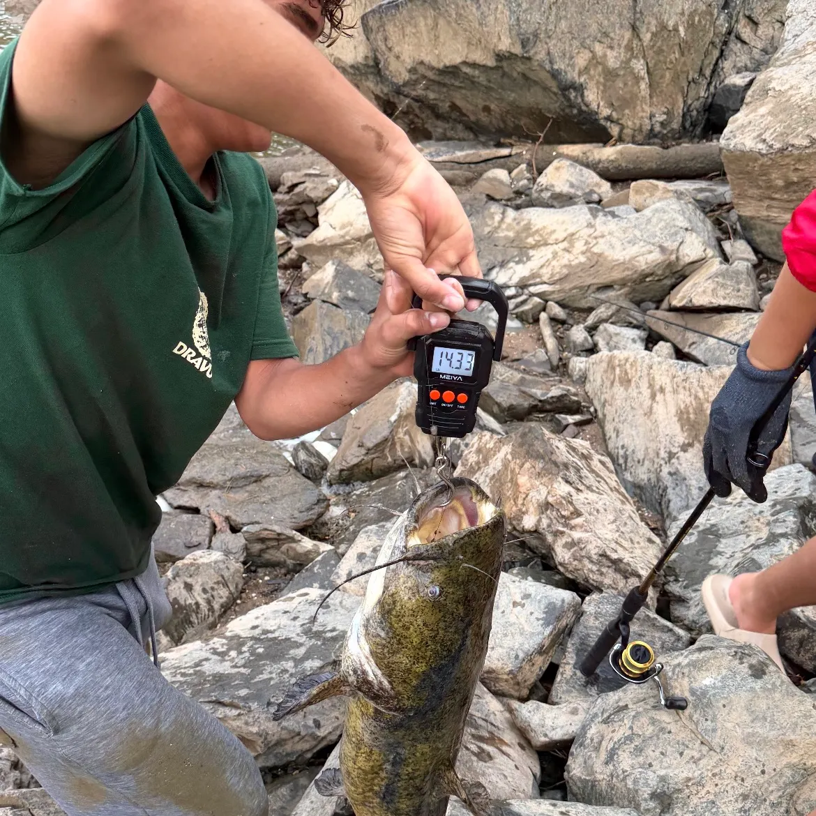
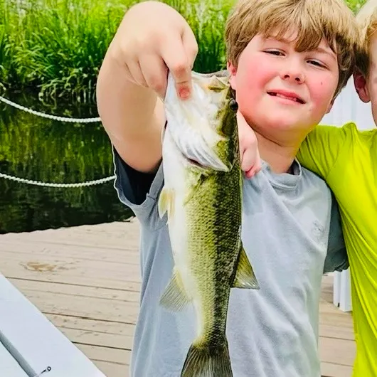
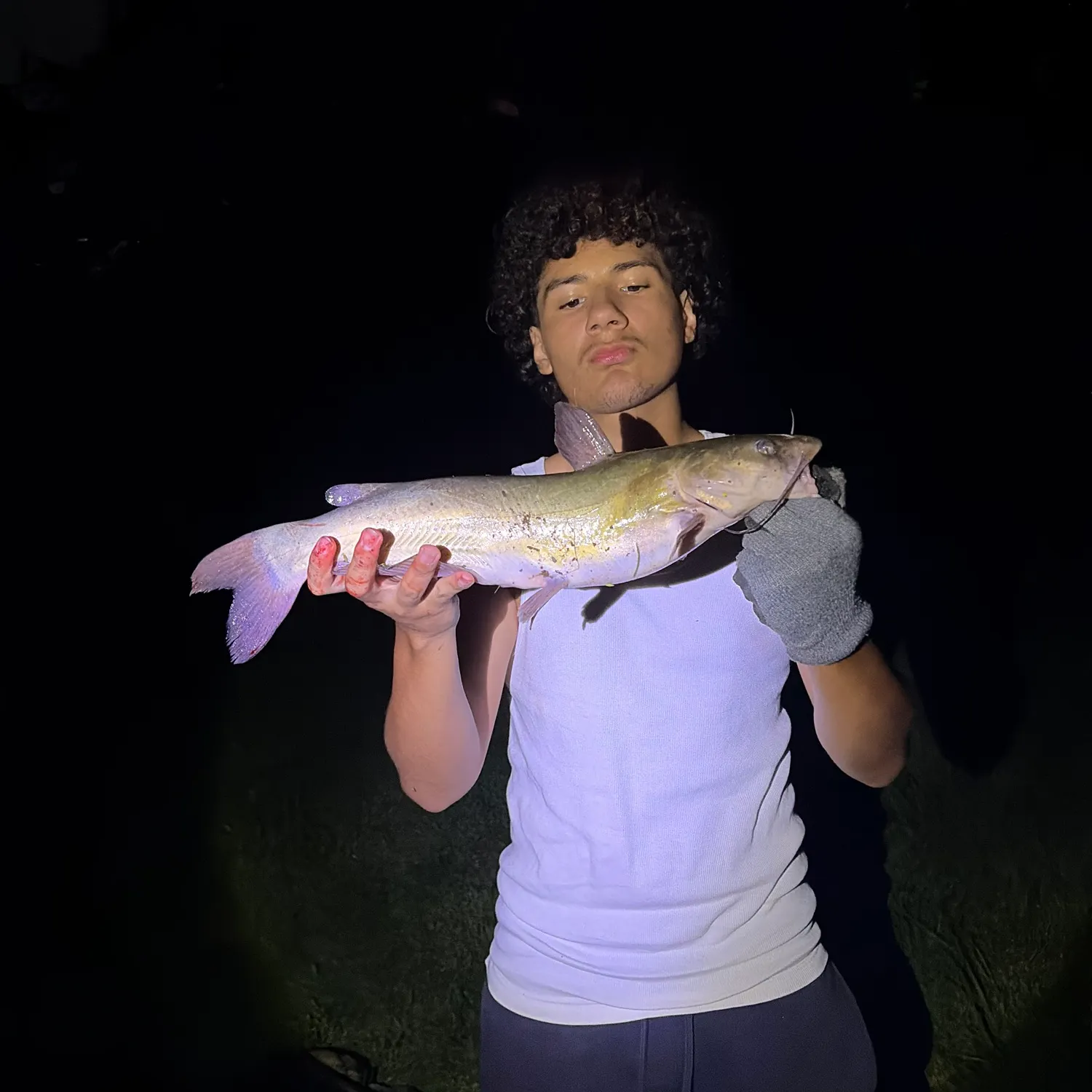
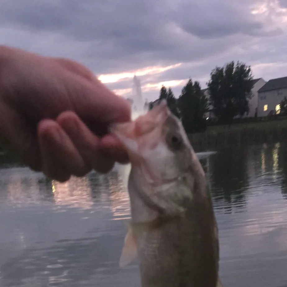
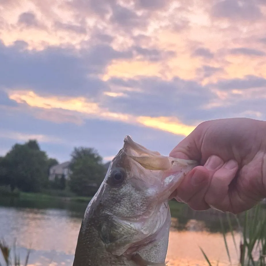
Latest Sugarland Run fishing reports

fish catches icon
recently logged catches
Loading...

Largemouth bass

length · weight

fish catches icon
recently logged catches
Loading...

Largemouth bass

Lake Thoreau

length · weight

fish catches icon
recently logged catches
Loading...

Largemouth bass

length · weight

fish catches icon
recently logged catches
Loading...

Blue catfish

Potomac River

length · weight

fish catches icon
recently logged catches
Loading...

Flathead catfish

length · weight

fish catches icon
recently logged catches
Loading...

Channel catfish

Potomac River (DC)

length · weight

fish catches icon
recently logged catches
Loading...

Flathead catfish

length · weight

fish catches icon
recently logged catches
Loading...

Flathead catfish

Difficult Run

length · weight

fish catches icon
recently logged catches
Loading...

Hickory shad

Potomac River (DC)

length · weight

fish catches icon
recently logged catches
Loading...

White perch

length · weight

Fishbrain
More catches in the app...

Continue browsing catches and catch locations in the Fishbrain app

Loading...
Loading...
Loading...

About Sugarland Run fishing

Check out the best fishing spots in and around Sugarland Run, Virginia. Anglers using Fishbrain have logged: 51,031 catches for Largemouth bass, 8,927 catches for Bluegill, and 8,016 catches for Blue catfish.

Loading...
Loading...
Loading...
Loading...
Loading...
Loading...
Loading...

Unlock fishing secrets in the app

Discover the best time to fish by species in your area with Bitetime™

Bite time image

Fishing regulations in Sugarland Run

Disclaimer: Always check local fishing regulations, water access rights and land ownership before fishing, regardless of any catches logged in that area by the Fishbrain community. Fishbrain has mapped millions of acres of government-owned land across the USA to help you identify potential fishing access, but you are responsible for ensuring compliance with all legal requirements.

Fishing regulations in Virginia can change throughout the year. Make sure to check this page before fishing for the most up to date rules and regulations for the current season. Local regulations govern when you can fish, the max size of the fish you can keep, how many fish you can keep, and more.

Below you will see fishing regulations for catching Largemouth bass as of April 2nd, 2026. To view regulations for a different fish species, please click on your preferred species in the drop-down.

Largemouth bass

Seasons

Open

Bag limit

5

Aggregate

5

No statewide length limit. Statewide regulations are shown above.

Exceptions - LAKES

Briery Creek Lake: No largemouth or smallmouth bass 16 to 24 inches, only 1 per day longer than 24-inches total length

Buggs Island Lake/Kerr Reservoir: Only 2 of 5 largemouth or smallmouth bass less than 14-inches total length

Claytor Lake: No smallmouth less than 14-inches total length

Flannagan Reservoir: No largemouth bass less than 12-inches; no smallmouth bass less than 15-inches total length

Lake Gaston: Only 2 of 5 largemouth or smallmouth bass less than 14-inches total length

Leesville Reservoir: Only 2 of 5 largemouth or smallmouth bass less than 14-inches total length

Lake Moomaw: No largemouth or smallmouth bass less than 12-inches total length

Philpott Reservoir: No largemouth or smallmouth bass less than 12-inches total length

Quantico Marine Base waters: No largemouth or smallmouth bass 12 to 15-inches total length

Smith Mt. Lake and its tributaries below Niagara Dam: Only 2 of 5 largemouth or smallmouth bass less than 14-inches total length

South Holston Reservoir: No smallmouth less than 15-inches total length

Exceptions - RIVERS

Clinch River–within the boundaries of Scott, Wise, Russell or Tazewell counties: No largemouth or smallmouth bass less than 20-inches, only 1 per day longer than 20-inches total length

Dan River and tributaries downstream from the Union Street Dam, Danville: Only 2 of 5 largemouth or smallmouth bass less than 14-inches total length

James River–Confluence of the Jackson and Cowpasture rivers (Botetourt Cty) downstream to the 14th St. Bridge in Richmond: No largemouth or smallmouth bass 14 to 22-inches, only 1 per day longer than 22-inches total length

Levisa Fork River–within the boundaries Buchanan County: No largemouth or smallmouth bass less than 20-inches, only 1 per day longer than 20-inches total length

New River–Fields Dam (Grayson County) downstream to the VA-WV state line and its tributaries Little River downstream from Little River Dam in Montgomery County, Big Walker Creek from the Norfolk Southern Railroad Bridge downstream to the New River and Wolf Creek from the Narrows Dam downstream to the New River in Giles County. (Not includING Claytor Lake which is delineated as the upper end of the island at Allisonia downstream to the dam.): No largemouth or smallmouth bass 14 to 22-inches, only 1 per day longer than 22-inches total length

North Fork Holston River–Rt. 91 Bridge upstream of Saltville, Va. downstream to the VA-TN state line: No largemouth or smallmouth bass less than 20-inches, only 1 per day longer than 20-inches total length

Potomac River – Virginia tidal tributaries above Rt. 301 bridge: No largemouth or smallmouth bass less than 15-inches total length from March 1 through June 15

Staunton (Roanoke) River–and its tributaries below Difficult Creek, Charlotte County: Only 2 of 5 largemouth or smallmouth bass less than 14-inches total length

North Fork, South Fork and Mainstem Shenandoah River: No largemouth or smallmouth bass 11 to 14-inches total length

Staunton River–Leesville Dam (Campbell County) downstream to the mouth of Difficult Creek, Charlotte County: No smallmouth bass less than 20-inches, only 1 per day longer than 20-inches total length

For additional information, see Virginia Department of Wildlife Resources.

Micropterus nigricans

Regulations for

39°01′51.2″N 77°22′34.3″W
Regulations in the map
App Section
Download Fishbrain and fish smarter
Unlimited access to the best fishing spot finder in the game. Get all the fishing intel you need to start catching more, and bigger, fish.

Free trial available

Loading...
Loading...
Loading...
Loading...

FAQ about Sugarland Run fishing

Most commonly caught species around Sugarland Run, VA:
The latest Sugarland Run, VA fishing reports are:
Download the and see today's Fishing and Weather Forecast for Sugarland Run, VA. We give you weather trends and help you find the perfect window to catch your next personal best. With Fishbrain Pro, you will get the following capabilities:
  • Plan smarter: Get hour-by-hour fishing weather conditions.
  • Fish at peak times: Use BiteTime™ predictions to maximize catches.
  • Stay ahead of the weather: Get hyper-local, real-time updates.

Other cities near Sugarland Run

Cascades

1.2 miles away

Sterling

2.4 miles away

Dranesville

2.5 miles away

Great Falls

4.2 miles away

Herndon

4.3 miles away

Ashburn

5.1 miles away

McNair

5.8 miles away

Reston

5.8 miles away

Lansdowne

6.9 miles away

Travilah

7.2 miles away

Broadlands

7.6 miles away

Wolf Trap

8.0 miles away

Franklin Farm

8.2 miles away

North Potomac

8.7 miles away

Brambleton

9.1 miles away

Potomac

9.8 miles away

Oakton

10.6 miles away

Chantilly

10.6 miles away

Leesburg

10.9 miles away

Tysons

11.0 miles away

Vienna

11.0 miles away

South Riding

11.0 miles away

Gaithersburg

11.3 miles away

Fair Oaks

11.5 miles away