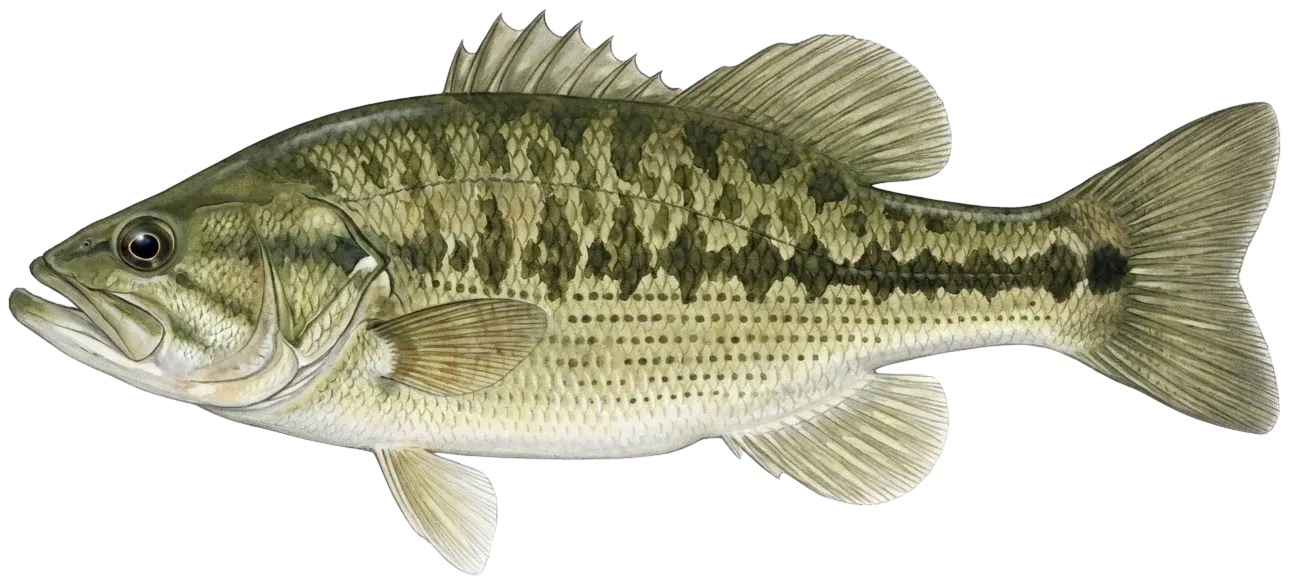
Special Season for Ozark Streams:May 27, 2023 - February 29, 2024 State limits apply on all Ozark streams, except those with more specific regulations. View map of streams.For more details please see https://mdc.mo.gov/fishing/species/black-bassBig Piney RiverFrom Slabtown Access to the Gasconade River:Daily limit: 6 black bass including only 1 smallmouth bass.Length limit: Smallmouth bass: minimum 15"Big Piney River Special Management Area mapFor more information see Black Bass special area restrictionsBig RiverMainstem and its tributaries, except as noted below: Daily and possession limit: Black bass: 12 fish including no more than 6 largemouth bass and smallmouth bass, combined total of both species.Size limit: Spotted bass: NoneFrom the Council Bluff Lake Dam to the Meramec River: Daily and possession limit: 12 black bass including no more than 6 largemouth bass and smallmouth bass, combined total of both species, may include only 1 smallmouth bassSize limit: Smallmouth bass: minimum 15 inchesBig River Special Management Area mapFor more information see Black Bass special area restrictionsBlue Springs CreekBlack bass: The daily and possession limit is 12 fish and may include no more than 6 largemouth bass and smallmouth bass, combined total of both species.Spotted bass: No minimum length limit.In Crawford CountyThe use of porous-soled waders is prohibited.For more information see Black Bass special area restrictionsBlue Springs LakeLength limit: Black bass: minimum 15"Allowed methods: Pole and line fishing only, except that shad may be taken by dip net or throw net.For more information see Black Bass special area restrictionsBourbeuse RiverMainstem and its tributaries:Spotted bass: No length limitsBlack bass: The daily and possession limit is 12 fish and may include no more than 6 largemouth bass and smallmouth bass, combined total of both species.For more information see Black Bass special area restrictionsBlue Shoals LakeLakewide: Ozark and TaneyLength limit: Black bass: minimum 15" on largemouth and smallmouth bass; minimum 12" on spotted bassOn the lake and its tributaries: Ozark, Taney, Christian, and DouglasDaily limit: Striped bass: only 3 striped bass may be included in the aggregateLength limit: Striped bass: minimum 20"There are no length limits for white bass, yellow bass, or their hybrids.From Powersite Dam to Highway 76: Taney Prohibited Methods: Trotlines, throwlines and limb linesFor more information see Black Bass special area restrictionsCurtois CreekMainstem and its tributaries:Daily limit: Black bass: 12 fish, including no more than 6 largemouth bass and smallmouth bass, combined total of both speciesLength limit: Spotted bass: NoneFor more information see Black Bass special area restrictionsEleven Point RiverIn Oregon County: The use of porous-soled waders is prohibited.From Thomasville Access to the Arkansas line:Smallmouth bass—15 inch minimum length limit. The daily limit of 6 black bass may include only 1 smallmouth bass.For more information see Black Bass special area restrictionsElk RiverLength limits: Smallmouth bass—minimum 15"Daily limit: Black bass—6, may include only 1 smallmouth bass.Elk River Special Management Area map For more information see Black Bass special area restrictionsGasconade RiverFrom Highway Y in Pulaski County to Highway D in Phelps CountyLength limits: Smallmouth bass—minimum 15"Daily limit: 6 black bass may include only 1 smallmouth bass.Gasconade River Special Management Area mapFor more information see Black Bass special area restrictionsHuzzah CreekMainstem and its tributaries:Length limit: Spotted bass—noneDaily limit: 12 fish and including no more than 6 largemouth bass and smallmouth bass, combined total of both species.For more information see Black Bass special area restrictionsJacks Fork RiverFrom Highway 17 to the Current River:Length Limits: Smallmouth bass—minimum 15"Daily Limit: 6 black bass including only 1 smallmouth bass.Jacks Fork River Special Management Area mapFor more information see Black Bass special area restrictionsJames RiverFrom Hooten Town bridge (the Loop Road at Route O) to the Highway 413/Highway 265 bridge at GalenaLength Limits:Smallmouth bass—minimum 15"Daily Limit: 6 black bass including only 1 smallmouth bass.James River Special Management Area map For more information see Black Bass special area restrictionsJoachim CreekFrom Jefferson County Highway V bridge to Highway A bridge:Length limits: Smallmouth bass— minimum 15"Daily limit: 6 black bass, including only 1 smallmouth bassJoachim Creek Special Management Area mapFor more information see Black Bass special area restrictionsLake of the OzarksLakewide:Length limit: Black bass: minimum 15" for largemouth and smallmouth bass; minimum 12" for spotted bassOn the lake and its tributaries:Daily limit: Do not continue to snag, snare or grab for any species after taking a daily limit of 2 paddlefish.Within 525 feet on the left descending bank and 977 feet on the right descending bank below Truman Dam in the U.S. Army Corps of Engineers' restricted zone:Area note: No fishing is allowed.From the downstream end of the no-fishing zone below Truman Dam to U.S. Highway 65:Prohibited methods: Trotlines, throwlines, limb lines, jug lines, snagging, snaring and grabbing are prohibited.For more information see Black Bass special area restrictionsLong Branch LakeLength Limits: Black bass: minimum 15"For more information see Black Bass special area restrictionsLongview LakeLength limit: Black bass: minimum 15"Allowed methods: Pole and line fishing only, except that shad may be taken by dip net or throw net.For more information see Black Bass special area restrictionsMark Twain LakeLength limits: Black bass: minimum 15"For more information see Black Bass special area restrictionsMeramec RiverBlack bass: Daily and possession limit is 12 fish and may include no more than 6 largemouth bass and smallmouth bass, combined total of both species.Spotted bass: no minimum length limitIn Crawford and Phelps counties:The use of porous-soled waders is prohibited.From Highway 8 bridge to the railroad crossing at Bird's Nest:Length limit: Smallmouth bass: 15 inch minimum.Daily and possession limit: 12 black bass, which may include no more than 6 largemouth bass and smallmouth bass, combined total of both species, may include only 1 smallmouth bass.Meramec River Special Management Area mapFor more information see Black Bass special area restrictionsMineral ForkMainstem and its tributaries, except as noted below:Daily limit: Black bass—The daily and possession limit is 12 fish and may include no more than 6 largemouth bass and smallmouth bass, combined total of both species.Length limit: Spotted bass—No minimum length limitFrom Highway F in Washington County to the Big River:Length limit: Smallmouth bass—minimum 15"Daily limit: Daily and possession limit of 12 black bass, which may include no more than 6 largemouth bass and smallmouth bass, combined total of both species, may include only 1 smallmouth bassMineral Fork Special Management Area mapFor more information see Black Bass special area restrictionsMississippi RiverThis area encompasses the Mississippi River, including Pools 20-26, the temporary overflow waters east of the Missouri Pacific Railroad between Cape Girardeau and Scott City, and the temporary overflow waters east of the mainline and setback levees between Commerce and the Arkansas state line.Mississippi River, including Pools 20-26Length limits: Black bass: minimum 12"Allowed methods: Limit of 2 poles per licensed angler. Limit of 50 hooks on a trotlineFor more information see Black Bass special area restrictionsMontrose LakeDaily Limit: Black bass: 2Length limit: Black bass: minimum 18"For more information see Black Bass special area restrictionsNorfork LakeLakewide:Length limit: Black bass: minimum 15" on largemouth and smallmouth bass; minimum 12" on spotted bassFor more information see Black Bass special area restrictionsOsage Fork of the Gasconade RiverFrom Skyline Drive bridge near Orla in Laclede County to the Gasconade River:Daily limit: 6 black bass including only 1 smallmouth bassLength limit: Smallmouth bass—minimum 15"Osage Fork Special Management Area mapFor more information see Black Bass special area restrictionsPomme de Terre LakeLength limits: Black bass: minimum 13"For more information see Black Bass special area restrictionsSalt RiverOn the Clarence Cannon Reregulation Pool within 400 feet below Clarence Cannon Dam in the no-boating zone:No fishing is allowed.From the downstream end of the no-fishing zone below Clarence Cannon Dam to the posted power line crossing on the Clarence Cannon Reregulation Pool:Allowed methods: Pole and line fishing only.From the Clarence Cannon Reregulation Pool below Mark Twain Lake damLength limit: Black bass—minimum 12"From all adjoining backwaters and from the main channel beginning 1,000 feet below the Clarence Cannon Reregulation Pool Dam to Route A: Allowed methods: Fishing by pole and line and bow onlyFor more information see Black Bass special area restrictionsSmithville LakeLength limits: Black bass: minimum 15"For more information see Black Bass special area restrictionsStockton LakeLength limits: Black bass: minimum 15" length limit on largemouth and smallmouth bass; minimum 12" length limit on spotted bass.For more information see Black Bass special area restrictionsTable Rock LakeLakewide:Daily limit: Do not continue to snag, snare or grab for any species after taking a daily limit of 2 paddlefish.Size limit: Black bass: minimum 15"For more information see Black Bass special area restrictionsTen Mile CreekFrom Highway B in Carter County to Cane CreekLength limits: Smallmouth bass—minimum 15"Daily limit: 6 black bass including only 1 smallmouth bass.Tenmile Creek Special Management Area mapFor more information see Black Bass special area restrictionsThomas Hill LakeLength limits: Black bass: minimum 15"For more information see Black Bass special area restrictionsTruman LakeLakewideSize limit: Black bass: minimum 15" length limit on largemouth and smallmouth bass; minimum 12" length limit on spotted bass.On the lake and its tributariesDaily limit: Prohibited Methods: No person shall continue to snag, snare or grab for any species after taking a daily limit of 2 paddlefish.For more information see Black Bass special area restrictions