
Top fish species at Brockliss Slough

Check which species have trophy potential in Brockliss Slough
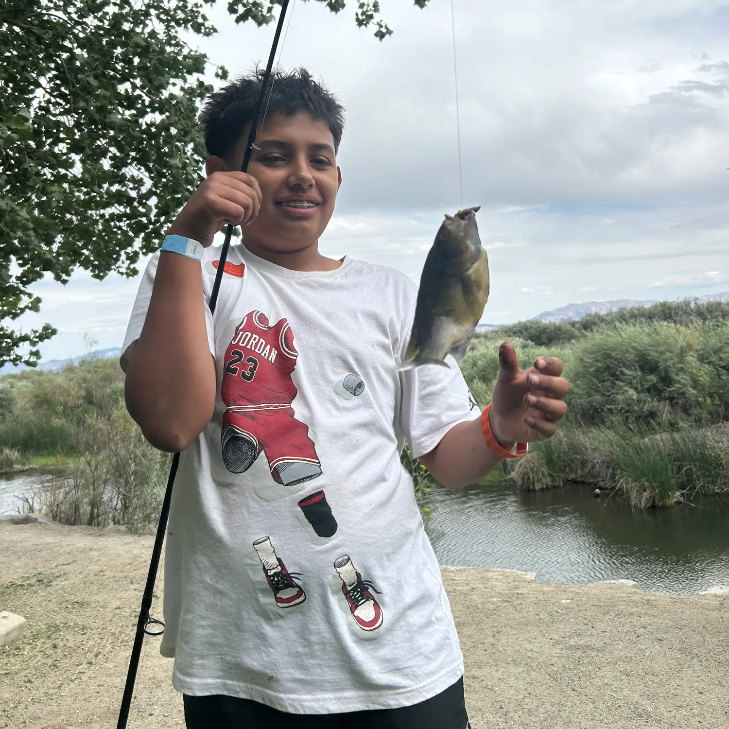
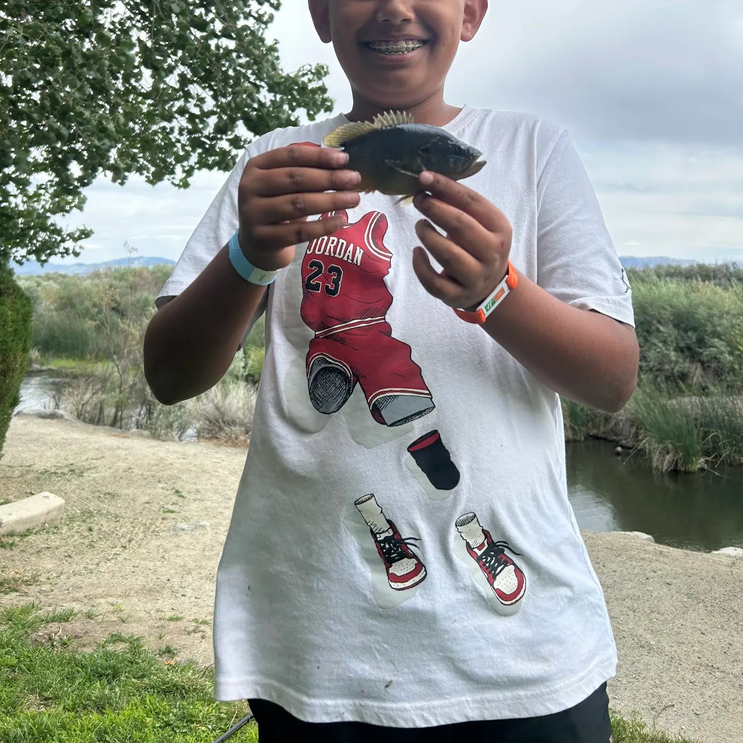
Brockliss Slough fishing reports


Continue browsing catches and catch locations in the Fishbrain app
When are Largemouth Bass biting on Brockliss Slough?
Learn what time of year and day to go fishing at Brockliss Slough. Download Fishbrain today to look for new fishing spots, scout new fishing access, or prep for your next trip.

Fishing regulations at Brockliss Slough, NV
Disclaimer: Always check local fishing regulations, water access rights and land ownership before fishing, regardless of any catches logged in that area by the Fishbrain community. Fishbrain has mapped millions of acres of government-owned land across the USA to help you identify potential fishing access, but you are responsible for ensuring compliance with all legal requirements.
Fishing regulations in Nevada can change throughout the year. Make sure to check this page before fishing for the most up to date rules and regulations for the current season. Local regulations govern when you can fish, the max size of the fish you can keep, how many fish you can keep, and more.
Regulations for top species

Green sunfish
Aggregate limit15
The maximum number of individual fish across an aggregate group of species legally harvested per harvester per day.
Restrictions & requirements
NV Hook & Line
Fish may be taken only with hook and line attached to rod or reel and closely attended in the manner known as angling (Except as noted under Spearfishing / Bowfishing" and "Unprotected Fish"). No more than three baited hooks, nor more than three fly hooks, or two lures or plugs irrespective of the number of hooks or attractor blades attached thereto, may be attached to the line. No more than two lines may be used.
NV Spearfishing/Bowfishing
Persons may spearfish for unprotected fish in all Nevada waters except Lake Tahoe and Topaz Lake. Persons may spearfish for striped bass in Lake Mead and Lake Mohave from Cottonwood Cove to the cable below Hoover Dam. Spearfishing for striped bass is prohibited in that portion of Lake Mohave from Cottonwood Cove to Davis Dam and from Davis Dam down river to the Nevada state line. In Lakes Mead and Mohave and the Colorado River system, spearfishing is prohibited within 1/2 mile of any dock or swimming area. When spearfishing, a person must display, within 100 feet, an appropriate diver's flag. A mechanical spearing device may be used only under the surface of the water, and the spear must be attached to the device by a lanyard. Fishing license regulations apply to persons taking fish by means of spear or bow and arrow. (Refer to NAC 503.590-592) Only unprotected fish may be taken with a bow and arrow except where prohibited (Refer to NAC 503.580) Please contact the county you'll be fishing in prior to assure you are in compliance with county regulations.See Nevada State Regulations for more detail.
NV Western Region Daily Limits
The limit is 5 trout, 5 mountain whitefish and 15 warmwater game fish of which not more than 5 may be black bass and 5 may be walleye.Possession LimitsThe possession limit is two times the daily limit for the water in which the fish are caught. Possession limits apply to both general and special regulation waters.
NV Statewide Bait Use
Any person possessing a fishing license or permit, or otherwise exempted from such licenses, may capture, transport and use live baitfish, aquatic bait, or commercially prepared and preserved baitfish for fishing or personal consumption where specified by Region.Live baitfish means live, unprotected species of freshwater fish.Aquatic bait means live, unprotected amphibians (such as bullfrogs), crustaceans (such as crayfish), mollusks (such as clams and snails), insects (such as grasshoppers), or worms (such as natural earthworms or purchased nightcrawlers or redworms).The use of any game fish (see Coldwater Game Fish and Warmwater Game Fish sections below) or protected species as bait and parts thereof is prohibited, except preserved salmon eggs.Commercially Prepared and Preserved bait means dead dried, frozen, or liquid (such as in mineral oil, isopropyl alcohol, or ethyl alcohol), dry (such as in salt or borax), or other proprietary preserved or cured fish or their parts or aquatic bait.Any bait obtained from a licensed dealer of live bait fish must be accompanied by a current dated receipt by that dealer. See Fishing with Bait Fish for regulations for bait fishing by region.
Edibility
Synonyms
Location regulation notes
Western Region Daily Limits
Except as noted under "Special Regulations" the daily limits are as follows:Carson City, Churchill County, Douglas County, Lyon County, Humbolt County, Mineral County, Pershing County, Storey County and Washoe County: The limit is 5 trout, 5 mountain whitefish and 15 warmwater game fish of which not more than 5 may be black bass and 5 may be walleye.Possession Limits
The possession limit is two times the daily limit for the water in which the fish are caught. Possession limits apply to both general and special regulation waters.Location specific information
Western Region Daily Limits
Except as noted under "Special Regulations" the daily limits are as follows:Carson City, Churchill County, Douglas County, Lyon County, Humbolt County, Mineral County, Pershing County, Storey County and Washoe County: The limit is 5 trout, 5 mountain whitefish and 15 warmwater game fish of which not more than 5 may be black bass and 5 may be walleye.Possession Limits
The possession limit is two times the daily limit for the water in which the fish are caught. Possession limits apply to both general and special regulation waters.Daily LimitsExcept as noted below the daily limits are as follows: 5 trout, 5 mountain whitefish and 15 warmwater game fish of which not more than 5 may be black bass and 5 may be walleye.Possession LimitsThe possession limit is two times the daily limit for the water in which the fish are caught. Possession limits apply to both general and special regulation waters.
Lake Tahoe and TributariesSee Carson City.Mitch Park Pond, Lampe Parke Pond, Martin Slough Pond, Seeman Pond, Mountain View Park PondYear round; hours are when the park is open to public use.3 game fish.Spooner LakeYear round; 1 hour before sunrise to 2 hours after sunset.5 trout.Topaz LakeYear round; one hour before sunrise to two hours after sunset, except for the area within the jetties of Topaz Marina which is closed to fishing.5 trout, 5 mountain whitefish, and 25 warmwater game fish of which not more than 5 may be black bass.Special Regulations: There is no chumming at Topaz Lake (see General Statewide Regulations).DOUGLAS COUNTY CLOSED WATERS: Lake Tahoe within the boat launch area, inside the jetty at the Cave Rock boat ramp, north end. Glenbrook Creek from Lake Tahoe to Hwy 50. Topaz Lake within the jetties of Topaz Marina.
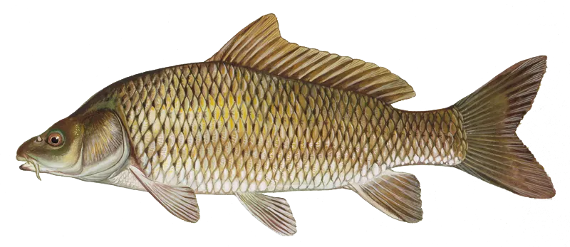
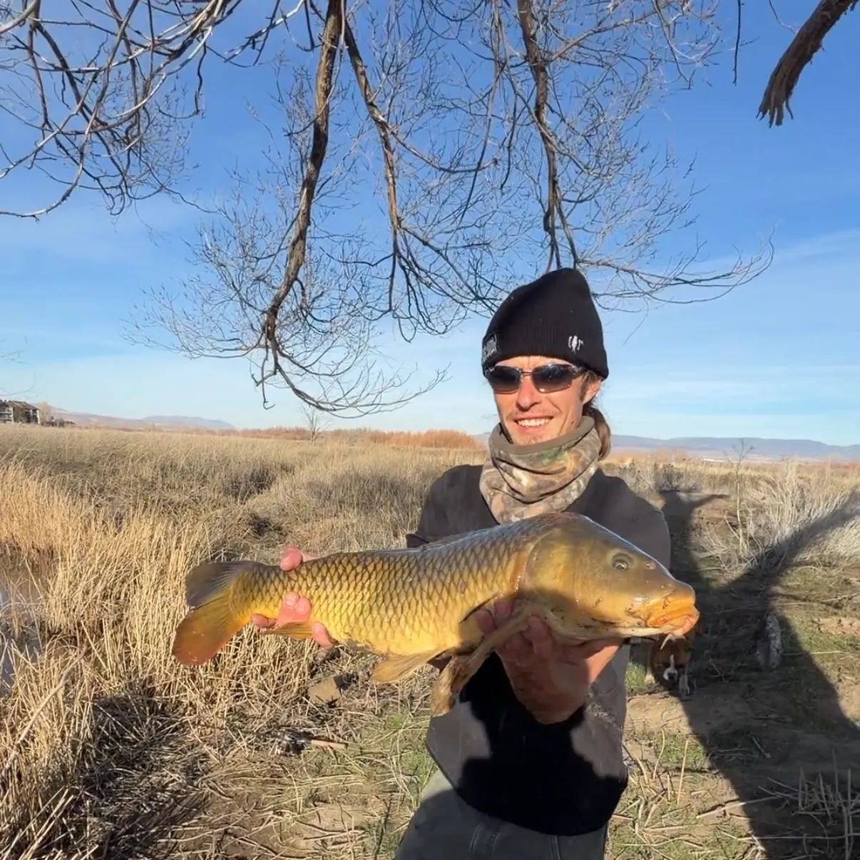
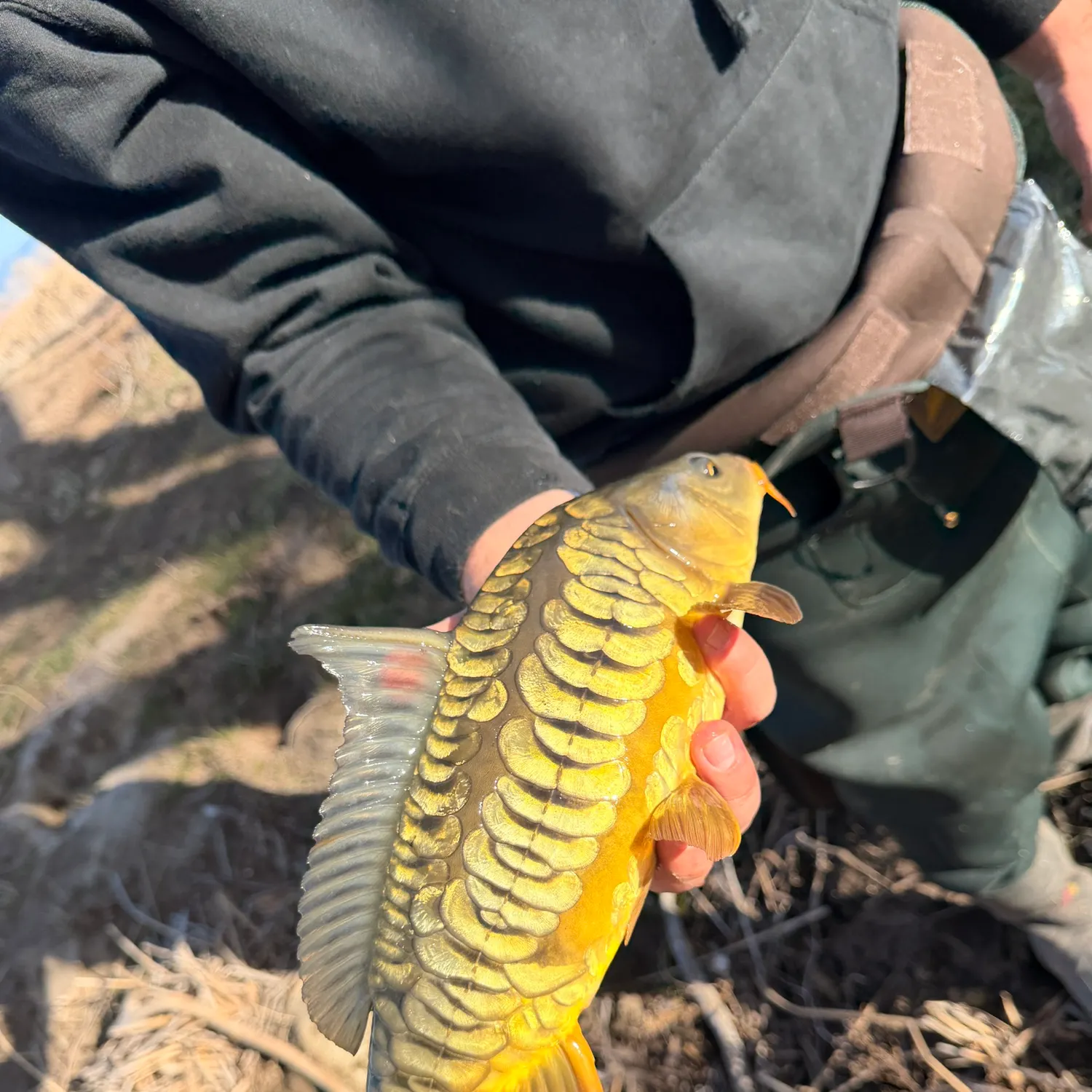
Common carp
Restrictions & requirements
NV Hook & Line
Fish may be taken only with hook and line attached to rod or reel and closely attended in the manner known as angling (Except as noted under Spearfishing / Bowfishing" and "Unprotected Fish"). No more than three baited hooks, nor more than three fly hooks, or two lures or plugs irrespective of the number of hooks or attractor blades attached thereto, may be attached to the line. No more than two lines may be used.
NV Spearfishing/Bowfishing
Persons may spearfish for unprotected fish in all Nevada waters except Lake Tahoe and Topaz Lake. Persons may spearfish for striped bass in Lake Mead and Lake Mohave from Cottonwood Cove to the cable below Hoover Dam. Spearfishing for striped bass is prohibited in that portion of Lake Mohave from Cottonwood Cove to Davis Dam and from Davis Dam down river to the Nevada state line. In Lakes Mead and Mohave and the Colorado River system, spearfishing is prohibited within 1/2 mile of any dock or swimming area. When spearfishing, a person must display, within 100 feet, an appropriate diver's flag. A mechanical spearing device may be used only under the surface of the water, and the spear must be attached to the device by a lanyard. Fishing license regulations apply to persons taking fish by means of spear or bow and arrow. (Refer to NAC 503.590-592) Only unprotected fish may be taken with a bow and arrow except where prohibited (Refer to NAC 503.580) Please contact the county you'll be fishing in prior to assure you are in compliance with county regulations.See Nevada State Regulations for more detail.
Additional information
Unprotected fish are all species not classified as game or protected (see Coldwater Game Fish and Warmwater Game Fish regulations). Unprotected fish may be taken by bow and arrow, hook and line, dipnet, cast net, minnow seine or minnow trap, and, except where prohibited, by spear. In the Colorado River and Lakes Mead and Mohave, the taking of fish by bow and arrow is prohibited within 1/2 mile of any dock or swimming area. Fishing license regulations apply to persons taking unprotected fish by means of hook and line, bow and arrow or spear.
Edibility
Synonyms
Location specific information
Western Region Daily Limits
Except as noted under "Special Regulations" the daily limits are as follows:Carson City, Churchill County, Douglas County, Lyon County, Humbolt County, Mineral County, Pershing County, Storey County and Washoe County: The limit is 5 trout, 5 mountain whitefish and 15 warmwater game fish of which not more than 5 may be black bass and 5 may be walleye.Possession Limits
The possession limit is two times the daily limit for the water in which the fish are caught. Possession limits apply to both general and special regulation waters.Daily LimitsExcept as noted below the daily limits are as follows: 5 trout, 5 mountain whitefish and 15 warmwater game fish of which not more than 5 may be black bass and 5 may be walleye.Possession LimitsThe possession limit is two times the daily limit for the water in which the fish are caught. Possession limits apply to both general and special regulation waters.
Lake Tahoe and TributariesSee Carson City.Mitch Park Pond, Lampe Parke Pond, Martin Slough Pond, Seeman Pond, Mountain View Park PondYear round; hours are when the park is open to public use.3 game fish.Spooner LakeYear round; 1 hour before sunrise to 2 hours after sunset.5 trout.Topaz LakeYear round; one hour before sunrise to two hours after sunset, except for the area within the jetties of Topaz Marina which is closed to fishing.5 trout, 5 mountain whitefish, and 25 warmwater game fish of which not more than 5 may be black bass.Special Regulations: There is no chumming at Topaz Lake (see General Statewide Regulations).DOUGLAS COUNTY CLOSED WATERS: Lake Tahoe within the boat launch area, inside the jetty at the Cave Rock boat ramp, north end. Glenbrook Creek from Lake Tahoe to Hwy 50. Topaz Lake within the jetties of Topaz Marina.

Largemouth bass
Aggregate limit5
The maximum number of individual fish across an aggregate group of species legally harvested per harvester per day.
Restrictions & requirements
NV Hook & Line
Fish may be taken only with hook and line attached to rod or reel and closely attended in the manner known as angling (Except as noted under Spearfishing / Bowfishing" and "Unprotected Fish"). No more than three baited hooks, nor more than three fly hooks, or two lures or plugs irrespective of the number of hooks or attractor blades attached thereto, may be attached to the line. No more than two lines may be used.
NV Spearfishing/Bowfishing
Persons may spearfish for unprotected fish in all Nevada waters except Lake Tahoe and Topaz Lake. Persons may spearfish for striped bass in Lake Mead and Lake Mohave from Cottonwood Cove to the cable below Hoover Dam. Spearfishing for striped bass is prohibited in that portion of Lake Mohave from Cottonwood Cove to Davis Dam and from Davis Dam down river to the Nevada state line. In Lakes Mead and Mohave and the Colorado River system, spearfishing is prohibited within 1/2 mile of any dock or swimming area. When spearfishing, a person must display, within 100 feet, an appropriate diver's flag. A mechanical spearing device may be used only under the surface of the water, and the spear must be attached to the device by a lanyard. Fishing license regulations apply to persons taking fish by means of spear or bow and arrow. (Refer to NAC 503.590-592) Only unprotected fish may be taken with a bow and arrow except where prohibited (Refer to NAC 503.580) Please contact the county you'll be fishing in prior to assure you are in compliance with county regulations.See Nevada State Regulations for more detail.
NV Western Region Daily Limits
The limit is 5 trout, 5 mountain whitefish and 15 warmwater game fish of which not more than 5 may be black bass and 5 may be walleye.Possession LimitsThe possession limit is two times the daily limit for the water in which the fish are caught. Possession limits apply to both general and special regulation waters.
NV Statewide Bait Use
Any person possessing a fishing license or permit, or otherwise exempted from such licenses, may capture, transport and use live baitfish, aquatic bait, or commercially prepared and preserved baitfish for fishing or personal consumption where specified by Region.Live baitfish means live, unprotected species of freshwater fish.Aquatic bait means live, unprotected amphibians (such as bullfrogs), crustaceans (such as crayfish), mollusks (such as clams and snails), insects (such as grasshoppers), or worms (such as natural earthworms or purchased nightcrawlers or redworms).The use of any game fish (see Coldwater Game Fish and Warmwater Game Fish sections below) or protected species as bait and parts thereof is prohibited, except preserved salmon eggs.Commercially Prepared and Preserved bait means dead dried, frozen, or liquid (such as in mineral oil, isopropyl alcohol, or ethyl alcohol), dry (such as in salt or borax), or other proprietary preserved or cured fish or their parts or aquatic bait.Any bait obtained from a licensed dealer of live bait fish must be accompanied by a current dated receipt by that dealer. See Fishing with Bait Fish for regulations for bait fishing by region.
Edibility
Synonyms
Location regulation notes
Western Region Daily Limits
Except as noted under "Special Regulations" the daily limits are as follows:Carson City, Churchill County, Douglas County, Lyon County, Humbolt County, Mineral County, Pershing County, Storey County and Washoe County: The limit is 5 trout, 5 mountain whitefish and 15 warmwater game fish of which not more than 5 may be black bass and 5 may be walleye.Possession Limits
The possession limit is two times the daily limit for the water in which the fish are caught. Possession limits apply to both general and special regulation waters.Location specific information
Western Region Daily Limits
Except as noted under "Special Regulations" the daily limits are as follows:Carson City, Churchill County, Douglas County, Lyon County, Humbolt County, Mineral County, Pershing County, Storey County and Washoe County: The limit is 5 trout, 5 mountain whitefish and 15 warmwater game fish of which not more than 5 may be black bass and 5 may be walleye.Possession Limits
The possession limit is two times the daily limit for the water in which the fish are caught. Possession limits apply to both general and special regulation waters.Daily LimitsExcept as noted below the daily limits are as follows: 5 trout, 5 mountain whitefish and 15 warmwater game fish of which not more than 5 may be black bass and 5 may be walleye.Possession LimitsThe possession limit is two times the daily limit for the water in which the fish are caught. Possession limits apply to both general and special regulation waters.
Lake Tahoe and TributariesSee Carson City.Mitch Park Pond, Lampe Parke Pond, Martin Slough Pond, Seeman Pond, Mountain View Park PondYear round; hours are when the park is open to public use.3 game fish.Spooner LakeYear round; 1 hour before sunrise to 2 hours after sunset.5 trout.Topaz LakeYear round; one hour before sunrise to two hours after sunset, except for the area within the jetties of Topaz Marina which is closed to fishing.5 trout, 5 mountain whitefish, and 25 warmwater game fish of which not more than 5 may be black bass.Special Regulations: There is no chumming at Topaz Lake (see General Statewide Regulations).DOUGLAS COUNTY CLOSED WATERS: Lake Tahoe within the boat launch area, inside the jetty at the Cave Rock boat ramp, north end. Glenbrook Creek from Lake Tahoe to Hwy 50. Topaz Lake within the jetties of Topaz Marina.


Free trial available