
Top fish species at Mosaic Recreation Area

Check which species have trophy potential in Mosaic Recreation Area
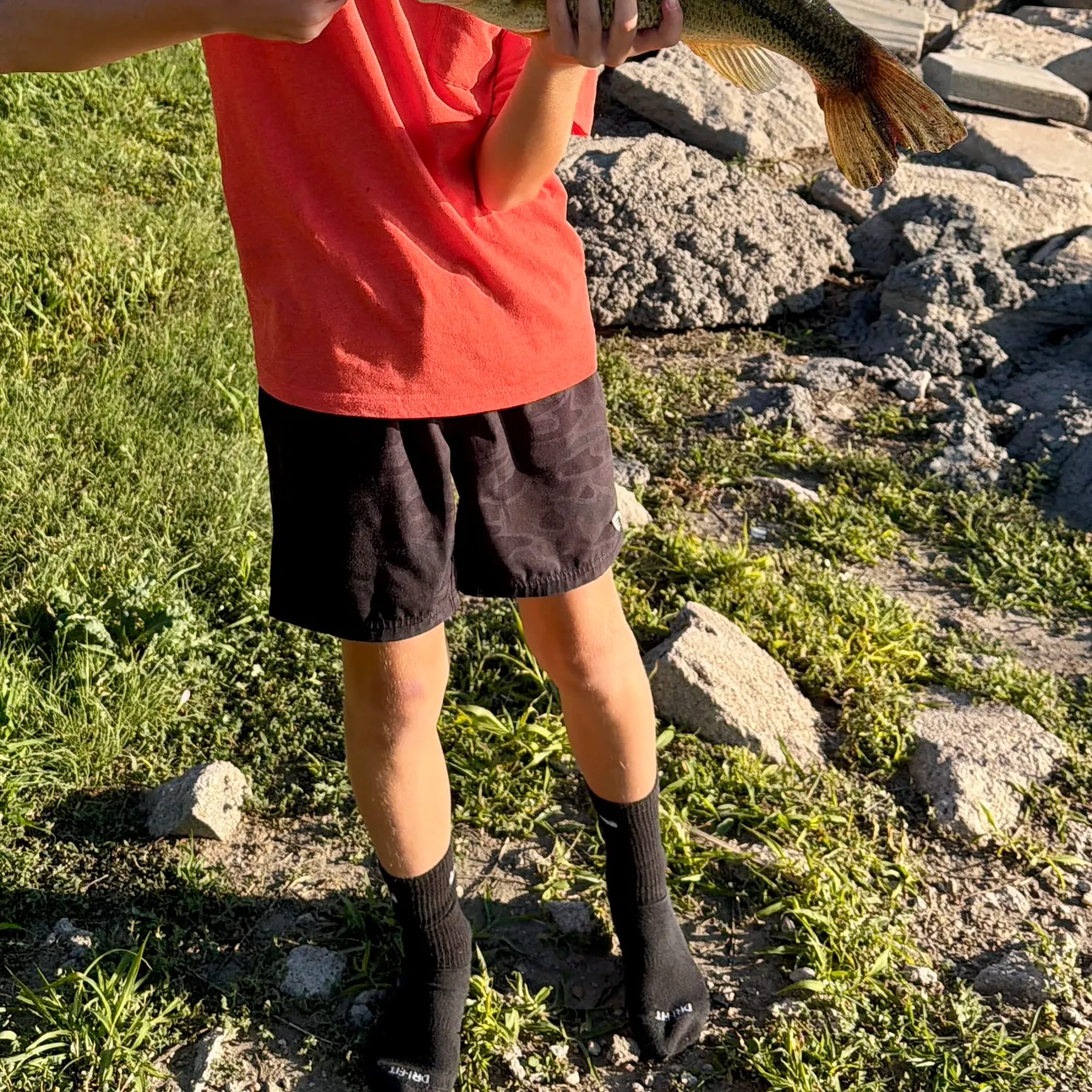
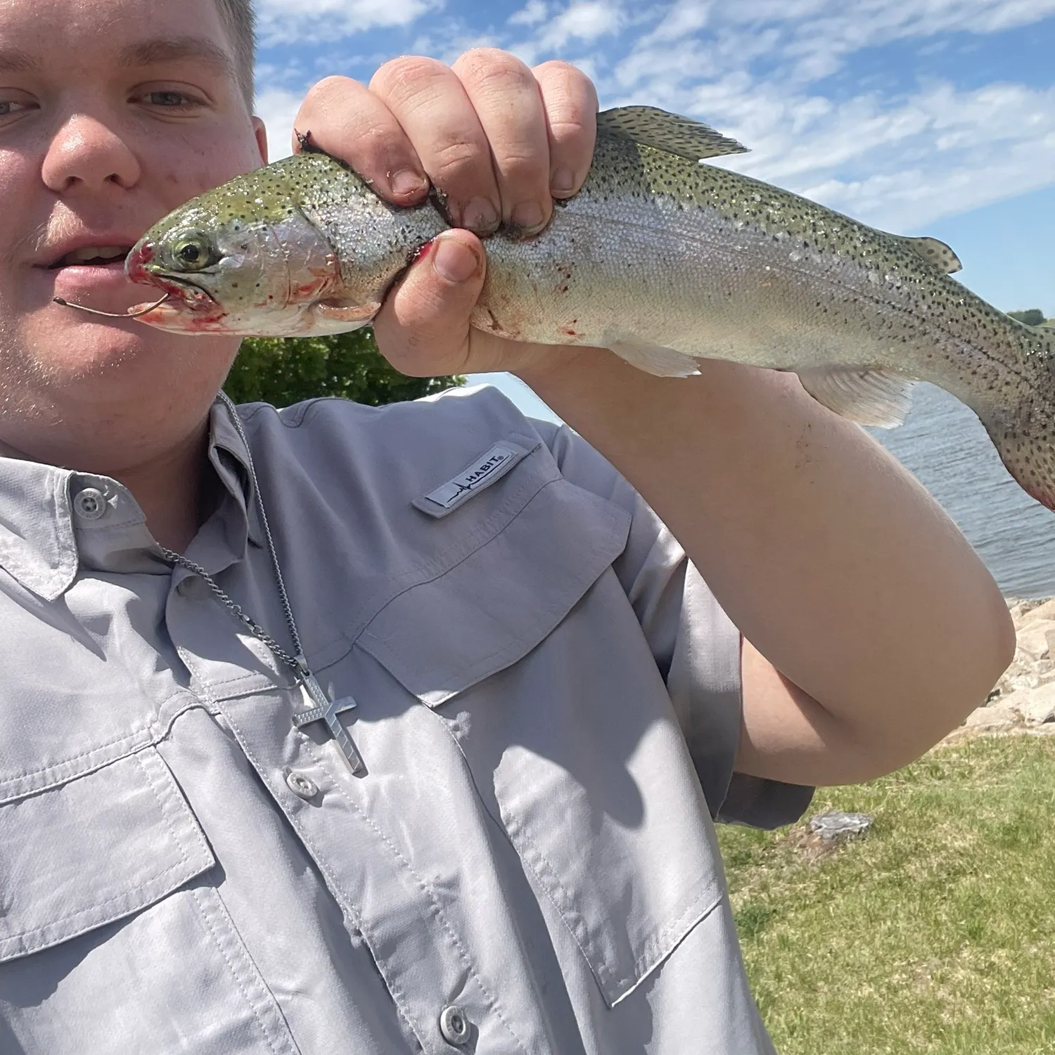
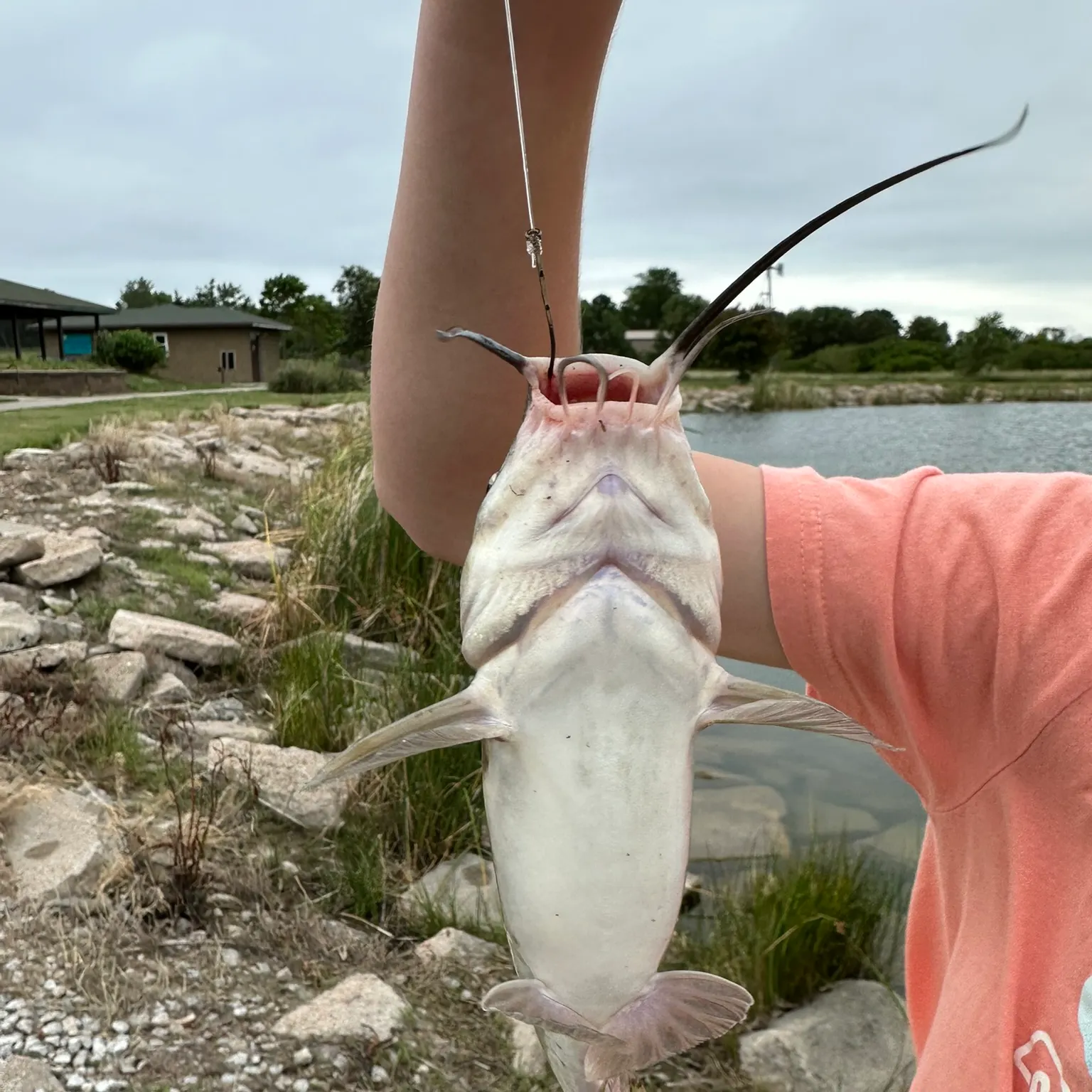
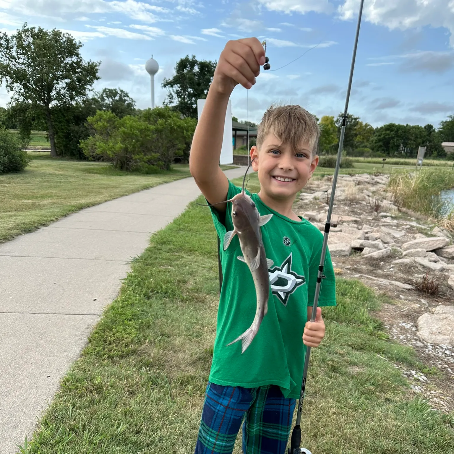
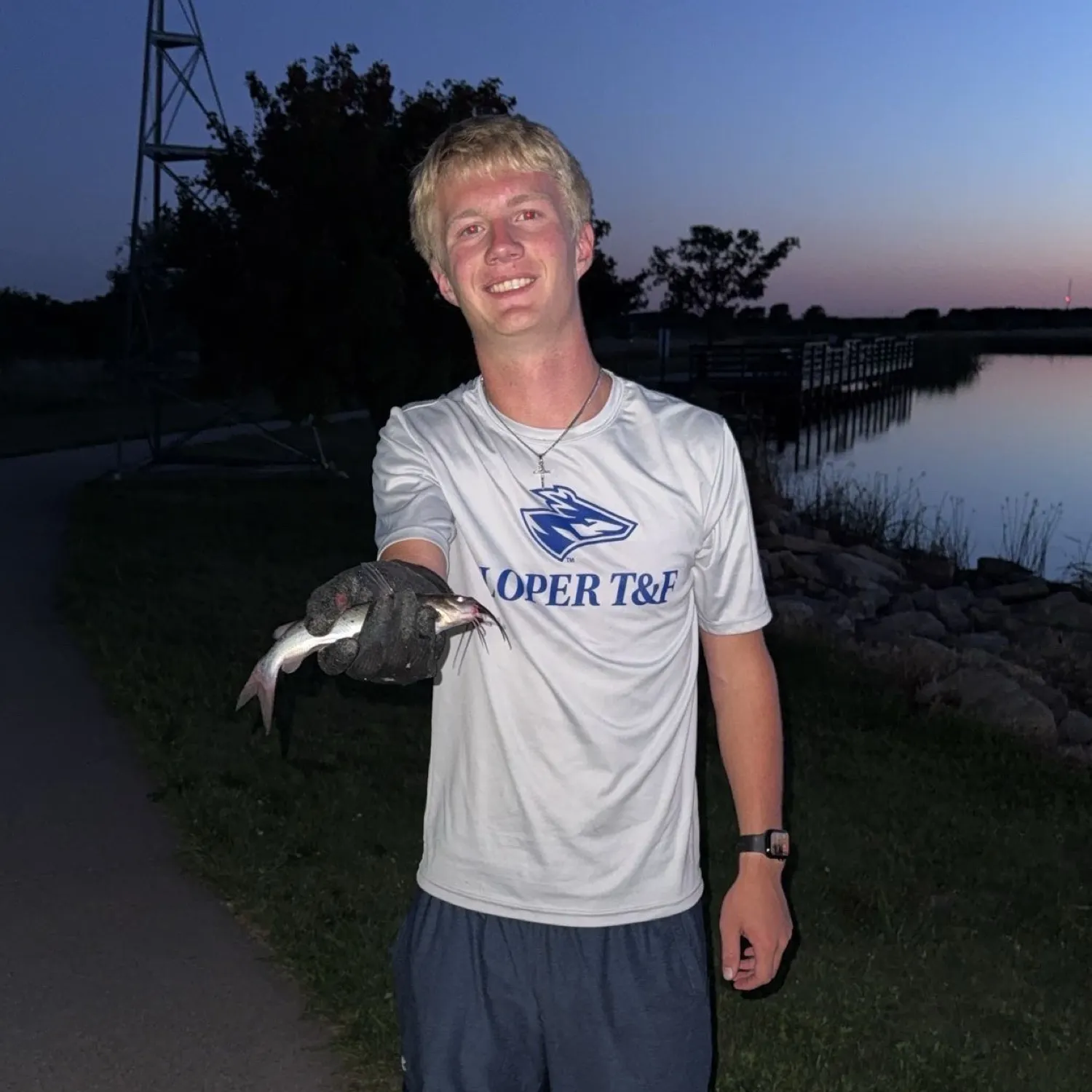
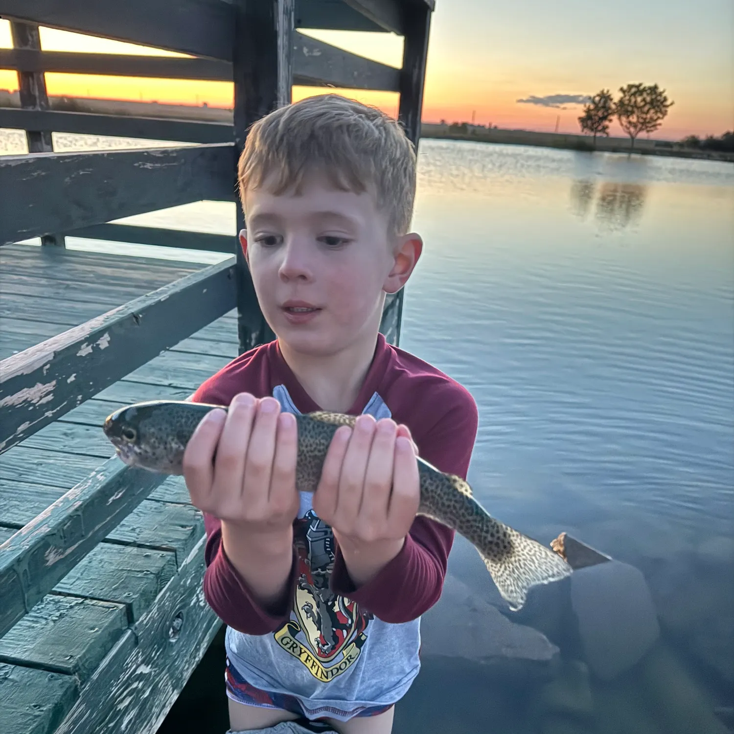
Mosaic Recreation Area fishing reports

Continue browsing catches and catch locations in the Fishbrain app
Fishing regulations at Mosaic Recreation Area, NE
Disclaimer: Always check local fishing regulations, water access rights and land ownership before fishing, regardless of any catches logged in that area by the Fishbrain community. Fishbrain has mapped millions of acres of government-owned land across the USA to help you identify potential fishing access, but you are responsible for ensuring compliance with all legal requirements.
Fishing regulations in Nebraska can change throughout the year. Make sure to check this page before fishing for the most up to date rules and regulations for the current season. Local regulations govern when you can fish, the max size of the fish you can keep, how many fish you can keep, and more.
Regulations for top species

Channel catfish
Bag limit5
The maximum number of individual fish legally harvested per harvester per day. Bag limits are only for properly licensed anglers actively harvesting the species. People who are not actively harvesting or are not properly licensed (if a license is required) may NOT be counted for the purpose of bag limits.
Special gear
NE Regs
HOOK-AND-LINE REGULATIONS Hook-and-line fishing is allowed year-round throughout the state, except as noted or as posted at an area. Definition of a Hook – One hook means a single-, double- or treble-pointed hook. All hooks attached to an artificial bait or lure shall be counted as one hook. Ponds, Lakes or Reservoirs – Anglers are limited to no more than two lines, with a maximum of two hooks on each line, with these being any type of attached line (such as rod and reel or fishing pole) on all lakes, ponds or reservoirs or in their inlets, outlets and canals within one-half mile of these bodies of water, with the exception of ice-fishing line limits. This includes Lewis and Clark Lake from Gavins Point Dam upstream to the Santee boat ramp in Knox County. Ice-Fishing – A total of five lines with two hooks on each line are permitted. Each line must be under direct supervision and within unaided observation of the angler. Holes made for ice-fishing may not exceed 10 inches in diameter on any area controlled or managed by Game and Parks, including U.S. Fish and Wildlife Service refuges. A special $5 permit is required for a permanent shelter on state recreation areas and wildlife management area lakes. Applications and regulations are available from conservation officers or Game and Parks offices. This does not apply to temporary shelters used and removed each day. Rivers or Streams – A total of 15 hooks are allowed, ranging from 15 lines each with a single hook attached, to three lines with a maximum of five hooks attached. These hook-and-line limits apply to anglers who must be one- half mile from any lake, pond or reservoir that is associated with that river or stream. These can be rods and reels, poles, bank lines, limb lines or setlines that are attached to a fixed object in a river, stream or canal and not free- floating. Jug lines are illegal and are defined as a free-floating line that contains fishing hooks entirely supported by flotation. All bank lines, limb lines and setlines must contain the angler's name, address and fishing-permit number or driver's license number. Bank lines, limb lines and setlines must be checked every 24 hours. Removal of Bank Lines, Limb Lines and Setlines – Upon completion of fishing, all bank lines, limb lines and setlines must be removed. Within the boundaries of the Missouri National Recreational River, limb lines and setlines are prohibited within 200 feet of public boat landings or swimming areas.
Restrictions & requirements
Culling
Culling and high-grading are not allowed. Any fish that is not to be counted in the daily bag limit must be returned immediately to the water with as little injury as possible. Any fish placed on a stringer or in a container, or not returned to the water must be counted in the bag.
NE Snagging
Snagging of paddlefish and nongame fish is permitted only in the Missouri River under season dates and limits specified in the Paddlefish snagging section. All other state waters are closed to snagging for all species at all times. All fish snagged accidentally or otherwise foul-hooked, must be returned to the water immediately.
Additional information
Edibility
Synonyms
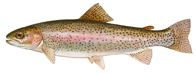
Rainbow trout
Bag limit5
The maximum number of individual fish legally harvested per harvester per day. Bag limits are only for properly licensed anglers actively harvesting the species. People who are not actively harvesting or are not properly licensed (if a license is required) may NOT be counted for the purpose of bag limits.
Memorable / trophy limits1 > 16
The maximum number of trophy individuals legally harvested per harvester per day. A trophy is any individual of a length greater than the max size limit. Trophy individuals are included in the daily bag limit unless stated otherwise.
Special gear
NE Regs
HOOK-AND-LINE REGULATIONS Hook-and-line fishing is allowed year-round throughout the state, except as noted or as posted at an area. Definition of a Hook – One hook means a single-, double- or treble-pointed hook. All hooks attached to an artificial bait or lure shall be counted as one hook. Ponds, Lakes or Reservoirs – Anglers are limited to no more than two lines, with a maximum of two hooks on each line, with these being any type of attached line (such as rod and reel or fishing pole) on all lakes, ponds or reservoirs or in their inlets, outlets and canals within one-half mile of these bodies of water, with the exception of ice-fishing line limits. This includes Lewis and Clark Lake from Gavins Point Dam upstream to the Santee boat ramp in Knox County. Ice-Fishing – A total of five lines with two hooks on each line are permitted. Each line must be under direct supervision and within unaided observation of the angler. Holes made for ice-fishing may not exceed 10 inches in diameter on any area controlled or managed by Game and Parks, including U.S. Fish and Wildlife Service refuges. A special $5 permit is required for a permanent shelter on state recreation areas and wildlife management area lakes. Applications and regulations are available from conservation officers or Game and Parks offices. This does not apply to temporary shelters used and removed each day. Rivers or Streams – A total of 15 hooks are allowed, ranging from 15 lines each with a single hook attached, to three lines with a maximum of five hooks attached. These hook-and-line limits apply to anglers who must be one- half mile from any lake, pond or reservoir that is associated with that river or stream. These can be rods and reels, poles, bank lines, limb lines or setlines that are attached to a fixed object in a river, stream or canal and not free- floating. Jug lines are illegal and are defined as a free-floating line that contains fishing hooks entirely supported by flotation. All bank lines, limb lines and setlines must contain the angler's name, address and fishing-permit number or driver's license number. Bank lines, limb lines and setlines must be checked every 24 hours. Removal of Bank Lines, Limb Lines and Setlines – Upon completion of fishing, all bank lines, limb lines and setlines must be removed. Within the boundaries of the Missouri National Recreational River, limb lines and setlines are prohibited within 200 feet of public boat landings or swimming areas.
Restrictions & requirements
Culling
Culling and high-grading are not allowed. Any fish that is not to be counted in the daily bag limit must be returned immediately to the water with as little injury as possible. Any fish placed on a stringer or in a container, or not returned to the water must be counted in the bag.
NE Snagging
Snagging of paddlefish and nongame fish is permitted only in the Missouri River under season dates and limits specified in the Paddlefish snagging section. All other state waters are closed to snagging for all species at all times. All fish snagged accidentally or otherwise foul-hooked, must be returned to the water immediately.
Additional information
Edibility
Synonyms
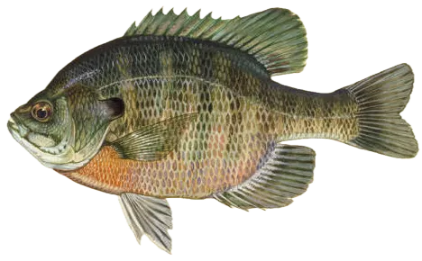
Bluegill
Bag limit15
The maximum number of individual fish legally harvested per harvester per day. Bag limits are only for properly licensed anglers actively harvesting the species. People who are not actively harvesting or are not properly licensed (if a license is required) may NOT be counted for the purpose of bag limits.
Aggregate limit15
The maximum number of individual fish across an aggregate group of species legally harvested per harvester per day.
Special gear
NE Regs
HOOK-AND-LINE REGULATIONS Hook-and-line fishing is allowed year-round throughout the state, except as noted or as posted at an area. Definition of a Hook – One hook means a single-, double- or treble-pointed hook. All hooks attached to an artificial bait or lure shall be counted as one hook. Ponds, Lakes or Reservoirs – Anglers are limited to no more than two lines, with a maximum of two hooks on each line, with these being any type of attached line (such as rod and reel or fishing pole) on all lakes, ponds or reservoirs or in their inlets, outlets and canals within one-half mile of these bodies of water, with the exception of ice-fishing line limits. This includes Lewis and Clark Lake from Gavins Point Dam upstream to the Santee boat ramp in Knox County. Ice-Fishing – A total of five lines with two hooks on each line are permitted. Each line must be under direct supervision and within unaided observation of the angler. Holes made for ice-fishing may not exceed 10 inches in diameter on any area controlled or managed by Game and Parks, including U.S. Fish and Wildlife Service refuges. A special $5 permit is required for a permanent shelter on state recreation areas and wildlife management area lakes. Applications and regulations are available from conservation officers or Game and Parks offices. This does not apply to temporary shelters used and removed each day. Rivers or Streams – A total of 15 hooks are allowed, ranging from 15 lines each with a single hook attached, to three lines with a maximum of five hooks attached. These hook-and-line limits apply to anglers who must be one- half mile from any lake, pond or reservoir that is associated with that river or stream. These can be rods and reels, poles, bank lines, limb lines or setlines that are attached to a fixed object in a river, stream or canal and not free- floating. Jug lines are illegal and are defined as a free-floating line that contains fishing hooks entirely supported by flotation. All bank lines, limb lines and setlines must contain the angler's name, address and fishing-permit number or driver's license number. Bank lines, limb lines and setlines must be checked every 24 hours. Removal of Bank Lines, Limb Lines and Setlines – Upon completion of fishing, all bank lines, limb lines and setlines must be removed. Within the boundaries of the Missouri National Recreational River, limb lines and setlines are prohibited within 200 feet of public boat landings or swimming areas.
Restrictions & requirements
Culling
Culling and high-grading are not allowed. Any fish that is not to be counted in the daily bag limit must be returned immediately to the water with as little injury as possible. Any fish placed on a stringer or in a container, or not returned to the water must be counted in the bag.
NE Snagging
Snagging of paddlefish and nongame fish is permitted only in the Missouri River under season dates and limits specified in the Paddlefish snagging section. All other state waters are closed to snagging for all species at all times. All fish snagged accidentally or otherwise foul-hooked, must be returned to the water immediately.
Additional information
Edibility
Synonyms


Free trial available