South San Diego BayImperial Beach PierOneonta SloughNorth San Diego BayJ Street MarinaSweetwater ChannelGlorietta BayPoint LomaCoronado Ferry LandingMission Bay

Coronado islands
Fishing spots, fishing reports, and regulations in
4.6·1762 catches
1,762
Logged catches
4.6
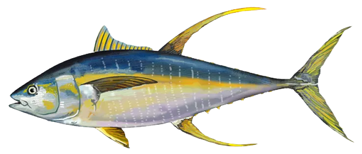
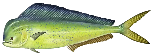
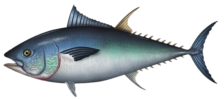
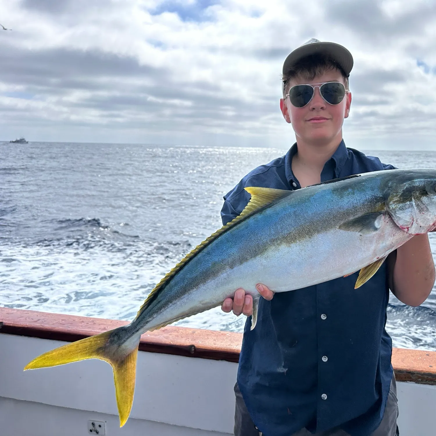
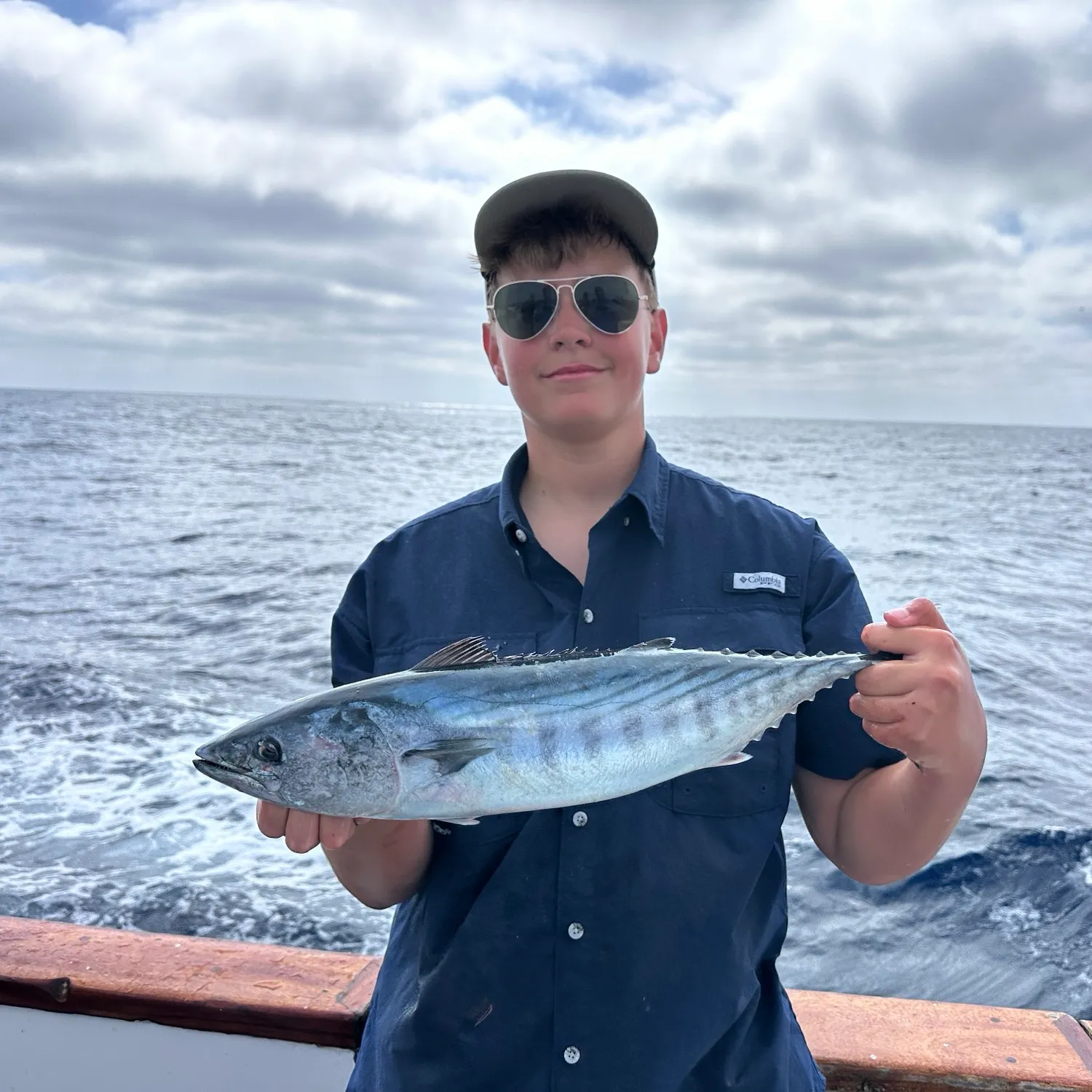
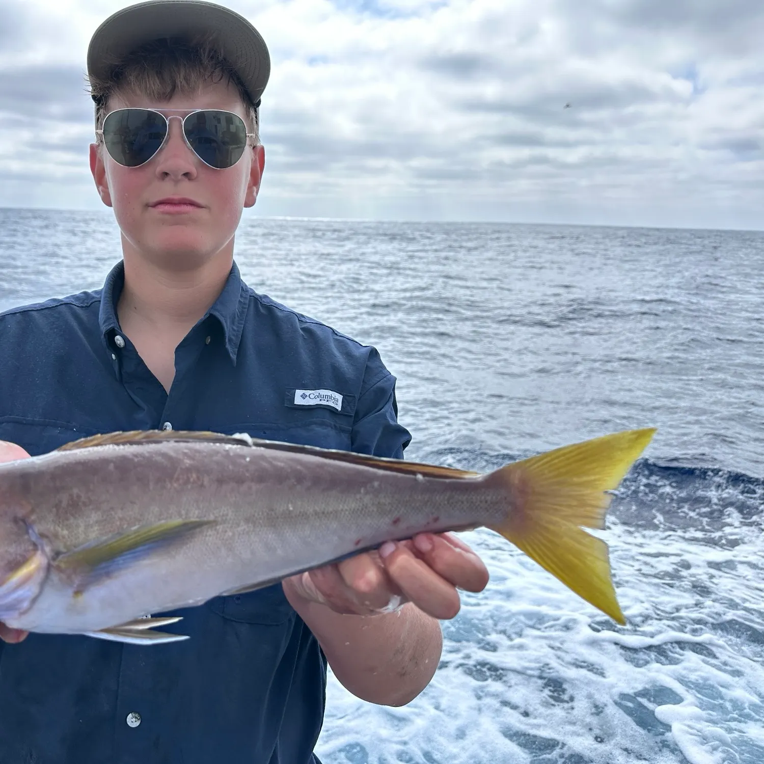
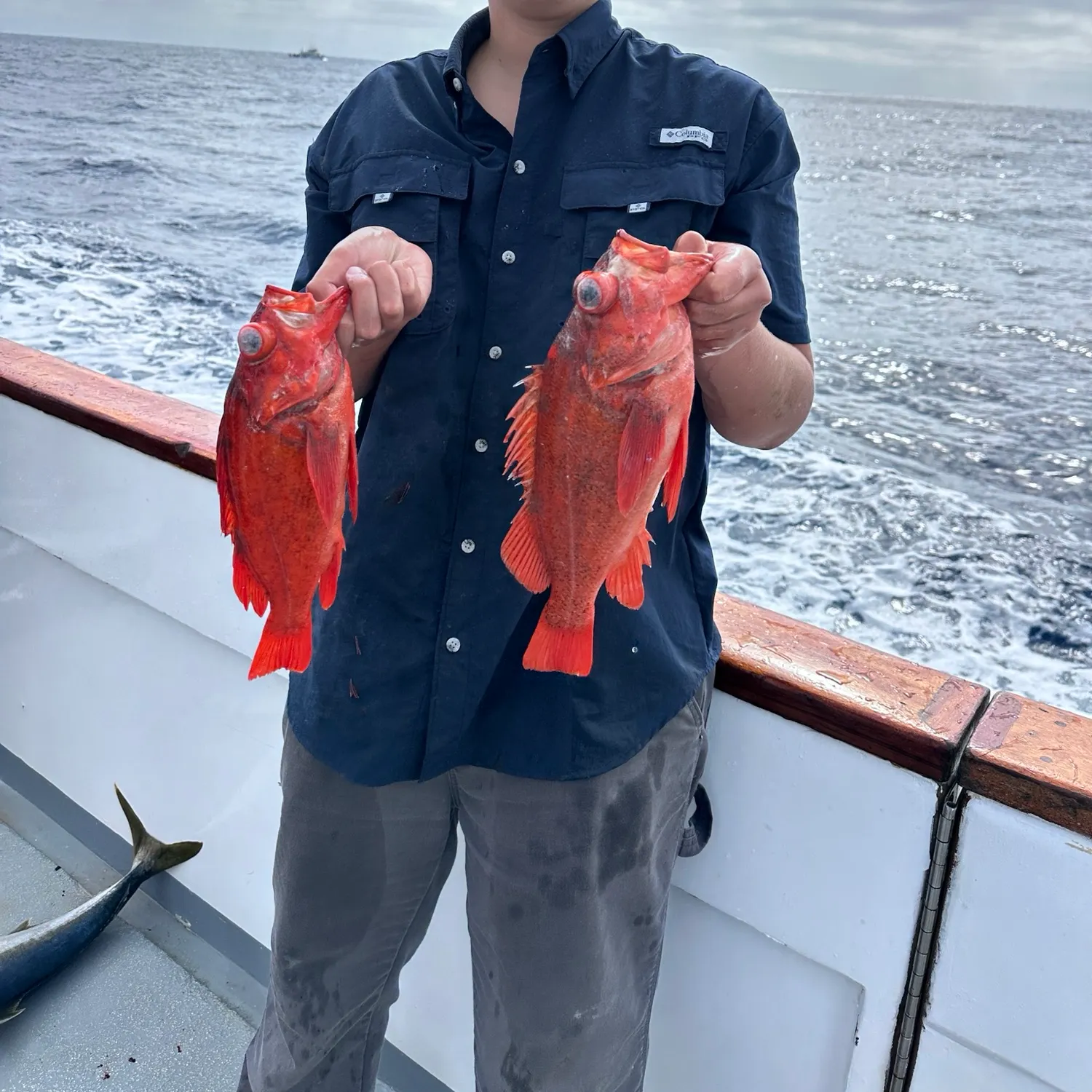
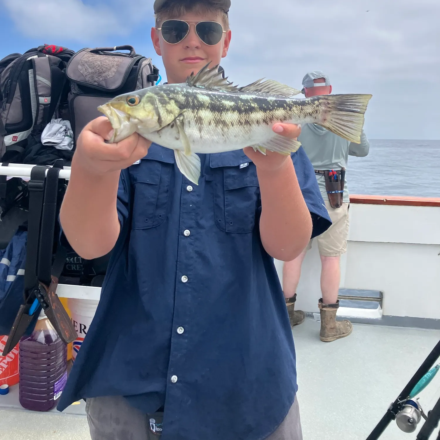
Top fish species at Coronado islands
See all species in the Fishbrain app

Check which species have trophy potential in Coronado islands
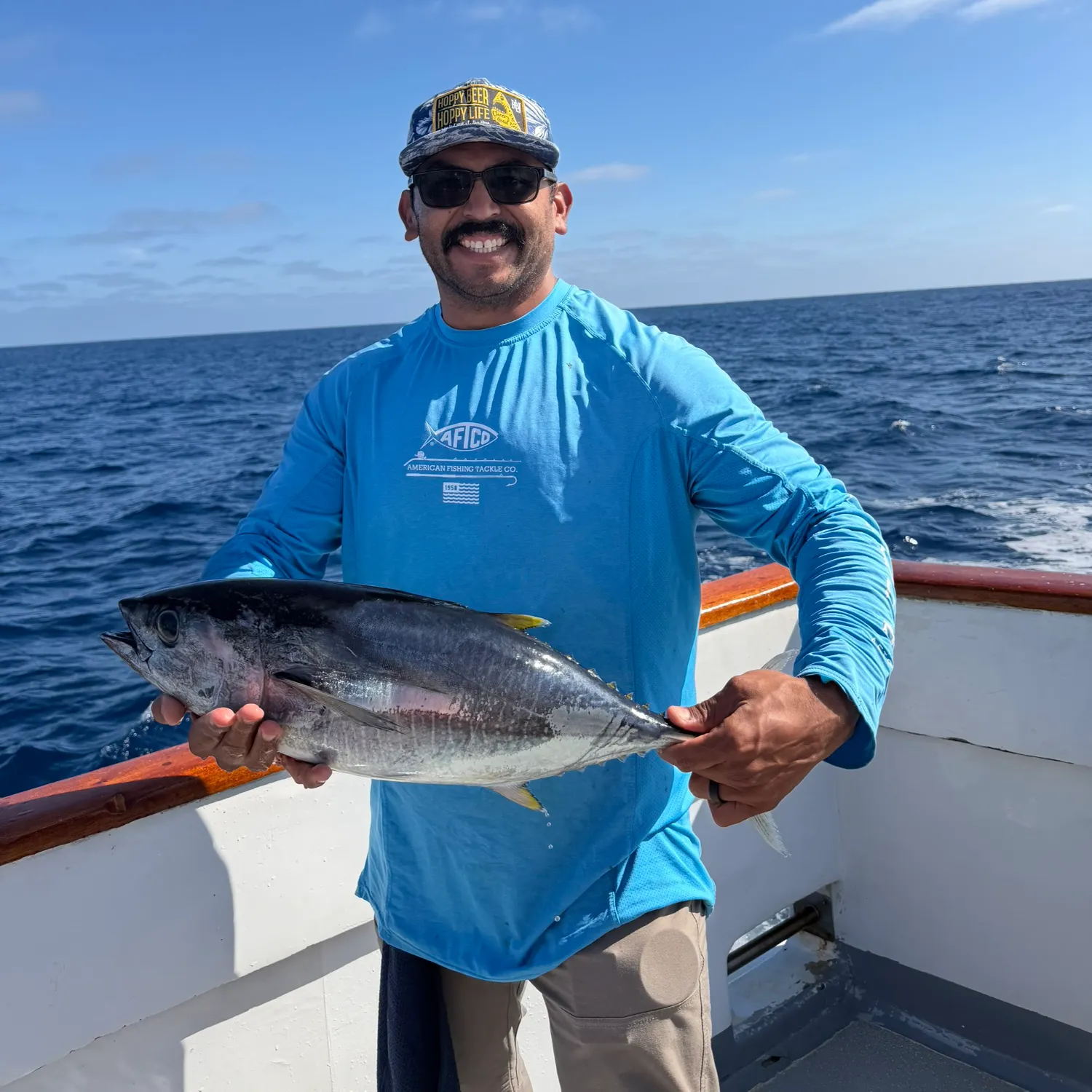
Coronado islands fishing reports

More catches in the app...
Continue browsing catches and catch locations in the Fishbrain app

Download Fishbrain and fish smarter
Unlimited access to the best fishing spot finder in the game. Get all the fishing intel you need to start catching more, and bigger, fish.
Free trial available