
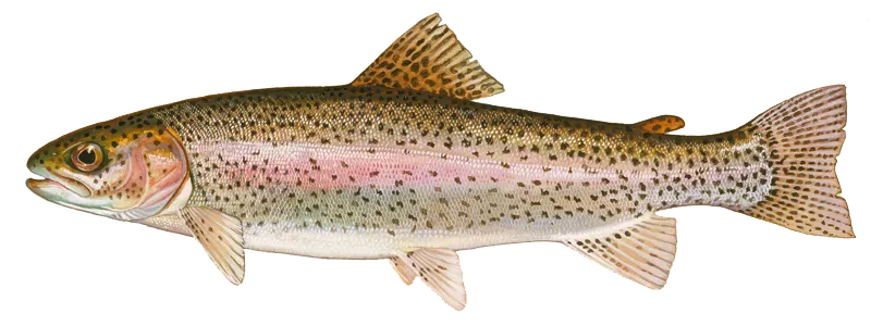
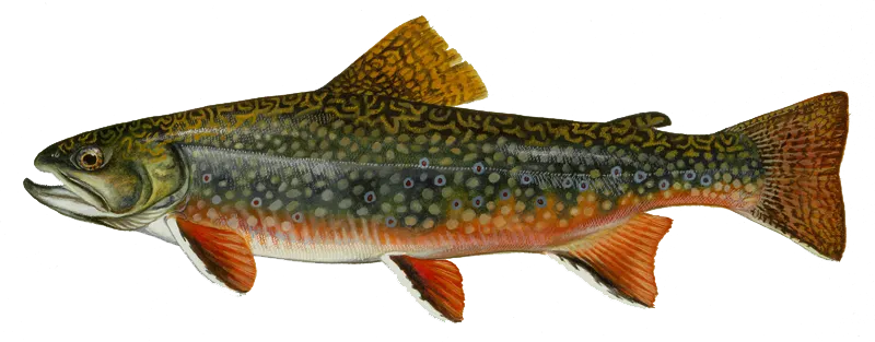
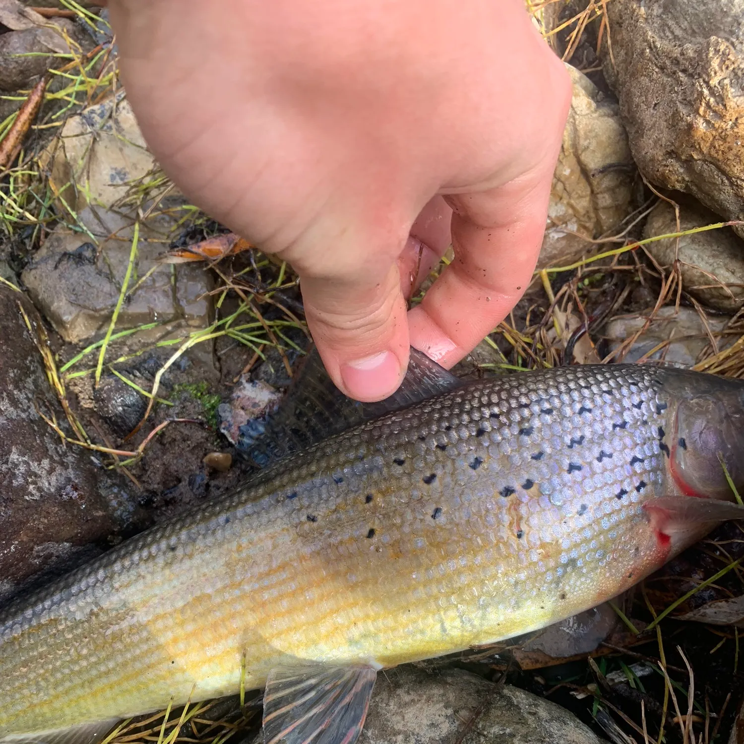
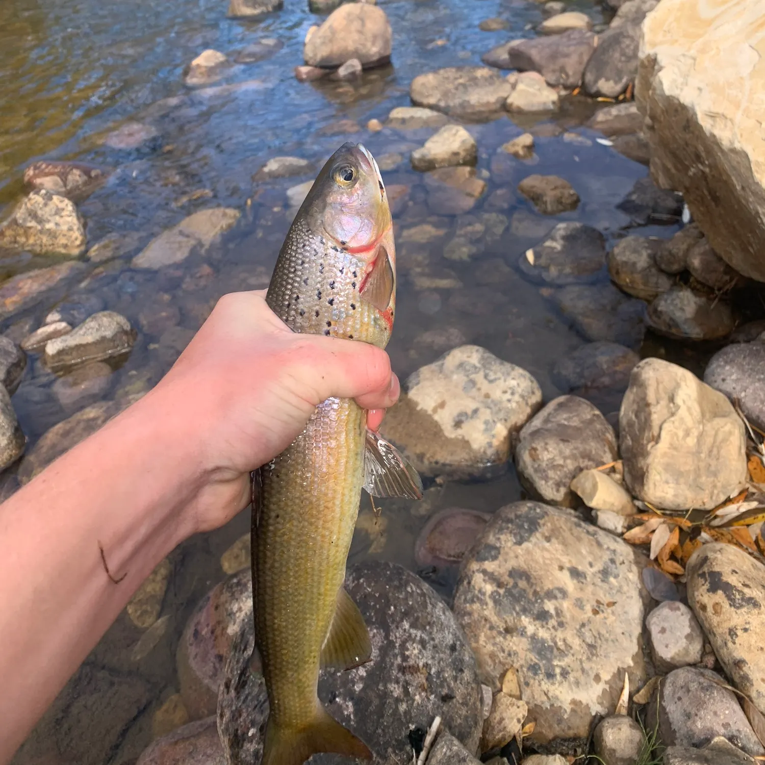
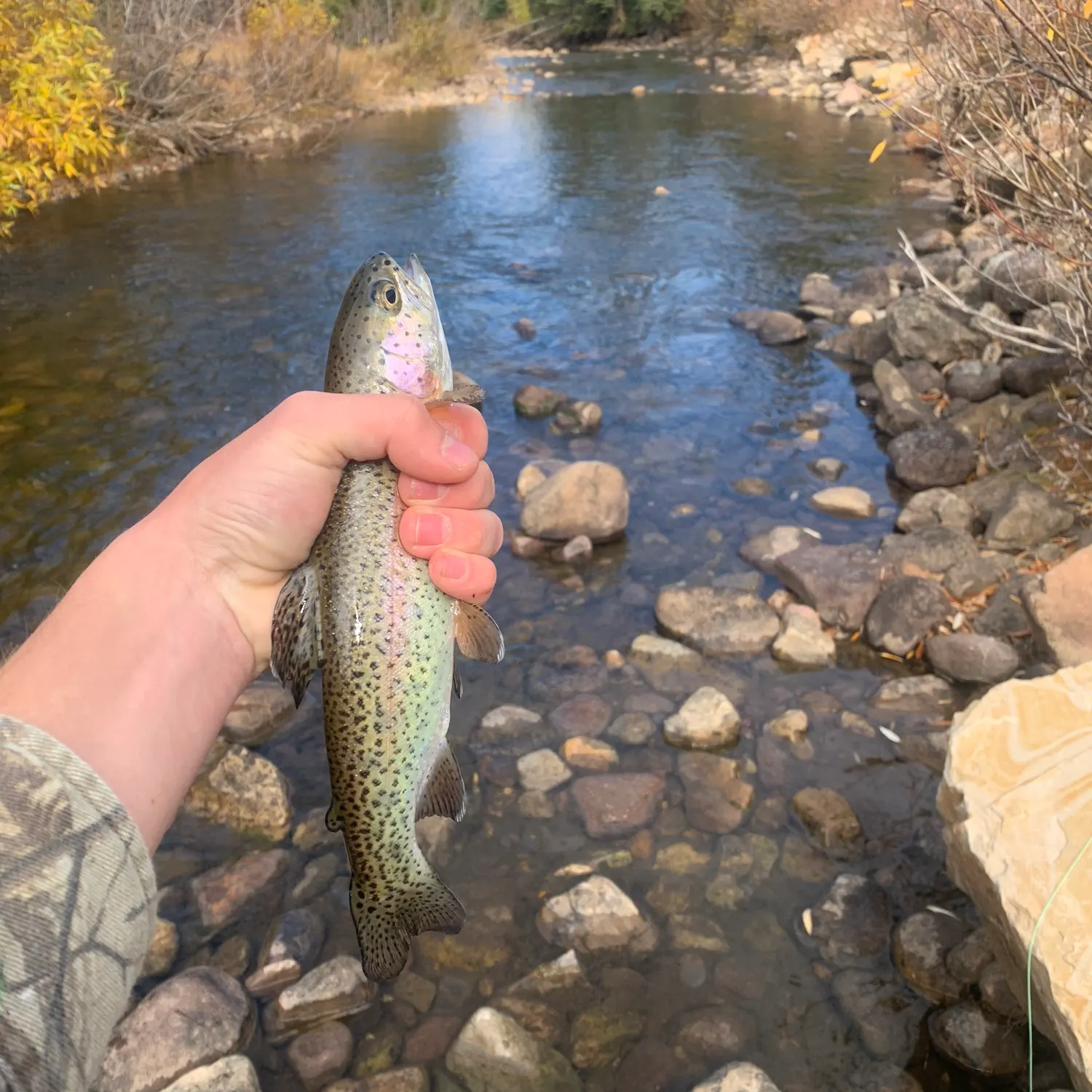
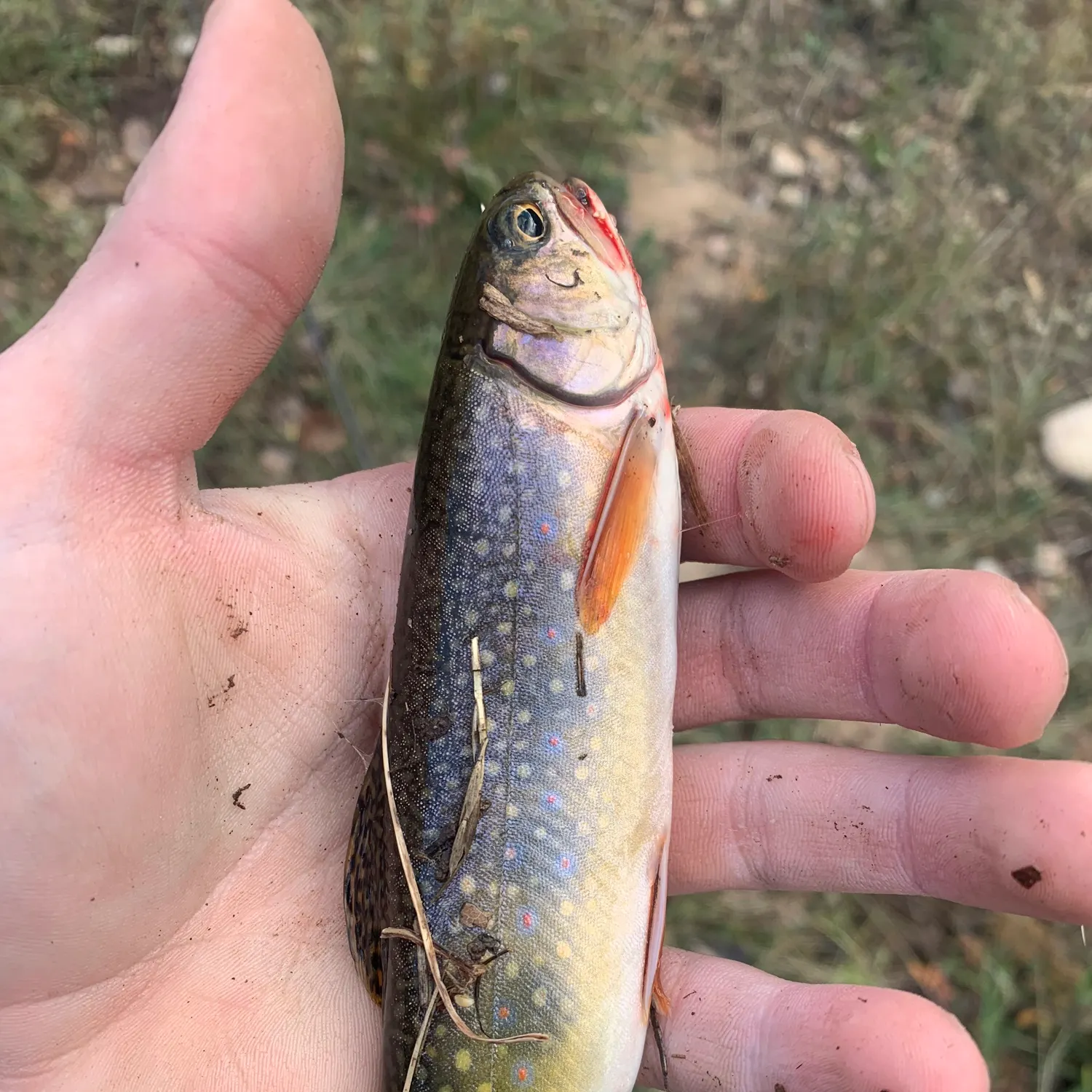
Top fish species at Dry Fork

Check which species have trophy potential in Dry Fork
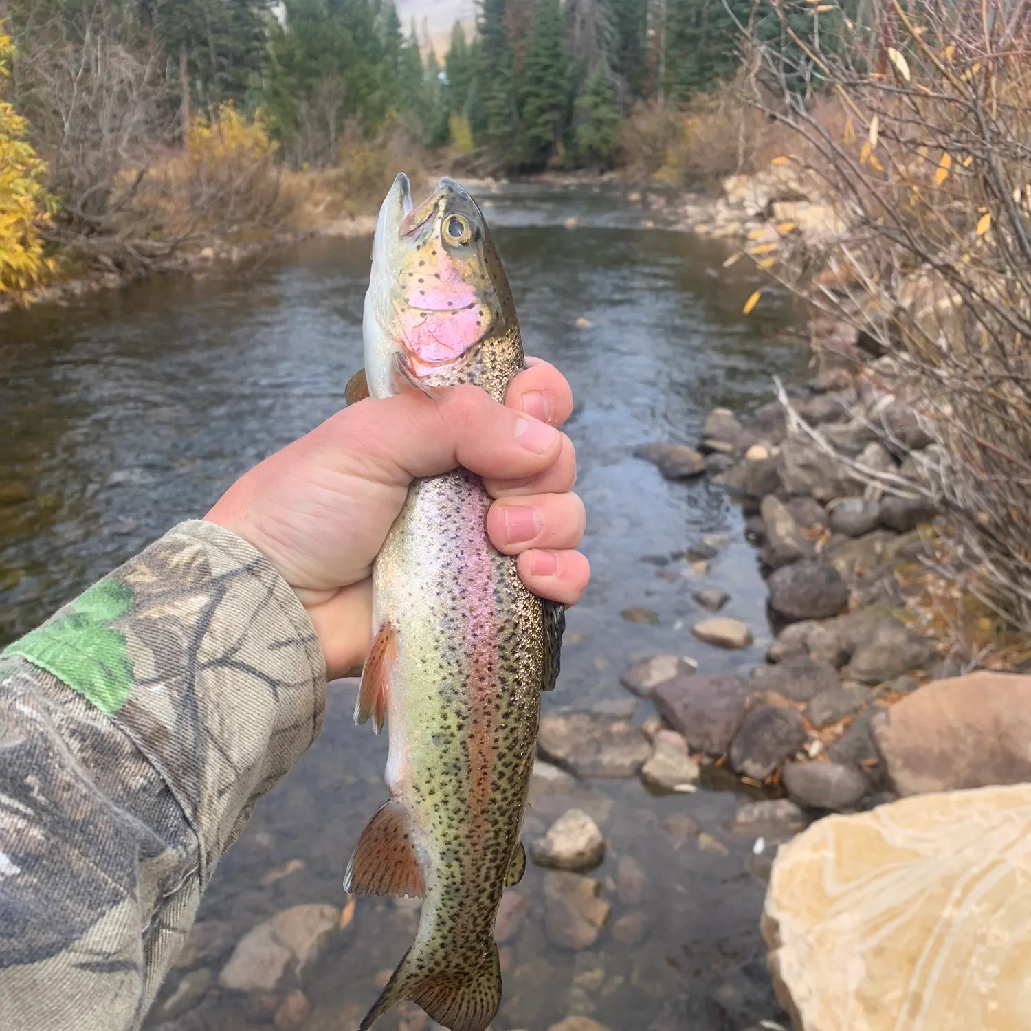
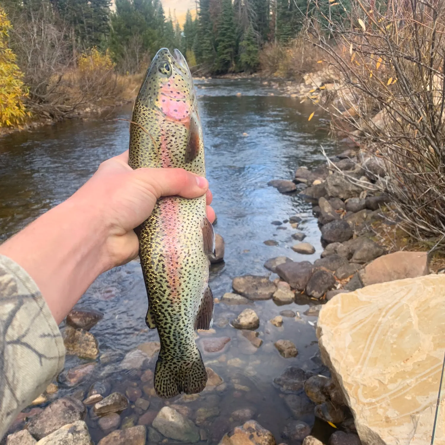
Dry Fork fishing reports
length · weight

Continue browsing catches and catch locations in the Fishbrain app
Fishing regulations at Dry Fork, UT
Disclaimer: Always check local fishing regulations, water access rights and land ownership before fishing, regardless of any catches logged in that area by the Fishbrain community. Fishbrain has mapped millions of acres of government-owned land across the USA to help you identify potential fishing access, but you are responsible for ensuring compliance with all legal requirements.
Fishing regulations in Utah can change throughout the year. Make sure to check this page before fishing for the most up to date rules and regulations for the current season. Local regulations govern when you can fish, the max size of the fish you can keep, how many fish you can keep, and more.
Regulations for top species
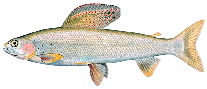
Arctic grayling
Bag limit4
The maximum number of individual fish legally harvested per harvester per day. Bag limits are only for properly licensed anglers actively harvesting the species. People who are not actively harvesting or are not properly licensed (if a license is required) may NOT be counted for the purpose of bag limits.
Aggregate limit4
The maximum number of individual fish across an aggregate group of species legally harvested per harvester per day.
Restrictions & requirements
Gigging
Harvest by gigging prohibited.
Snagging
Harvest of this species by snagging (snatch hooking) is prohibited.
Spears
Harvest of this species by "spearing" is prohibited. Spearing includes the catching or taking of a fish by bow hunting, gigging, spearfishing, or by any device used to capture a fish by piercing the body.
Additional information
Edibility
Synonyms


Free trial available