
Top fish species at Ivy Bend

Check which species have trophy potential in Ivy Bend
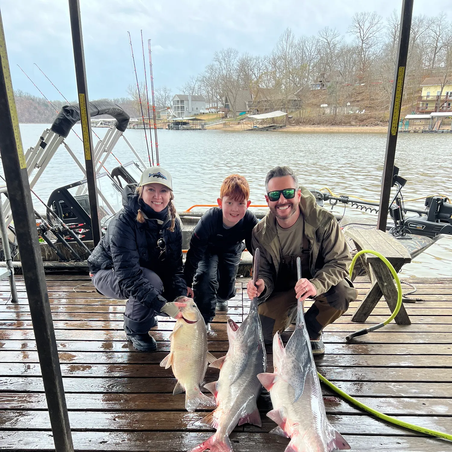
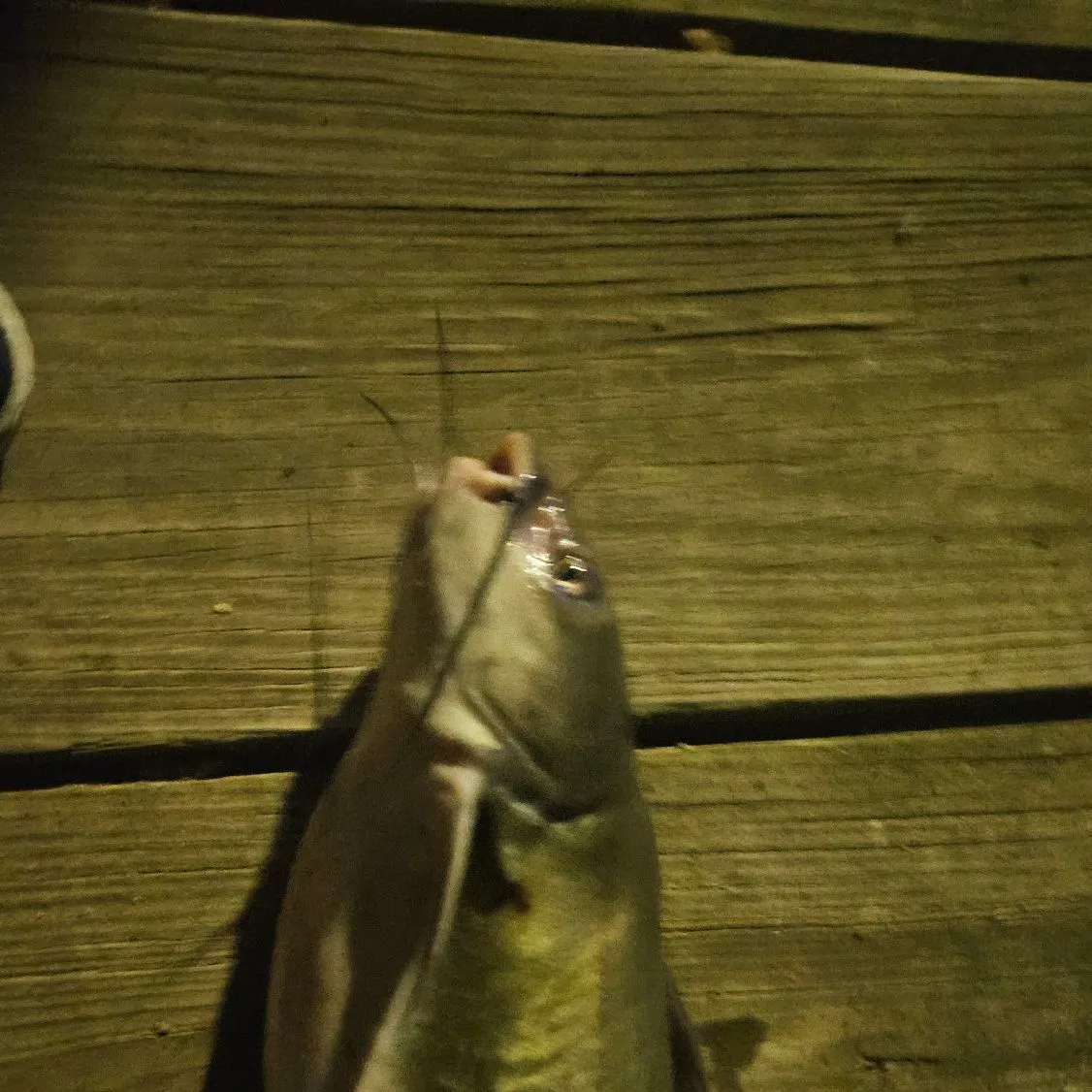
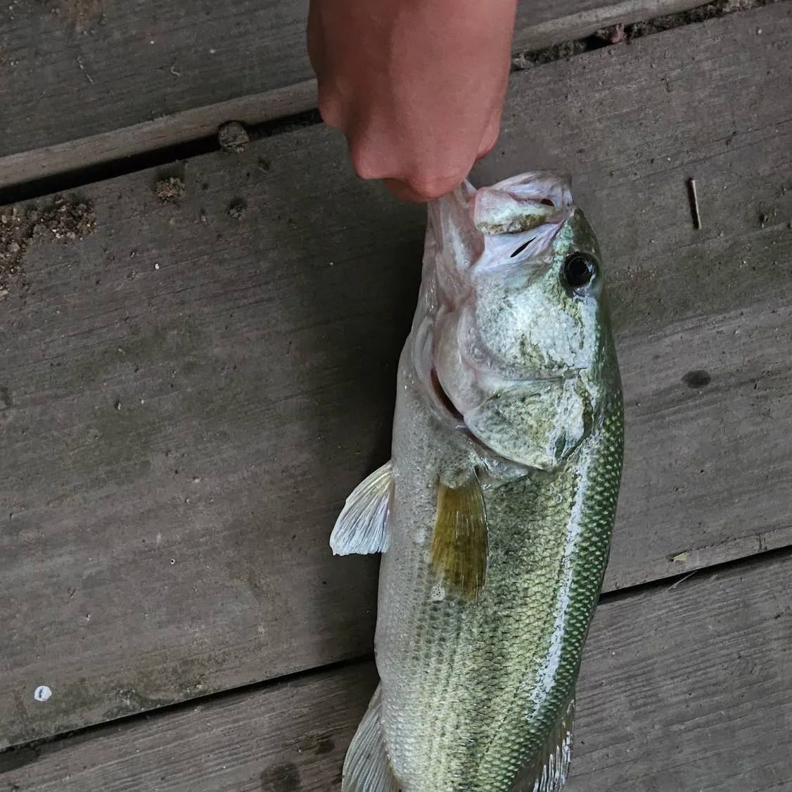
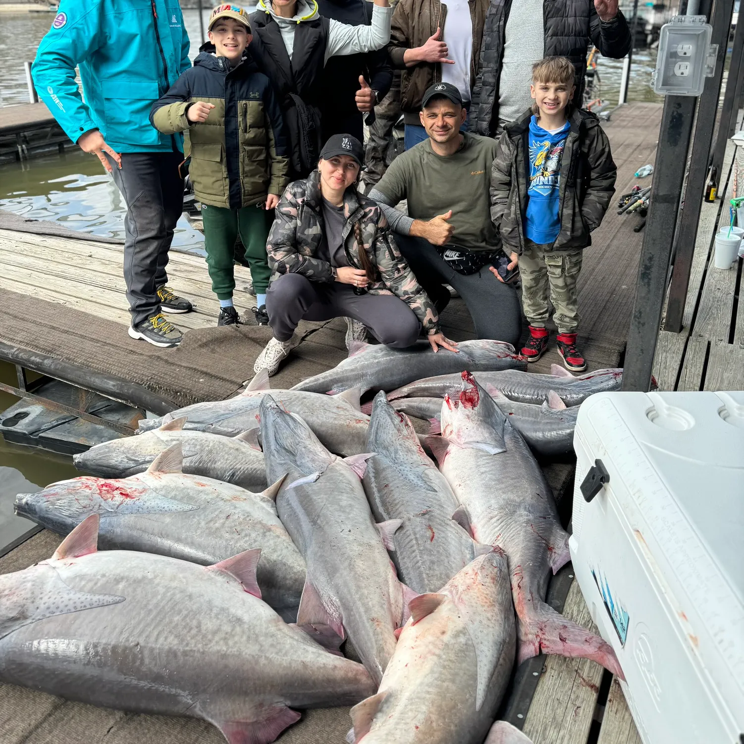
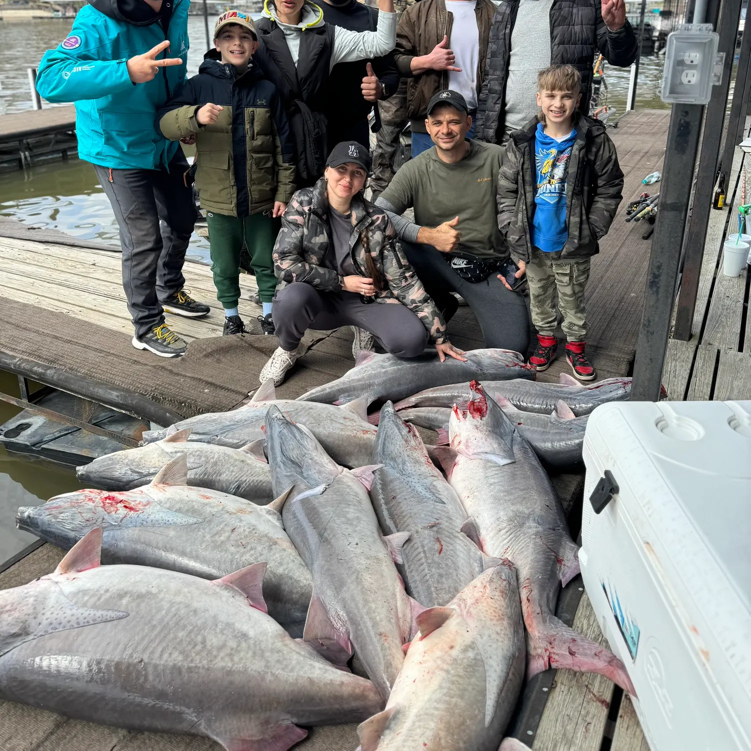
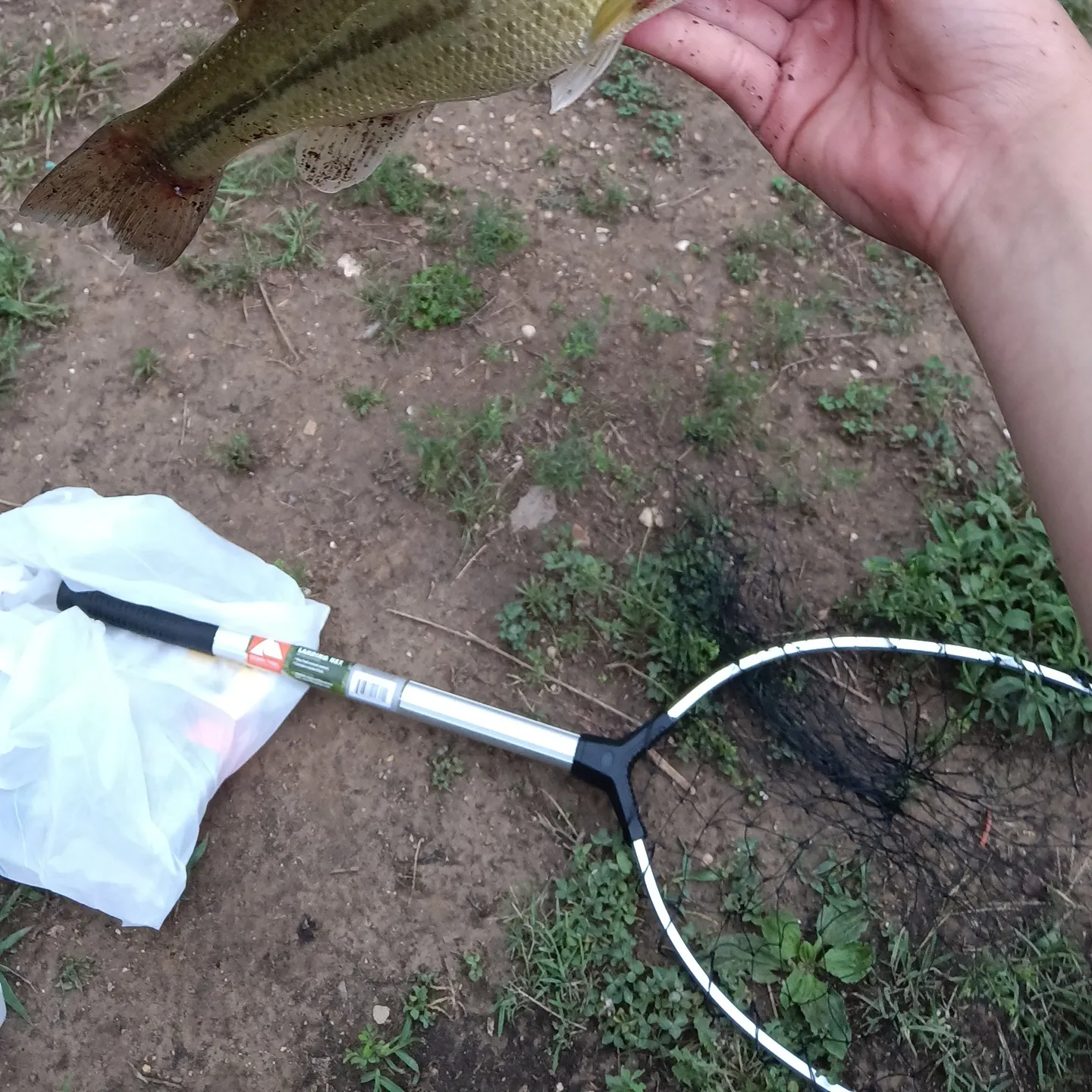
Ivy Bend fishing reports

Continue browsing catches and catch locations in the Fishbrain app
When are Largemouth Bass biting on Ivy Bend?
Learn what time of year and day to go fishing at Ivy Bend. Download Fishbrain today to look for new fishing spots, scout new fishing access, or prep for your next trip.

Fishing regulations at Ivy Bend, MO
Disclaimer: Always check local fishing regulations, water access rights and land ownership before fishing, regardless of any catches logged in that area by the Fishbrain community. Fishbrain has mapped millions of acres of government-owned land across the USA to help you identify potential fishing access, but you are responsible for ensuring compliance with all legal requirements.
Fishing regulations in Missouri can change throughout the year. Make sure to check this page before fishing for the most up to date rules and regulations for the current season. Local regulations govern when you can fish, the max size of the fish you can keep, how many fish you can keep, and more.
Regulations for top species
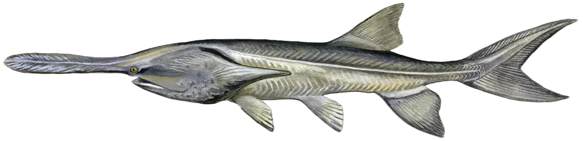
Paddlefish
Bag limit2
The maximum number of individual fish legally harvested per harvester per day. Bag limits are only for properly licensed anglers actively harvesting the species. People who are not actively harvesting or are not properly licensed (if a license is required) may NOT be counted for the purpose of bag limits.
Min size32" (Front of eye to fork of tail)
No person shall harvest any individual fish less than the minimum size limit.
Paddlefish are measured from the front of the eye to the fork of the tail.
Restrictions & requirements
Gigging
Harvest by gigging prohibited.
Snagging
Harvest of this species by snagging (snatch hooking) is prohibited.
Spears
Harvest of this species by "spearing" is prohibited. Spearing includes the catching or taking of a fish by bow hunting, gigging, spearfishing, or by any device used to capture a fish by piercing the body.
MO Explosives Chemicals Poison Electricity
No one may use any explosive, poison, chemical or electrical equipment to kill or stupefy fish. Such material or equipment may not be possessed on waters of the state or adjacent banks.
MO Hand Fishing
It also is illegal to attempt to take fish by hand, with or without a hook, and to intentionally leave or abandon any commonly edible portion of any fish.
MO Spearguns
Spearguns may not be possessed on unimpounded waters or adjacent banks, and spears may not be propelled by explosives.
Additional information
Edibility
Synonyms

Largemouth bass
Bag limit6
The maximum number of individual fish legally harvested per harvester per day. Bag limits are only for properly licensed anglers actively harvesting the species. People who are not actively harvesting or are not properly licensed (if a license is required) may NOT be counted for the purpose of bag limits.
Min size12" (Total Length)
No person shall harvest any individual fish less than the minimum size limit.
Total length means the straight line distance from the most forward point of the head with the mouth closed, to the farthest tip of the tail with the tail compressed or squeezed, while the fish is lying on its side.
Aggregate limit6
The maximum number of individual fish across an aggregate group of species legally harvested per harvester per day.
Restrictions & requirements
Gigging
Harvest by gigging prohibited.
Snagging
Harvest of this species by snagging (snatch hooking) is prohibited.
Spears
Harvest of this species by "spearing" is prohibited. Spearing includes the catching or taking of a fish by bow hunting, gigging, spearfishing, or by any device used to capture a fish by piercing the body.
MO Explosives Chemicals Poison Electricity
No one may use any explosive, poison, chemical or electrical equipment to kill or stupefy fish. Such material or equipment may not be possessed on waters of the state or adjacent banks.
MO Hand Fishing
It also is illegal to attempt to take fish by hand, with or without a hook, and to intentionally leave or abandon any commonly edible portion of any fish.
MO Spearguns
Spearguns may not be possessed on unimpounded waters or adjacent banks, and spears may not be propelled by explosives.
Additional information
Edibility
Synonyms
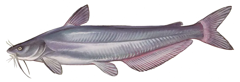
Blue catfish
Bag limit5
The maximum number of individual fish legally harvested per harvester per day. Bag limits are only for properly licensed anglers actively harvesting the species. People who are not actively harvesting or are not properly licensed (if a license is required) may NOT be counted for the purpose of bag limits.
Restrictions & requirements
Gigging
Harvest by gigging prohibited.
Snagging
Harvest of this species by snagging (snatch hooking) is prohibited.
Spears
Harvest of this species by "spearing" is prohibited. Spearing includes the catching or taking of a fish by bow hunting, gigging, spearfishing, or by any device used to capture a fish by piercing the body.
MO Explosives Chemicals Poison Electricity
No one may use any explosive, poison, chemical or electrical equipment to kill or stupefy fish. Such material or equipment may not be possessed on waters of the state or adjacent banks.
MO Hand Fishing
It also is illegal to attempt to take fish by hand, with or without a hook, and to intentionally leave or abandon any commonly edible portion of any fish.
MO Spearguns
Spearguns may not be possessed on unimpounded waters or adjacent banks, and spears may not be propelled by explosives.
Additional information
Edibility
Synonyms


Free trial available