
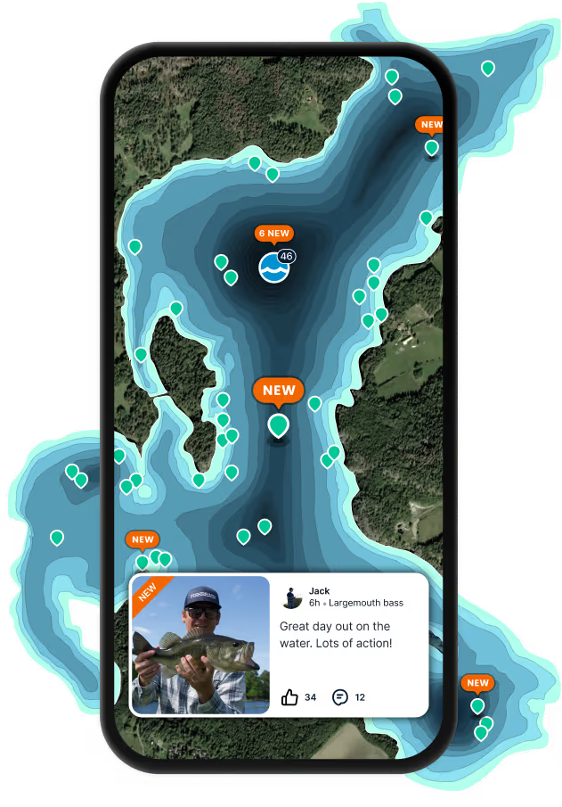
Logged catches
Top fish species at Columbia River
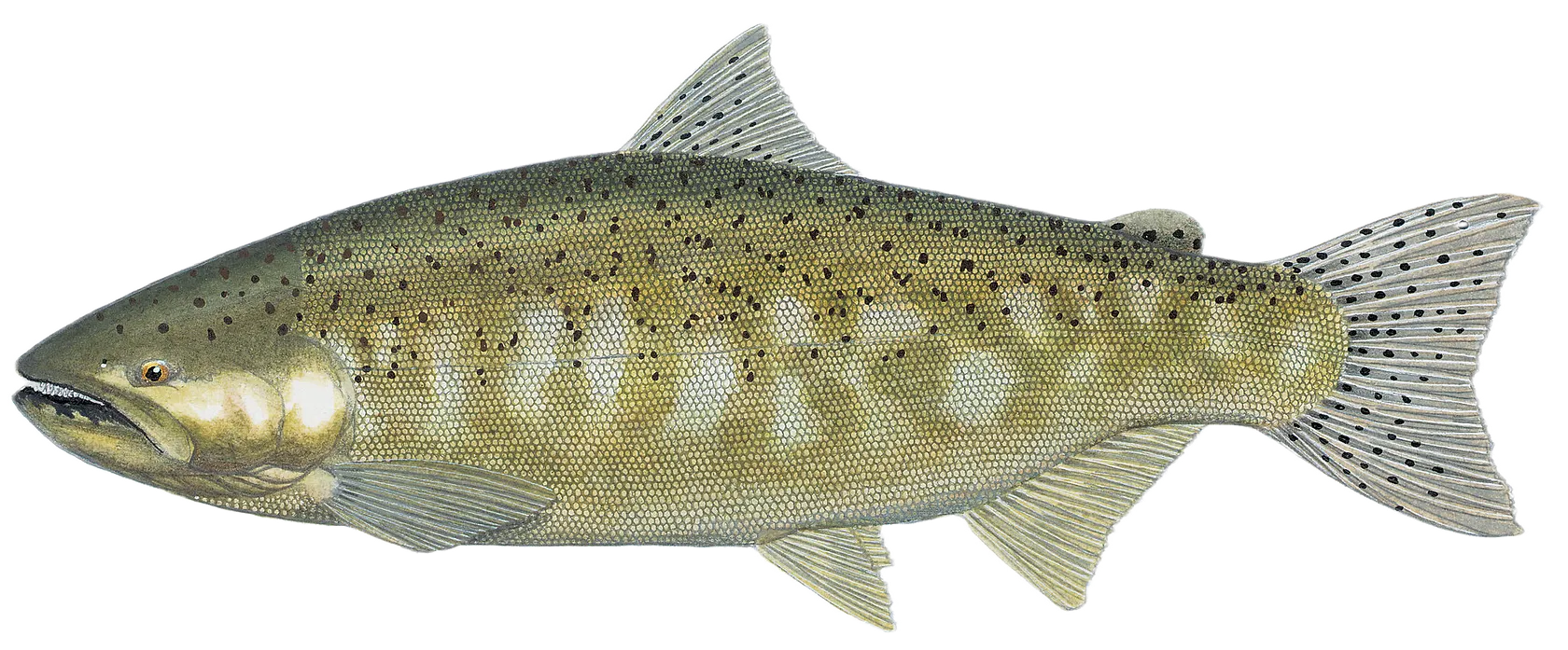


Check which species have trophy potential in Columbia River
Columbia River fishing reports

Continue browsing catches and catch locations in the Fishbrain app
Fishing regulations at Columbia River, OR
Disclaimer: Always check local fishing regulations, water access rights and land ownership before fishing, regardless of any catches logged in that area by the Fishbrain community. Fishbrain has mapped millions of acres of government-owned land across the USA to help you identify potential fishing access, but you are responsible for ensuring compliance with all legal requirements.
Fishing regulations in Oregon can change throughout the year. Make sure to check this page before fishing for the most up to date rules and regulations for the current season. Local regulations govern when you can fish, the max size of the fish you can keep, how many fish you can keep, and more.
Below you will see fishing regulations for catching Chinook salmon as of April 1st, 2026. To view regulations for a different fish species, please click on your preferred species in the drop-down.
Seasons
Bag limit
Min size
Measurement
Aggregate
Exceptions to Columbia River Zone Regulations
Columbia River
Buoy 10 line up to a line projected from Rocky Point on the Washington bank through Red Buoy 44 to the navigation light at Tongue Point on the Oregon bank
- Open for hatchery steelhead Jan 1 - Mar 31 and Aug 1 - Dec 31.
- Open for hatchery Chinook salmon Jan1 - Mar 31.
- Open for adult Chinook salmon Aug 1 - Aug 31.
- Open for adult hatchery coho salmon Aug1 - Dec 31. Minimum length for adult coho is 16 inches.
- Retention of jack salmon allowed Oct 1 - Dec 31.
- The Columbia River South Jetty is open to salmon angling seven days a week when the fall Buoy 10 or adjacent ocean salmon fishery is open.
- Closed to angling within the Youngs Bay Control Zone Aug 1 - Sep 15. See map on pg 78.
- In the waters of the Pacific Ocean and the Columbia River up to a line projected from Rocky Point on the Washington bank through Red Buoy 44 to the navigation light at Tongue Point on the Oregon bank, each angler aboard a vessel may continue to use angling gear until the daily limit of fish for all legally licensed and juvenile anglers aboard has been achieved. However, no individual angler may exceed any personal daily bag limit.
A line projected from Rocky Point on the Washington bank through Red Buoy 44 to the navigation light at Tongue Point on the Oregon bank up to I-5 bridge
- Open for hatchery cutthroat trout Jan 1 - Mar 31 and May 22 - Dec 31.
- Open for hatchery Chinook salmon and hatchery steelhead Jan 1 - Mar 31.
- Open for hatchery jack Chinook and hatchery steelhead May 16 - Jul 31.
- Open for hatchery adult Chinook Jun 16-30.
- Open for hatchery coho and hatchery steelhead Aug 1 - Dec 31.
- Open for Chinook Aug 1-31.
- Angling from the Big Creek RR trestle is prohibited Aug. 16-Oct. 15.
I-5 bridge to Bonneville Dam
- Open for hatchery steelhead Jan 1 - Mar 31 and Jun 16 - Dec 31.
- Open for hatchery jack Chinook Jun 16 - Jul31.
- Open for adult hatchery Chinook Jun 16- Jun 30.
- Open for hatchery coho Aug 1 - Dec. 31.
- Open for Chinook Aug 1 - Aug 31.
- Closed:
- »Between markers 150 ft above and 450 ft below the mouth of Tanner Cr out to center of the Columbia River Aug 16 - Oct 15; »Inside the south navigation lock at Bonneville Dam from a marker on the western-most point of Robins Island to a marker on the Oregon mainland shore;
- »Angling is prohibited for all species during Jan 1 - Apr 30 from a line between the upstream end of Sand Island (near Rooster Rock) and a marker on the Oregon shoreline, downstream to a line between the lower end of Sand Island and a marker on the Oregon shoreline.
- Bank angling prohibited:
- »From Bradford Island below Bonneville Dam from south shore between the dam and a line perpendicular to the shoreline marker at west end of riprap and from north shore between fishway entrance and a line perpendicular to the shoreline marker 850 ft downstream;
- »From Robins Island below Bonneville Dam downstream to a line perpendicular to the shoreline marker on mooring cell.
- Angling from a floating device or using a floating device to set lines is prohibited in the area between Bonneville Dam and a line crossing the river below the dam marked by the boat-restricted zone sign on the Oregon shore at the westernmost tip of Robins Island to the boat-restricted zone sign approx. 50 ft above the Hamilton Island boat ramp on the Washington shore (USACE Boat Restricted Zone).
- Sturgeon angling is prohibited May 1 - Aug 31 from Bonneville Dam downstream approx. 9 mi to a line crossing the Columbia River from Navigation Marker 82 on the Oregon shore westerly to a boundary markeron the Washington shore above Fir Point.
- Salmon angling from a floating device is prohibited from Beacon Rock to BonnevilleDam Nov 1 - Dec 31.
Bonneville Dam to Oregon/Washington border above McNary Dam
- Open for hatchery steelhead Jan 1 - Mar 31 and Jun 16 - Dec 31.
- Open for hatchery Chinook salmon Jun16 - Jul 31.
- Open for Chinook and coho salmon Aug 1 -Dec 31. Only hatchery coho salmon may be retained between Bonneville Dam and the Hood River Bridge at RM 169.
- When angling for salmon and steelhead, a single-point hook with a gap size no larger than 3/4-inch is required for all non-buoyant lures Aug 1 - Dec 31 except when trolling from a vessel or floating device.
- Only single-point hooks allowed when angling at Cascade Locks in the area between the boat ramp at the lower end of the locks upstream to the east (upstream) end of the lock wall.
- Sturgeon Regulations
- »Open for white sturgeon from Jan 1 - until quota is reached. »Bag limit is 1 per day, 2 per year.
- »Bonneville Dam to The Dalles Dam sturgeon must be between 38 inch minimum and 54 inch maximum forklength. »The Dalles Dam to McNary Dam sturgeon must be between 43 inch minimum, 54 inch maximum forklength.
- »Only catch-and-release allowed for sturgeon from McNary Dam to the Oregon/Washington border.
- »Catch-and-release for sturgeon is allowed after taking the daily or annual limit or the after quota is reached. Check myodfw.com for regulation updates.
- »Angling for sturgeon is prohibited from May 1 through August 31 in the following areas:
- –A line projected from the east (upstream) dock at the Port of The Dalles boat ramp straight across to a marker on the Washington bank upstream to The Dalles Dam.
- –A line projected from the west end of the grain silo at Rufus straight across to a marker on the Washington bank upstream to John Day Dam.
- –A line projected from the east end grain elevators at Patterson Ferry Road straight across to a marker on the Washington bank upstream to McNary Dam.
- Closed:
- »Bonneville Dam upstream to a line across the river 1,000 ft from the dam as indicated by USACE signs;
- »Interstate Hwy 197 bridge at The Dalles upstream to the upper line of The Dalles Dam, except bank angling is permitted above the Hwy bridge for 1,100 ft to the cyclone fence;
- »John Day Dam downstream approx. 3,000 ft except that bank angling is permitted up to 600 ft below the fishway entrance;
- »From a floating device in USACE designated hazard zones above and below McNary Dam.
Benson Lake (Multnomah Co.)
- Open all year.
- 5 hatchery trout per day, 8 inch minimum length.
Blind Slough/Knappa Slough Select Area
Including Gnat Cr from RR bridge up to Aldrich Pt Rd Bridge (Clatsop Co.) (see map on pg 79)
- Open all year for hatchery Chinook, hatchery coho and hatchery steelhead.
- Use of barbed hooks allowed.
Eagle Creek
Mouth to mainline railroad bridge
- Open for Chinook, hatchery coho salmon, and hatchery steelhead consistent with regulations for the Columbia River from Bonneville Dam to Oregon/Washington border.
- See Central Zone for area above mainline RR bridge.
Hartman Pond
- Open all year.
- 5 trout per day, 8 inch minimum length.
- 1 bass per day.
- 10 crappie per day.
- 2 channel catfish per day.
- No minimum length on warmwater fish.
Herman Creek
East of peninsula from the markers at the mouth to the mainline railroad bridge (see map on pg 77).
- Open for salmon and steelhead consistent with regulations for the Columbia River from Bonneville Dam to the OR/ WA border, except closed Aug 16 - Nov 30.
- See Central Zone for area above the mainline RR bridge.
Herman Cr Youth and Disabled Angler Angling Area - West of peninsula from the markers at the mouth to lower Herman Cr Pond structure (see map on pg 77).
- Open for salmon and steelhead consistent with regulations for the Columbia River from Bonneville Dam to the OR/WA border. Open to youth angling (ages 17 and under) and Oregon Disabilities Hunting and Fishing Permit holders only.
Herman Cr Lagoon- East of the line from Northwest tip of the jetty, south to marker on shore (See map on pg 77).
- Open for salmon and steelhead consistent with regulations for the Columbia River from Bonneville Dam to the OR/ WA border. An Oregon angling license and combined angling tag are required.
Multnomah Creek
Mouth to the mainline railroad bridge
- Open for Chinook salmon, hatchery coho salmon, and hatchery steelhead consistent with regulations for the Columbia River from I-5 bridge up to Bonneville Dam except closed Aug 16 - Nov 30.
- Open all year for trout from Benson Lake downstream to the culvert under Hwy 84.
- 5 hatchery trout per day, 8 inch minimum length.
- See Willamette Zone for areas above mainline RR bridge.
Plympton Creek
Mouth to mainline railroad bridge
- Open for Chinook salmon, hatchery coho salmon and hatchery steelhead consistent with regulations for the Columbia River from the Rocky Point-Tongue Point line up to I-5 bridge.
- See Northwest Zone for area above mainline RR bridge.
Tanner, Bridal Veil, Wahkeena, Horsetail and Oneonta Creeks
Mouth to the mainline railroad bridge
- Open for Chinook salmon, hatchery coho salmon, and hatchery steelhead consistent with regulations for the Columbia River from I-5 bridge up to Bonneville Dam except closed Aug 16 - Nov 30.
- See Willamette Zone for areas above mainline RR bridge.
Wahkeena Pond
- See Hartman Pond above.
Youngs Bay Select Area (Clatsop Co.)
Hwy 101 bridge to marker at confluence of Youngs Bay and Klaskanine R., including Walluski R. tidewater (see map on pg 78)
- Open all year for hatchery Chinook salmon hatchery coho salmon and hatchery steelhead.
- Use of barbed hooks allowed.
Season Closed in all waters unless noted by species under Exceptions.
Changes to salmon regulations for the Columbia River system are available online at myodfw.com. Check regulations before you fish.
In the aggregate:
2 adult salmon or steelhead per day, 20 per year. 5 jack salmon per day, 2 daily jack limits in possession.
See location exceptions in Columbia River Zone to determine where harvest of any Chinook or coho salmon is allowed. Harvest of wild steelhead is not permitted in the Columbia River Zone.
See location exceptions in Columbia River Zone to determine where harvest of any Chinook or coho salmon is allowed. Harvest of wild steelhead is not permitted in the Columbia River Zone.
The Columbia River Zone is Closed for sockeye and chum salmon.
Barbless hooks are required.
12 inch minimum size limit for jack salmon.
Additional Chinook seasons are determined on an annual basis. Visit myodfw.com for more information and regulation updates before you fish.
There is no annual limit on hatchery salmon or hatchery steelhead so long as the appropriate number of Hatchery Harvest Tags have been purchased to record the catch.
Angling restricted to artificial flies and lures in streams. See Exceptions where use of bait is allowed.
For more information please see Oregon General Statewide Regulations
Chinook, Oncorhynchus tshawytscha
Exceptions to Columbia River Zone Regulations
Columbia River
Buoy 10 line up to a line projected from Rocky Point on the Washington bank through Red Buoy 44 to the navigation light at Tongue Point on the Oregon bank
- Open for hatchery steelhead Jan 1 - Mar 31 and Aug 1 - Dec 31.
- Open for hatchery Chinook salmon Jan1 - Mar 31.
- Open for adult Chinook salmon Aug 1 - Aug 31.
- Open for adult hatchery coho salmon Aug1 - Dec 31. Minimum length for adult coho is 16 inches.
- Retention of jack salmon allowed Oct 1 - Dec 31.
- The Columbia River South Jetty is open to salmon angling seven days a week when the fall Buoy 10 or adjacent ocean salmon fishery is open.
- Closed to angling within the Youngs Bay Control Zone Aug 1 - Sep 15. See map on pg 78.
- In the waters of the Pacific Ocean and the Columbia River up to a line projected from Rocky Point on the Washington bank through Red Buoy 44 to the navigation light at Tongue Point on the Oregon bank, each angler aboard a vessel may continue to use angling gear until the daily limit of fish for all legally licensed and juvenile anglers aboard has been achieved. However, no individual angler may exceed any personal daily bag limit.
A line projected from Rocky Point on the Washington bank through Red Buoy 44 to the navigation light at Tongue Point on the Oregon bank up to I-5 bridge
- Open for hatchery cutthroat trout Jan 1 - Mar 31 and May 22 - Dec 31.
- Open for hatchery Chinook salmon and hatchery steelhead Jan 1 - Mar 31.
- Open for hatchery jack Chinook and hatchery steelhead May 16 - Jul 31.
- Open for hatchery adult Chinook Jun 16-30.
- Open for hatchery coho and hatchery steelhead Aug 1 - Dec 31.
- Open for Chinook Aug 1-31.
- Angling from the Big Creek RR trestle is prohibited Aug. 16-Oct. 15.
I-5 bridge to Bonneville Dam
- Open for hatchery steelhead Jan 1 - Mar 31 and Jun 16 - Dec 31.
- Open for hatchery jack Chinook Jun 16 - Jul31.
- Open for adult hatchery Chinook Jun 16- Jun 30.
- Open for hatchery coho Aug 1 - Dec. 31.
- Open for Chinook Aug 1 - Aug 31.
- Closed:
- »Between markers 150 ft above and 450 ft below the mouth of Tanner Cr out to center of the Columbia River Aug 16 - Oct 15; »Inside the south navigation lock at Bonneville Dam from a marker on the western-most point of Robins Island to a marker on the Oregon mainland shore;
- »Angling is prohibited for all species during Jan 1 - Apr 30 from a line between the upstream end of Sand Island (near Rooster Rock) and a marker on the Oregon shoreline, downstream to a line between the lower end of Sand Island and a marker on the Oregon shoreline.
- Bank angling prohibited:
- »From Bradford Island below Bonneville Dam from south shore between the dam and a line perpendicular to the shoreline marker at west end of riprap and from north shore between fishway entrance and a line perpendicular to the shoreline marker 850 ft downstream;
- »From Robins Island below Bonneville Dam downstream to a line perpendicular to the shoreline marker on mooring cell.
- Angling from a floating device or using a floating device to set lines is prohibited in the area between Bonneville Dam and a line crossing the river below the dam marked by the boat-restricted zone sign on the Oregon shore at the westernmost tip of Robins Island to the boat-restricted zone sign approx. 50 ft above the Hamilton Island boat ramp on the Washington shore (USACE Boat Restricted Zone).
- Sturgeon angling is prohibited May 1 - Aug 31 from Bonneville Dam downstream approx. 9 mi to a line crossing the Columbia River from Navigation Marker 82 on the Oregon shore westerly to a boundary markeron the Washington shore above Fir Point.
- Salmon angling from a floating device is prohibited from Beacon Rock to BonnevilleDam Nov 1 - Dec 31.
Bonneville Dam to Oregon/Washington border above McNary Dam
- Open for hatchery steelhead Jan 1 - Mar 31 and Jun 16 - Dec 31.
- Open for hatchery Chinook salmon Jun16 - Jul 31.
- Open for Chinook and coho salmon Aug 1 -Dec 31. Only hatchery coho salmon may be retained between Bonneville Dam and the Hood River Bridge at RM 169.
- When angling for salmon and steelhead, a single-point hook with a gap size no larger than 3/4-inch is required for all non-buoyant lures Aug 1 - Dec 31 except when trolling from a vessel or floating device.
- Only single-point hooks allowed when angling at Cascade Locks in the area between the boat ramp at the lower end of the locks upstream to the east (upstream) end of the lock wall.
- Sturgeon Regulations
- »Open for white sturgeon from Jan 1 - until quota is reached. »Bag limit is 1 per day, 2 per year.
- »Bonneville Dam to The Dalles Dam sturgeon must be between 38 inch minimum and 54 inch maximum forklength. »The Dalles Dam to McNary Dam sturgeon must be between 43 inch minimum, 54 inch maximum forklength.
- »Only catch-and-release allowed for sturgeon from McNary Dam to the Oregon/Washington border.
- »Catch-and-release for sturgeon is allowed after taking the daily or annual limit or the after quota is reached. Check myodfw.com for regulation updates.
- »Angling for sturgeon is prohibited from May 1 through August 31 in the following areas:
- –A line projected from the east (upstream) dock at the Port of The Dalles boat ramp straight across to a marker on the Washington bank upstream to The Dalles Dam.
- –A line projected from the west end of the grain silo at Rufus straight across to a marker on the Washington bank upstream to John Day Dam.
- –A line projected from the east end grain elevators at Patterson Ferry Road straight across to a marker on the Washington bank upstream to McNary Dam.
- Closed:
- »Bonneville Dam upstream to a line across the river 1,000 ft from the dam as indicated by USACE signs;
- »Interstate Hwy 197 bridge at The Dalles upstream to the upper line of The Dalles Dam, except bank angling is permitted above the Hwy bridge for 1,100 ft to the cyclone fence;
- »John Day Dam downstream approx. 3,000 ft except that bank angling is permitted up to 600 ft below the fishway entrance;
- »From a floating device in USACE designated hazard zones above and below McNary Dam.
Benson Lake (Multnomah Co.)
- Open all year.
- 5 hatchery trout per day, 8 inch minimum length.
Blind Slough/Knappa Slough Select Area
Including Gnat Cr from RR bridge up to Aldrich Pt Rd Bridge (Clatsop Co.) (see map on pg 79)
- Open all year for hatchery Chinook, hatchery coho and hatchery steelhead.
- Use of barbed hooks allowed.
Eagle Creek
Mouth to mainline railroad bridge
- Open for Chinook, hatchery coho salmon, and hatchery steelhead consistent with regulations for the Columbia River from Bonneville Dam to Oregon/Washington border.
- See Central Zone for area above mainline RR bridge.
Hartman Pond
- Open all year.
- 5 trout per day, 8 inch minimum length.
- 1 bass per day.
- 10 crappie per day.
- 2 channel catfish per day.
- No minimum length on warmwater fish.
Herman Creek
East of peninsula from the markers at the mouth to the mainline railroad bridge (see map on pg 77).
- Open for salmon and steelhead consistent with regulations for the Columbia River from Bonneville Dam to the OR/ WA border, except closed Aug 16 - Nov 30.
- See Central Zone for area above the mainline RR bridge.
Herman Cr Youth and Disabled Angler Angling Area - West of peninsula from the markers at the mouth to lower Herman Cr Pond structure (see map on pg 77).
- Open for salmon and steelhead consistent with regulations for the Columbia River from Bonneville Dam to the OR/WA border. Open to youth angling (ages 17 and under) and Oregon Disabilities Hunting and Fishing Permit holders only.
Herman Cr Lagoon- East of the line from Northwest tip of the jetty, south to marker on shore (See map on pg 77).
- Open for salmon and steelhead consistent with regulations for the Columbia River from Bonneville Dam to the OR/ WA border. An Oregon angling license and combined angling tag are required.
Multnomah Creek
Mouth to the mainline railroad bridge
- Open for Chinook salmon, hatchery coho salmon, and hatchery steelhead consistent with regulations for the Columbia River from I-5 bridge up to Bonneville Dam except closed Aug 16 - Nov 30.
- Open all year for trout from Benson Lake downstream to the culvert under Hwy 84.
- 5 hatchery trout per day, 8 inch minimum length.
- See Willamette Zone for areas above mainline RR bridge.
Plympton Creek
Mouth to mainline railroad bridge
- Open for Chinook salmon, hatchery coho salmon and hatchery steelhead consistent with regulations for the Columbia River from the Rocky Point-Tongue Point line up to I-5 bridge.
- See Northwest Zone for area above mainline RR bridge.
Tanner, Bridal Veil, Wahkeena, Horsetail and Oneonta Creeks
Mouth to the mainline railroad bridge
- Open for Chinook salmon, hatchery coho salmon, and hatchery steelhead consistent with regulations for the Columbia River from I-5 bridge up to Bonneville Dam except closed Aug 16 - Nov 30.
- See Willamette Zone for areas above mainline RR bridge.
Wahkeena Pond
- See Hartman Pond above.
Youngs Bay Select Area (Clatsop Co.)
Hwy 101 bridge to marker at confluence of Youngs Bay and Klaskanine R., including Walluski R. tidewater (see map on pg 78)
- Open all year for hatchery Chinook salmon hatchery coho salmon and hatchery steelhead.
- Use of barbed hooks allowed.
Regulations for

FAQ about Columbia River fishing
- Chinook salmon - 482 members reported to have caught this fish
- Smallmouth bass - 314 members reported to have caught this fish
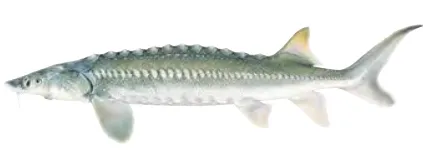
- White sturgeon - 171 members reported to have caught this fish
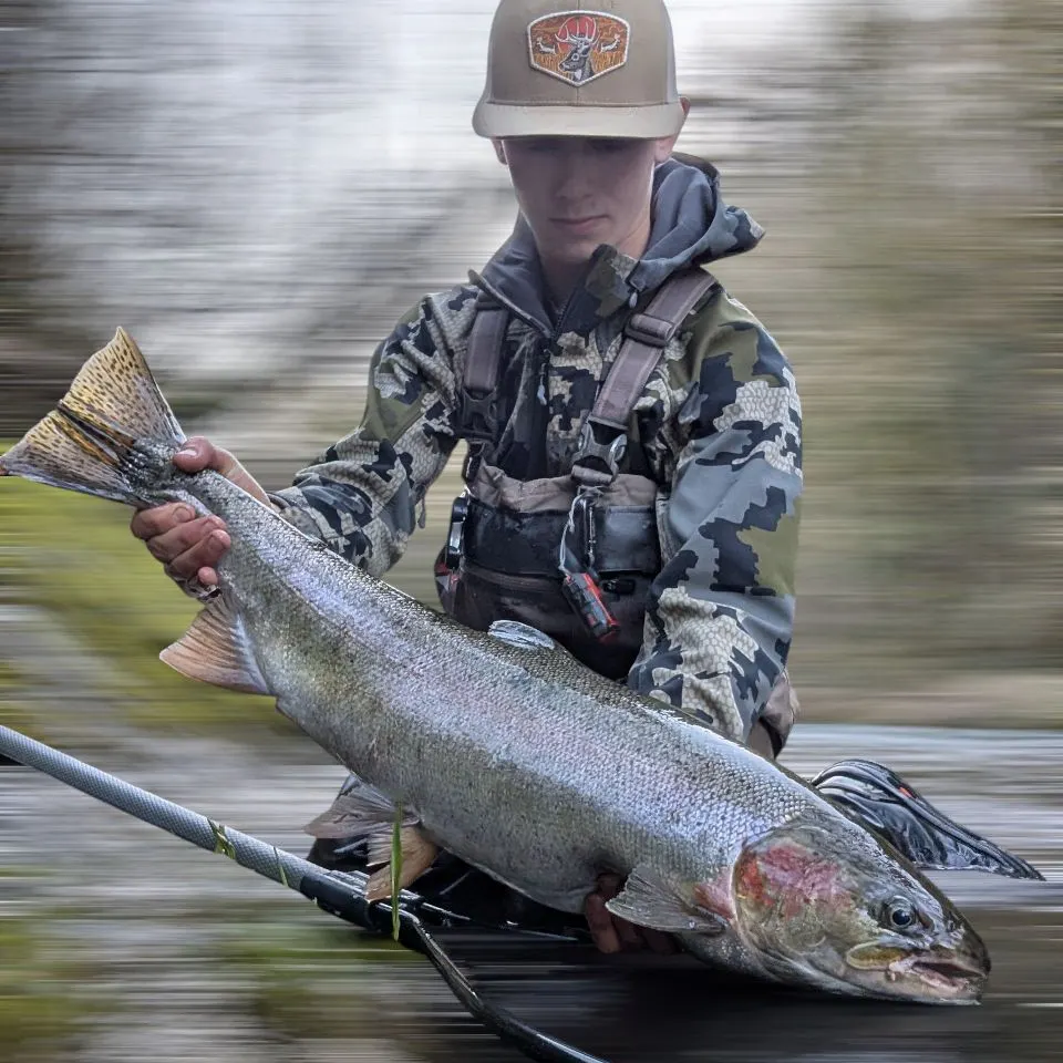
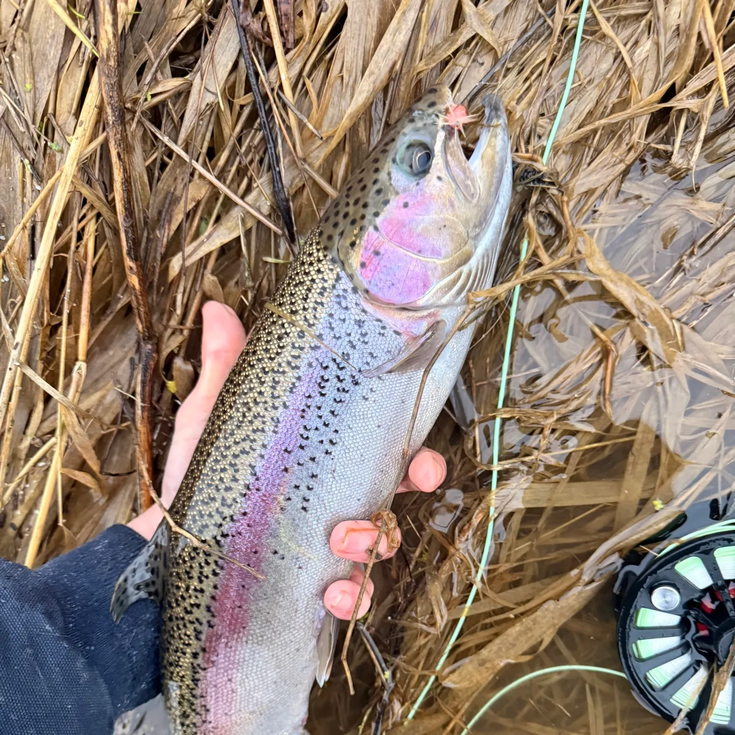
- @Adam_fishing02 reported a nice Steelhead.
- @Adam_fishing02 reported a nice Steelhead.
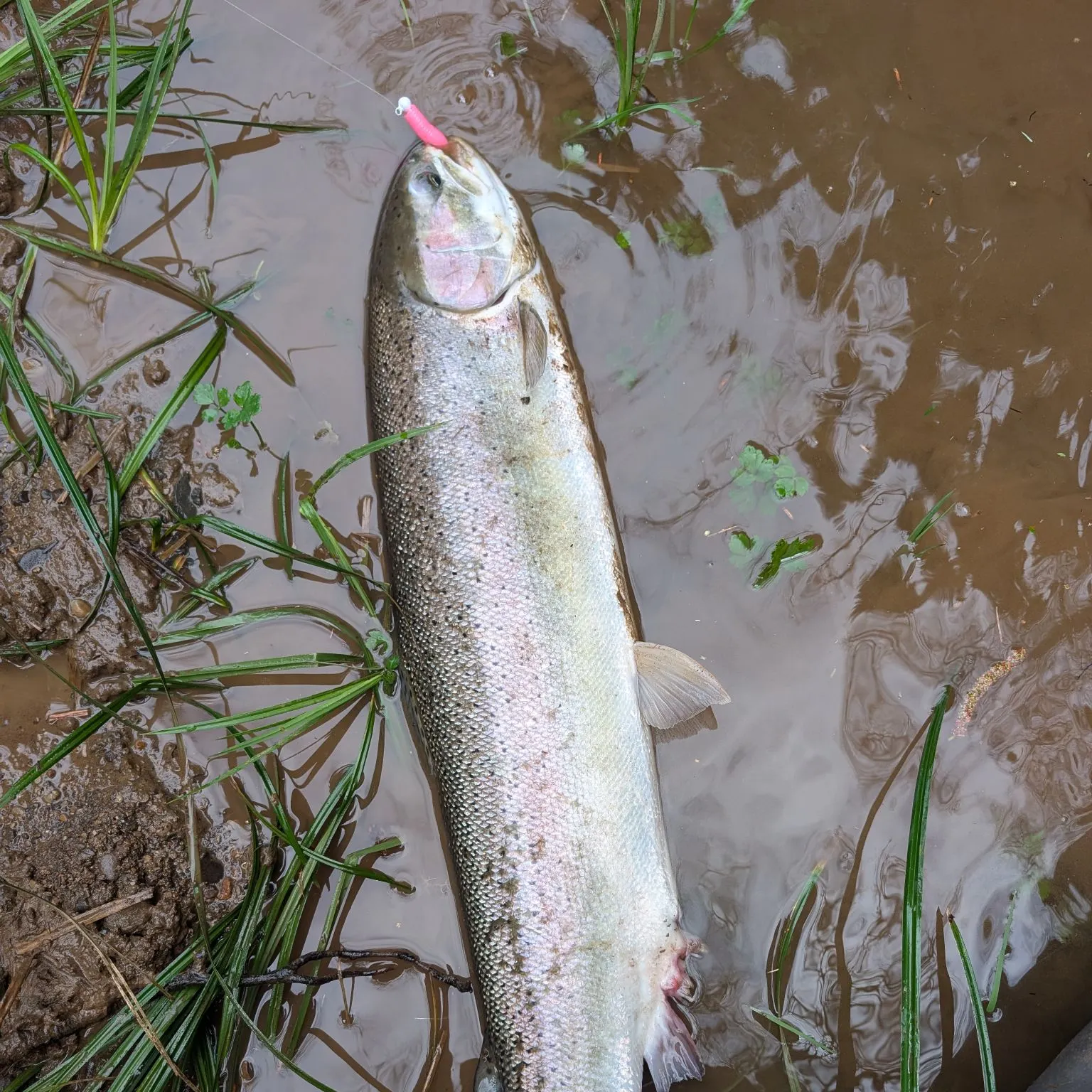
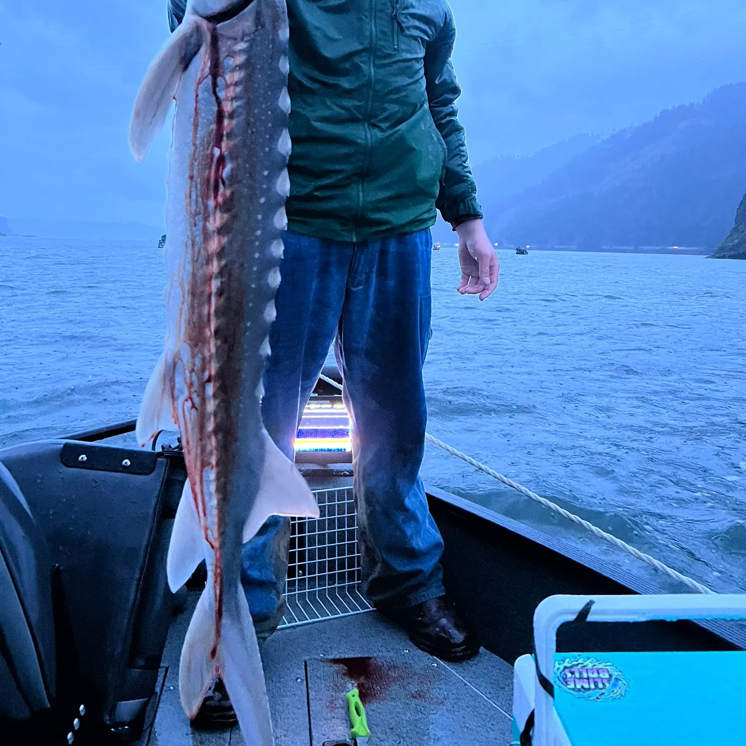
- @1MoreKastKrew reported a nice White sturgeon.
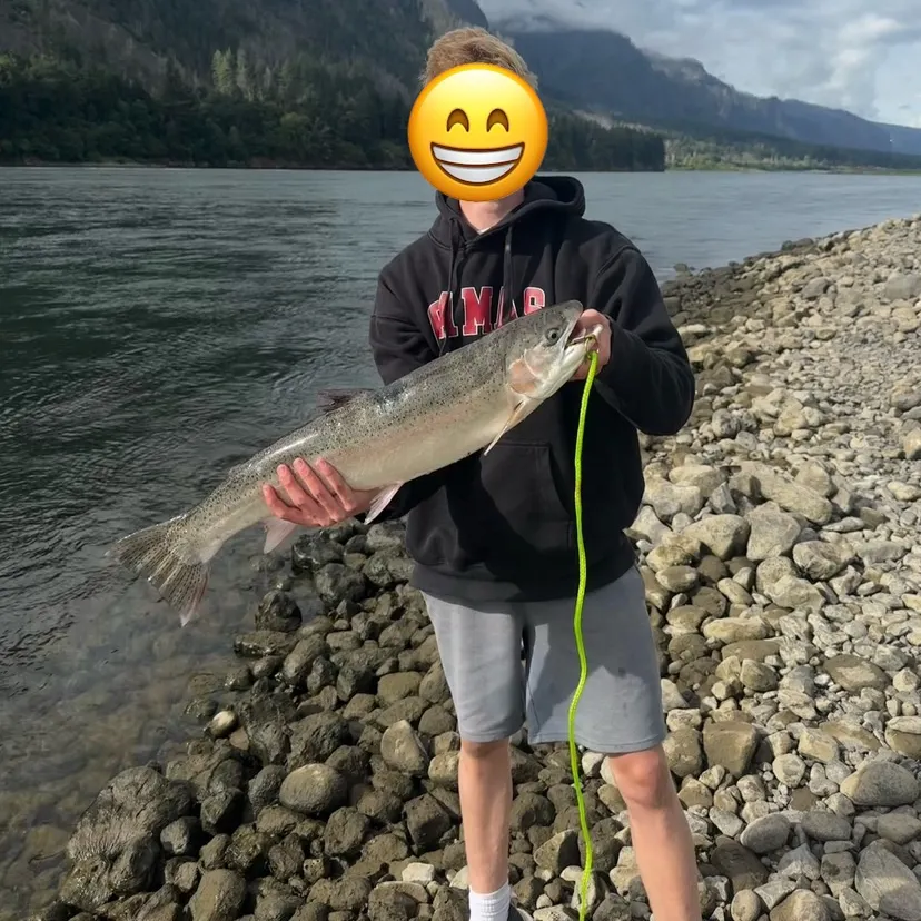
- @alexbermuda reported a nice Steelhead.
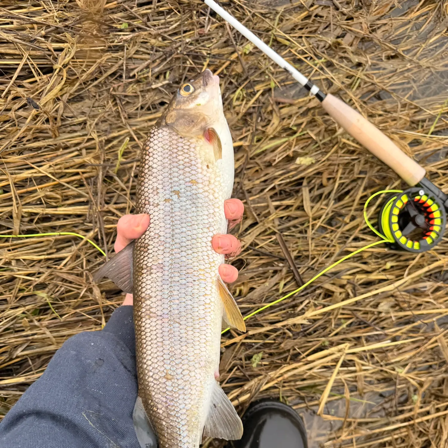
- @ButlerFishez reported a nice Steelhead.
Free trial available