
Top fish species at Chance Lake

Check which species have trophy potential in Chance Lake
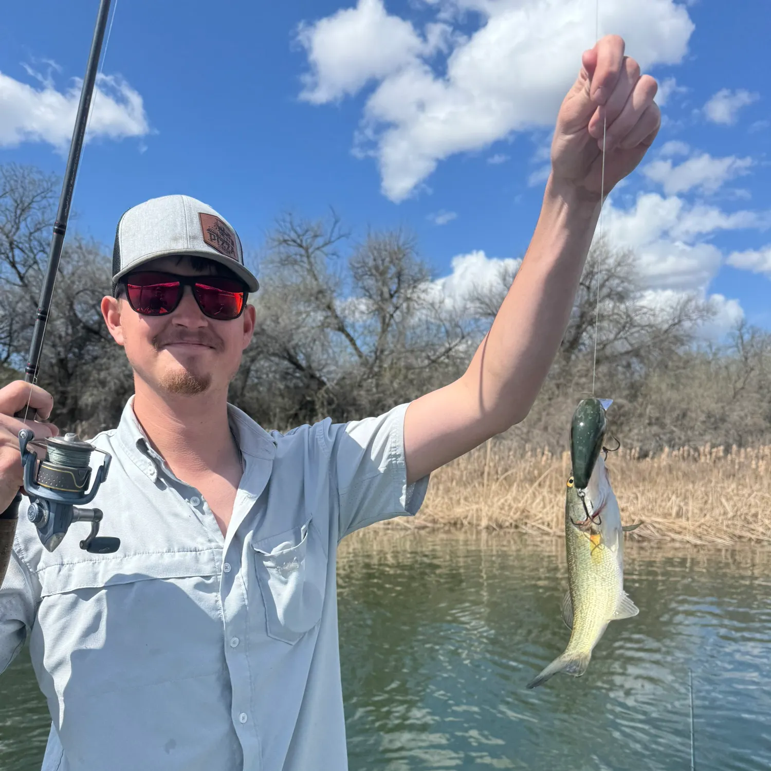
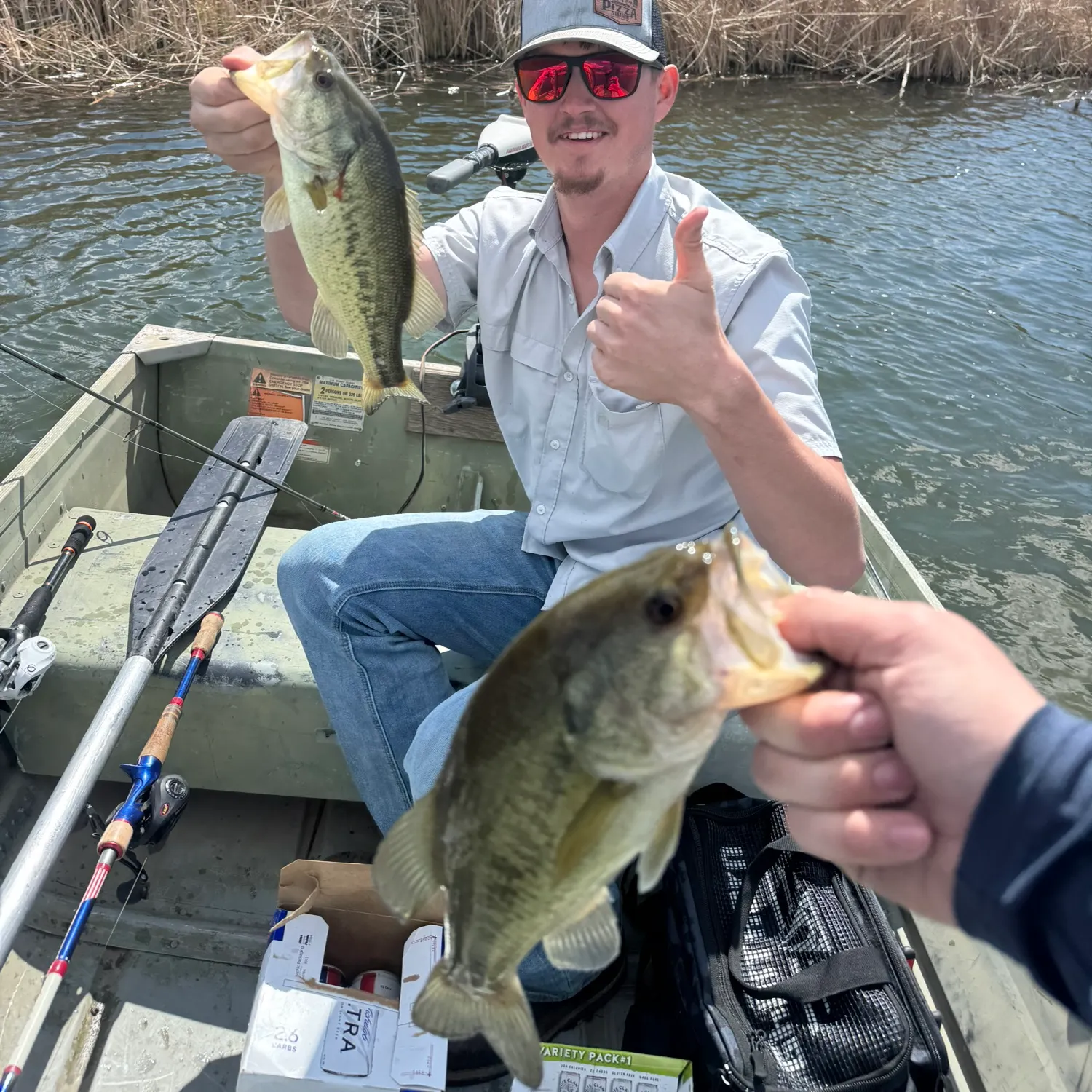
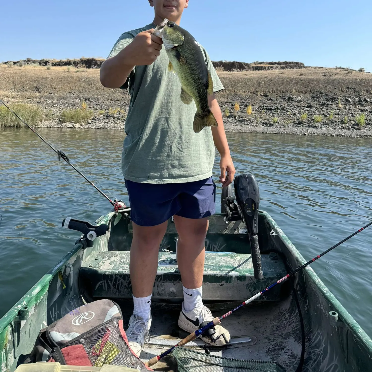
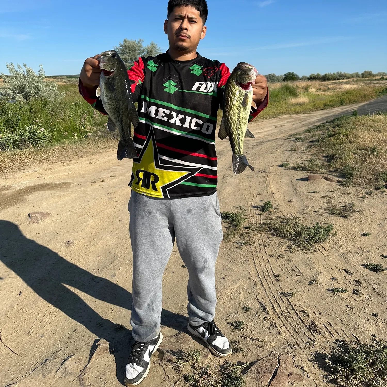
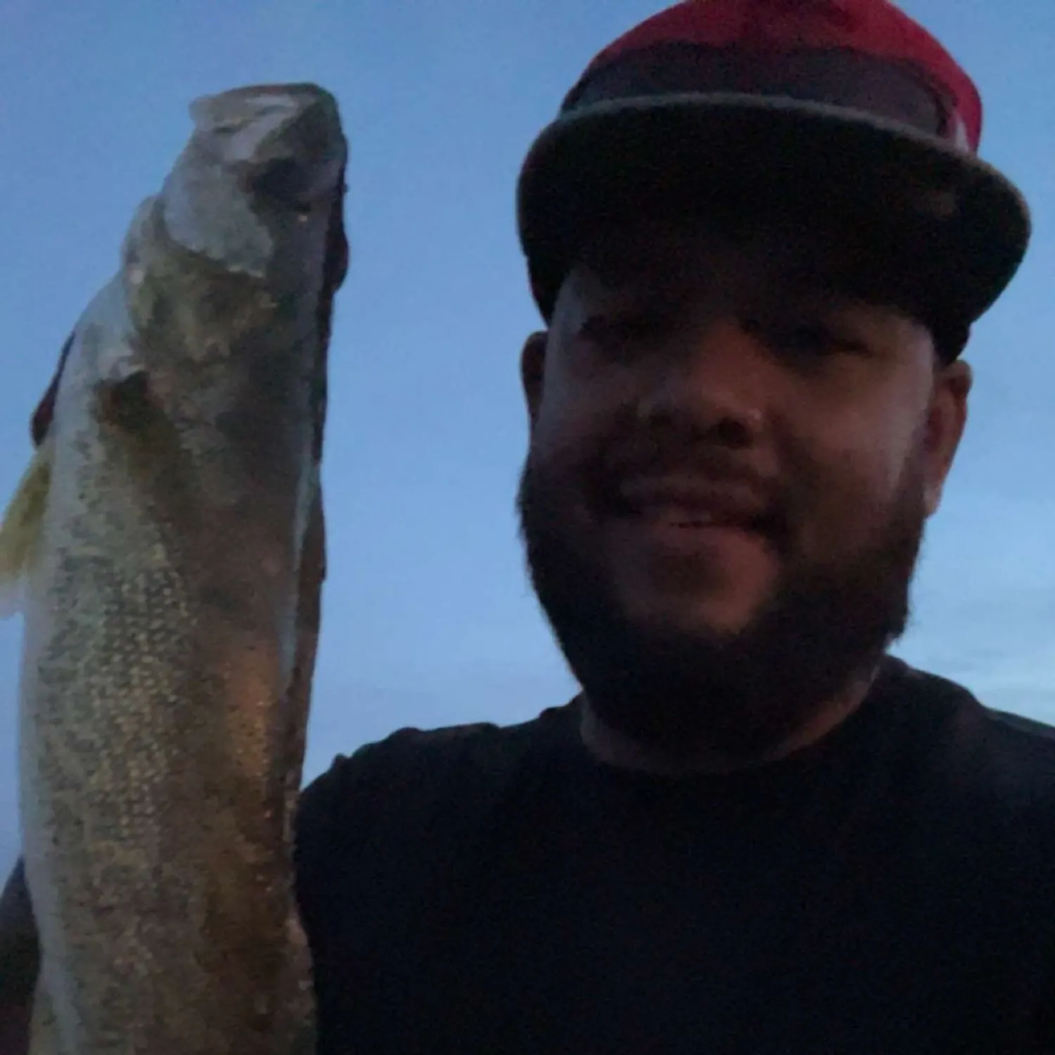
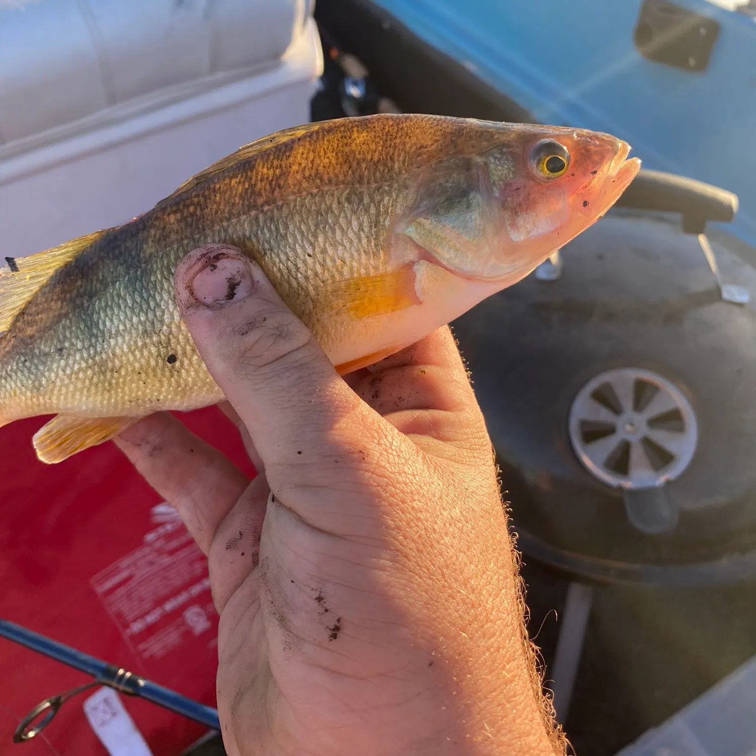
Chance Lake fishing reports

Continue browsing catches and catch locations in the Fishbrain app
Fishing regulations at Chance Lake, WA
Disclaimer: Always check local fishing regulations, water access rights and land ownership before fishing, regardless of any catches logged in that area by the Fishbrain community. Fishbrain has mapped millions of acres of government-owned land across the USA to help you identify potential fishing access, but you are responsible for ensuring compliance with all legal requirements.
Fishing regulations in Washington can change throughout the year. Make sure to check this page before fishing for the most up to date rules and regulations for the current season. Local regulations govern when you can fish, the max size of the fish you can keep, how many fish you can keep, and more.
Regulations for top species
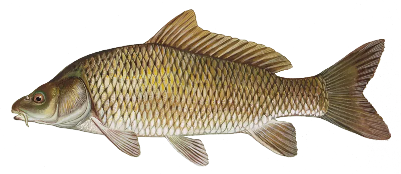
Common carp
Restrictions & requirements
WA Non-game and Food Fish
You may not harvest in freshwater any fish not classified as a Food Fish or Game Fish except for Northern pike.
WA Snagging
You may not snag or attempt to snag fish. It is unlawful to possess a fish taken from freshwater that was not hooked inside the mouth or on the head. The head is defined as any portion forward of the rear margin of the gill plate.
WA Use of Drugs, Explosives or Poisons
You may not use drugs, explosives, or poison that may kill or injure fish and wildlife.
WA Crossbow
You may not use a crossbow to harvest fish or shellfish.
WA Sale or Barter
You may not offer any recreationally-caught fish or shellfish for sale or barter.
WA Possession and Fishing Rules
You may not fish for or harvest fish or shellfish in an area with catch in your possession that does not meet the rules of that area. However, you may pass through such an area without stopping to fish. Also, you may catch fish in one area and land them at a port in a different area even if that different area is closed or has different rules, with the exception of landing halibut in a closed area, or landing bottom fish caught in Oregon.
WA Harvesting another Person's Limit
You may not harvest any part of another person's daily limit, except for persons who possess a Designated Harvester Companion Card unless otherwise specified.
WA Bait
You may not chum (broadcast feed) to attract Game Fish unless authorized by Special Rules. You many not use salmon, herring, or halibut for anything other than human consumption or fishing bait. It is unlawful to possess or use live aquatic animals as bait, except: (1) Live aquatic animals (other than fish) collected from the water being fished; (2) Live sand shrimp; (3) Live forage fish in the Columbia River (downstream of Rocky Point/Tongue Point).
WA Transport of Live Fish
You may not transport live fish or relocate shellfish or shells into state waters without a permit.
WA Use of a Net
You may not use a net, except when using a dip net to land legally-hooked fish, a forage fish dip net to harvest forage fish.
WA Use of Chemicals
You may not use any type of chemical irritant to harvest fish, or shellfish unless a special exception has been made by the Director.
WA Gaff Hooks
You may not use a gaff hook, except to land lingcod (in Marine Areas 1-3 and 4 West of Bonilla-Tatoosh line), halibut, tuna, or dogfish shark that will be retained.
WA Season for Fishing Rivers Streams and Beaver Ponds
Rivers, streams and beaver ponds are open the Saturday before Memorial Day through October 31. Beaver ponds located within or connected to streams listed as open to trout and other game fish follow the same rules as the stream. Lakes, ponds, and reservoirs are open to fishing for game fish (except Dolly Varden/bull trout and grass carp) year-round.
WA Cooperation with Data Collection
You must cooperate with data collection or other sampling of fish, shellfish or seaweed upon request of Department of Fish and Wildlife personnel. This includes relinquishing any part of a salmon, steelhead, or other species of fish containing coded-wire tags.
Additional information
Edibility
Synonyms
Location specific information

Smallmouth bass
Bag limit10
The maximum number of individual fish legally harvested per harvester per day. Bag limits are only for properly licensed anglers actively harvesting the species. People who are not actively harvesting or are not properly licensed (if a license is required) may NOT be counted for the purpose of bag limits.
Memorable / trophy limits1 > 14
The maximum number of trophy individuals legally harvested per harvester per day. A trophy is any individual of a length greater than the max size limit. Trophy individuals are included in the daily bag limit unless stated otherwise.
Restrictions & requirements
WA Non-game and Food Fish
You may not harvest in freshwater any fish not classified as a Food Fish or Game Fish except for Northern pike.
WA Snagging
You may not snag or attempt to snag fish. It is unlawful to possess a fish taken from freshwater that was not hooked inside the mouth or on the head. The head is defined as any portion forward of the rear margin of the gill plate.
WA Use of Drugs, Explosives or Poisons
You may not use drugs, explosives, or poison that may kill or injure fish and wildlife.
WA Crossbow
You may not use a crossbow to harvest fish or shellfish.
WA Sale or Barter
You may not offer any recreationally-caught fish or shellfish for sale or barter.
WA Possession and Fishing Rules
You may not fish for or harvest fish or shellfish in an area with catch in your possession that does not meet the rules of that area. However, you may pass through such an area without stopping to fish. Also, you may catch fish in one area and land them at a port in a different area even if that different area is closed or has different rules, with the exception of landing halibut in a closed area, or landing bottom fish caught in Oregon.
WA Harvesting another Person's Limit
You may not harvest any part of another person's daily limit, except for persons who possess a Designated Harvester Companion Card unless otherwise specified.
WA Bait
You may not chum (broadcast feed) to attract Game Fish unless authorized by Special Rules. You many not use salmon, herring, or halibut for anything other than human consumption or fishing bait. It is unlawful to possess or use live aquatic animals as bait, except: (1) Live aquatic animals (other than fish) collected from the water being fished; (2) Live sand shrimp; (3) Live forage fish in the Columbia River (downstream of Rocky Point/Tongue Point).
WA Transport of Live Fish
You may not transport live fish or relocate shellfish or shells into state waters without a permit.
WA Use of a Net
You may not use a net, except when using a dip net to land legally-hooked fish, a forage fish dip net to harvest forage fish.
WA Use of Chemicals
You may not use any type of chemical irritant to harvest fish, or shellfish unless a special exception has been made by the Director.
WA Bow and Arrow, Spear and Spearfishing
You may not fish for Game Fish, salmon, sturgeon, shad, octopus, crab, or other shellfish with bow and arrow, spear, or spearfishing gear unless authorized by Special Rules.
WA Gaff Hooks
You may not use a gaff hook, except to land lingcod (in Marine Areas 1-3 and 4 West of Bonilla-Tatoosh line), halibut, tuna, or dogfish shark that will be retained.
WA Season for Fishing Rivers Streams and Beaver Ponds
Rivers, streams and beaver ponds are open the Saturday before Memorial Day through October 31. Beaver ponds located within or connected to streams listed as open to trout and other game fish follow the same rules as the stream. Lakes, ponds, and reservoirs are open to fishing for game fish (except Dolly Varden/bull trout and grass carp) year-round.
WA Hook and Line Angling
Hook and line angling only. Barbed or barbless hooks may be used, and a hook may be single- point, double, or treble, but not more than one line with up to three hooks per angler may be used.
WA Cooperation with Data Collection
You must cooperate with data collection or other sampling of fish, shellfish or seaweed upon request of Department of Fish and Wildlife personnel. This includes relinquishing any part of a salmon, steelhead, or other species of fish containing coded-wire tags.
Additional information
Synonyms
Location specific information
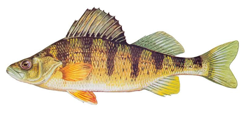
Yellow perch
Restrictions & requirements
WA Non-game and Food Fish
You may not harvest in freshwater any fish not classified as a Food Fish or Game Fish except for Northern pike.
WA Snagging
You may not snag or attempt to snag fish. It is unlawful to possess a fish taken from freshwater that was not hooked inside the mouth or on the head. The head is defined as any portion forward of the rear margin of the gill plate.
WA Use of Drugs, Explosives or Poisons
You may not use drugs, explosives, or poison that may kill or injure fish and wildlife.
WA Crossbow
You may not use a crossbow to harvest fish or shellfish.
WA Sale or Barter
You may not offer any recreationally-caught fish or shellfish for sale or barter.
WA Possession and Fishing Rules
You may not fish for or harvest fish or shellfish in an area with catch in your possession that does not meet the rules of that area. However, you may pass through such an area without stopping to fish. Also, you may catch fish in one area and land them at a port in a different area even if that different area is closed or has different rules, with the exception of landing halibut in a closed area, or landing bottom fish caught in Oregon.
WA Harvesting another Person's Limit
You may not harvest any part of another person's daily limit, except for persons who possess a Designated Harvester Companion Card unless otherwise specified.
WA Bait
You may not chum (broadcast feed) to attract Game Fish unless authorized by Special Rules. You many not use salmon, herring, or halibut for anything other than human consumption or fishing bait. It is unlawful to possess or use live aquatic animals as bait, except: (1) Live aquatic animals (other than fish) collected from the water being fished; (2) Live sand shrimp; (3) Live forage fish in the Columbia River (downstream of Rocky Point/Tongue Point).
WA Transport of Live Fish
You may not transport live fish or relocate shellfish or shells into state waters without a permit.
WA Use of a Net
You may not use a net, except when using a dip net to land legally-hooked fish, a forage fish dip net to harvest forage fish.
WA Use of Chemicals
You may not use any type of chemical irritant to harvest fish, or shellfish unless a special exception has been made by the Director.
WA Bow and Arrow, Spear and Spearfishing
You may not fish for Game Fish, salmon, sturgeon, shad, octopus, crab, or other shellfish with bow and arrow, spear, or spearfishing gear unless authorized by Special Rules.
WA Gaff Hooks
You may not use a gaff hook, except to land lingcod (in Marine Areas 1-3 and 4 West of Bonilla-Tatoosh line), halibut, tuna, or dogfish shark that will be retained.
WA Season for Fishing Rivers Streams and Beaver Ponds
Rivers, streams and beaver ponds are open the Saturday before Memorial Day through October 31. Beaver ponds located within or connected to streams listed as open to trout and other game fish follow the same rules as the stream. Lakes, ponds, and reservoirs are open to fishing for game fish (except Dolly Varden/bull trout and grass carp) year-round.
WA Hook and Line Angling
Hook and line angling only. Barbed or barbless hooks may be used, and a hook may be single- point, double, or treble, but not more than one line with up to three hooks per angler may be used.
WA Cooperation with Data Collection
You must cooperate with data collection or other sampling of fish, shellfish or seaweed upon request of Department of Fish and Wildlife personnel. This includes relinquishing any part of a salmon, steelhead, or other species of fish containing coded-wire tags.
Additional information
Edibility
Synonyms
Location specific information


Free trial available