Map

Jonahs Run

Fishing spots, fishing reports, and regulations in

Ohio, United States

4.3·3 catches

Top fish species at Jonahs Run
App Section

Check which species have trophy potential in Jonahs Run

Jonahs Run fishing reports

Loading...

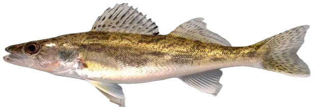
Saugeye

length · weight

Loading...

Channel catfish

23 in · 6 lb 3 oz

Loading...

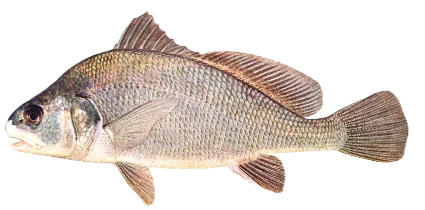
Freshwater drum

24 in · 7 lb 7 oz

Fishbrain
Have you been fishing here?

Log your catch and check out other catches from the community in the Fishbrain app.

Loading...
Loading...
Loading...

General info

Jonahs Run is a stream located in Warren County, Ohio, United States. It is also intersecting with Clinton County, Ohio. It is most popular for fishing Channel catfish, Freshwater drum, and Saugeye.

Location

39°29′48.6″N 84°00′43.8″W
Directions

Fishing regulations at Jonahs Run, OH

Disclaimer: Always check local fishing regulations, water access rights and land ownership before fishing, regardless of any catches logged in that area by the Fishbrain community. Fishbrain has mapped millions of acres of government-owned land across the USA to help you identify potential fishing access, but you are responsible for ensuring compliance with all legal requirements.

Fishing regulations in Ohio can change throughout the year. Make sure to check this page before fishing for the most up to date rules and regulations for the current season. Local regulations govern when you can fish, the max size of the fish you can keep, how many fish you can keep, and more.

Regulations for top species
Season open: year-round
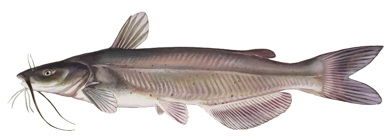
Channel catfish

Channel catfish

Regulation boundaryOhio State Waters
Memorable / trophy limits1 > 28

The maximum number of trophy individuals legally harvested per harvester per day. A trophy is any individual of a length greater than the max size limit. Trophy individuals are included in the daily bag limit unless stated otherwise.

Additional information
No minimum size limit. No bag limit for channel catfish under 28 inches. Bag limit of 1 channel catfish 28-inches or larger. Hoover Reservoir; bag limit = 4 fish split limit; 3 fish less than 18-inches and 1 fish 28-inches or longer may be harvested. None may be taken between 18-inches and 28-inches. For additional site-specific regulations, see Ohio Division of Wildlife Fishing Regulations.
Edibility
Very good Catch, Clean, Cook Channel Catfish by BlueGabe
Synonyms
Ictalurus punctatus
Season open: year-round
Saugeye

Saugeye

Regulation boundaryOhio State Waters
Bag limit6

The maximum number of individual fish legally harvested per harvester per day. Bag limits are only for properly licensed anglers actively harvesting the species. People who are not actively harvesting or are not properly licensed (if a license is required) may NOT be counted for the purpose of bag limits.

Aggregate limit6

The maximum number of individual fish across an aggregate group of species legally harvested per harvester per day.

Restrictions & requirements

Snagging

Harvest of this species by snagging (snatch hooking) is prohibited.

Additional information
No size limit. Walleye, Saugeye, and Sauger regulations for the Ohio River - Western Unit (Ohio/Kentucky) Regulations. The following are the ONLY unified regulations in this agreement and must be followed when fishing on or within a quarter mile of the Ohio River on its embayments and tributaries to the first riffle or dam in the Western Unit. bag limit = 6; min size = 14-inches Kentucky regulations apply to boat anglers fishing beyond the 1792 low water mark, identified at wildohio.gov. WildOhio.gov. Walleye, Saugeye, and Sauger regulations for the Ohio River - Eastern Unit (Ohio/West Virginia) Regulations. These Ohio regulations apply only to shore anglers when fishing on the Ohio shoreline and all anglers in Ohio embayments and tributaries within the Eastern Unit. bag limit = 6; no size limit. West Virginia regulations apply to boat anglers fishing the main stem of the Ohio River, shore anglers fishing the West Virginia shoreline, and boat and shore anglers fishing West Virginia embayments and tributaries within the Eastern Unit. Additional site-specific regulations for Walleye, Saugeye, and Sauger: Acton; bag limit = 6; Minimum size = 15-inches. Alum Creek; bag limit = 6; Minimum size = 15-inches. Atwood; bag limit = 6; Minimum size = 15-inches. Berlin; bag limit = 6; Minimum size = 15-inches. Buckeye; bag limit = 6; Minimum size = 15-inches. C.J. Brown; bag limit = 6; Minimum size = 15-inches. Caesar Creek; bag limit = 6; Minimum size = 15-inches. Ferguson; bag limit = 6; Minimum size = 15-inches. Findlay No. 1 & No. 2; bag limit = 6; Minimum size = 15-inches. Indian; bag limit = 6; Minimum size = 15-inches. Lake Milton (including the Mahoning River connecting Berlin Lake and Lake Milton); bag limit = 6; Minimum size = 15-inches. Metzger; bag limit = 6; Minimum size = 15-inches. Piedmont; bag limit = 6; Minimum size = 15-inches. Pleasant Hill; bag limit = 6; Minimum size = 15-inches. Rocky Fork; bag limit = 6; Minimum size = 15-inches. Seneca; bag limit = 6; Minimum size = 15-inches. Tappan; bag limit = 6; Minimum size = 15-inches. West Branch; bag limit = 6; Minimum size = 15-inches. For additional site-specific regulations, see Ohio Division of Wildlife Fishing Regulations.
Edibility
Very good.
Synonyms
Walleye+Sauger Hybrid
License Icon
Local laws and licenses

Ohio fishing license

Get license

Reviews of Jonahs Run

4.3
Loading...

4 ratings

5
4
3
2
1
Top reviews

Cities nearby

Harveysburg

0.8 miles away

Waynesville

4.9 miles away

Clarksville

6.8 miles away

Spring Valley

7.8 miles away

Roachester

10.9 miles away

Wilmington

11.1 miles away

Morrow

11.7 miles away

Centerville

11.8 miles away

Lebanon

11.8 miles away

Springboro

12.7 miles away

Port William

12.7 miles away

Xenia

13.4 miles away

Blanchester

14.2 miles away

Kettering

15.6 miles away

Franklin

15.6 miles away

Martinsville

16.1 miles away

Shawnee Hills

16.3 miles away

Beavercreek

16.4 miles away

Bowersville

16.4 miles away

Miamisburg

16.7 miles away

West Carrollton

17.6 miles away

Mason

18.2 miles away

Middletown

18.9 miles away

Sabina

20.1 miles away

Anything missing or inaccurate?

Suggest changes to improve what we show.

Suggest changes

FAQ about Jonahs Run fishing

📍 Where is the Jonahs Run located?
the Jonahs Run is a stream located in Warren County, Ohio, United States. It is also intersecting with Clinton County, Ohio. Its coordinates are:
39°29′48.6″N 84°00′43.8″W
.
🎣 Where on the Jonahs Run is it best to fish?
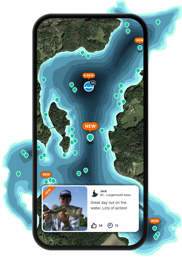
Find the best fishing spots on the Jonahs Run by looking at where other anglers have caught fish. This can easily be done in the where it is also possible to see big fish potential and how good fishing is right now along with Garmin® depth maps.
🐟 What species are in the Jonahs Run?
The most common species in the Jonahs Run are:
📢 What are the latest Jonahs Run fishing reports?
The latest Jonahs Run fishing reports are:
🪪 Do I need a fishing license to fish at the Jonahs Run?

Fishing in Ohio requires a valid state fishing license for anglers. Licenses include resident and non-resident, annual, short-term, and combination options, available online or from licensed vendors.

In Ohio, no fishing license is required for anglers under 16. Residents 66 and older qualify for a discounted license. A few other exceptions worth knowing:

  • Free fishing days — most states designate 1–2 weekends a year where anyone can fish without a license

  • Tribal waters — tribal members fishing on tribal land operate under separate tribal regulations

  • Private ponds — landowners fishing their own water typically don't need a license

Non-residents usually pay more for a license than residents. Some species also require an extra stamp or endorsement on top of your base license.

Get license
App Section
Download Fishbrain and fish smarter
Unlimited access to the best fishing spot finder in the game. Get all the fishing intel you need to start catching more, and bigger, fish.

Free trial available

Loading...
Loading...
Loading...
Loading...