
South Fork Potts Creek
Fishing spots, fishing reports, and regulations in
Logged catch

Check which species have trophy potential in South Fork Potts Creek

South Fork Potts Creek fishing reports
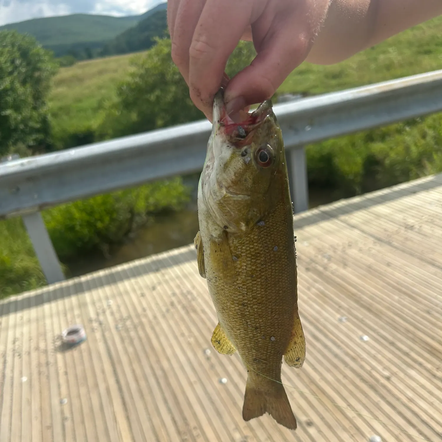


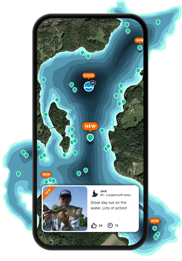
Log your catch and check out other catches from the community in the Fishbrain app.
Fishing regulations at South Fork Potts Creek, WV
Disclaimer: Always check local fishing regulations, water access rights and land ownership before fishing, regardless of any catches logged in that area by the Fishbrain community. Fishbrain has mapped millions of acres of government-owned land across the USA to help you identify potential fishing access, but you are responsible for ensuring compliance with all legal requirements.
Fishing regulations in West Virginia can change throughout the year. Make sure to check this page before fishing for the most up to date rules and regulations for the current season. Local regulations govern when you can fish, the max size of the fish you can keep, how many fish you can keep, and more.
Regulations for top species
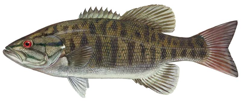
Smallmouth bass
Bag limit6
The maximum number of individual fish legally harvested per harvester per day. Bag limits are only for properly licensed anglers actively harvesting the species. People who are not actively harvesting or are not properly licensed (if a license is required) may NOT be counted for the purpose of bag limits.
Aggregate limit6
The maximum number of individual fish across an aggregate group of species legally harvested per harvester per day.
Restrictions & requirements
WV Wanton Waste
It is illegal for any person to cause through carelessness, neglect or otherwise to let any edible portion of any game fish to go to waste needlessly. The edible portion is the fillet meat from the gill plate to the tail fin. Edible meat does not include bones, sinew, viscera, meat from the head or neck, meat that has been damaged or rendered inedible by method of taking, or meat that is reasonably lost as a result of boning or close trimming of bones.
WV Prohibited Gear
IT IS ILLEGAL TO (1) use a firearm, crossbow, dynamite or any like explosive, or a poisonous mixture placed in the water for the purpose of killing or taking fish, frogs, aquatic turtles or other forms of aquatic life; (2) use any free-floating device (jug fishing) used to deploy a hook and line; (3) fish with more than two lines or poles in an impoundment stocked with trout by the WVDNR from January 1 – May 31; (4) stock fish in the waters of West Virginia. Please do not release unused bait into West Virginia waters; (5) sell any fish for profit; (6) sell or give any fish caught in public waters to a pay pond; (7) improperly dispose of, leave on a bank or in the water fish taken while bow fishing; and (8) fish within 200 feet of Division of Natural Resources personnel who are stocking fish in public waters.
WV Spearfishing
Nongame fish may be taken by spearfishing from July 1 – September 30 during daylight hours only. Gamefish are not permitted to be taken while spear fishing. A complete list of gamefish is on the back cover of the regulations. Spearfishing is prohibited on: (1) Elk River, from Sutton Dam downstream to the U.S. Route 19 bridge at Sutton; (2) New River, from Bluestone Dam downstream to the lower bridge at Hinton.Spearguns may be discharged only beneath the surface of the water.It is illegal to use a bolt having an explosive head or shaft or a bolt dipped in or smeared with poison or other chemicals.A diver may not spearfish in such a manner as to interfere with other anglers.A diver may not spearfish in heavily traveled boat lanes, marked swimming areas or marked waterskiing areas."Diver down flag" shall be a red field of not less than 10 inches x 10 inches dimension with a white diagonal stripe not less than 1.5 inches wide running upper left to lower right. The flag shall be displayed at all times and be affixed to a separate flotation device. No such flag shall be attached to any navigational device or placed so as to obstruct boat traffic. Divers must come up within 100 feet of flag. All powerboats will remain a minimum distance of 100 feet away from the marker flag. The top of the flag shall be at least 3 feet above the surface of the water.Fish taken by spearfishing may not be returned to the water or left on the bank.
WV Trotlines
Trotlines and droplines must be attached to the bank or a tree thereon, must bear an identification tag that is legible and waterproof, and must be attended every 24 hours. The tag must either bear the owner's name and address or his or her WVDNR identification number. Wire or cable lines and hooks with more than one point are prohibited.IT IS ILLEGAL TO:fish with trotlines and droplines in state-managed impoundments except Stonecoal, Hawks Nest, Mt. Storm, Cheat and U.S. Army Corps of Engineers lakes;attach a trotline to public piers and docks or within 50 feet of dam appurtenances;use droplines on the Elk River, Hughes River, Little Kanawha River, Middle Island Creek, and South Fork of Hughes River.
WV Seining + Traps
Game fish may not be seined or trapped. A seine may be used to obtain minnows for use as bait provided the seine is not longer than eight feet nor deeper than four feet. A thrownet may be used provided the radius is no larger than 12 feet and mesh size no larger than 1-inch. Minnow traps may be used provided the openings are not larger than one inch in diameter. A person may have in his possession no more than 50 minnows nor more than a total of 100 aquatic animal life unless obtained from a licensed dealer and a bill of sale is provided. A valid West Virginia fishing license is needed to collect minnows and other aquatic life. Minnow traps must be tagged with a waterproof, legible tag bearing either the owner's name and address or his or her WVDNR identification number. Minnow traps must also be checked once every 24 hours.
WV Ice Fishing
Holes cut for ice fishing must be no larger than 10 inches in diameter. This applies to public waters where ice fishing is allowed.
WV Gigging, Snagging, Snaring
Suckers, carp, fallfish, and creek chubs may be taken by snaring year-round. Nongame fish, certain turtles and eels may be taken by gigging, snagging, or snaring from January 1 – May 15 and from July 15 – December 31, except that snagging and gigging shall be prohibited within 100 feet of all U.S. Army Corps of Engineers Locks and Dams and their appurtenances. Snagging of game fish is prohibited.
WV Dipping
Dipping for nongame fish is legal year-round with a valid West Virginia fishing license. A dip net may not exceed 36 square feet in overall area, and its mesh may not be smaller than one-fourth inch.
WV Bow Fishing
Bow fishing for game fish is not permitted. Only common carp, bighead carp, silver carp, and grass carp may be taken by bow year-round; smallmouth buffalo are not carp and cannot be shot year-round. Other nongame fish may be taken by bow during all months of the year except May and June. All anglers must have a valid fishing license in order to fish using a bow. All persons using a bow to fish must observe all applicable fishing regulations. Fish taken by bow fishing may not be returned to the water or left on the bank.IT IS ILLEGAL to use an arrow having an explosive head or shaft or an arrow dipped in or smeared with poison or other chemicals.
Additional information
Synonyms
Free trial available