
Top fish species at Coal Creek

Check which species have trophy potential in Coal Creek
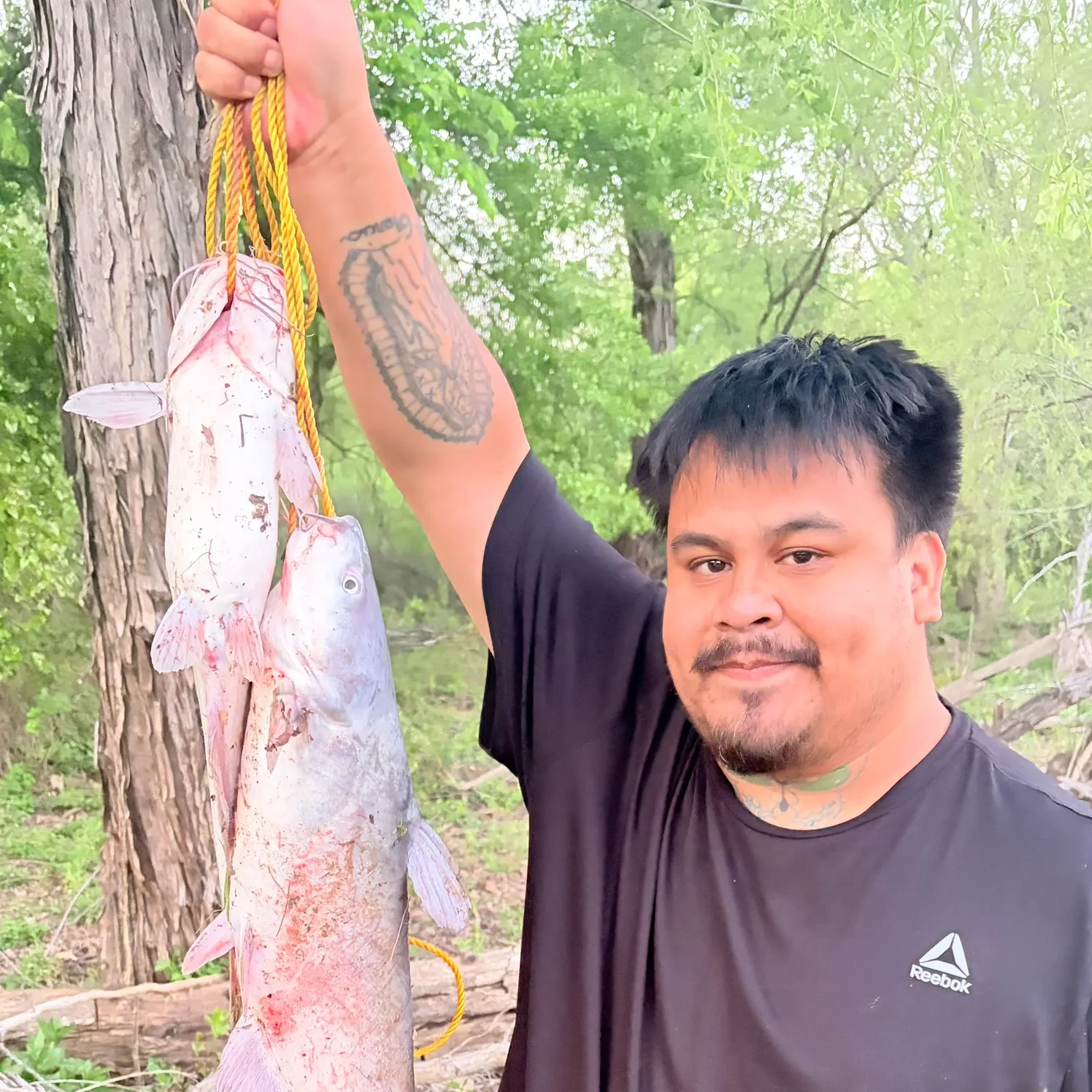
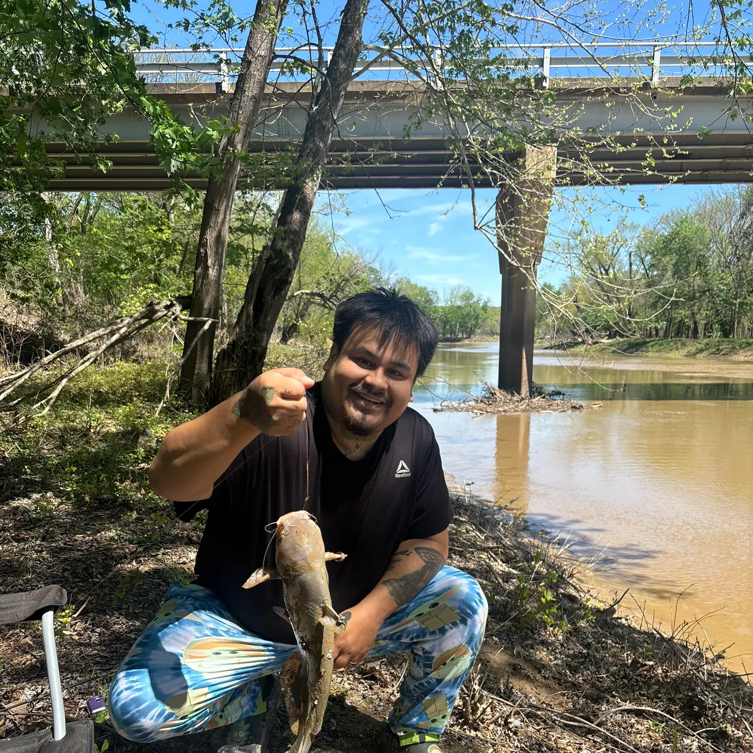
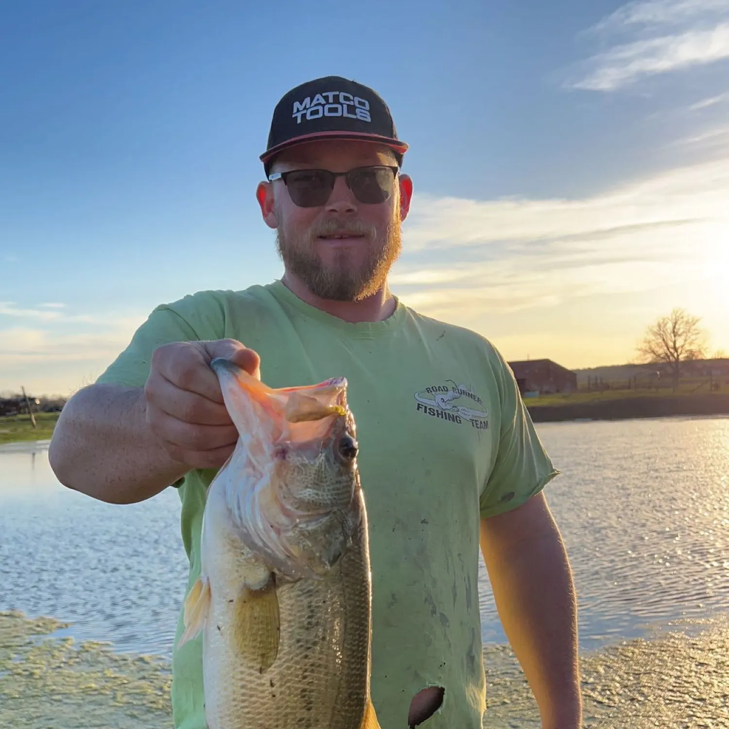
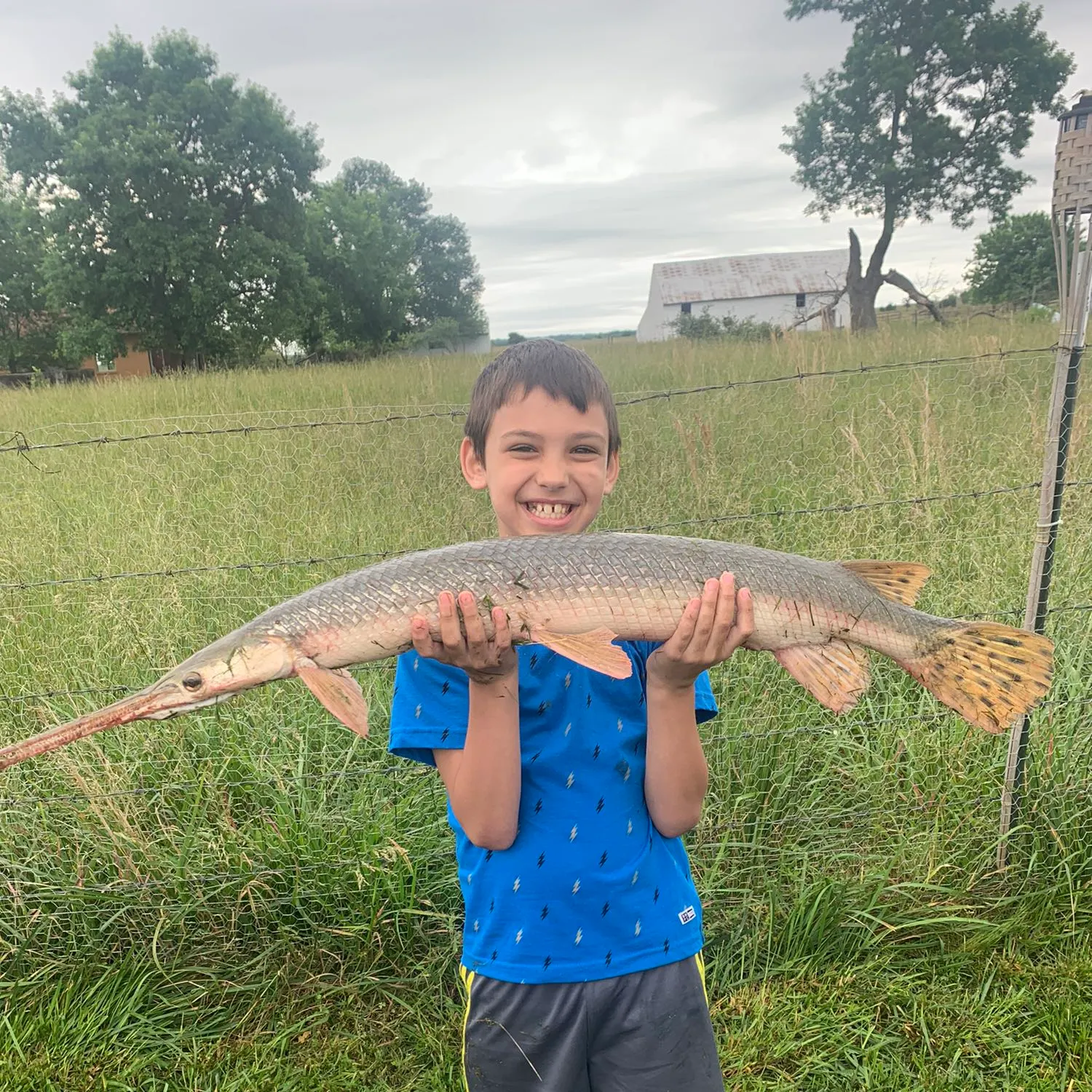
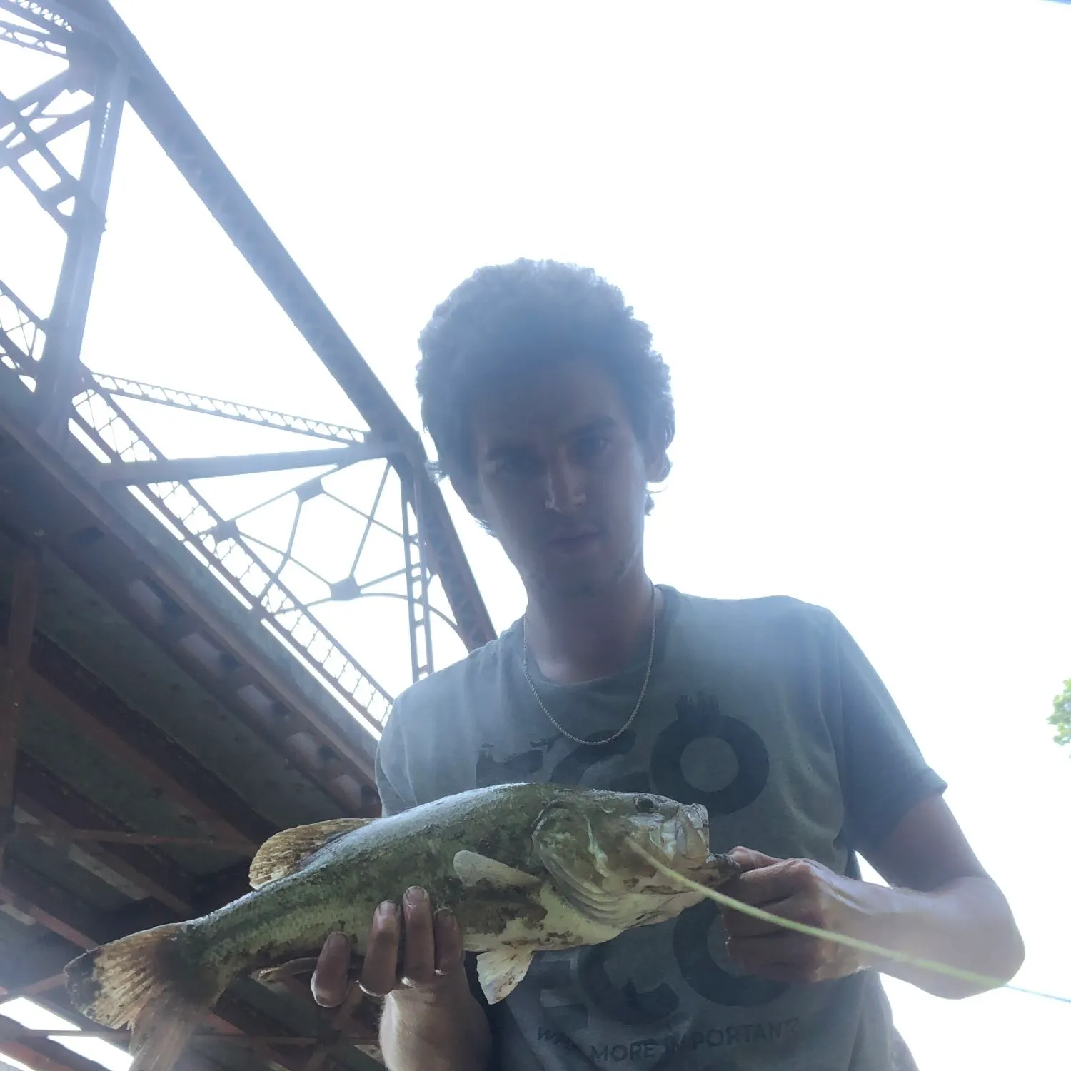
Coal Creek fishing reports

Continue browsing catches and catch locations in the Fishbrain app
Fishing regulations at Coal Creek, OK
Disclaimer: Always check local fishing regulations, water access rights and land ownership before fishing, regardless of any catches logged in that area by the Fishbrain community. Fishbrain has mapped millions of acres of government-owned land across the USA to help you identify potential fishing access, but you are responsible for ensuring compliance with all legal requirements.
Fishing regulations in Oklahoma can change throughout the year. Make sure to check this page before fishing for the most up to date rules and regulations for the current season. Local regulations govern when you can fish, the max size of the fish you can keep, how many fish you can keep, and more.
Regulations for top species
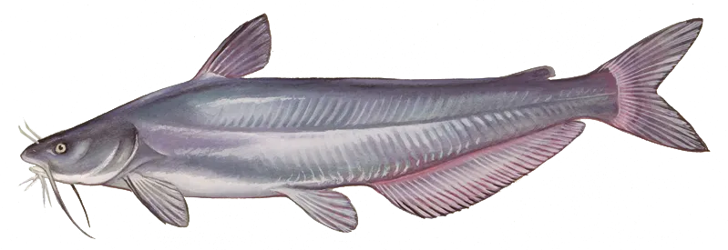
Blue catfish
Bag limit15
The maximum number of individual fish legally harvested per harvester per day. Bag limits are only for properly licensed anglers actively harvesting the species. People who are not actively harvesting or are not properly licensed (if a license is required) may NOT be counted for the purpose of bag limits.
Aggregate limit15
The maximum number of individual fish across an aggregate group of species legally harvested per harvester per day.
Memorable / trophy limits1 > 30
The maximum number of trophy individuals legally harvested per harvester per day. A trophy is any individual of a length greater than the max size limit. Trophy individuals are included in the daily bag limit unless stated otherwise.
RequirementKeep intact
In waters where minimum-length or slot-size limits apply, game fish may not be filleted, nor their head or tail fin removed until the angler has completed fishing for the day.
Restrictions & requirements
No Gaff Hooks
The use of "Gaff Hooks", or the use of any other technique or device that severely injures the fish, to assist in landing paddlefish, is prohibited, except while bowfishing.
OK Noodling
Noodling is the taking of non-game fish and catfish by use of hands only. Possession of hooks, gaff hooks, spears, poles with hooks attached or ropes with hooks attached while in the act of noodling shall be proof of violation of the "hands only" noodling law. Noodling shall be lawful year-round in all waters during day-light hours only unless restricted under "Public Fishing Waters" special regulations.
Keep Intact
In waters where minimum-length or slot-size limits apply, game fish may not be filleted, nor their head or tail fin removed until the angler has completed fishing for the day.
Additional information
Edibility
Synonyms
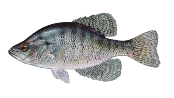
White crappie
Bag limit37
The maximum number of individual fish legally harvested per harvester per day. Bag limits are only for properly licensed anglers actively harvesting the species. People who are not actively harvesting or are not properly licensed (if a license is required) may NOT be counted for the purpose of bag limits.
Aggregate limit37
The maximum number of individual fish across an aggregate group of species legally harvested per harvester per day.
RequirementKeep intact
In waters where minimum-length or slot-size limits apply, game fish may not be filleted, nor their head or tail fin removed until the angler has completed fishing for the day.
Restrictions & requirements
No Gaff Hooks
The use of "Gaff Hooks", or the use of any other technique or device that severely injures the fish, to assist in landing paddlefish, is prohibited, except while bowfishing.
Keep Intact
In waters where minimum-length or slot-size limits apply, game fish may not be filleted, nor their head or tail fin removed until the angler has completed fishing for the day.
Additional information
Edibility
Synonyms
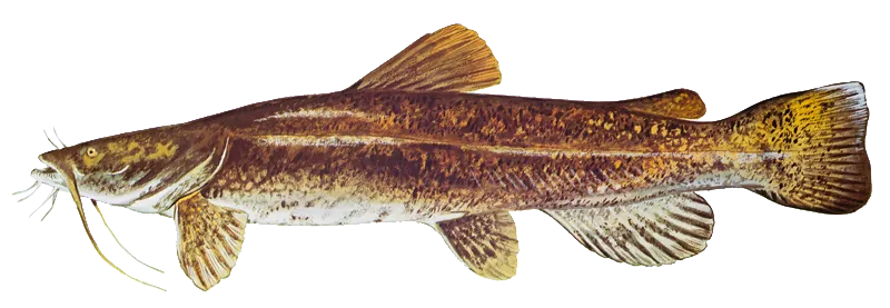
Flathead catfish
Bag limit5
The maximum number of individual fish legally harvested per harvester per day. Bag limits are only for properly licensed anglers actively harvesting the species. People who are not actively harvesting or are not properly licensed (if a license is required) may NOT be counted for the purpose of bag limits.
Restrictions & requirements
No Gaff Hooks
The use of "Gaff Hooks", or the use of any other technique or device that severely injures the fish, to assist in landing paddlefish, is prohibited, except while bowfishing.
OK Noodling
Noodling is the taking of non-game fish and catfish by use of hands only. Possession of hooks, gaff hooks, spears, poles with hooks attached or ropes with hooks attached while in the act of noodling shall be proof of violation of the "hands only" noodling law. Noodling shall be lawful year-round in all waters during day-light hours only unless restricted under "Public Fishing Waters" special regulations.
Edibility
Synonyms


Free trial available