
Top fish species at Redgrass Creek


Check which species have trophy potential in Redgrass Creek
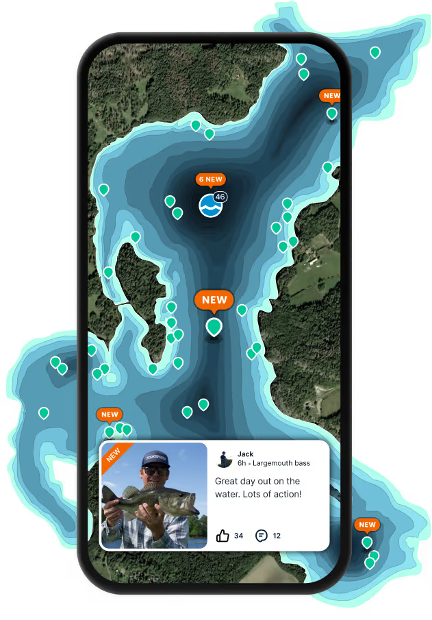
Redgrass Creek fishing reports
length · weight

Continue browsing catches and catch locations in the Fishbrain app
When are Largemouth Bass biting on Redgrass Creek?
Learn what time of year and day to go fishing at Redgrass Creek. Download Fishbrain today to look for new fishing spots, scout new fishing access, or prep for your next trip.

Fishing regulations at Redgrass Creek, MS
Disclaimer: Always check local fishing regulations, water access rights and land ownership before fishing, regardless of any catches logged in that area by the Fishbrain community. Fishbrain has mapped millions of acres of government-owned land across the USA to help you identify potential fishing access, but you are responsible for ensuring compliance with all legal requirements.
Fishing regulations in Mississippi can change throughout the year. Make sure to check this page before fishing for the most up to date rules and regulations for the current season. Local regulations govern when you can fish, the max size of the fish you can keep, how many fish you can keep, and more.
Below you will see fishing regulations for catching White crappie as of April 1st, 2026. To view regulations for a different fish species, please click on your preferred species in the drop-down.
Seasons
Bag limit
The following waterbodies have modified size and creel limits for crappie (combined black crappie and white crappie):
Arkabutla Lake; Tate County: 12-inch minimum size; creel limit = 15 crappie;
Charlie Capps WMA Lake; Bolivar County: no minimum size; creel limit = 20 crappie;
Eagle Lake; Warren County: 11-inch minimum size; creel limit = 30 crappie;
Enid Lake; Yalobusha, Lafayette, and Panola Counties: 12-inch minimum size; creel limit = 15 crappie;
Grenada Lake; Grenada, Calhoun and Yalobusha Counties: 12-inch minimum size; creel limit = 15 crappie;
Lake Okhissa; Franklin County: 10-inch minimum size; creel limit = 10 crappie;
Lake Washington; Washington County: 11-inch minimum size; creel limit = 30 crappie;
Lake Monroe; Monroe County: no minimum size; creel limit = 20 crappie;
Lake Mary Crawford; Lawrence County: no minimum size; creel limit = 15 crappie;
Choctaw Lake; Choctaw County: 12-inch minimum size; creel limit = 10 crappie;
Moon Lake; Coahoma County: 10-inch minimum size; creel limit = 30 crappie;
Pickwick & Tenn-Tom Waterway (including all tributaries) Pickwick Lake to Aliceville Lock & Dam: 9-inch minimum size; creel limit = 30 crappie;
Percy Quin State Park; Pike County: no minimum size; creel limit = 20 crappie;
Sardis Lake; Lafayette, Marshall, and Panola Counties: 12-inch minimum size; creel limit = 15 crappie;
Spillways of Arkabutla To Prichard Road Bridge, Enid To I-55, Grenada To Hwy. 51, Sardis and Sardis Lower Lake To Spaulding Creek: no minimum size; creel limit = 15 crappie;
Trace State Park; Lee County: no minimum size; creel limit = 20 crappie.
Creel limits for black bass, bream, crappie, striped bass, and striped bass hybrids in waters touched by the state boundary (border waters) shall be that of the adjacent state, or the Mississippi limit, whichever is greater.
Black Crappie, Pomoxis, Pomoxis annularis, Pomoxis nigromaculatus, White Crappie
Regulations for

FAQ about Redgrass Creek fishing
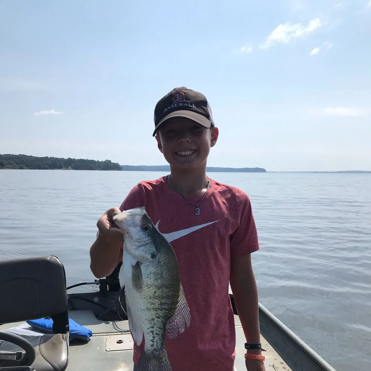
- White crappie - 4 members reported to have caught this fish
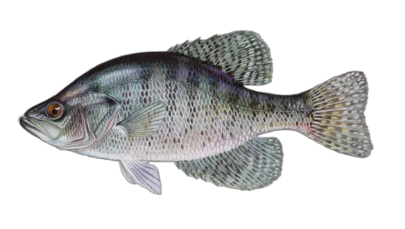
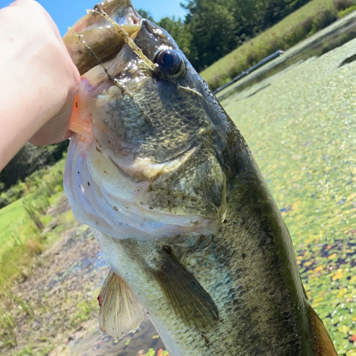
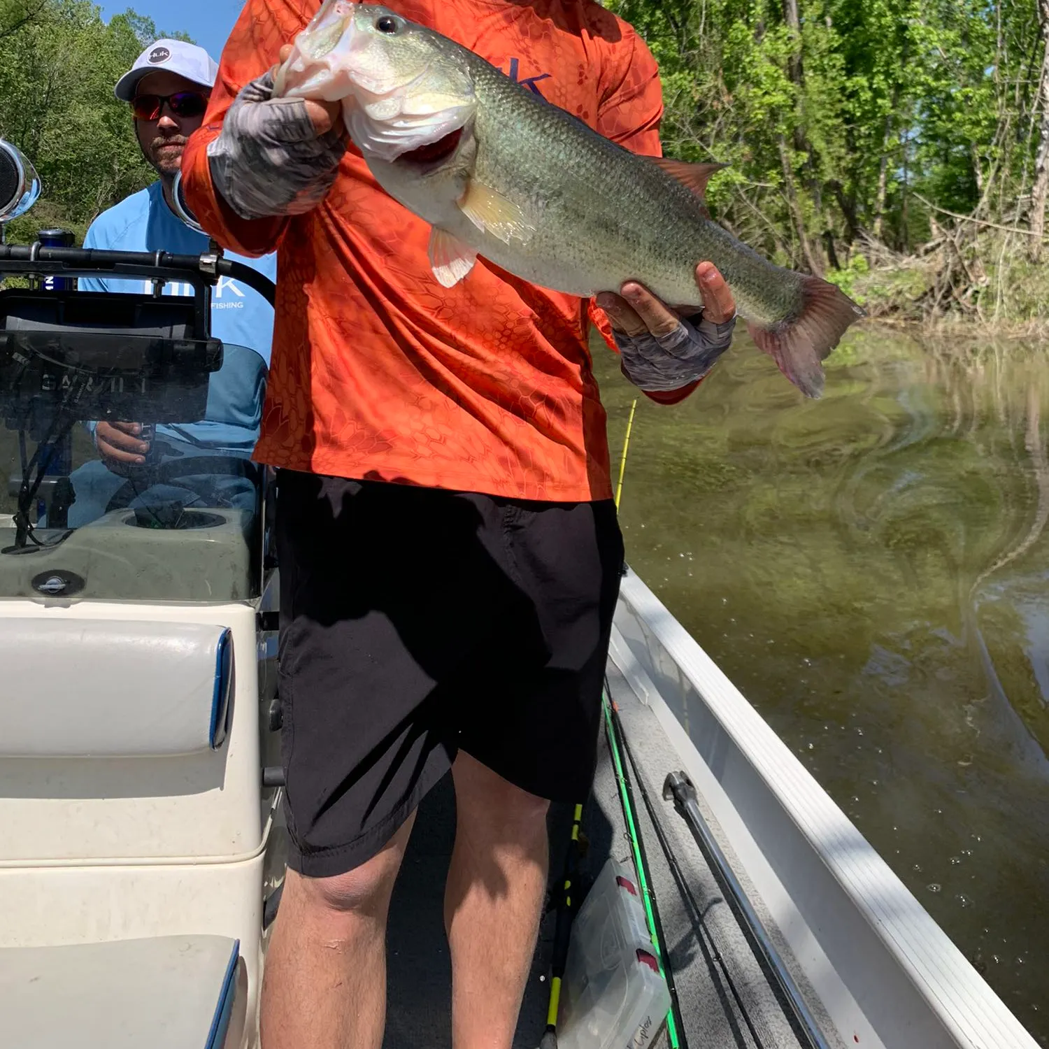
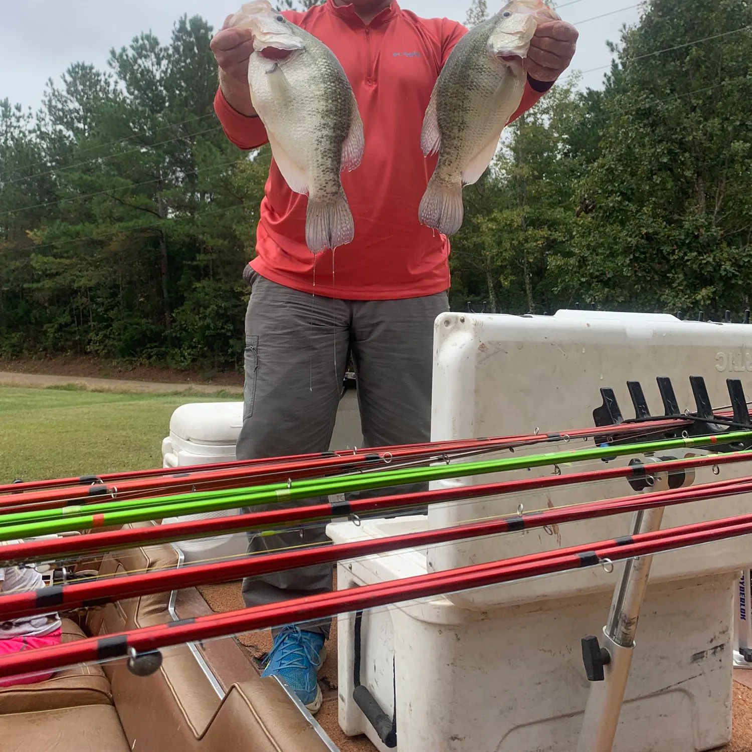
- Largemouth bass - 5 members reported to have caught this fish
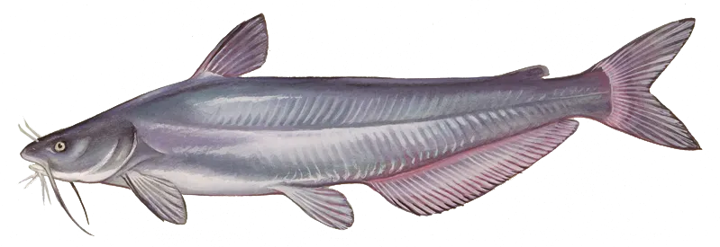
- Blue catfish - 1 members reported to have caught this fish
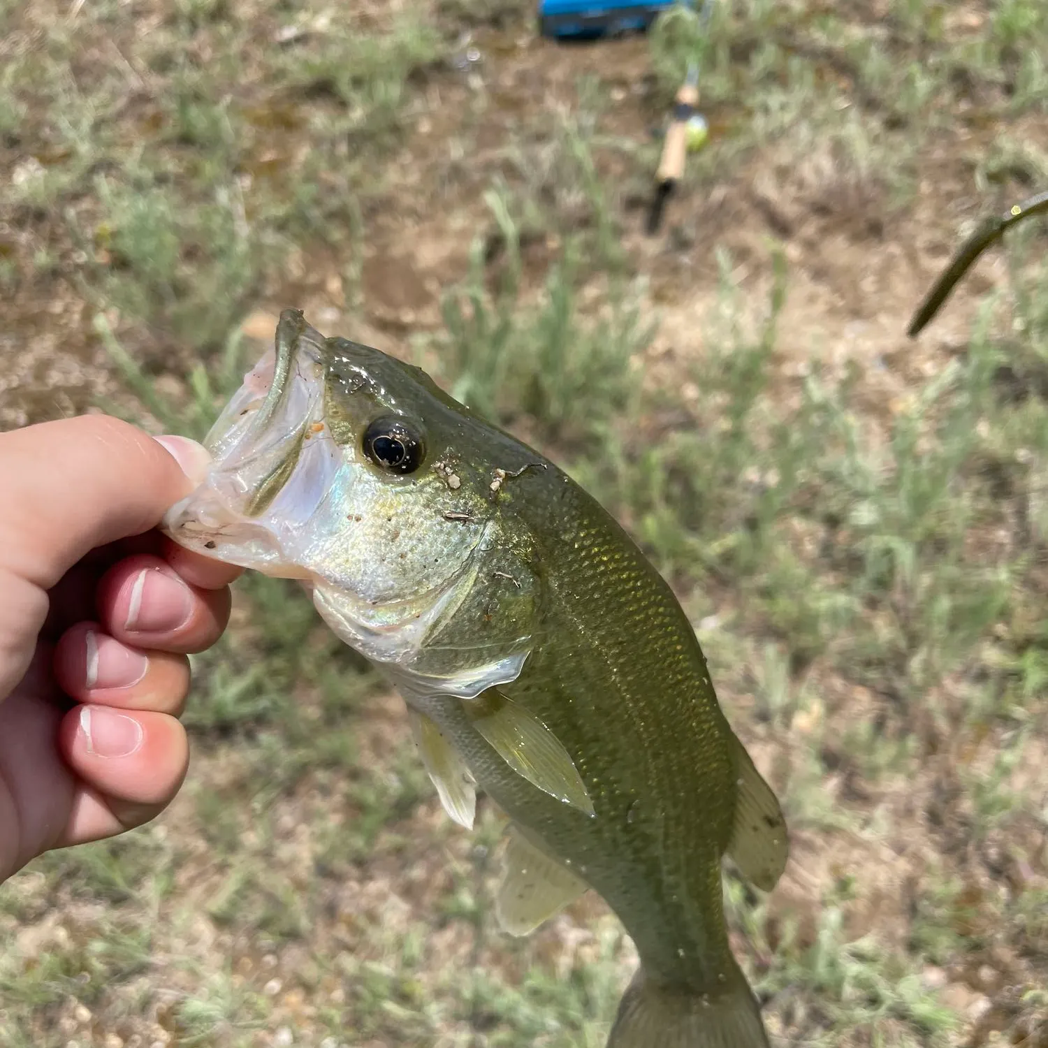
- @cartercrutchfield reported a nice Largemouth bass.
- @carson.jeffreys reported a nice Smooth hammerhead shark.
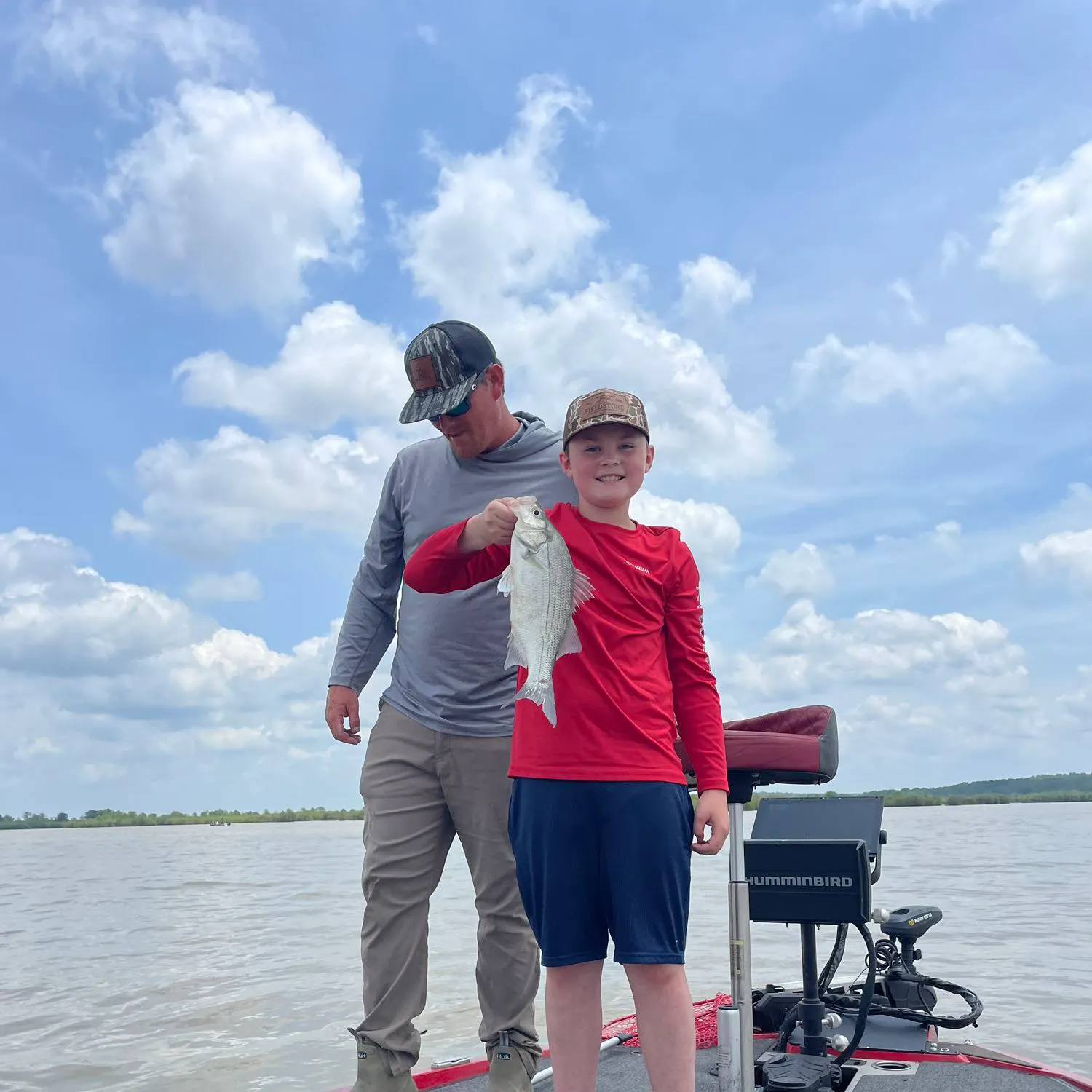
- @tucketstroup_3 reported a nice White crappie.
- @KHollis11 reported a nice Largemouth bass.
Free trial available