
Top fish species at Fall Fork
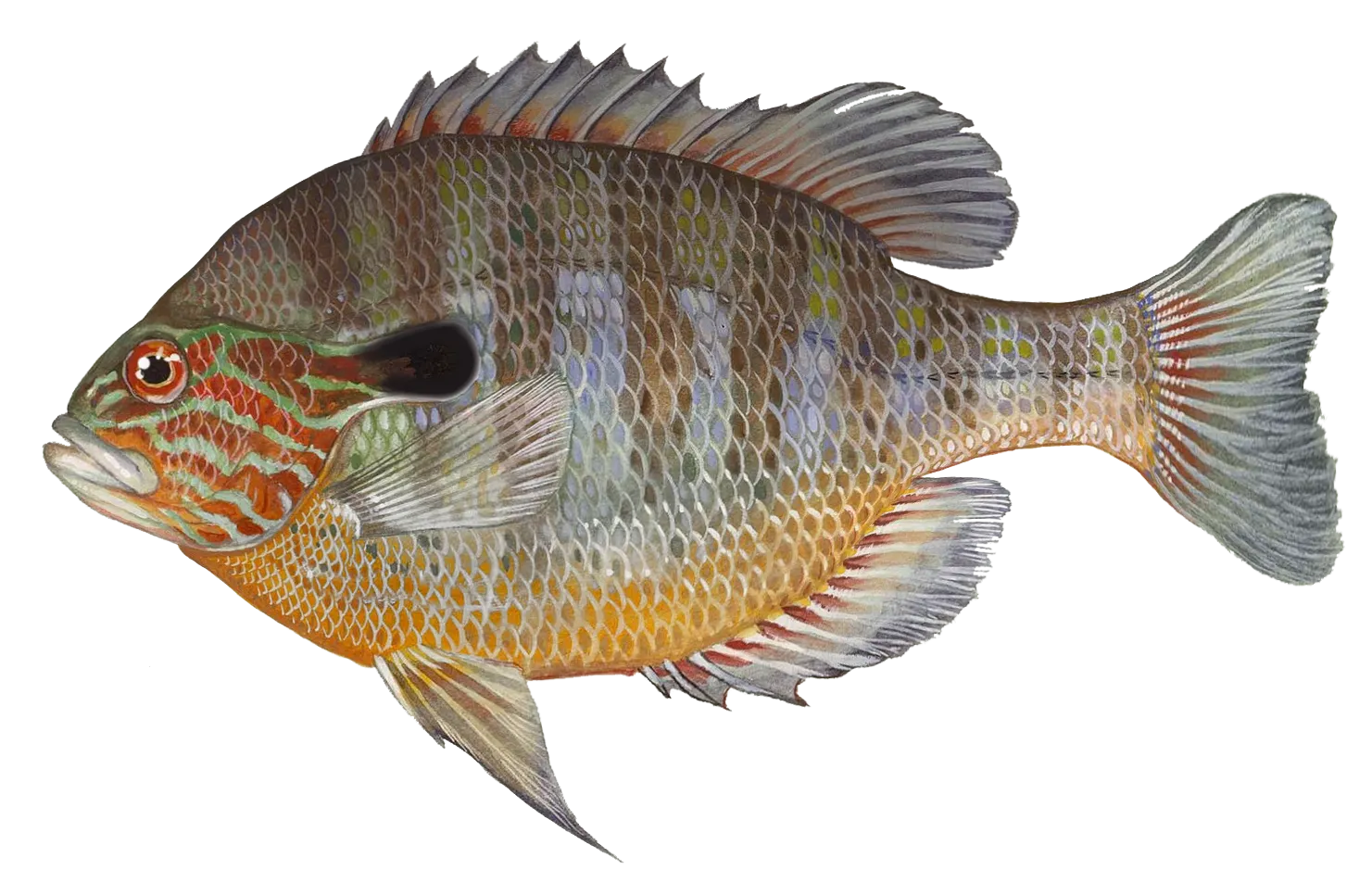

Check which species have trophy potential in Fall Fork

Fall Fork fishing reports
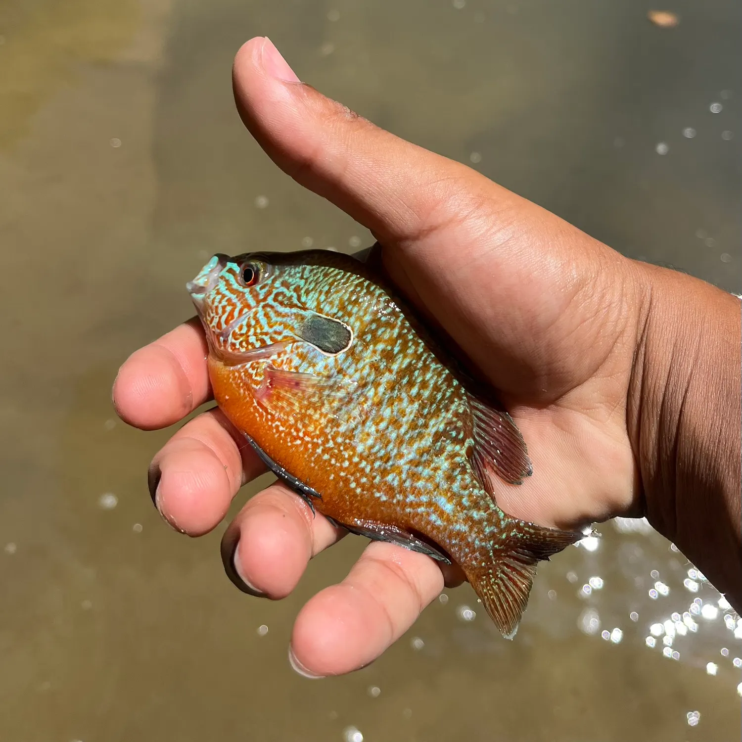
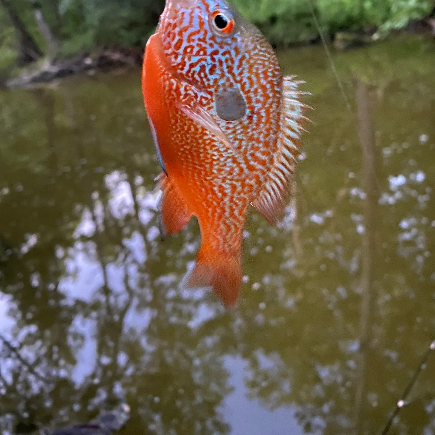
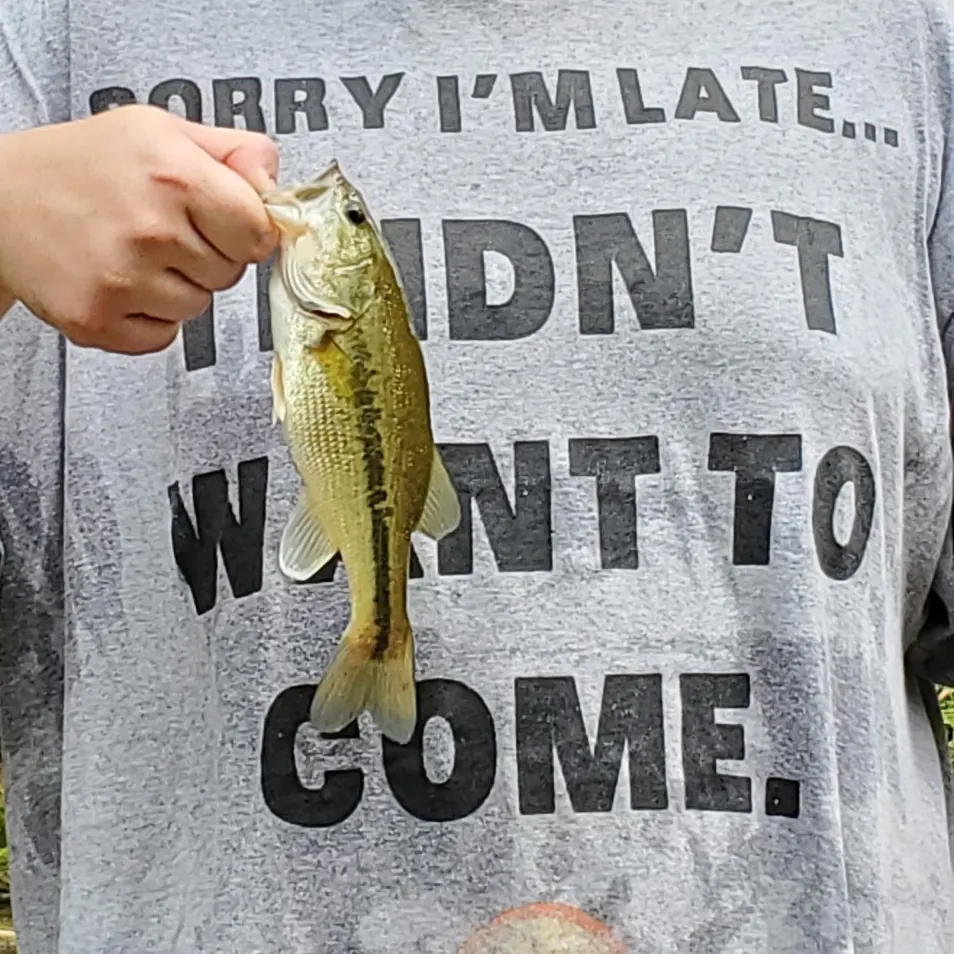
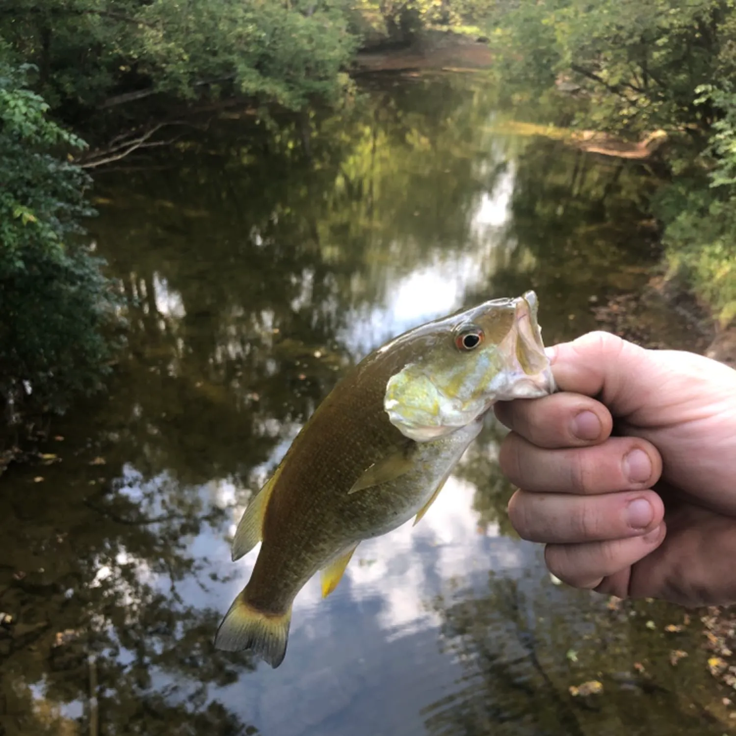
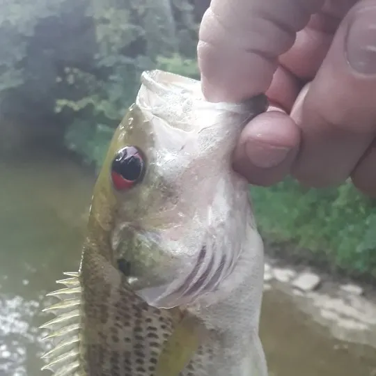
12 in · 1 lb
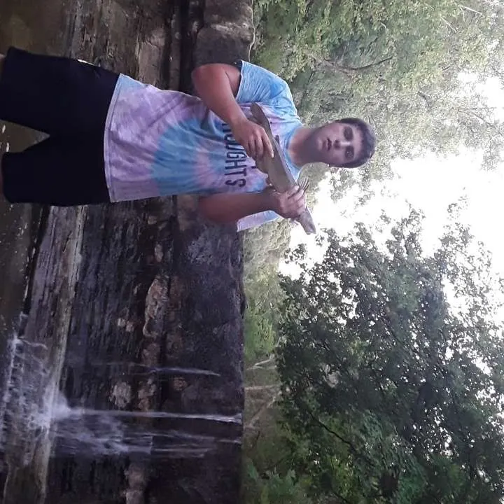


Continue browsing catches and catch locations in the Fishbrain app

When are Largemouth Bass biting on Fall Fork?
Learn what time of year and day to go fishing at Fall Fork. Download Fishbrain today to look for new fishing spots, scout new fishing access, or prep for your next trip.

Fishing regulations at Fall Fork, IN
Disclaimer: Always check local fishing regulations, water access rights and land ownership before fishing, regardless of any catches logged in that area by the Fishbrain community. Fishbrain has mapped millions of acres of government-owned land across the USA to help you identify potential fishing access, but you are responsible for ensuring compliance with all legal requirements.
Fishing regulations in Indiana can change throughout the year. Make sure to check this page before fishing for the most up to date rules and regulations for the current season. Local regulations govern when you can fish, the max size of the fish you can keep, how many fish you can keep, and more.
Regulations for top species
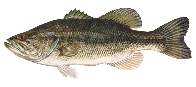
Largemouth bass
Bag limit5
The maximum number of individual fish legally harvested per harvester per day. Bag limits are only for properly licensed anglers actively harvesting the species. People who are not actively harvesting or are not properly licensed (if a license is required) may NOT be counted for the purpose of bag limits.
Min size14" (Total Length)
No person shall harvest any individual fish less than the minimum size limit.
Total length means the straight line distance from the most forward point of the head with the mouth closed, to the farthest tip of the tail with the tail compressed or squeezed, while the fish is lying on its side.
Aggregate limit5
The maximum number of individual fish across an aggregate group of species legally harvested per harvester per day.
Additional information
Edibility
Synonyms
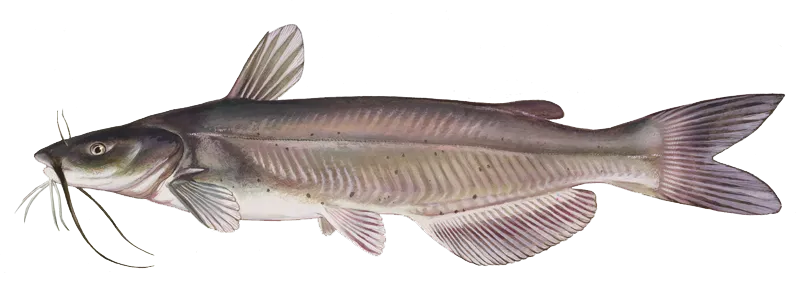
Channel catfish
Bag limit10
The maximum number of individual fish legally harvested per harvester per day. Bag limits are only for properly licensed anglers actively harvesting the species. People who are not actively harvesting or are not properly licensed (if a license is required) may NOT be counted for the purpose of bag limits.
Aggregate limit10
The maximum number of individual fish across an aggregate group of species legally harvested per harvester per day.
Memorable / trophy limits1 > 28
The maximum number of trophy individuals legally harvested per harvester per day. A trophy is any individual of a length greater than the max size limit. Trophy individuals are included in the daily bag limit unless stated otherwise.
Additional information
Edibility
Synonyms
Free trial available