
Top fish species at North Spreader Waterway

Check which species have trophy potential in North Spreader Waterway
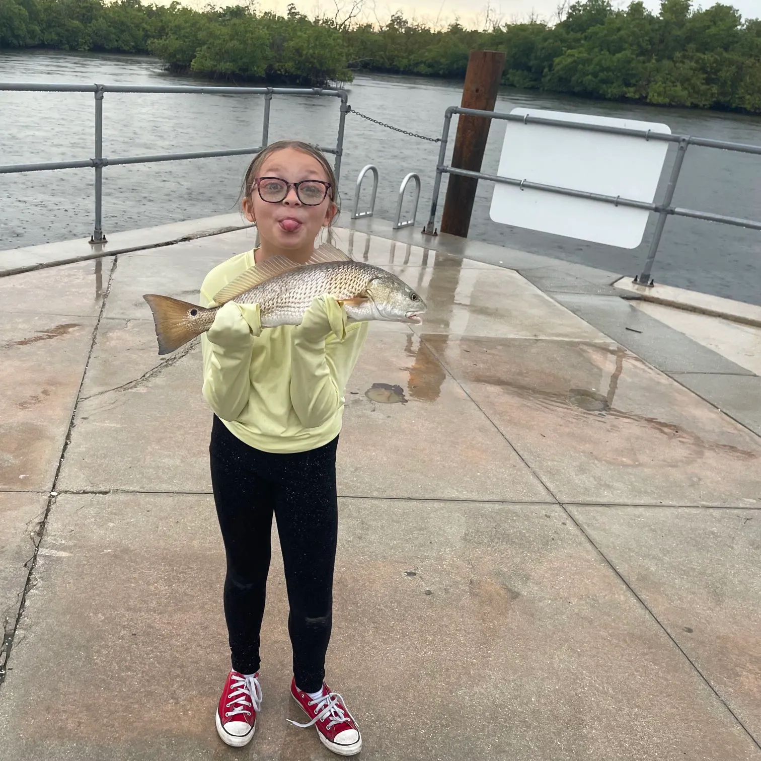
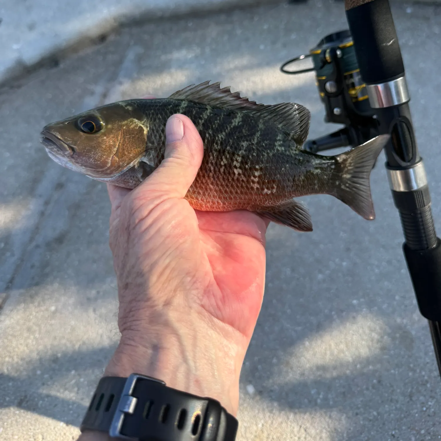
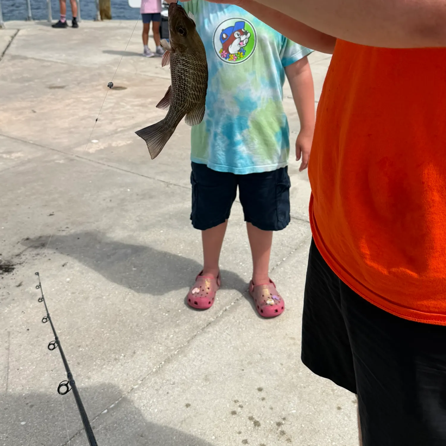
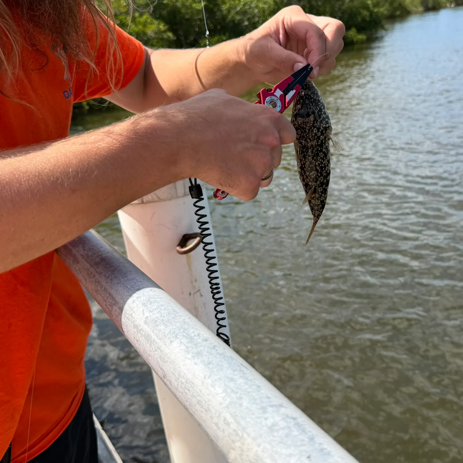
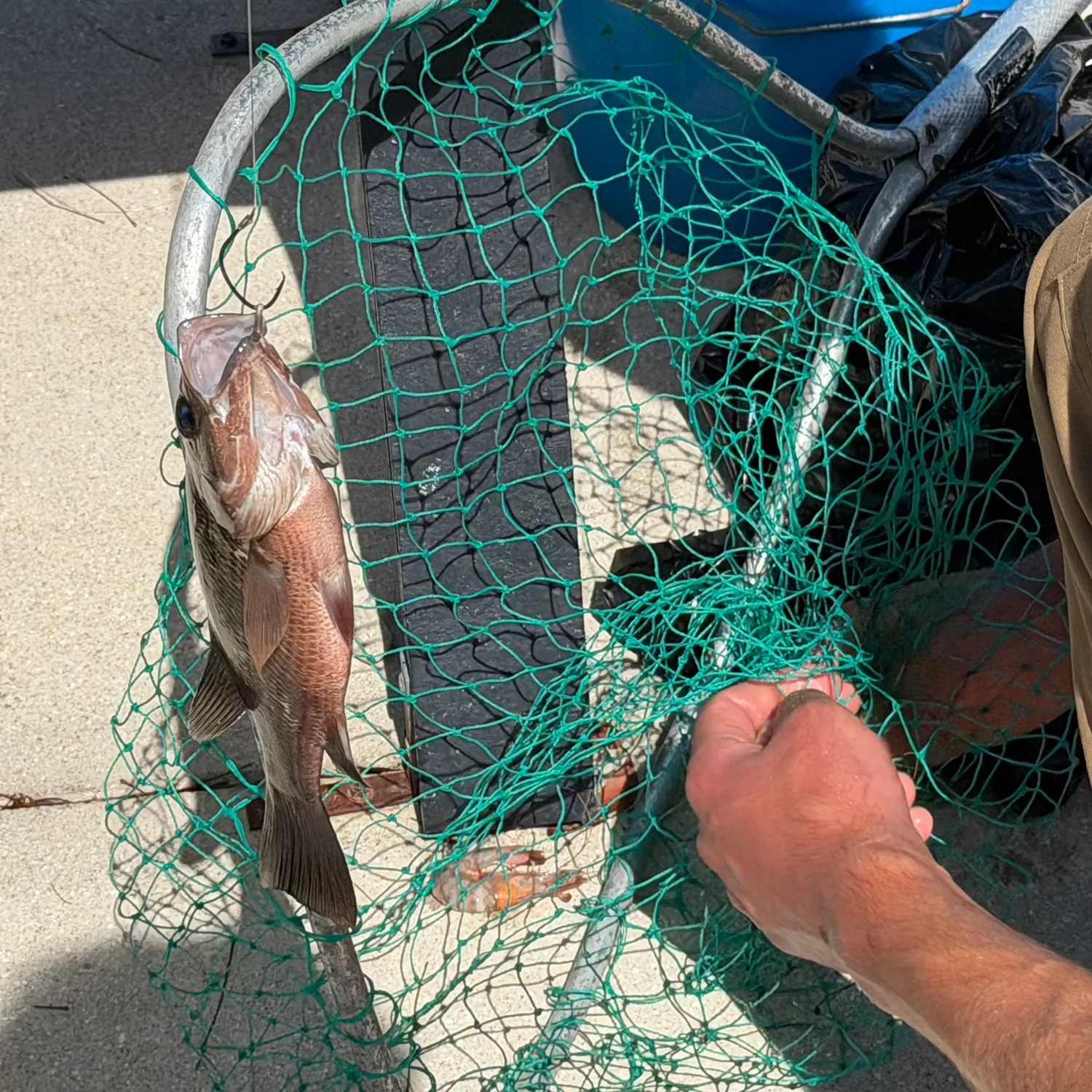
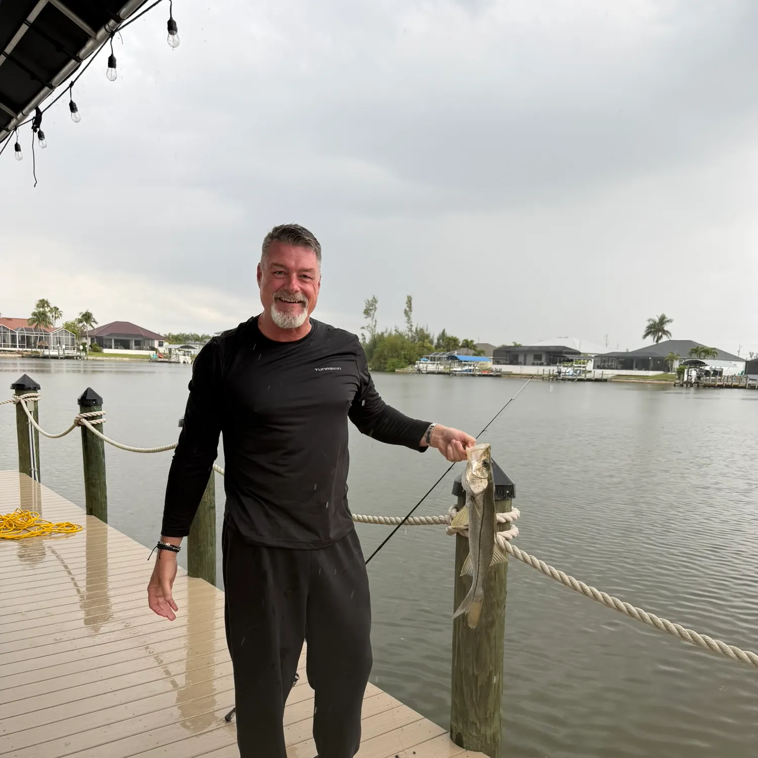
North Spreader Waterway fishing reports

Continue browsing catches and catch locations in the Fishbrain app
When are Snook biting on North Spreader Waterway?
Learn what time of year and day to go fishing at North Spreader Waterway. Download Fishbrain today to look for new fishing spots, scout new fishing access, or prep for your next trip.

Fishing regulations at North Spreader Waterway, FL
Disclaimer: Always check local fishing regulations, water access rights and land ownership before fishing, regardless of any catches logged in that area by the Fishbrain community. Fishbrain has mapped millions of acres of government-owned land across the USA to help you identify potential fishing access, but you are responsible for ensuring compliance with all legal requirements.
Fishing regulations in Florida can change throughout the year. Make sure to check this page before fishing for the most up to date rules and regulations for the current season. Local regulations govern when you can fish, the max size of the fish you can keep, how many fish you can keep, and more.
Regulations for top species
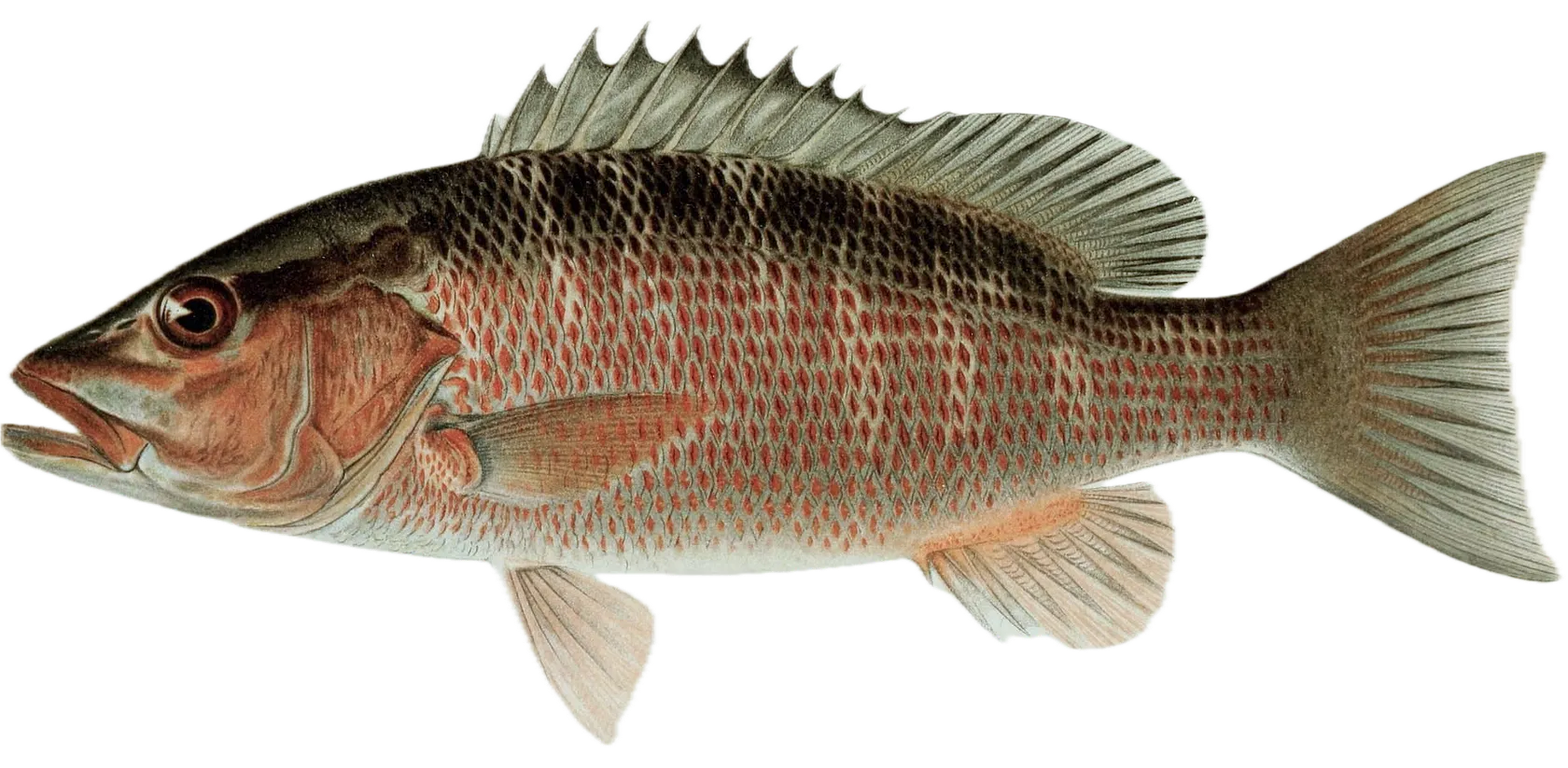
Mangrove snapper
Bag limit5
The maximum number of individual fish legally harvested per harvester per day. Bag limits are only for properly licensed anglers actively harvesting the species. People who are not actively harvesting or are not properly licensed (if a license is required) may NOT be counted for the purpose of bag limits.
Min size10" (Total Length)
No person shall harvest any individual fish less than the minimum size limit.
Total length means the straight line distance from the most forward point of the head with the mouth closed, to the farthest tip of the tail with the tail compressed or squeezed, while the fish is lying on its side.
Aggregate limit10
The maximum number of individual fish across an aggregate group of species legally harvested per harvester per day.
Special gear
Circle Hooks
The use of a dehooking device is required when fishing for reef fish. All persons aboard a vessel harvesting reef fish in the Gulf of Mexico must possess and use non-stainless steel non-offset circle hooks when using natural baits.
Restrictions & requirements
Keep-Whole
Must remain in whole condition until landed ashore - head and tail must be intact.
Descending Device/Venting Tool
Descending device or venting tool rigged and ready is required when fishing for reef fish, and use such device if releasing a fish that suffers from barotrauma. Get descending device gear for FREE by completing a 15-minute training from Return 'Em Right. Get started here: returnemright.org
Additional information
Edibility
Synonyms
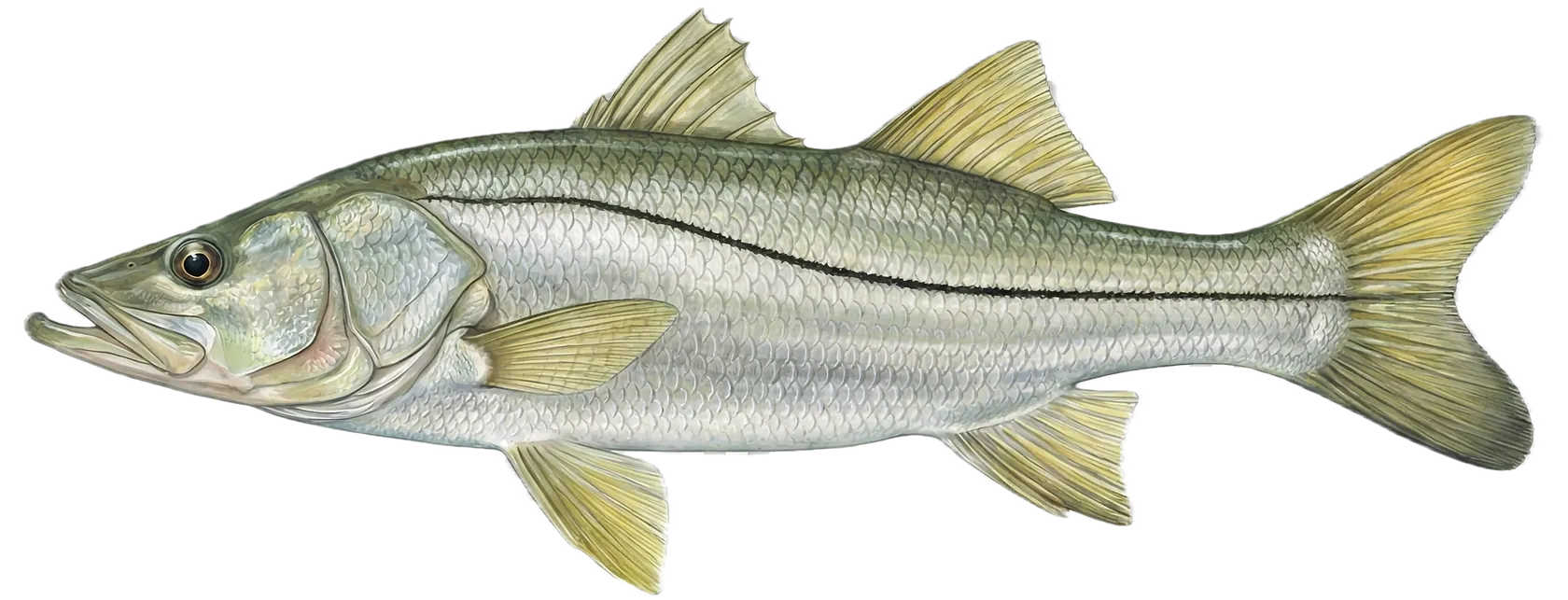
Common snook
Bag limit1
The maximum number of individual fish legally harvested per harvester per day. Bag limits are only for properly licensed anglers actively harvesting the species. People who are not actively harvesting or are not properly licensed (if a license is required) may NOT be counted for the purpose of bag limits.
Min size28" (Total Length)
No person shall harvest any individual fish less than the minimum size limit.
Total length means the straight line distance from the most forward point of the head with the mouth closed, to the farthest tip of the tail with the tail compressed or squeezed, while the fish is lying on its side.
Max size33" (Total Length)
No person shall harvest any individual fish greater than the maximum size except as permitted.
Total length means the straight line distance from the most forward point of the head with the mouth closed, to the farthest tip of the tail with the tail compressed or squeezed, while the fish is lying on its side.
Restrictions & requirements
Gigging
Harvest by gigging prohibited.
Snagging
Harvest of this species by snagging (snatch hooking) is prohibited.
Spears
Harvest of this species by "spearing" is prohibited. Spearing includes the catching or taking of a fish by bow hunting, gigging, spearfishing, or by any device used to capture a fish by piercing the body.
Multiple Hooks
Harvest of this species by or with the use of any multiple hooks in conjunction with live or dead natural bait is prohibited.
Zero Bag for Captain
Bag and possession limit for captains and crew on for-hire vessels is zero.
Hook & Line Only
Allowable gear: hook and line.
Keep-Whole
Must remain in whole condition until landed ashore - head and tail must be intact.
Required licenses
Additional information
Edibility
Synonyms
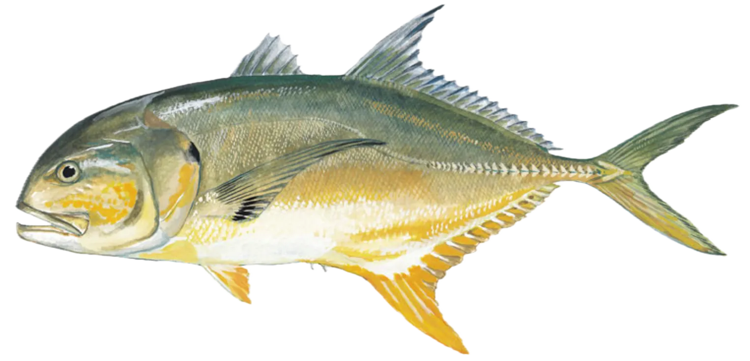
Crevalle jack
Special gear
Circle Hooks
The use of a dehooking device is required when fishing for reef fish. All persons aboard a vessel harvesting reef fish in the Gulf of Mexico must possess and use non-stainless steel non-offset circle hooks when using natural baits.
Additional information
Edibility
Synonyms


Free trial available