
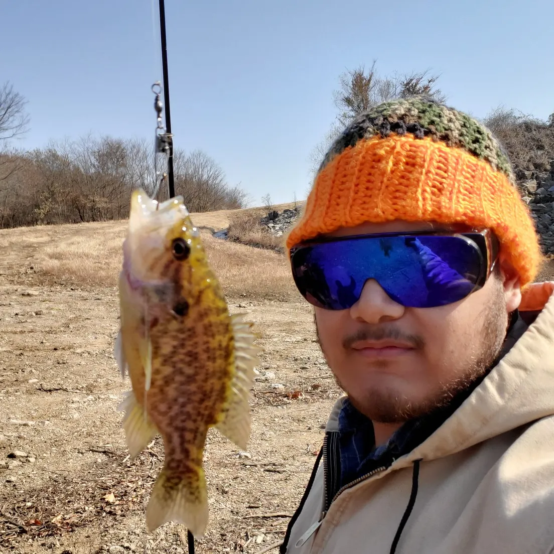
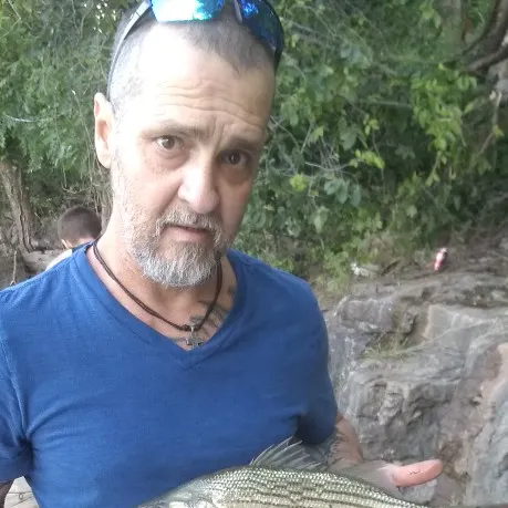
Logged catches
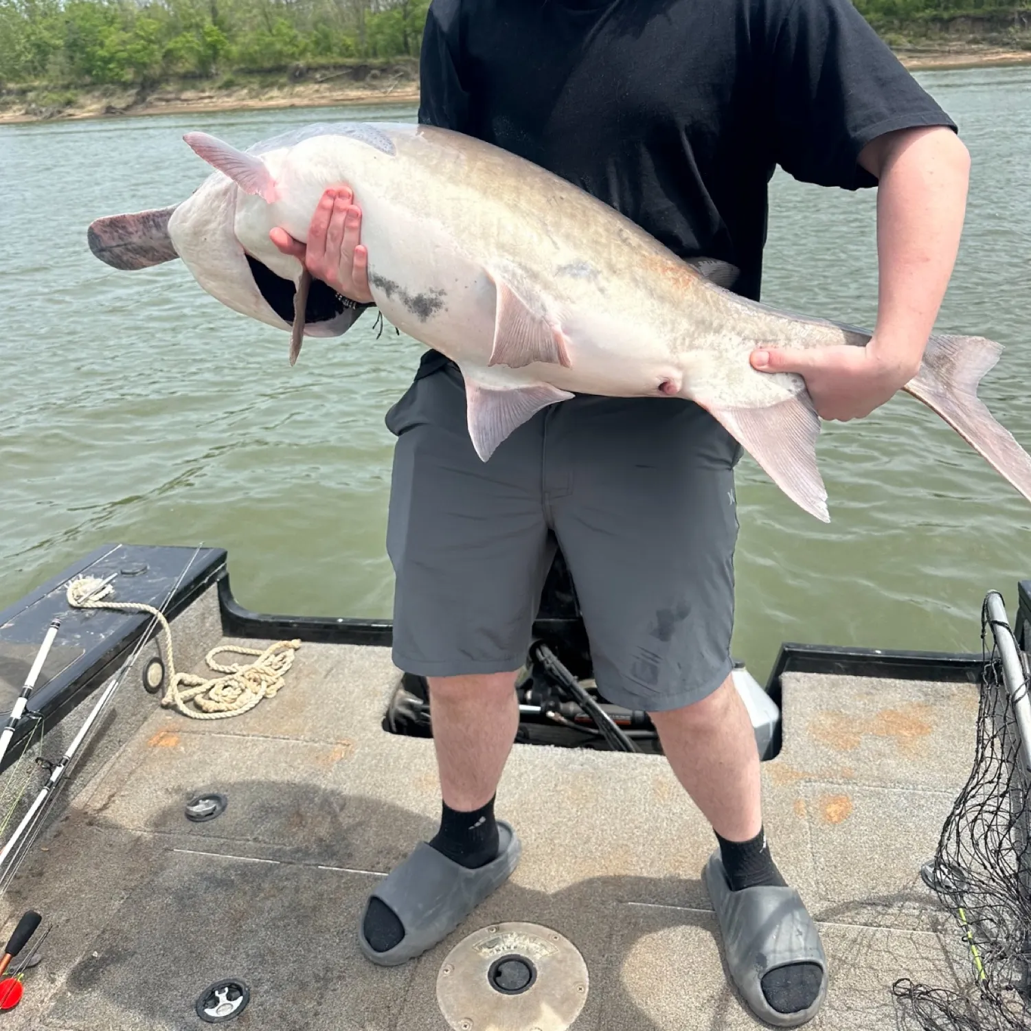
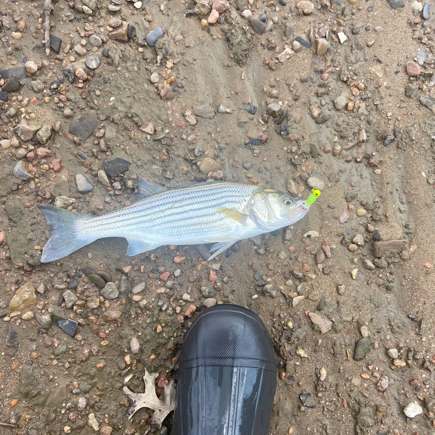
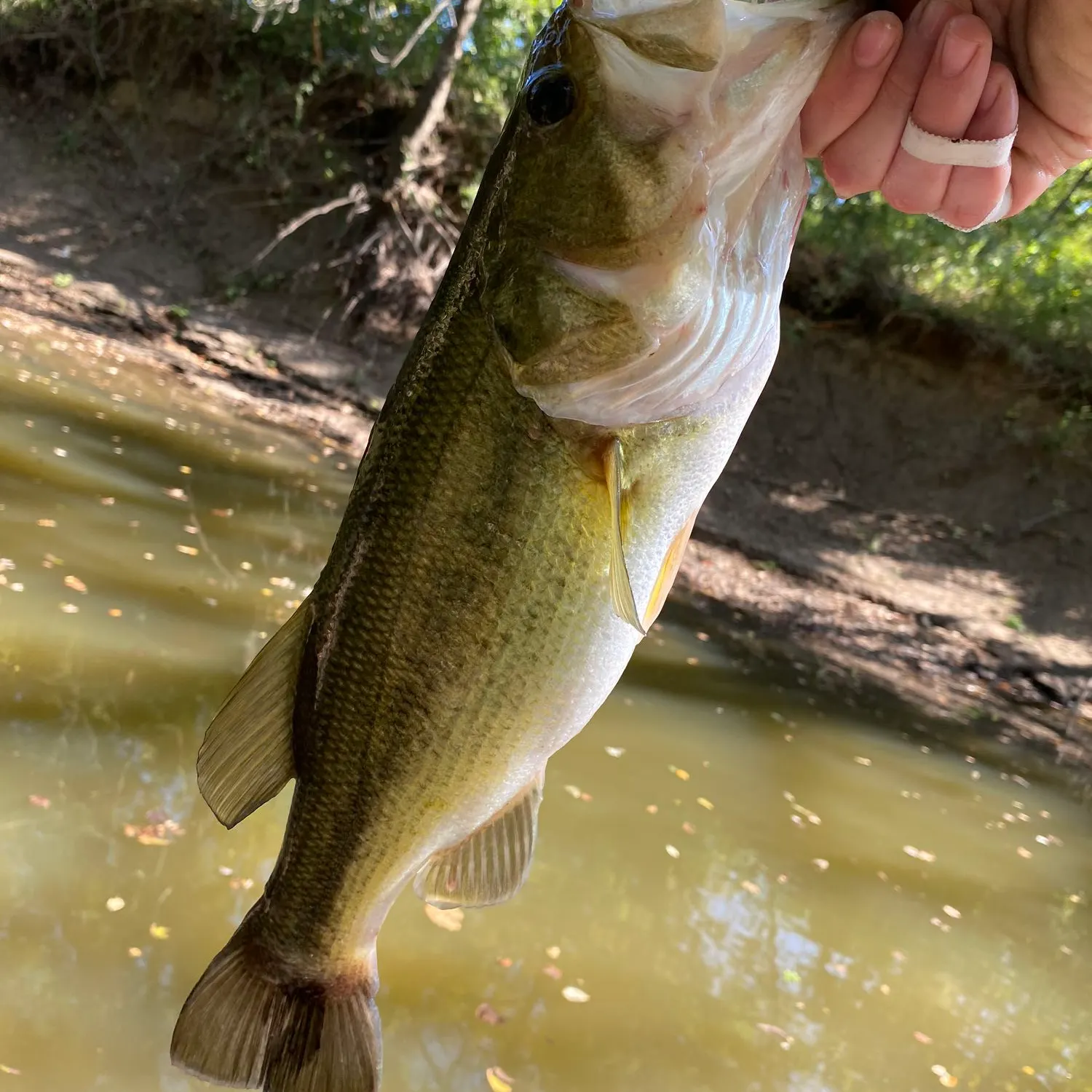
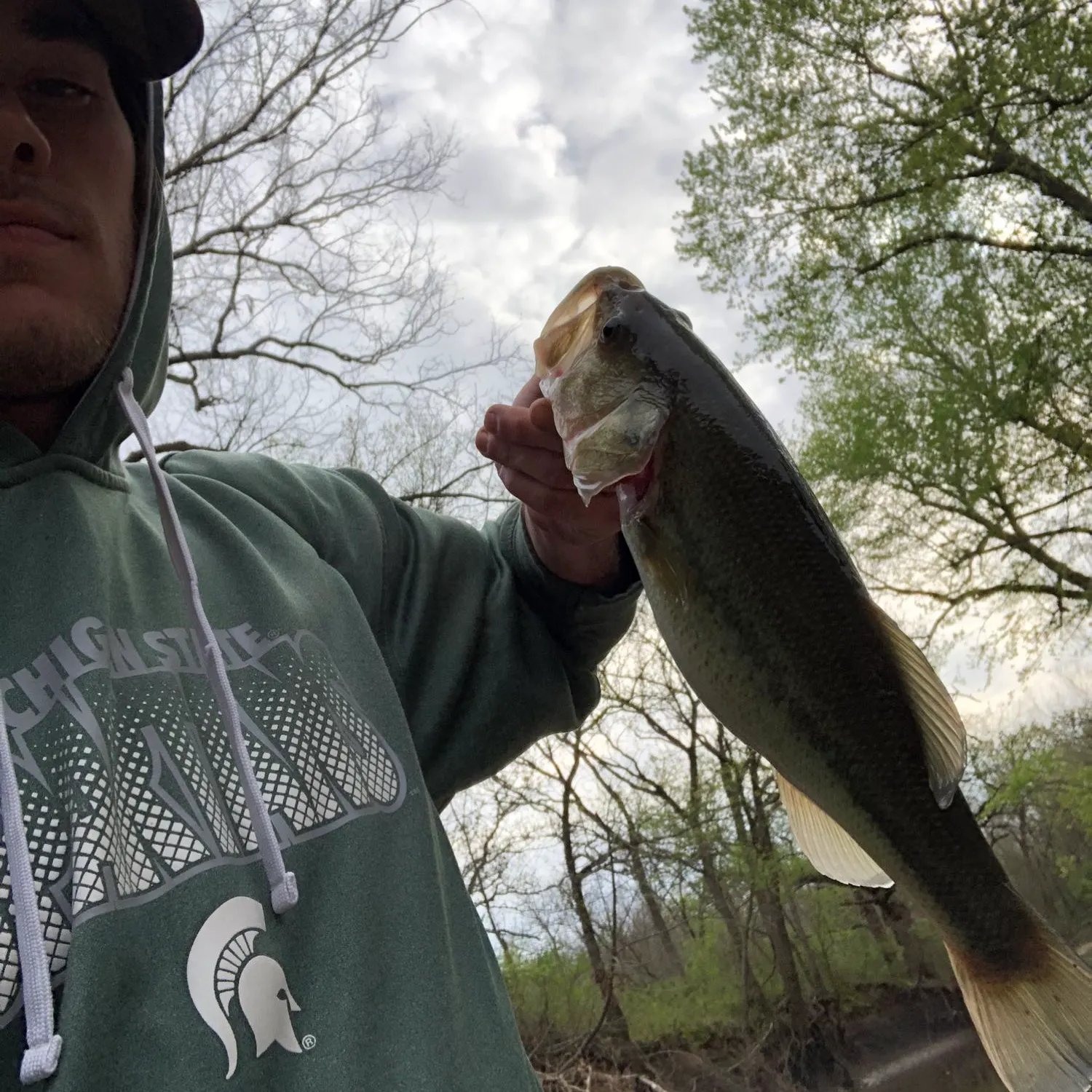
Top fish species at Chouteau Creek

Check which species have trophy potential in Chouteau Creek
Chouteau Creek fishing reports

Continue browsing catches and catch locations in the Fishbrain app
When are Largemouth Bass biting on Chouteau Creek?
Learn what time of year and day to go fishing at Chouteau Creek. Download Fishbrain today to look for new fishing spots, scout new fishing access, or prep for your next trip.

Fishing regulations at Chouteau Creek, OK
Disclaimer: Always check local fishing regulations, water access rights and land ownership before fishing, regardless of any catches logged in that area by the Fishbrain community. Fishbrain has mapped millions of acres of government-owned land across the USA to help you identify potential fishing access, but you are responsible for ensuring compliance with all legal requirements.
Fishing regulations in Oklahoma can change throughout the year. Make sure to check this page before fishing for the most up to date rules and regulations for the current season. Local regulations govern when you can fish, the max size of the fish you can keep, how many fish you can keep, and more.
Regulations for top species

Largemouth bass
Bag limit6
The maximum number of individual fish legally harvested per harvester per day. Bag limits are only for properly licensed anglers actively harvesting the species. People who are not actively harvesting or are not properly licensed (if a license is required) may NOT be counted for the purpose of bag limits.
Aggregate limit6
The maximum number of individual fish across an aggregate group of species legally harvested per harvester per day.
Memorable / trophy limits1 > 16
The maximum number of trophy individuals legally harvested per harvester per day. A trophy is any individual of a length greater than the max size limit. Trophy individuals are included in the daily bag limit unless stated otherwise.
RequirementKeep intact
In waters where minimum-length or slot-size limits apply, game fish may not be filleted, nor their head or tail fin removed until the angler has completed fishing for the day.
Restrictions & requirements
No Gaff Hooks
The use of "Gaff Hooks", or the use of any other technique or device that severely injures the fish, to assist in landing paddlefish, is prohibited, except while bowfishing.
Keep Intact
In waters where minimum-length or slot-size limits apply, game fish may not be filleted, nor their head or tail fin removed until the angler has completed fishing for the day.
Additional information
In rivers and streams: black bass (largemouth, smallmouth, and spotted): six combined per day, only one of which may be a smallmouth bass. Largemouth and smallmouth bass must be 14 inches or longer. No size limit on spotted bass.
Doc Hollis Lake: harvest of largemouth bass is prohibited.
Lake Texoma: largemouth bass and smallmouth bass minimum size = 14-inches; bag limit = 5 largemouth bass and/or smallmouth bass in aggregate.
Edibility
Synonyms
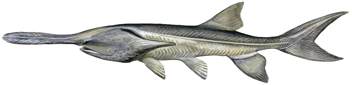
Paddlefish
Bag limit1
The maximum number of individual fish legally harvested per harvester per day. Bag limits are only for properly licensed anglers actively harvesting the species. People who are not actively harvesting or are not properly licensed (if a license is required) may NOT be counted for the purpose of bag limits.
Special gear
OK Paddlefish
The catch and release of paddlefish is permitted by use of rod and reel, trotline and throwlines.
Restrictions & requirements
No Gaff Hooks
The use of "Gaff Hooks", or the use of any other technique or device that severely injures the fish, to assist in landing paddlefish, is prohibited, except while bowfishing.
Required licenses
Additional information
Barbless Hooks ONLY
One rod and reel per angler.
Daily Limit: One paddlefish.
Annual Limit: Two paddlefish.
MUST E-Check all harvested fish within 24 hours (E-Check at gooutdoorsoklahoma.com).
Fish kept must be tagged immediately with angler's customer ID number.
Once a fish is kept, it CANNOT be released (no culling).
Once a fish is kept, angler MUST stop fishing (snagging) for the day.
Paddlefish angling by all methods is closed on the Spring River from the State Highway 60 bridge upstream to the Kansas line. Snagging prohibited from 10 p.m. to 6 a.m. east of I-35 and north of I-40, except the Miami City Park.
Snagging is closed for one mile below Eufaula Dam.
When snagging for paddlefish, anglers are allowed only one single hook or one treble hook. All hooks must have barbs removed or completely closed. When landing a paddlefish, it is illegal to use gaff hooks or any technique or device that injures the fish, unless the angler is bowfishing.
Residents and nonresidents, regardless of age or exemption status, must obtain a free paddlefish permit, annually (permits expire on Dec. 31); permit must be carried on person (electronic or hardcopy).
Residents and nonresidents may have one paddlefish in their possession in the field. Nonresidents may possess no more than the annual harvest limit at any other time.
Catch and release of paddlefish by use of rod and reel, trotlines and throwlines is allowed, year-round. Paddlefish must be released immediately after being caught, unless kept for the daily limit. Anglers fishing trotlines or throwlines must release all paddlefish before leaving their lines (unless keeping one for a daily limit).
Paddlefish taken by bowfishing, gigs, spears and spearguns cannot be released.
Each cleaned paddlefish and its parts (carcass, meat or eggs) must be tagged and kept separate from all other cleaned paddlefish or paddlefish parts. Each person must keep their paddlefish distinctly separate from paddlefish taken by others. Paddlefish and paddlefish parts must remain tagged until the person in possession of the same reaches their residence.
No person can possess eggs (attached to the egg membrane) of more than one paddlefish. No person can possess more than 3 pounds of processed paddlefish eggs or fresh paddlefish eggs removed from the membrane. Processed eggs are any eggs taken from a paddlefish that have gone through a process that turns the eggs into caviar or into a caviar-like product.
No person can ship into or out of, transport into or out of, have in possession with the intent to so transport, or cause to be removed from this state, raw unprocessed, processed or frozen paddlefish eggs.
All paddlefish must have all internal organs removed before leaving the state.
Check Paddlefish Regulations for additional paddlefish regulations.
Edibility
Synonyms
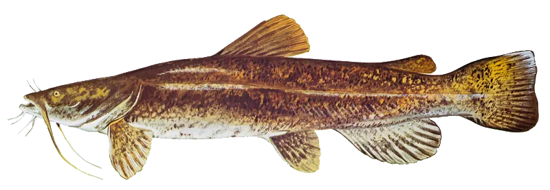
Flathead catfish
Bag limit5
The maximum number of individual fish legally harvested per harvester per day. Bag limits are only for properly licensed anglers actively harvesting the species. People who are not actively harvesting or are not properly licensed (if a license is required) may NOT be counted for the purpose of bag limits.
Restrictions & requirements
No Gaff Hooks
The use of "Gaff Hooks", or the use of any other technique or device that severely injures the fish, to assist in landing paddlefish, is prohibited, except while bowfishing.
OK Noodling
Noodling is the taking of non-game fish and catfish by use of hands only. Possession of hooks, gaff hooks, spears, poles with hooks attached or ropes with hooks attached while in the act of noodling shall be proof of violation of the "hands only" noodling law. Noodling shall be lawful year-round in all waters during day-light hours only unless restricted under "Public Fishing Waters" special regulations.
Edibility
Synonyms


Free trial available