
Top fish species at North Fork White River

Check which species have trophy potential in North Fork White River
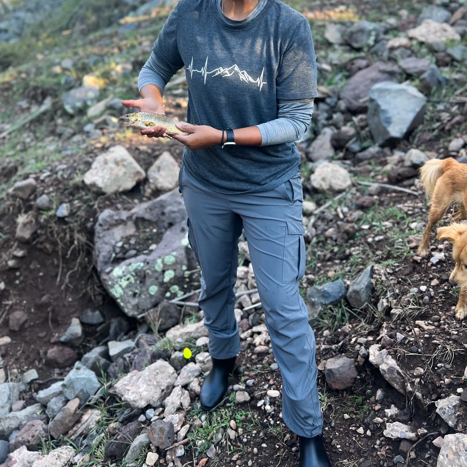
North Fork White River fishing reports

Continue browsing catches and catch locations in the Fishbrain app
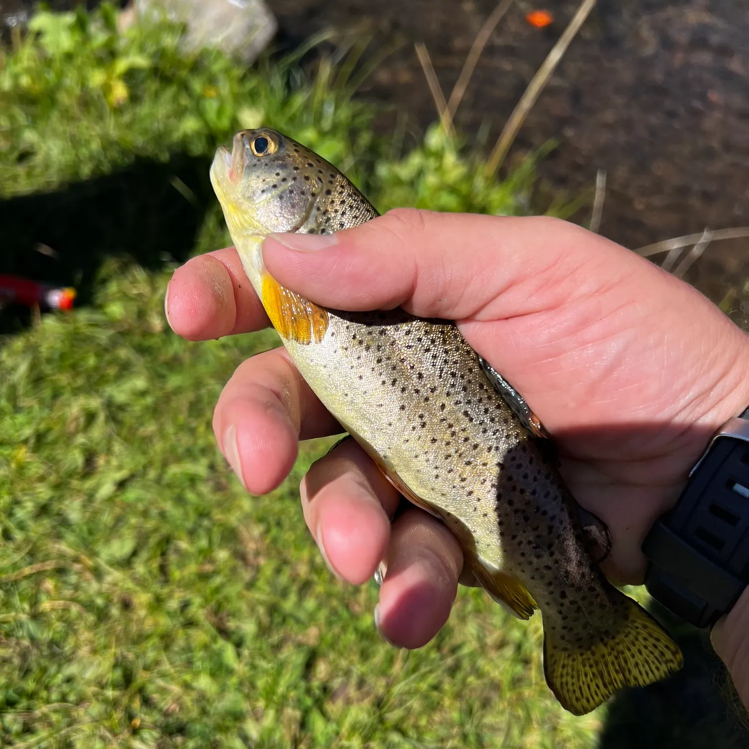
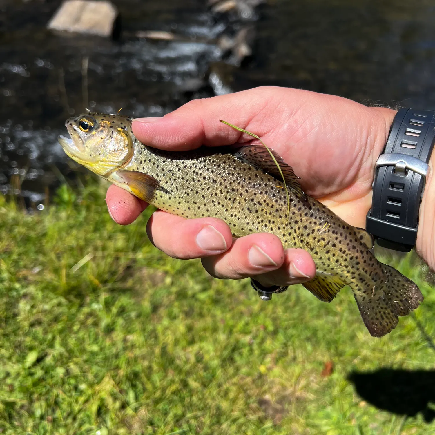
When are Brown trout biting on North Fork White River?
Learn what time of year and day to go fishing at North Fork White River. Download Fishbrain today to look for new fishing spots, scout new fishing access, or prep for your next trip.

Fishing regulations at North Fork White River, AZ
Disclaimer: Always check local fishing regulations, water access rights and land ownership before fishing, regardless of any catches logged in that area by the Fishbrain community. Fishbrain has mapped millions of acres of government-owned land across the USA to help you identify potential fishing access, but you are responsible for ensuring compliance with all legal requirements.
Fishing regulations in Arizona can change throughout the year. Make sure to check this page before fishing for the most up to date rules and regulations for the current season. Local regulations govern when you can fish, the max size of the fish you can keep, how many fish you can keep, and more.
Regulations for top species
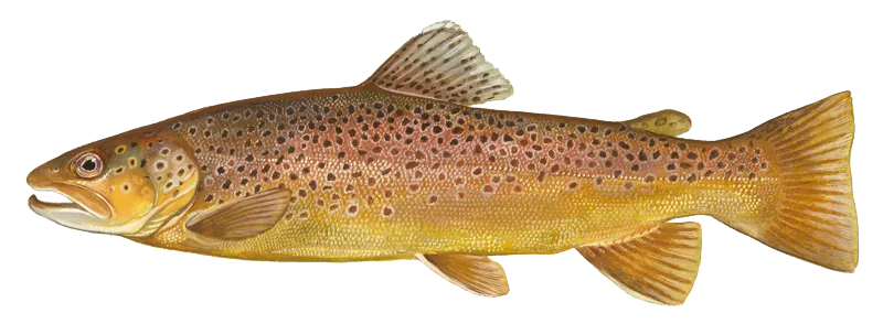
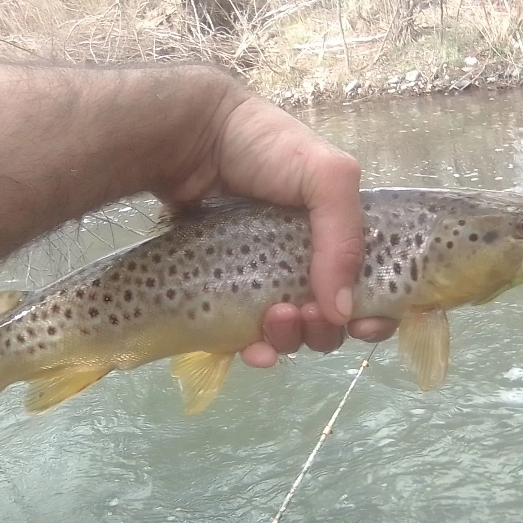
Brown trout
Bag limit4
The maximum number of individual fish legally harvested per harvester per day. Bag limits are only for properly licensed anglers actively harvesting the species. People who are not actively harvesting or are not properly licensed (if a license is required) may NOT be counted for the purpose of bag limits.
Aggregate limit4
The maximum number of individual fish across an aggregate group of species legally harvested per harvester per day.
Special gear
AZ Methods
Hook and Line Methods• All new fishing and combo licenses allow the angler to fish with two poles or lines simultaneously. In no case are more than two lines allowed to be used at the same time.• "Angling" means the taking of fish by one line and not to exceed two hooks, by one line and one artificial lure, which may have attached more than one hook, or by one line and not to exceed two artificial flies or lures.• Fishing lines must be constantly attended and in immediate control.• The hook, fly or lure must be used in such a manner that the fish voluntarily attempts to take it in its mouth.• A single-pointed barbless hook is a fish hook with a single point, manufactured without barbs on or which barbs have been completely closed or removed. This does not include a treble hook. Regulations limiting tackle to single-pointed barbless hooks do not eliminate the angler's option for simultaneous fishing as defined. Anglers may use a single line with no more than two single hooks, as with a primary hook and a dropper hook or fly.Artificial Flies and Lures• "Artificial flies and lures" means manmade devices intended as visual attractants to catch fish. Artificial flies and lures does not include living or dead organisms or edible parts of those organisms, natural or prepared food stuffs, or chemicals or organic materials intended to create a scent, flavor, or chemical stimulant to the device regardless of whether it is added or applied during or after the manufacturing process.• Check the Special Regulations to determine if hooks must also be single- pointed barbless hook only.Other Fishing Methods• Bow and arrow, crossbow, snare, gig, spear or spear gun, or snagging are valid methods for taking common carp, buffalofish, mullet, tilapia, goldfish, and shad statewide unless a closure or Special Regulation restricts it.• Bow and arrow fishing for catfish (5 catfish daily bag limit, any combination) is valid at Apache Lake, Canyon Lake and Saguaro Lake.Capturing Baitfish and Crayfish for Bait• Live baitfish may be used only in areas approved for certain species.• Live bait may be taken by minnow trap, dip net, cast net, pole and line, handline, crayfish net or seine.• Cast nets shall not exceed a 4-foot radius (or an 8-foot diameter).• Seine nets shall not exceed 10 feet in length and 4 feet in width.• Except for sunfish of the genus Lepomis, the flesh of gamefish may not be used as bait.• Landing nets or dip nets may be used for the capture of legal baitfish or crayfish or only to land a legally hooked fish.• Any unattended traps or devices used to catch or hold aquatic wildlife or fish
Additional information
No size limit.
These regulations apply statewide unless Site-Specific Special Regulations apply to that body of water. Click here to see Site-Specific Special Regulations Statewide includes all state and federal refuges, parks and monuments; open areas do not include any area closed to hunting, fishing, or trapping.
CATCH AND RELEASE artificial flies and lures only, single-pointed barbless hooks:
- Aker Lake
- Becker Lake
- Burro Creek — May 1 through Dec. 31
- Canyon Creek-OW Bridge to the Fort Apache Reservation Boundary
- Coyote Creek
- Dude Creek — May 1 through Dec. 31
- East Fork, Little Colorado River-above Colter Dam — May 1 through Dec. 31
- East Verde River-origin to the pumphouse
- Elk Tank
- Grant Creek – Pinaleno Mountains
- Grapevine Creek — May 1 through Dec. 31
- Horton Creek
- J.D. Dam
- Mamie Creek
- Middle Tank
- Perkins Tank
- River Reservoir — Oct. 1 through April 30
- Silver Creek — Oct. 1 through March 31
- Thompson Creek — May 1 through Dec. 31
- West Fork Black River- Hayground Creek to Fort Apache Reservation Boundary — May 1 through Dec. 31
CATCH AND RELEASE artificial flies and lures only, barbless hooks:
- Oak Creek-West Fork Oak Creek
CATCH AND RELEASE artificial flies and lures only:
- Lower Goldwater
2 TROUT LIMIT artificial flies and lures only:
- Carnero Lake
- Chevelon Canyon Lake
- Chevelon Creek, from the Confluence with Willow Springs Creek to Chevelon Crossing
- Lees Ferry
- Lee Valley Creek
- Lee Valley Lake
2 TROUT LIMIT:
- Alamar Park Pond
- Bonsall Pond
- Community fishing ponds
- Council Avenue Pond
- Dave White Regional Park Pond
- Discovery Park Ponds
- Eastmark Park Pond
- Eldorado Park Pond
- Evelyn Hallman Pond
- Festival Fields Pond
- Freestone Pond
- Friendship Pond
- Frye Mesa Reservoir
- Gilbert Regional Park Pond
- Graham County Fairgrounds Pond
- Greenfield Park Pond
- Heroes Regional Park Pond
- McQueen Pond
- Pacana Pond
- Pacific Avenue Athletic Complex Ponds
- Papago Park Ponds
- Patterson Ponds
- Rio Vista Park Pond
- Roadrunner Park Pond
- Show Low Creek Meadow
- Steele Indian School Park Pond
- Water Ranch Park Lake (barbless hooks only)
- West Wetlands Pond
4 TROUT LIMIT:
- Community fishing lakes
5 TROUT LIMIT:
- Colorado River-Separation Canyon to the California/Nevada Boundary, including Lake Mead and Lake Mohave
10 TROUT LIMIT:
- Colorado River-California/Nevada Boundary to the International Boundary
UNLIMITED TROUT REGULATIONS:
- Colorado River-Navajo Bridge to Separation Canyon
SEASONAL UNLIMITED TROUT REGULATIONS SEPT. 1 – MARCH 31 ANNUALLY:
- Chevelon Creek-Chevelon Crossing to the confluence with the Little Colorado River
- East Clear Creek
- Nutrioso Creek
Edibility
Synonyms
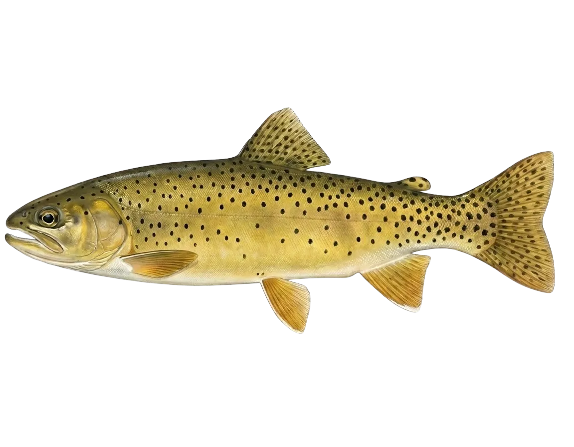
Apache trout
Bag limit4
The maximum number of individual fish legally harvested per harvester per day. Bag limits are only for properly licensed anglers actively harvesting the species. People who are not actively harvesting or are not properly licensed (if a license is required) may NOT be counted for the purpose of bag limits.
Aggregate limit4
The maximum number of individual fish across an aggregate group of species legally harvested per harvester per day.
Special gear
AZ Methods
Hook and Line Methods• All new fishing and combo licenses allow the angler to fish with two poles or lines simultaneously. In no case are more than two lines allowed to be used at the same time.• "Angling" means the taking of fish by one line and not to exceed two hooks, by one line and one artificial lure, which may have attached more than one hook, or by one line and not to exceed two artificial flies or lures.• Fishing lines must be constantly attended and in immediate control.• The hook, fly or lure must be used in such a manner that the fish voluntarily attempts to take it in its mouth.• A single-pointed barbless hook is a fish hook with a single point, manufactured without barbs on or which barbs have been completely closed or removed. This does not include a treble hook. Regulations limiting tackle to single-pointed barbless hooks do not eliminate the angler's option for simultaneous fishing as defined. Anglers may use a single line with no more than two single hooks, as with a primary hook and a dropper hook or fly.Artificial Flies and Lures• "Artificial flies and lures" means manmade devices intended as visual attractants to catch fish. Artificial flies and lures does not include living or dead organisms or edible parts of those organisms, natural or prepared food stuffs, or chemicals or organic materials intended to create a scent, flavor, or chemical stimulant to the device regardless of whether it is added or applied during or after the manufacturing process.• Check the Special Regulations to determine if hooks must also be single- pointed barbless hook only.Other Fishing Methods• Bow and arrow, crossbow, snare, gig, spear or spear gun, or snagging are valid methods for taking common carp, buffalofish, mullet, tilapia, goldfish, and shad statewide unless a closure or Special Regulation restricts it.• Bow and arrow fishing for catfish (5 catfish daily bag limit, any combination) is valid at Apache Lake, Canyon Lake and Saguaro Lake.Capturing Baitfish and Crayfish for Bait• Live baitfish may be used only in areas approved for certain species.• Live bait may be taken by minnow trap, dip net, cast net, pole and line, handline, crayfish net or seine.• Cast nets shall not exceed a 4-foot radius (or an 8-foot diameter).• Seine nets shall not exceed 10 feet in length and 4 feet in width.• Except for sunfish of the genus Lepomis, the flesh of gamefish may not be used as bait.• Landing nets or dip nets may be used for the capture of legal baitfish or crayfish or only to land a legally hooked fish.• Any unattended traps or devices used to catch or hold aquatic wildlife or fish
Additional information
No size limit.
These regulations apply statewide unless Site-Specific Special Regulations apply to that body of water. Click here to see Site-Specific Special Regulations Statewide includes all state and federal refuges, parks and monuments; open areas do not include any area closed to hunting, fishing, or trapping.
CATCH AND RELEASE artificial flies and lures only, single-pointed barbless hooks:
- Aker Lake
- Becker Lake
- Burro Creek — May 1 through Dec. 31
- Canyon Creek-OW Bridge to the Fort Apache Reservation Boundary
- Coyote Creek
- Dude Creek — May 1 through Dec. 31
- East Fork, Little Colorado River-above Colter Dam — May 1 through Dec. 31
- East Verde River-origin to the pumphouse
- Elk Tank
- Grant Creek – Pinaleno Mountains
- Grapevine Creek — May 1 through Dec. 31
- Horton Creek
- J.D. Dam
- Mamie Creek
- Middle Tank
- Perkins Tank
- River Reservoir — Oct. 1 through April 30
- Silver Creek — Oct. 1 through March 31
- Thompson Creek — May 1 through Dec. 31
- West Fork Black River- Hayground Creek to Fort Apache Reservation Boundary — May 1 through Dec. 31
CATCH AND RELEASE artificial flies and lures only, barbless hooks:
- Oak Creek-West Fork Oak Creek
CATCH AND RELEASE artificial flies and lures only:
- Lower Goldwater
2 TROUT LIMIT artificial flies and lures only:
- Carnero Lake
- Chevelon Canyon Lake
- Chevelon Creek, from the Confluence with Willow Springs Creek to Chevelon Crossing
- Lees Ferry
- Lee Valley Creek
- Lee Valley Lake
2 TROUT LIMIT:
- Alamar Park Pond
- Bonsall Pond
- Community fishing ponds
- Council Avenue Pond
- Dave White Regional Park Pond
- Discovery Park Ponds
- Eastmark Park Pond
- Eldorado Park Pond
- Evelyn Hallman Pond
- Festival Fields Pond
- Freestone Pond
- Friendship Pond
- Frye Mesa Reservoir
- Gilbert Regional Park Pond
- Graham County Fairgrounds Pond
- Greenfield Park Pond
- Heroes Regional Park Pond
- McQueen Pond
- Pacana Pond
- Pacific Avenue Athletic Complex Ponds
- Papago Park Ponds
- Patterson Ponds
- Rio Vista Park Pond
- Roadrunner Park Pond
- Show Low Creek Meadow
- Steele Indian School Park Pond
- Water Ranch Park Lake (barbless hooks only)
- West Wetlands Pond
4 TROUT LIMIT:
- Community fishing lakes
5 TROUT LIMIT:
- Colorado River-Separation Canyon to the California/Nevada Boundary, including Lake Mead and Lake Mohave
10 TROUT LIMIT:
- Colorado River-California/Nevada Boundary to the International Boundary
UNLIMITED TROUT REGULATIONS:
- Colorado River-Navajo Bridge to Separation Canyon
SEASONAL UNLIMITED TROUT REGULATIONS SEPT. 1 – MARCH 31 ANNUALLY:
- Chevelon Creek-Chevelon Crossing to the confluence with the Little Colorado River
- East Clear Creek
- Nutrioso Creek
Edibility
Synonyms

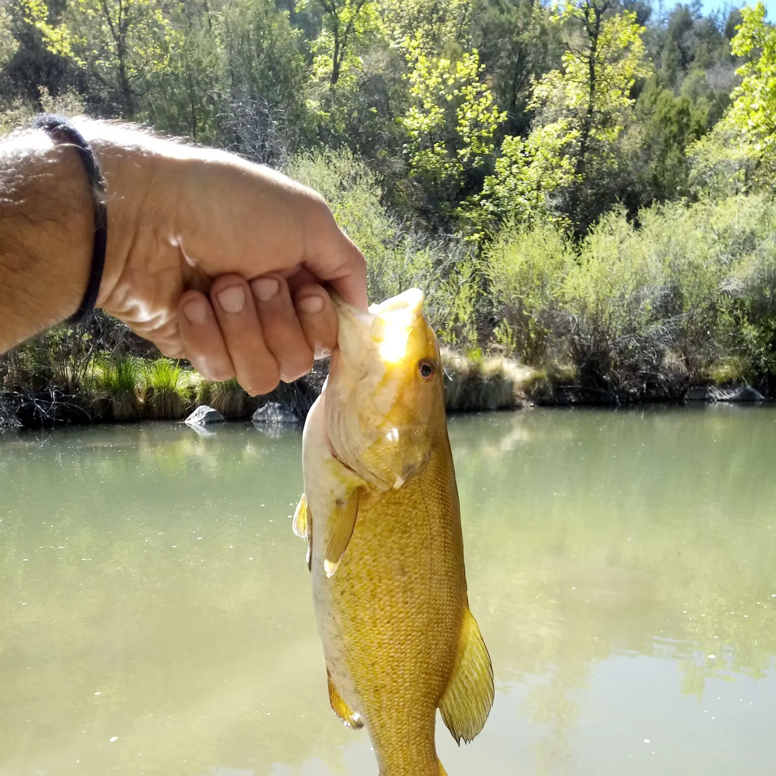
Smallmouth bass
Bag limit6
The maximum number of individual fish legally harvested per harvester per day. Bag limits are only for properly licensed anglers actively harvesting the species. People who are not actively harvesting or are not properly licensed (if a license is required) may NOT be counted for the purpose of bag limits.
Aggregate limit6
The maximum number of individual fish across an aggregate group of species legally harvested per harvester per day.
Special gear
AZ Methods
Hook and Line Methods• All new fishing and combo licenses allow the angler to fish with two poles or lines simultaneously. In no case are more than two lines allowed to be used at the same time.• "Angling" means the taking of fish by one line and not to exceed two hooks, by one line and one artificial lure, which may have attached more than one hook, or by one line and not to exceed two artificial flies or lures.• Fishing lines must be constantly attended and in immediate control.• The hook, fly or lure must be used in such a manner that the fish voluntarily attempts to take it in its mouth.• A single-pointed barbless hook is a fish hook with a single point, manufactured without barbs on or which barbs have been completely closed or removed. This does not include a treble hook. Regulations limiting tackle to single-pointed barbless hooks do not eliminate the angler's option for simultaneous fishing as defined. Anglers may use a single line with no more than two single hooks, as with a primary hook and a dropper hook or fly.Artificial Flies and Lures• "Artificial flies and lures" means manmade devices intended as visual attractants to catch fish. Artificial flies and lures does not include living or dead organisms or edible parts of those organisms, natural or prepared food stuffs, or chemicals or organic materials intended to create a scent, flavor, or chemical stimulant to the device regardless of whether it is added or applied during or after the manufacturing process.• Check the Special Regulations to determine if hooks must also be single- pointed barbless hook only.Other Fishing Methods• Bow and arrow, crossbow, snare, gig, spear or spear gun, or snagging are valid methods for taking common carp, buffalofish, mullet, tilapia, goldfish, and shad statewide unless a closure or Special Regulation restricts it.• Bow and arrow fishing for catfish (5 catfish daily bag limit, any combination) is valid at Apache Lake, Canyon Lake and Saguaro Lake.Capturing Baitfish and Crayfish for Bait• Live baitfish may be used only in areas approved for certain species.• Live bait may be taken by minnow trap, dip net, cast net, pole and line, handline, crayfish net or seine.• Cast nets shall not exceed a 4-foot radius (or an 8-foot diameter).• Seine nets shall not exceed 10 feet in length and 4 feet in width.• Except for sunfish of the genus Lepomis, the flesh of gamefish may not be used as bait.• Landing nets or dip nets may be used for the capture of legal baitfish or crayfish or only to land a legally hooked fish.• Any unattended traps or devices used to catch or hold aquatic wildlife or fish
Additional information
No size limit.
These regulations apply statewide unless Site-Specific Special Regulations apply to that body of water. Click here to see Site-Specific Special Regulations Statewide includes all state and federal refuges, parks and monuments; open areas do not include any area closed to hunting, fishing, or trapping.
CATCH AND RELEASE ONLY:
- Cluff Ranch Ponds
- Crystal Gardens Water Treatment Facility (city of Avondale)
- The Pond at Town Hall (town of Gilbert)
- Water Ranch Park Lake
CATCH AND RELEASE artificial flies and lures only:
- Lower Goldwater
UNLIMITED — NO LIMIT FOR EITHER LARGEMOUTH OR SMALLMOUTH BASS:
- Bear Canyon Lake
- Beaver Creek (Wet and Dry)
- Black Canyon Lake
- CC Cragin Reservoir (Blue Ridge)
- Chevelon Canyon Lake
- Colorado River-Glen Canyon Dam to Separation Canyon
- East Verde River
- Horseshoe Lake
- Knoll Lake
- Long Tom Lake
- Oak Creek
- Upper Salt River (Roosevelt Diversion Dam upstream to the Reservation Boundary)
- Verde River and tributaries
- Virgin River
- West Clear Creek
- Willow Springs Lake
- Woods Canyon Lake
1 BASS LIMIT, MINIMUM SIZE = 13-INCHES:
- Alamar Park Pond
- Bonsall Pond
- Council Avenue Pond
- Dave White Regional Park Pond
- Discovery Park Ponds
- Eastmark Park Pond
- Eldorado Park Pond
- Evelyn Hallman Pond
- Festival Fields Pond
- Freestone Pond
- Friendship Pond
- Gilbert Regional Park Pond
- Goldwater Lake
- Graham County Fairgrounds Pond
- Greenfield Pond
- Heroes Regional Park Pond
- McQueen Pond
- Pacana Park Pond
- Pacific Avenue Athletic Complex Pond
- Papago Park Ponds
- Patterson Ponds (St. Johns)
- Rio Vista Park Pond
- Roadrunner Park Pond
- Show Low Creek Meadow
- Steele Indian School Park Pond
- West Wetlands Pond
1 BASS LIMIT: (no size limit):
- Community fishing ponds: bag limit = 1 bass (largemouth or smallmouth)
2 BASS LIMIT:
- Dead Horse Ranch State Park Lagoons
- Community fishing lakes: bag limit = 2 bass (largemouth or smallmouth)
2 BASS LIMIT, MINIMUM SIZE = 13-INCHES:
- Alvord Lake
- Cataract Lake
- City Reservoir
- Chaparral Park Lake
- Copper Sky Lake
- Cortez Park Lake
- Desert Breeze Park Lake
- Desert West Park Lake
- Dogtown Lake
- Encanto Park Lake
- Fain Lake
- Fortuna Lake
- Francis Short Pond
- Green Valley Park Lakes
- Kaibab Lake
- Kennedy Park Lake
- Kiwanis Park Lake
- Lakeside Lake
- Mansel Carter Oasis Lake
- Paloma Park Lake
- Pioneer Lake
- Red Mountain Park Lake
- Redondo Lake
- Riverview Park Lake
- Santa Fe Reservoir
- Silverbell Lake
- Sahuarita Park Lake
- Stone Dam
- Sundance Park Lake
- Surprise Park Lake
- Tempe Town Lake
- Veterans Oasis Park Lake
- Whitehorse Lake
- Yavapai Lakes
6 BASS LIMIT, MINIMUM SIZE = 13-INCHES:
- Topock Marsh
- Colorado River-Davis Dam to the International Boundary
20 SMALLMOUTH BASS, 5 LARGEMOUTH BASS LIMIT:
- Lake Powell
Synonyms


Free trial available