
Top fish species at Pitts Creek

Check which species have trophy potential in Pitts Creek
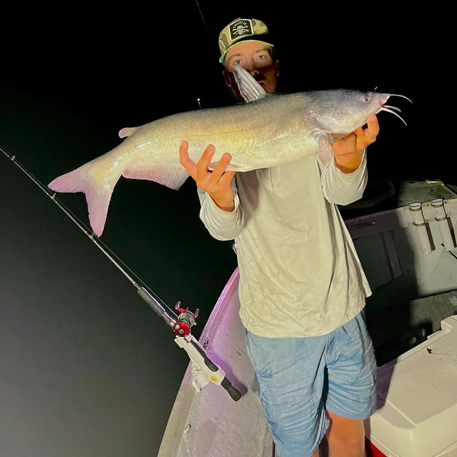
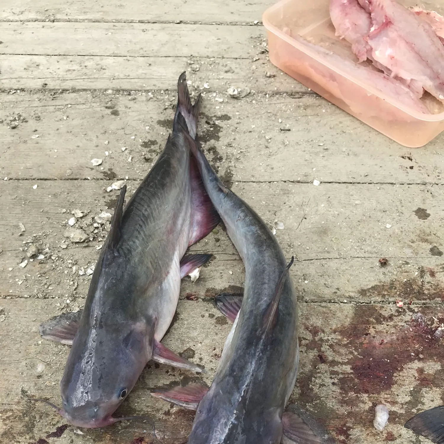
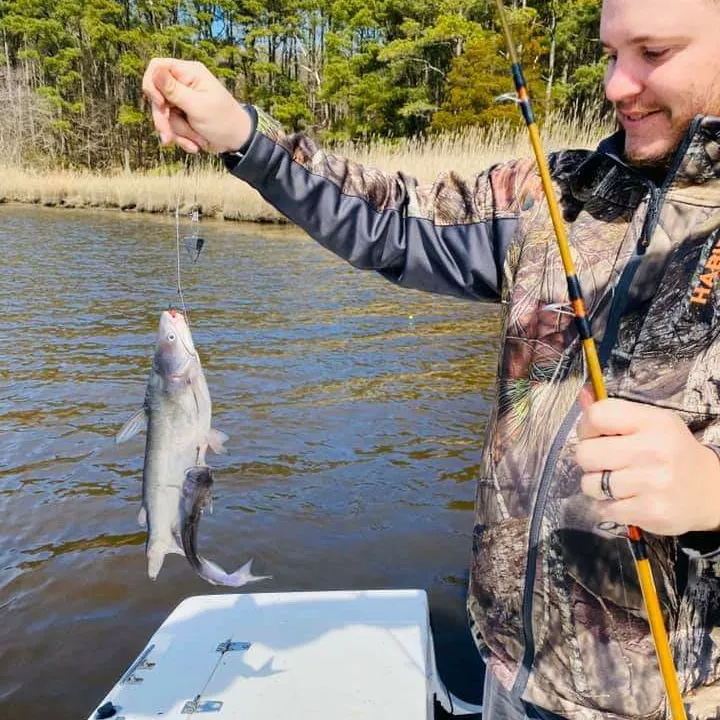
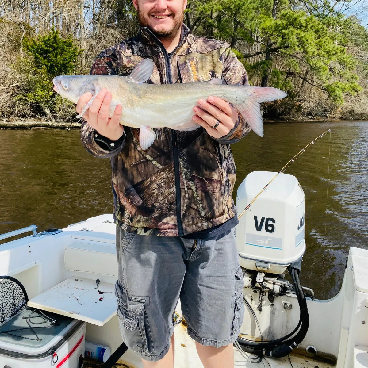
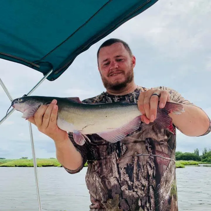
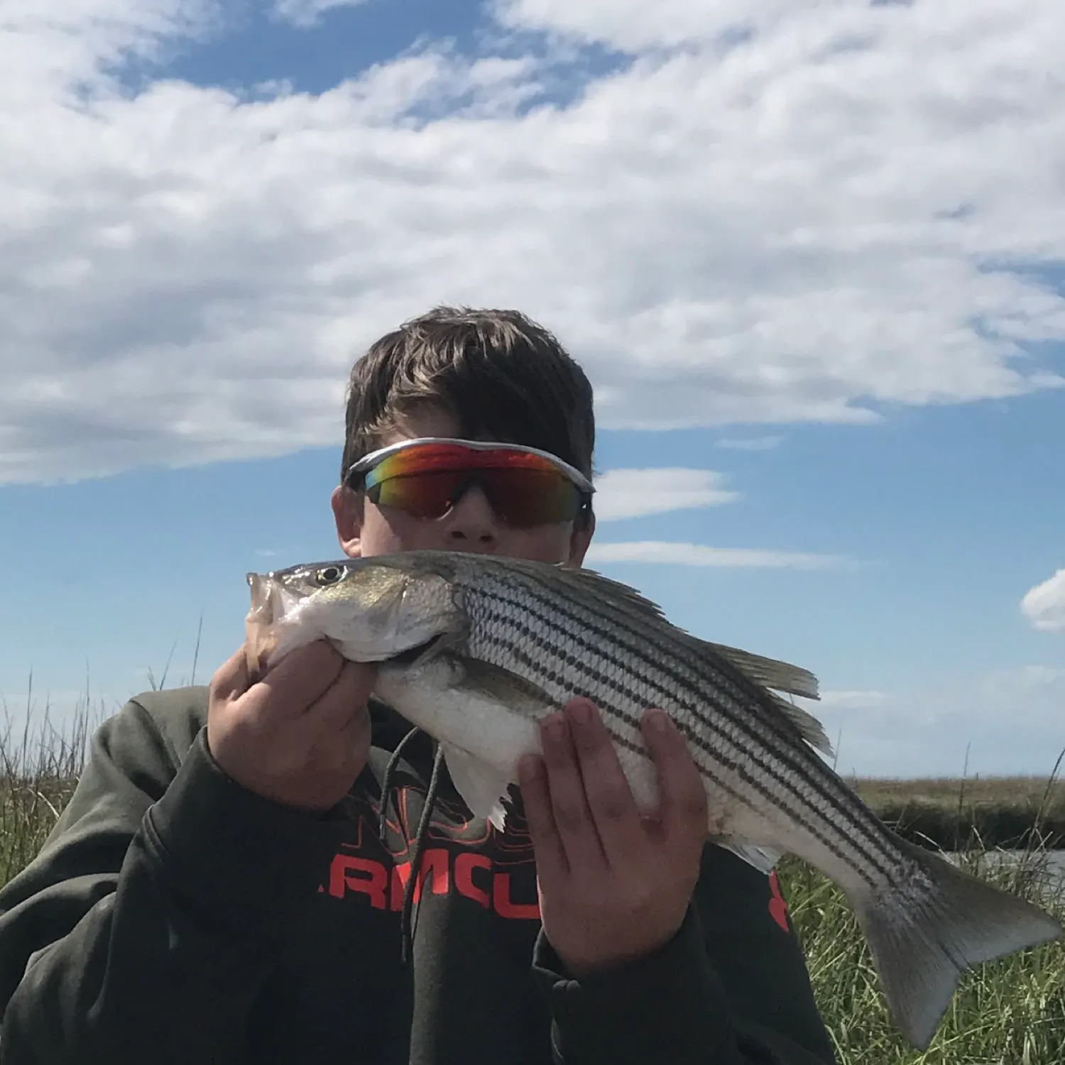
Pitts Creek fishing reports

Continue browsing catches and catch locations in the Fishbrain app
When are Striped Bass biting on Pitts Creek?
Learn what time of year and day to go fishing at Pitts Creek. Download Fishbrain today to look for new fishing spots, scout new fishing access, or prep for your next trip.

Fishing regulations at Pitts Creek, VA
Disclaimer: Always check local fishing regulations, water access rights and land ownership before fishing, regardless of any catches logged in that area by the Fishbrain community. Fishbrain has mapped millions of acres of government-owned land across the USA to help you identify potential fishing access, but you are responsible for ensuring compliance with all legal requirements.
Fishing regulations in Virginia can change throughout the year. Make sure to check this page before fishing for the most up to date rules and regulations for the current season. Local regulations govern when you can fish, the max size of the fish you can keep, how many fish you can keep, and more.
Regulations for top species
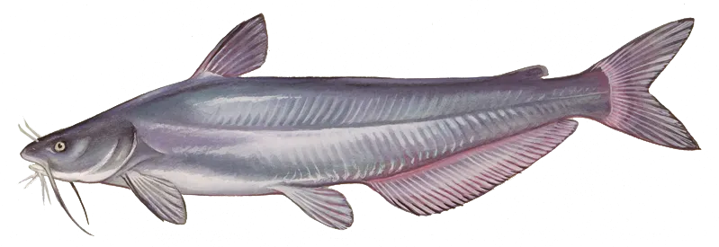
Blue catfish
Bag limit20
The maximum number of individual fish legally harvested per harvester per day. Bag limits are only for properly licensed anglers actively harvesting the species. People who are not actively harvesting or are not properly licensed (if a license is required) may NOT be counted for the purpose of bag limits.
Restrictions & requirements
VA Trotlines
Trotlines, juglines (noodles), or set poles (limb lines) may be used to take nongame fish and turtles provided they are not baited with live bait (worms are permissible), except on designated stocked trout waters, Department-owned lakes, and within 600 feet of any dam. Live bait other than game fish may be used on trot lines to take catfish in Carroll, Dickenson, Giles, Grayson, Montgomery, Pulaski and Wythe counties, and in the Clinch River in Russell, Scott, and Wise counties. Any person setting or possessing the above equipment shall have it clearly marked by permanent means with his or her name, address, and telephone number, and is required to check all lines and remove all fish and animals caught each day. All trotlines, juglines, or set poles must be removed from public waters when not in use.
Additional information
Edibility
Synonyms

Channel catfish
Bag limit20
The maximum number of individual fish legally harvested per harvester per day. Bag limits are only for properly licensed anglers actively harvesting the species. People who are not actively harvesting or are not properly licensed (if a license is required) may NOT be counted for the purpose of bag limits.
Restrictions & requirements
VA SCUBA
It is illegal to use SCUBA gear to take or attempt to take fish. (SCUBA = Self-contained Underwater Breathing Apparatus)
VA Noxious Substances
It is unlawful to use lime, dynamite, or any other substances to destroy fish, or to cast or allow noxious matter to pass into watercourses that might destroy fish or fish spawn, or to deposit trash in streams or lakes or along their banks.
VA Trotlines
Trotlines, juglines (noodles), or set poles (limb lines) may be used to take nongame fish and turtles provided they are not baited with live bait (worms are permissible), except on designated stocked trout waters, Department-owned lakes, and within 600 feet of any dam. Live bait other than game fish may be used on trot lines to take catfish in Carroll, Dickenson, Giles, Grayson, Montgomery, Pulaski and Wythe counties, and in the Clinch River in Russell, Scott, and Wise counties. Any person setting or possessing the above equipment shall have it clearly marked by permanent means with his or her name, address, and telephone number, and is required to check all lines and remove all fish and animals caught each day. All trotlines, juglines, or set poles must be removed from public waters when not in use.
Additional information
Edibility
Synonyms
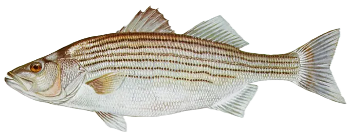
Striped bass
Bag limit1
The maximum number of individual fish legally harvested per harvester per day. Bag limits are only for properly licensed anglers actively harvesting the species. People who are not actively harvesting or are not properly licensed (if a license is required) may NOT be counted for the purpose of bag limits.
Min size28" (Total Length)
No person shall harvest any individual fish less than the minimum size limit.
Total length means the straight line distance from the most forward point of the head with the mouth closed, to the farthest tip of the tail with the tail compressed or squeezed, while the fish is lying on its side.
Max size31" (Total Length)
No person shall harvest any individual fish greater than the maximum size except as permitted.
Total length means the straight line distance from the most forward point of the head with the mouth closed, to the farthest tip of the tail with the tail compressed or squeezed, while the fish is lying on its side.
Restrictions & requirements
NJ No Gaff
It is prohibited for any person to gaff striped bass when fishing recreationally.
Additional information
Synonyms


Free trial available