

Check which species have trophy potential in Wells River
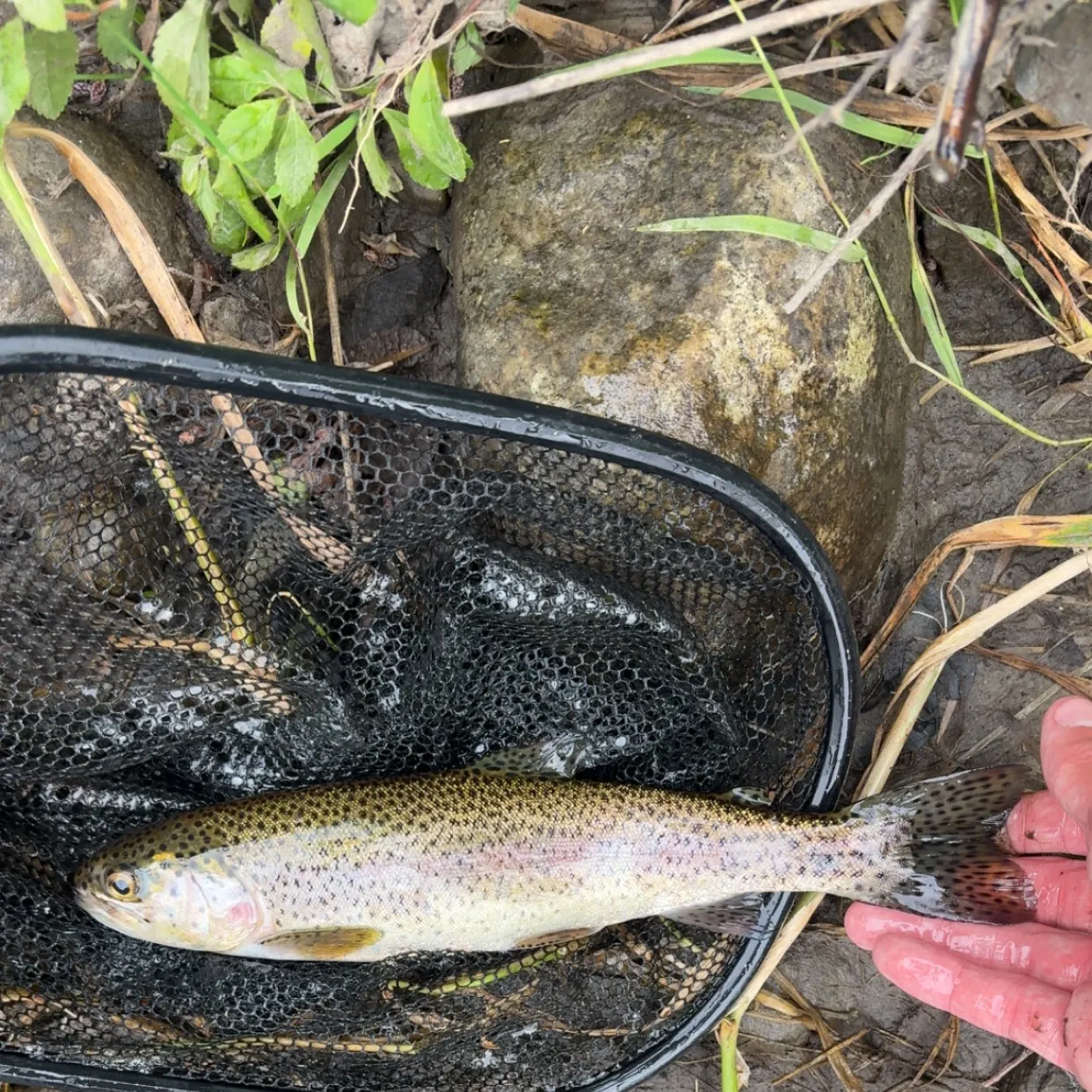
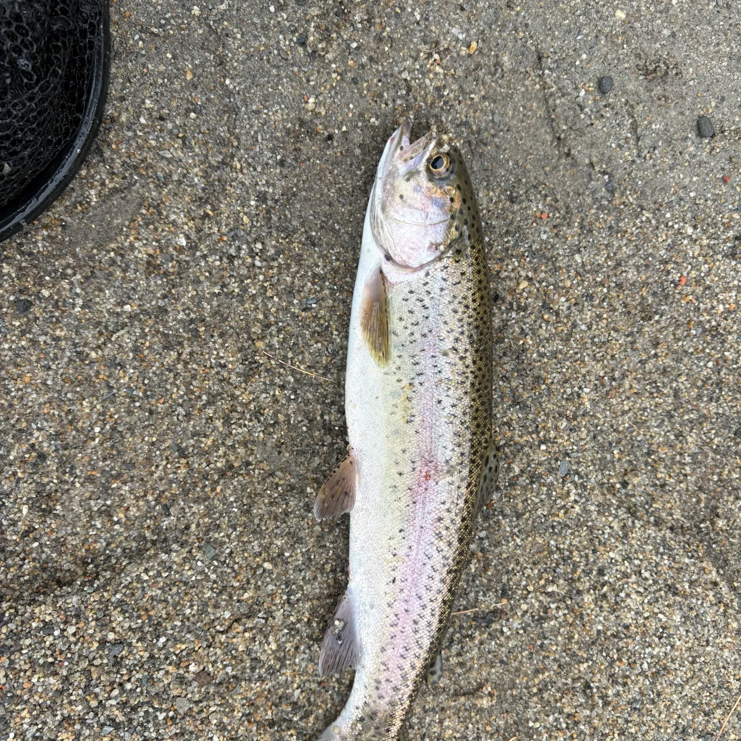
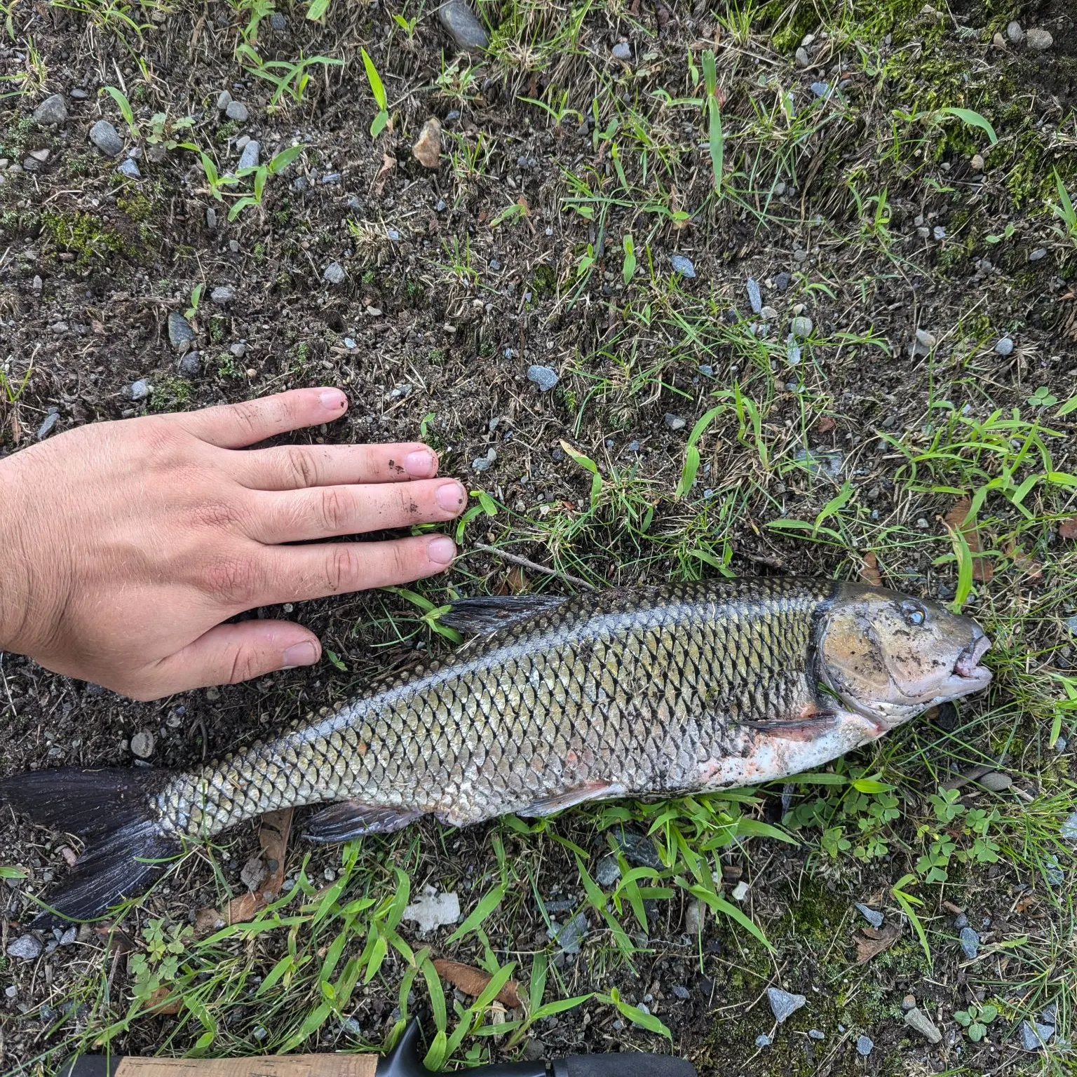
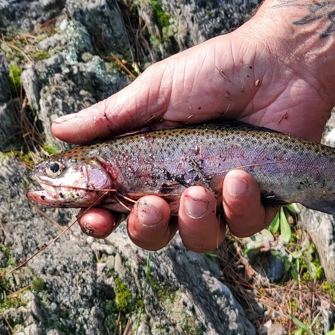
Wells River fishing reports
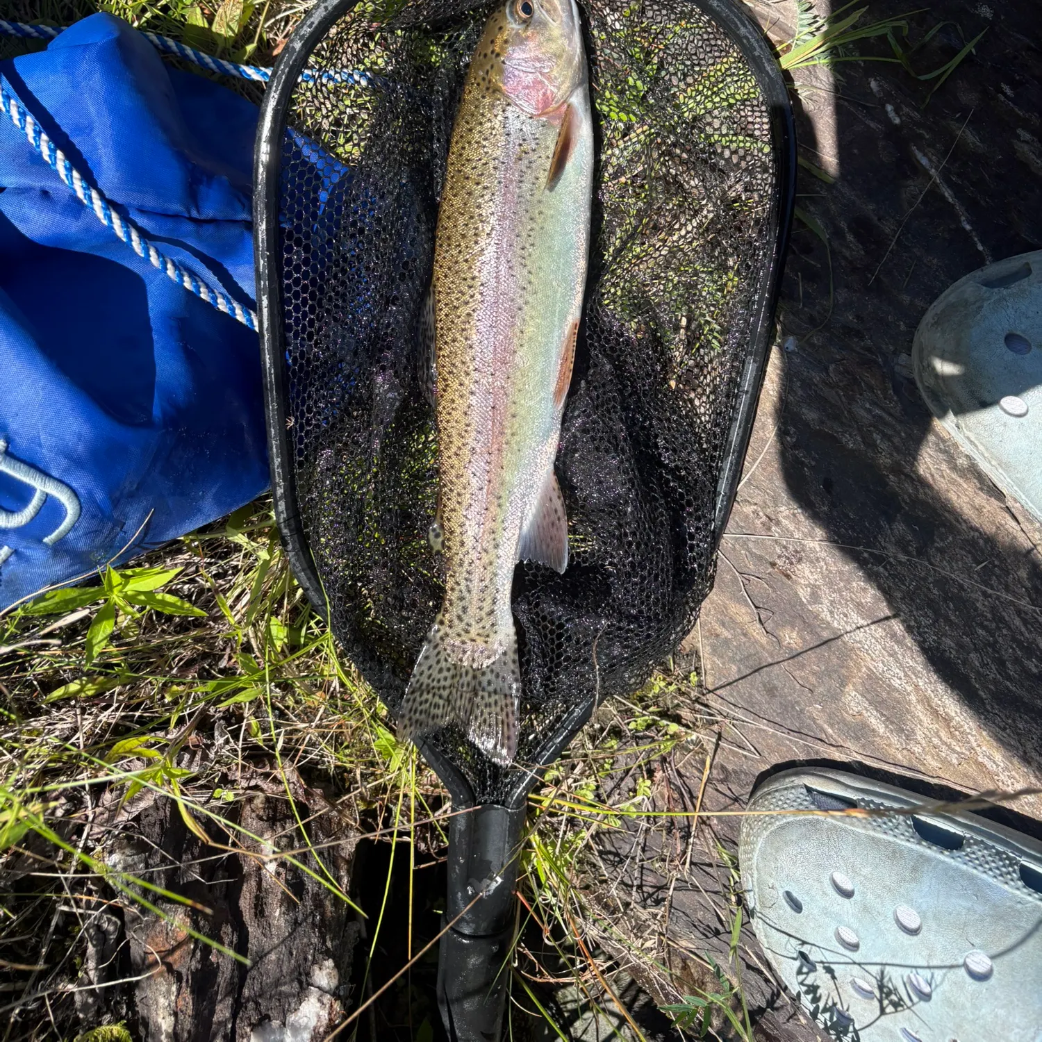
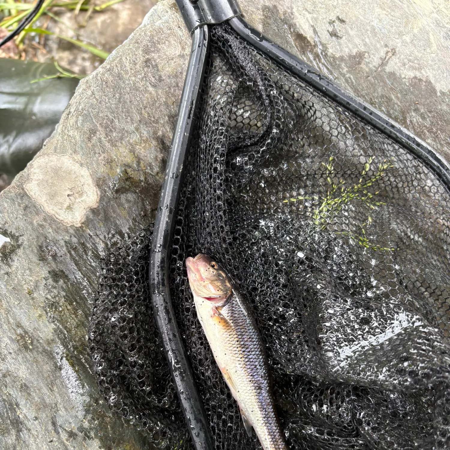

Continue browsing catches and catch locations in the Fishbrain app
Fishing regulations at Wells River, VT
Disclaimer: Always check local fishing regulations, water access rights and land ownership before fishing, regardless of any catches logged in that area by the Fishbrain community. Fishbrain has mapped millions of acres of government-owned land across the USA to help you identify potential fishing access, but you are responsible for ensuring compliance with all legal requirements.
Fishing regulations in Vermont can change throughout the year. Make sure to check this page before fishing for the most up to date rules and regulations for the current season. Local regulations govern when you can fish, the max size of the fish you can keep, how many fish you can keep, and more.
Regulations for top species
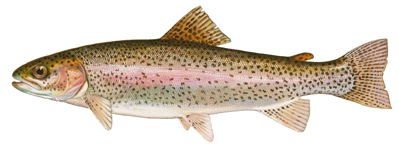
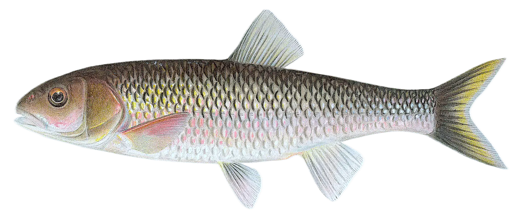
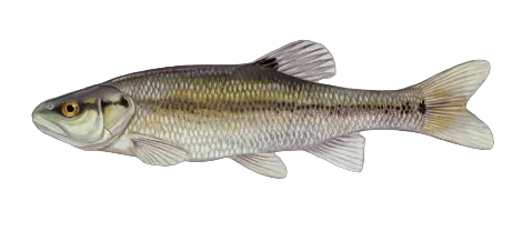
Rainbow trout
Bag limit6
The maximum number of individual fish legally harvested per harvester per day. Bag limits are only for properly licensed anglers actively harvesting the species. People who are not actively harvesting or are not properly licensed (if a license is required) may NOT be counted for the purpose of bag limits.
Aggregate limit6
The maximum number of individual fish across an aggregate group of species legally harvested per harvester per day.
Restrictions & requirements
VT Sale of Fish
A person shall not buy or sell a salmon, trout, lake trout, walleye, northern pike, muskellunge, black bass, or other fish specified by regulation, taken in this state, or imported from another state or country where sale of such fish is prohibited, except such fish reared in licensed propagation farms within the state. No person shall buy fish for resale without a Fish Buyer Permit issued by the commissioner.
VT Foul Hooking
Foul hooking is hooking a fish in any other part of the body than the mouth with a hook or hooks, or manipulating hooks to hook a fish in a body part other than the mouth. A person fishing by open-water fishing or ice fishing shall not take any fish unless it is hooked in the mouth. Any fish not hooked in the mouth shall be immediately released without unnecessary injury.
VT Snagging
Taking or attempting to take fish by snagging is PROHIBITED in all Vermont waters. Snagging shall mean the intentional hooking of a fish in a place other than the inside of the fish's mouth. No person shall pull, jerk, or otherwise purposefully and/or repeatedly manipulate a hook, or hooks and line, to snag or hook a fish in any method other than to entice a fish into taking, by mouth, a hook, lure, or fly. Repeated and/or exaggerated jerking or pulling of the fishing line and/or hooks in any attempt to snag fish, whether it results in physically snagging a fish or not, shall be prima-facie evidence that snagging has taken place. This shall not apply to the use of a gaff to land a fish that has been legally hooked.
VT Ice Fishing
A person may take fish only by using not more than eight lines, except on Lake Champlain where no more than fifteen lines may be used. He or she must have immediate control over all lines. Each line may not have more than two baited hooks or three artificial flies or two lures with or without bait. Six lines are allowed on the Connecticut River.
VT Open Water
Fishing by means of hook and line in hand or attached to a rod or other device in open water, or fishing by casting or trolling baited hooks, artificial flies, or lures is considered open-water fishing. A person may take fish only by using not more than two lines of which he or she has immediate control. Each line may not have more than two baited hooks or three artificial flies or two lures with or without bait.
Additional information
Edibility
Synonyms


Free trial available