
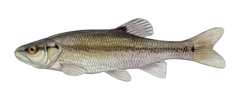
Top fish species at McCoys Fork

Check which species have trophy potential in McCoys Fork
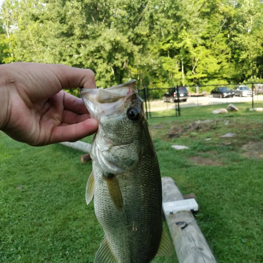
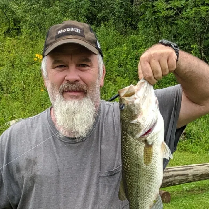
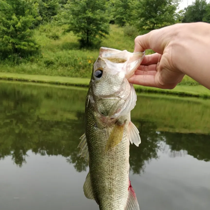
McCoys Fork fishing reports
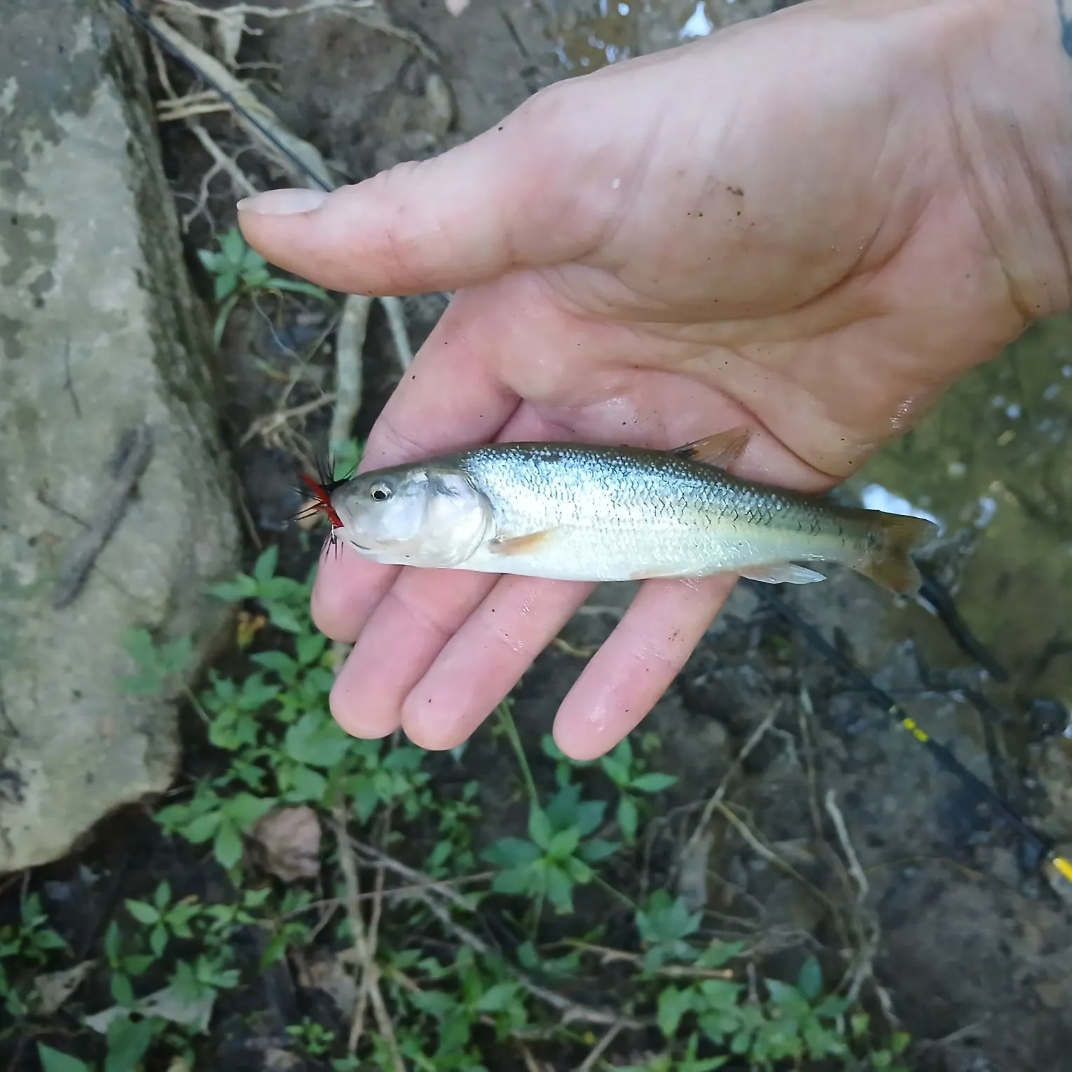
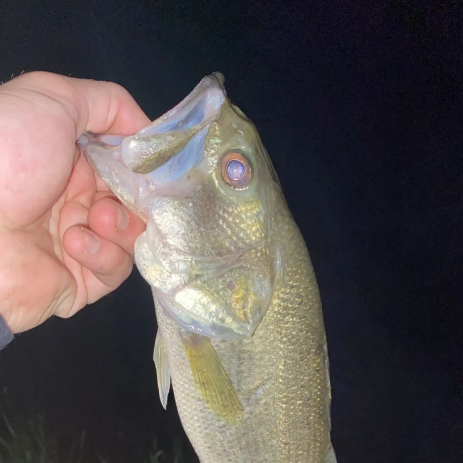
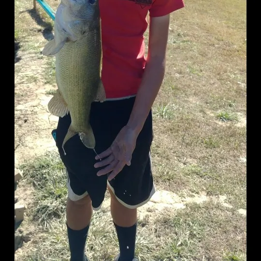
length · weight

Continue browsing catches and catch locations in the Fishbrain app
When are Largemouth Bass biting on McCoys Fork?
Learn what time of year and day to go fishing at McCoys Fork. Download Fishbrain today to look for new fishing spots, scout new fishing access, or prep for your next trip.

Fishing regulations at McCoys Fork, KY
Disclaimer: Always check local fishing regulations, water access rights and land ownership before fishing, regardless of any catches logged in that area by the Fishbrain community. Fishbrain has mapped millions of acres of government-owned land across the USA to help you identify potential fishing access, but you are responsible for ensuring compliance with all legal requirements.
Fishing regulations in Kentucky can change throughout the year. Make sure to check this page before fishing for the most up to date rules and regulations for the current season. Local regulations govern when you can fish, the max size of the fish you can keep, how many fish you can keep, and more.
Regulations for top species

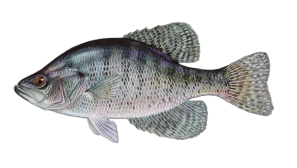
Largemouth bass
Bag limit6
The maximum number of individual fish legally harvested per harvester per day. Bag limits are only for properly licensed anglers actively harvesting the species. People who are not actively harvesting or are not properly licensed (if a license is required) may NOT be counted for the purpose of bag limits.
Min size12" (Total Length)
No person shall harvest any individual fish less than the minimum size limit.
Total length means the straight line distance from the most forward point of the head with the mouth closed, to the farthest tip of the tail with the tail compressed or squeezed, while the fish is lying on its side.
Aggregate limit6
The maximum number of individual fish across an aggregate group of species legally harvested per harvester per day.
Restrictions & requirements
KY Gigging and Snagging
Gigging means spearing or impaling fish on any pronged or barbed instrument attached to the end of any rigid object. Snagging means taking fish or other aquatic animals by a rapid drawing motion (rather than enticement by bait) using a hand-held rod and attached line with one single or treble hook. A rod legal for snagging must be equipped with line, guides and a reel. The statewide season for gigging and/or snagging rough fish is from February 1 through May 10. It is illegal to possess a gig on a stream or lake or in a boat from November 1 through January 31. A person may gig or snag fish from the bank of a stream during the day or night. Gigging and snagging is not legal from a platform or boat, except that gigging is legal from a boat on lakes 500 surface acres or larger and only during daylight hours. There is a statewide daily creel limit of 2 paddlefish and 2 shovelnose sturgeon for either gigging or snag- ging. Harvest of shovelnose sturgeon is prohibited in the Mississippi River. All gigged or snagged paddlefish and shovelnose sturgeon must be taken into possession and cannot be culled or released. Anglers must cease gigging or snagging once they attain either a paddlefish or shovelnose sturgeon daily creel limit. It is illegal to sell paddlefish or their roe taken by sportfish snagging methods. Also, when snagging, anglers may only harvest 1 trophy catfish per day and must cease snagging once a trophy catfish is taken. When gigging, an angler may take 1 trophy catfish of each species per day. No daily limits on any other rough fish. Regardless of condition, all sport fish as well as alligator gar and lake or pallid sturgeon taken by gigging and snagging must be immediately returned to the water. Persons may gig rough fish through the ice any time the surface is frozen thick enough to stand upon. The gigger must gig while supported by the ice. Disposal of gigged or snagged fish on the bank is considered littering and subject to a fine. GIGGING AND SNAGGING ARE PROHIBITED IN THE FOLLOWING WATERS OR AREAS:*Cave Run Lake including all tributaries up to the first riffle. *Cumberland River, below Wolf Creek Dam downstream to the Tennessee line including all of Hatchery Creek and all tributaries for 1⁄2 mile upstream of their confluence with the Cumberland River. *Within 200 yards of a dam, except below Kentucky Dam. *Cumberland River, below Barkley Dam downstream to the U.S. 62 bridge. *Tennessee River, below Kentucky Dam from the new U.S. 62 bridge to I-24 bridge. *Middle Fork of Kentucky River from Buckhorn Lake downstream to the Breathitt County line. *Rough River, below Rough River Dam to KY 54 bridge. *In the Tennessee River below Kentucky Dam, gigging prohibited year-round.
KY Spearfishing
Underwater spearing of rough fish with hand-held or mechanically propelled spear is permitted year-round, but only in lakes having 1,000 surface acres or more. All participants in this sport must be completely submerged while spear fishing. Only rough fish may be taken and the appropriate fishing license is required. The daily creel limit is 15 fish of which only 5 may be catfish.
Additional information
Possession limit no more than 12 black bass in total.
Check "Special Regulations" for site specific regulations.
Edibility
Synonyms
White crappie
Bag limit20
The maximum number of individual fish legally harvested per harvester per day. Bag limits are only for properly licensed anglers actively harvesting the species. People who are not actively harvesting or are not properly licensed (if a license is required) may NOT be counted for the purpose of bag limits.
Restrictions & requirements
KY Gigging and Snagging
Gigging means spearing or impaling fish on any pronged or barbed instrument attached to the end of any rigid object. Snagging means taking fish or other aquatic animals by a rapid drawing motion (rather than enticement by bait) using a hand-held rod and attached line with one single or treble hook. A rod legal for snagging must be equipped with line, guides and a reel. The statewide season for gigging and/or snagging rough fish is from February 1 through May 10. It is illegal to possess a gig on a stream or lake or in a boat from November 1 through January 31. A person may gig or snag fish from the bank of a stream during the day or night. Gigging and snagging is not legal from a platform or boat, except that gigging is legal from a boat on lakes 500 surface acres or larger and only during daylight hours. There is a statewide daily creel limit of 2 paddlefish and 2 shovelnose sturgeon for either gigging or snag- ging. Harvest of shovelnose sturgeon is prohibited in the Mississippi River. All gigged or snagged paddlefish and shovelnose sturgeon must be taken into possession and cannot be culled or released. Anglers must cease gigging or snagging once they attain either a paddlefish or shovelnose sturgeon daily creel limit. It is illegal to sell paddlefish or their roe taken by sportfish snagging methods. Also, when snagging, anglers may only harvest 1 trophy catfish per day and must cease snagging once a trophy catfish is taken. When gigging, an angler may take 1 trophy catfish of each species per day. No daily limits on any other rough fish. Regardless of condition, all sport fish as well as alligator gar and lake or pallid sturgeon taken by gigging and snagging must be immediately returned to the water. Persons may gig rough fish through the ice any time the surface is frozen thick enough to stand upon. The gigger must gig while supported by the ice. Disposal of gigged or snagged fish on the bank is considered littering and subject to a fine. GIGGING AND SNAGGING ARE PROHIBITED IN THE FOLLOWING WATERS OR AREAS:*Cave Run Lake including all tributaries up to the first riffle. *Cumberland River, below Wolf Creek Dam downstream to the Tennessee line including all of Hatchery Creek and all tributaries for 1⁄2 mile upstream of their confluence with the Cumberland River. *Within 200 yards of a dam, except below Kentucky Dam. *Cumberland River, below Barkley Dam downstream to the U.S. 62 bridge. *Tennessee River, below Kentucky Dam from the new U.S. 62 bridge to I-24 bridge. *Middle Fork of Kentucky River from Buckhorn Lake downstream to the Breathitt County line. *Rough River, below Rough River Dam to KY 54 bridge. *In the Tennessee River below Kentucky Dam, gigging prohibited year-round.
KY Spearfishing
Underwater spearing of rough fish with hand-held or mechanically propelled spear is permitted year-round, but only in lakes having 1,000 surface acres or more. All participants in this sport must be completely submerged while spear fishing. Only rough fish may be taken and the appropriate fishing license is required. The daily creel limit is 15 fish of which only 5 may be catfish.
Additional information
No size limit. Possession limit no more than 40 crappie.
Check the "Special Regulations" section of the fishing and boating guide for site specific regulations.
Edibility
Synonyms


Free trial available