
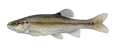
Top fish species at Buck Run

Check which species have trophy potential in Buck Run
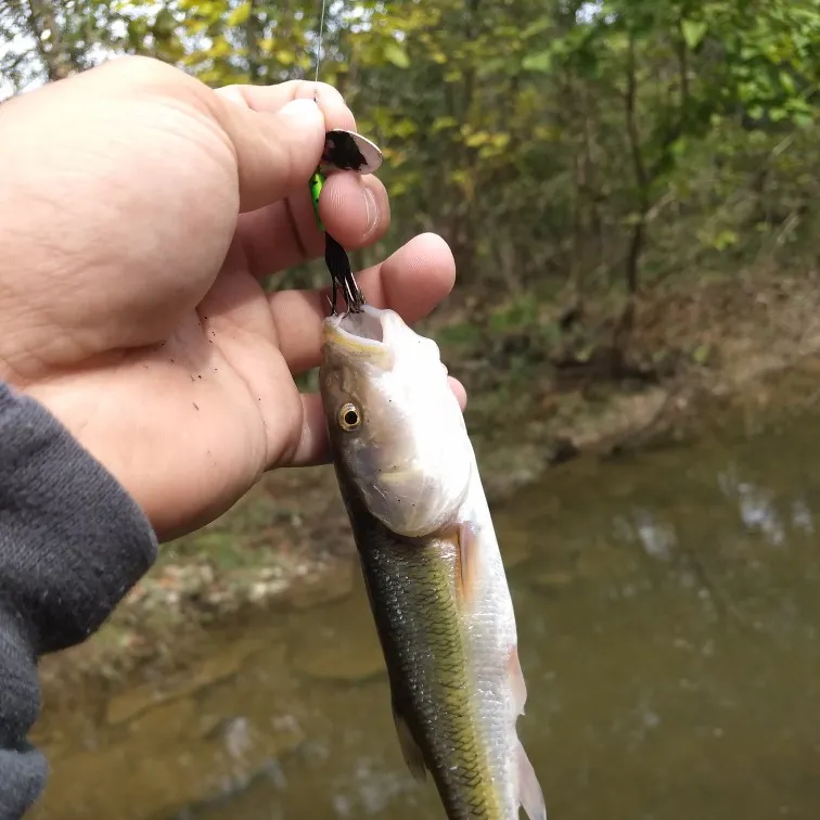
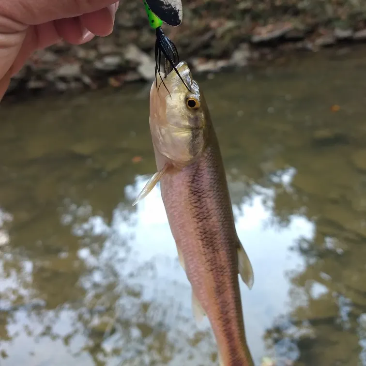
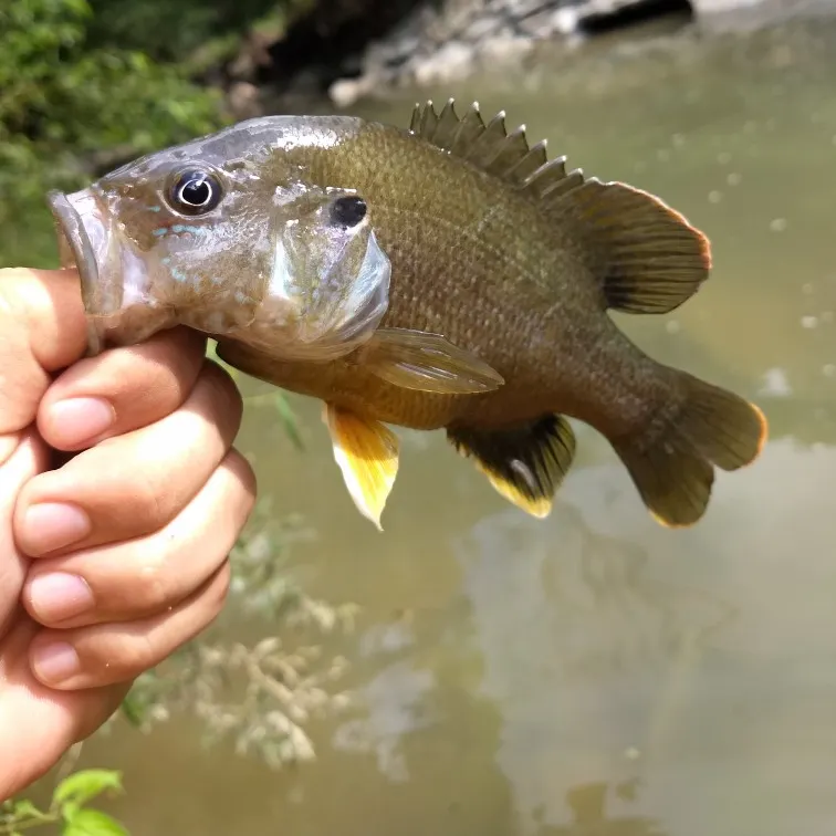
Buck Run fishing reports

Continue browsing catches and catch locations in the Fishbrain app
Fishing regulations at Buck Run, OH
Disclaimer: Always check local fishing regulations, water access rights and land ownership before fishing, regardless of any catches logged in that area by the Fishbrain community. Fishbrain has mapped millions of acres of government-owned land across the USA to help you identify potential fishing access, but you are responsible for ensuring compliance with all legal requirements.
Fishing regulations in Ohio can change throughout the year. Make sure to check this page before fishing for the most up to date rules and regulations for the current season. Local regulations govern when you can fish, the max size of the fish you can keep, how many fish you can keep, and more.
Regulations for top species

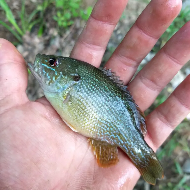
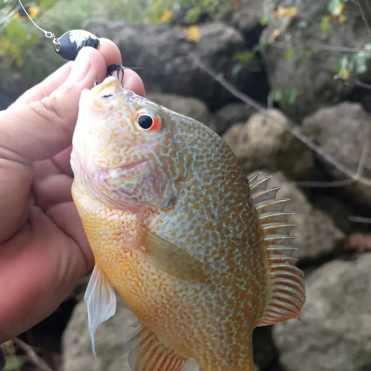
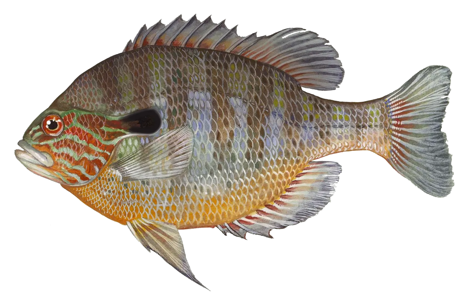
Green sunfish
Restrictions & requirements
Snagging
Harvest of this species by snagging (snatch hooking) is prohibited.
Additional information
Additional site-specific regulations for Sunfishes (all species):
All American Electric Power Company waters, including AEP ReCreation Lands; bag limit = 20; No size limit.
Appalachian Hills Wildlife Area; bag limit = 20; No size limit.
Jesse Owens; bag limit = 20; No size limit.
Killdeer Plains; bag limit = 10; No size limit.
Oxbow; bag limit = 10; No size limit.
St. Joseph River Wildlife Area; bag limit = 10; No size limit.
Synonyms
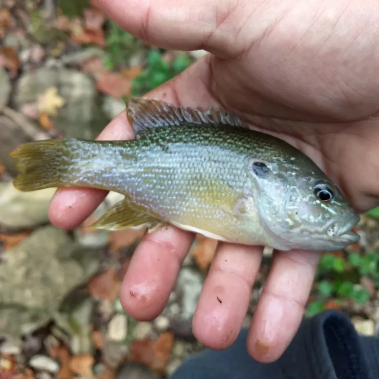
Longear sunfish
Restrictions & requirements
Snagging
Harvest of this species by snagging (snatch hooking) is prohibited.
Additional information
Additional site-specific regulations for Sunfishes (all species):
All American Electric Power Company waters, including AEP ReCreation Lands; bag limit = 20; No size limit.
Appalachian Hills Wildlife Area; bag limit = 20; No size limit.
Jesse Owens; bag limit = 20; No size limit.
Killdeer Plains; bag limit = 10; No size limit.
Oxbow; bag limit = 10; No size limit.
St. Joseph River Wildlife Area; bag limit = 10; No size limit.
Synonyms


Free trial available