
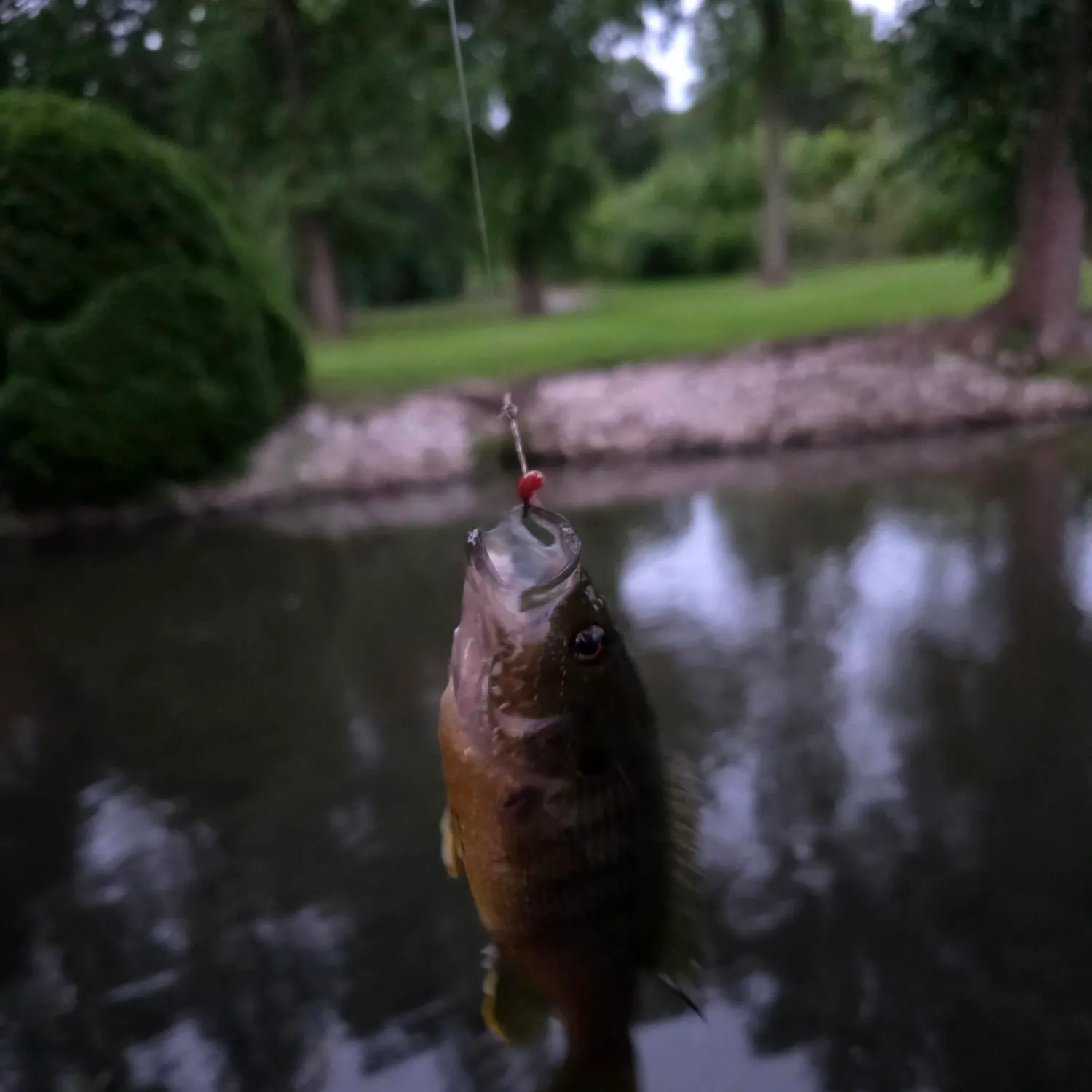
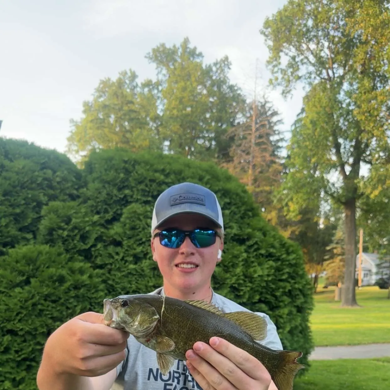
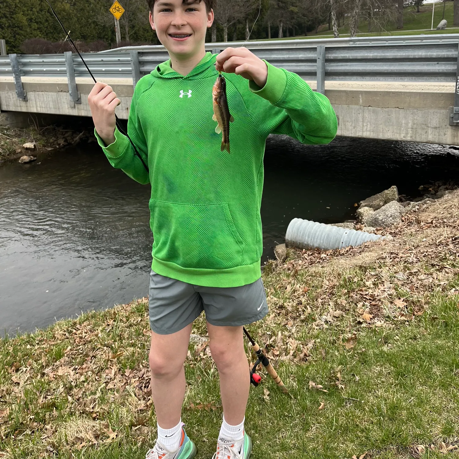
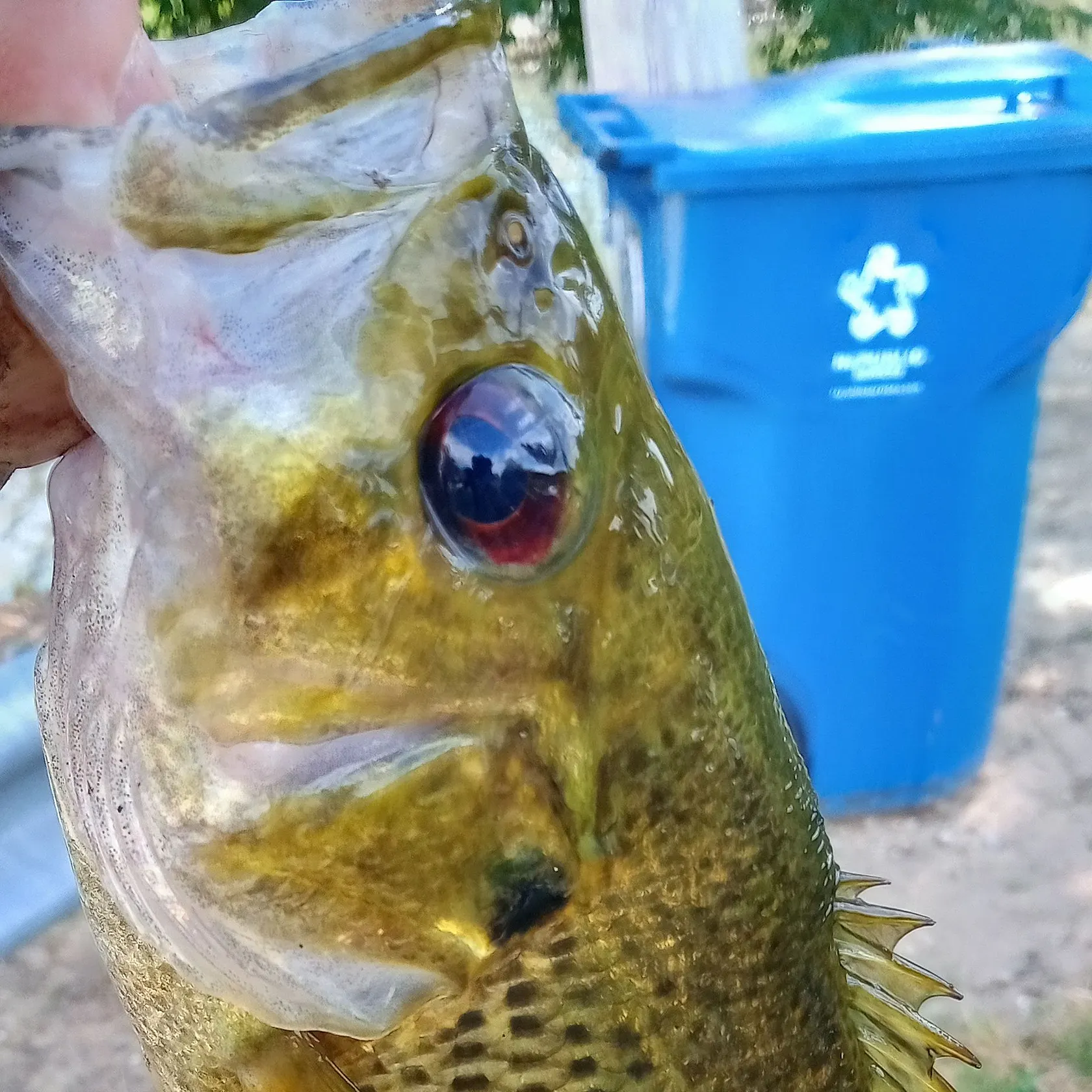
Logged catches
Top fish species at Mill Creek

Check which species have trophy potential in Mill Creek
Mill Creek fishing reports


Continue browsing catches and catch locations in the Fishbrain app
Fishing regulations at Mill Creek, IN
Disclaimer: Always check local fishing regulations, water access rights and land ownership before fishing, regardless of any catches logged in that area by the Fishbrain community. Fishbrain has mapped millions of acres of government-owned land across the USA to help you identify potential fishing access, but you are responsible for ensuring compliance with all legal requirements.
Fishing regulations in Indiana can change throughout the year. Make sure to check this page before fishing for the most up to date rules and regulations for the current season. Local regulations govern when you can fish, the max size of the fish you can keep, how many fish you can keep, and more.
Regulations for top species

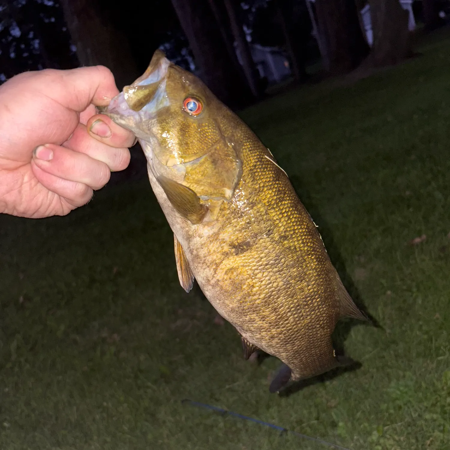
Smallmouth bass
Bag limit5
The maximum number of individual fish legally harvested per harvester per day. Bag limits are only for properly licensed anglers actively harvesting the species. People who are not actively harvesting or are not properly licensed (if a license is required) may NOT be counted for the purpose of bag limits.
Min size14" (Total Length)
No person shall harvest any individual fish less than the minimum size limit.
Total length means the straight line distance from the most forward point of the head with the mouth closed, to the farthest tip of the tail with the tail compressed or squeezed, while the fish is lying on its side.
Aggregate limit5
The maximum number of individual fish across an aggregate group of species legally harvested per harvester per day.
Additional information
These regulations are for smallmouth bass in lakes.
Smallmouth bass regulations for rivers and streams are as follows:
- size limit = no black bass 12 to 15-inches total length may be kept, and no more than 2 black bass over 15-inches total length may be kept;
- daily bag limit = 5 black bass (any combination of largemouth, smallmouth, or spotted bass)
Smallmouth bass regulations for Lake Michigan are as follows:
- minimum size = 14-inches total length;
- daily bag limit = 3 black bass (any combination of largemouth, smallmouth, or spotted bass)
Special Regulations for Lakes:
Lake Limits by County
15-inch minimum size limit:
- Patoka Lake (Orange, Dubois, and Crawford counties)
16-inch minimum size limit:
- Cecil M. Harden Lake (Parke County)
18-inch minimum size limit and two fish daily bag limit:
- Ball Lake (Steuben County)
- Blue Grass, Loon Pit (Warrick County)
- Fidler Pond (Elkhart County)
- Failing Lake, also known as Gentian Lake (Steuben County)
- Flat Fork Creek Park ponds A and B (Hamilton County)
- Kunkel Lake (Wells County)
- Robinson Lake (Whitley and Kosciusko counties)
- All lakes at Tri-County Fish & Wildlife Area (Kosciukso, Noble, and Elkhart counties)
- Bixler Lake, Henderson Lake, Little Long Lake, and Round Lake (Noble County)
20-inch minimum size limit and one fish daily bag limit:
- Turtle Creek Reservoir (Sullivan County)
12- to 15-inch slot size limits (At the following lakes, smallmouth bass that are from 12 to 15 inches in length may not be harvested. The daily bag limit applies to bass under 12 inches and over 15 inches):
• Buffalo Trace Lake (Harrison County)
• Ferdinand State Forest Lake (Dubois County)
• Montgomery City Park Lake (Daviess County)
12- to 15-inch slot size limit (no more than two bass larger than 15 inches):
- Big Long Lake (LaGrange County)
No minimum size limit waters:
- Brownstown Pit (Jackson County)
- Burdette Park lakes (Vanderburgh County)
- Chandler Town Lake (Warrick County)
- Cypress Lake (Jackson County)
- Deming Park lakes (Vigo County)
- Garvin Park Lake (Vanderburgh County)
- Glen Miller Pond (Wayne County)
- Hayswood Lake (Harrison County)
- Henry County Memorial Park Lake (Henry County)
- Hovey Lake at Hovey Lake Fish & Wildlife Area (Posey County)
- Krannert Lake (Marion County)
- Lake Sullivan (Marion County)
- Ruster Lake (Marion County)
- Schnebelt Pond (Dearborn County)
Special Regulations for Rivers & Streams
Ohio River
- daily bag limit = 6 black bass (any combination of largemouth, smallmouth, or spotted bass)
- minimum size = 12-inches total length
20-inch minimum size limit and one fish daily bag limit:
- Sugar Creek (Montgomery, Parke, Boone, Clinton, and Tipton counties)
12-inch minimum size limit (5 bass daily limit):
- All rivers and streams in Posey, Vanderburgh, Warrick, Spencer, Perry, Crawford, Harrison, Floyd, Clark, Jefferson, Switzerland, Ohio, and Dearborn counties (with the exception of the Blue River, where the slot limit applies in Crawford, Harrison, and Washington counties).
Synonyms
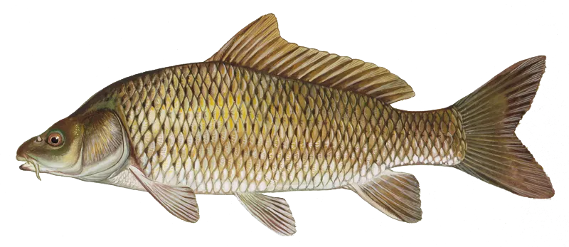
Common carp
Additional information
No bag limit. No size limit. No closed season.
A bow and arrow or crossbow can be used year-round at any time of day to take Asian carp, bowfin, buffalo fish, common carp, gar, shad, and suckers from streams, rivers, and non-flowing waters (including lakes, ponds, and reservoirs). A fishing license is required to use a bow and arrow or crossbow as fishing equipment.
Bowfin, buffalo fish, carp, gar, shad, and sucker from Lake Michigan can be taken with a bow and arrow.
A gig, fish spear, speargun, or underwater spear can be used year-round at any time of day to take Asian carp, bowfin, buffalo fish, common carp, gar, shad, and suckers from non-flowing waters (including lakes, ponds, and reservoirs) and the following large rivers:
- Kankakee River, upstream to the SR 55 bridge
- Maumee River, upstream to the Anthony Boulevard bridge in Fort Wayne
- St. Joseph River, upstream from Twin Branch Dam in Elkhart and St. Joseph counties
- Tippecanoe River, upstream to one-half mile below its confluence with Big Creek in Carroll County. Fish spears and fish gigs cannot be used in, on, or adjacent to Tippecanoe River from a half-mile below its juncture with Big Creek in Carroll County upstream to the Oakdale Dam.
- Wabash River, upstream to SR 13 in Wabash
- White River, upstream from the Wabash River to the junction of East and West forks
- White River/East Fork, upstream to the dam at the south edge of Columbus
- White River/West Fork, upstream to the dam below Harding Street in Indianapolis
Edibility
Synonyms
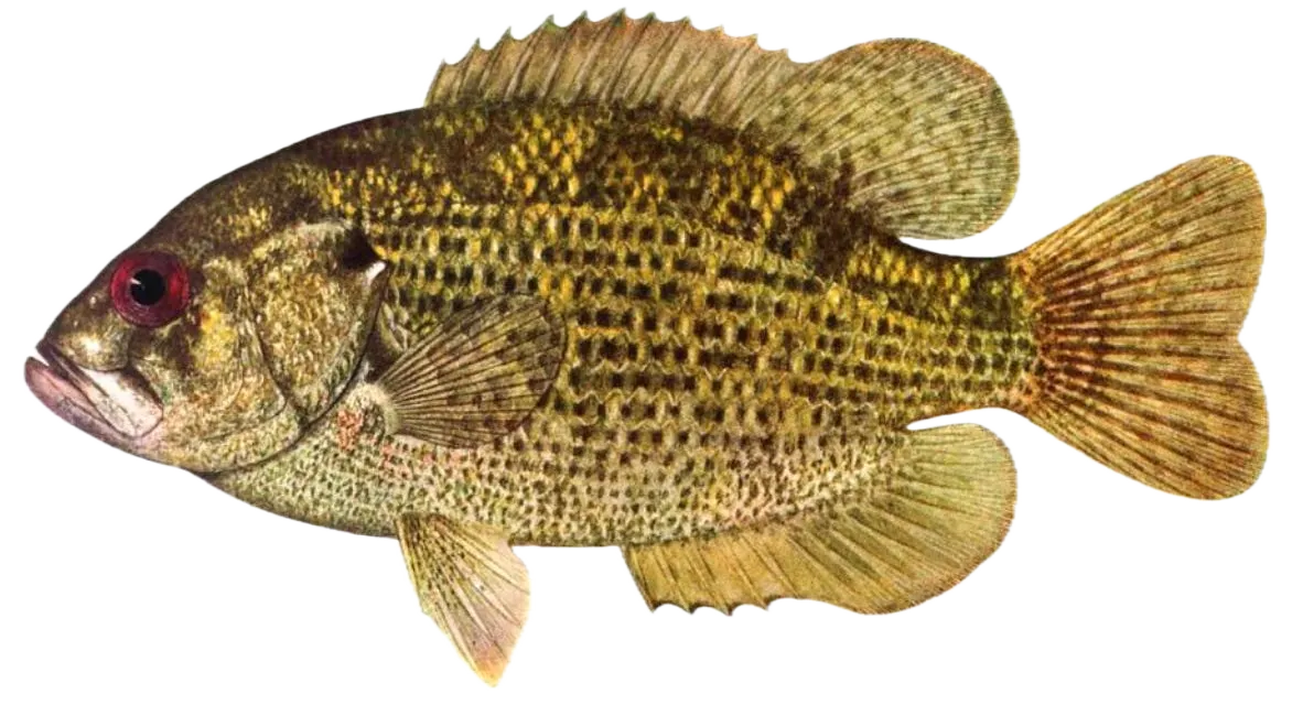
Rock bass
Bag limit25
The maximum number of individual fish legally harvested per harvester per day. Bag limits are only for properly licensed anglers actively harvesting the species. People who are not actively harvesting or are not properly licensed (if a license is required) may NOT be counted for the purpose of bag limits.
Additional information
Edibility
Synonyms


Free trial available