
Top fish species at Jethroe Run

Check which species have trophy potential in Jethroe Run
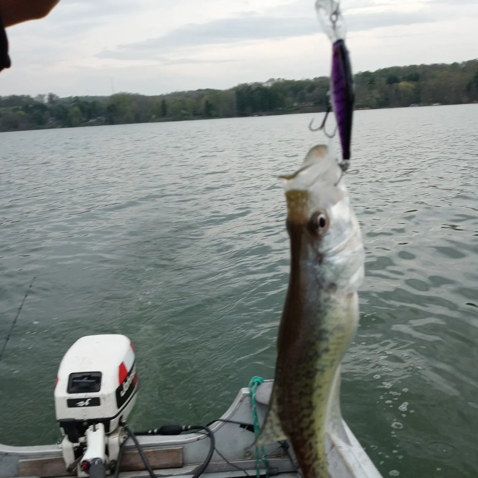
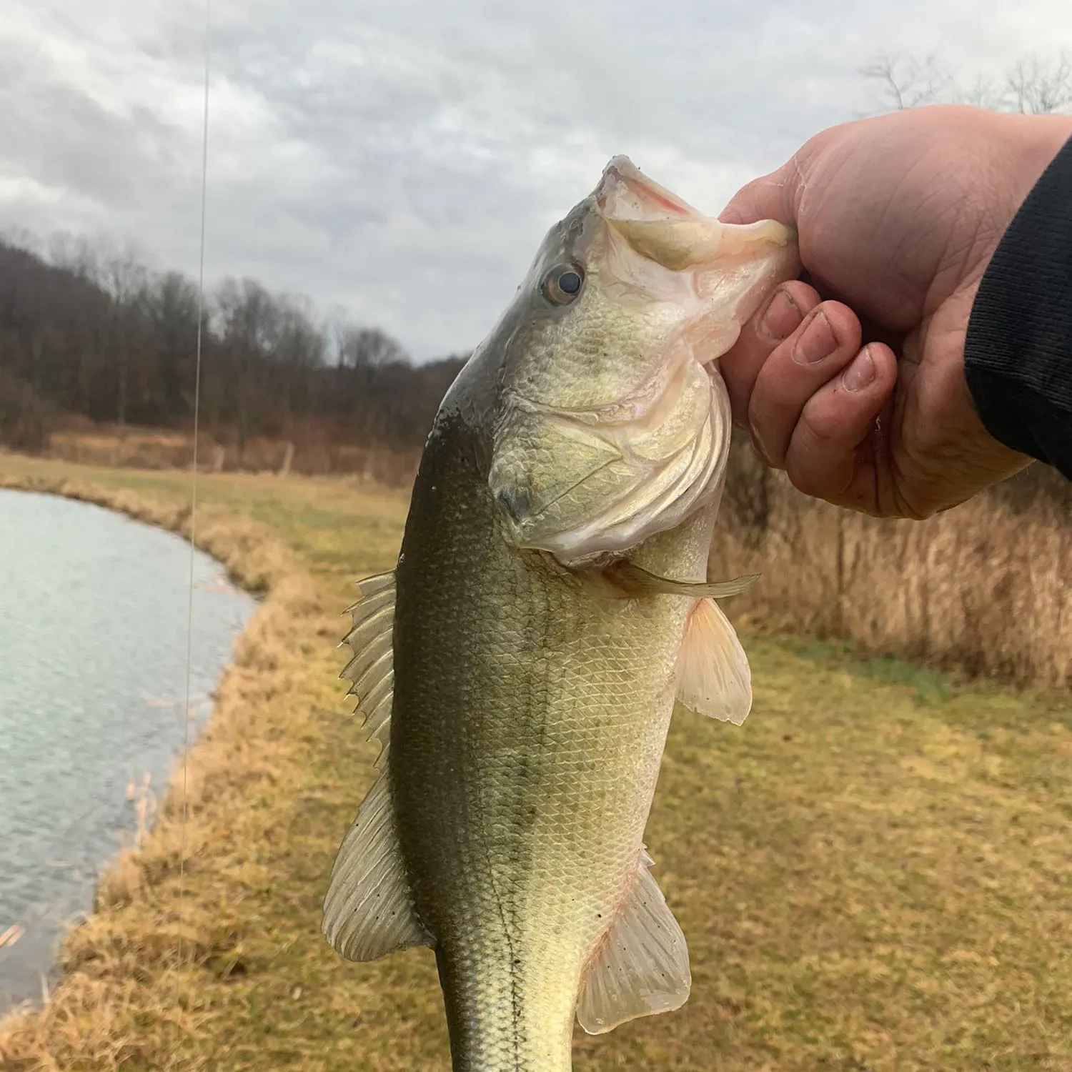
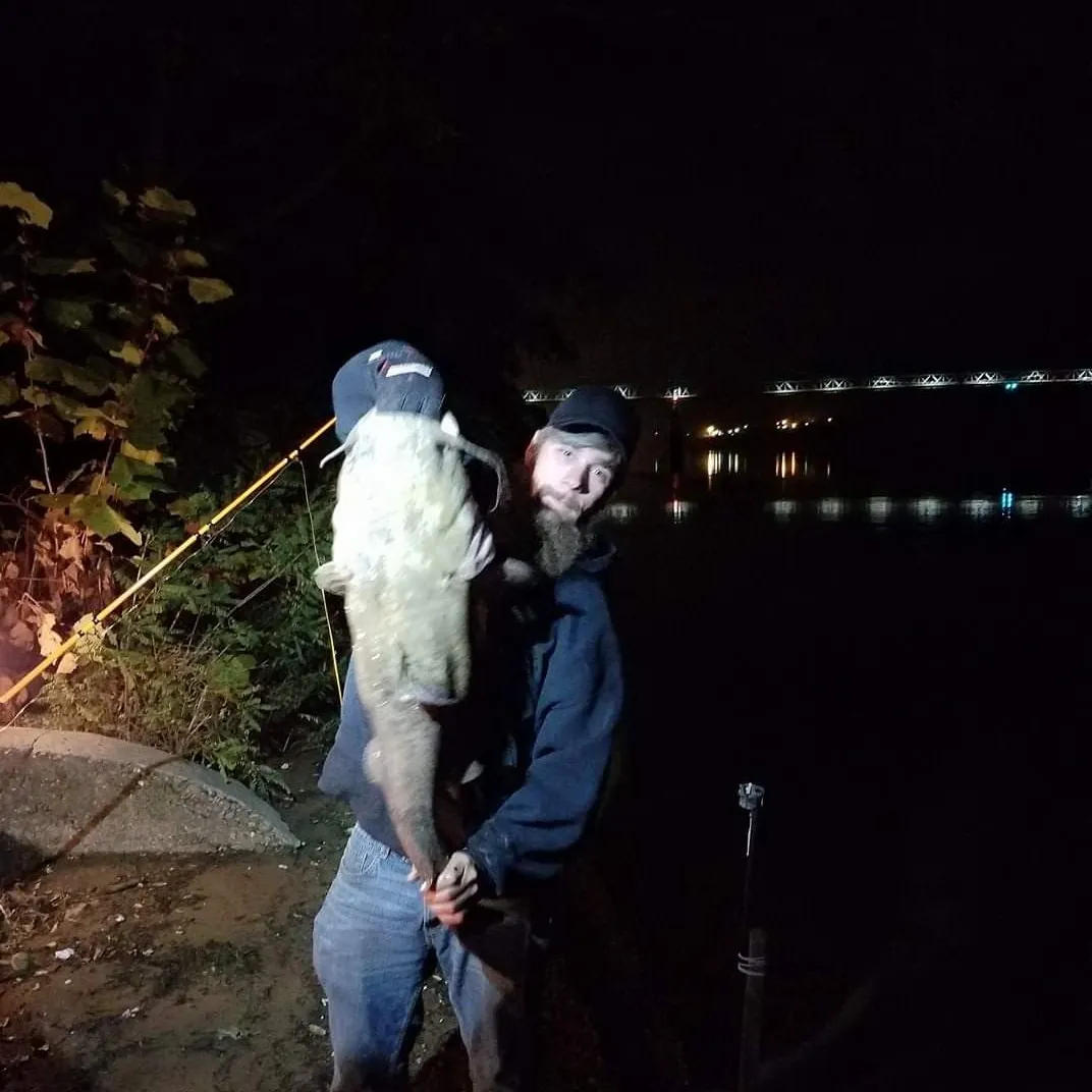
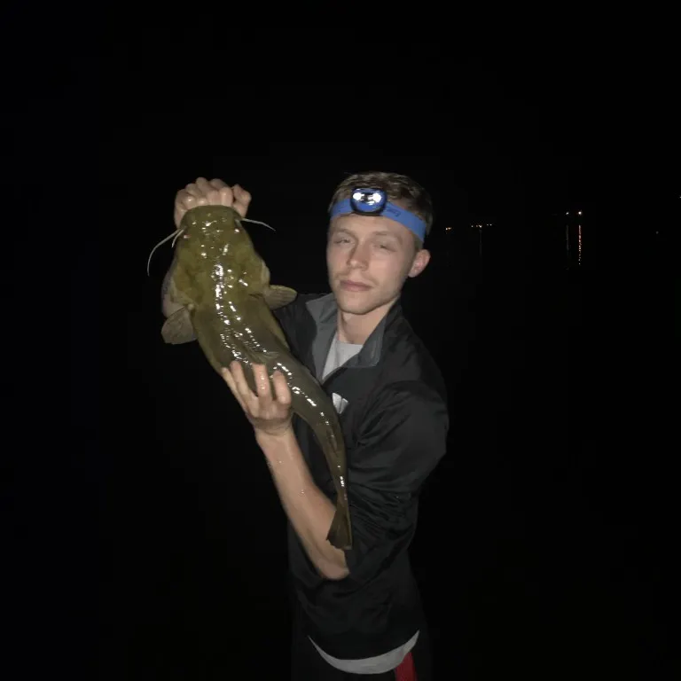
Jethroe Run fishing reports
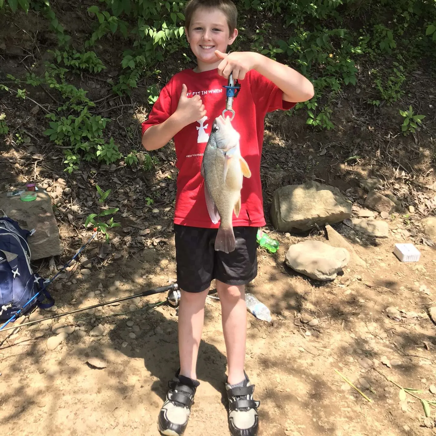
length · weight
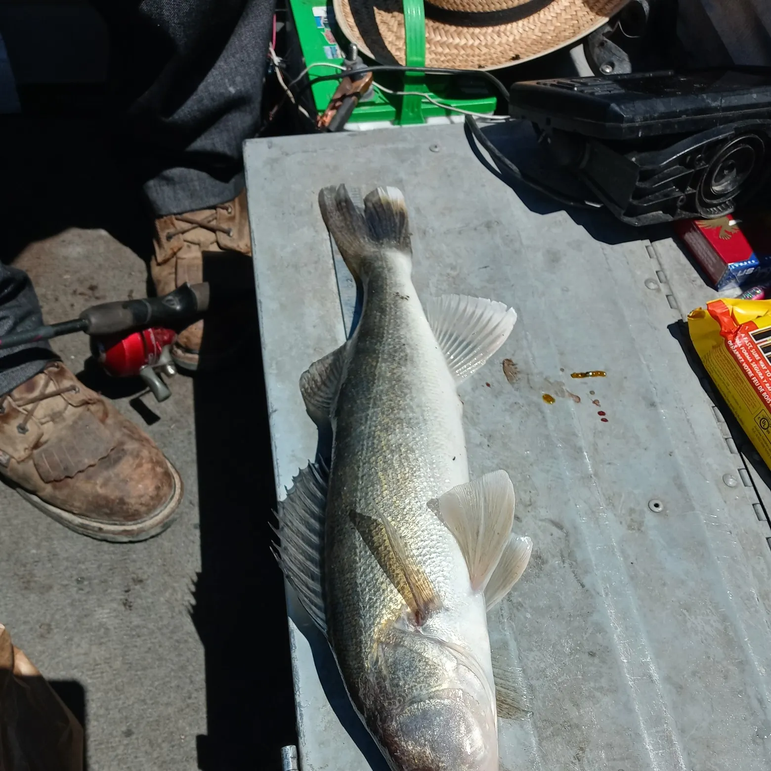
length · weight

Continue browsing catches and catch locations in the Fishbrain app
When are Largemouth Bass biting on Jethroe Run?
Learn what time of year and day to go fishing at Jethroe Run. Download Fishbrain today to look for new fishing spots, scout new fishing access, or prep for your next trip.

Fishing regulations at Jethroe Run, OH
Disclaimer: Always check local fishing regulations, water access rights and land ownership before fishing, regardless of any catches logged in that area by the Fishbrain community. Fishbrain has mapped millions of acres of government-owned land across the USA to help you identify potential fishing access, but you are responsible for ensuring compliance with all legal requirements.
Fishing regulations in Ohio can change throughout the year. Make sure to check this page before fishing for the most up to date rules and regulations for the current season. Local regulations govern when you can fish, the max size of the fish you can keep, how many fish you can keep, and more.
Regulations for top species
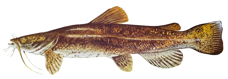
Flathead catfish
Memorable / trophy limits1 > 35
The maximum number of trophy individuals legally harvested per harvester per day. A trophy is any individual of a length greater than the max size limit. Trophy individuals are included in the daily bag limit unless stated otherwise.
Additional information
For additional site-specific regulations, see Ohio Division of Wildlife Fishing Regulations.
Edibility
Synonyms

Channel catfish
Memorable / trophy limits1 > 28
The maximum number of trophy individuals legally harvested per harvester per day. A trophy is any individual of a length greater than the max size limit. Trophy individuals are included in the daily bag limit unless stated otherwise.
Additional information
No bag limit for channel catfish under 28 inches. Bag limit of 1 channel catfish 28-inches or larger.
Hoover Reservoir; bag limit = 4 fish split limit; 3 fish less than 18-inches and 1 fish 28-inches or longer may be harvested. None may be taken between 18-inches and 28-inches.
For additional site-specific regulations, see Ohio Division of Wildlife Fishing Regulations.
Edibility
Synonyms

Largemouth bass
Bag limit5
The maximum number of individual fish legally harvested per harvester per day. Bag limits are only for properly licensed anglers actively harvesting the species. People who are not actively harvesting or are not properly licensed (if a license is required) may NOT be counted for the purpose of bag limits.
Min size12" (Total Length)
No person shall harvest any individual fish less than the minimum size limit.
Total length means the straight line distance from the most forward point of the head with the mouth closed, to the farthest tip of the tail with the tail compressed or squeezed, while the fish is lying on its side.
Aggregate limit5
The maximum number of individual fish across an aggregate group of species legally harvested per harvester per day.
Restrictions & requirements
Snagging
Harvest of this species by snagging (snatch hooking) is prohibited.
Additional information
Largemouth Bass, Smallmouth Bass, Spotted Bass regulations for Lake Erie
March 1 - April 30: bag limit = 5; min size = 14-inches
May 1 - June 24: bag limit = 1; min size = 18-inches
June 25 - April 30: bag limit = 5; min size = 14 inches
Largemouth Bass, Smallmouth Bass, Spotted Bass regulations for the Ohio River - Western Unit (Ohio/Kentucky) Regulations. These regulations apply only to boat anglers when fishing in Ohio waters, shoreline anglers when fishing on the Ohio shoreline, and all anglers in Ohio embayments and tributaries within the Western Unit.
bag limit = 6; min size = 12 inches
Kentucky regulations apply to boat anglers fishing beyond the 1792 low water mark, identified at wildohio.gov. WildOhio.gov.
Largemouth Bass, Smallmouth Bass, Spotted Bass regulations for the Ohio River - Eastern Unit (Ohio/West Virginia) Regulations. These regulations must be followed when fishing on or within a quarter mile of the Ohio River on its embayments and tributaries to the first riffle or dam in the Eastern Unit.
bag limit = 6; min size = 12 inches
West Virginia regulations apply to boat anglers fishing the main stem of the Ohio River, shore anglers fishing the West Virginia shoreline, and boat and shore anglers fishing West Virginia embayments and tributaries within the Eastern Unit.
Largemouth Bass and Smallmouth Bass regulations for Pymatuning Lake:
bag limit = 5; min size = 12-inches
Additional site-specific regulations for Largemouth Bass, Smallmouth Bass, Spotted Bass in inland lakes, reservoirs, rivers, and streams:
- Action: bag limit = 4 fish split daily limit; 2 fish less than 15-inches and 2 fish 15-inches or longer
- Adams: bag limit = 5; min size = 15-inches
- All American Electric Power Company waters, including AEP ReCreation Lands: bag limit = 3 fish split daily limit; 2 fish less than 14-inches and 1 fish 20-inches or longer
- Appalachian Hills Wildlife Area: bag limit = 3 fish split daily limit; 2 fish less than 14-inches and 1 fish 20-inches or longer
- Belmont: bag limit = 3 fish split daily limit; 2 fish less than 14-inches and 1 fish 20-inches or longer
- Blue Rock: bag limit = 5; min size = 15-inches
- Burr Oak: bag limit = 5; none may be taken between 12 and 15-inches
- Caldwell: bag limit = 5; min size = 15-inches
- Cowan: bag limit = 5; min size = 15-inches
- Dale Walborn: bag limit = 5; min size = 15-inches
- Dow: bag limit = 5; none may be taken between 12 and 15-inches
- Findley: bag limit = 4 fish split daily limit; 2 fish less than 15-inches and 2 fish 15-inches or longer
- Fox: bag limit = 5; none may be taken between 12 and 15-inches
- Greenfield: bag limit = 5; min size = 15-inches
- Guilford: bag limit = 3 fish split daily limit; 2 fish less than 14-inches and 1 fish 20-inches or longer
- Hammertown (Jackson City Reservoir): bag limit = 5; none may be taken between 12 and 15-inches
- Hancock County Wetlands: bag limit = 5; min size = 15-inches
- Hargus: bag limit = 4 fish split daily limit; 2 fish less than 15-inches and 2 fish 15-inches or longer
- Highlandtown: bag limit = 4 fish split daily limit; 2 fish less than 15-inches and 2 fish 15-inches or longer
- Jesse Owens: bag limit = 3 fish split daily limit; 2 fish less than 14-inches and 1 fish 20-inches or longer
- Killdeer Plains ponds: bag limit = 3 fish split daily limit; 2 fish less than 14-inches and 1 fish 20-inches or longer
- Kiser: bag limit = 3 fish split daily limit; 2 fish less than 14-inches and 1 fish 20-inches or longer
- Knox: bag limit = 5; min size = 18-inches
- La Su An: special limits are posted
- Lake Rupert (Wellston City Reservoir): bag limit = 5; none may be taken between 12 and 15-inches
- Lake Snowden: bag limit = 4 fish split daily limit; 2 fish less than 15-inches and 2 fish 15-inches or longer
- Long: bag limit = 3 fish split daily limit; 2 fish less than 14-inches and 1 fish 20-inches or longer
- New Lyme: bag limit = 4 fish split daily limit; 2 fish less than 15-inches and 2 fish 15-inches or longer
- No. 30 and No. 33: bag limit = 3 fish split daily limit; 2 fish less than 14-inches and 1 fish 20-inches or longer
- Ohio-Erie Canal: bag limit = 5; min size = 15-inches
- Oxbow: bag limit = 3 fish split daily limit; 2 fish less than 14-inches and 1 fish 20-inches or longer
- Paint Creek: bag limit = 4 fish split daily limit; 2 fish less than 15-inches and 2 fish 15-inches or longer
- Pine: bag limit = 5; min size = 15-inches
- Resthaven Pond No. 8: bag limit = 5; min size = 15-inches
- Ross: bag limit = 5; min size = 15-inches
- Rush Runs: bag limit = 5; min size = 15-inches
- Salt Fork: bag limit = 4 fish split daily limit; 2 fish less than 15-inches and 2 fish 15-inches or longer
- Seneca: bag limit = 5; min size = 15-inches
- Silver Creek: bag limit = 4 fish split daily limit; 2 fish less than 15-inches and 2 fish 15-inches or longer
- Slope Creek (Barnesville No. 3): bag limit = 5; none may be taken between 12 and 15-inches
- Spencer: bag limit = 3 fish split daily limit; 2 fish less than 14-inches and 1 fish 20-inches or longer
- St. Joseph Wildlife Area: bag limit = 3 fish split daily limit; 2 fish less than 14-inches and 1 fish 20-inches or longer
- Turkey Creek: bag limit = 5; none may be taken between 12 and 15-inches
- Tycoon: bag limit = 3 fish split daily limit; 2 fish less than 14-inches and 1 fish 20-inches or longer
- Upper Sandusky No. 2: bag limit = 4 fish split daily limit; 2 fish less than 15-inches and 2 fish 15-inches or longer
- Wellington Reservoir South: bag limit = 5; min size = 15-inches
- Wingfoot: bag limit = 3 fish split daily limit; 2 fish less than 14-inches and 1 fish 20-inches or longer
- Wolf Run: bag limit = 3 fish split daily limit; 2 fish less than 14-inches and 1 fish 20-inches or longer
- Zepernick: bag limit = 5; min size = 15-inches
Edibility
Synonyms


Free trial available