Map

Mayfield

Fishing spots, fishing reports, and regulations in

Indiana, United States

5.0·5 catches

Top fish species at Mayfield

App Section

Check which species have trophy potential in Mayfield

Mayfield fishing reports

Loading...

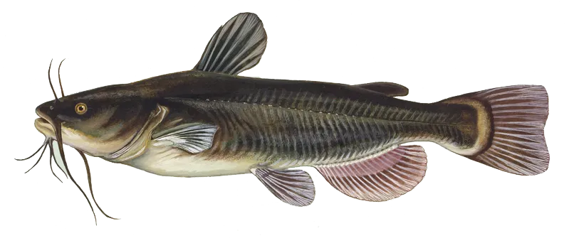
Black bullhead

length · weight

Loading...

European perch

length · weight

Loading...

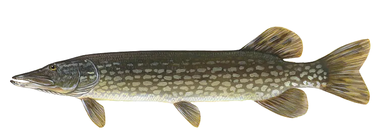
Northern pike

length · weight

Loading...

Muskie

32 in · 12 lb

Loading...

Rainbow trout

length · weight

Fishbrain
More catches in the app...

Continue browsing catches and catch locations in the Fishbrain app

Loading...
Loading...
Loading...

General info

Mayfield is a lake located in Sullivan County, Indiana, United States. It is also intersecting with Greene County, Indiana. It is most popular for fishing Rainbow trout, Northern pike, and Black bullhead.

Location

38°59′33″N 87°14′32.1″W
Directions

Amenities

When are Northern Pike biting on Mayfield?

Learn what time of year and day to go fishing at Mayfield. Download Fishbrain today to look for new fishing spots, scout new fishing access, or prep for your next trip.

Bite time image

Fishing regulations at Mayfield, IN

Disclaimer: Always check local fishing regulations, water access rights and land ownership before fishing, regardless of any catches logged in that area by the Fishbrain community. Fishbrain has mapped millions of acres of government-owned land across the USA to help you identify potential fishing access, but you are responsible for ensuring compliance with all legal requirements.

Fishing regulations in Indiana can change throughout the year. Make sure to check this page before fishing for the most up to date rules and regulations for the current season. Local regulations govern when you can fish, the max size of the fish you can keep, how many fish you can keep, and more.

Regulations for top species
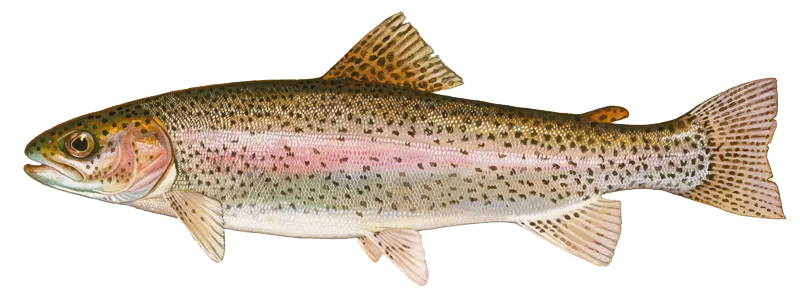
Season open: year-round
Rainbow trout

Rainbow trout

Regulation boundaryIndiana State Waters
Bag limit5

The maximum number of individual fish legally harvested per harvester per day. Bag limits are only for properly licensed anglers actively harvesting the species. People who are not actively harvesting or are not properly licensed (if a license is required) may NOT be counted for the purpose of bag limits.

Min size7" (Total Length)

No person shall harvest any individual fish less than the minimum size limit.

Total length means the straight line distance from the most forward point of the head with the mouth closed, to the farthest tip of the tail with the tail compressed or squeezed, while the fish is lying on its side.

Aggregate limit5

The maximum number of individual fish across an aggregate group of species legally harvested per harvester per day.

Restrictions & requirements

Foul-hooked

Any trout or salmon taken from the Lake Michigan tributaries must be hooked in the mouth. Foul-hooked fish must be returned to the water from which they were foul-hooked.

Required licenses
To legally fish for or take trout and salmon from public waters, you must have a valid trout/salmon stamp and a valid fishing license. 
Additional information
Lakes: There is no closed season for taking trout from inland lakes.Streams: The opening day of trout season for inland streams, other than Lake Michigan tributaries, is the last Saturday in April. The season runs through Dec. 31. The start time is 6 a.m. local time. For a list of trout stockings, see fishing.IN.gov Catch-and-release applies to all trout streams from Jan. 1 through April 14. See page 20 for special tributary restrictions and closure information for Lake Michigan streams.A closed season for selected trout streams runs from April 15 to the last Saturday in April (opening day) while DNR staff complete the annual trout stockings. These streams include:Pigeon River and Pigeon Creek in LaGrange County from the Steuben County line to CR 410 E (Troxel's Bridge). This does not include the impoundment known as Mongo Mill Pond.Harding Run, Curtis Creek, Bloody Run, and Graveyard Run (tributaries of Pigeon River) in LaGrange CountyTurkey Creek north of CR 100 S in LaGrange County Rainbow Pit located on Pigeon River Fish & Wildlife Area, approximately one mile east of Ontario in LaGrange CountyLittle Elkhart River and Rowe-Eden Ditch in LaGrange CountySolomon Creek and Cobus Creek in Elkhart CountyLittle Kankakee River in LaPorte County from CR 800 E upstream to Division RoadSpy Run Creek within Franke Park in Allen CountyMississinewa River within the boundaries of the Randolph County Wildlife Management AreaBig Blue River within the boundaries of Wilbur Wright Fish & Wildlife Area in Henry County The following three streams in Elkhart County (totaling 2.8 miles) are designated as year-round "catch-and-release only" and "artificial lures or flies only" trout fishing areas:• Little Elkhart River from CR 43 downstream to CR 16, except for waters along Riverbend Park from CR 16 upstream to the pedestrian footbridge• Solomon Creek from CR 33 downstream to the Elkhart River• Cobus Creek from Old U.S. 20 downstream to the St. Joseph River Lake Michigan: trout and salmon regulations are available online. Trout or salmon with a missing adipose fin contain a small microwire tag in the head of the fish with information important to DNR research. Please save the head from your adipose fin-clipped trout and salmon and call 219-874-6824 for instructions. It is illegal to snag fish from public waters in Indiana, including the Ohio River. Trout and salmon that are foul-hooked (not caught in the mouth) cannot be kept. They must be released back into the body of water from which they were foul-hooked. 
Edibility
Excellent
Synonyms
Oncorhynchus mykiss
Season open: year-round
Northern pike

Northern pike

Regulation boundaryIndiana State Waters
Bag limit3

The maximum number of individual fish legally harvested per harvester per day. Bag limits are only for properly licensed anglers actively harvesting the species. People who are not actively harvesting or are not properly licensed (if a license is required) may NOT be counted for the purpose of bag limits.

Min size24" (Total Length)

No person shall harvest any individual fish less than the minimum size limit.

Total length means the straight line distance from the most forward point of the head with the mouth closed, to the farthest tip of the tail with the tail compressed or squeezed, while the fish is lying on its side.

Memorable / trophy limits1 > 30

The maximum number of trophy individuals legally harvested per harvester per day. A trophy is any individual of a length greater than the max size limit. Trophy individuals are included in the daily bag limit unless stated otherwise.

Additional information
No more than one northern pike 30-inches or longer. Exceptions: At Hamilton Lake (Steuben County): bag limit = no more than 6 fish per day; At Hamilton Lake (Steuben County): no minimum size limit with no more than 1 northern pike more than 30-inches long
Synonyms
Esox lucius
Season open: year-round
Black bullhead

Black bullhead

Regulation boundaryIndiana State Waters
Additional information
No bag limit. No size limit. No closed season.
Edibility
Good
Synonyms
Ameiurus, Black Bullhead, Brown Bullhead, Horned Pout, Snail Bullhead, Spotted Bullhead, Yellow Bullhead
License Icon
Local laws and licenses

Indiana fishing license

Get license

Reviews of Mayfield

5.0
Loading...

2 ratings

5
4
3
2
1
Top reviews

Cities nearby

Dugger

5.5 miles away

Sandborn

7.3 miles away

Lyons

8.7 miles away

Carlisle

8.8 miles away

Freelandville

9.5 miles away

Jasonville

11.9 miles away

New Lebanon

12.7 miles away

Oaktown

13.6 miles away

Plainville

13.9 miles away

Worthington

16.6 miles away

Ragsdale

17.5 miles away

Emison

17.8 miles away

Lewis

18.5 miles away

Graysville

18.9 miles away

Scotland

19.0 miles away

Farmersburg

19.4 miles away

Russellville

19.6 miles away

Palestine

19.9 miles away

Middlebury

19.9 miles away

Fairbanks

21.7 miles away

Prairie Creek

23.8 miles away

Hutsonville

23.8 miles away

Saline City

26.4 miles away

Riley

27.6 miles away

Anything missing or inaccurate?

Suggest changes to improve what we show.

Suggest changes

FAQ about Mayfield fishing

📍 Where is Mayfield located?
Mayfield is a lake located in Sullivan County, Indiana, United States. It is also intersecting with Greene County, Indiana. Its coordinates are:
38°59′33″N 87°14′32.1″W
.
🎣 Where on Mayfield is it best to fish?
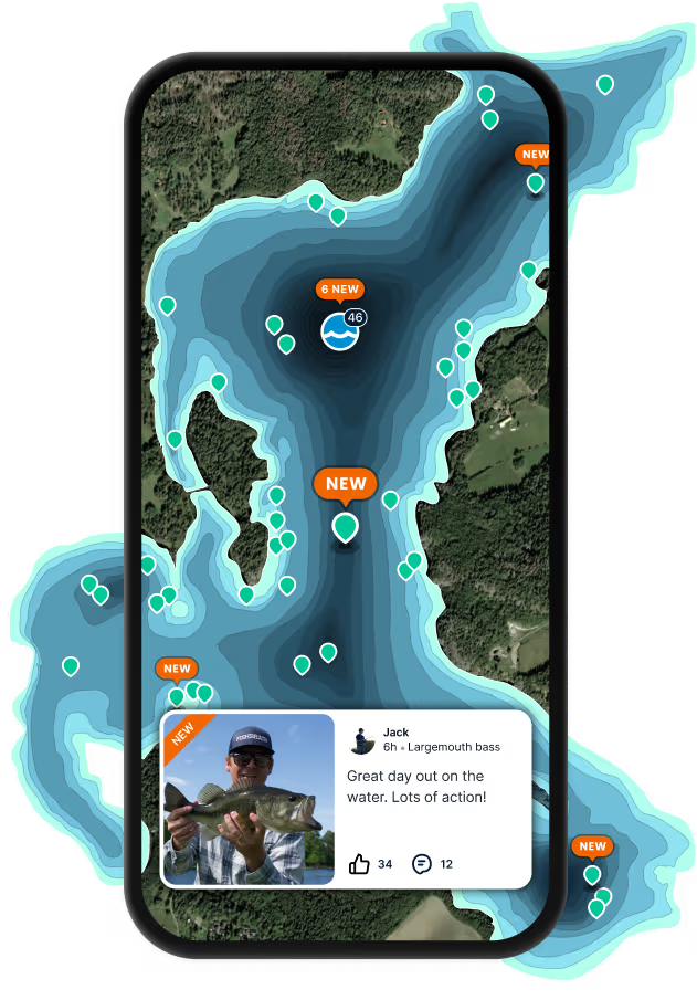
Find the best fishing spots on Mayfield by looking at where other anglers have caught fish. This can easily be done in the where it is also possible to see big fish potential and how good fishing is right now along with Garmin® depth maps.
🐟 What species are in Mayfield?
The most common species in Mayfield are:
📢 What are the latest Mayfield fishing reports?
The latest Mayfield fishing reports are:
🪪 Do I need a fishing license to fish at Mayfield?

Fishing in Indiana requires a valid state fishing license for anglers. Licenses include resident and non-resident, annual and short-term, available online and at licensed vendors.

In Indiana, no fishing license is required for anglers under 18. Residents 64 and older qualify for a discounted license. A few other exceptions worth knowing:

  • Free fishing days — most states designate 1–2 weekends a year where anyone can fish without a license

  • Tribal waters — tribal members fishing on tribal land operate under separate tribal regulations

  • Private ponds — landowners fishing their own water typically don't need a license

Non-residents usually pay more for a license than residents. Some species also require an extra stamp or endorsement on top of your base license.

Get license
App Section
Download Fishbrain and fish smarter
Unlimited access to the best fishing spot finder in the game. Get all the fishing intel you need to start catching more, and bigger, fish.

Free trial available

Loading...
Loading...
Loading...
Loading...