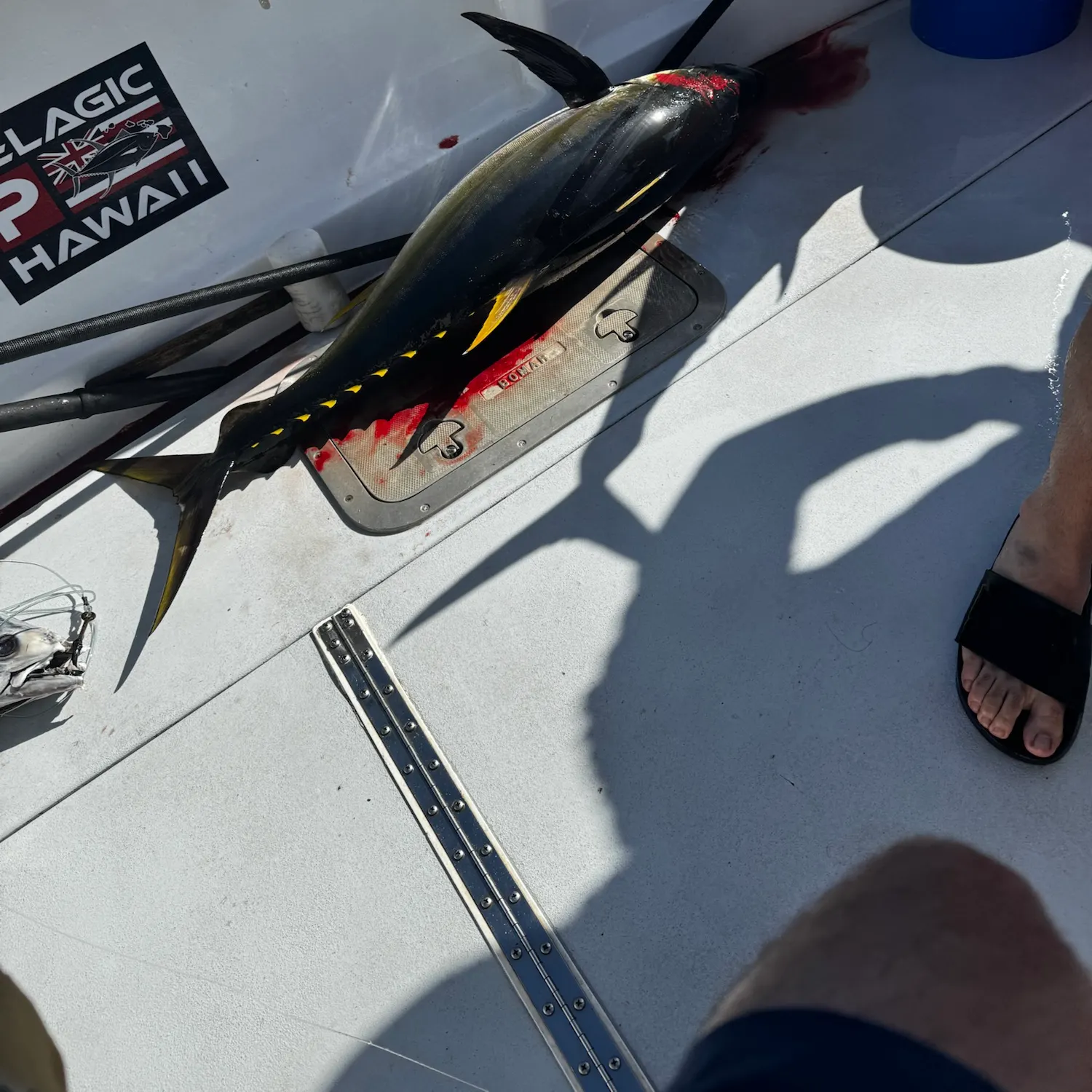
Map

Waimea Bay

Fishing spots, fishing reports, and regulations in

Hawaii, United States

5.0·48 catches

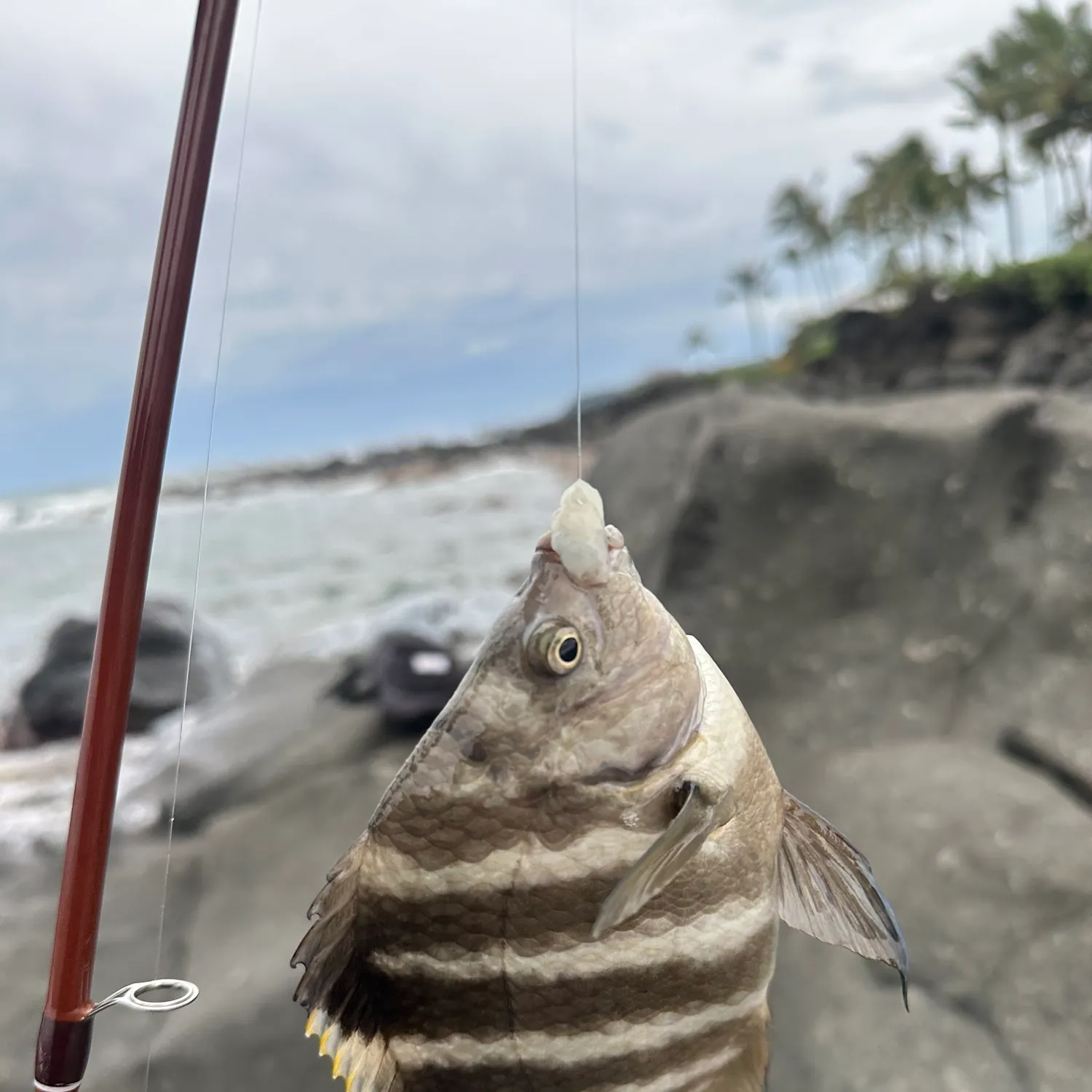
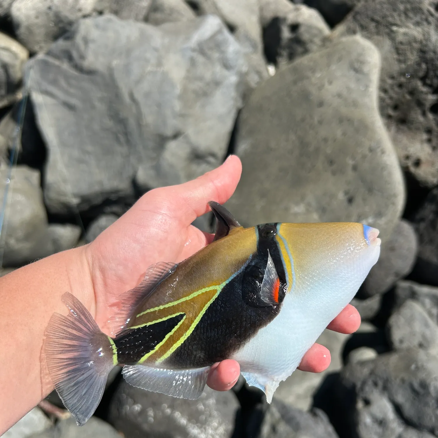
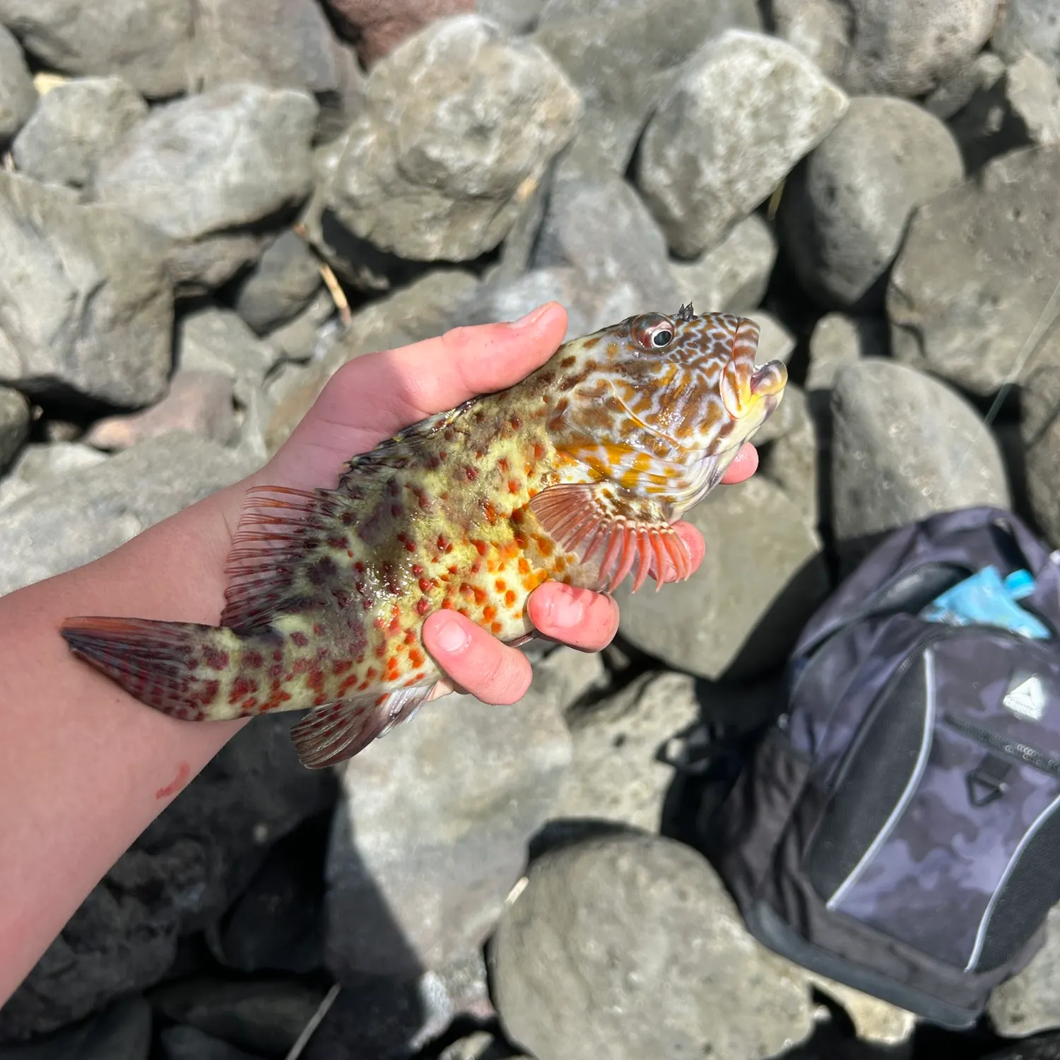
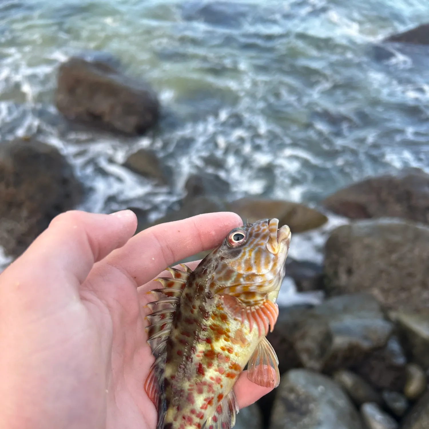
Top fish species at Waimea Bay

App Section

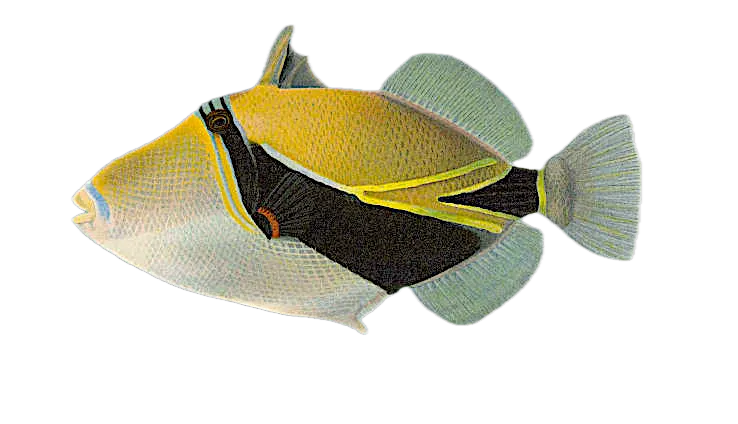
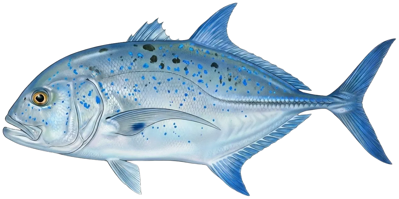
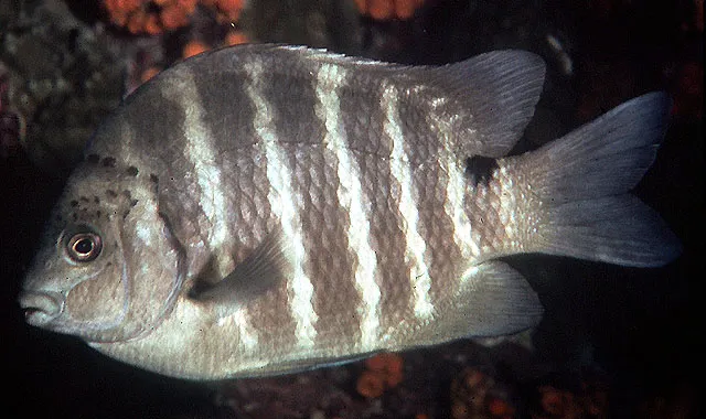
Check which species have trophy potential in Waimea Bay

Waimea Bay fishing reports

fish catches icon
recently logged catches
Loading...

Hawaiian sergeant major

length · weight

fish catches icon
recently logged catches
Loading...

Wedge-tail triggerfish

length · weight

fish catches icon
recently logged catches
Loading...

Stocky hawkfish

length · weight

fish catches icon
recently logged catches
Loading...

Stocky hawkfish

length · weight

fish catches icon
recently logged catches
Loading...

Wedge-tail triggerfish

length · weight

fish catches icon
recently logged catches
Loading...

Blackspot sergeant

length · weight

Fishbrain
More catches in the app...

Continue browsing catches and catch locations in the Fishbrain app

Loading...
Loading...
Loading...

General info

Waimea Bay is a part of an ocean located in Honolulu County, Hawaii, United States. It is most popular for fishing Wedge-tail triggerfish, Bluefin trevally, and Blackspot sergeant.

Location

21°38′29.3″N 158°03′58.6″W
Directions

Amenities

Fishing regulations at Waimea Bay, HI

Disclaimer: Always check local fishing regulations, water access rights and land ownership before fishing, regardless of any catches logged in that area by the Fishbrain community. Fishbrain has mapped millions of acres of government-owned land across the USA to help you identify potential fishing access, but you are responsible for ensuring compliance with all legal requirements.

Fishing regulations in Hawaii can change throughout the year. Make sure to check this page before fishing for the most up to date rules and regulations for the current season. Local regulations govern when you can fish, the max size of the fish you can keep, how many fish you can keep, and more.

Below you will see fishing regulations for catching Bluefin trevally as of May 12th, 2026. To view regulations for a different fish species, please click on your preferred species in the drop-down.

Bluefin trevally

Pupukea MLCD: Waimea Bay Prohibited: To fish for, take or injure any marine life (including eggs), or possess in the water any device that may be used for the taking of marine life, except as indicated in permitted activities above. To take or alter any sand, coral or other geological feature or specimen, or possess in the water any device that may be used for the taking or altering of a geological feature or specimen. To snag any akule while fishing from the shoreline of Waimea Bay according to "permitted" activities above. Permitted: To take and possess up to two pounds (combined total, squeezed dry) of limu kohu and limu lipe'epe'e by hand harvest only, provided the limu's holdfast is left in place. To possess a knife for personal safety only. Within Waimea Bay only: To take and possess any finfish with hook-and-line from the shoreline, with not more than two poles per person and one line per pole, with no more than two hooks per line. To take with legal nets and possess 'ōpelu during August and September, and akule during November and December.

To see maps of DAR's official marine managed areas, please see Hawaii DAR's ARCGIS Map Viewer.
Non-commercial aggregate bag limit = 20 (total all species of ulua and pāpio). Minimum size 16 inches fork length for sale.

Caranx melampygus, bluefin trevally, omilu, papio, pāpio, ulua, ‘ōmilu

To see maps of DAR's official marine managed areas, please see Hawaii DAR's ARCGIS Map Viewer.

Regulations for

21°38′29.3″N 158°03′58.6″W
Regulations in the map
License Icon
Local laws and licenses

Hawaii fishing license

Get license

Reviews of Waimea Bay

5.0
Loading...

1 ratings

5
4
3
2
1
Top reviews

Cities nearby

Pupukea

1.6 miles away

Haleiwa

3.8 miles away

Kawela Bay

5.7 miles away

Waialua

6.2 miles away

Helemano

7.9 miles away

Kahuku

8.1 miles away

Mokuleia

8.1 miles away

Laie

8.9 miles away

Whitmore Village

9.3 miles away

Hauula

10.1 miles away

Wahiawa

10.2 miles away

Schofield Barracks

10.2 miles away

Wheeler AFB

11.6 miles away

Punaluu

12.1 miles away

Waipio Acres

12.3 miles away

Mililani Mauka

12.3 miles away

Makaha Valley

13.2 miles away

Mililani Town

13.9 miles away

Waianae

14.6 miles away

Makaha

14.8 miles away

Kaaawa

15.1 miles away

Waipio

16.3 miles away

Royal Kunia

16.5 miles away

Waikele

17.0 miles away

Anything missing or inaccurate?

Suggest changes to improve what we show.

Suggest changes

FAQ about Waimea Bay fishing

Waimea Bay is a part of an ocean located in Honolulu County, Hawaii, United States. Its coordinates are:
21°38′29.3″N 158°03′58.6″W
.
Find the best fishing spots on Waimea Bay by looking at where other anglers have caught fish. This can easily be done in the where it is also possible to see big fish potential and how good fishing is right now along with Garmin® depth maps.
The most common species in Waimea Bay are:
The latest Waimea Bay fishing reports are:
App Section
Download Fishbrain and fish smarter
Unlimited access to the best fishing spot finder in the game. Get all the fishing intel you need to start catching more, and bigger, fish.

Free trial available

Loading...
Loading...
Loading...
Loading...